Rock Cr. Auric
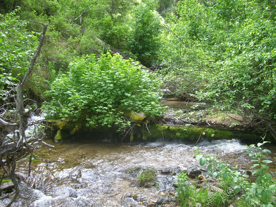
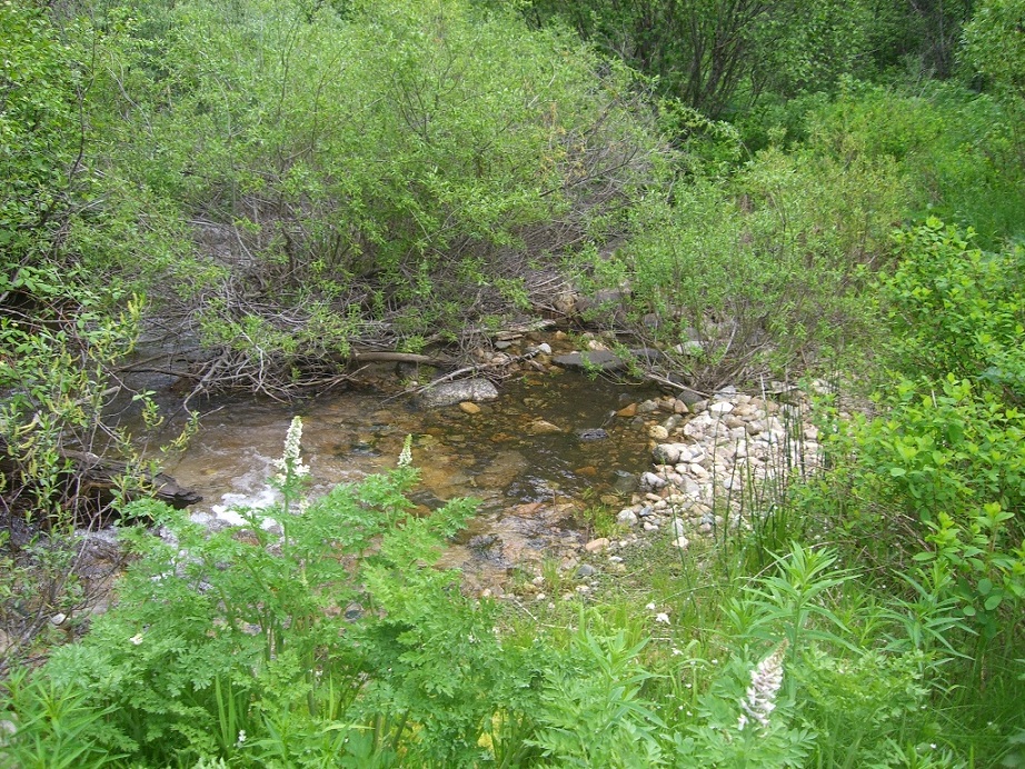
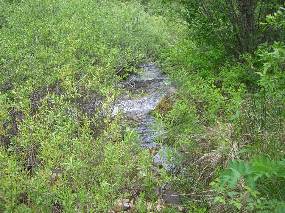
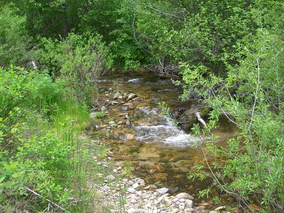
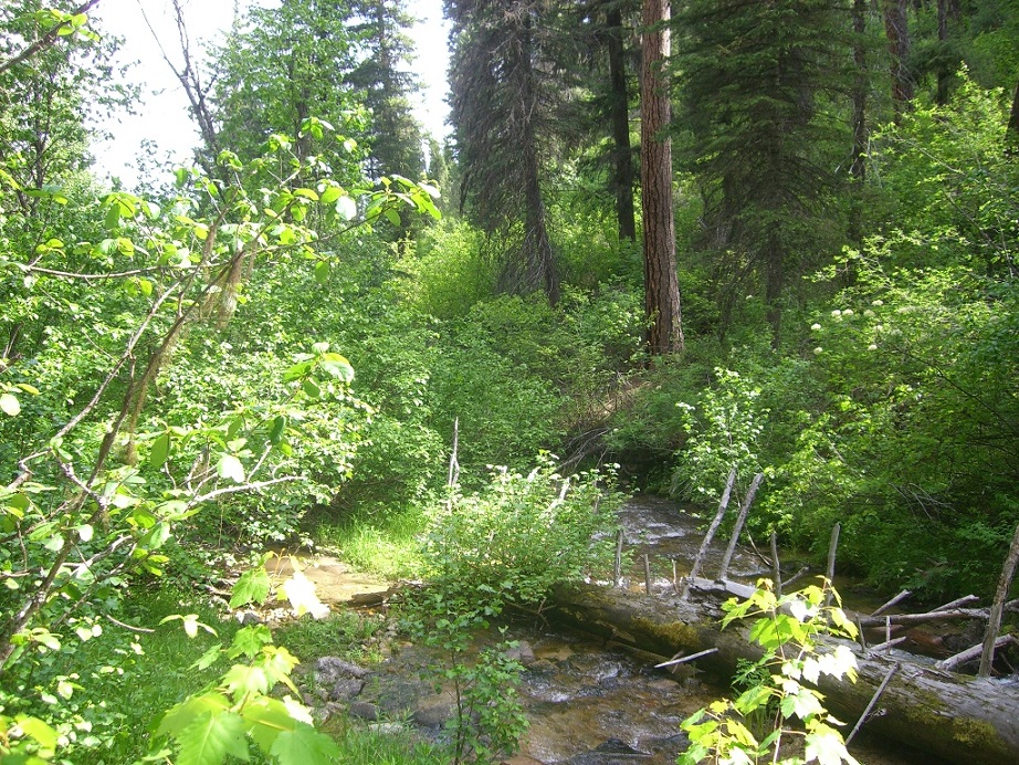
This beautiful unpatented mining claim ha great access to the camping area, yet gives a more remote appeal with a short hike up the creek bench to the claim, with services just a mile & 1/2 from the mining claim in Lowman, Idaho. Rock Creek has a collection of rich deposits downstream of the historic Sloper Mine, Golden Chariot Mine, Golden Cycle Mine in Boise County, as well as other shafts located on the Burns Ridge line (see link below for the Geological Survey report for these mines… pgs 248 to 250). The campsites are suitable for a trailer, with ample year round water across the whole claim. Incredible scenery, lots of trails and ATV roads, and the Kirkham hot springs 4 miles down HWY 21, for all kinds of recreational enjoyment nearby.
- Acreage: 20 acres
- River footage: 1350’ +feet
- Placer/lode: placer
- Location: Boise County, Township 8N, Range 7E, Section 04, NE Corner
- Mining claim serial #: IMC221448
Map to Claim
Coordinates
NW 44°03’57.8088″N, -115°38’01.0428″W
NE 44°03’57.8088″N, -115°37’52.3920″W
SE 44°03’44.2800″N, -115°37’52.3920″W
SW 44°03’44.2800″N, -115°38’01.0428″W
NW 44.066058’N, -115.633623’W
NE 44.066058’N, -115.631220’W
SE 44.062300’N, -115.631220’W
SW 44.062300’N, -115.633623’W
Maps


Images


Overview
Driving Directions from Boise: You can either take HWY 21 north (through Idaho City) approximately 84 miles to Lowman, or you can take HWY 55 north (turning east at Banks on the Banks/Lowman HWY) approximately 72 miles to Lowman. From Lowman, head south 0.6 mile, turning right (south) onto NF 594. Continue south on NF 594, in exactly 1 mile you will come to a culvert which crosses Rock Creek. “Rock Cr. Auric” is about a ¼ mile (about 1200’) upstream (south) from this location. You can park at either of the campgrounds and the walk along the river bench at a gradual incline, is the best access into the claim.