Price: $1,750 - $4,000
AvailableClear Creek
Overview
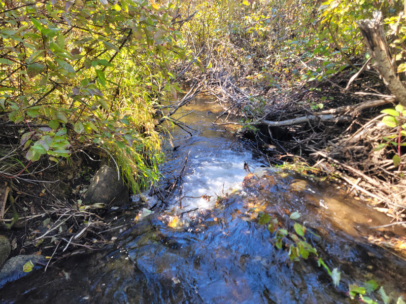
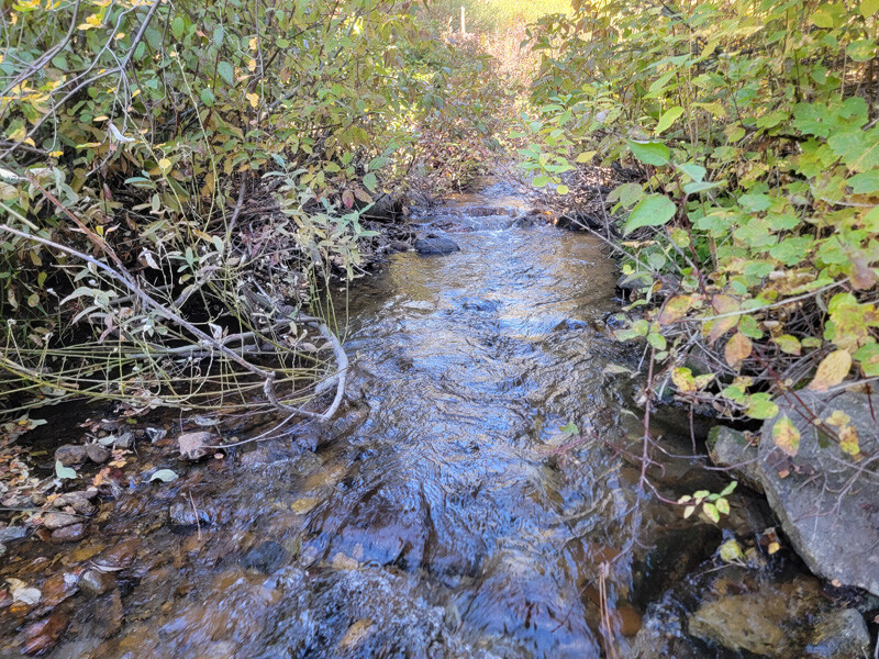
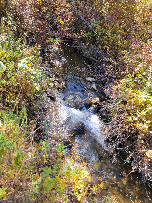
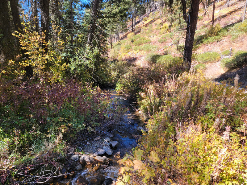
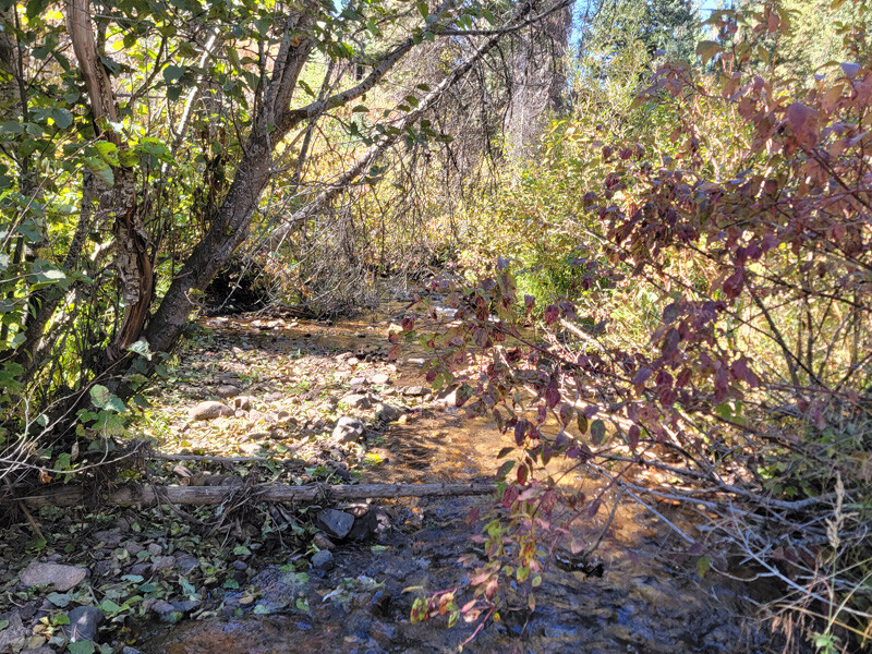
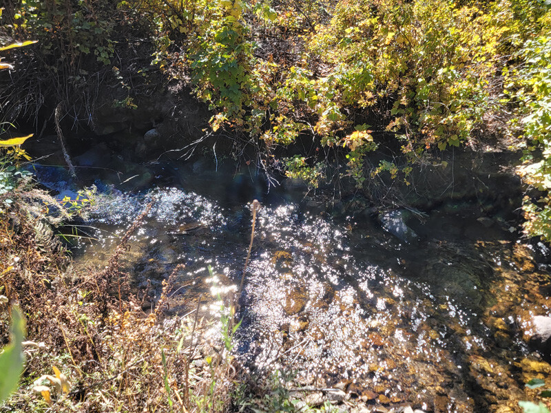
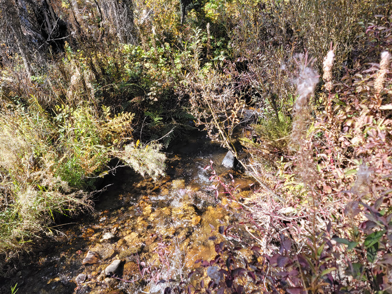
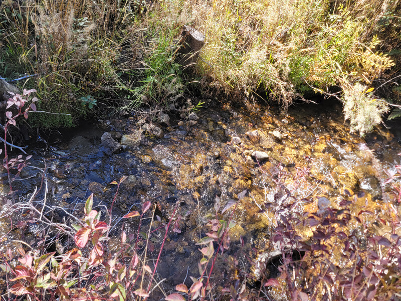
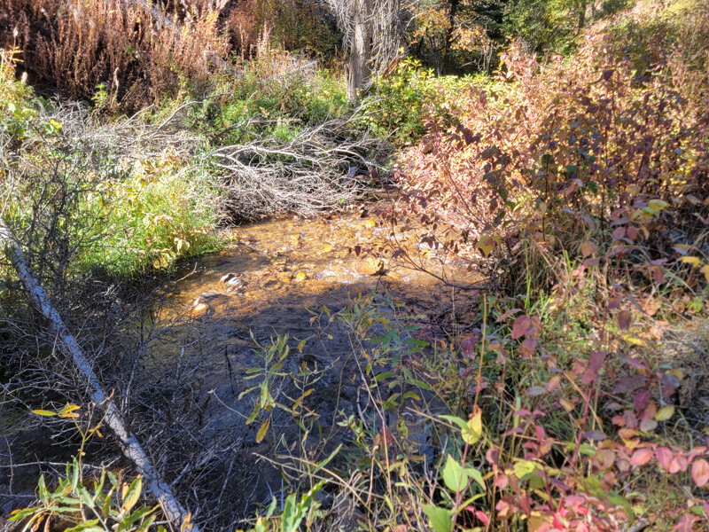
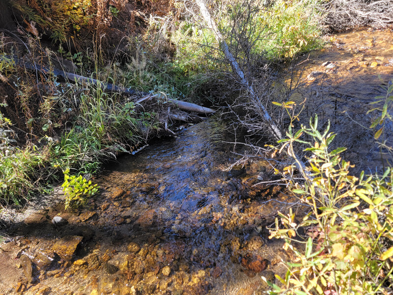
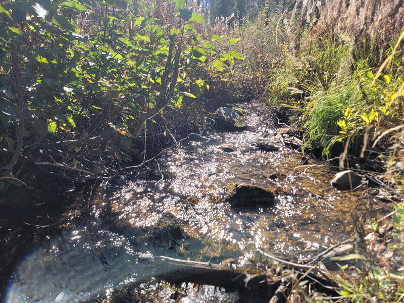
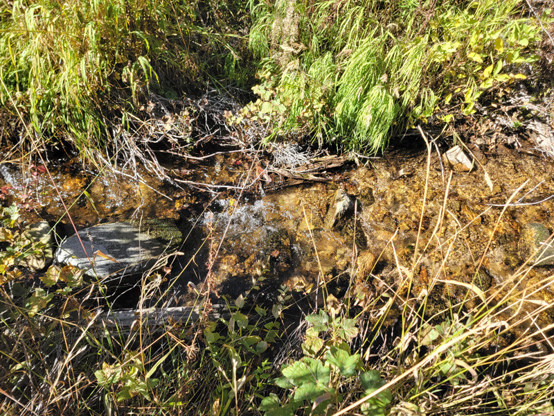
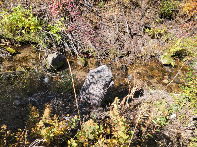
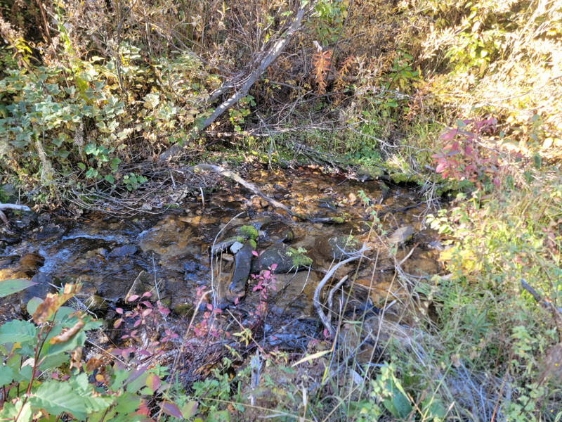
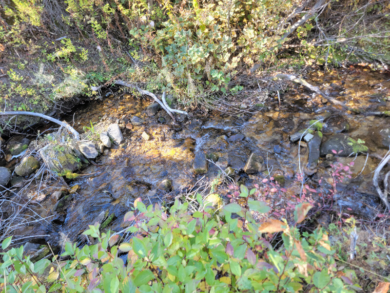
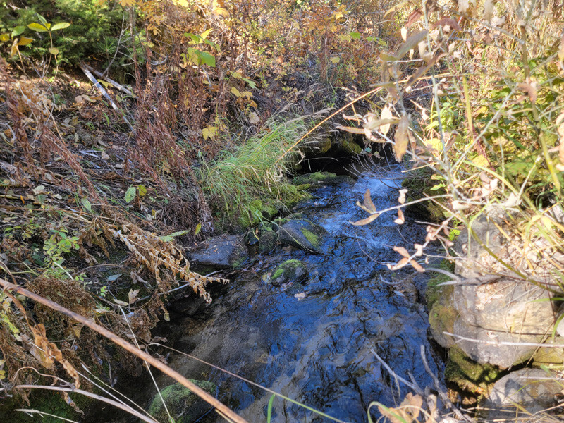
Clear Creek, a gold bearing tributary of Grimes Creek, is fed by nearby Jackson and Wilson Peaks. These are the same source providers for the Grimes Creek and Elk Creek tributaries which are historically famous for their gold production. The creek about 5 miles downstream passes by historic Pioneerville and mountains of dredge pilings from the old dredge work done on the lower portion of Clear Creek. This portion of Clear Creek is nestled amongst narrow forested valley walls which prevented old time miners from dredging in this area leaving the creek virtually untouched. Test holes dug all throughout Clear Creek, found bedrock varying roughly between 3-6 feet deep.
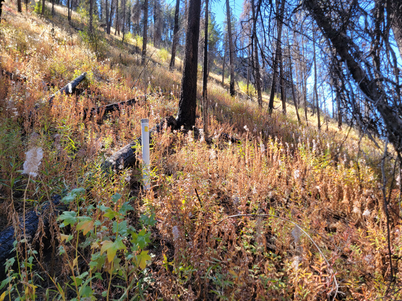
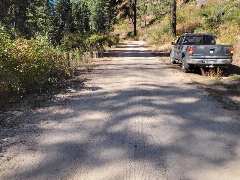
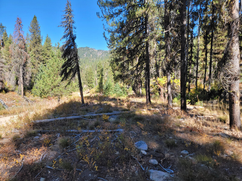
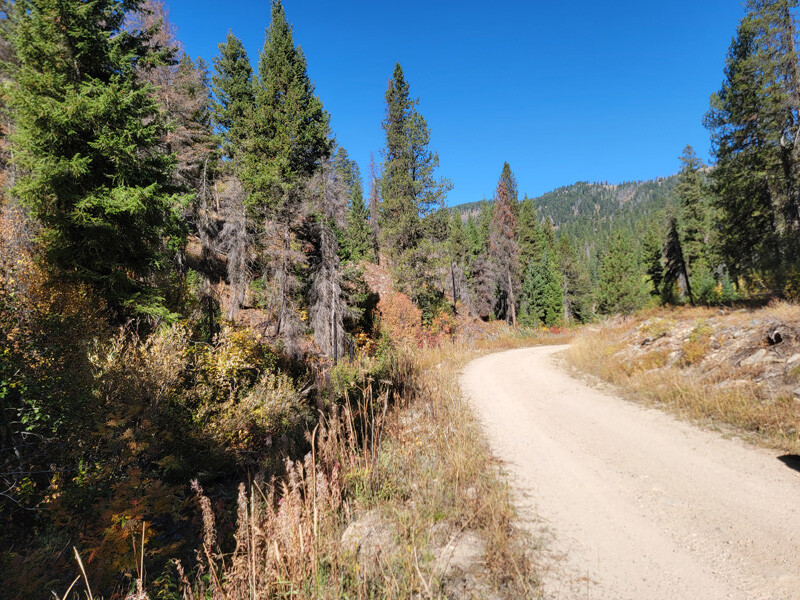
The claim is surrounded by forested mountains with good road access in a region rich in gold history. There are open camping areas scattered throughout Clear Creek, and on the claims themselves have listed some of those areas. These claims are a unique offering, with dredging season, good access, along with considerable privacy for those who wish to get away from it all. Full services are available at Idaho City about 14 miles away.
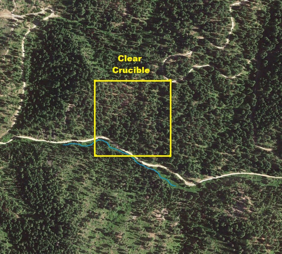
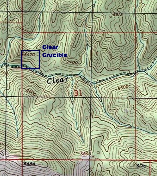
Clear Crucible
Price: $1,750
- Acreage: 10 acre unpatented placer claim
- River footage: 500’ of Clear Creek - Pullouts on claim
- Location: Boise County, Township 8N, Range 6E, Sec. 31, NW ¼
- Mining claim serial #: ID106852313
Map to Claim
Coordinates
Marker Degrees, Minutes, Seconds
NW 43°59’26.1240″N, -115°48’01.9800″W
NE 43°59’26.1240″N, -115°47’52.8000″W
SE 43°59’19.5000″N, -115°47’52.8000″W
SW 43°59’19.5000″N, -115°48’01.9800″W
Corner Latitude/Longitude
NW 43.99059°N, -115.80055°W
NE 43.99059°N, -115.79800°W
SE 43.98875°N, -115.79800°W
SW 43.98875°N, -115.80055°W
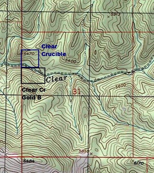
Aerial & Topo Images
Images
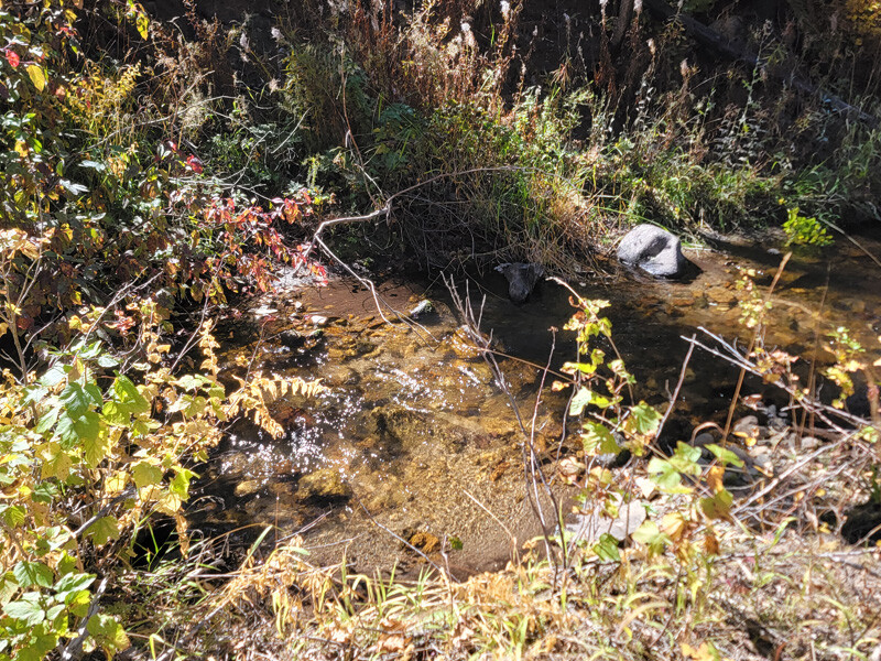
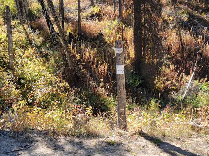
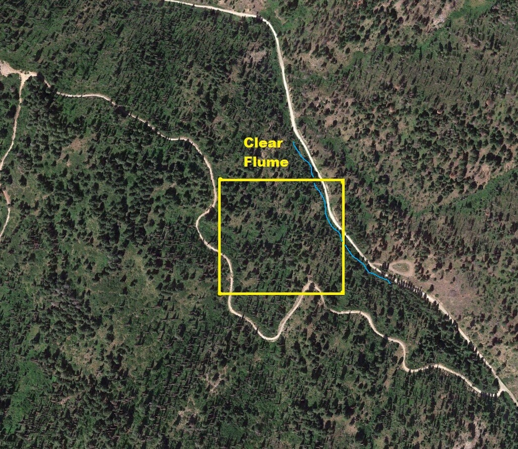
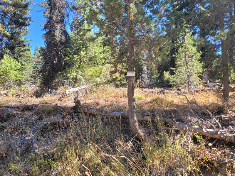
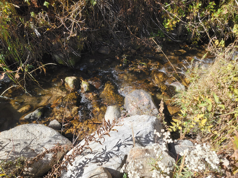
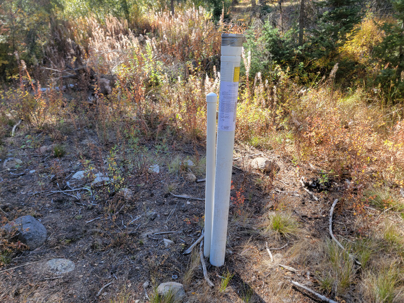
Clear Flume
Price: $1,750
- Acreage: 10 acre unpatented placer claim
- River footage: 500’ of Clear Creek - camping area 100’ from claim
- Location: Boise County, Township 8N, Range 6E, Sec. 32, NE ¼
- Mining claim serial #: ID106852316
Map to Claim
Coordinates
Marker Degrees, Minutes, Seconds
NW 43°59’20.2920″N, -115°45’58.9320”W
NE 43°59’20.2920″N, -115°45’49.5000”W
SE 43°59’13.9560″N, -115°45’49.5000”W
SW 43°59’13.9560″N, -115°45’58.9320”W
Marker Latitude & Longitude
NW 43.98897°N, -115.76637°W
NE 43.98897°N, -115.76375°W
SE 43.98721°N, -115.76375°W
SW 43.98721°N, -115.76637°W
Aerial & Topo Images
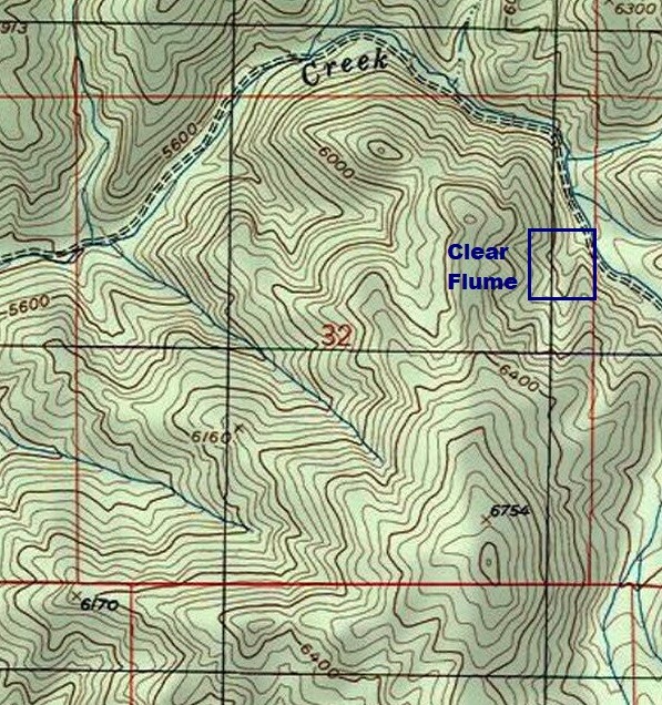
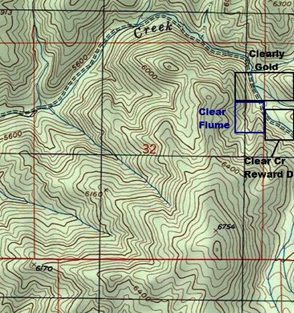
Images
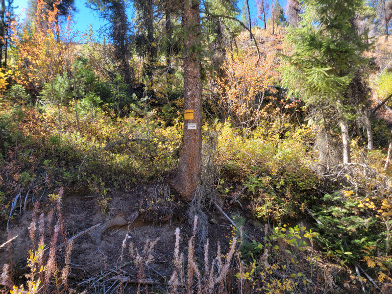
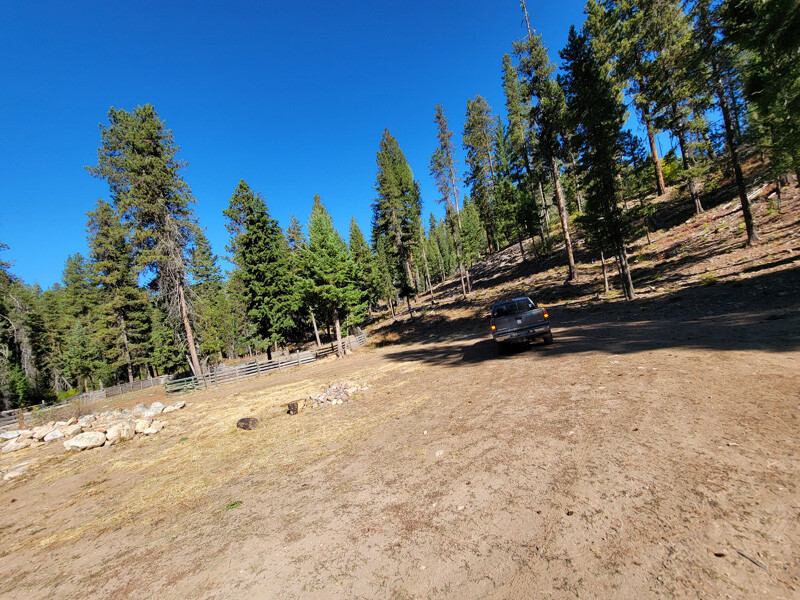
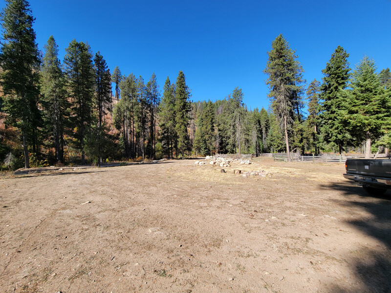
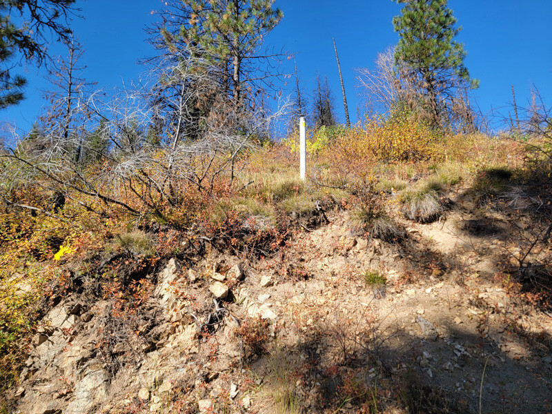
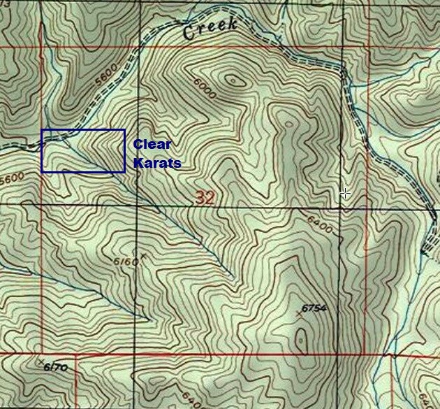
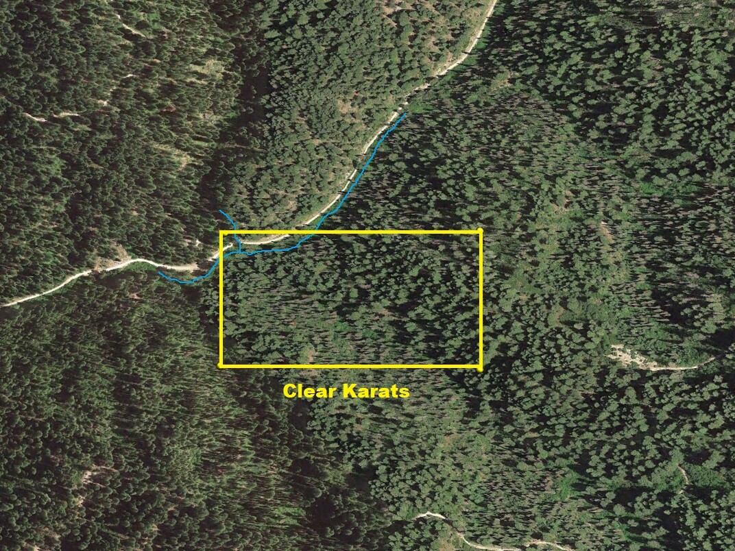
Clear Karats
Price: $2,750 Sale Pending
- Acreage: 20 acre unpatented placer claim
- River footage: 850’+ of Clear Creek & 150’ of gold bearing tributary - 1 camping area on claim - camping area 50’ from claim
- Location: Boise County, Township 8N, Range 6E, Sec. 32, NW ¼
- Mining claim serial #: ID106852314
Map to Claim
Coordinates
Marker Degrees, Minutes, Seconds
NW 43°59’19.7520″N, -115°47’01.8240″W
NE 43°59’19.7520″N, -115°46’43.6080″W
SE 43°59’12.9480″N, -115°46’43.6080″W
SW 43°59’12.9480″N, -115°47’01.8240″W
Corner Latitude/Longitude
NW 43.98882°N, -115.78384°W
NE 43.98882°N, -115.77878°W
SE 43.98693°N, -115.77878°W
SW 43.98693°N, -115.78384°W
Aerial & Topo Images
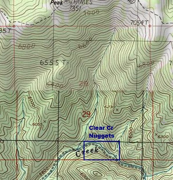
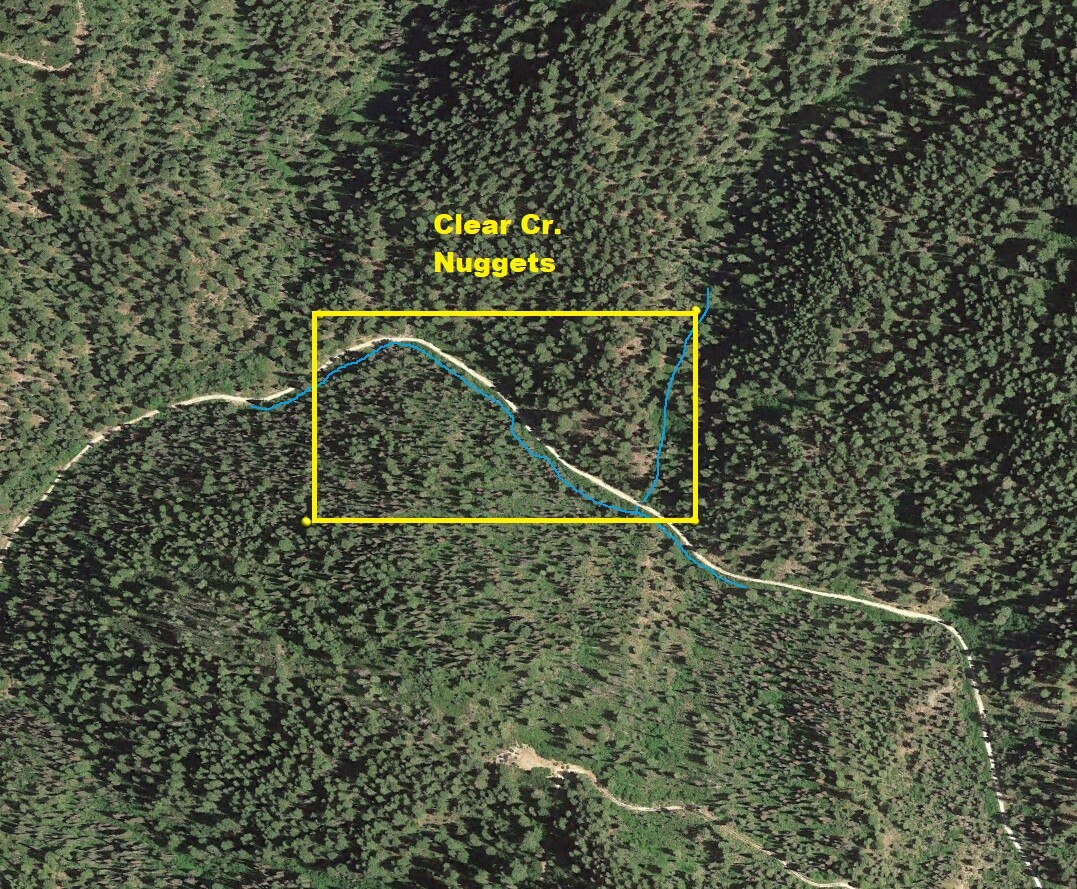
Clear Creek Nuggets
Price: $4,000 Sale Pending
- Acreage: 20 acre unpatented placer claim
- River footage: 1500’ of Clear Creek - 1 camping area on claim
- Location: Boise County, Township 8N, Range 6E, Sec. 29, SE ¼
- Mining claim serial #: ID106852315
Map to Claim
Coordinates
Marker Degrees, Minutes, Seconds
NW 43°59’40.7400″N, -115°46’25.9680”W
NE 43°59’40.7400″N, -115°46’07.8960”W
SE 43°59’33.6480″N, -115°46’07.8960”W
SW 43°59’33.6480″N, -115°46’25.9680”W
Marker Latitude & Longitude
NW 43.99465°N, -115.77388°W
NE 43.99465°N, -115.76886°W
SE 43.99268°N, -115.76886°W
SW 43.99268°N, -115.77388°W
Aerial & Topo Images
Will consider a bundle for Clear Crevice & Clear Snipe of $4,500
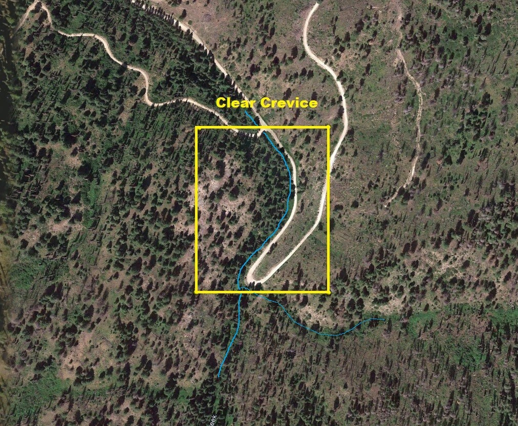
Clear Crevice
Price: $2,750 Sale Pending
- Acreage: 12.5 acre unpatented placer claim
- River footage: 950’ of Clear Creek Pullouts on claim or camping 50’ south of claim
- Location: Boise County, Township 8N, Range 6E, Sec. 33, NW & SW ¼s
- Mining claim serial #: ID106852317
Map to Claim
Coordinates
Marker Degrees, Minutes, Seconds
NW 43°59’08.4430″N, -115°45’41.1190”W
NE 43°59’08.4430″N, -115°45’32.6290”W
SE 43°59’00.7440″N, -115°45’32.6290”W
SW 43°59’00.7440″N, -115°45’41.1190”W
Marker Latitude & Longitude
NW 43.98568°N, -115.76142°W
NE 43.98568°N, -115.75906°W
SE 43.98354°N, -115.75906°W
SW 43.98354°N, -115.76142°W
Aerial & Topo Images
Show Me The Gold
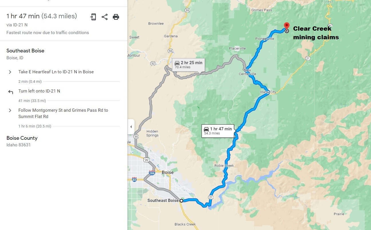
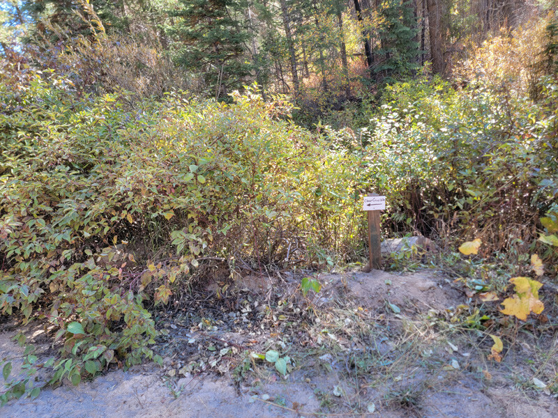
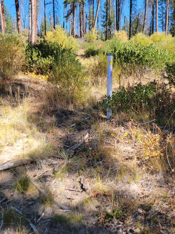
Driving Directions: From I-84 in Boise, take exit 57 and head east on Gowen Road/HWY 21. Stay on HWY 21 for 40 miles to Idaho City. In Idaho City turn left on Montgomery Street, at about 0.4 of a mile you will turn left which is also Montgomery St, but also known as Centerville Road or NF-307. Continue on NF-307 for 7.4 miles (to New Centerville) and make a right onto NF-382 (aka Grimes Creek Road). Continue on NF-382 for 7.4 miles (to Pioneerville) and make a right onto NF-380. Continue on NF-380 for approximately 3.6 miles until you reach the mining claims. Signage has been posted along the road, showing where the mining claim boundaries are positioned.
From the west end of Boise it is faster to access this area by taking HWY 55 to Horseshoe Bend, then east over the Harris Creek Summit to New Centerville, then taking the NF-382 to Pioneerville, Pioneerville to the claims.