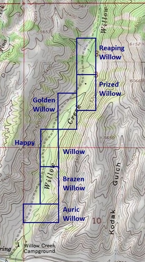
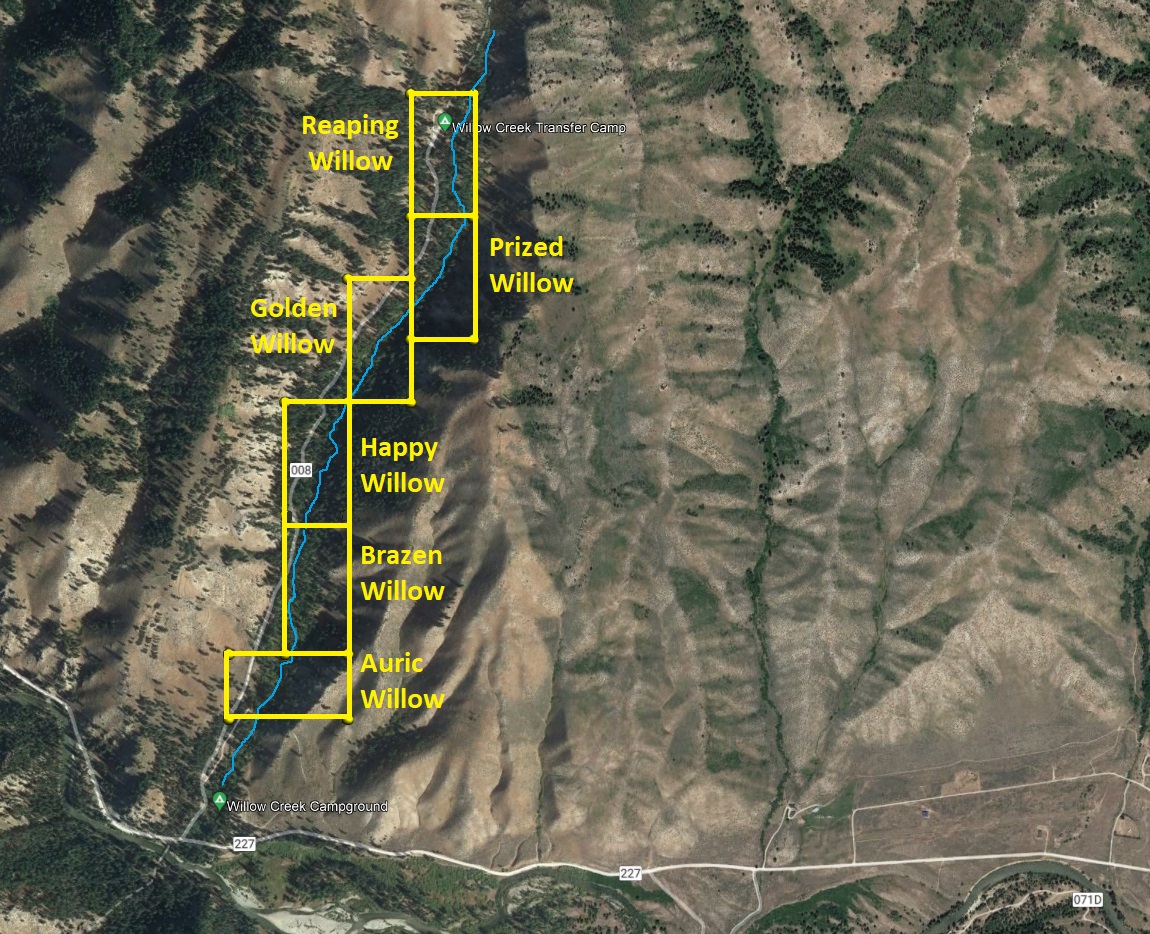
Willow Claims
Rocky Bar Sold
Overview
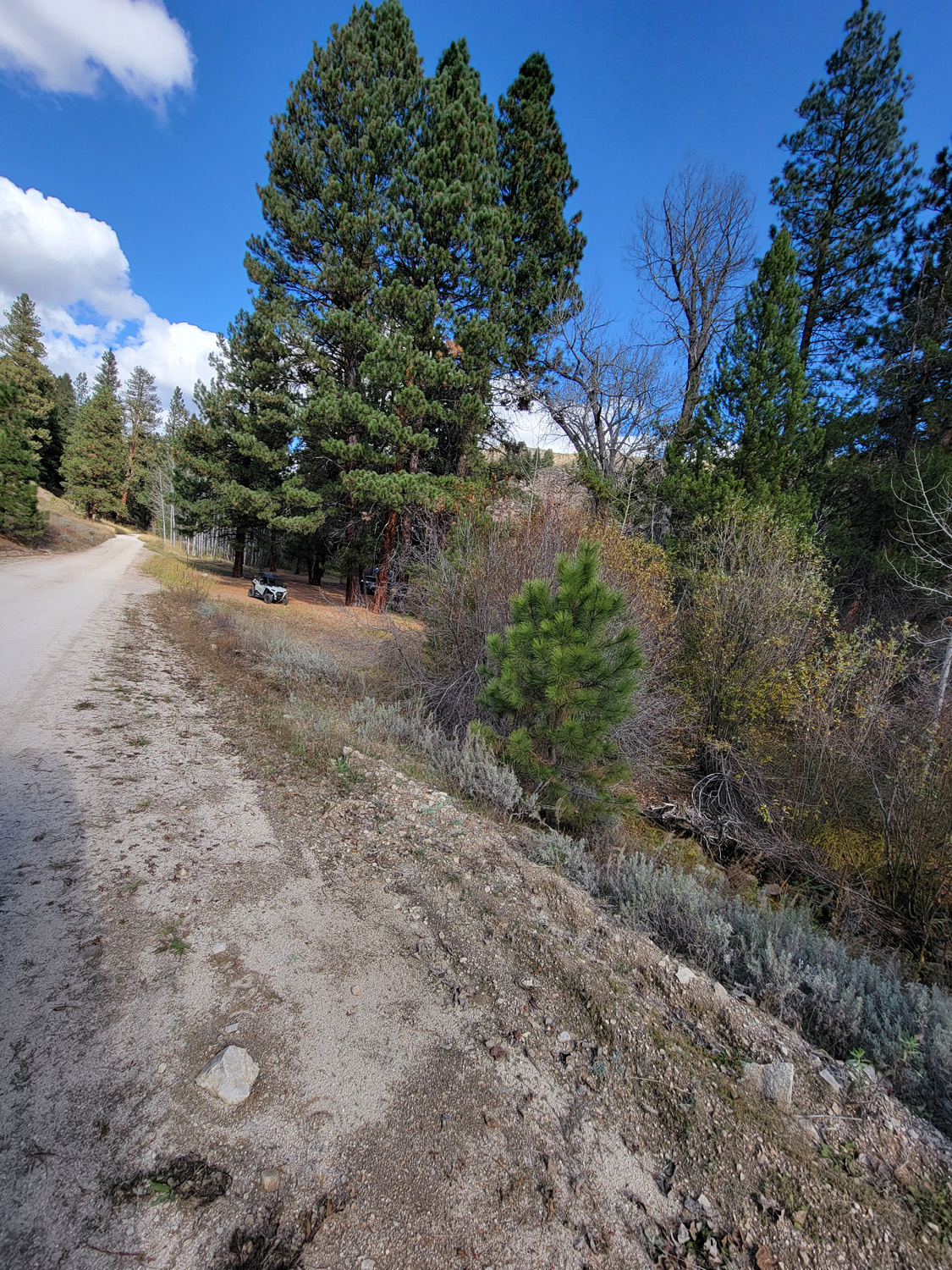
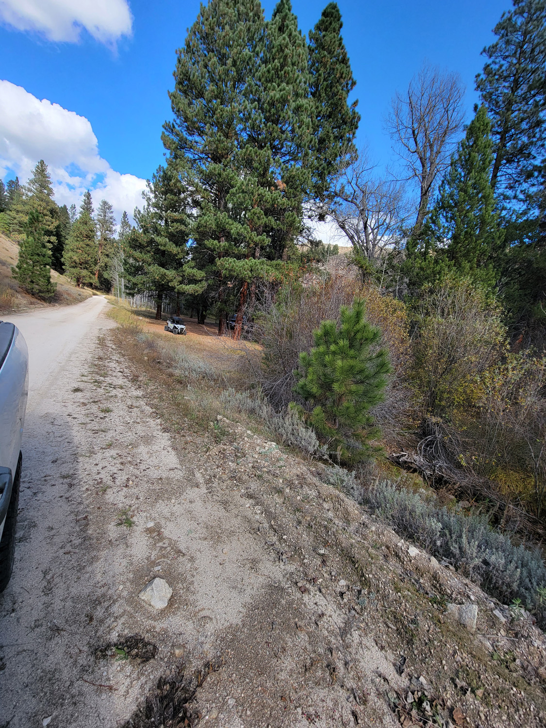
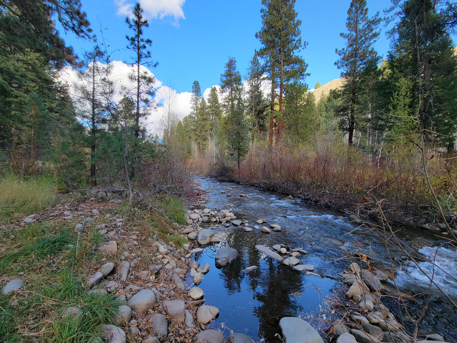
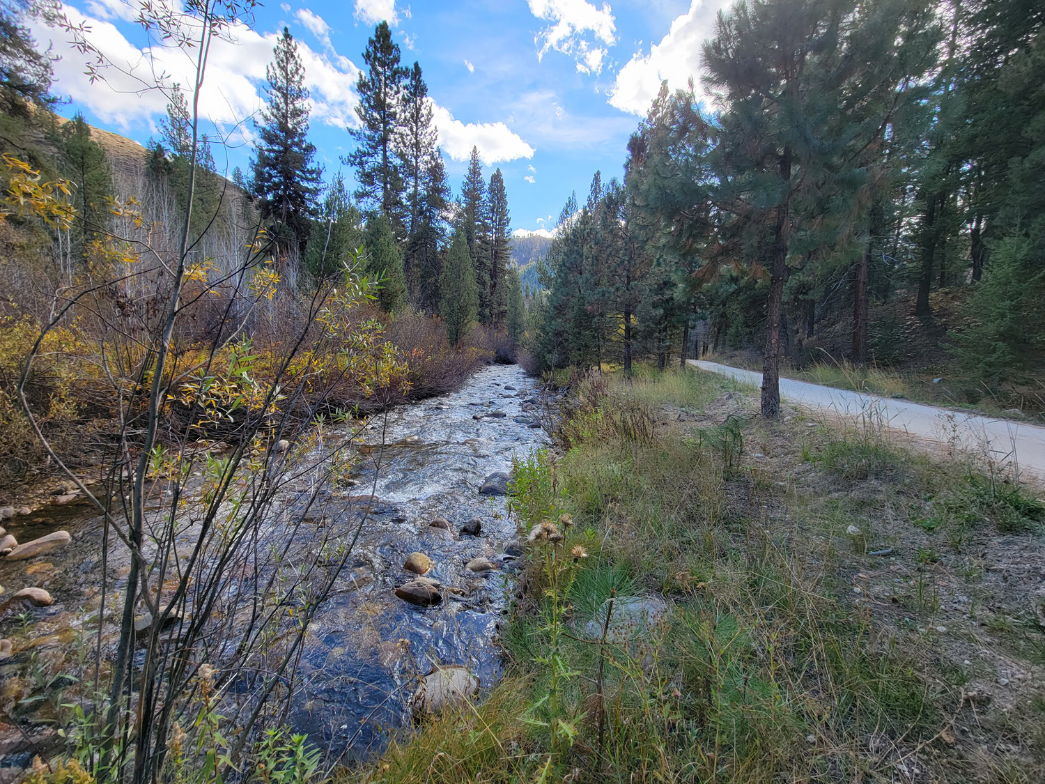
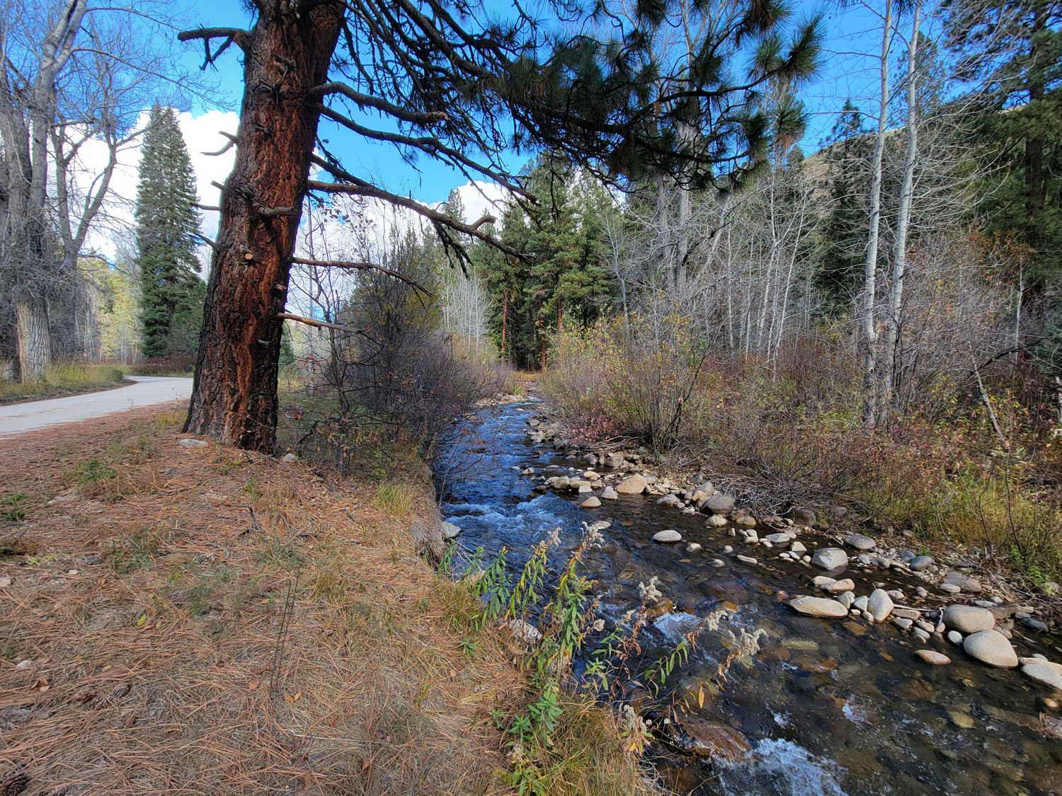
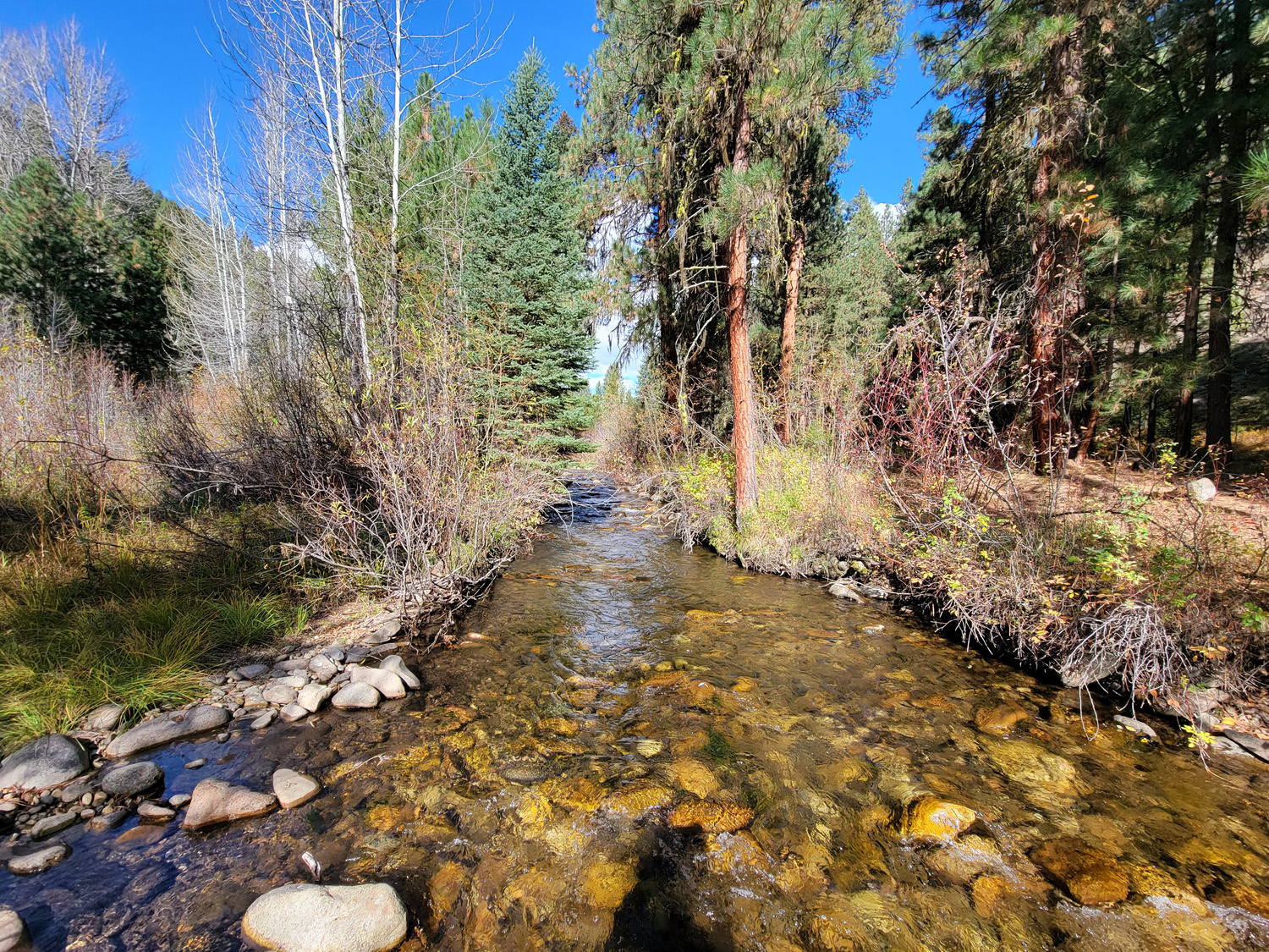
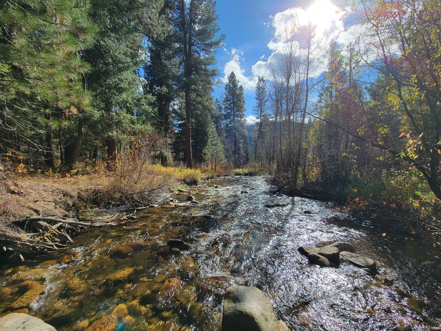
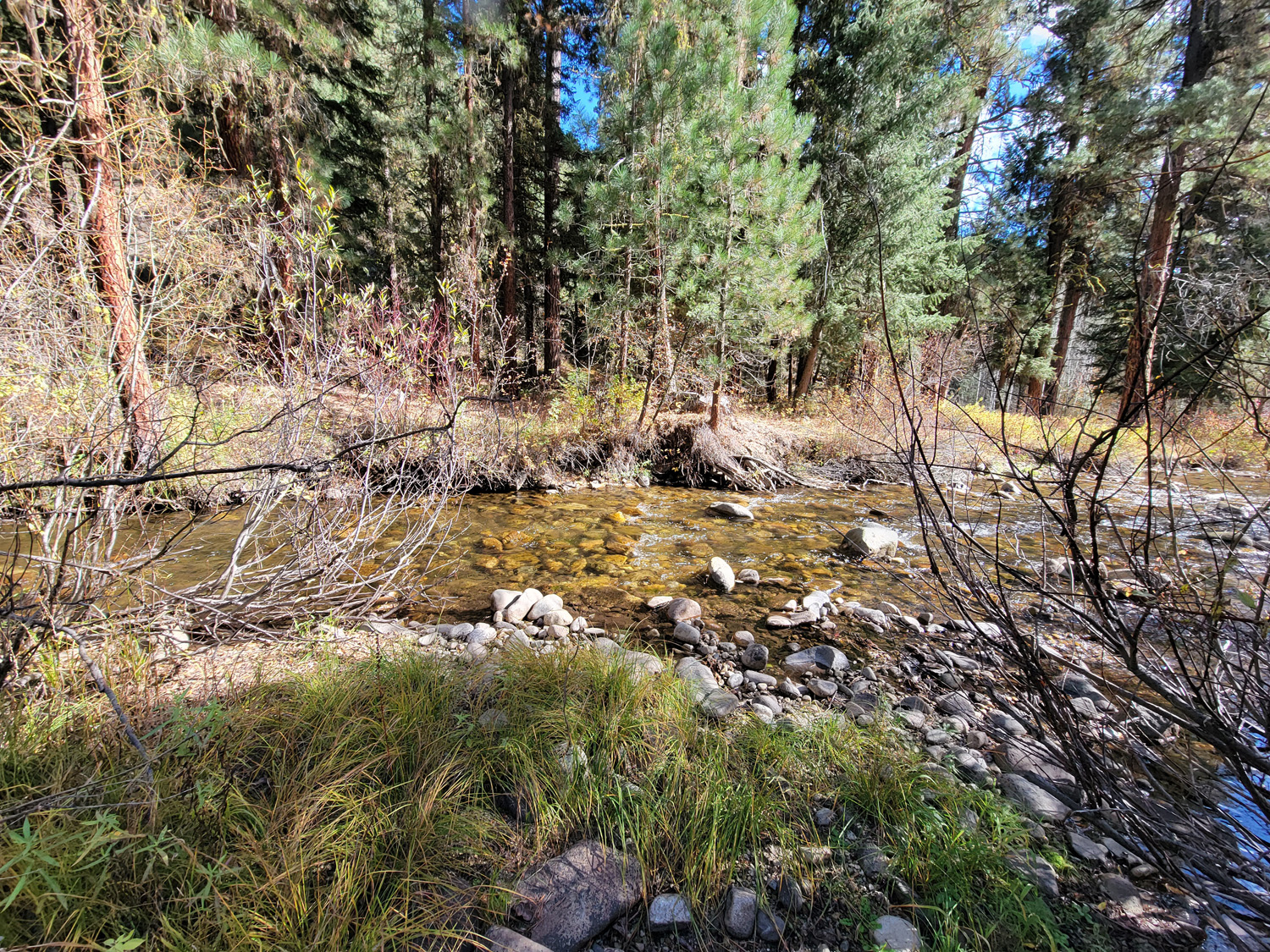
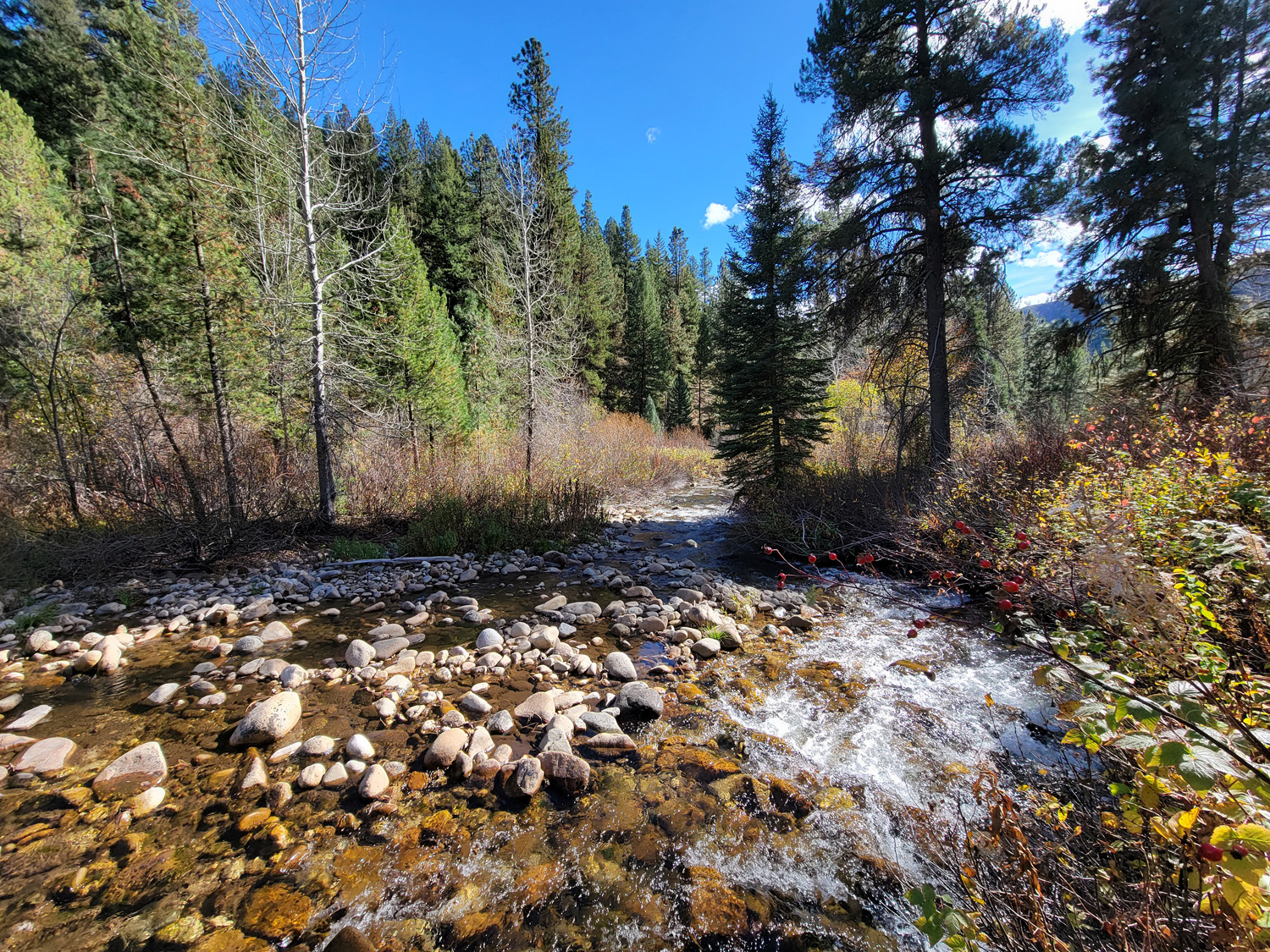
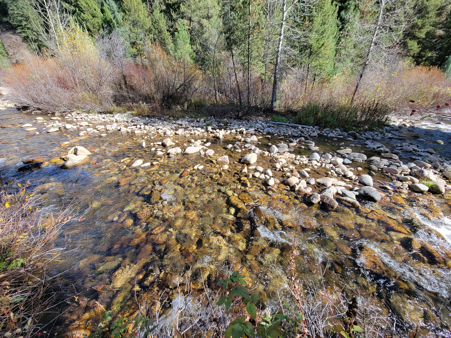
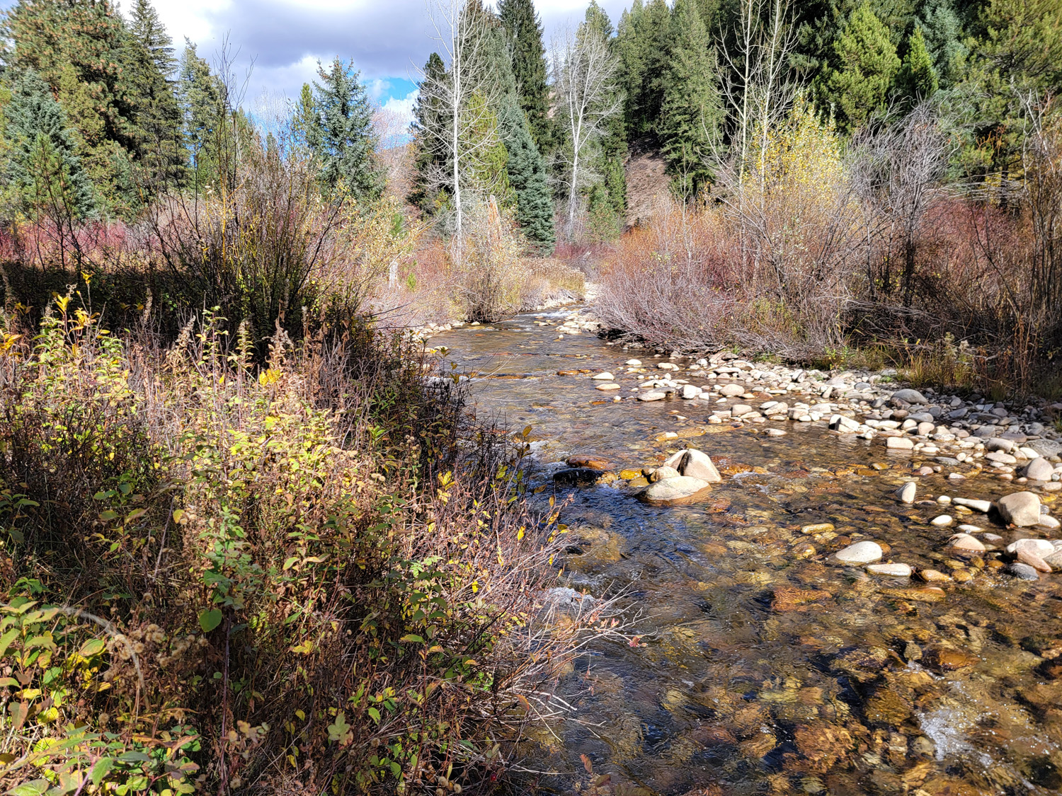
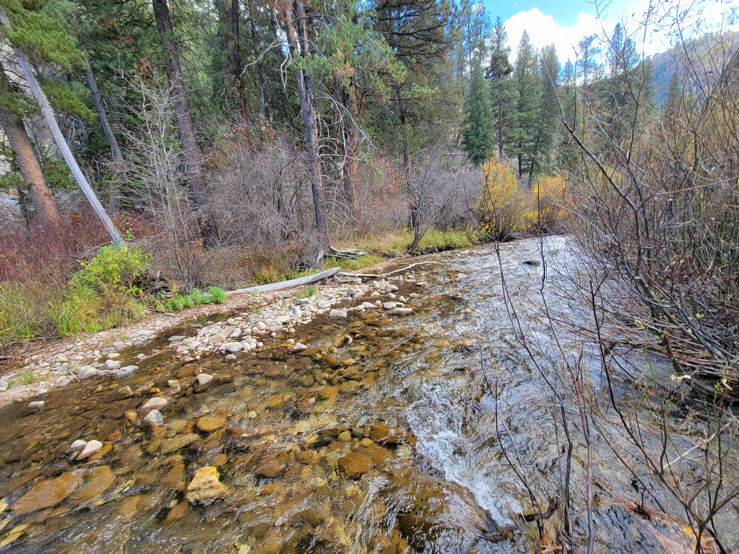
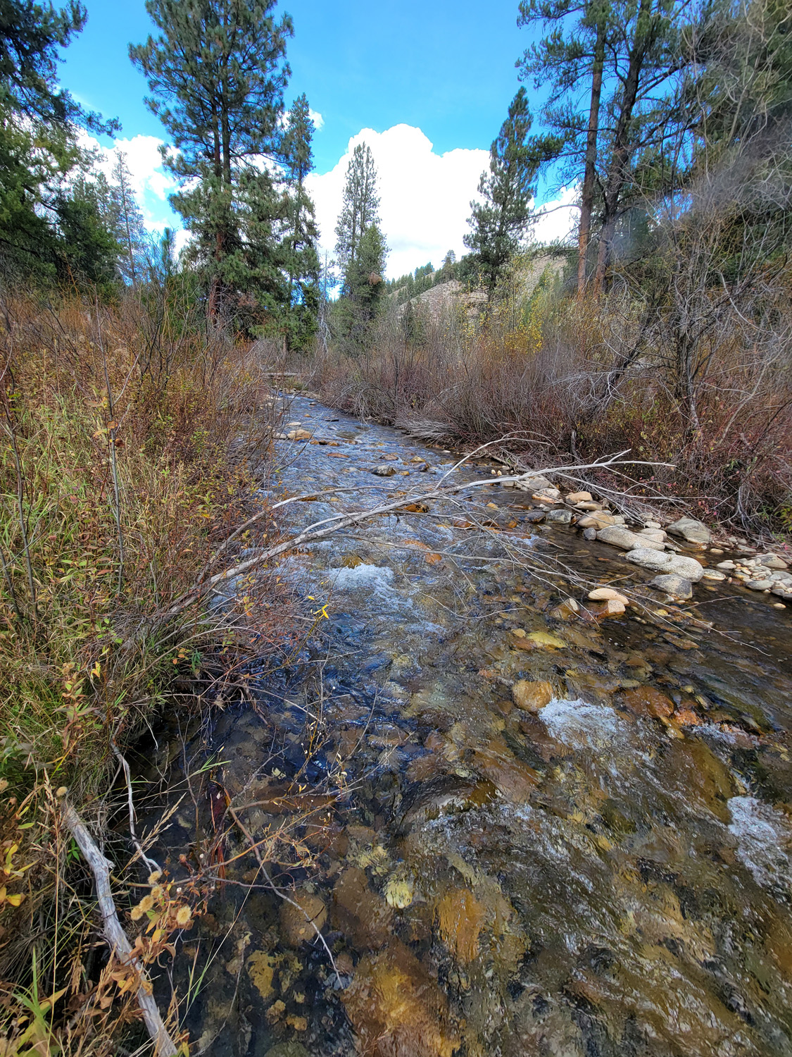
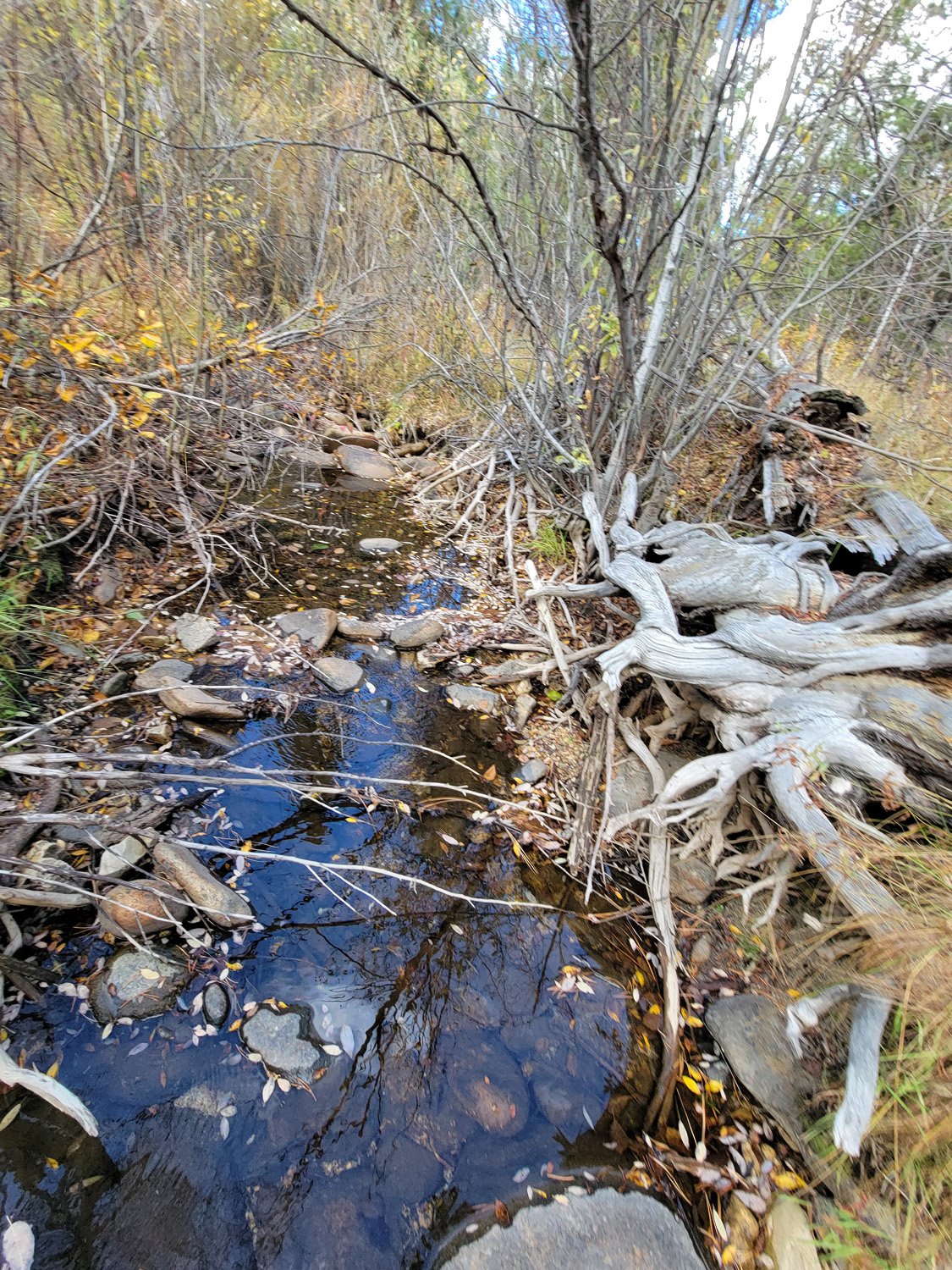
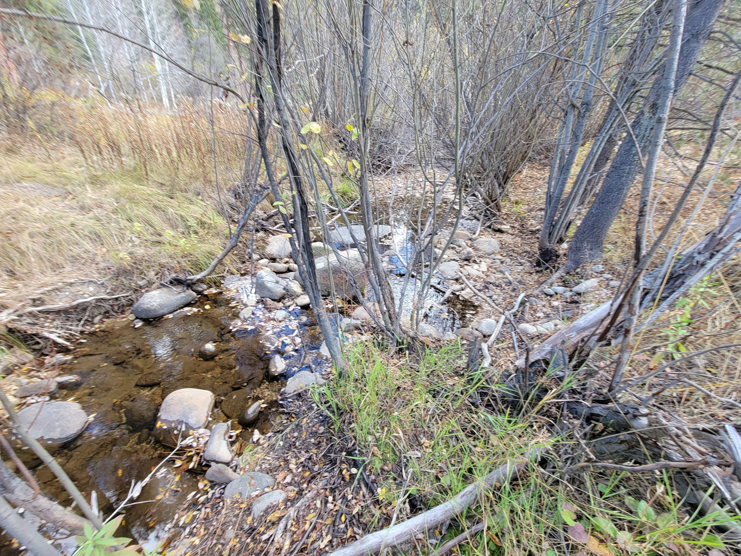
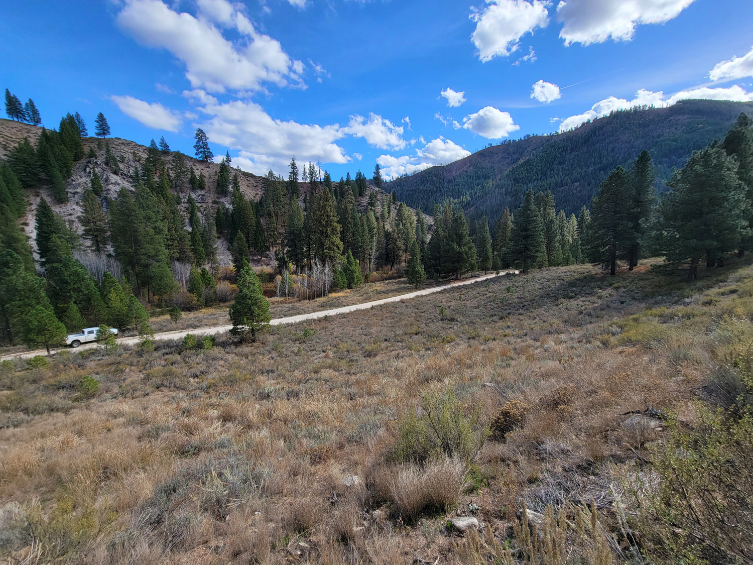
These mining claims are positioned approximately 7 miles upstream (east) from Featherville on Willow Creek, a tributary of the SF Boise River. When taking a visit in Featherville, you may notice the large tailing piles at the Feather River & SF Boise confluence, but you will also see some of the tailings randomly farther west on the SF Boise, as it is a rich riverbed as well. It is pavement all the way into Featherville & a well graded 2 lane gravel NF 227 road. Showing the rich gold history of this area.
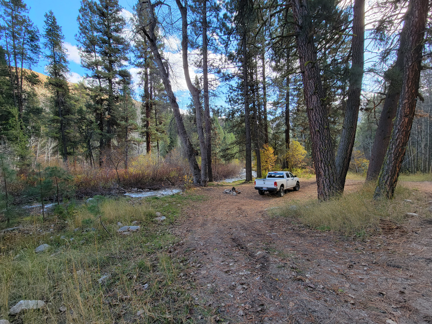
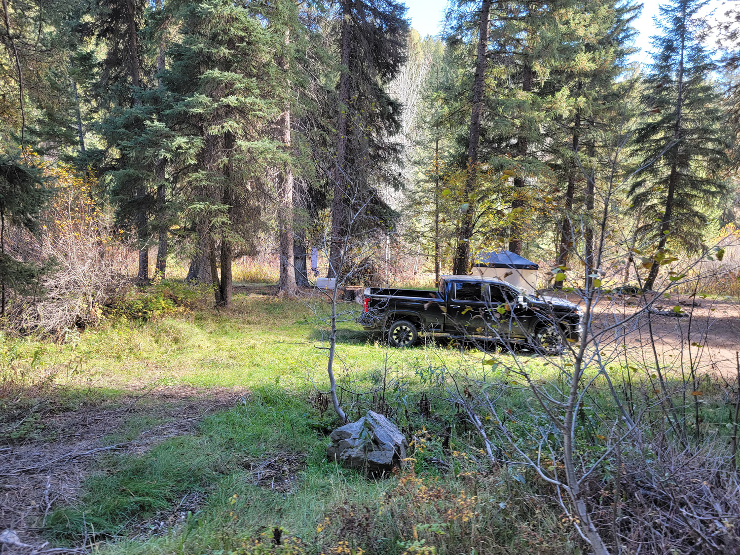
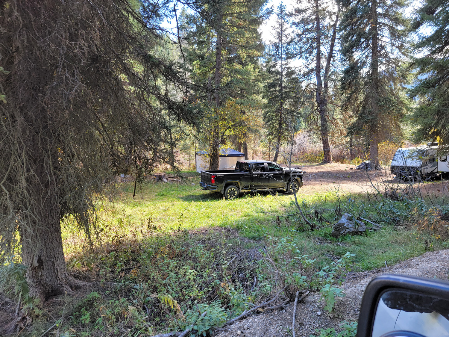
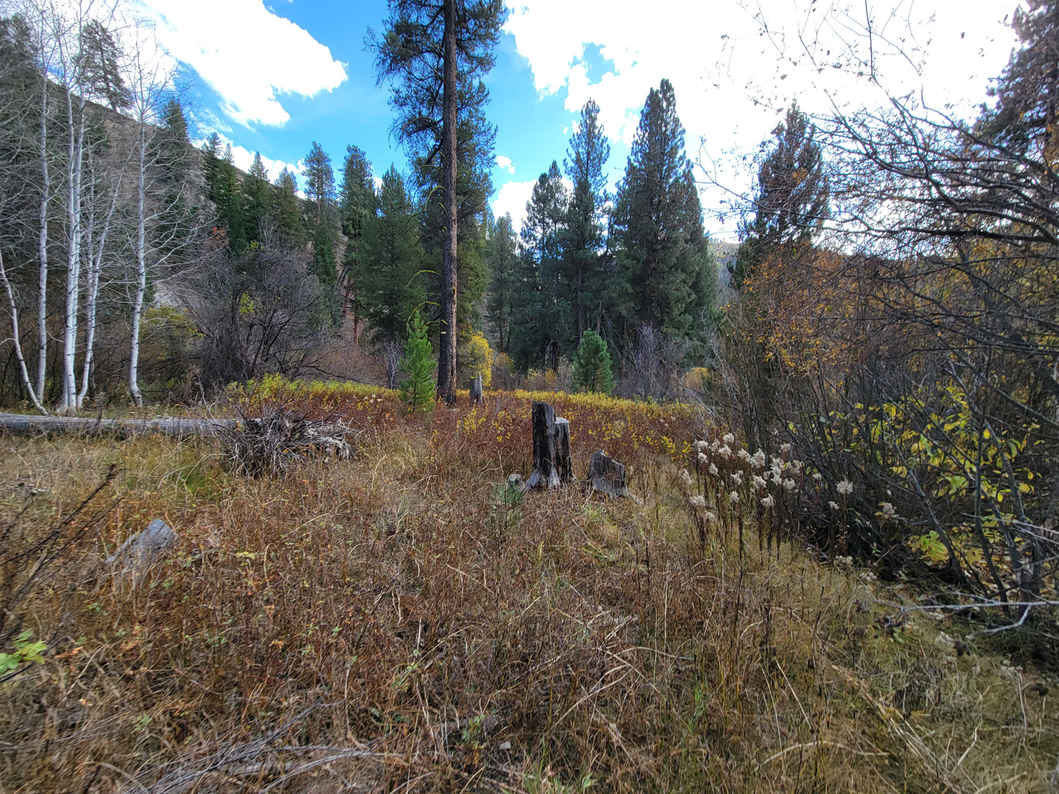
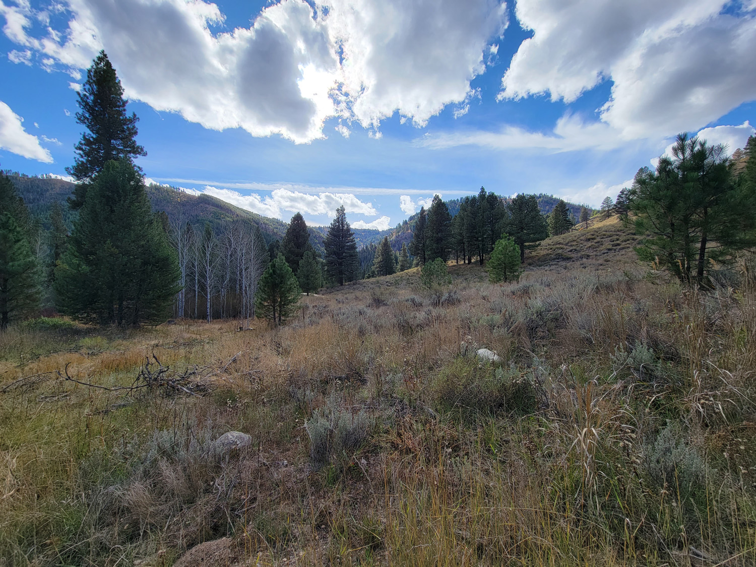
There is ample camping on each of these mining claims, as well as several hot-springs to soak in (around Pine & Featherville), excellent hunting (seen elk multiple times “on” these claims) & fishing, so these have a wide variety of other recreational activities in the area to enjoy. There are services in both Featherville (7 miles west) & Pine (18 to the southwest).
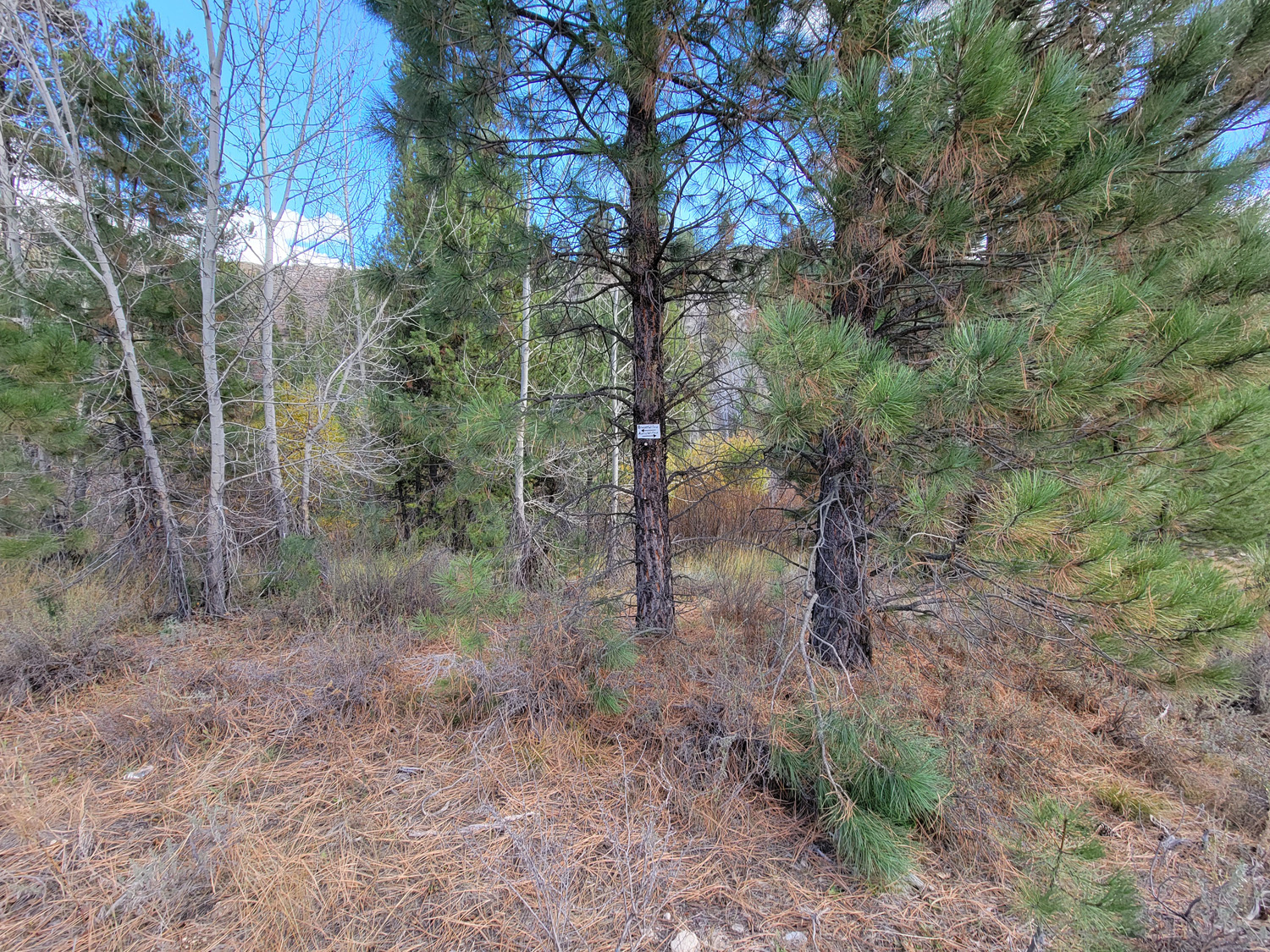
Brazen Willow
Sold
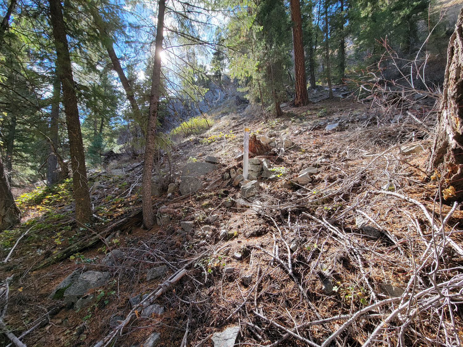
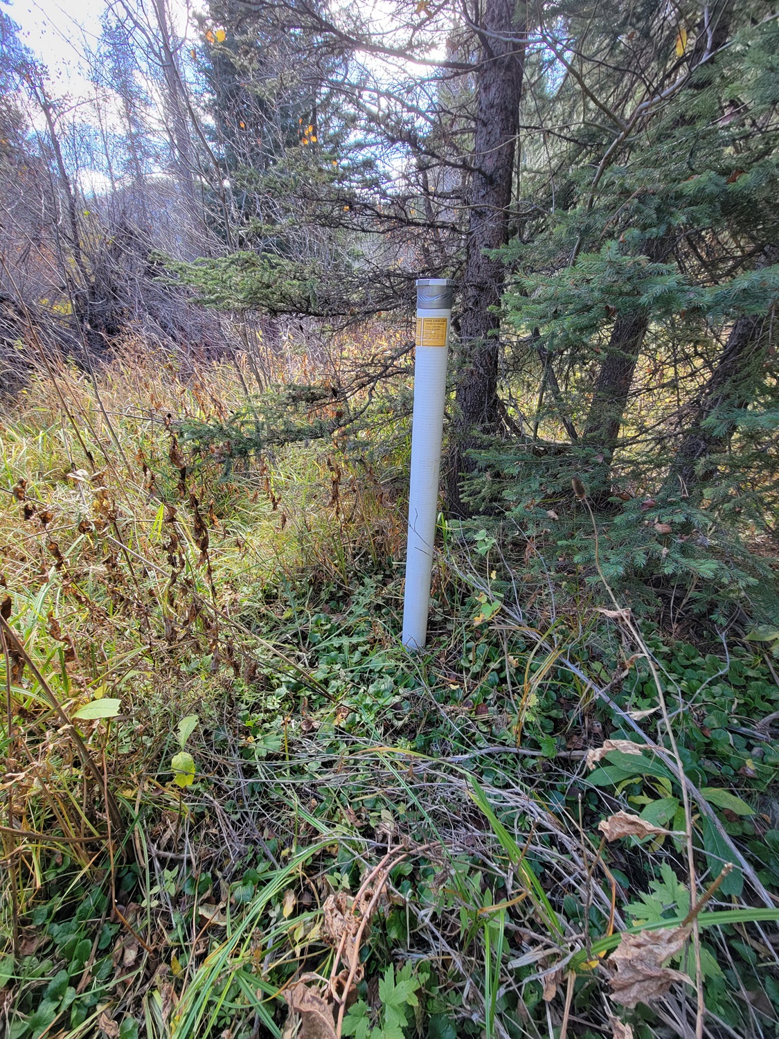
- Acreage: 20 acre unpatented placer claim
- River footage: 1500’ of Willow Creek - 2 camping areas on claim
- Location: Elmore County, Township 3N, Range 11E, Sec. 10, NW ¼
- Mining claim serial #: ID106729719
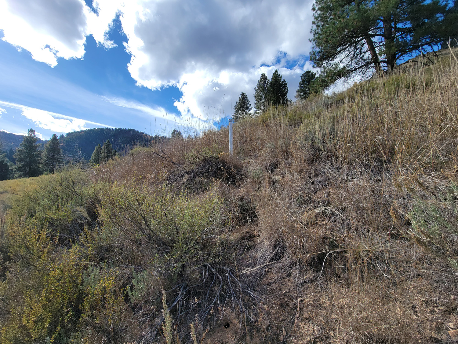
Map to Claim
Coordinates
Marker Degrees, Minutes, Seconds
NW 43°36’53.8200″N, -115°08’25.8000″W
NE 43°36’53.8200″N, -115°08’16.6560″W
SE 43°36’39.2400″N, -115°08’16.6560″W
SW 43°36’39.2400″N, -115°08’25.8000″W
Marker Latitude & Longitude
NW 43.61495’N, -115.14050’W
NE 43.61495’N, -115.13796’W
SE 43.61090’N, -115.13796’W
SW 43.61090’N, -115.14050’W
Aerial & Topo Images
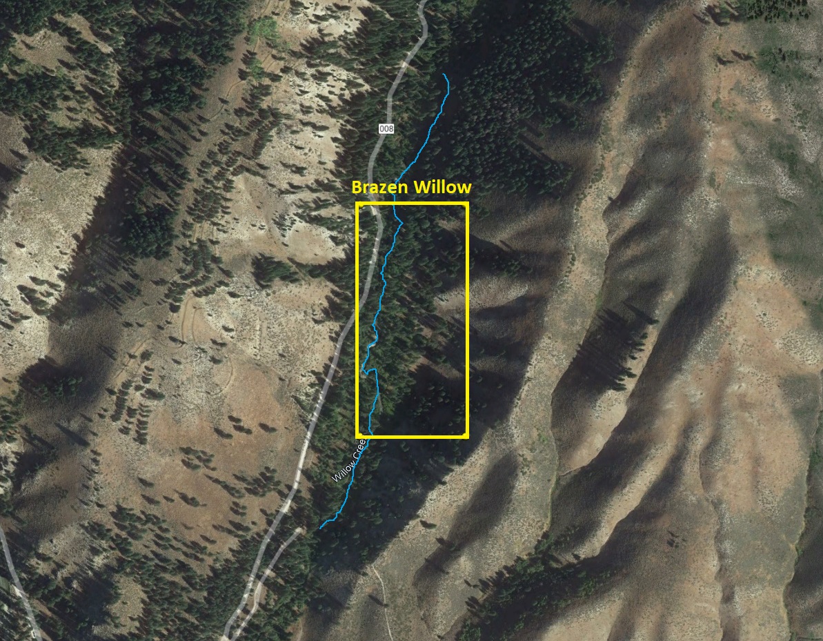
Images
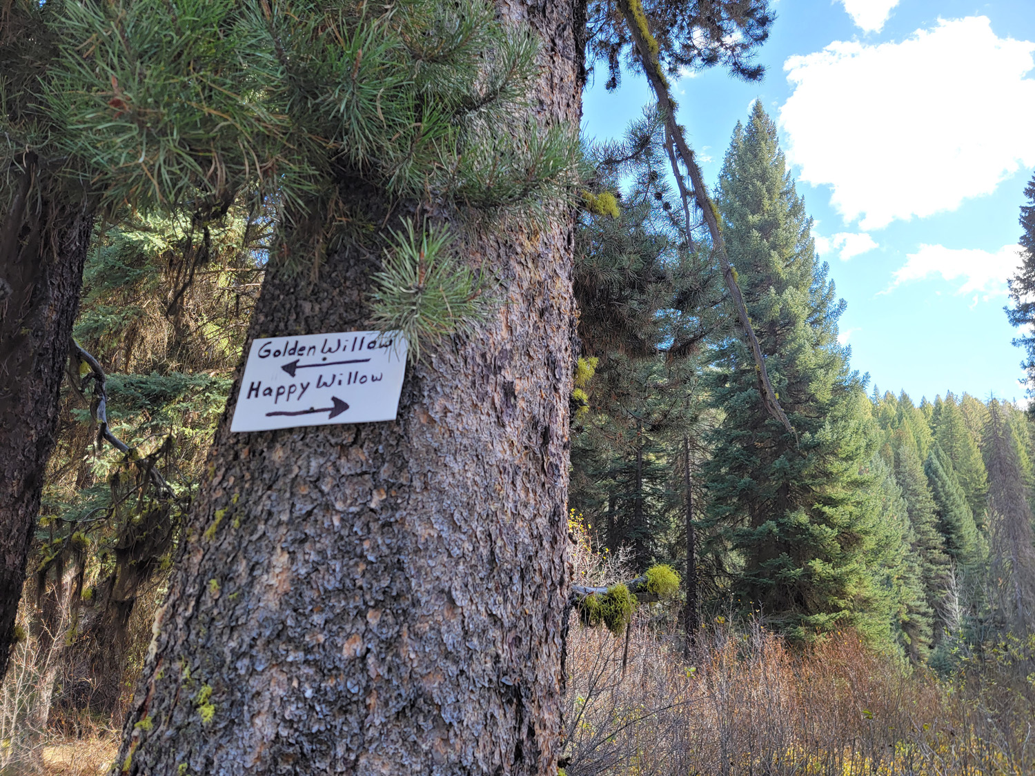
Golden Willow
Sold
- Acreage: 20 acre unpatented placer claim
- River footage: 1200’ of Willow Creek - 3 camping areas on claim
- Location: Elmore County, Township 3N, Range 11E, Sec. 03 SW ¼
- Mining claim serial #: ID106729721
Map to Claim
Coordinates
Marker Degrees, Minutes, Seconds
NW 43°37’18.6960″N, -115°08’16.6560″W
NE 43°37’05.7360″N, -115°08’07.5480″W
SE 43°37’05.7360″N, -115°08’07.5480″W
SW 43°37’05.7360″N, -115°08’16.6560″W
Marker Latitude & Longitude
NW 43.62186’N, -115.13796’W
NE 43.62186’N, -115.13543’W
SE 43.61826’N, -115.13543’W
SW 43.61826’N, -115.13796’W
Aerial & Topo Images

Images


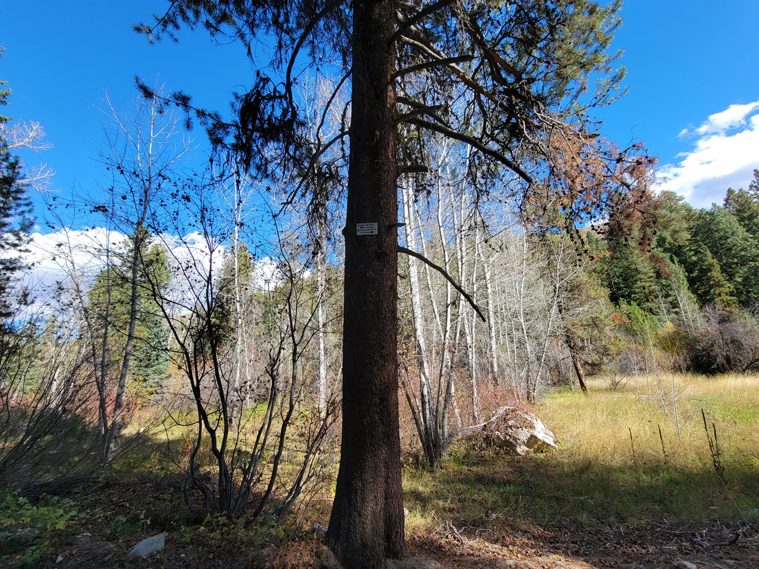
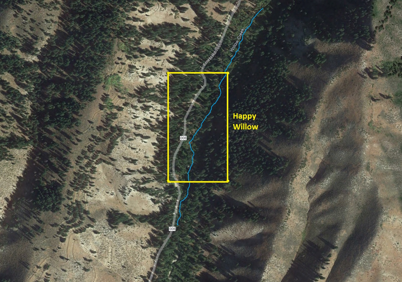
Happy Willow
Sold
- Acreage: 20 acre unpatented placer claim
- River footage: 1350’ of Willow Creek - 1 camping area on claim
- Location: Elmore County, Township 3N, Range 11E, Sec 10 NW¼ & Sec 03 SW¼
- Mining claim serial #: D106729720
Map to Claim
Coordinates
Marker Degrees, Minutes, Seconds
NW 43°37’05.7360″N, -115°08’25.8000″W
NE 43°37’05.7360″N, -115°08’16.6560″W
SE 43°36’53.8200″N, -115°08’16.6560″W
SW 43°36’53.8200″N, -115°08’25.8000″W
Marker Latitude & Longitude
NW 43.61826’N, -115.14050’W
NE 43.61826’N, -115.13796’W
SE 43.61495’N, -115.13796’W
SW 43.61495’N, -115.14050’W
Aerial & Topo Images
Images
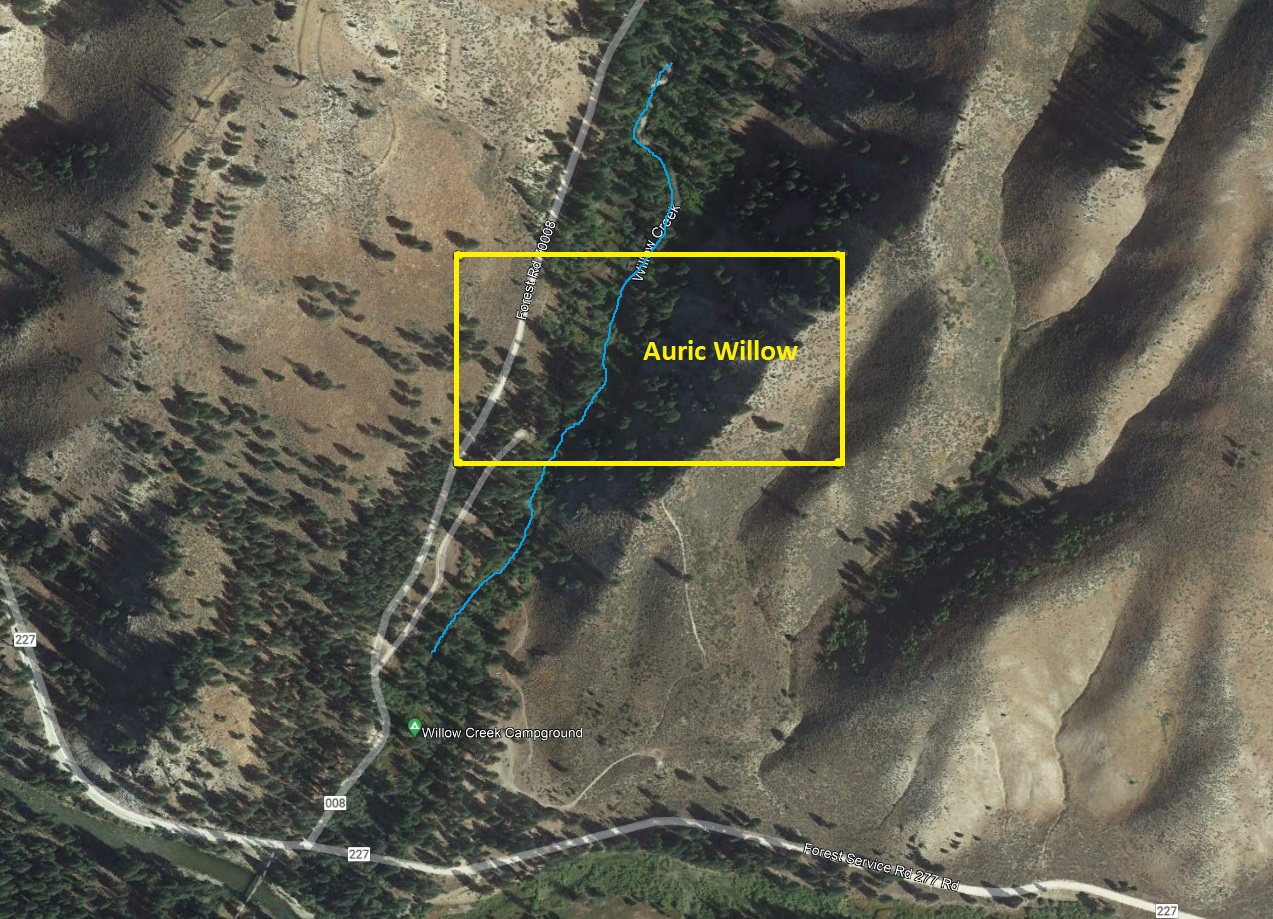
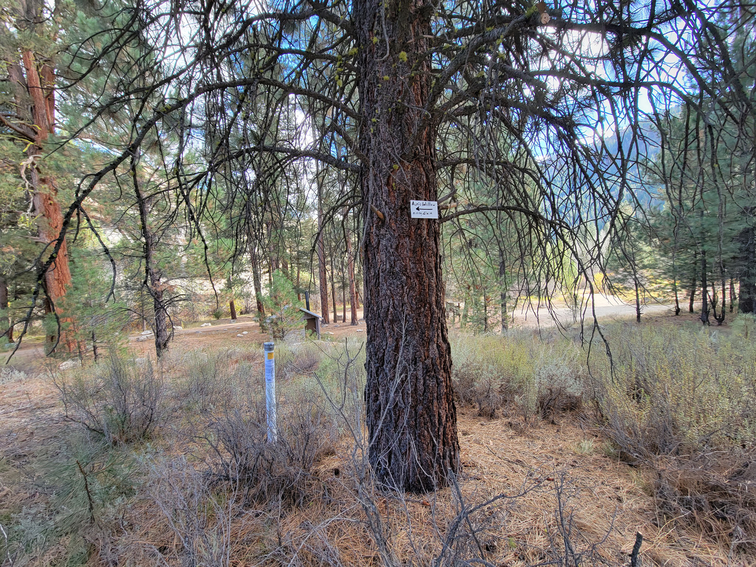
Auric Willow
Sold
- Acreage: 20 acre unpatented placer claim
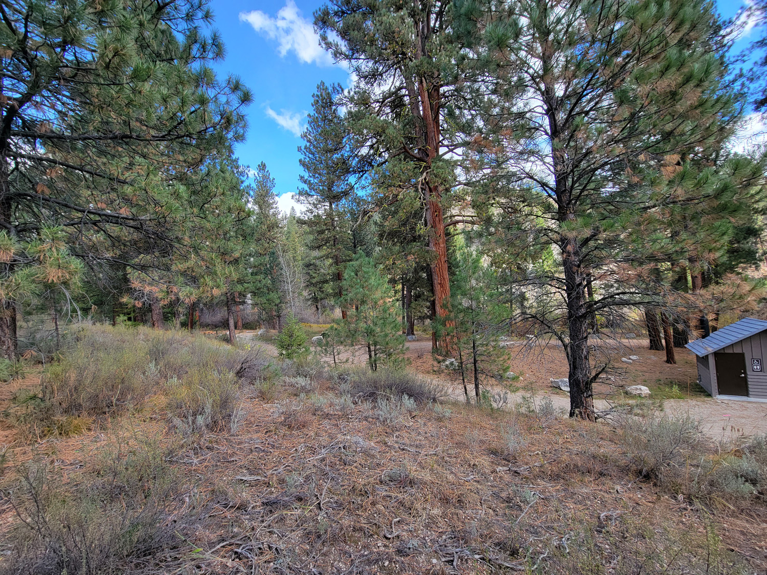
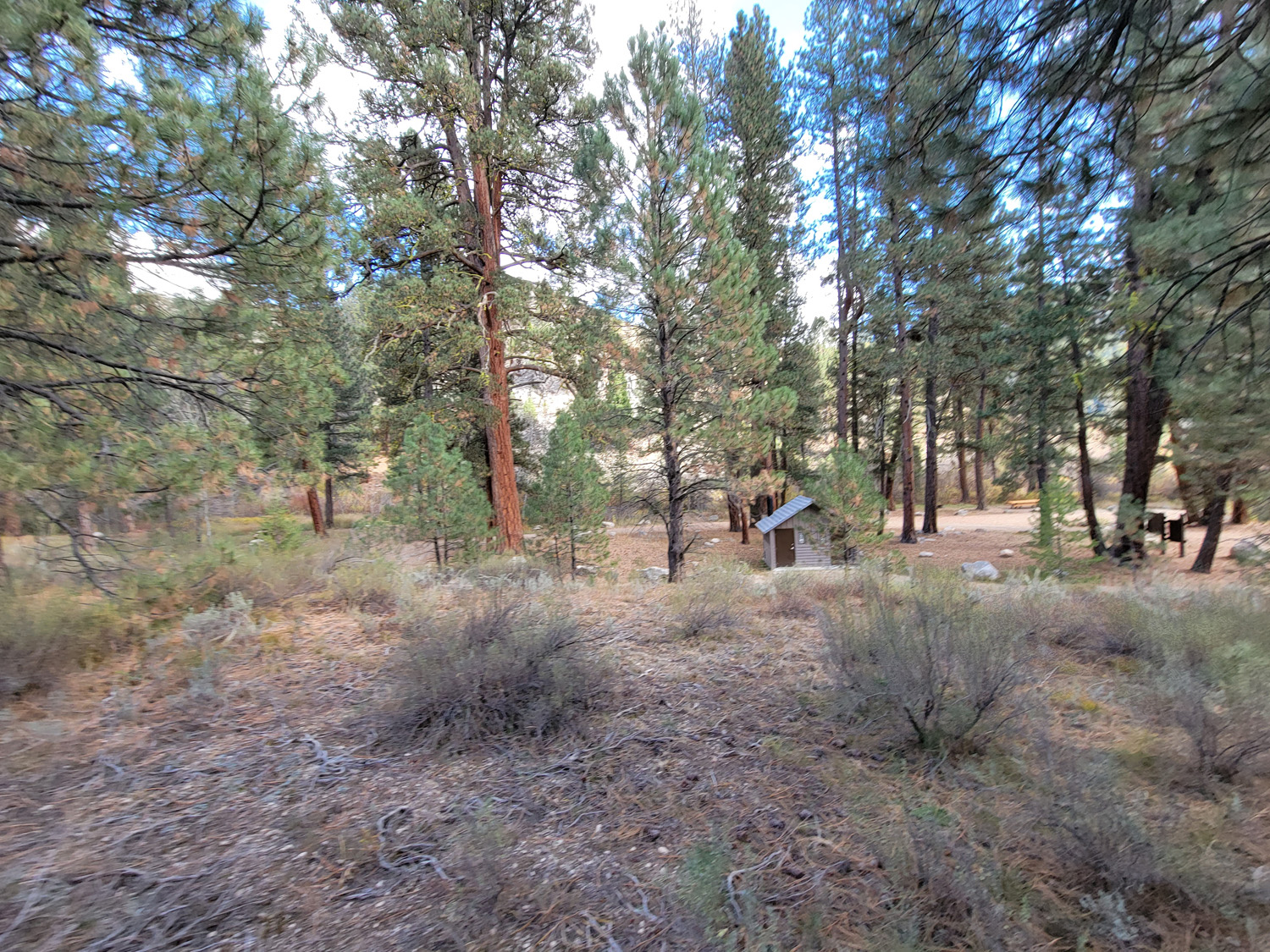
- River footage: 800’ of Willow Creek - 1 camping area on claim & abutting the Willow Creek Campground
- Location: Elmore County, Township 3N, Range 11E, Sec. 10, NW ¼
- Mining claim serial #: ID106321997
Map to Claim
Coordinates
Marker Degrees, Minutes, Seconds
NW 43°36’39.2400″N, -115°08’33.9720″W
NE 43°36’39.2400″N, -115°08’16.6560″W
SE 43°36’32.4000″N, -115°08’16.6560″W
SW 43°36’32.4000″N, -115°08’33.9720″W
Marker Latitude & Longitude
NW 43.61090’N, -115.14277’W
NE 43.61090’N, -115.13796’W
SE 43.60900’N, -115.13796’W
SW 43.60900’N, -115.14277’W
Aerial & Topo Images
Images

Prized Willow
Sold
- Acreage: 20 acre unpatented placer claim
- River footage: 1250’ of Willow Creek - 2 camping areas on claim
- Location: Elmore County, Township 3N, Range 11E, Sec. 03 SW ¼
- Mining claim serial #: ID106322001
Map to Claim
Coordinates
Marker Degrees, Minutes, Seconds
NW 43°37’25.2120″N, -115°08’07.5480″W
NE 43°37’25.2120″N, -115°07’58.4400″W
SE 43°37’12.3240″N, -115°07’58.4400″W
SW 43°37’12.3240″N, -115°08’07.5480″W
Marker Latitude & Longitude
NW 43.62367’N, -115.13543’W
NE 43.62367’N, -115.13290’W
SE 43.62009’N, -115.13290’W
SW 43.62009’N, -115.13543’W
Aerial & Topo Images

Reaping Willow
Sold
- Acreage: 20 acre unpatented placer claim
- River footage: 1400’ of Willow Creek - 4-6 camping areas on claim
- Location: Elmore County, Township 3N, Range 11E, Sec. 03 NW ¼
- Mining claim serial #: ID106322002
Map to Claim
Coordinates
Marker Degrees, Minutes, Seconds
NW 43°37’38.1720″N, -115°08’07.5480″W
NE 43°37’38.1720″N, -115°07’58.4400″W
SE 43°37’25.2120″N, -115°07’58.4400″W
SW 43°37’25.2120″N, -115°08’07.5480″W
Marker Latitude & Longitude
NW 43.62727’N, -115.13543’W
NE 43.62727’N, -115.13290’W
SE 43.62367’N, -115.13290’W
SW 43.62367’N, -115.13543’W
Aerial & Topo Images

Images


Show Me The Gold


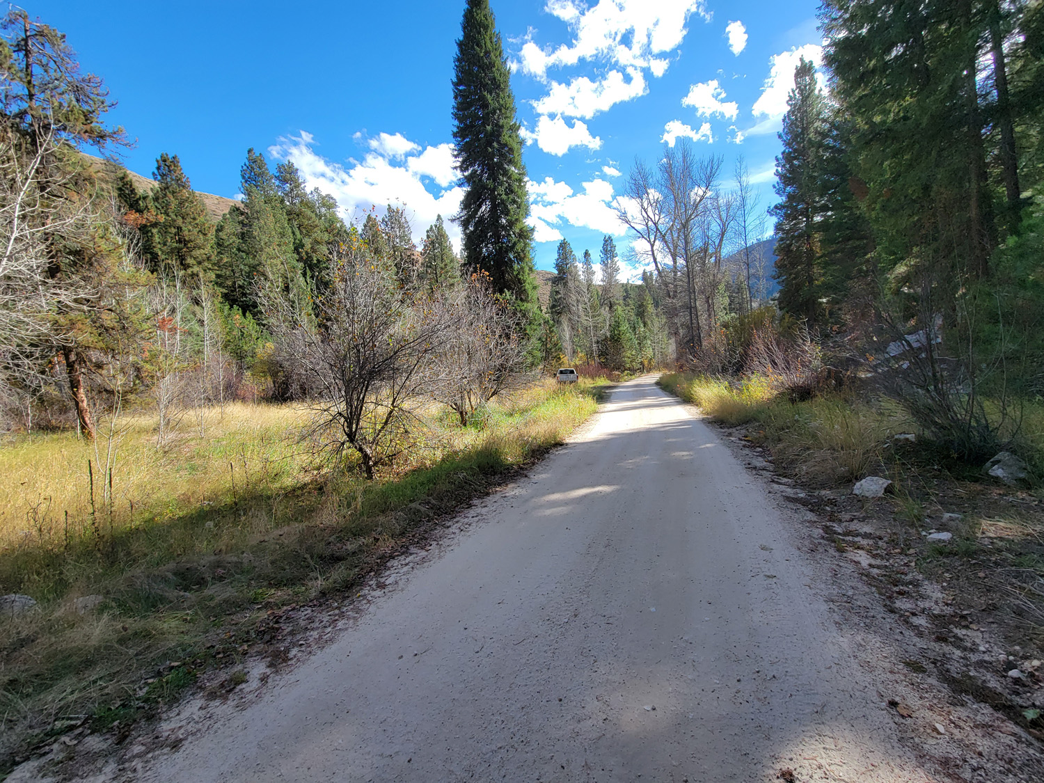
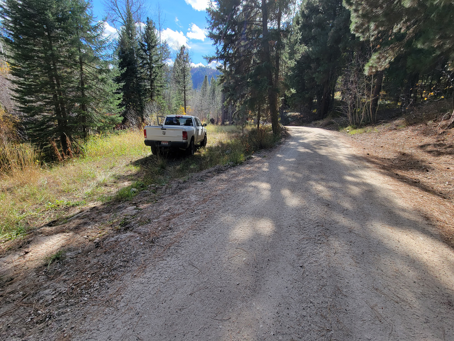
Driving Directions from Mountain Home: Take HWY 20 (from I-84 Exit 95), north out of Mountain Home for 31.5 miles. Turn left (north) onto NF 61 (AKA Pine-Featherville Rd, signs for Anderson Ranch) and stay on this road for 28.6 miles. I will note that in Pine at the T looking intersection (at 18 miles), the main road (without stop sign), veers to the right by the Pine diner…so just stay on the main road. After entering the original older town of Featherville (at approximately 28.7 miles from HWY 20), you will make continue straight on the main FeathervilleRoad (aka NF 227) for an additional 6.8 miles. Turn left (left) onto NF 008, signs for the Willow Creek Campground. You will stay on this road for 0.9 of a mile until reaching the mining claims. The mining claims extend up the road another ¾ of a mile to the large roundabout camping area.
