Wash Fever
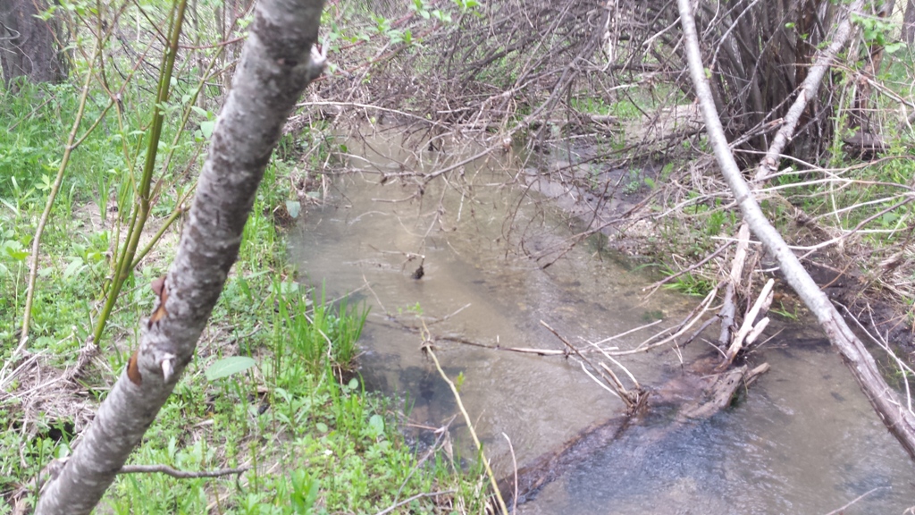
Wash Creek is a unique mining area, accessible in early spring when other areas tend to still be snowed in. Even in heavy snow winters, I have accessed this site as early as April 1st, giving you an area that could be worked early on in the season. With only being a couple minutes out of Garden Valley (about 4 miles), it has close services and great access into the claim. There are existing mining claims that encompass all up & down Wash Creek (abutting this claim to the north and south), and from the pictures illustrated in “Show me the Gold”, it’s easy to understand how rich the prospects and potential is in here.
- Acreage: 20 acres
- River footage: 750 feet of Wash Creek
- Placer/lode: placer
- Location: Boise County, Township 8N, Range 4E, Section 13 NE 1/4
- Mining claim serial #: 217691
Map to Claim
Coordinates
NW 44°02’03.1200″N, -115°55’44.4720″W
NE 44°02’03.1200″N, -115°55’24.2400″W
SE 44°01’56.5680″N, -115°55’24.2400″W
SW 44°01’56.5680″N, -115°55’44.4720″W
NW 44.03420’N, -115.92902’W
NE 44.03420’N, -115.92340’W
SE 44.03238’N, -115.92340’W
SW 44.03238’N, -115.92902’W
Maps


Images


Overview
Driving Directions from Boise: Take HWY 55 (from State Street aka HWY 44), north out of Boise towards McCall. You will stay on HWY 55 for approximately 42 miles, and make a right onto HWY 17 at Banks (heading towards Garden Valley/Lowman). Continue on HWY 17 for approximately 11.5 miles (about a mile past Garden Valley), turning right (south) on the Meadow Creek Rd. (NF615 that heads to Placerville). Stay on this for only a ¼ mile (just past the bridge over the Payette River), and make a left (east) onto South Fork Road and stay on this road for 0.6 miles. You will right (south) onto NF-690, and stay on this road for about 2.5 miles until you reach the mining claim. The claim is marked on the north and south boundaries along the road (on the creek side).