Price: $1,850
AvailableWarren Claims
Overview
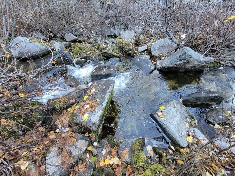
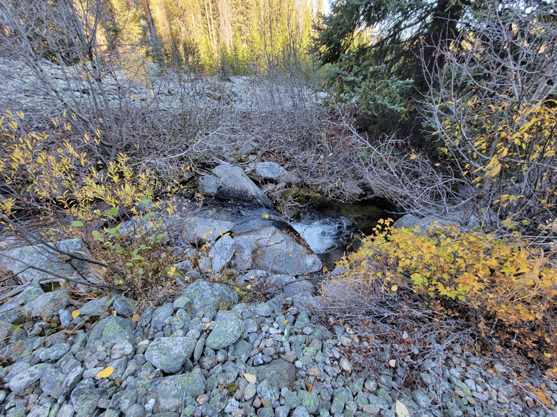
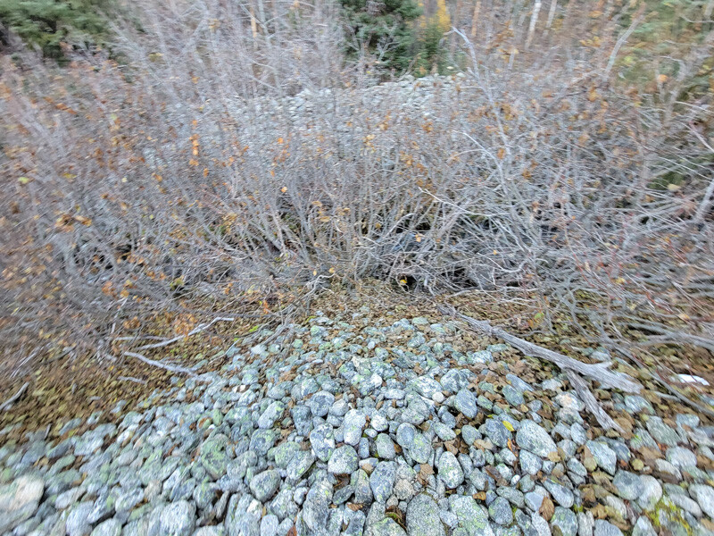
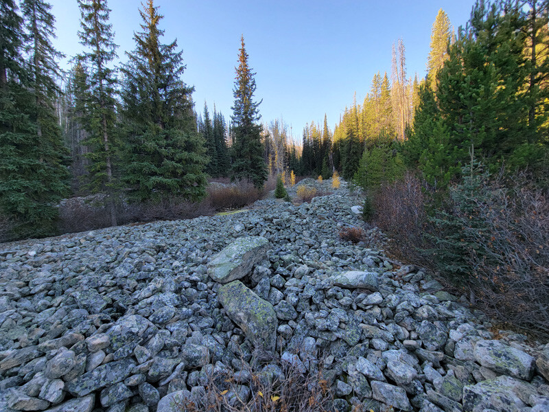
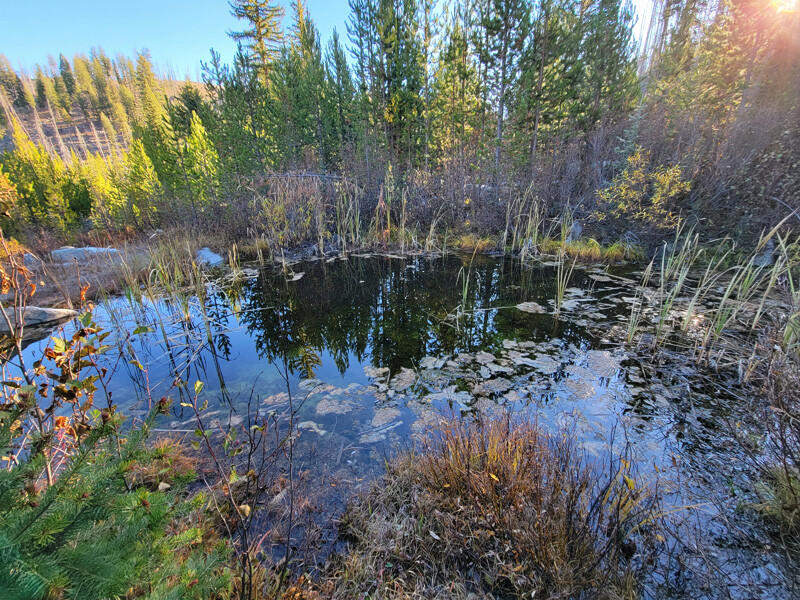
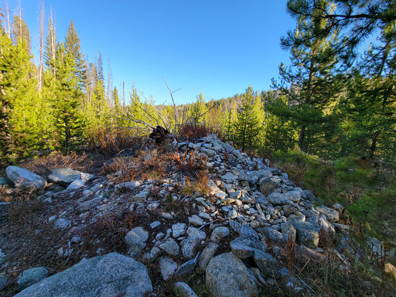
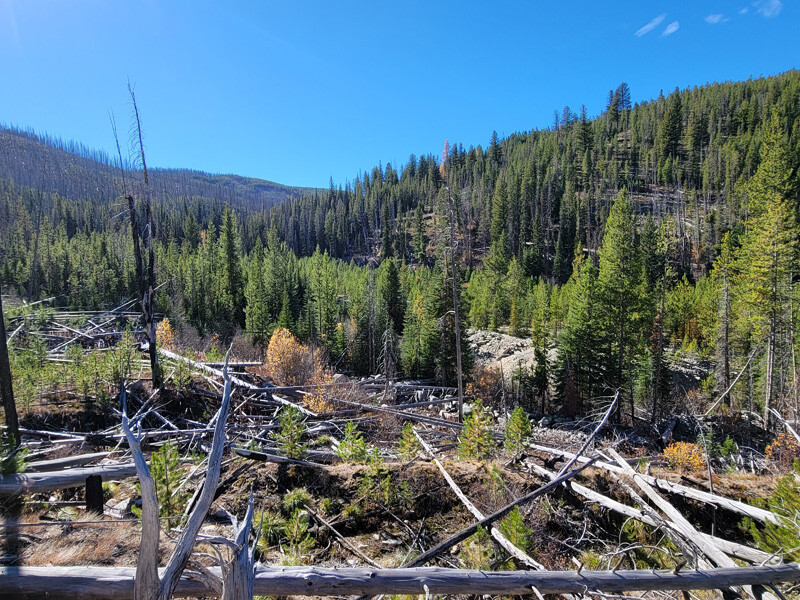
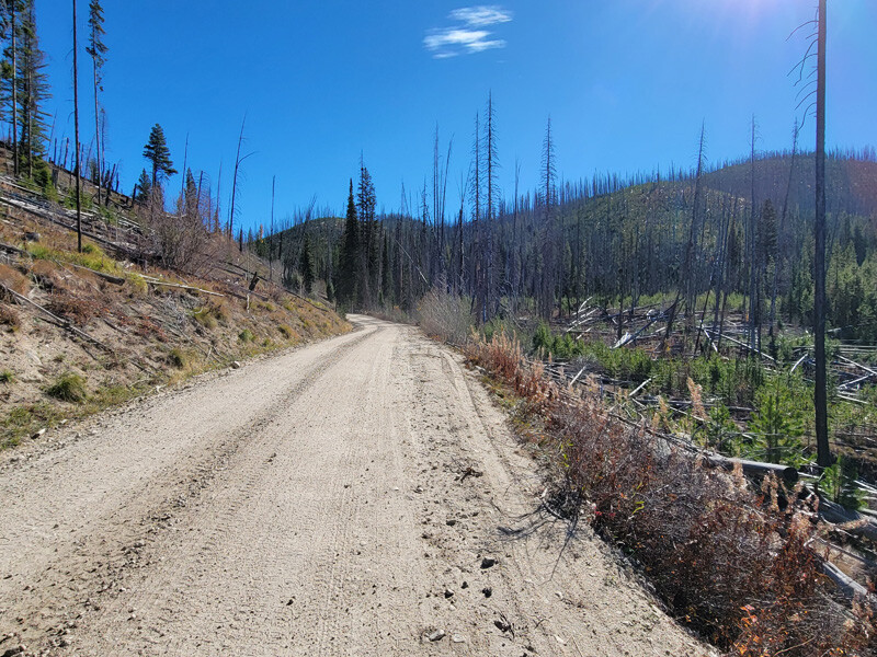
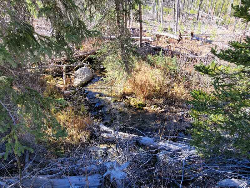
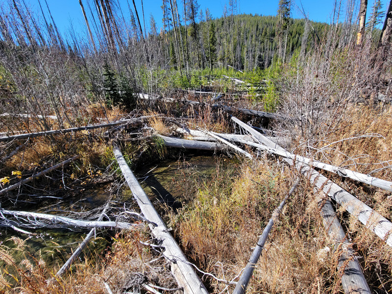
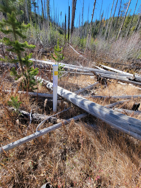
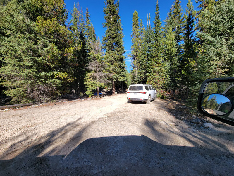
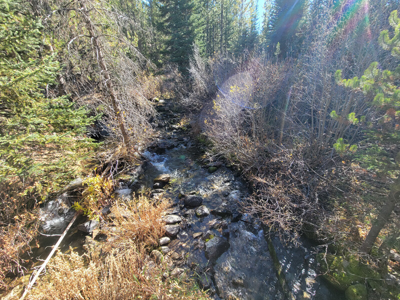
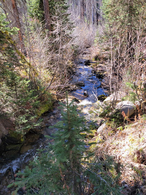
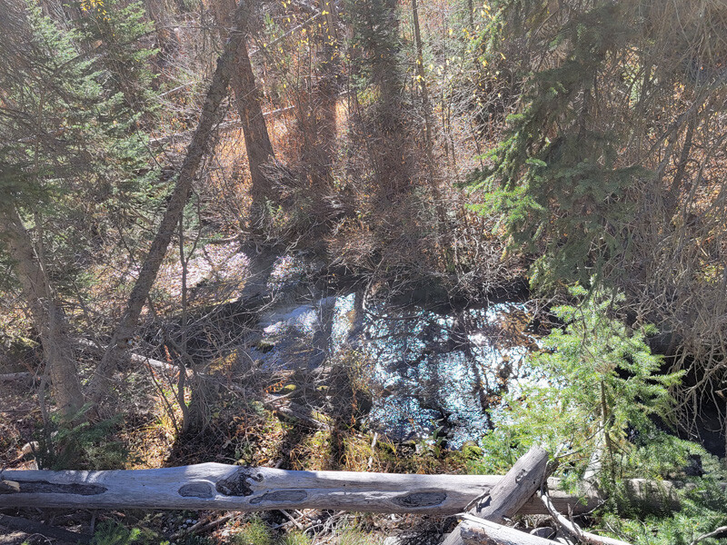
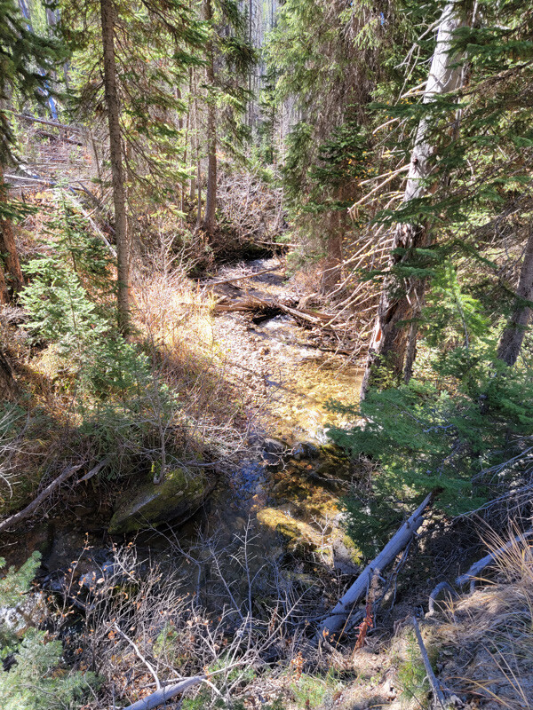
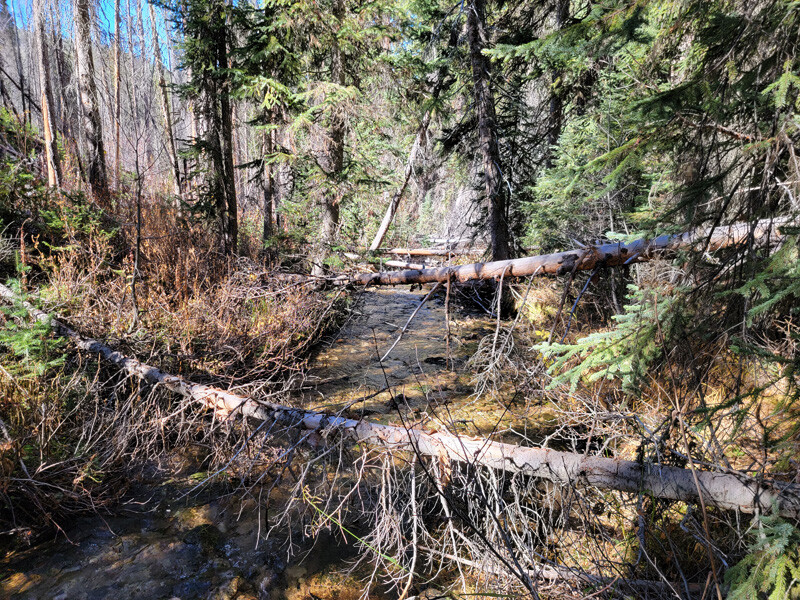
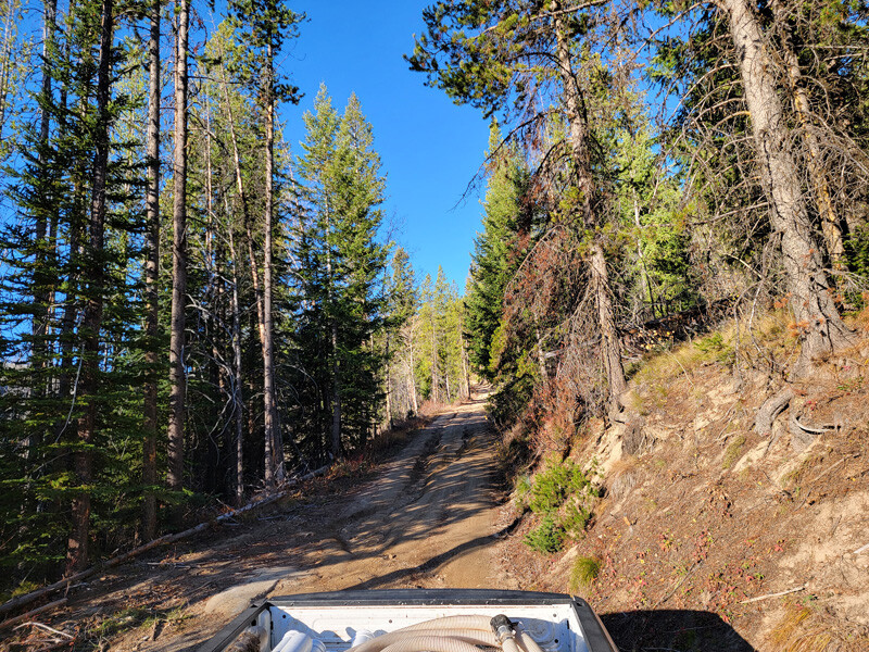
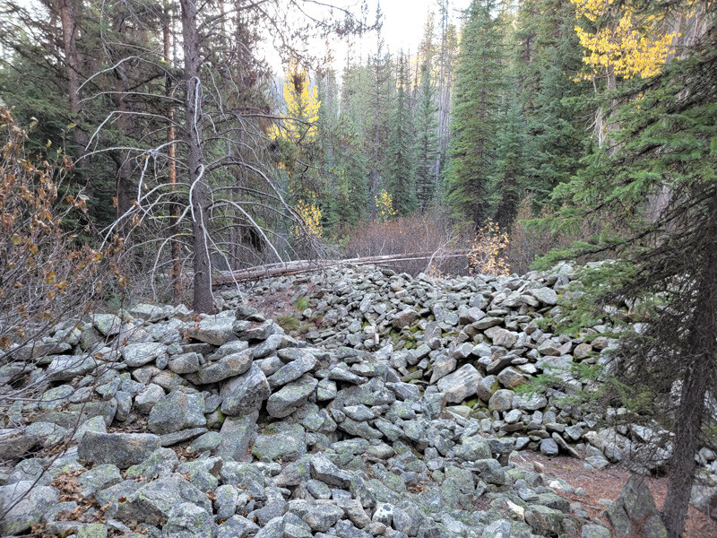
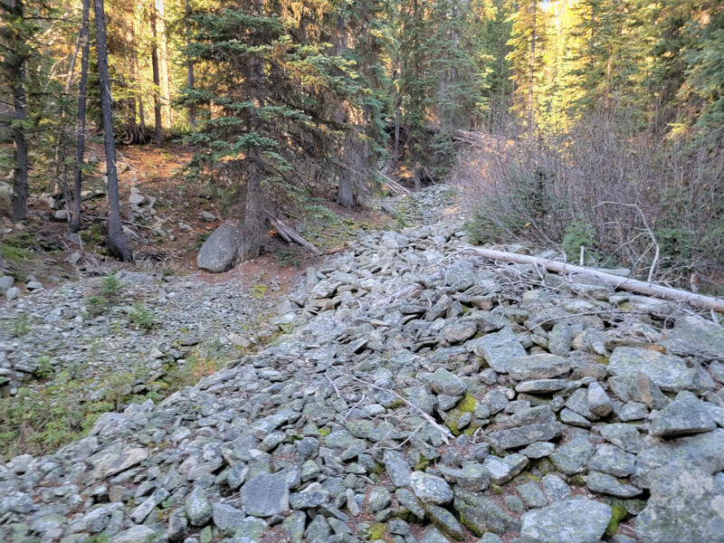
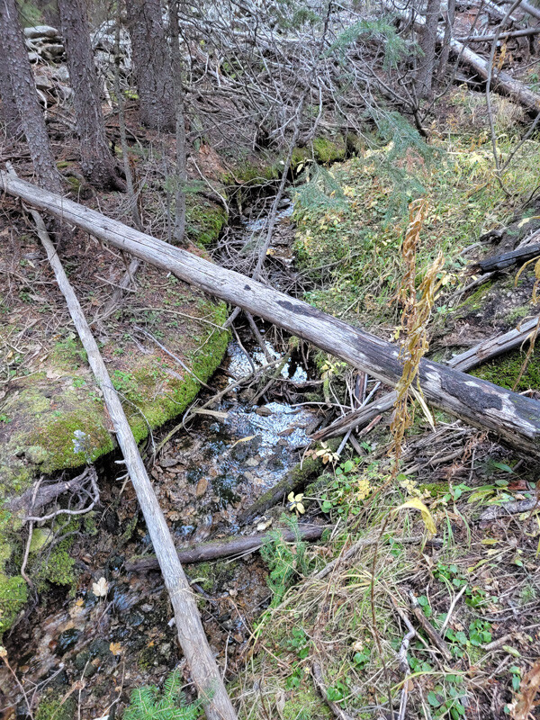
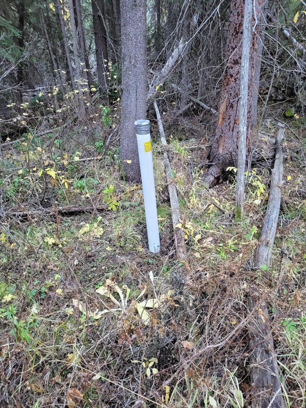
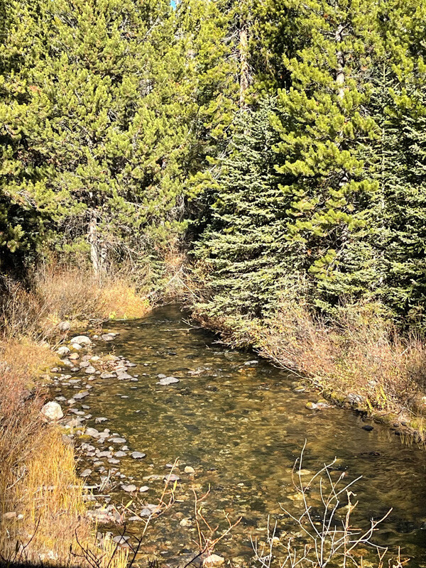
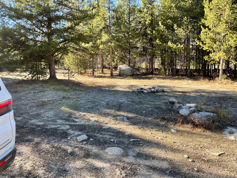
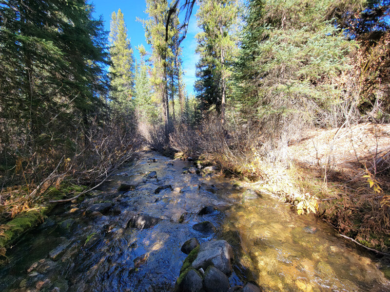
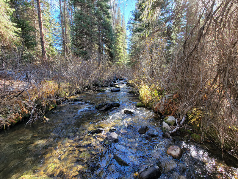
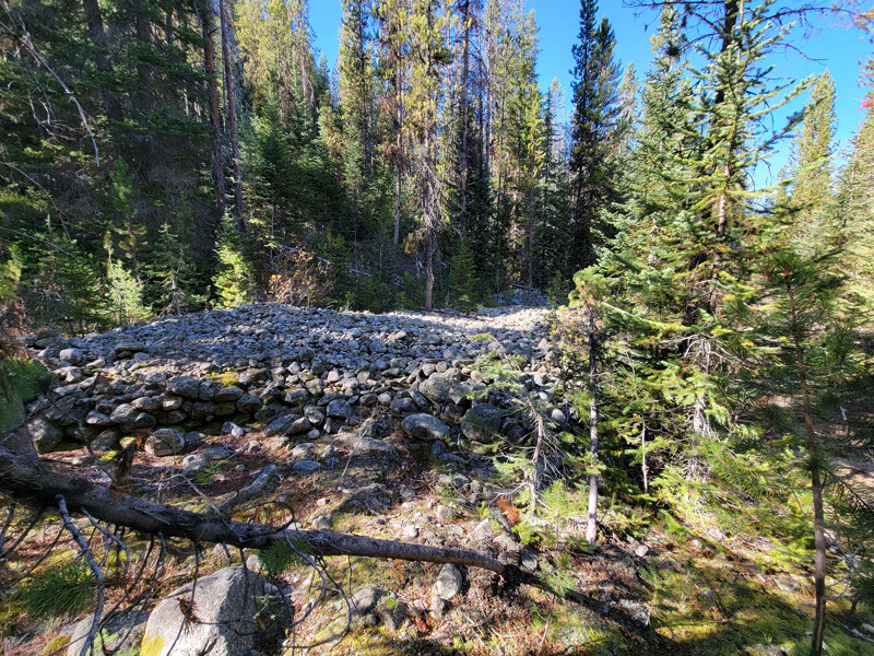
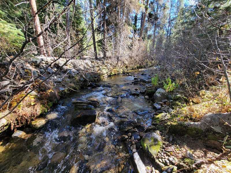
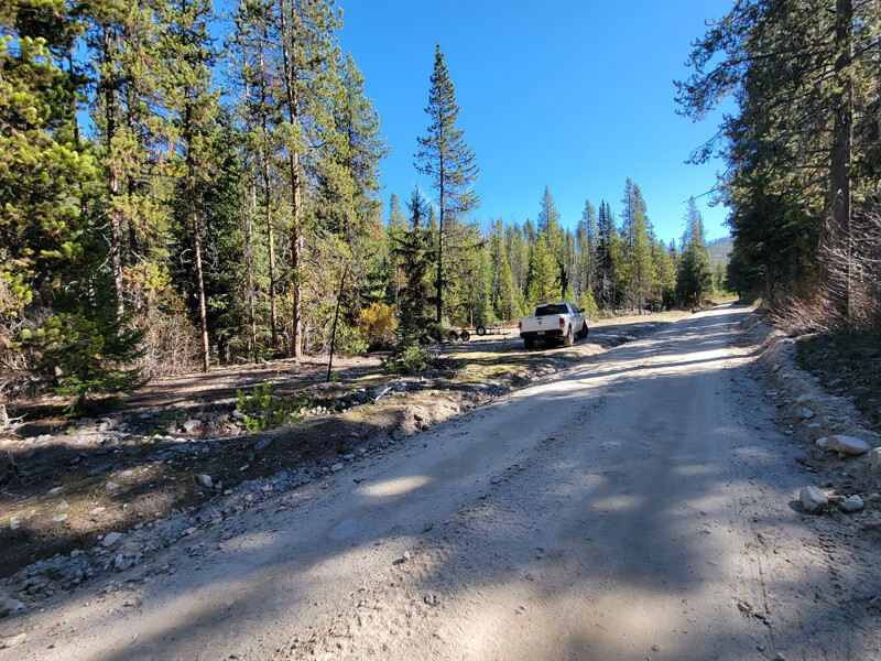
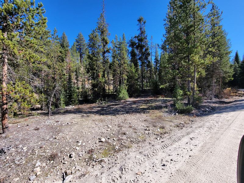
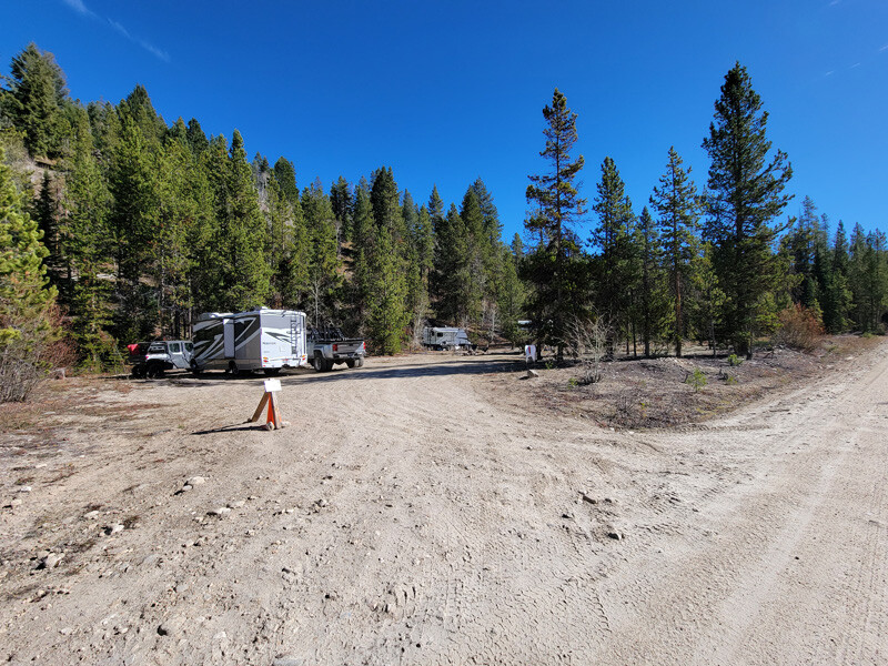
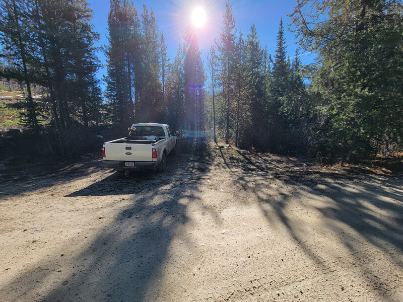
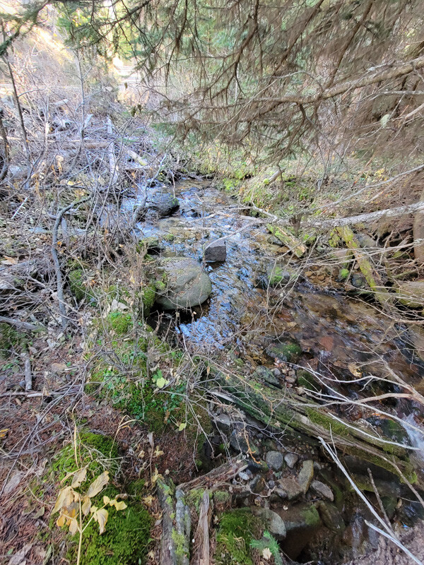
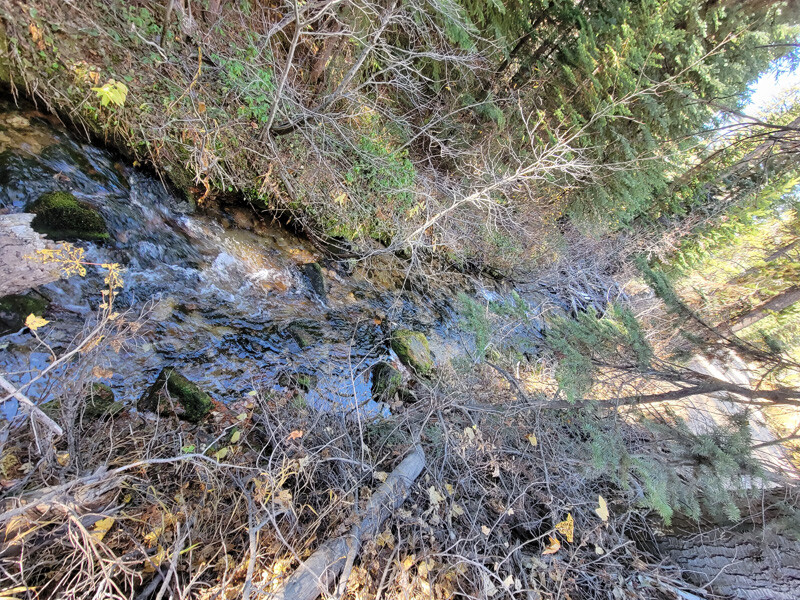
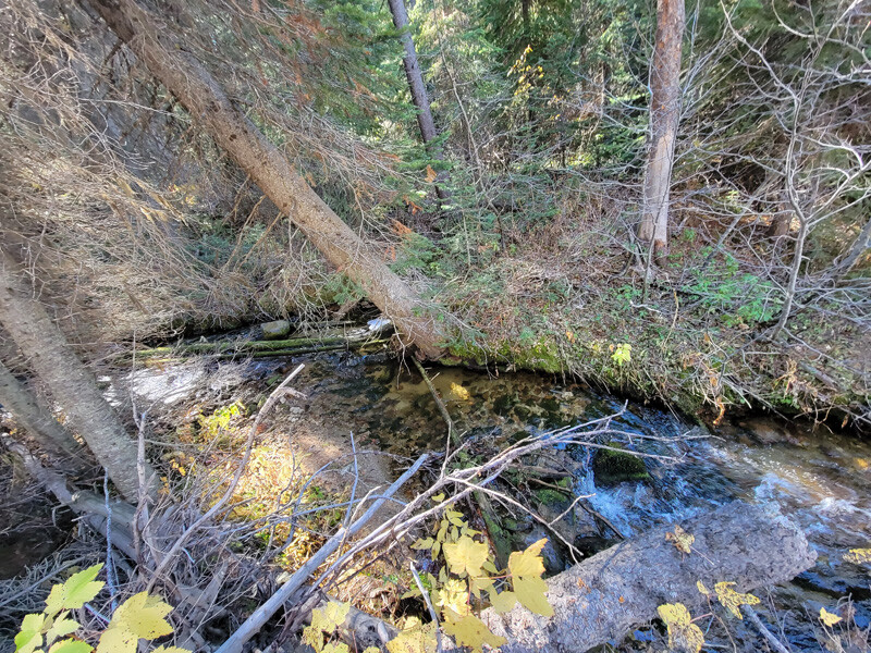
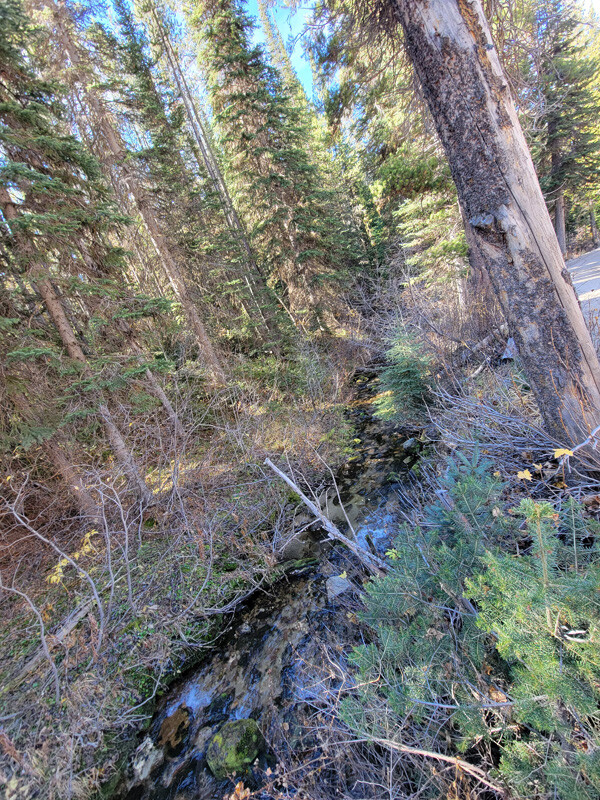
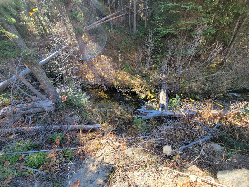
Idaho Gold Mining is proud to be offering up several mining claims within the historic ghost town of Warren, Idaho. With claims located within the Warren mining district “on” the historic Warren Creek and Mayflower Creek drainages, within 2 miles of Warren. If the history of the area wasn’t enough, from just the amazing scenery alone, it is well worth the drive, but then look what simple 3 hour runs from recovering minerals from these mining claims (from the “Show me the Gold” tab below) have to offer. While the main road does travel across these drainages, there are some claims tucked back some off the main road, to give prospectors (looking for these features) that “seclusion” to be working the gold bearing benches and creeks as wanted. There are ample places to park and camp along all of these roads, many with well established camping spots and others with flatter terrain to cut in camping where needed. I would also note the several well known historic hot springs (like Burgdorf), where after a hard days work, a person can soak in around this area, as well as phenomenal hunting and even good trout fishing in the creeks. These claims are also marked along the road showing the boundaries as you are traveling along the roads, to show you where each mining claim starts & ends. These claims are fully ready, with existing road access to and/or across each and every claim to start pulling out some great color, in a historically rich mining district. From experience, I would also professionally note, that Warren, Idaho is well known for having chunkier pickers and nuggets.
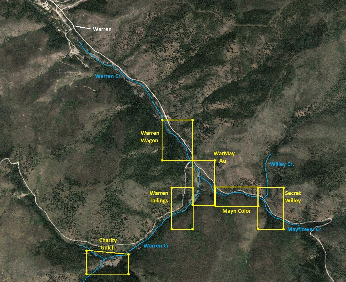
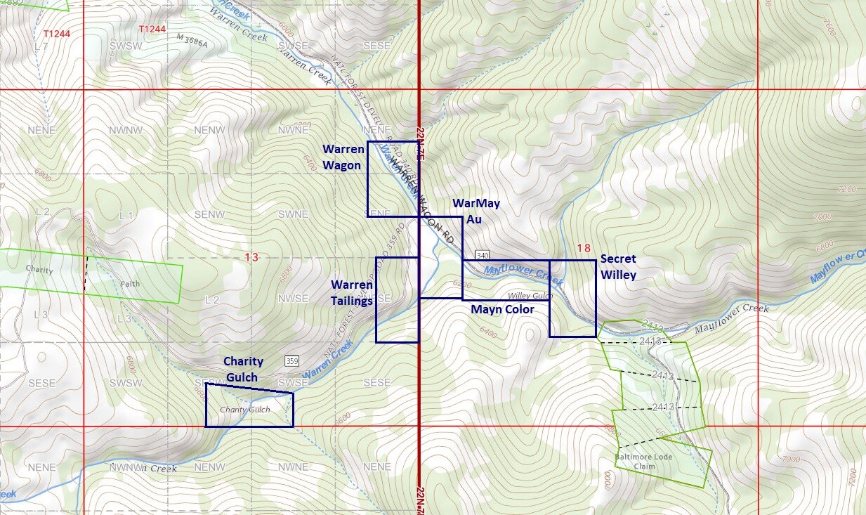
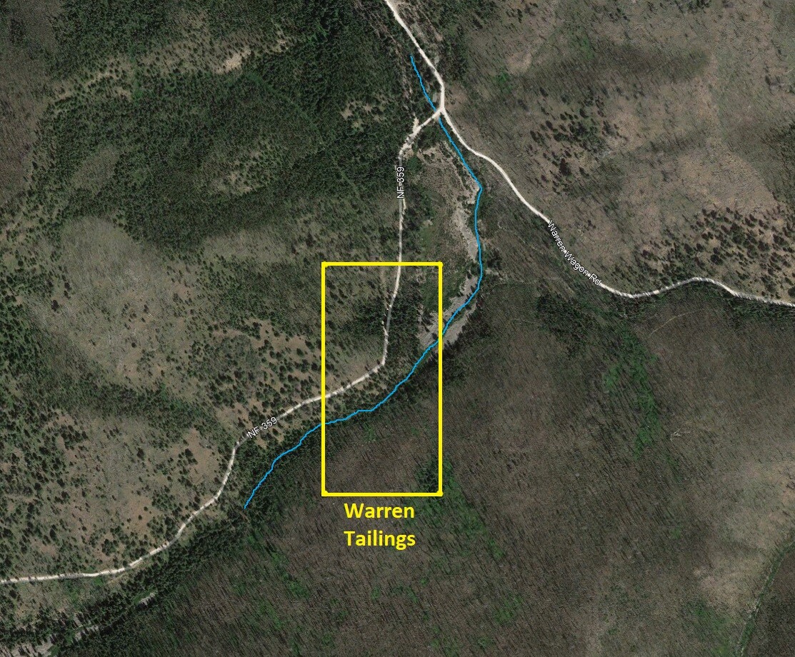
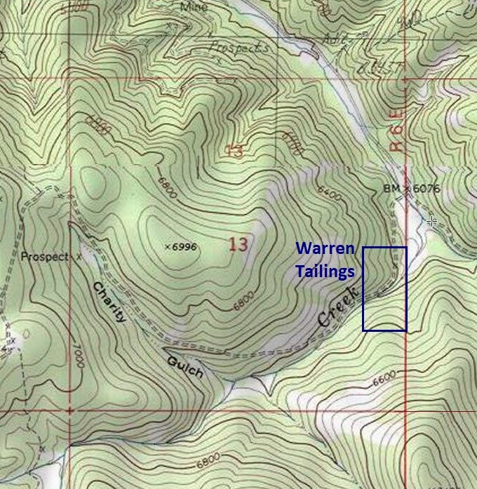
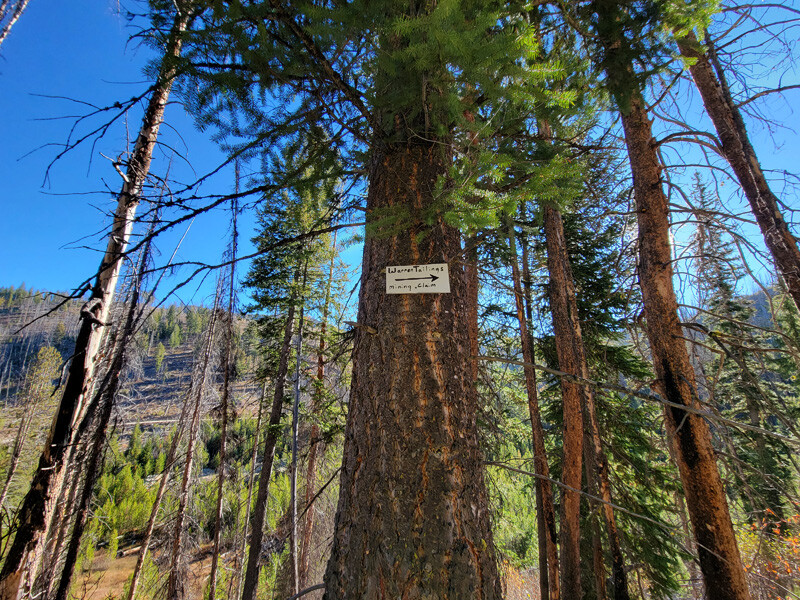
Warren Tailings
Price: $1,850
- Acreage: 20 acre unpatented placer claim
- River footage: 850’ Warren Creek
- Location: Idaho County, Township 22N, Range 6E, Sec. 13, SE ¼
- Mining claim serial #: ID106326618
Map to Claim
Coordinates
Marker Degrees, Minutes, Seconds
NW 45°14’47.4360″N, -115°39’26.3520″W
NE 45°14’47.4360″N, -115°39’17.5680″W
SE 45°14’35.1240″N, -115°39’17.5680″W
SW 45°14’35.1240″N, -115°39’26.3520″W
Marker Latitude/Longitude
NW 45.24651’N, -115.65732’W
NE 45.24651’N, -115.65488’W
SE 45.24309’N, -115.65488’W
SW 45.24309’N, -115.65732’W
*Continue on NF 340 for 1.7 miles, turn right onto NF 359 (at junction), continue for another 0.2 mile to claim (claim extends 900’ further up NF 349).
Aerial & Topo Images
Images
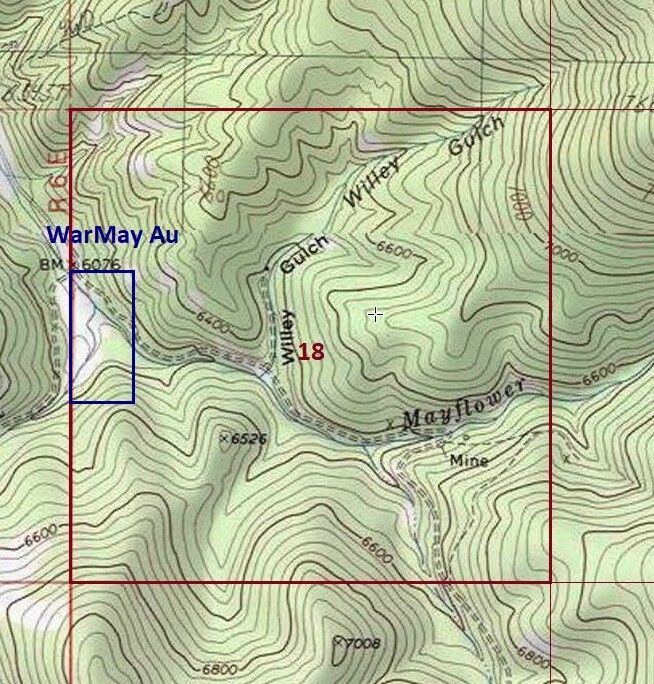
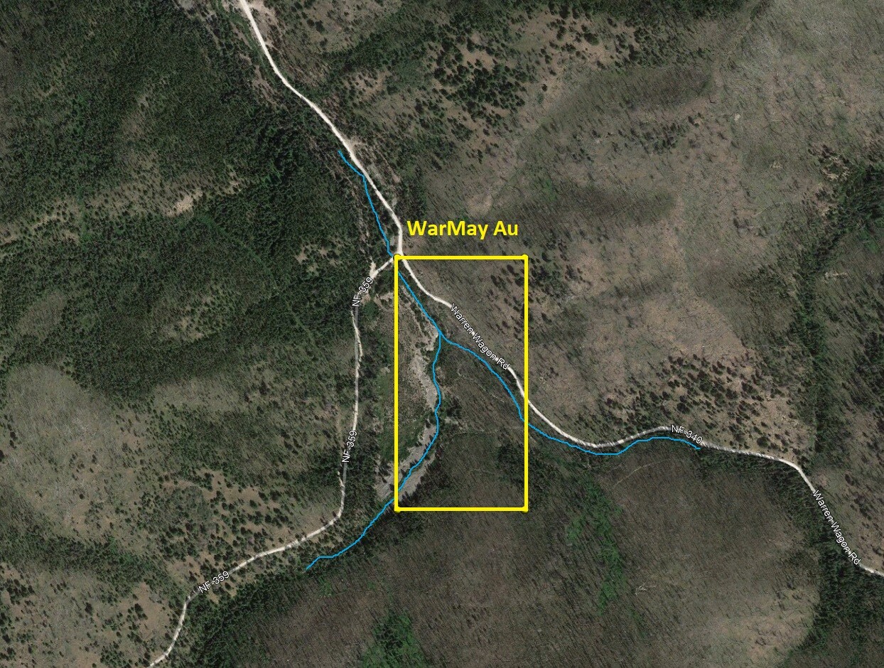
Warmay AU
Sold
- Acreage: 20 acre unpatented placer claim
- River footage: 1500’ Warren Creek & 600’ of Mayflower Creek - Large camping abutting claim
- Location: Idaho County, Township 22N, Range 7E, Sec. 18, NW & SW ¼s
- Mining claim serial #: ID106326619
Map to Claim
Coordinates
Marker Degrees, Minutes, Seconds
NW 45°14’55.5720″N, -115°39’17.5680″W
NE 45°14’55.5720″N, -115°39’08.1360″W
SE 45°14’42.4320″N, -115°39’08.1360″W
SW 45°14’42.4320″N, -115°39’17.5680″W
Marker Latitude/Longitude
NW 45.24877’N, -115.65488’W
NE 45.24877’N, -115.65226’W
SE 45.24512’N, -115.65226’W
SW 45.24512’N, -115.65488’W
*Continue on NF 340 for 1.7 miles to claim (when you reach the junction of NF 359, you are at the claim & claim extends 1000’ further up NF 340).
Aerial & Topo Images
Images
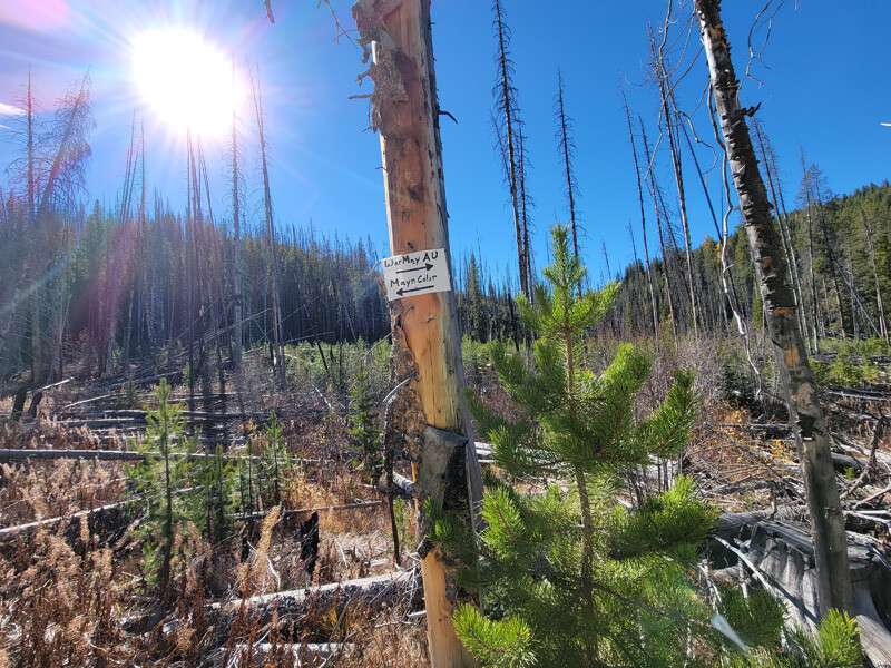
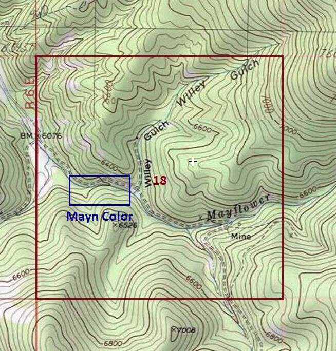
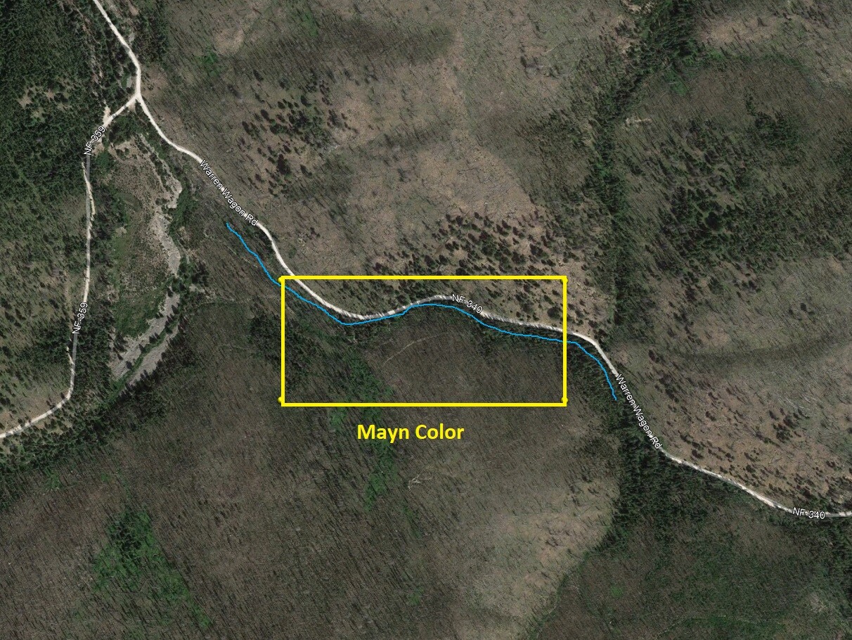
Mayn Color
Sold
- Acreage: 20 acre unpatented placer claim
- River footage: 1350’ Mayflower Creek
- Location: Idaho County, Township 22N, Range 7E, Sec. 18, SW ¼
- Mining claim serial #: ID10632662
Map to Claim
Coordinates
Marker Degrees, Minutes, Seconds
NW 45°14’47.4360″N, -115°39’08.1360″W
NE 45°14’47.4360″N, -115°38’49.8480″W
SE 45°14’42.0000″N, -115°38’49.8480″W
SW 45°14’42.0000″N, -115°39’08.1360″W
Marker Latitude/Longitude
NW 45.24651’N, -115.65226’W
NE 45.24651’N, -115.64718’W
SE 45.24500’N, -115.64718’W
SW 45.24500’N, -115.65226’W
*Continue on NF 340 for 1.8 miles to claim (1000’ past NF 359 junction, & extends ¼ mile further up NF 340)
Aerial & Topo Images
Images

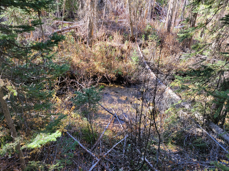

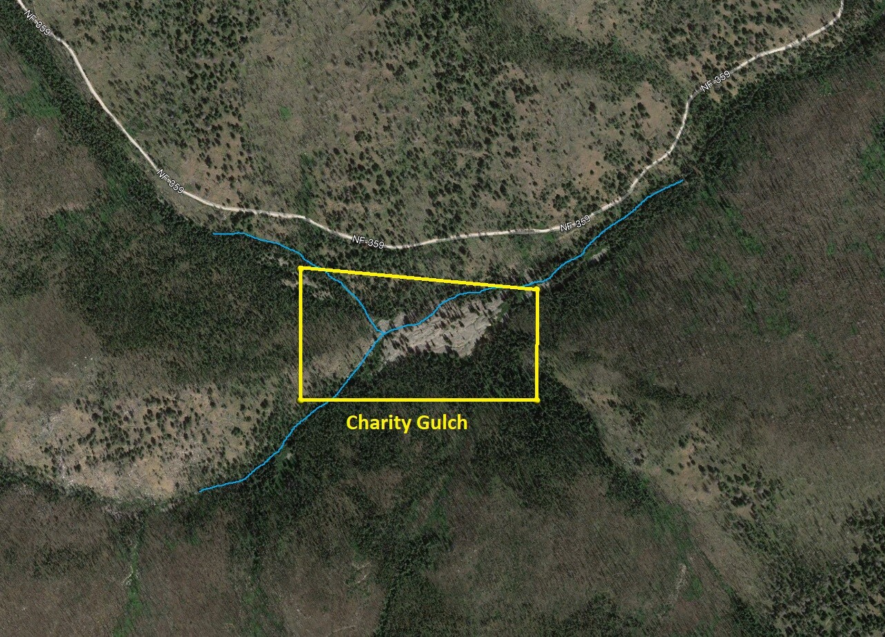
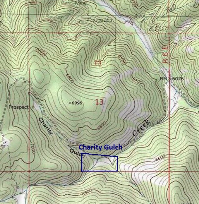
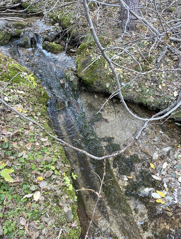
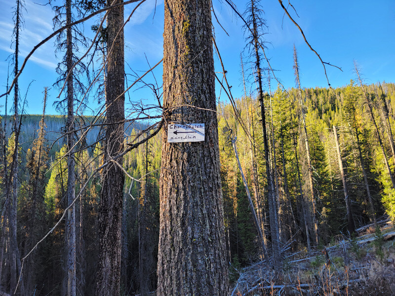
Charity Gulch
Sold
- Acreage: 17.93 acre unpatented placer claim
- River footage: 1550’ Warren Creek
- Location: Idaho County, Township 22N, Range 6E, Sec. 13, SE & SW ¼s
- Mining claim serial #: ID106326622
Map to Claim
Coordinates
Marker Degrees, Minutes, Seconds
NW 45°14’28.7160″N, -115°40’02.3520″W
NE 45°14’27.6360″N, -115°39’44.6040″W
SE 45°14’21.7680″N, -115°39’44.6040″W
SW 45°14’21.7680″N, -115°40’02.3520″W
Marker Latitude/Longitude
NW 45.24131’N, -115.66732’W
NE 45.24101’N, -115.66239’W
SE 45.23938’N, -115.66239’W
SW 45.23938’N, -115.66732’W
*Continue on NF 340 for 1.7 miles, turn right onto NF 359 (at junction), continue for another 0.7 mile to claim (claim extends ¼ mile further up NF 349).
Aerial & Topo Images
Images
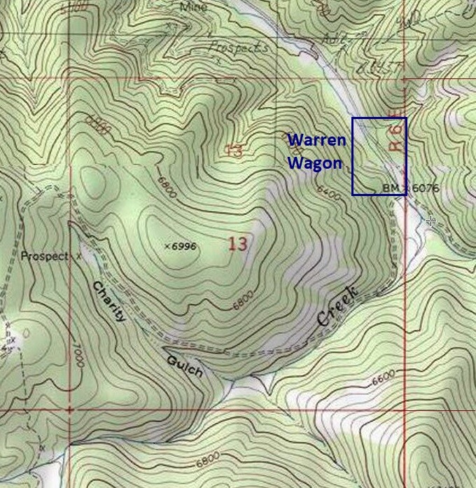
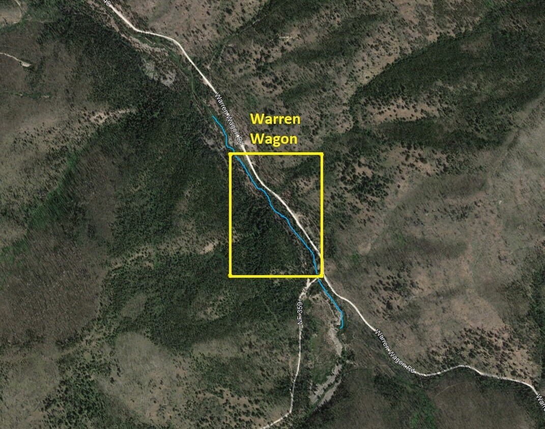
Warren Wagon
Sold
- Acreage: 20 acre unpatented placer claim
- River footage: 1600’ Warren Creek - Large camping areas on claim
- Location: Idaho County, Township 22N, Range 6E, Sec. 13, NE ¼
- Mining claim serial #: ID106326617
Map to Claim
Coordinates
Marker Degrees, Minutes, Seconds
NW 45°15’07.5600″N, -115°39’30.3840″W
NE 45°15’07.5600″N, -115°39’17.5680″W
SE 45°14’55.5720″N, -115°39’17.5680″W
SW 45°14’55.5720″N, -115°39’30.3840″W
Marker Latitude/Longitude
NW 45.25210’N, -115.65844’W
NE 45.25210’N, -115.65488’W
SE 45.24877’N, -115.65488’W
SW 45.24877’N, -115.65844’W
*Continue on NF 340 for 1.4 miles to claim.
Aerial & Topo Images
Images
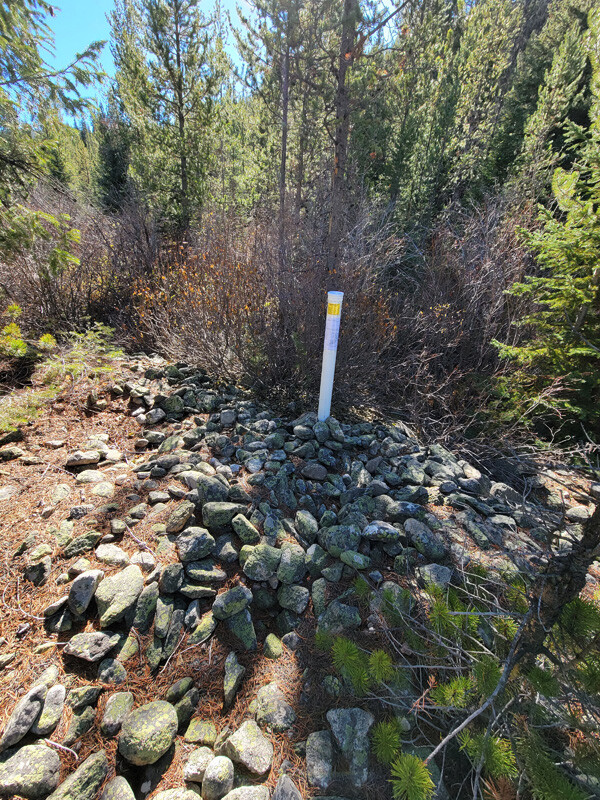

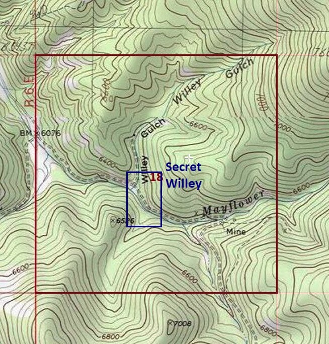
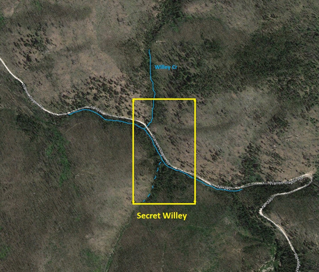
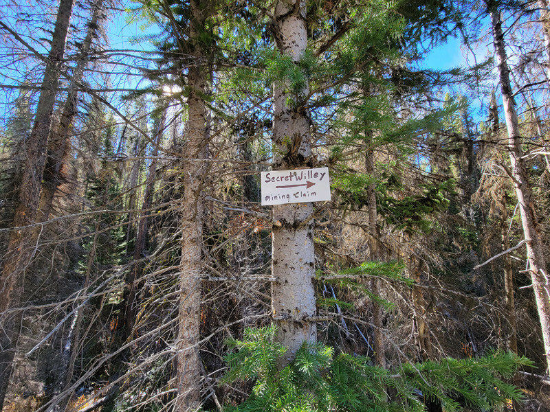
Secret Willey
Sold
- Acreage: 20 acre unpatented placer claim
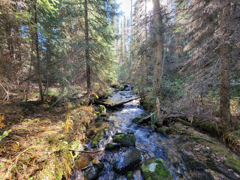
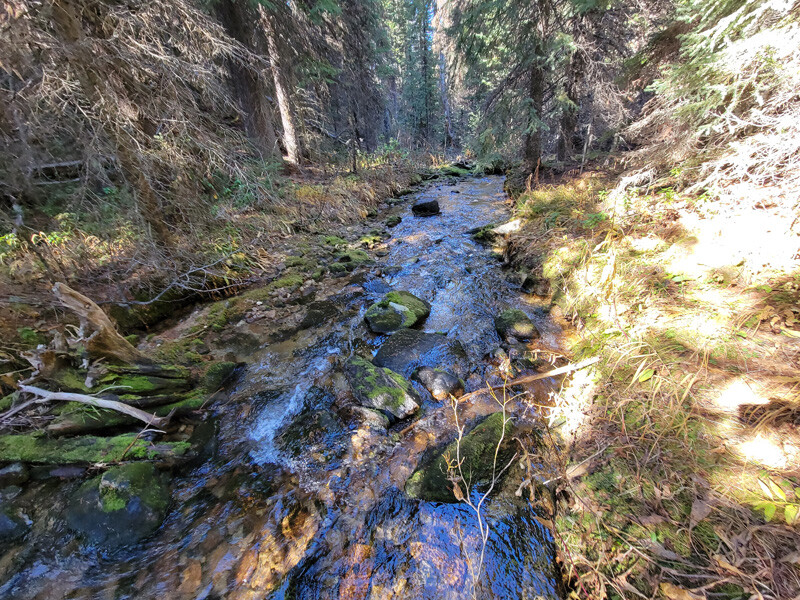
- River footage: 1000’ Mayflower Creek & 400’ of gold bearing Willey Creek - pullout area on claim
- Location: Idaho County, Township 22N, Range 7E, Sec. 18, SW ¼
- Mining claim serial #: ID106326621
Map to Claim
Coordinates
Marker Degrees, Minutes, Seconds
NW 45°14’47.4360″N, -115°38’49.8480″W
NE 45°14’47.4360″N, -115°38’39.1560″W
SE 45°14’35.1240″N, -115°38’39.1560″W
SW 45°14’35.1240″N, -115°38’49.8480″W
Marker Latitude/Longitude
NW 45.24651’N, -115.64718’W
NE 45.24651’N, -115.64421’W
SE 45.24309’N, -115.64421’W
SW 45.24309’N, -115.64718’W
*Continue on NF 340 for 2.1 miles to claim (0.4 mile past NF 359 junction, & extends 1000’ further up NF 340).
Aerial & Topo Images
Images
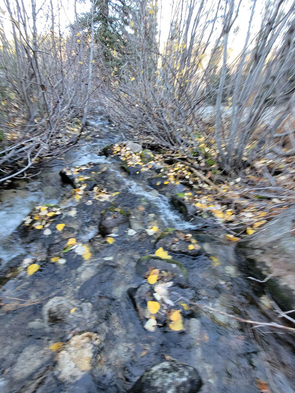
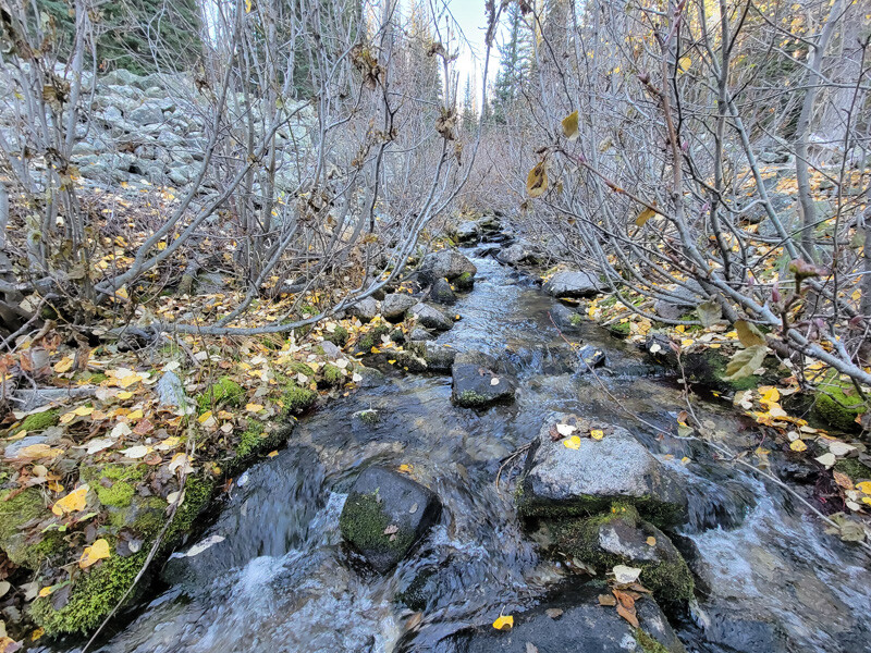
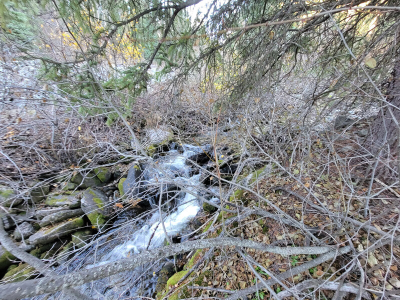
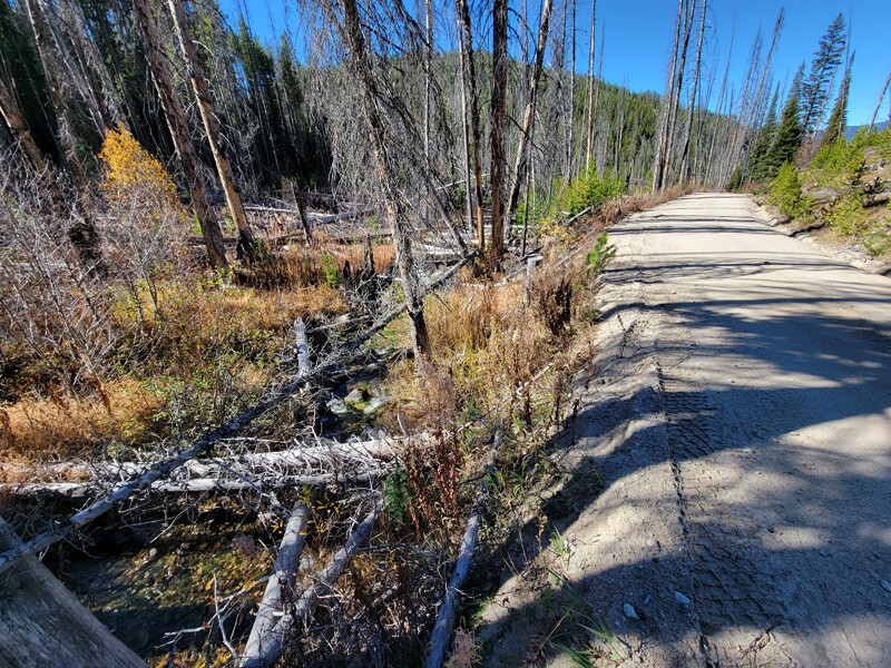
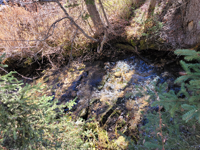
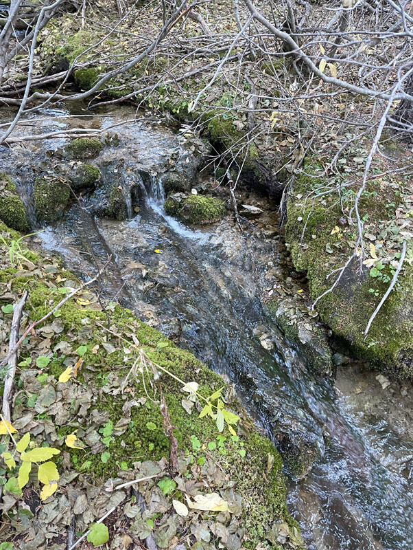
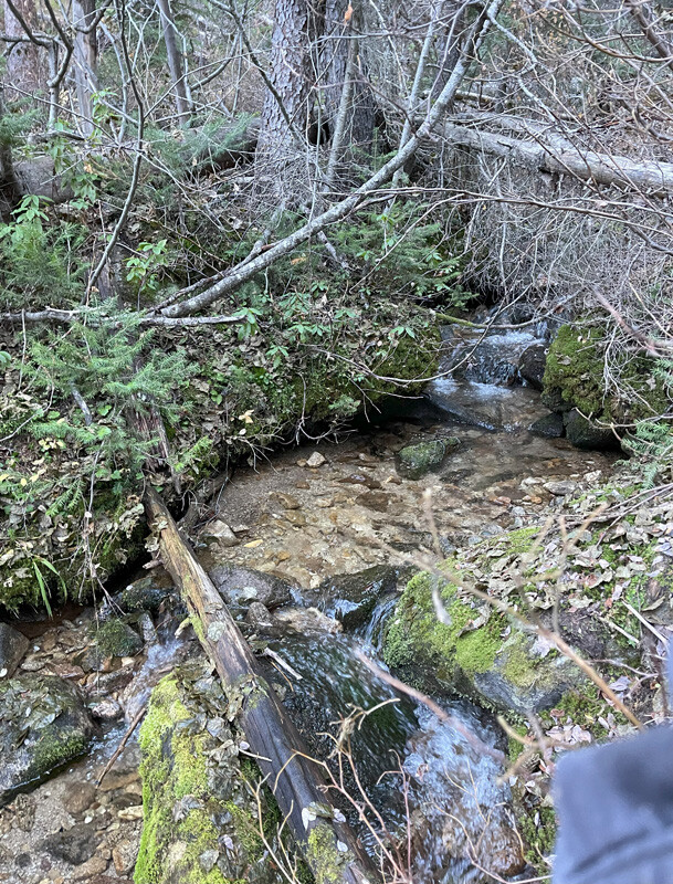
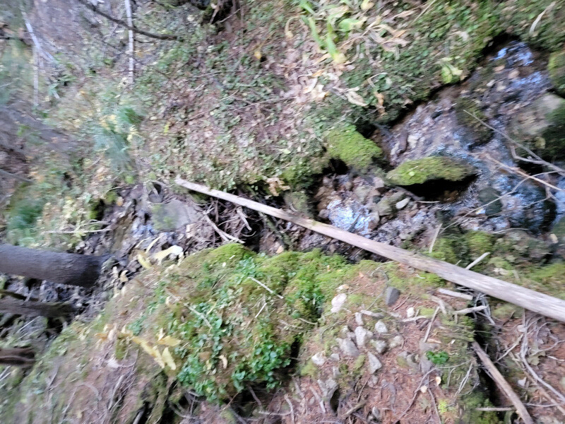
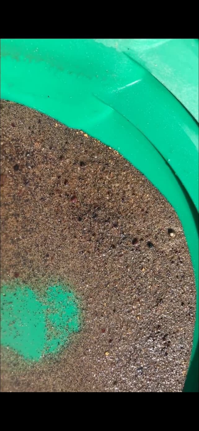
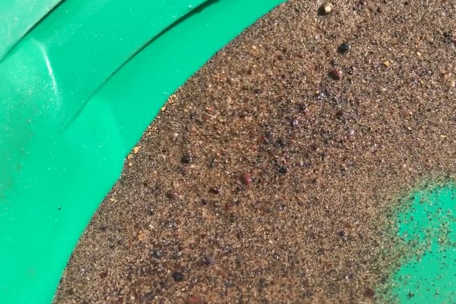
Show Me The Gold
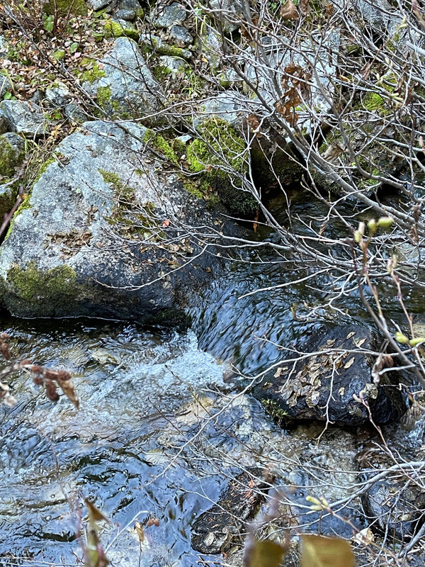
Pictures are from running a high-banker for about 3 hours.
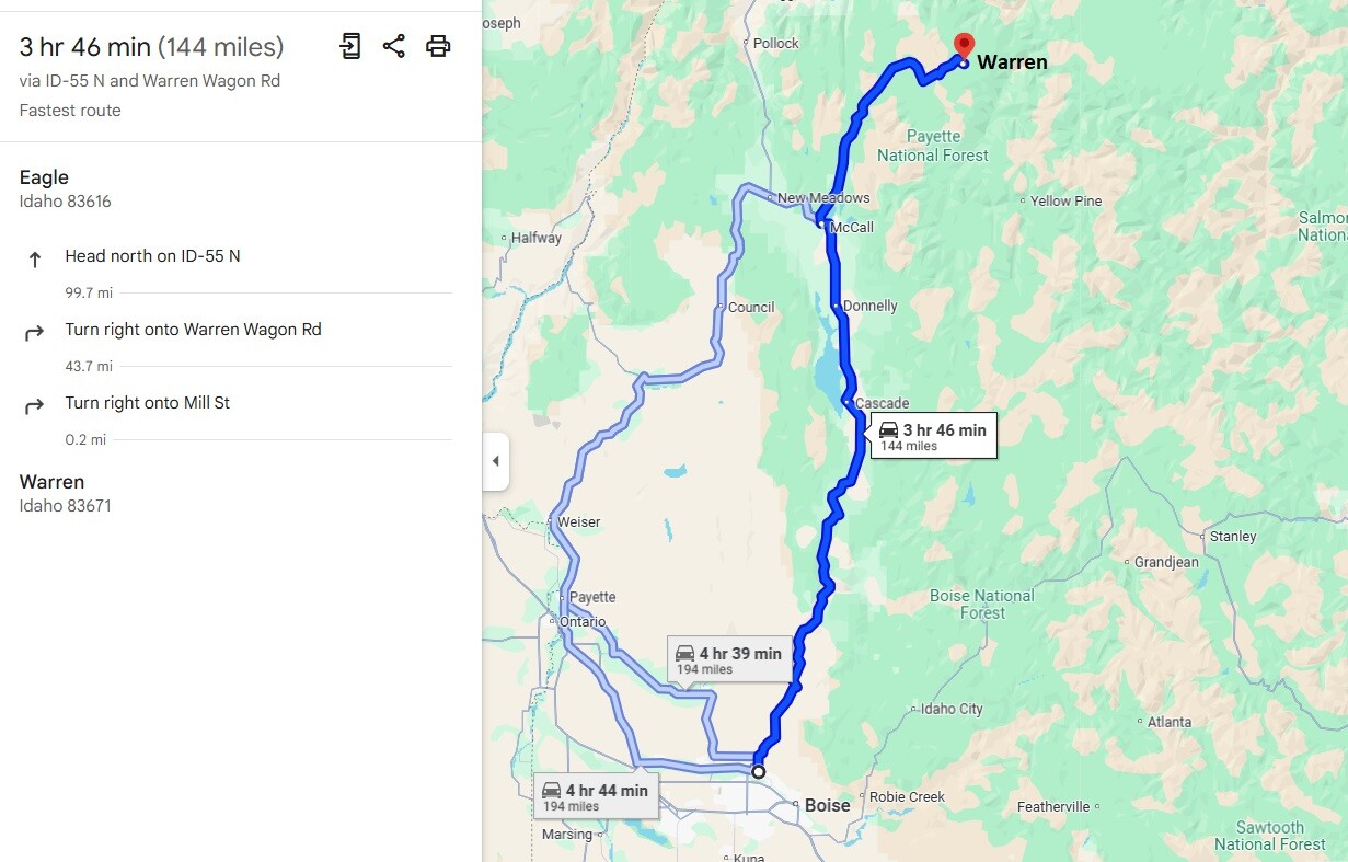
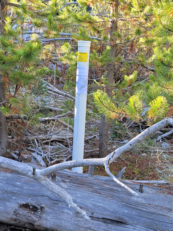
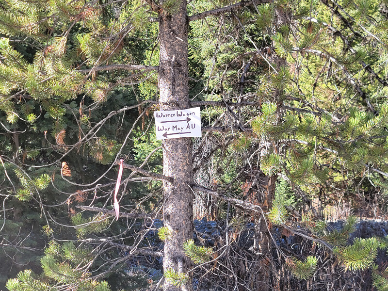
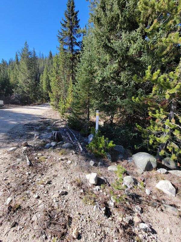
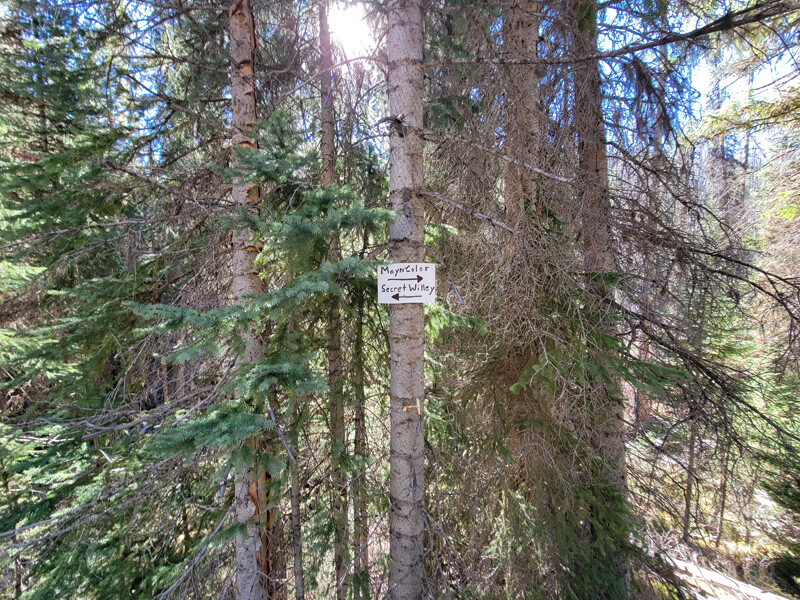
Driving Directions from Boise: Take HWY 55 (from State Street aka HWY 44), north out of Boise to McCall for approximately 100 miles. In McCall (after the curve), you will make a right onto Warren Wagon Road. You will continue on this road (also known as NF 21) for approximately 44 miles until you reach Warren. In the center of Warren, the road does a double curve (just stay on the main road). In town (after the curves) Warren Wagon Road is also called Main Street & NF 340. *From this location, the driving directions to each individual claim, is listed above. Claims have been marked with signs along the road to help identify each location.