Price: $2,250 - $4,500 (bundle)
AvailableTrinity Creek / Featherville Claims
Overview
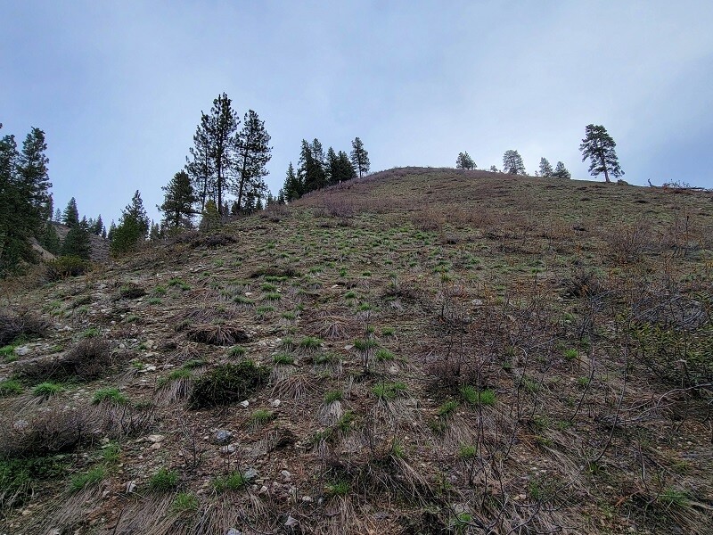
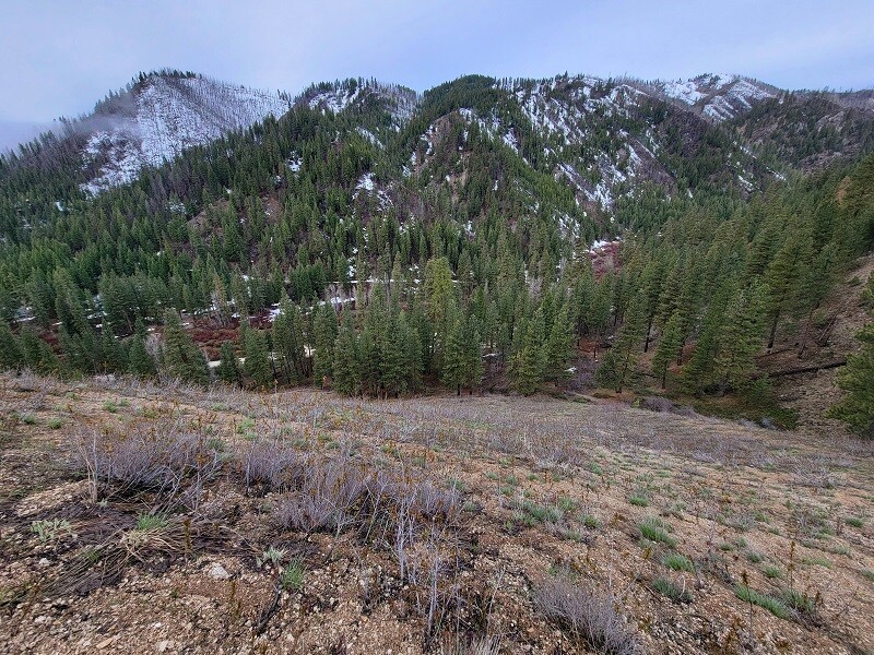
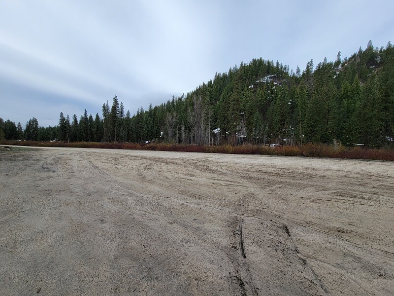
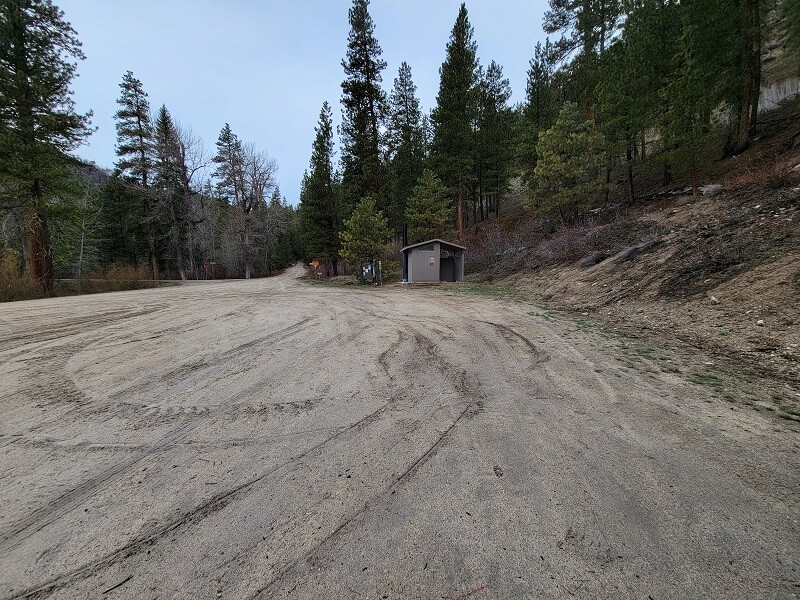
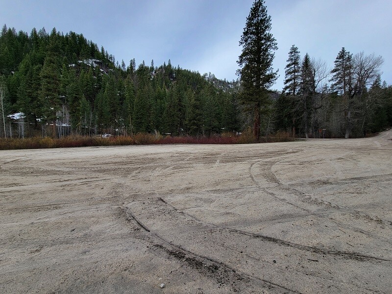
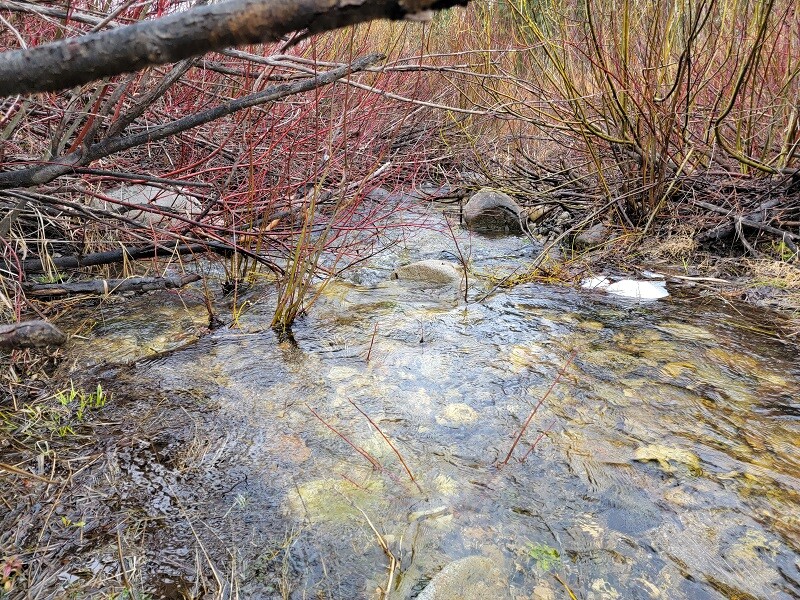
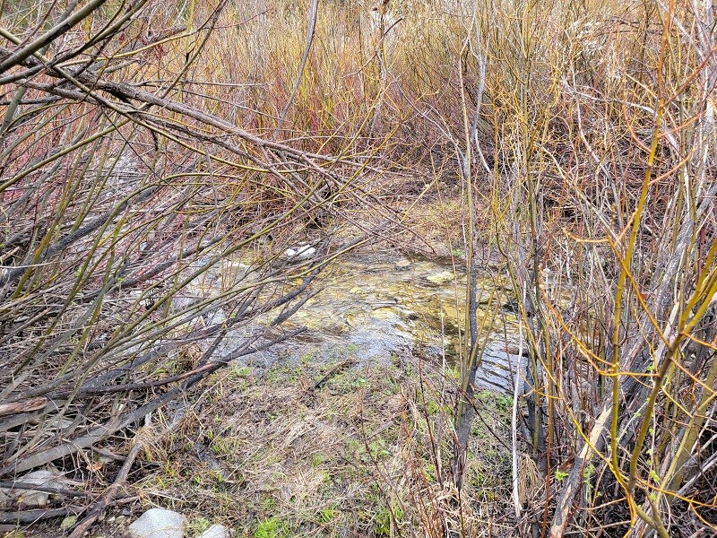
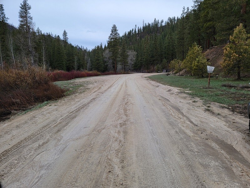
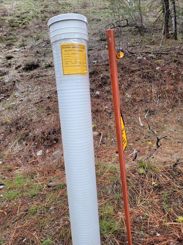
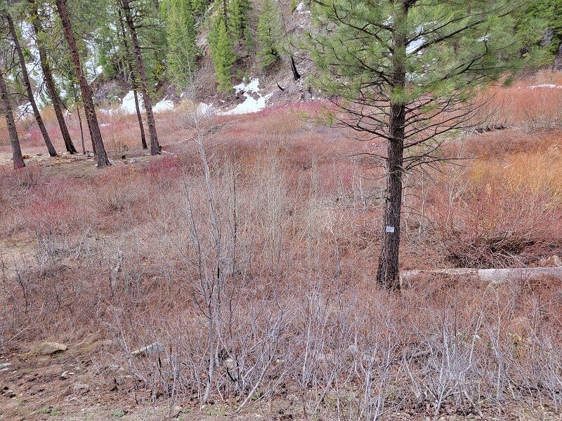
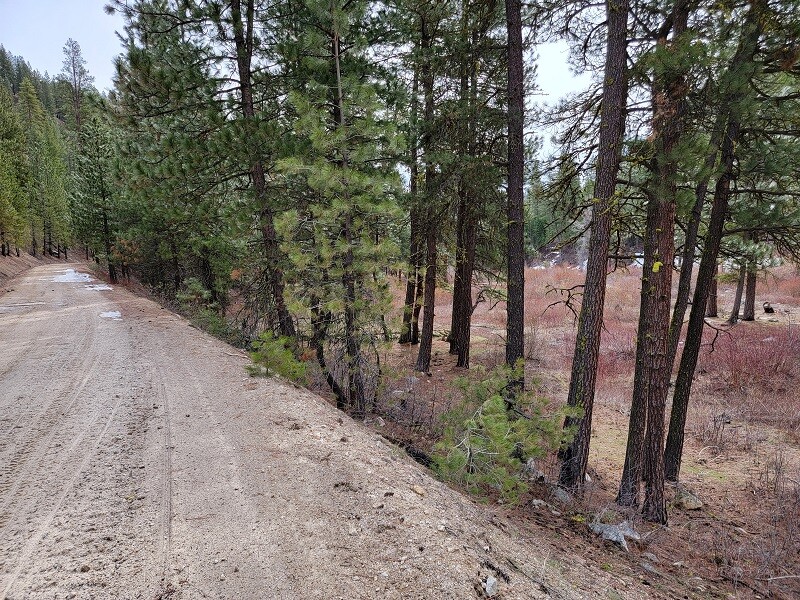
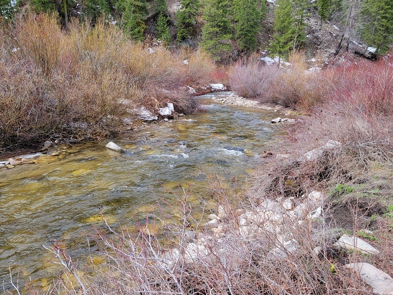
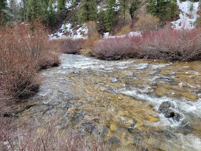
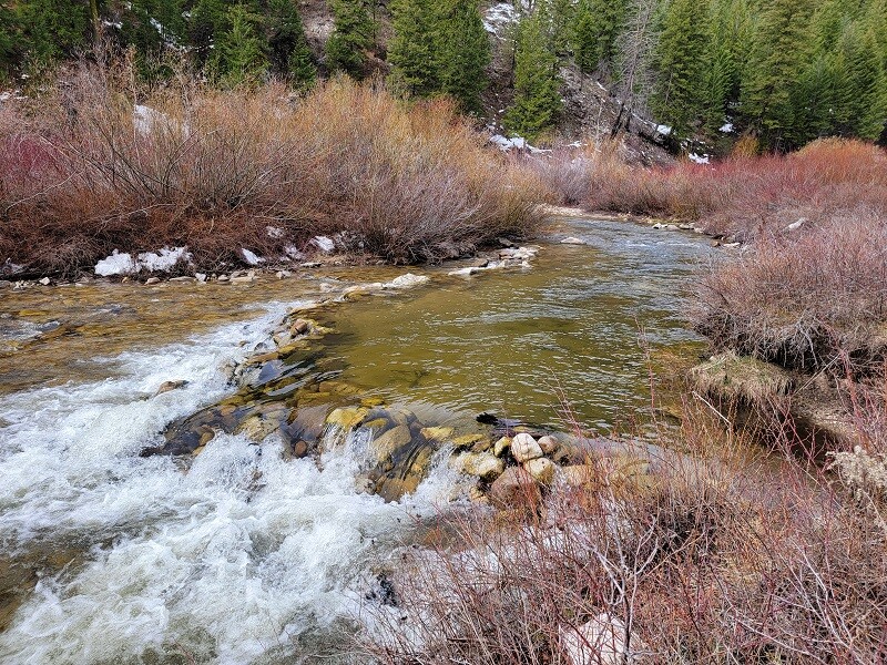
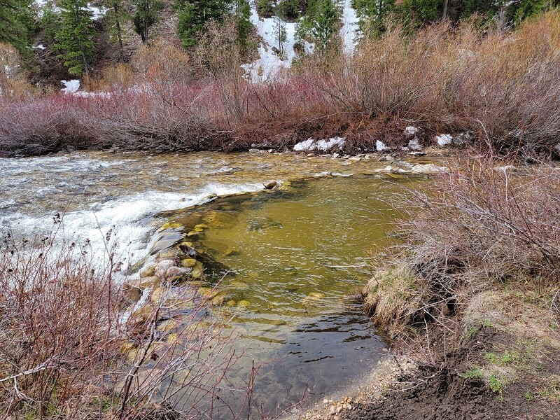
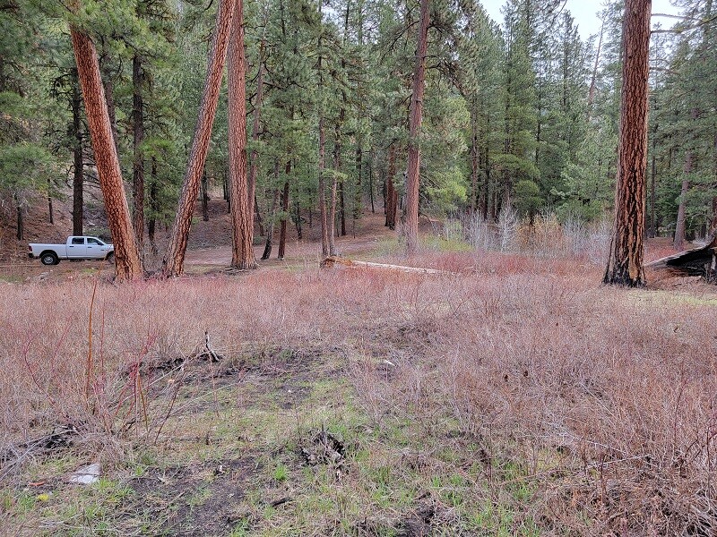
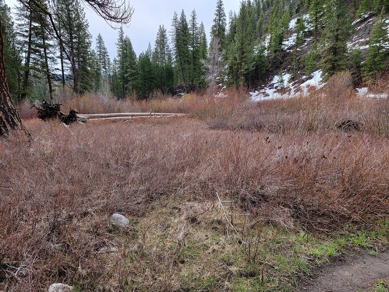
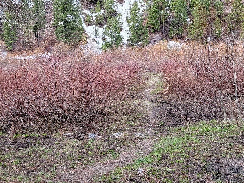
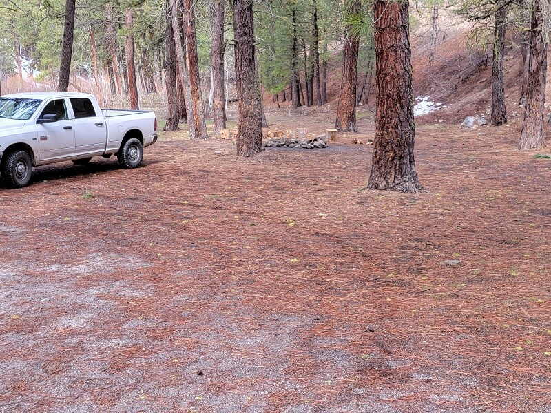
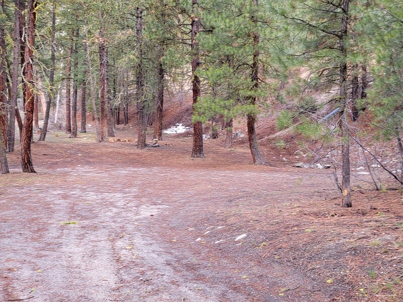
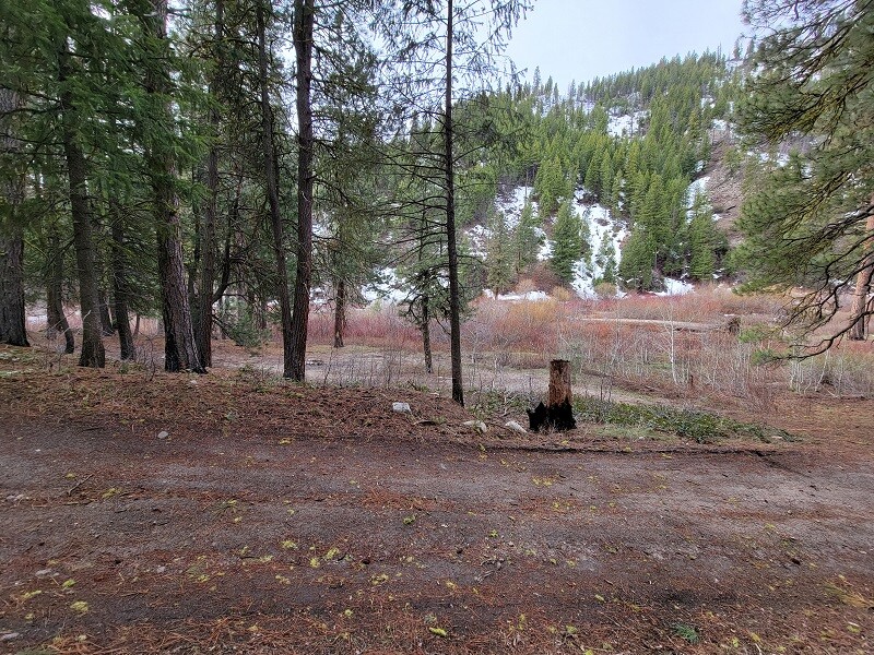
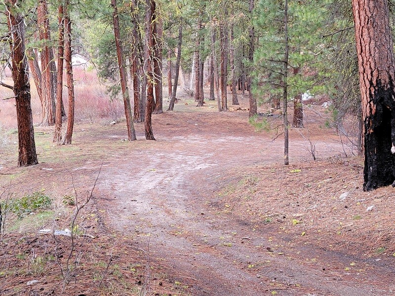
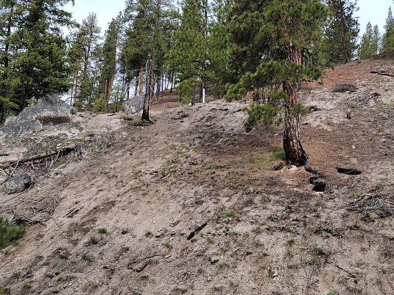
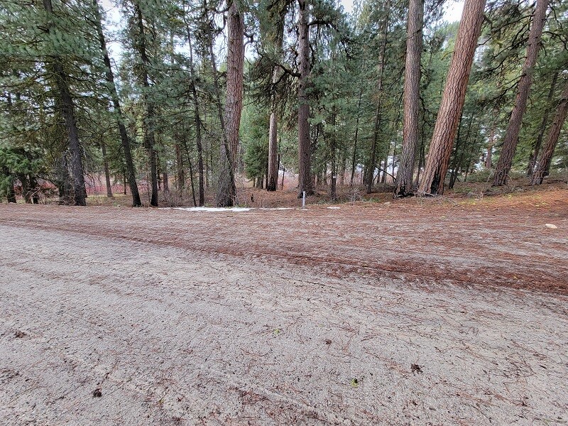
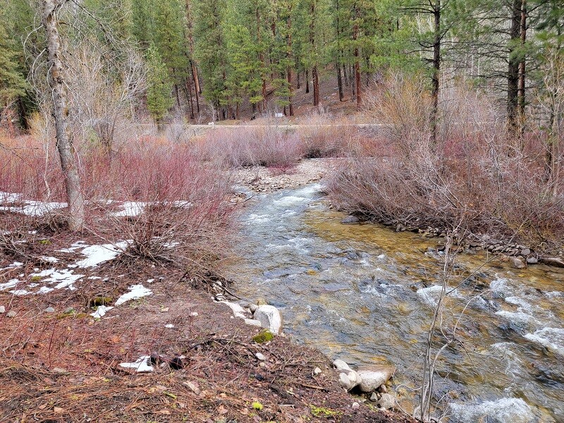
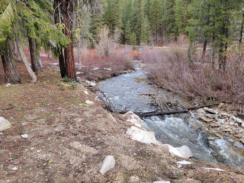
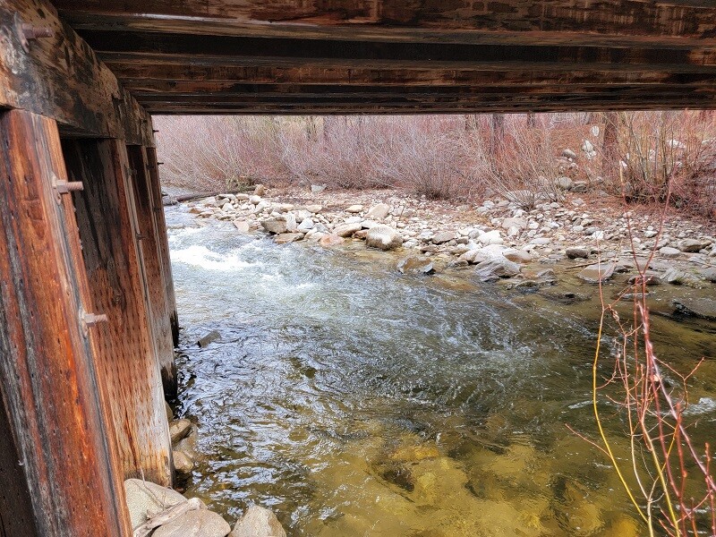
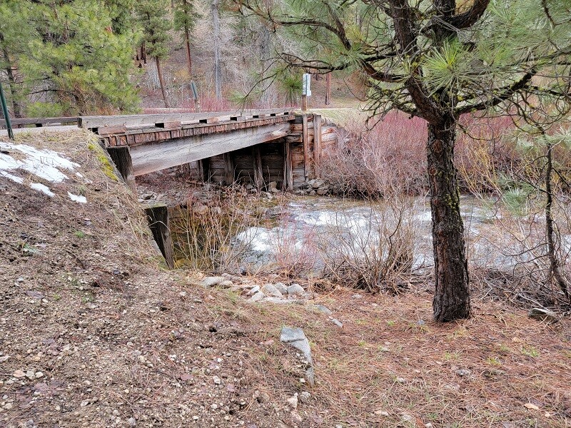
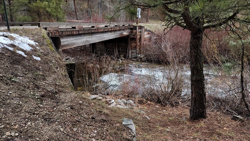
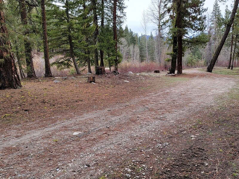
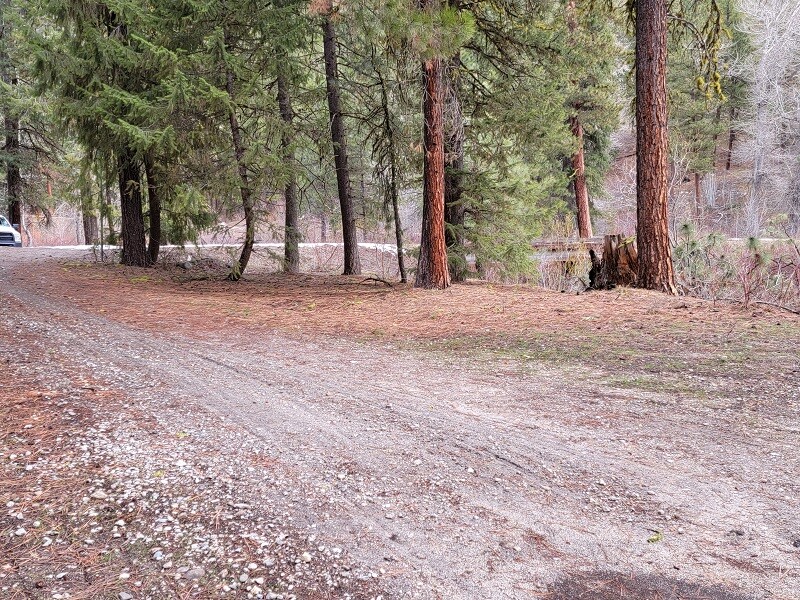
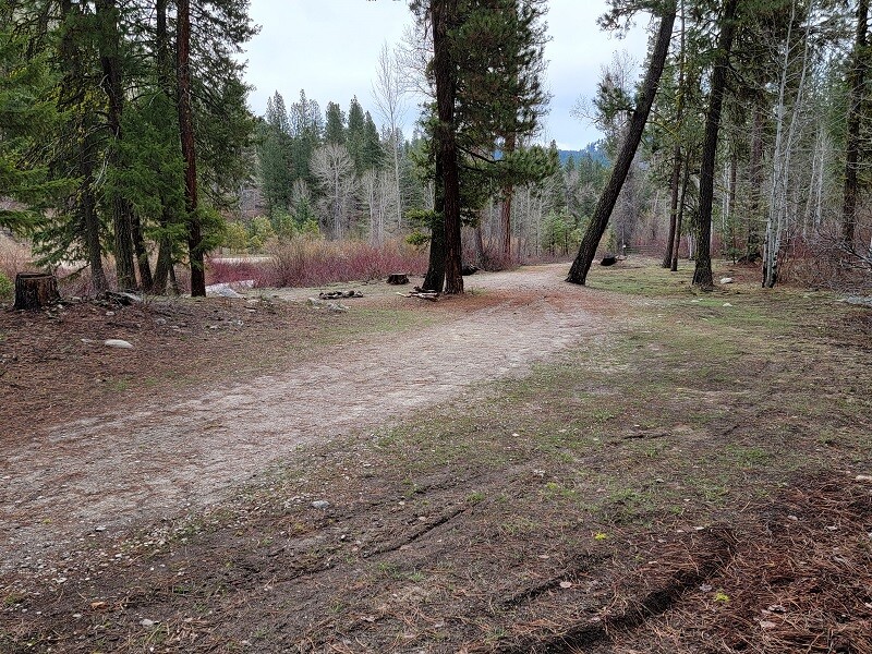
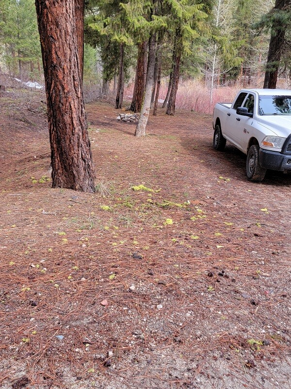
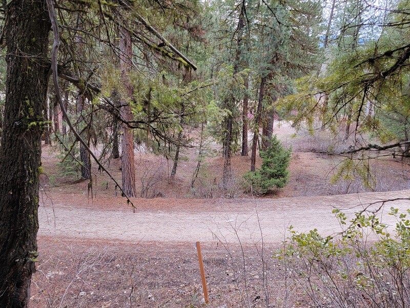
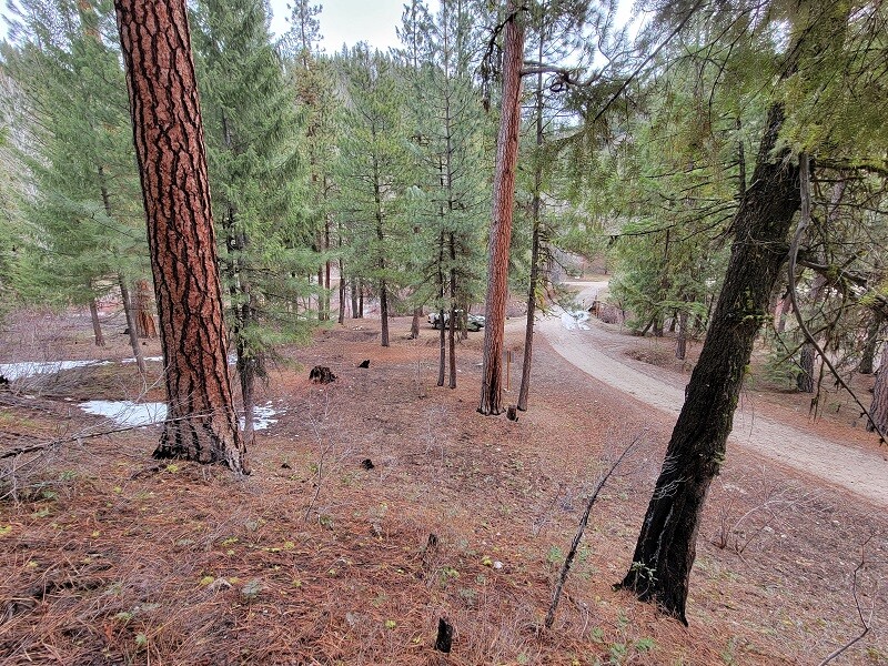
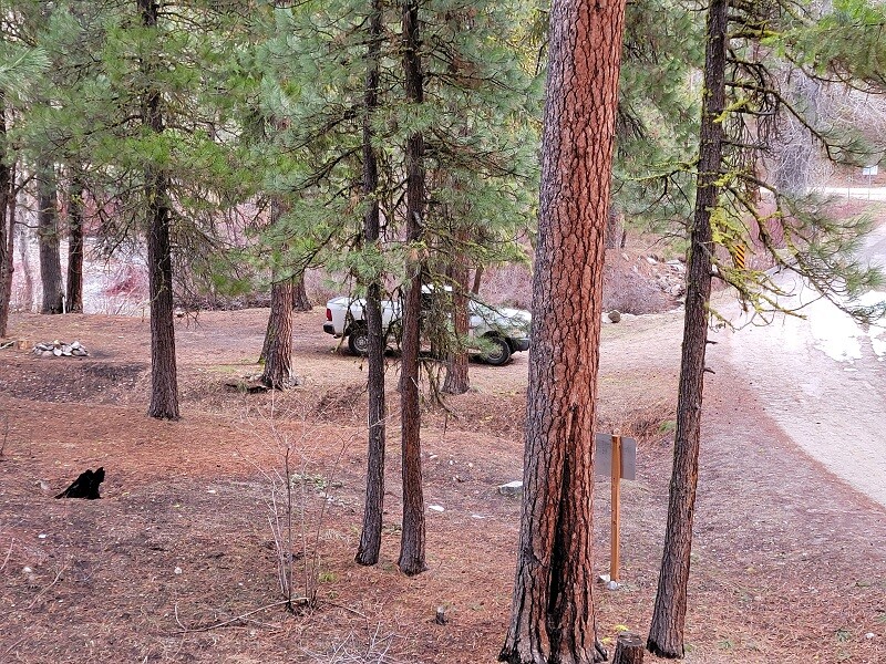
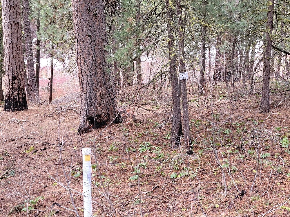
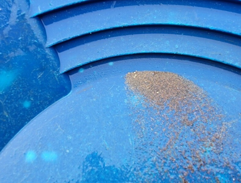
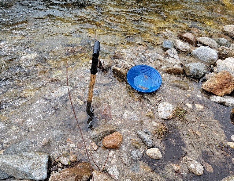
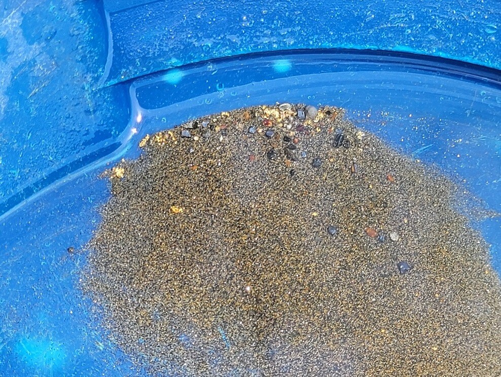
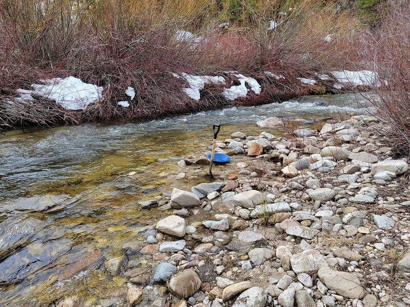
The long awaited “Featherville/Rocky Bar” claims which I have seen a lot of requests to get listed. If you are looking for sites with easy well-graded access and ample camping, these are ones you should consider. These mining claims are positioned about a mile from Featherville on Trinity Creek (a gold bearing tributary the SF Boise River). When taking a visit in Featherville, you may notice the large tailing piles at the Feather River & SF Boise confluence, but you will also see some of the tailings randomly farther west on the SF Boise, as it is a rich riverbed as well. It is pavement all the way into Featherville & a well graded 2 lane gravel NF 172 road that cars can even access to the claims. I will note that there are “other people’s” mining claims abutting and extending all throughout Trinity Creek for many years, showing the history of this being a prospector’s paradise. Year-round water on the sites, as well as ample camping on and around any of these claims. For recreation in the area, there are SEVERAL hot-springs to soak in (around Pine & Featherville), excellent hunting (seen elk multiple times “on” these claims) & fishing, so these have a wide variety of other recreational activities in the area to enjoy. There are services in both Featherville (1 mile to east) & Pine (9 miles to the south). Go check these amazing claims out for yourself.
Idaho Gold Mining is willing to do a “bulk” purchase of $4,500 for both claims, or individual prices listed below.
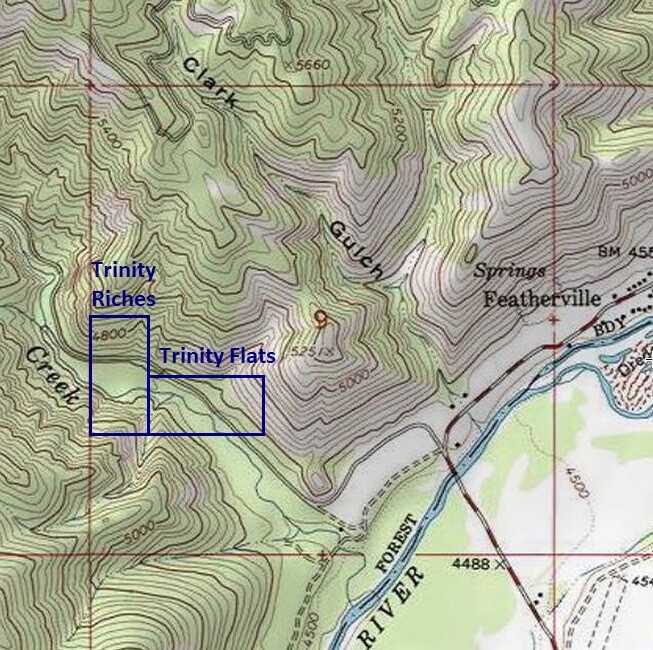
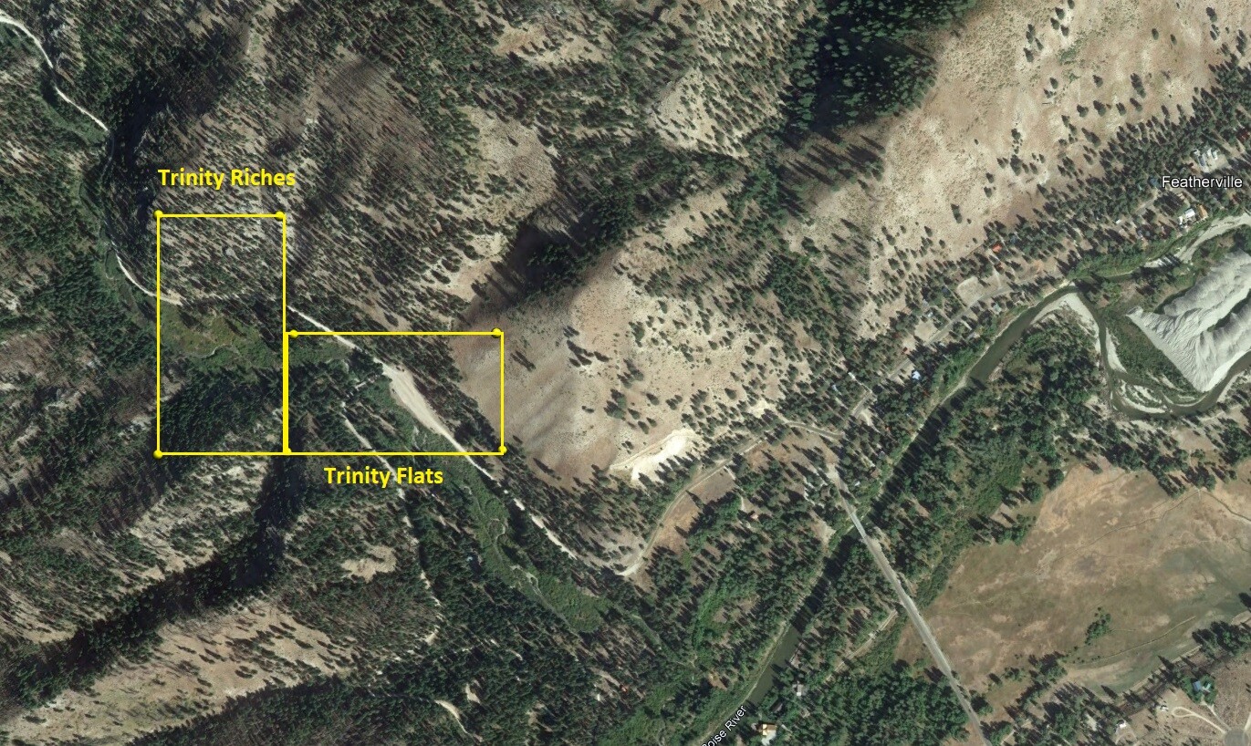
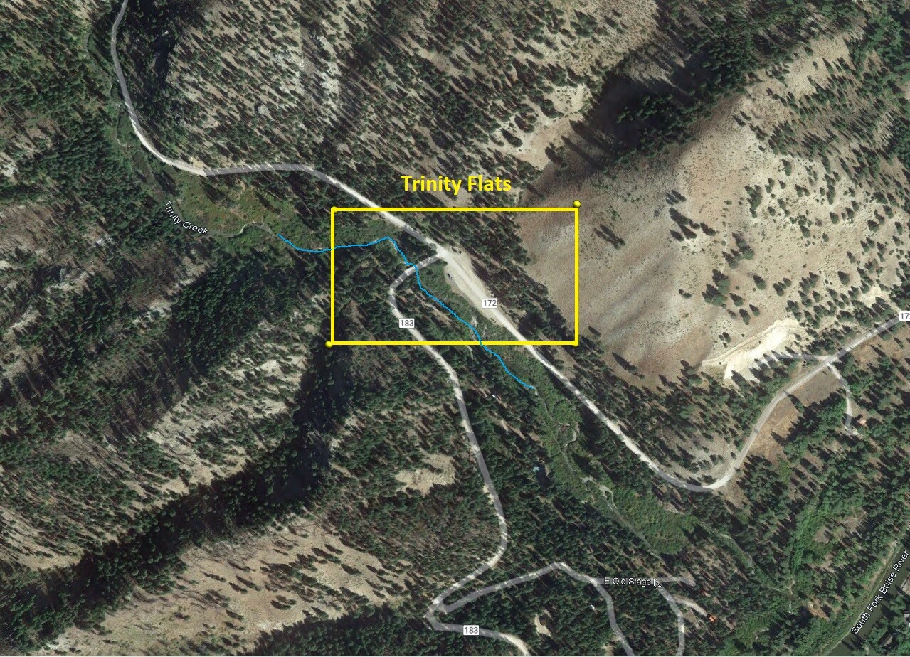
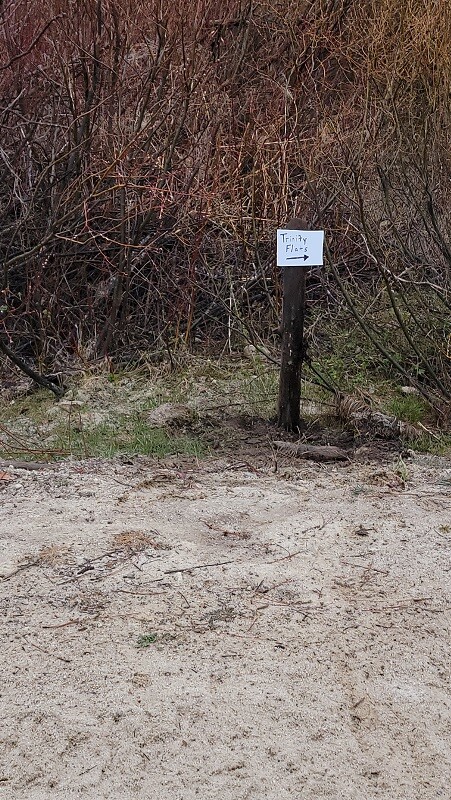
Trinity Flats
Price: $2,750
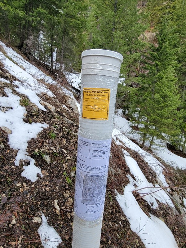
- Acreage: 20 acre unpatented placer claim
- River footage: 1150’ of Trinity Creek - 3 to 4 camping areas on claim
- Location: Elmore County, Township 3N, Range 10E, Sec. 09, SW ¼
- Mining claim serial #: ID106843596
Map to Claim
Coordinates
Marker Degrees, Minutes, Seconds
NW 43°36’26.5680”N, -115°16’44.3280”W
NE 43°36’26.5680”N, -115°16’27.1920”W
SE 43°36’19.6560”N, -115°16’27.1920”W
SW 43°36’19.6560”N, -115°16’44.3280”W
Marker Latitude & Longitude
NW 43.60738’N, -115.27898’W
NE 43.60738’N, -115.27422’W
SE 43.60546’N, -115.27422’W
SW 43.60546’N, -115.27898’W
Aerial & Topo Images
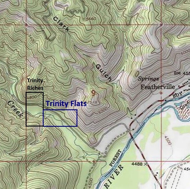
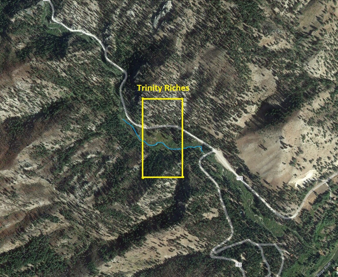
Trinity Riches
Price: $2,250
- Acreage: 20 acre unpatented placer claim
- River footage: 750’ of Trinity Creek - 3 to 4 camping areas on claim
- Location: Elmore County, Township 3N, Range 10E, Sec. 09, SW ¼
- Mining claim serial #: ID106843597
Map to Claim
Coordinates
Marker Degrees, Minutes, Seconds
NW 43°36’33.3000”N, -115°16’53.6160”W
NE 43°36’33.3000”N, -115°16’44.3280”W
SE 43°36’19.6560”N, -115°16’44.3280”W
SW 43°36’19.6560”N, -115°16’53.6160”W
Marker Latitude & Longitude
NW 43.60925’N, -115.28156’W
NE 43.60925’N, -115.27898’W
SE 43.60546’N, -115.27898’W
SW 43.60546’N, -115.28156’W
Aerial & Topo Images
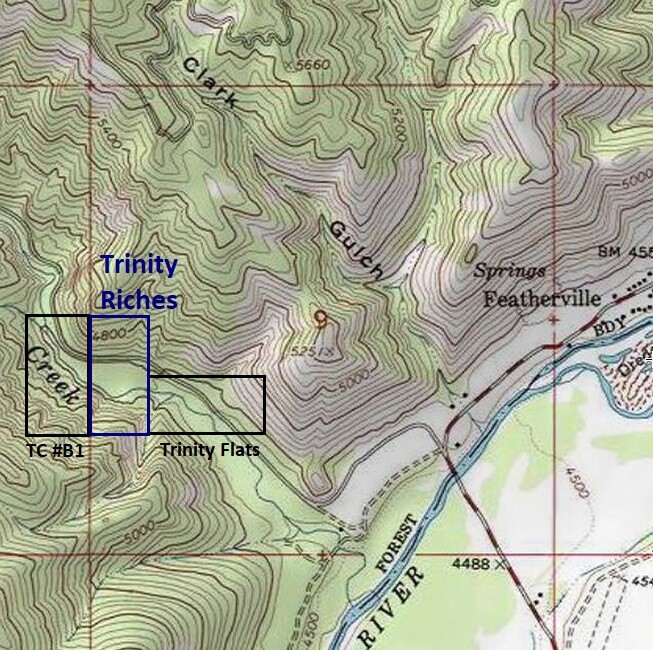
Images
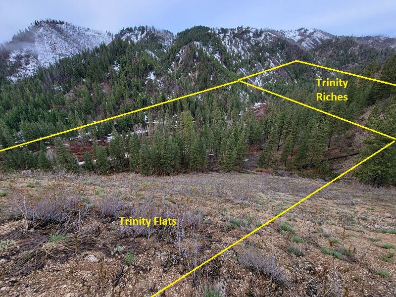
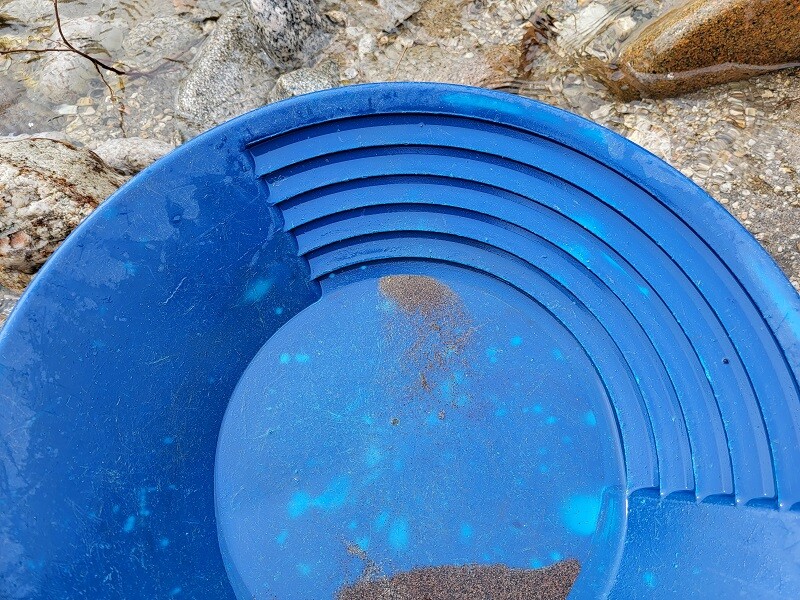
Show Me The Gold
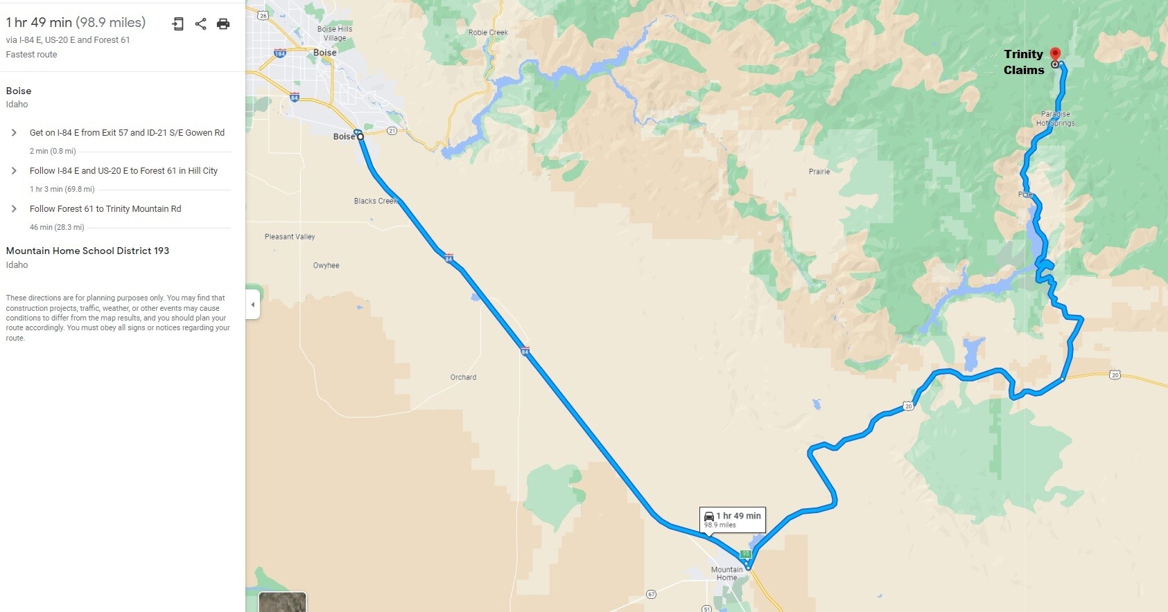
Driving Directions: From Boise, head east on I-84 to Mountain Home, getting off the freeway at Exit 95 (approximately 38 miles from Boise). Make a left onto US-20 HWY, and stay on US-95 for approximately 32 miles to the Anderson Ranch/Featherville turn off, making a left onto Louse Creek Rd/Pine-Featherville Rd (aka Forest 61), which is the main road to Featherville. At approximately 27.8 miles (just past the 3rd bridge crossing the SF Boise River) or about a ½ mile before entering Featherville, turn left onto Trinity Mountain Rd (aka NF 172), sign for Trinity Lake. The claims start about 0.5 miles from the Pine-Featherville Rd.