Sweet Rewards 1 & 2
Sweet Creek Sold
Overview
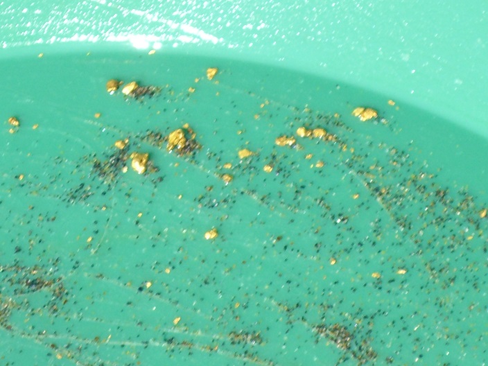
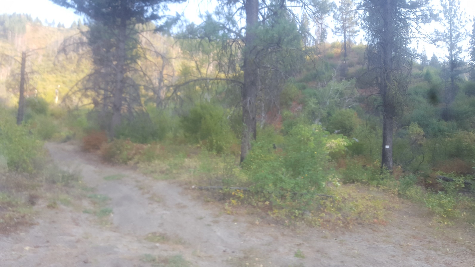
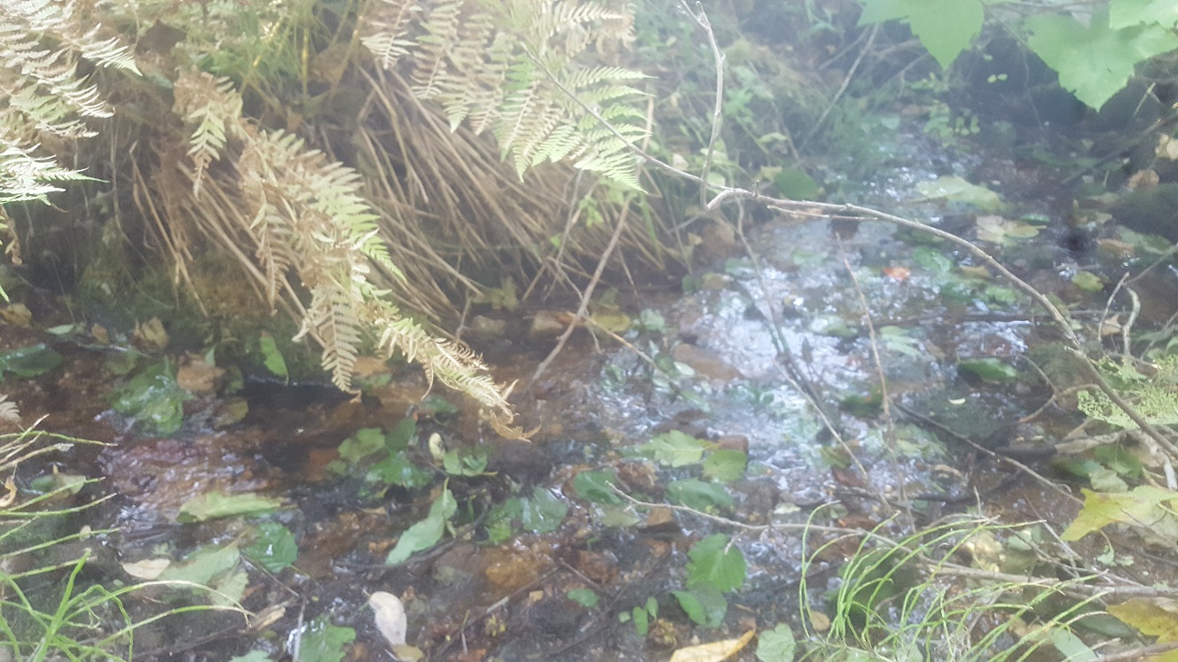
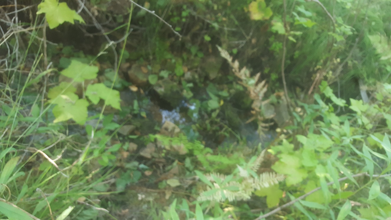
As many people realize, Grimes Pass was a primary hot-spot for not just the placer deposits in Grimes Creek, but that there was hundreds of vein (hardrock) mines that blanketed through this old mining town. These veins stretched to the northeast to the southwest area, which also were worked from the ridge and “Sweet Cr.” side of that mountain top. Even today, besides the patented (private) lode mines, there are also active lode mines to the south of these claims, higher up the ridge and in Sweet Creek. Meaning that many of those exposed vein activity would deposit down into the Sweet Cr side. This drainage does carry water year round, even in late summer. I am selling these claims as a pair, as Sweet Cr meanders in and out of both of these claims, not to mention, while there is room for a couple places to set up camp, gives someone their own more private place to work and have some seclusion. There is evidence in both of the main drainages that some hand work was conducted back in the day to work portions of the drainage. You will also find abandoned roads which goes back up the draw farther back in. With a little bit of clearing to those old roads, you can give yourself even more access farther back in, off the beaten path. As I tell all of my clients, don’t be discouraged by seeing old workings, from their poor recovery methods back then, as you can see from just doing some test panning in some random spots, there is still some nice gold…and chunky little pieces at that.
Sweet Reward 1 & 2 (2 claims)
Sold
- Acreage: 40 acres unpatented placer claims
- River footage: 1400’ of Sweet Creek & 800’ gold bearing adjoining tributaries (secluded camping area on claim)
- Location: Boise County, Township 8N, Range 5E, Sec. 15, SW ¼
- Mining claim serial #: ID105803262 & ...263
Map to Claim
Coordinates
Marker Degrees, Minutes, Seconds
NW 44°01’35.1840″N, -115°51’19.6560”W
NE 44°01’35.1840″N, -115°51’01.4400”W
SE 44°01’22.0800″N, -115°51’01.4400”W
SW 44°01’22.0800″N, -115°51’19.6560”W
Marker Latitude & Longitude
NW 44.02644°N, -115.85546°W
NE 44.02644°N, -115.85040°W
SE 44.02280°N, -115.85040°W
SW 44.02280°N, -115.85546°W
Aerial & Topo Images


Images


Driving Directions: These two claims are located about ½ of a mile northwest of the historic mining town of Grimes Pass. From the Boise area, Grimes Pass can be reached from three different main routes.
- Option 1) HWY 21 to Idaho City, then Centerville Rd to Centerville, then north to Grimes Pass. Do not take the lower Grimes Cr Rd (this is much longer).
- Option 2) HWY 55 to Horseshoe Bend, then up Harris Creek Rd to Centerville, then north to Grimes Pass
- Option 3) HWY 55, right at Banks to Garden Valley, then south across the Payette River, right on South Fork Rd (NF 382), up to Grimes Pass (which will pass by the claims).
Garden Valley route seems fastest as it has significantly less gravel roads.
Driving directions to the claim from Garden Valley: head southeast on the Banks Lowman HWY for 1.5 miles, and turn right on Alder Cr Rd / NF 615 (towards Placerville). After 0.3 of a mile (or just past the Payette River bridge) turn left (east) onto South Fork Rd. (NF 382). Stay on this for about 5.4 miles, and turn right on Grimes Pass Rd. (road is gated straight ahead). Take Grimes Pass Rd. for approximately 1.2 miles to the switchback. At this switchback you are already on the mining claims. Continue forward onto service road where there are places to park and camp.
