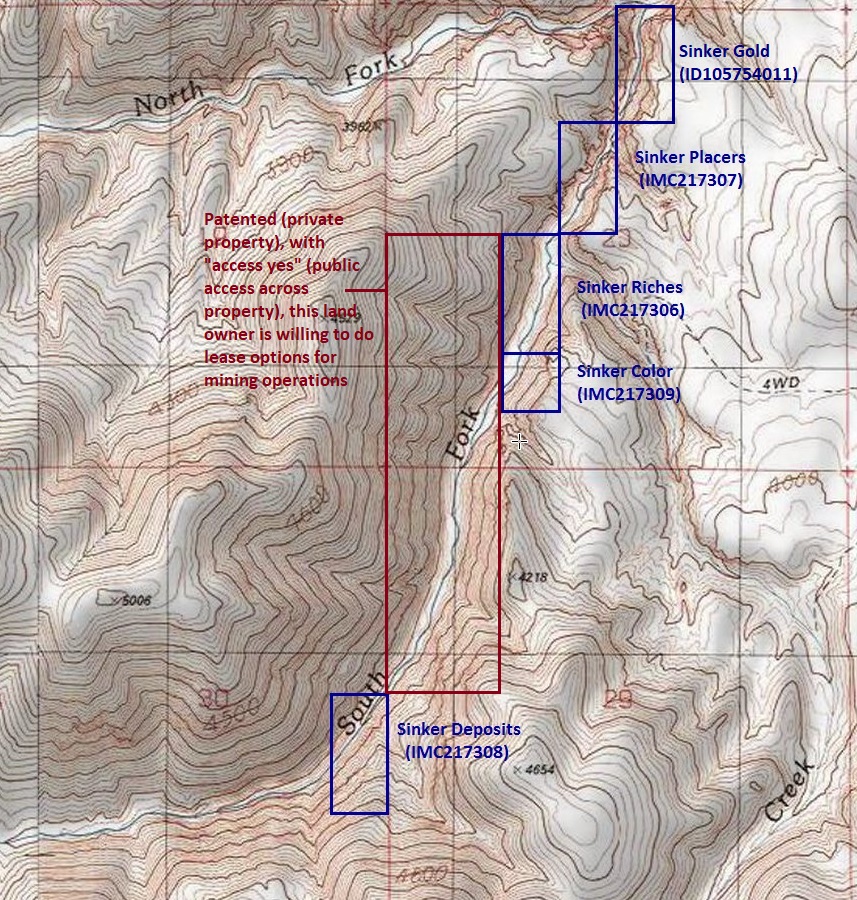
Sinker Creek Claims
Silver City Sold
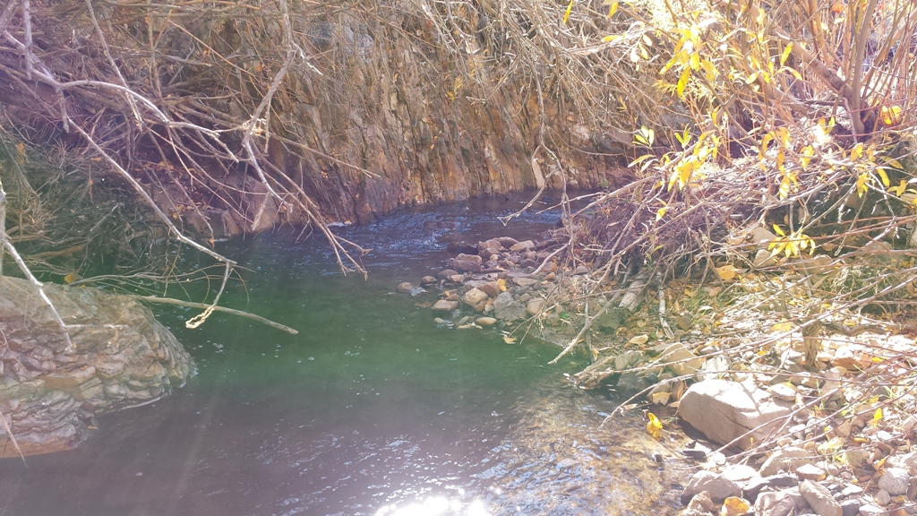
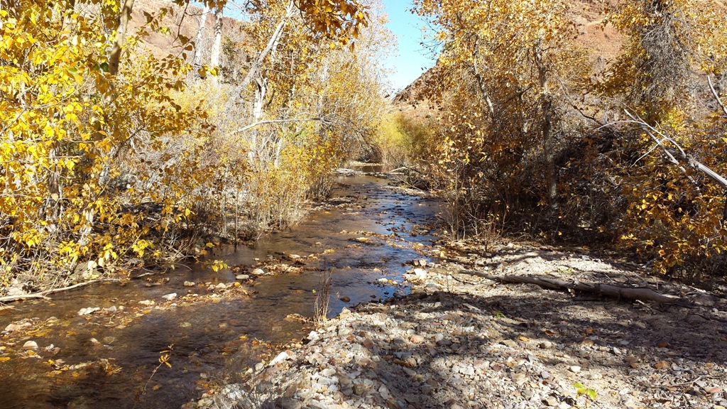
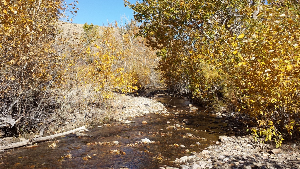
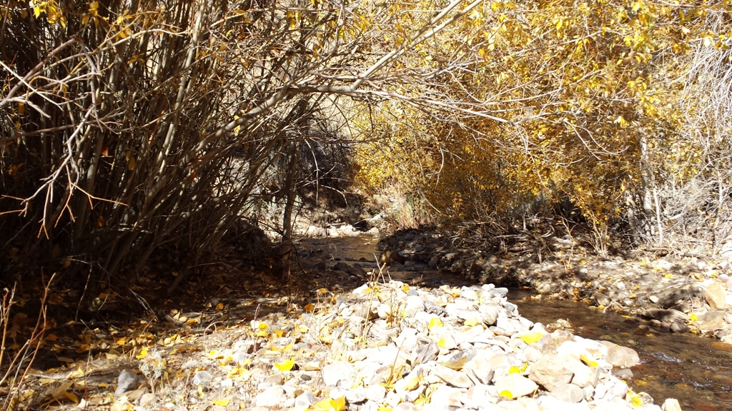
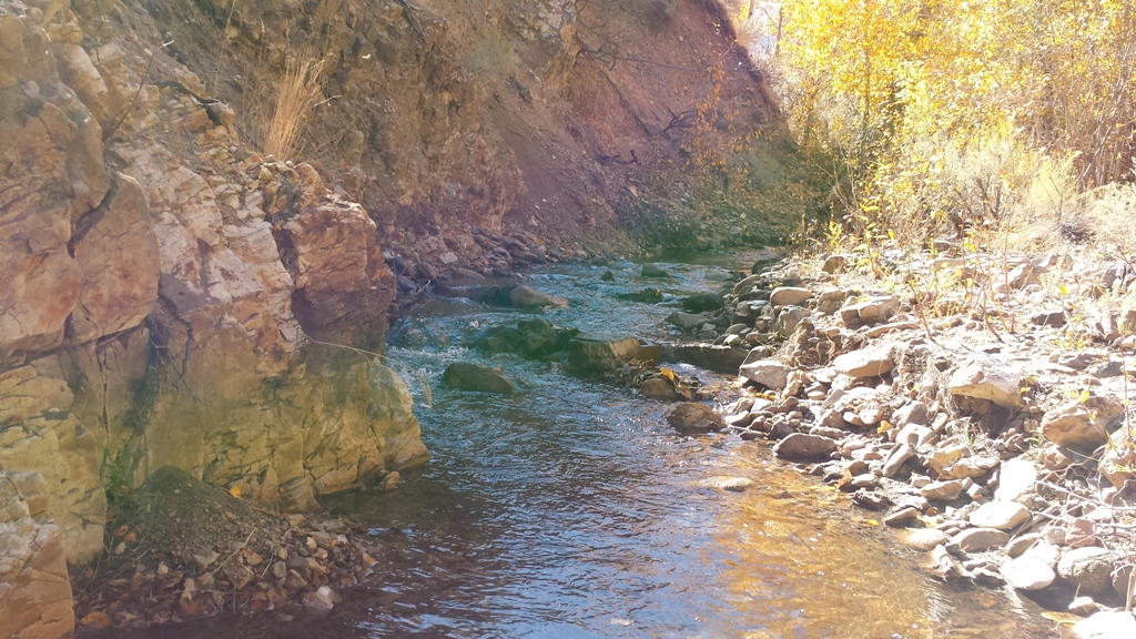
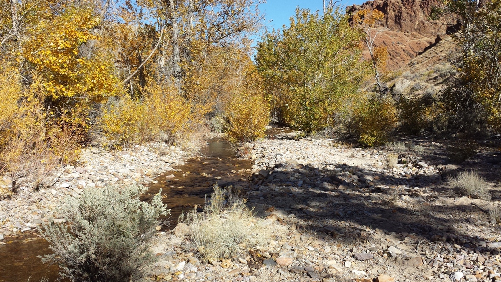
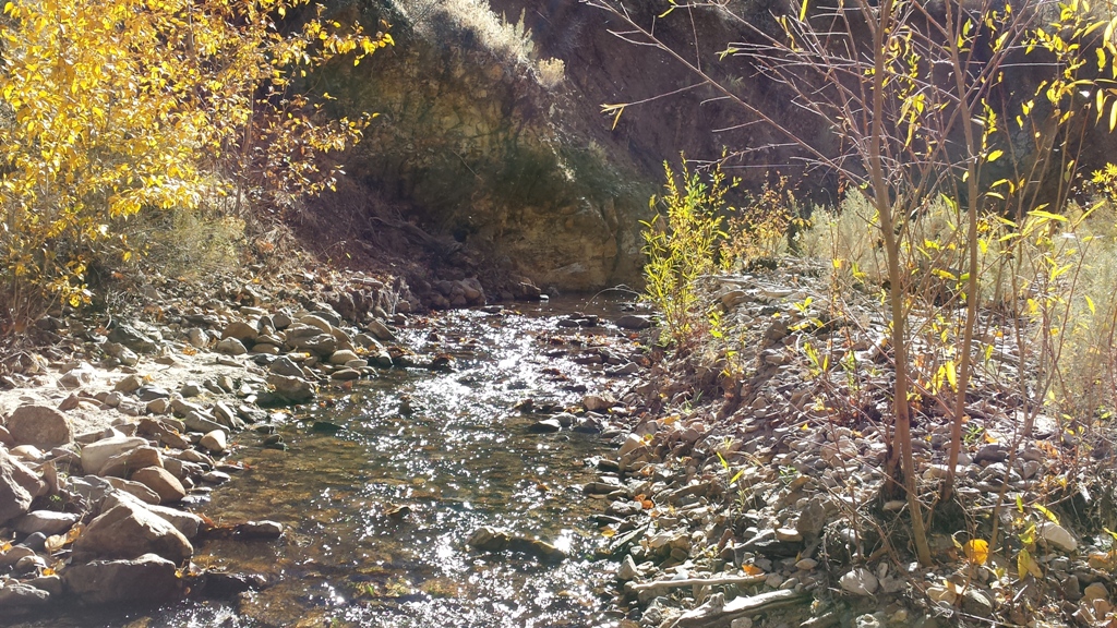
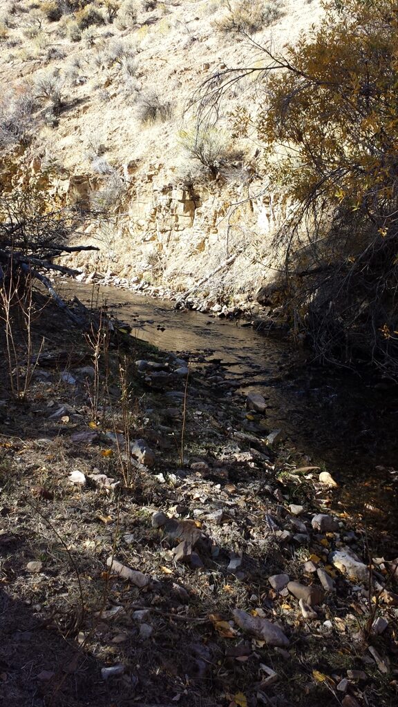
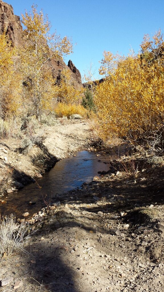
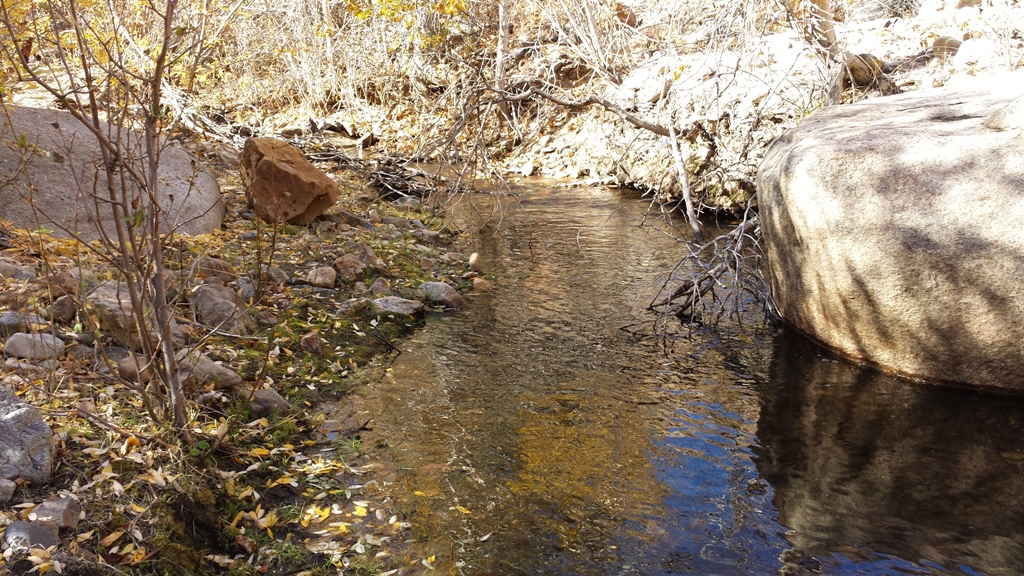
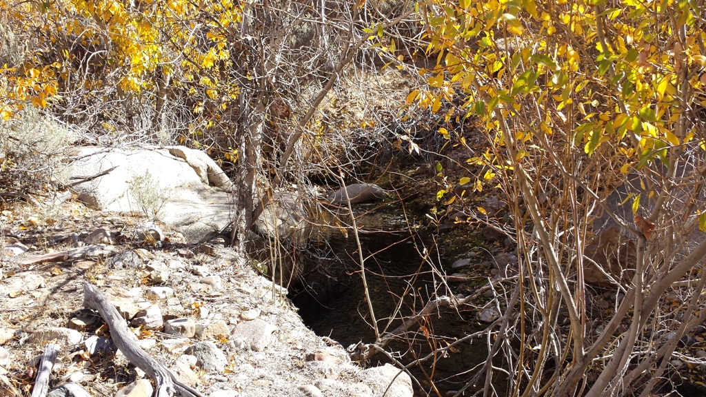
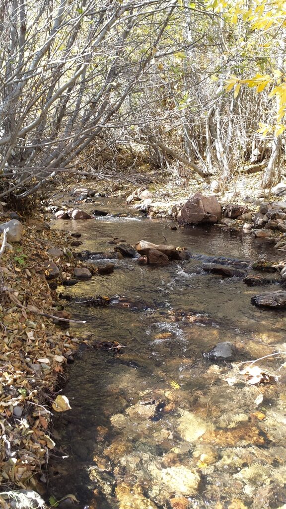
These placer claims are deposits from all the vein activity from War Eagle Mountain, with extremely rich placer deposits right at the foot of some of the richest gold producers of the Silver City region. Sinker Creek is a collection of all the hardrock mining from the eastern portion, with gold collecting and settling within these rich gravels. People constantly ask me about BLM claims, claims which could be developed into placer operations and for claims which are a bit more remote, that don’t show signs of being worked, and these claims would be ideal for such an explorer. As mentioned, these placer claims reside downstream & abutting some of the high yielding gold producing lode sites, and would encourage you to review the geological survey report illustrating the recorded values for those mines, as it shows the rich history of the placers and region. From metal detecting gram size gold and even nice specimens within vein rock have been pulled from just a couple hours playing. These pictures were taken in late summer, so as you can see there is ample year-round water to set up your own operation. I have personally had larger placer operations (with heavy equipment) further upstream, so it does hold the value to be pursuing this into that type of set up.
Maps

Overview
Sinker Deposits
Sold
- Acreage: 20 acre unpatented placer claim
- River footage: 1000’ of Sinker Creek
- Location: Owyhee County, Township 4S, Range 2W, Section 30, SE ¼
- Mining claim serial #: ID101824842 (aka IMC217308)
Map to Claim
Coordinates
Marker Latitude & Longitude
NW Corner 43.04666°N, -116.61331°W
NE Corner 43.04666°N, -116.61095°W
SE Corner 43.04280°N, -116.61095°W
SW Corner 43.04280°N, -116.61331°W
Marker Degrees, Minutes, Seconds
NW Corner 43°02’47.9760″N, -116°36’47.9160″W
NE Corner 43°02’47.9760″N, -116°36’39.4200″W
SE Corner 43°02’34.0800″N, -116°36’39.4200″W
SW Corner 43°02’34.0800″N, -116°36’47.9160″W
Sinker Placers
Sold
- Acreage: 20 acre unpatented placer claim
- River footage: 1,400 feet of Banner Creek
- Location: Owyhee County, Township 4S, Range 2W, Section 20 NW 1/4
- Mining claim serial #: ID101824841 (aka IMC217307)
Map to Claim
Coordinates
Marker Latitude & Longitude
NW Corner 43.06453°N, -116.60352°W
NE Corner 43.06453°N, -116.60112°W
SE Corner 43.06102°N, -116.60112°W
SW Corner 43.06102°N, -116.60352°W
Marker Degrees, Minutes, Seconds
NW Corner 43°03’52.3080″N, -116°36’12.6720″W
NE Corner 43°03’52.3080″N, -116°36’04.0320″W
SE Corner 43°03’39.6720″N, -116°36’04.0320″W
SW Corner 43°03’39.6720″N, -116°36’12.6720″W
Sinker Gold
Sold
- Acreage: 20 acre unpatented placer claim
- River footage: 1,400 feet of Sinker Creek
- Location: Owyhee County, Township 4S, Range 2W, Section 20 NE 1/4
- Mining claim serial #: ID105754011
Map to Claim
Coordinates
Marker Latitude & Longitude
NW Corner 43.06814°N, -116.60112°W
NE Corner 43.06814°N, -116.59859°W
SE Corner 43.06453°N, -116.59859°W
SW Corner 43.06453°N, -116.60112°W
Marker Degrees, Minutes, Seconds
NW Corner 43°04’05.3040″N, -116°36’04.0320″W
NE Corner 43°04’05.3040″N, -116°35’54.9240″W
SE Corner 43°03’52.3080″N, -116°35’54.9240″W
SW Corner 43°03’52.3080″N, -116°36’04.0320″W
Sinker Riches
Sold
- Acreage: 20 acre unpatented placer claim
- River footage: 1,400 feet of Banner Creek
- Location: Owyhee County, Township 4S, Range 2W, Section 20 SW 1/4
- Mining claim serial #: ID101824840 (aka IMC217306)
Map to Claim
Coordinates
Marker Latitude & Longitude
NW Corner 43.06102°N, -116.60601°W
NE Corner 43.06102°N, -116.60352°W
SE Corner 43.05726°N, -116.60352°W
SW Corner 43.05726°N, -116.60601°W
Marker Degrees, Minutes, Seconds
NW Corner 43°03’39.6720″N, -116°36’21.6360″W
NE Corner 43°03’39.6720″N, -116°36’12.6720″W
SE Corner 43°03’26.1360″N, -116°36’12.6720″W
SW Corner 43°03’26.1360″N, -116°36’21.6360″W
Images
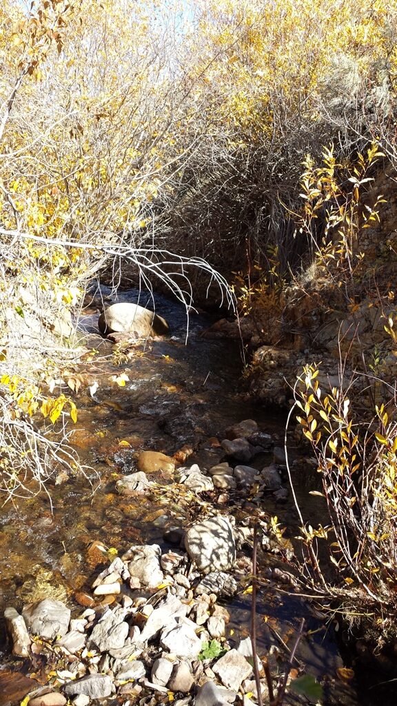
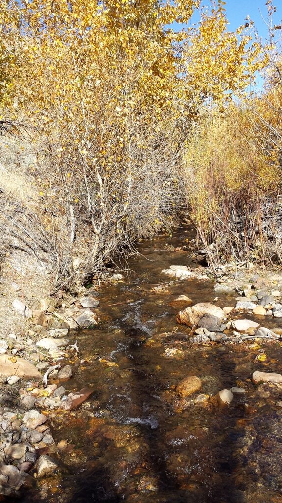
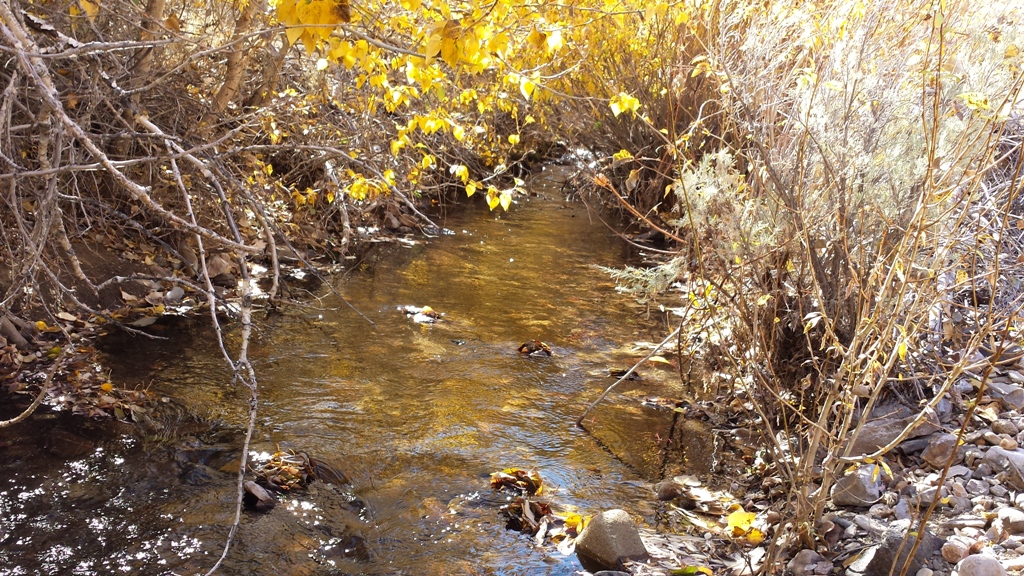
Sinker Color
Sold
- Acreage: 10 acre unpatented placer claim
- River footage: 575 feet of Sinker Creek
- Location: Owyhee County, Township 4S, Range 2W, Section 20 SW 1/4
- Mining claim serial #: ID101824845 (aka IMC217309)
Map to Claim
Coordinates
Marker Latitude & Longitude
NW Corner 43.05726°N, -116.60601°W
NE Corner 43.05726°N, -116.60352°W
SE Corner 43.05541°N, -116.60352°W
SW Corner 43.05541°N, -116.60601°W
Marker Degrees, Minutes, Seconds
NW Corner 43°03’26.1360″N, -116°36’21.6360″W
NE Corner 43°03’26.1360″N, -116°36’12.6720″W
SE Corner 43°03’19.4760″N, -116°36’12.6720″W
SW Corner 43°03’19.4760″N, -116°36’21.6360″W
Images
Driving Directions:
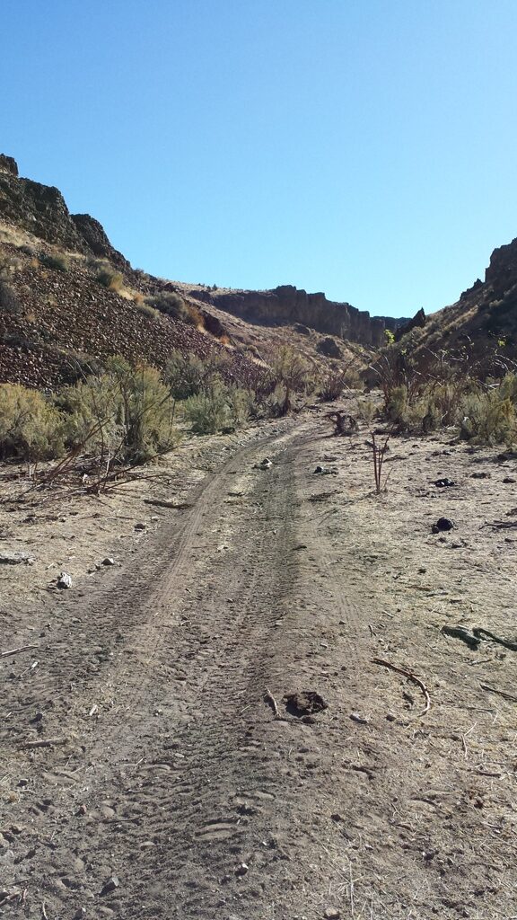
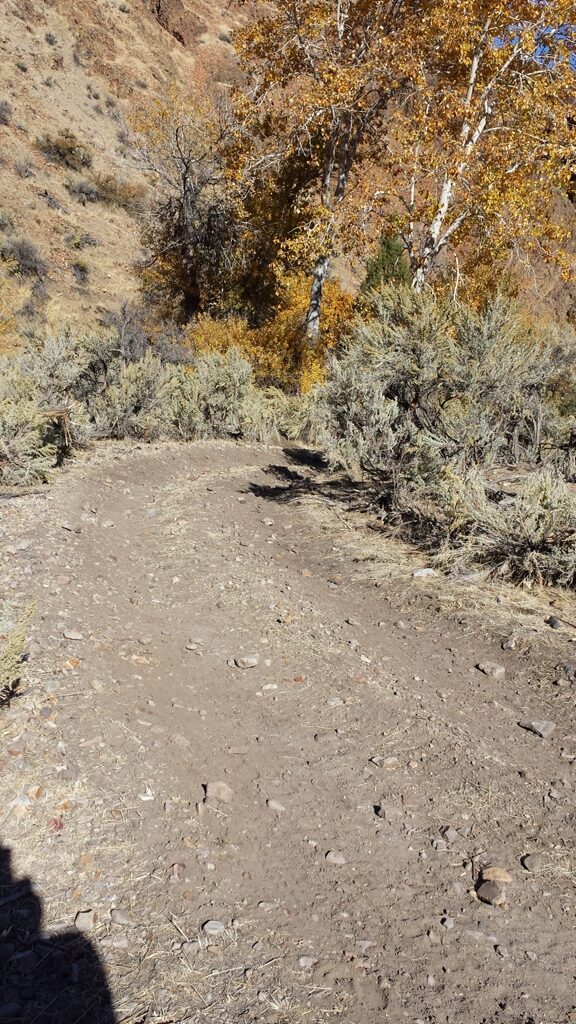
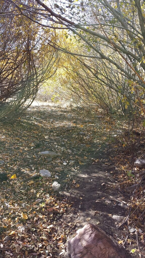
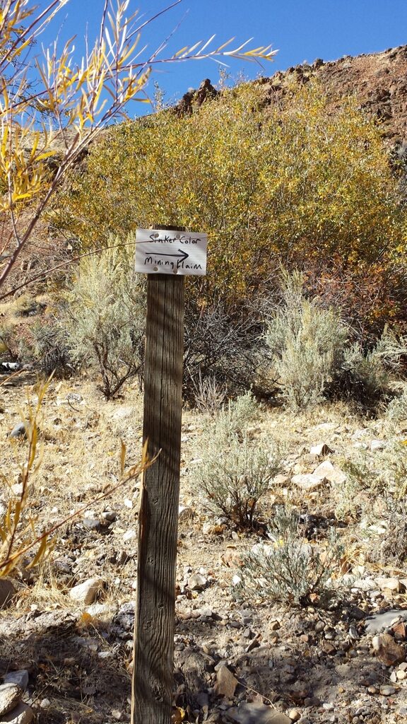
From Nampa, Idaho, travel south on HWY 45 approximately 14 miles to the HWY 78 junction (road will naturally head left to the south on HWY 78), head southeast on HWY 78 to approximately 7.0 miles past Murphy (at 43°07’39.6120″N, -116°28’52.0680″W) turning right on a dirt road labeled F101 (see picture which is about 100’ from HWY 78), head southwest on F101, in 3.5 miles stay right on F101, in 2.0 miles stay left on F102, (do not take any of the less traveled routes that head down to the right), in 0.7 mile you will come to a gate (close behind you), in 1.1 miles you will see a dry small reservoir to the left, in 0.4 mile (at 43°02’58.2360″N, -116°33’33.4080″W) turn right on F470 (less traveled and more rugged road from here), in 1.8 miles turn left on F470, in 0.2 mile stay right in F470, in 0.7 mile you will reach a bluff where you can park your truck. The bluff is 10.4 miles from HWY 78. There is a road that heads down to the right…I have taken a 4 wheel drive truck all the way into the Sinker Riches mining claim, but it gets pretty narrow and a lot rougher, so I would recommend going in with an ATV or by foot to determine if you want to take your vehicle in there. The claims are about ¼ mile from the bluff down the road, and when you get to the creek from the road, you will be on the northern portion of Sinker Riches mining claim. Sinker Color is approximately 1100’ south upstream along the old road, and Sinker Placers is approximately 400’ to the right (north), you can follow the road all the way through the mining claim. The road crosses the river in multiple places across the mining claims.
Driving Maps


Show Me The Gold

