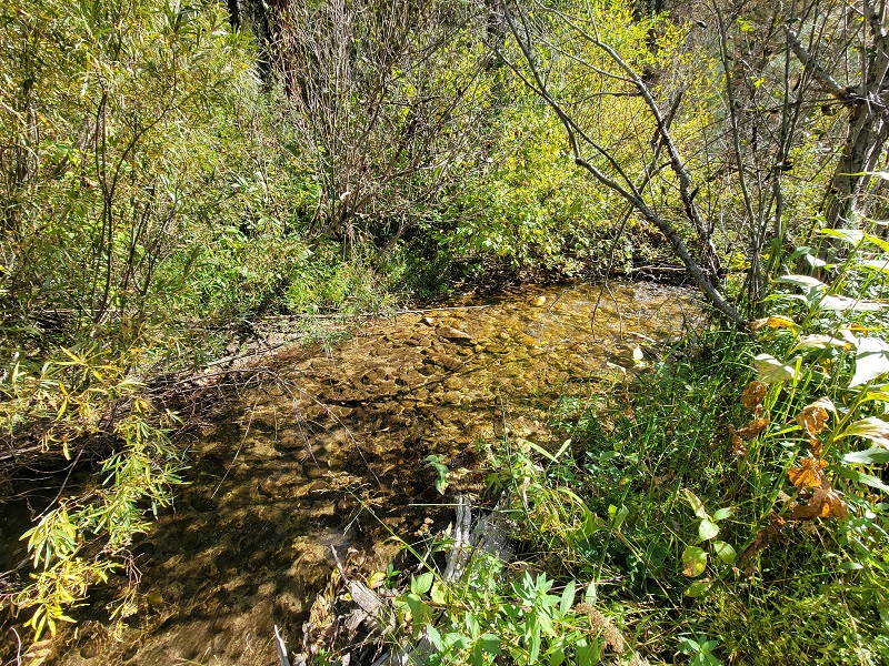
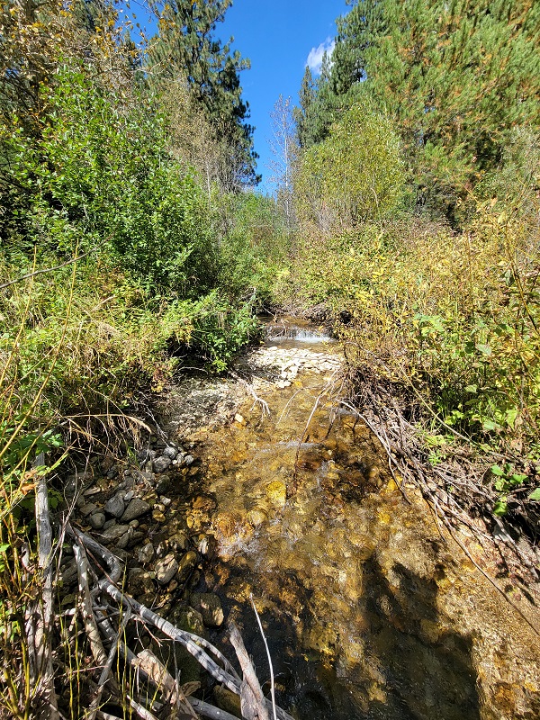
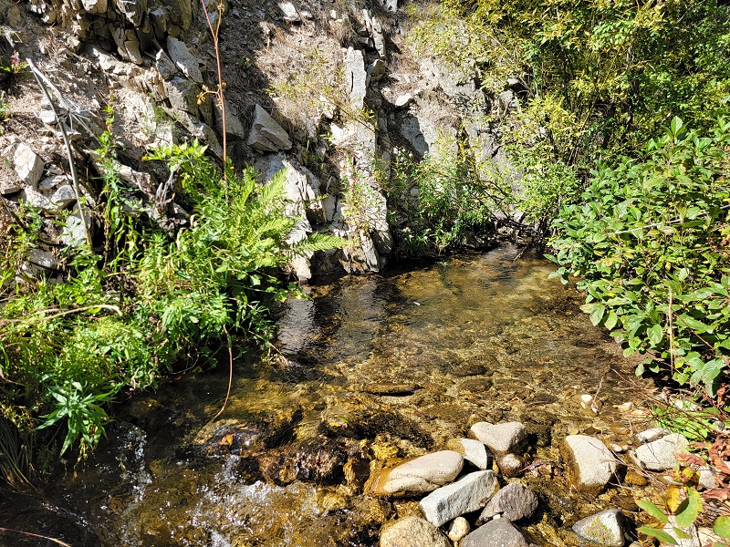
Shake Creek
Rocky Bar Sold
Overview
These mining claims are positioned approximately 6 miles upstream from Featherville on Shake Creek, a tributary of the SF Boise River. When taking a visit in Featherville, you may notice the large tailing piles at the Feather River & SF Boise confluence, but you will also see some of the tailings randomly farther west on the SF Boise, as it is a rich riverbed as well. It is pavement all the way into Featherville & a well graded 2 lane gravel NF 227 road. Showing the rich gold history of this area.
There is ample camping on and around any of these claims, as well as several hot-springs to soak in (around Pine & Featherville), excellent hunting (seen elk multiple times “on” these claims) & fishing, so these have a wide variety of other recreational activities in the area to enjoy. There are services in both Featherville (6 miles west) & Pine (17 to the southwest).


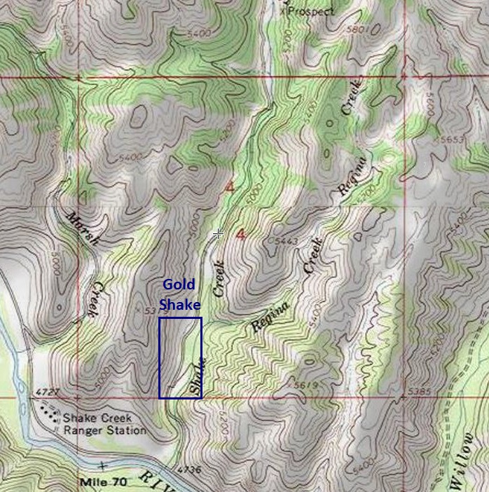
Gold Shake
Price: $2,750
- Acreage: 20 acre unpatented placer claim
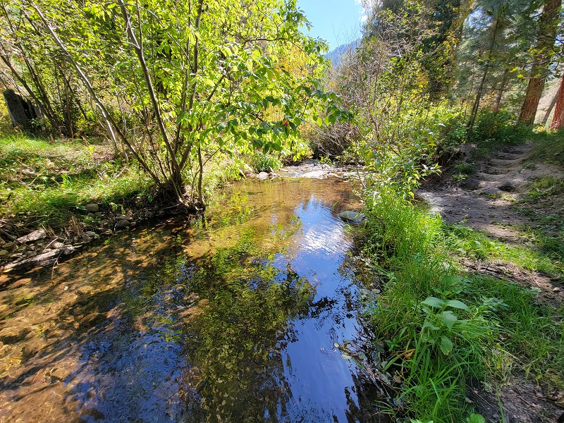
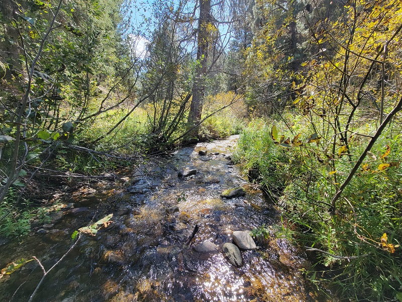
- River footage: 1450’ of Shake Creek (3 camping areas on claim)
- Location: Elmore County, Township 3N, Range 11E, Sec. 04, SW ¼
- Mining claim serial #: ID106318731
Map to Claim
Coordinates
Marker Degrees, Minutes, Seconds
NW 43°37’11.7840″N, -115°09’27.8280″W
NE 43°37’11.7840″N, -115°09’18.3960″W
SE 43°36’58.8960″N, -115°09’18.3960″W
SW 43°36’58.8960″N, -115°09’27.8280″W
Marker Latitude & Longitude
NW 43.61994’N, -115.15773’W
NE 43.61994’N, -115.15511’W
SE 43.61636’N, -115.15511’W
SW 43.61636’N, -115.15773’W
Aerial & Topo Images

Images


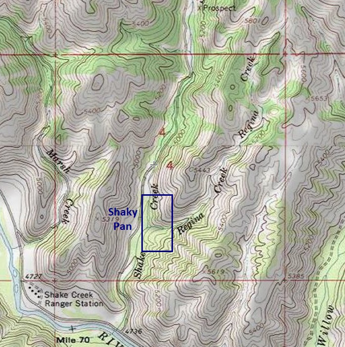
Shaky Pan
Price: $2,000
- Acreage: 20 acre unpatented placer claim
- River footage: 850’ of Shake Creek (1 camping area on claim)
- Location: Elmore County, Township 3N, Range 11E, Sec. 04, SW ¼
- Mining claim serial #: ID106318737
Map to Claim
Coordinates
Marker Degrees, Minutes, Seconds
NW 43°37’18.3720″N, -115°09’18.3960″W
NE 43°37’18.3720″N, -115°09’08.9640″W
SE 43°37’05.4120″N, -115°09’08.9640″W
SW 43°37’05.4120″N, -115°09’18.3960″W
Marker Latitude & Longitude
NW 43.62177’N, -115.15511’W
NE 43.62177’N, -115.15249’W
SE 43.61817’N, -115.15249’W
SW 43.61817’N, -115.15511’W
Aerial & Topo Images

Images


Shaky Sluice
Price: $2,250
- Acreage: 20 acre unpatented placer claim
- River footage: 1350’ of Shake Creek (2 camping areas on claim)
- Location: Elmore County, Township 3N, Range 11E, Sec. 04, SW & NW ¼s
- Mining claim serial #: ID106318736
Map to Claim
Coordinates
Marker Degrees, Minutes, Seconds
NW 43°37’32.1240″N, -115°09’18.3960″W
NE 43°37’32.1240″N, -115°09’08.9640″W
SE 43°37’18.3720″N, -115°09’08.9640″W
SW 43°37’18.3720″N, -115°09’18.3960″W
Marker Latitude & Longitude
NW 43.62559’N, -115.15511’W
NE 43.62559’N, -115.15249’W
SE 43.62177’N, -115.15249’W
SW 43.62177’N, -115.15511’W
Aerial & Topo Images


Images


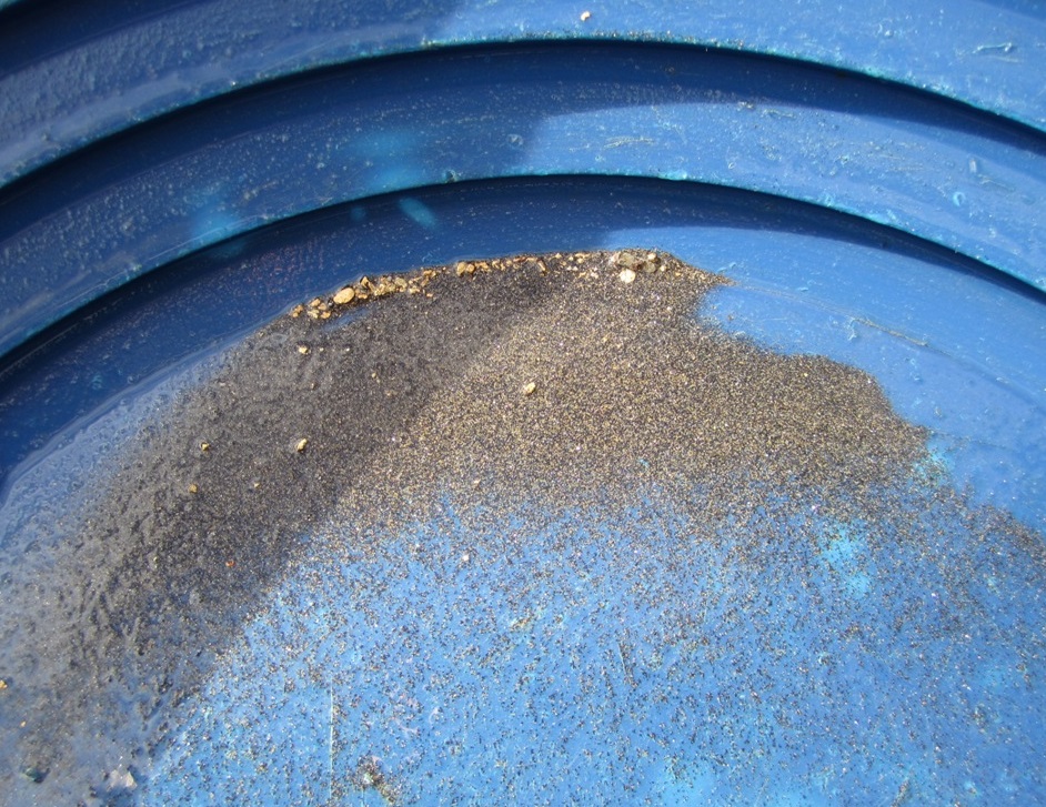
“Show Me the Gold” – I typically set up a high banker for 3 to 4 hours in a creek, but after only 2 & ½ hours I was already finding nice color in the sluice. I was surprised during cleanout to see as much and as chunky gold that I did, however I had also hit a nice area where bedrock had been shallow. This drainage appears to be virgin, with no sign of old workings.
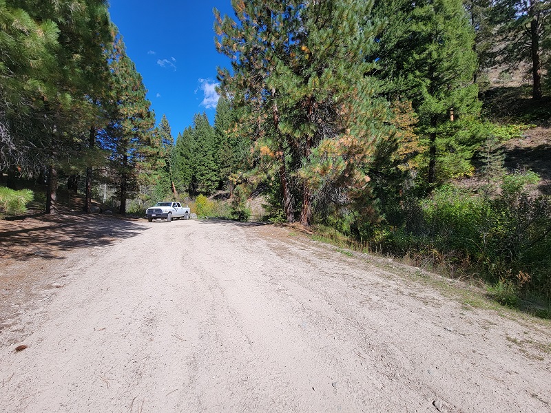
Driving Directions from Mountain Home: Take HWY 20 (from I-84 Exit 95), north out of Mountain Home for 31.5 miles. Turn left (north) onto NF 61 (AKA Pine-Featherville Rd, signs for Anderson Ranch) and stay on this road for 28.6 miles. I will note that in Pine at the T looking intersection (at 18 miles), the main road (without stop sign), veers to the right by the Pine diner…so just stay on the main road. After entering the original older town of Featherville (at approximately 28.7 miles from HWY 20). The road name changes to NF 227 just outside of Featherville. You will continue on NF 227 for 6.0 miles and make a left (north) onto the NF 005, which is approximately 2000’ (0.4 of a mile) past the Forest Service facility. You will continue on NF 005 for approximately 0.3 of a mile until you reach the Gold Shake mining claim. The NF 005 extend for another 1/2 mile upstream (where the road terminates), which is midway on the Shaky Sluice mining claim, and extends upstream for approximately 800 feet beyond this point.

