Price: $3,500
AvailableSF Boise River
Overview
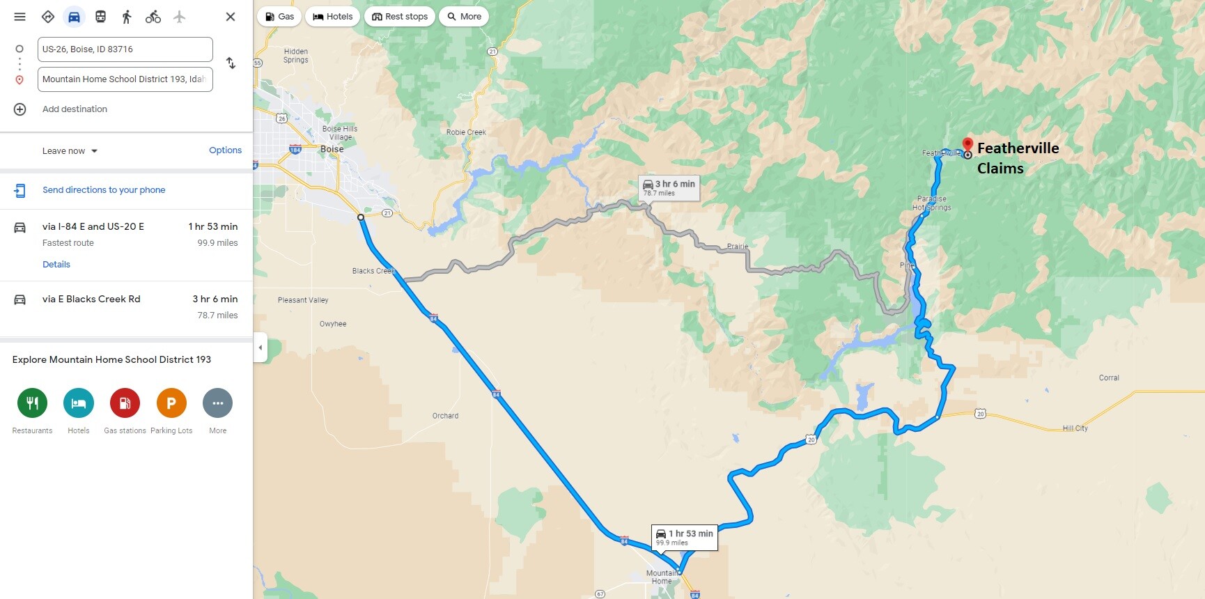
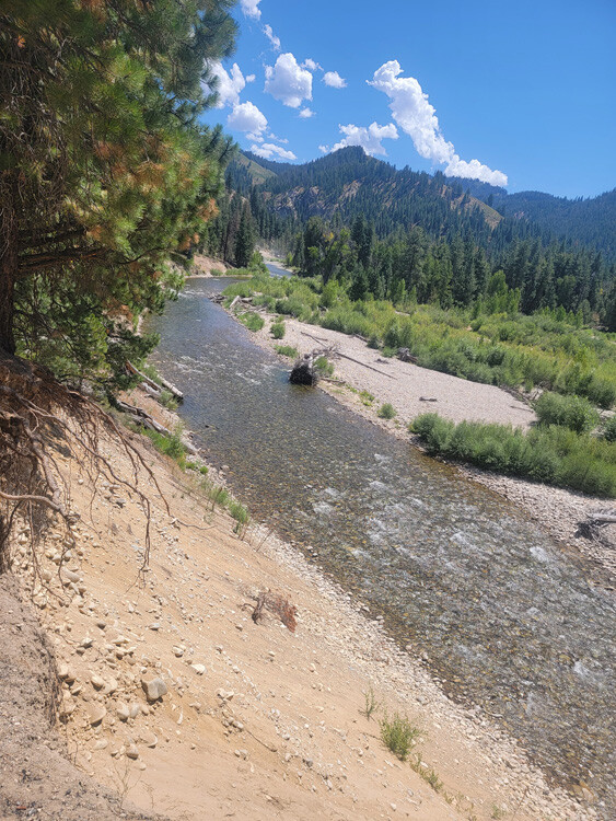
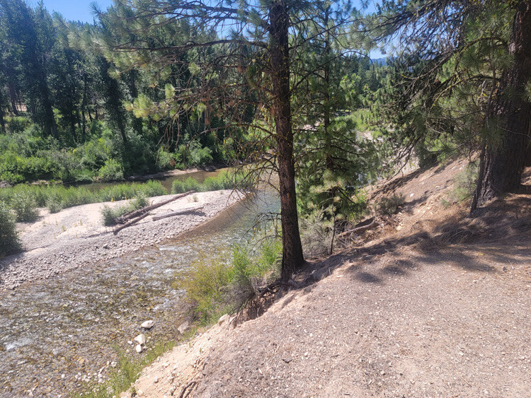
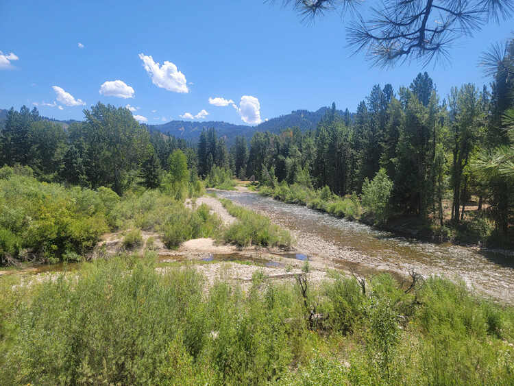
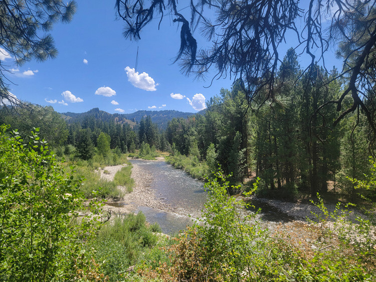
The long awaited “Featherville/Rocky Bar” claims which I have seen a lot of request to get listed. This mining claims are positioned 2 miles upstream from Featherville on the SF Boise River. When taking a visit in Featherville, you may notice the large tailing piles at the Feather River & SF Boise confluence, but you will also see some of the tailings randomly farther west on the SF Boise, as it is a rich riverbed as well. It is pavement all the way into Featherville & a well graded 2 lane gravel NF 227 road (you can access even by car to this mining claim). Huckleberry (Formerly “Island O Gold) – SF Boise is open to dredging based on IDWR permit (see below), it has the north river channel & island (backs of islands are excellent deposit areas), along with large exposed gravel bars.
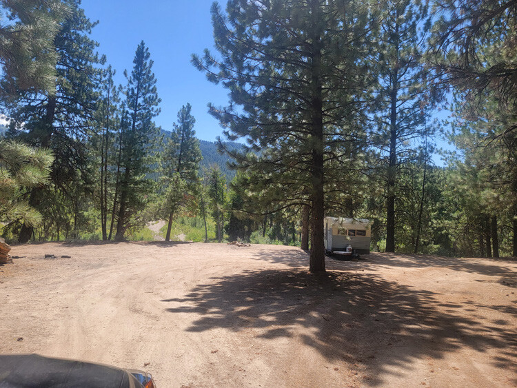
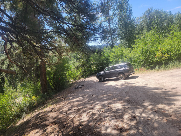
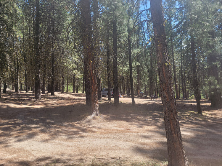
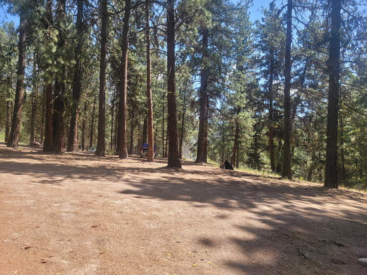
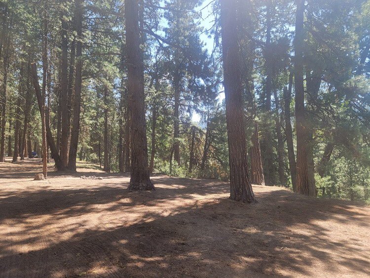
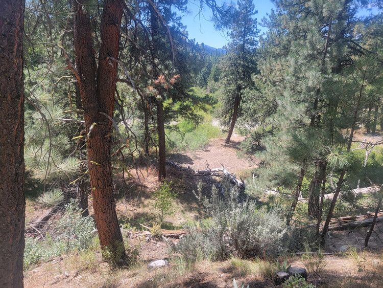
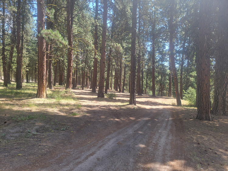
There is ample camping on and around this claim, as well as several hot-springs to soak in (around Pine & Featherville), excellent hunting (seen elk multiple times “on” these claims) & fishing, so these have a wide variety of other recreational activities in the area to enjoy. There are services in both Featherville (2 to west) & Pine (11 to the southwest).
Huckleberry
Price: $3,500
- Acreage: 19.85 acre unpatented placer claim - Large camping areas “on” claim
- River footage: 1450’ of SF Boise River Dredgeable
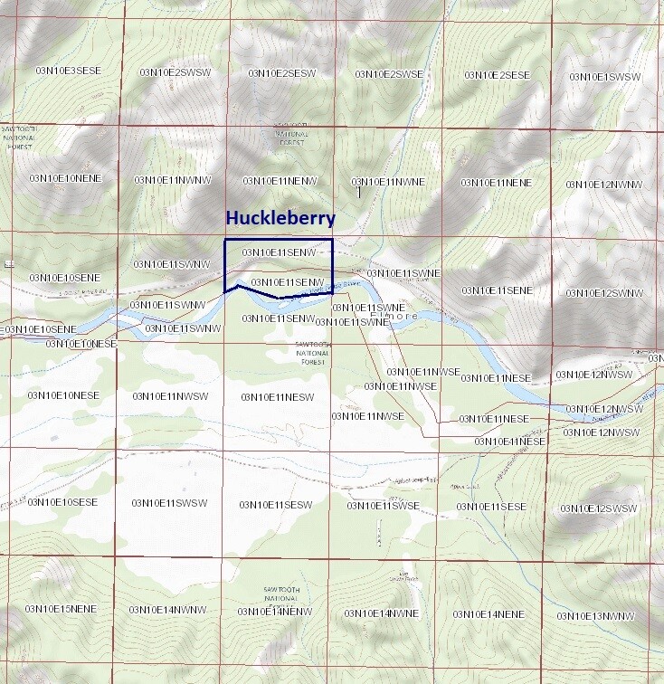
- Location: Elmore County, Township 3N, Range 10E, Sec. 11, NW ¼
- Mining claim serial #: ID105754014d
Map to Claim
Coordinates
Marker Degrees, Minutes, Seconds
NW 43°36’45.3000″N, -115°14’12.1700″W
NE 43°36’45.3000″N, -115°13’54.6300″W
SE 43°36’38.5700″N, -115°13’54.6300″W
4 43°36’37.5700″N, -115°14’04.2300″W
5 43°36’39.0300″N, -115°14’10.9300″W
SW 43°36’38.3900″N, -115°14’12.1700″W
Marker Latitude & Longitude
NW 43.61258’N, -115.23671’W
NE 43.61258’N, -115.23184’W
SE 43.61071’N, -115.23184’W
4 43.61044’N, -115.23451’W
5 43.61084’N, -115.23637’W
SW 43.61066’N, -115.23671’W
Aerial & Topo Images
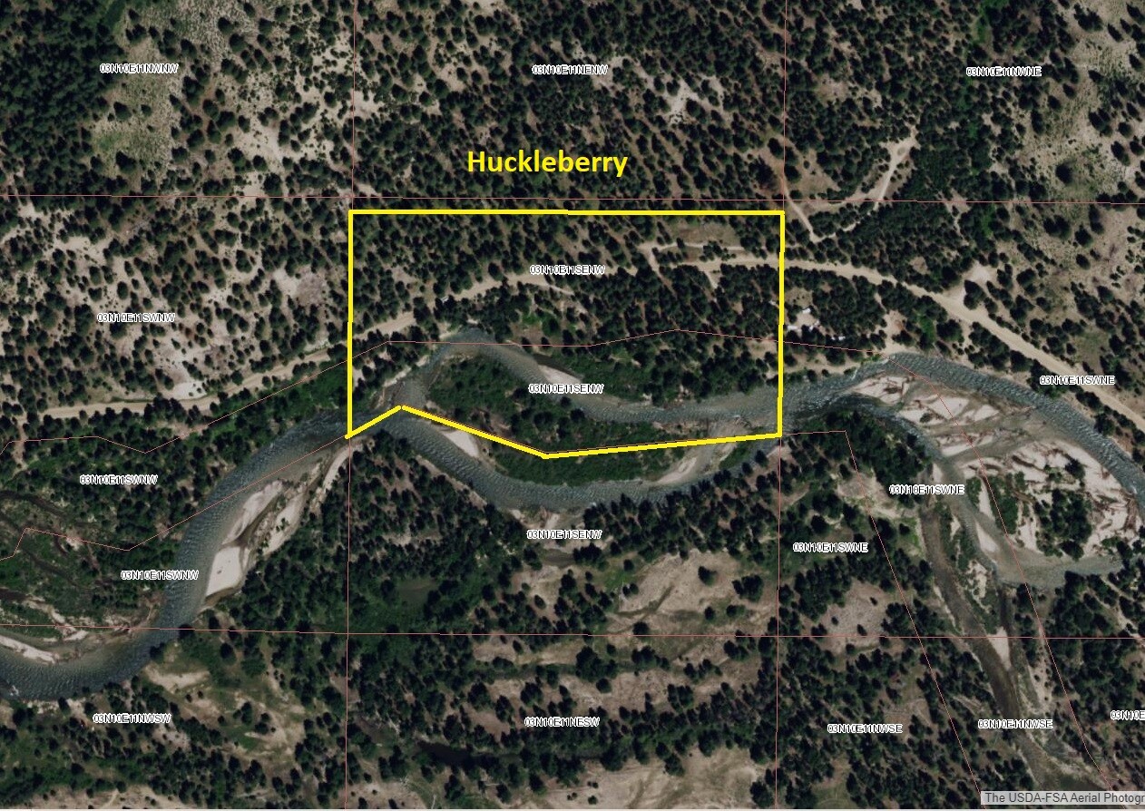
Images
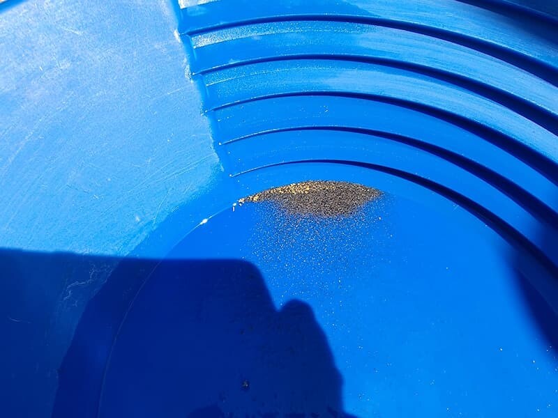
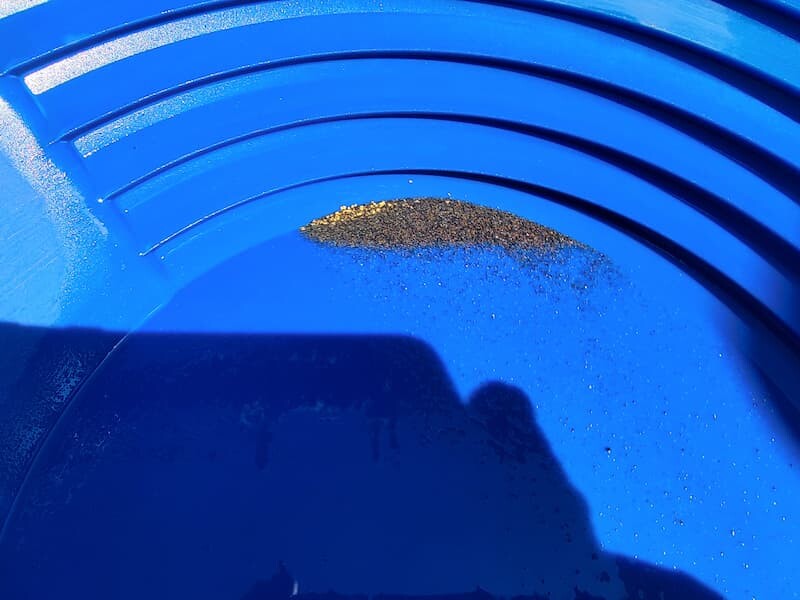
Show Me The Gold
Driving directions from Mountain Home: Take HWY 20 (from I-84 Exit 95), north out of Mountain Home for 31.5 miles. Turn left (north) onto NF 61 (AKA Pine-Featherville Rd, signs for Anderson Ranch) and stay on this road for 30.6 miles (about 2 miles past Featherville) until you reach the Huckleberry mining claim.