Secesh Heavies
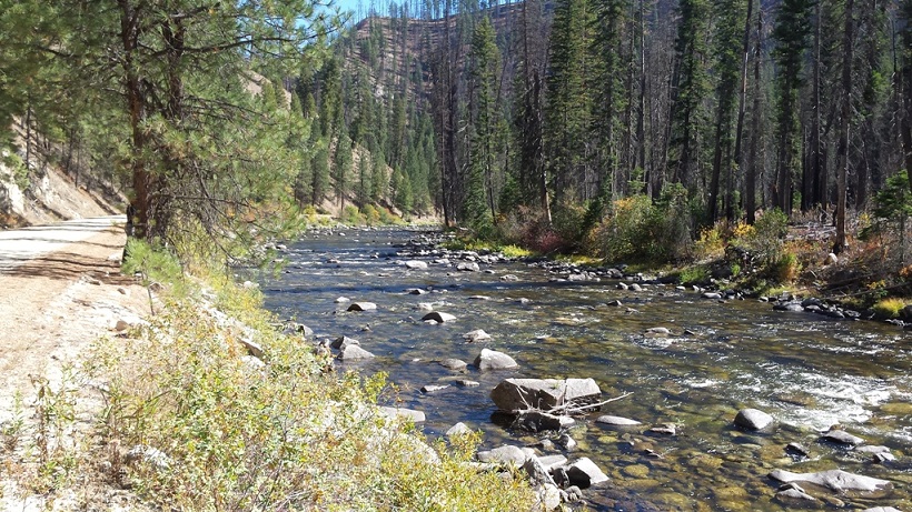
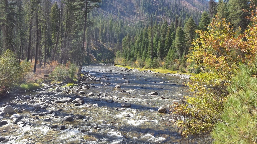
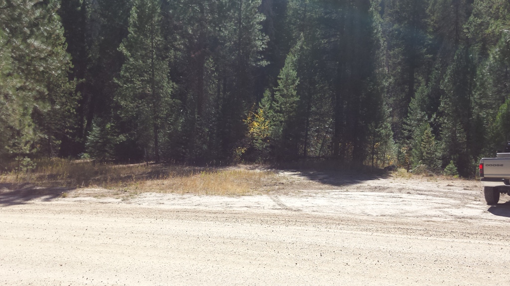
This 20 acre placer mining claim is located on the historic gold bearing Secesh River, northeast of McCall, Idaho. Sits nestled right off well maintained Forest Service Road NF -48, with an amazing camping area directly “on” this claim. The Secesh River holds a rich gold bearing history, from the early discoveries at Miller’s Camp, and through the Secesh Meadows placer deposits upstream of these claims (see more details below). The McCall area is one of Idaho’s most beloved resort/recreation locations. Several mountain lakes with remote terrain for skiing, fishing, hunting, hiking, boating and hot springs which supply plenty of opportunities for fun when you aren’t working your gold claim.
- Acreage: 20 acres
- River footage: 1350’ of the Secesh River
- Placer/lode: placer
- Location: Valley County, Township 20N, Range 6E, Section 33, NW 1/4
- Mining claim serial #: IMC216096
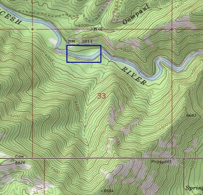
Map to Claim
Coordinates
NW 45.034515’N, -115.735782’W
NE 45.034515’N, -115.730678’W
SE 45.032663’N, -115.730678’W
SW 45.032663’N, -115.735782’W
NW 45°02’04.2540″N, -115°44’08.8152″W
NE 45°02’04.2540″N, -115°43’50.4408″W
SE 45°01’57.5868″N, -115°43’50.4408″W
SW 45°01’57.5868″N, -115°44’08.8152″W
Maps

Images


Overview
Driving Directions from Boise: Take HWY 55 (from State Street aka HWY 44), north out of Boise to McCall (which is approximately 95 miles). In McCall, turn right (east) on Railroad Ave. for about two blocks, then left on Davis Ave. for about ¼ mile, then a right on Lick Creek Road. Stay on Lick Creek road, the name of the road will change to NF-48, which you will stay on for approximately 30.5 miles to the mining claim. Signage is posted on trees, clearly identifying the claim along the river side of the roadway.
