
Secesh Finds
- Acreage: 20
- River footage: 1350' Secesh River
- Placer/lode: placer claim
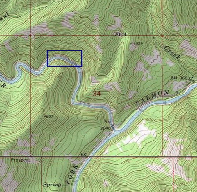
- Location: Valley County, township 20N, range 6E, section 34 NW 1/4
- Mining claim serial #: IMC218815
Map to Claim
Coordinates
NW Corner 45.034515’N, -115.717760’W
NE Corner 45.034515’N, -115.712792’W
SE Corner 45.032719’N, -115.712792’W
SW Corner 45.032719’N, -115.717760’W
Maps

Images


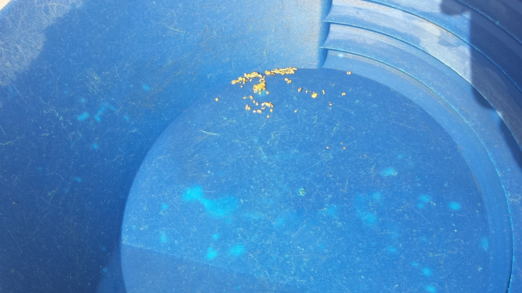
Show Me The Gold
These pictures are of gold collected during sampling of the Secesh River mining claims!


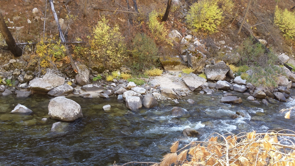
Overview
Driving Directions: Take HWY 55 (from State Street aka HWY 44), north out of Boise to McCall (which is approximately 95 miles). In McCall, turn right (east) on Railroad Ave. for about two blocks, then left on Davis Ave. for about ¼ mile, then a right on Lick Creek Road. Stay on Lick Creek road, the name of the road will change to NF-48, which you will stay on for approximately 31.5 miles to the mining claim. Signage is posted on trees, clearly identifying the claim along the river side of the roadway.
Specific Claim Info: Secesh Finds might lead you to the find of your life! Plenty of Secesh River, room for all your equipment, and the isolation and quiet to get into a good ol’ treasure hunt. Year-round water and supplies a stone’s throw away in McCall. This might be the claim for you!