Price: $2,750
AvailableRough Creek Claim
Overview
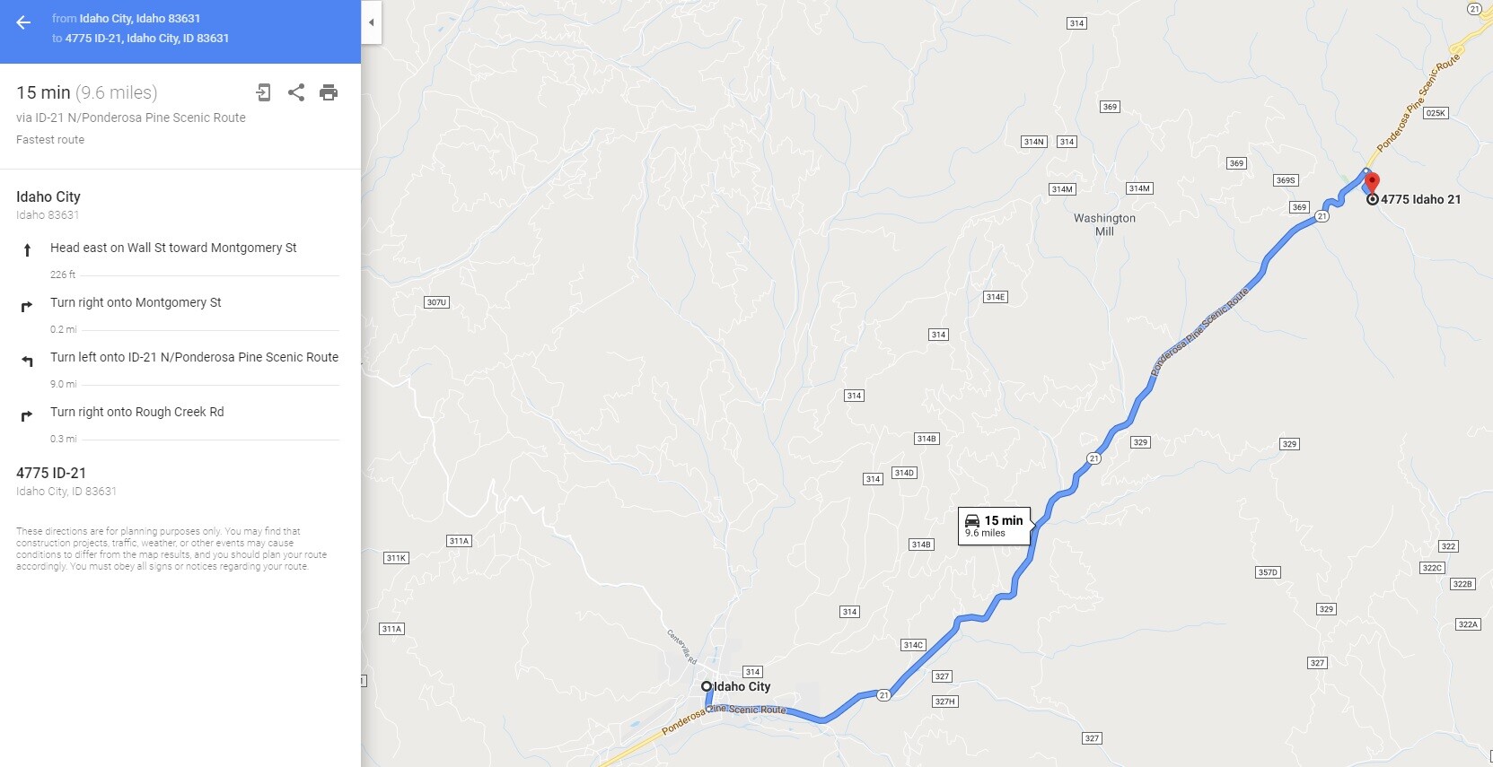
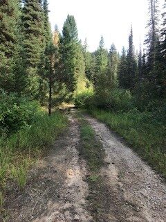
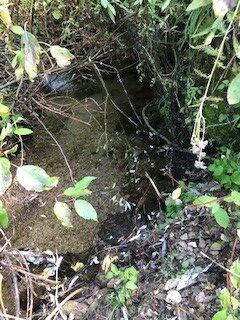
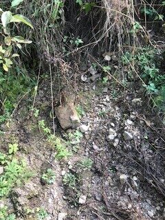
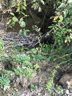
This unpatented placer mining claim is located just outside (9 miles up HWY 21) of historic Idaho City, which is about a 15 minute drive. This is one of the gold bearing drainages of the well sought after Mores Creek. This mine is downstream of the “Timson lode Mine” over the gold bearing vein structure. The lower portion of this drainage abuts the “Ten Mile Campground” with the “Bad Bear Campground” across the HWY from one another, giving many recreational options while visiting the claim. This claim has nice pullouts and camping spot directly “on” the claim. The Forest Service road (NF 317) is just off of HWY 21, but it isn’t well maintained and would strongly recommend a 4WD vehicle. I wouldn’t let the rougher road discourage you, as it does keep a lot of weekend riffraff from venturing into the sites, giving it a more remote appeal, even though it is just a ½ of a mile or so off of the main HWY 21. The creek flows right next to NF 317 for easy foot access, with ample water year-round for doing that amazing gold recovery. Did I mention that Rough Creek is also available for dredging?
RC Finds
Dredging Season
Price: $2,750
- Acreage: 18 acre unpatented placer claim
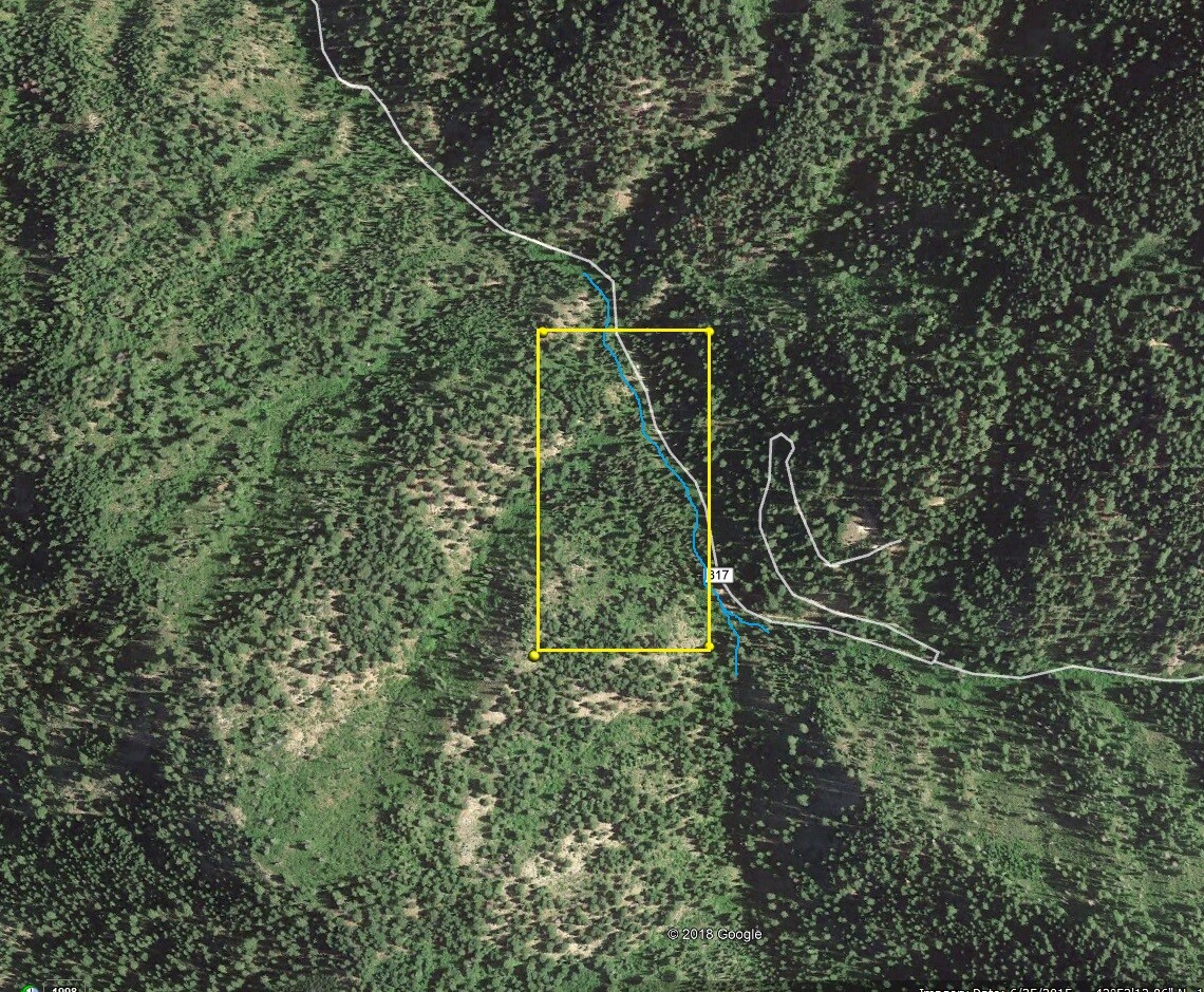
- River footage: 1100’ of Rough Cr - Multiple pullouts, one camping pad
- Unpatented/patented: unpatented
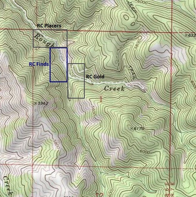
- Location: Boise County, Township 6N, Range 6E, Sec.01, NW ¼
- Mining claim serial #: ID106843601
Map to Claim
Coordinates
NW 43.89101’N, -115.70213’W
NE 43.89101’N, -115.69964’W
SE 43.88761’N, -115.69964’W
SW 43.88761’N, -115.70213’W
NW 43°53’27.6360″N, -115°42’07.6680″W
NE 43°53’27.6360″N, -115°41’58.7040″W
SE 43°53’15.3960″N, -115°41’58.7040″W
SW 43°53’15.3960″N, -115°42’07.6680″W
Aerial & Topo Images
Images
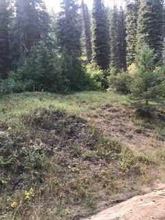
Show Me The Gold
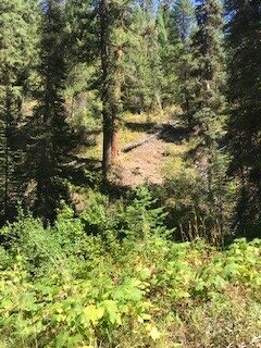
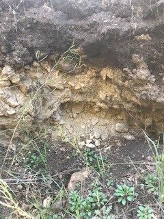
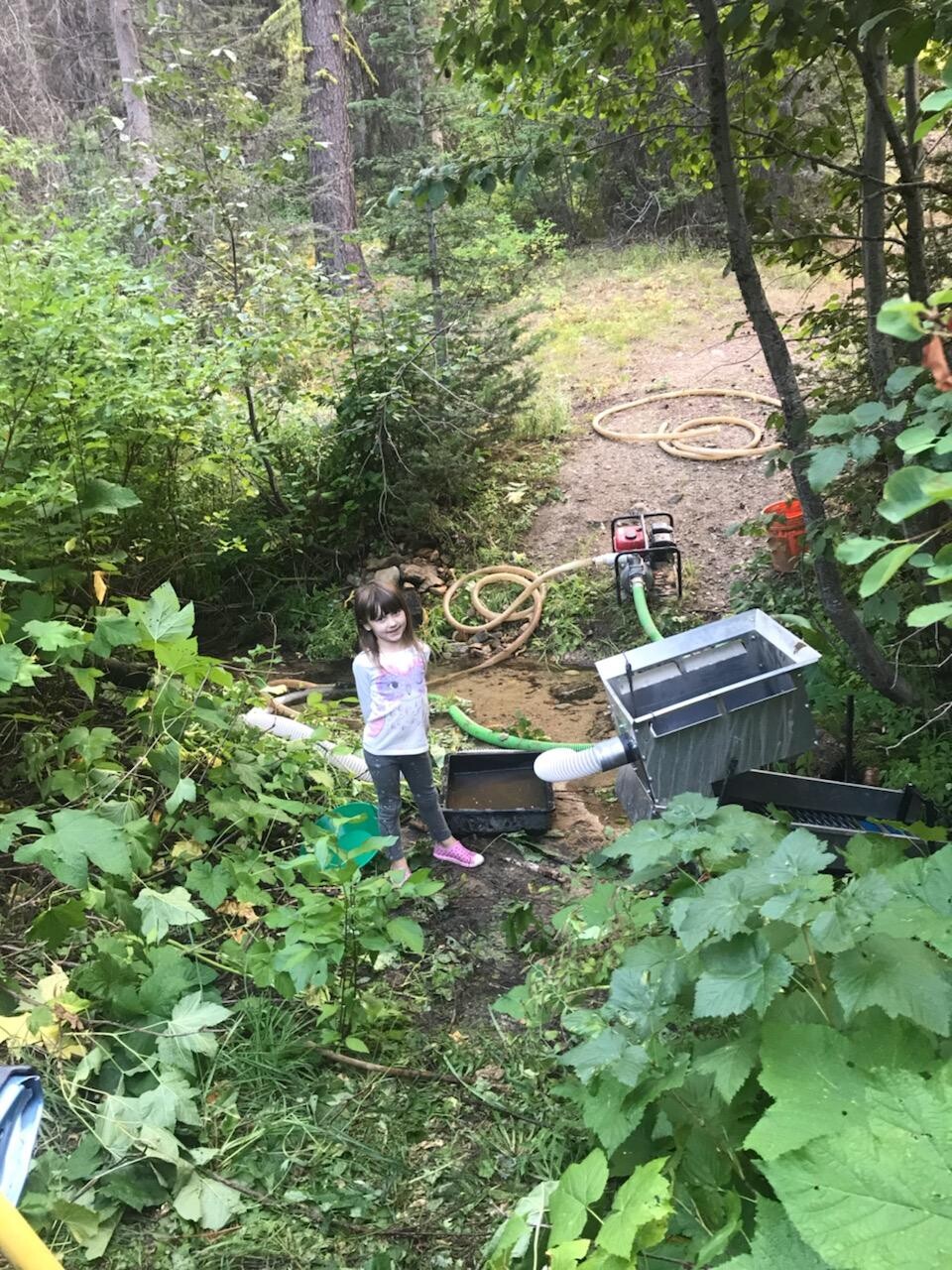
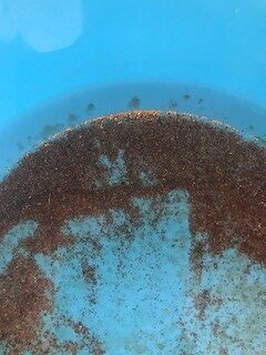
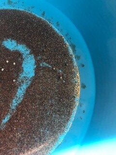
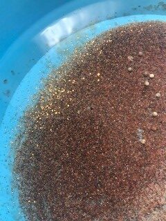
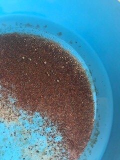
Pictures from running a high-banker for approximately 3 hours only to a depth of about 3 feet deep. With this much color on the surface, no telling the kind of color that is bound to be at bedrock.
Driving Directions: The claims are located 9 miles outside the historic town of Idaho City. Driving directions to the claim: from Boise, travel north on HWY 21 to Idaho City (approximately 34 miles from I-84). Continue on HWY 21 for an additional 9 miles past Idaho City and turn right (east) onto NF 317 road, which is just past the Ten Mile Campground entrance. In about ½ mile up NF 317 road, you will have reached the mining claims. All of the mining claims have been signed along the creek side of NF 317 road to help identify where the mining claims start & end.