Raving Mad
Alder Creek Sold
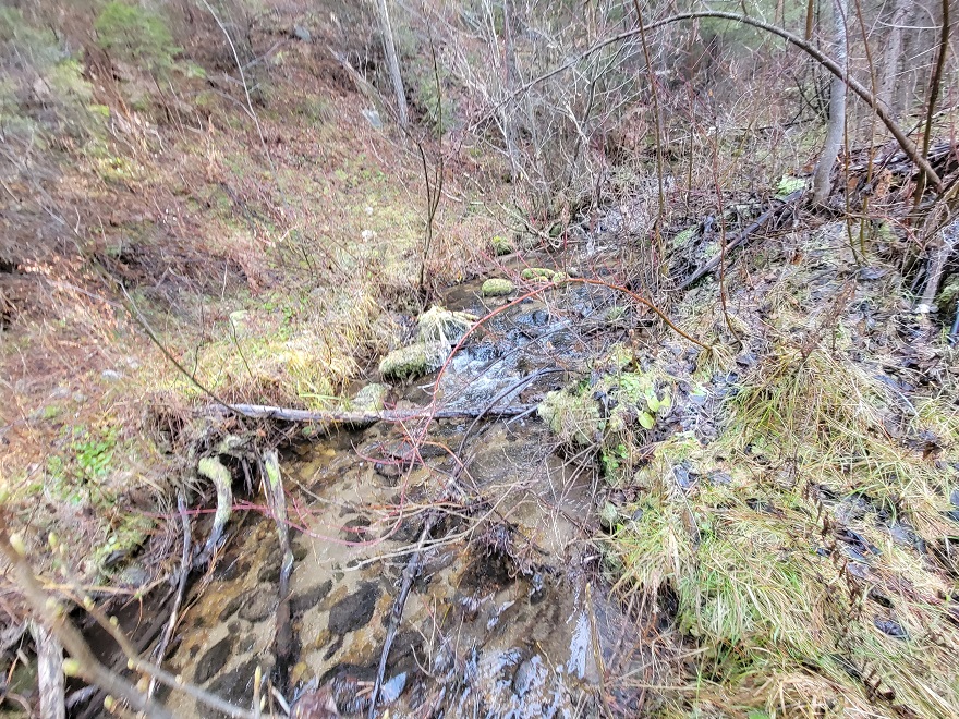
Alder Creek is a unique mining area, accessible in early spring when other areas tend to still be snowed in. Even in heavy snow winters, I have accessed these sites at the beginning of April, giving you an area that could be worked early on in the season. With only being a couple minutes out of Garden Valley (about 4 miles), it has close services and great access into the claim. There are existing mining claims that encompass all up & down Alder Creek (abutting these claims to the north and south), and from the pictures illustrated in “Show me the Gold” (see below) & patented lodes from the geological reports, it’s easy to understand how rich the prospects and potential is in here. I would also note that this has a second gold bearing tributary called West Fork Creek, and there are two roads (on the east and west sides) running along West Fork Creek. There is also a good camping area directly on the claim as well as large pullouts along the Alder Creek Road. Furthermore, there is an older abandoned road which goes down into Alder Creek (from the Alder Creek Road) making transporting equipment in and out pretty easy, yet plenty of vegetation on BOTH West Fork Creek and Alder Creek to be able to have your own seclusion while working your claim.
- Acreage: 20 acre unpatented placer claim
- River footage: 1350’ of Alder Creek and 750’ of gold bearing West Fork Cr - Camping area on access road to West Fork Cr or several large pullouts
- Location: Boise County, Township 8N, Range 4E, Sec. 22 NE ¼
- Mining claim serial #: ID106332624
Map to Claim
Coordinates
Marker Degrees, Minutes, Seconds
NW 44°00’57.9240″N, -115°57’58.8960”W
NE 44°00’57.9240″N, -115°45’39.6360”W
SE 44°00’44.5320″N, -115°45’39.6360”W
SW 44°00’44.5320″N, -115°57’58.8960”W
Marker Latitude & Longitude
NW 44.01609°N, -115.96636°W
NE 44.01609°N, -115.96353°W
SE 44.01237°N, -115.96353°W
SW 44.01237°N, -115.96636°W
Maps


Images


Overview
Show Me The Gold
Driving Directions from Boise: Take HWY 55 (from State Street aka HWY 44), north out of Boise towards McCall. You will stay on HWY 55 for approximately 42 miles, and make a right onto HWY 17 at Banks (heading towards Garden Valley/Lowman). Continue on HWY 17 for approximately 11.5 miles (about a mile past Garden Valley), turning right (south) on the Meadow Creek Rd. (NF 615 aka Alder Creek Rd. that heads to Placerville). In a ¼ mile you will cross the bridge over the SF Payette River. Stay on this for 4.5 miles (from HWY 17), to the mining claim or when you get to the asphalt portion before the bridge (Alder Creek will be on the lefthand side the whole way up, but at this claim is where the road crosses Alder Creek) you will be “on” the mining claim, or when you get over the bridge you will be on the southeast end of the mining claim.
