Rabbit Hole
Sold Claims Sold
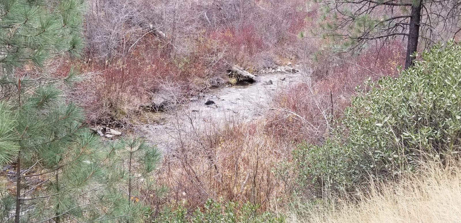
- Acreage: 20 acre unpatented placer claim
- River footage: 1000’ of Rabbit Creek
- Location: Boise County, Township 5N, Range 7E, Sec. 03, SE ¼
- Mining claim serial #: IMC232583
Map to Claim
Coordinates
Marker Degrees, Minutes, Seconds
NW 43°47’32.9640″N, -115°36’33.4800″W
NE 43°47’32.9640″N, -115°36’14.9400″W
SE 43°47’26.3760″N, -115°36’14.9400″W
SW 43°47’26.3760″N, -115°36’33.4800″W
Marker Latitude & Longitude
NW 43.79249’N, -115.60930’W
NE 43.79249’N, -115.60415’W
SE 43.79066’N, -115.60415’W
SW 43.79066’N, -115.60930’W
Maps


Images


Request more Information What's Included with Purchase FAQs