Rabbit Creek
Rabbit Creek Sold
As an added bonus, these Rabbit Creek mining claims have the annual assessment completed to 9/1/2027
Overview
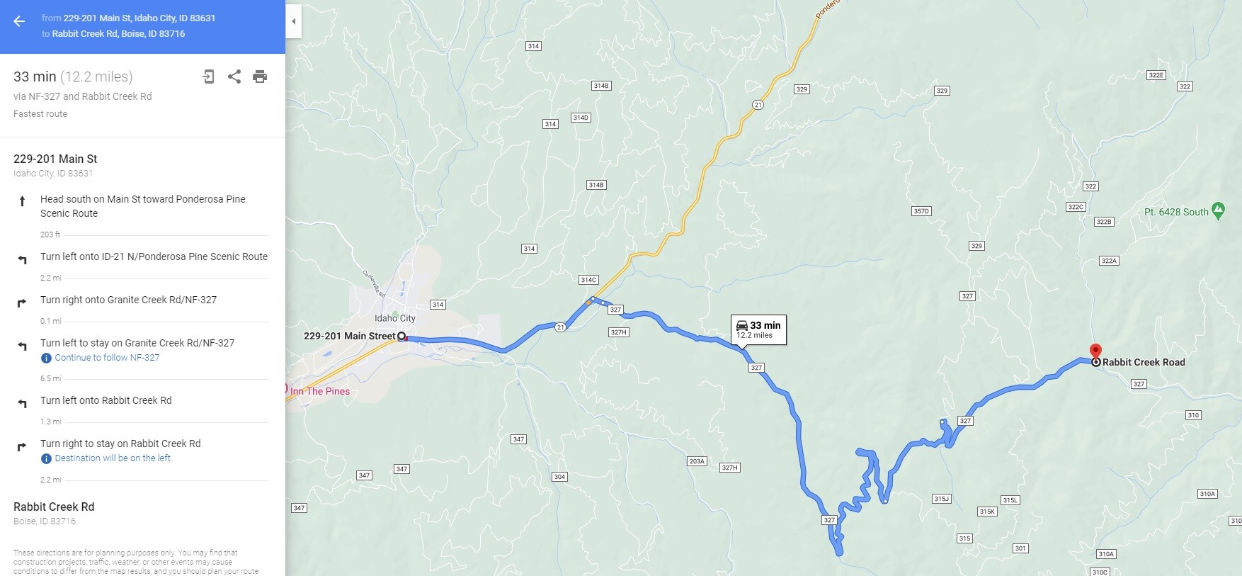
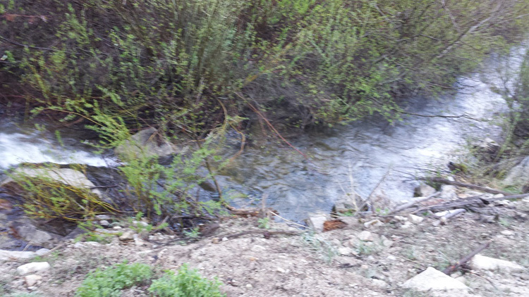
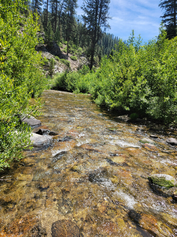
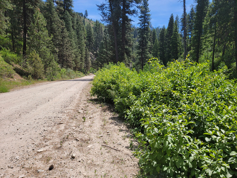
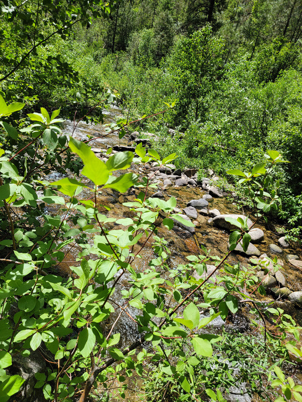
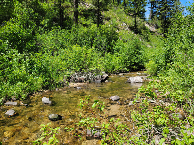
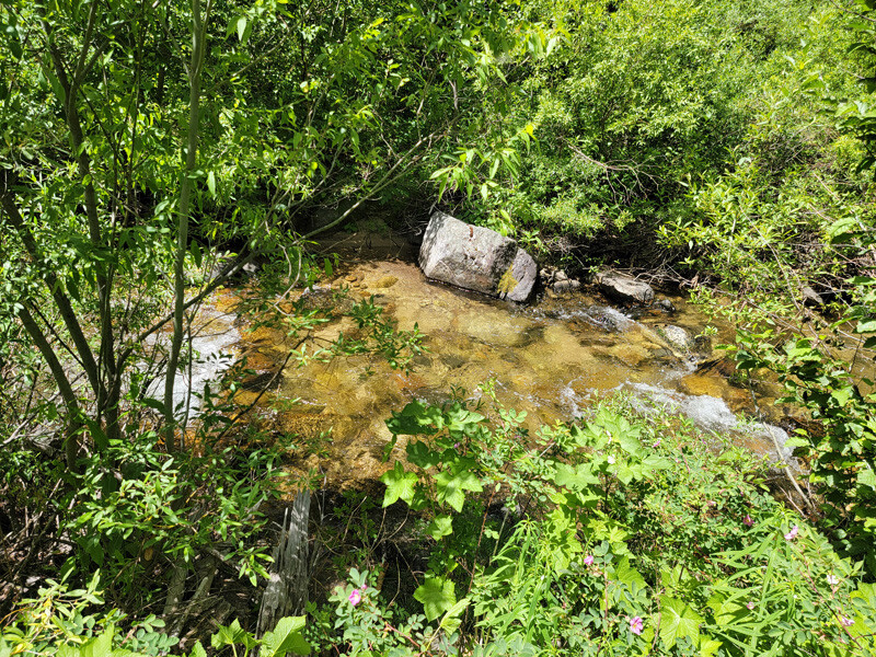
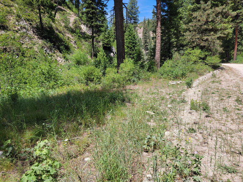
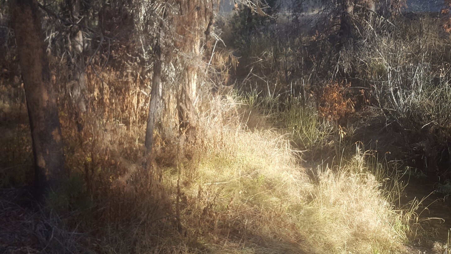
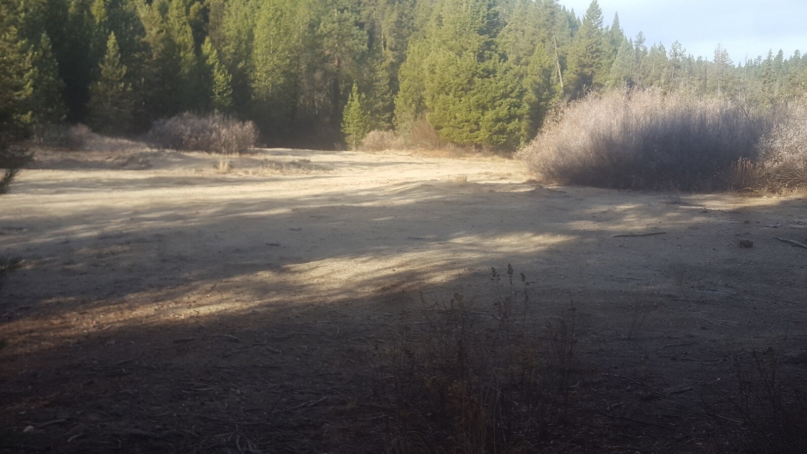
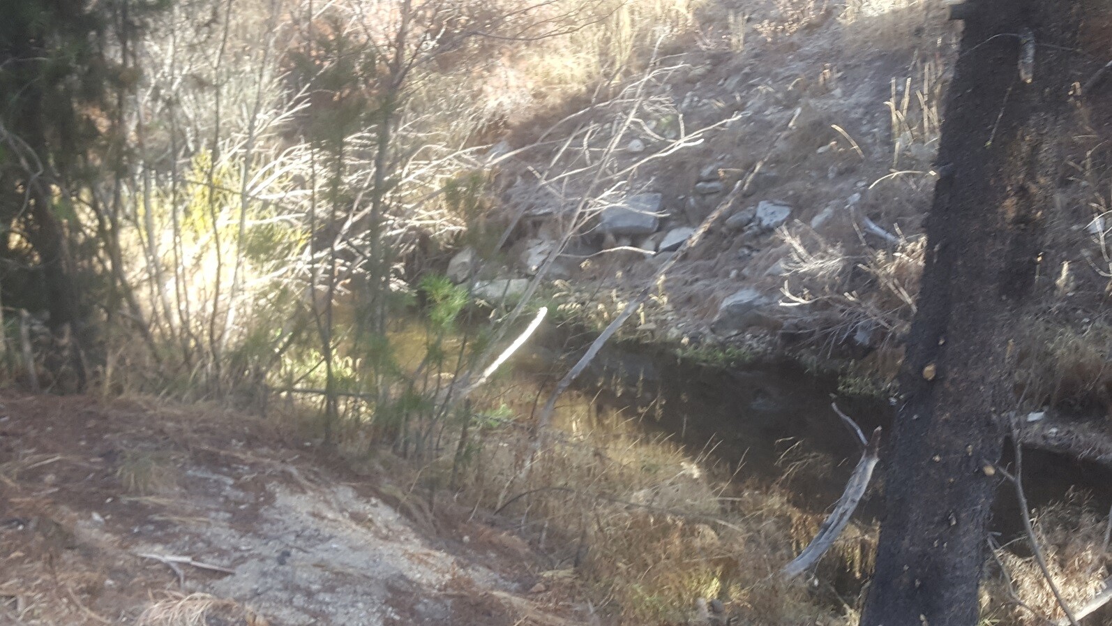
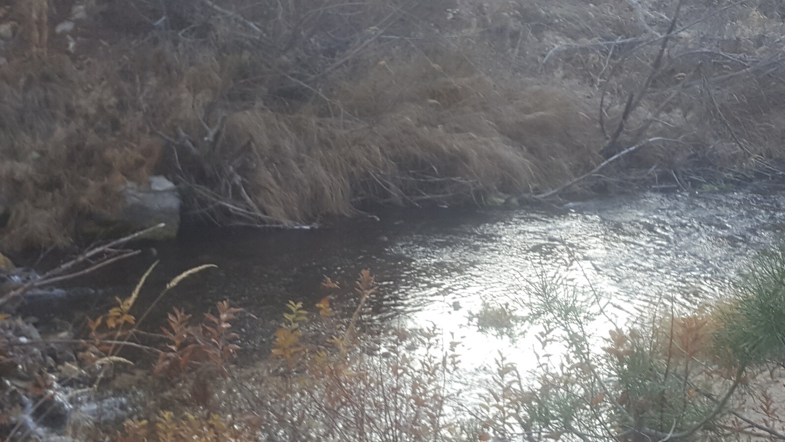
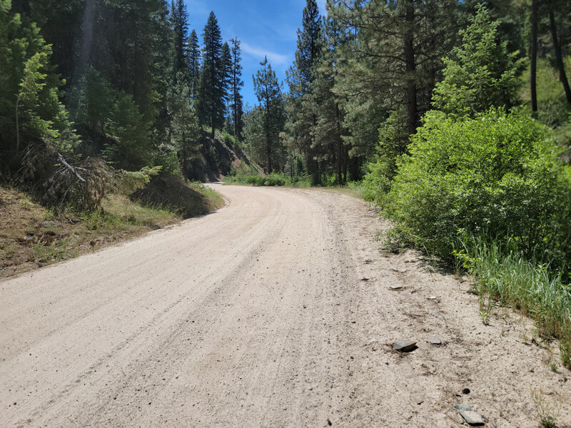
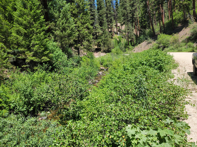
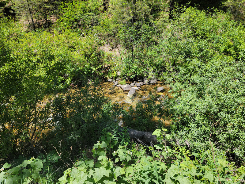
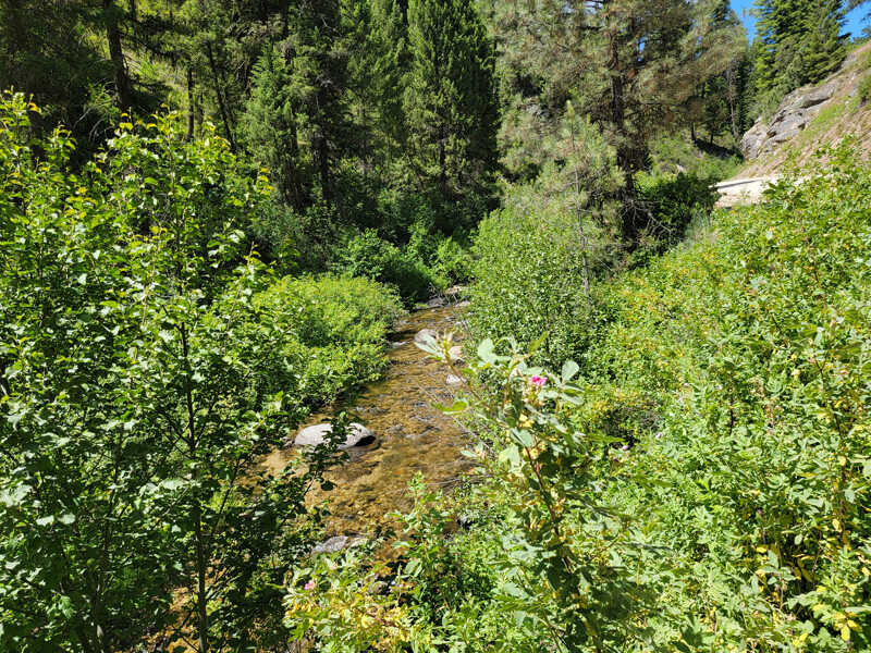
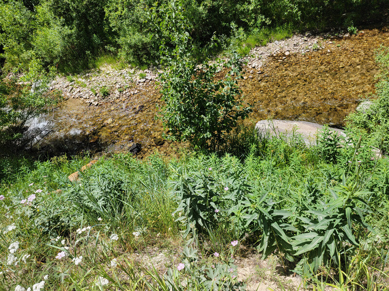
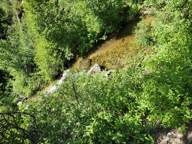
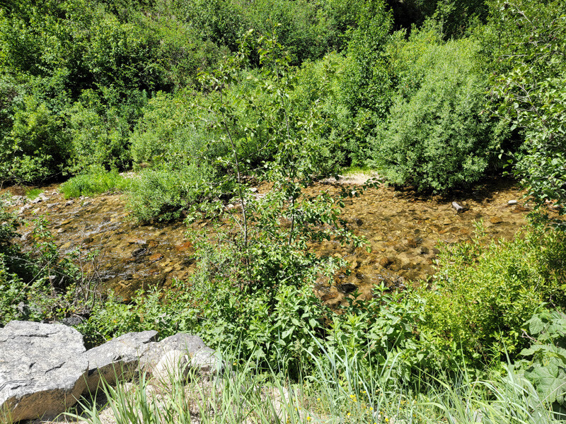
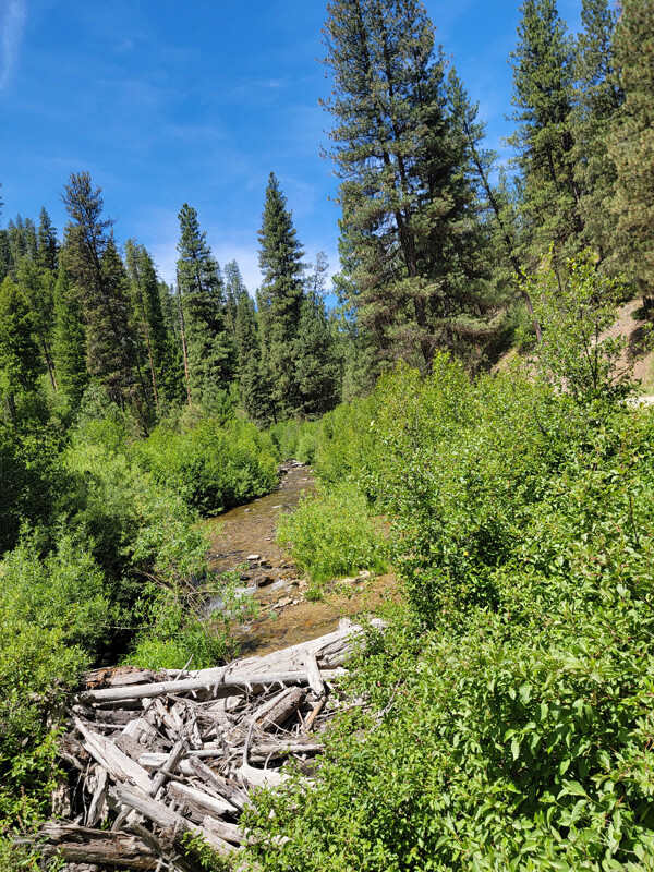
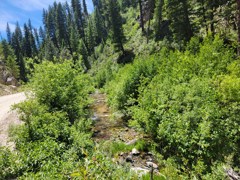
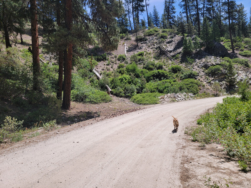
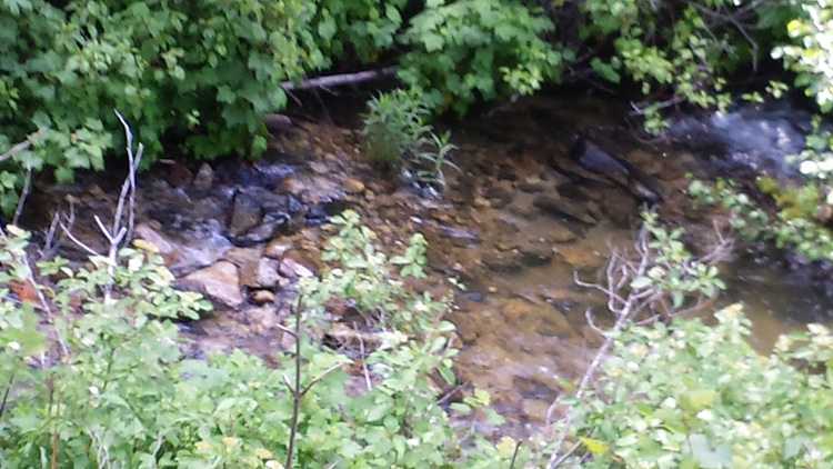
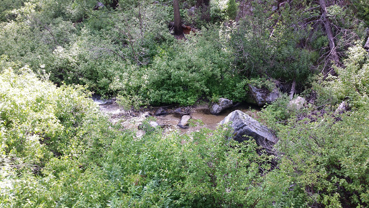
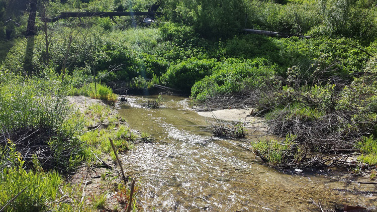
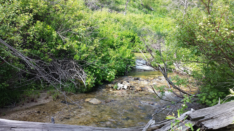
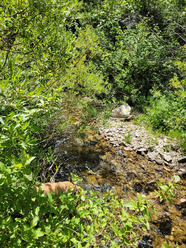
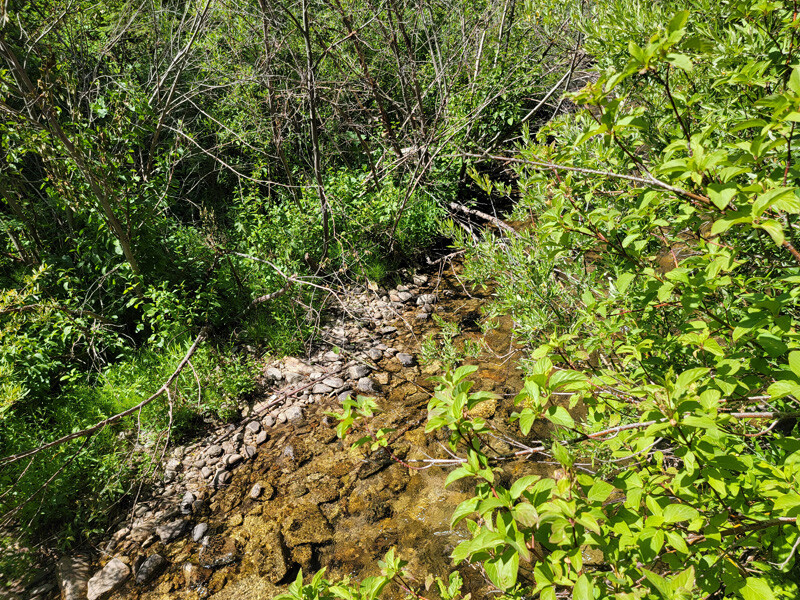
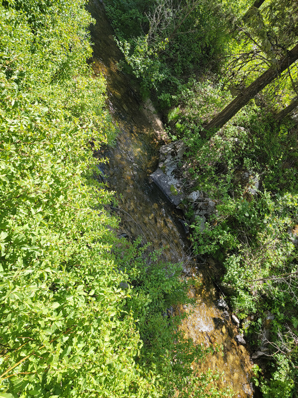
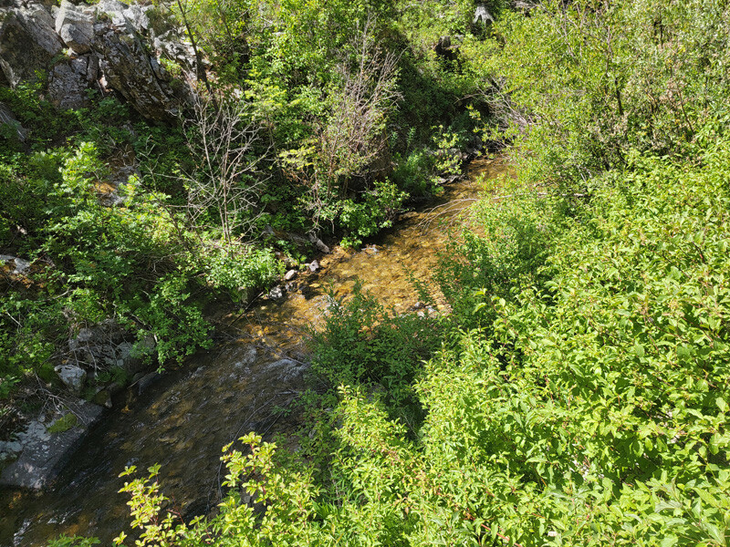
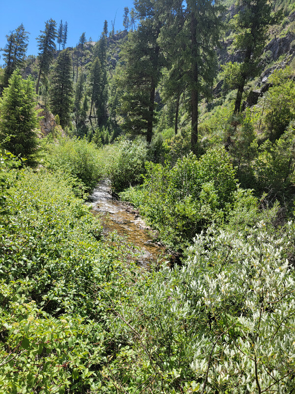
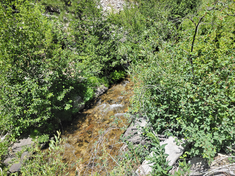
Rabbit Creek is an easy drive, about 12 miles outside the historic gold mining town of Idaho City. Located off the well maintained NF 327, I have accessed these mining claims in a 2WD car. Rabbit Creek has ample water for all kinds of possibilities. There are some old workings on the wide flats upstream of the claims, showing the rich values of deposits in this stream. Along these claims however, there aren’t the stacked rocks and tailings like you would typically see, from an area being gut punched…but with the equipment we have today, lots of working area and potential. Idaho City has full services, which again is only about a 20 to 30 minute drive from these claims. There are existing mining claims that encompass all up & down Rabbit Creek (abutting these claims to the east & west), and from the pictures illustrated in “Show me the Gold” (see below) & reports on the placers from the geological reports, it’s easy to understand how rich the prospects and potential is in here.
Idaho Gold Mining will offer bundle deals of $250 off each additional mining claim purchases.
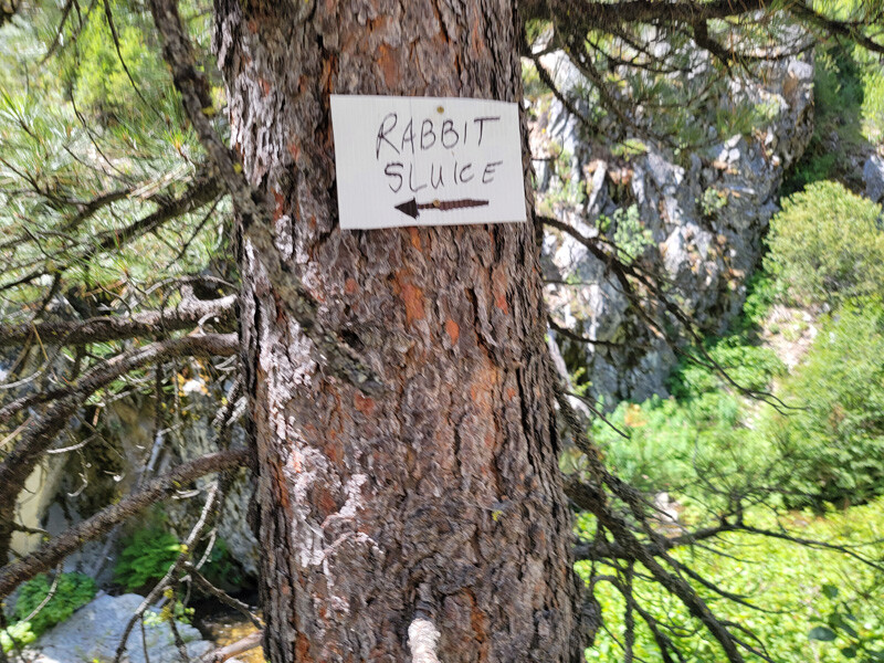
Rabbit Sluice
Sold
Price: $1,500 $1,250
Claim of the Month - Acreage: 10 acre unpatented placer claim
- River footage: 700’ Rabbit Creek
- Location: Boise County, Township 6N, Range 7E, Sec.33, SE ¼
- Mining claim serial #: ID106812255
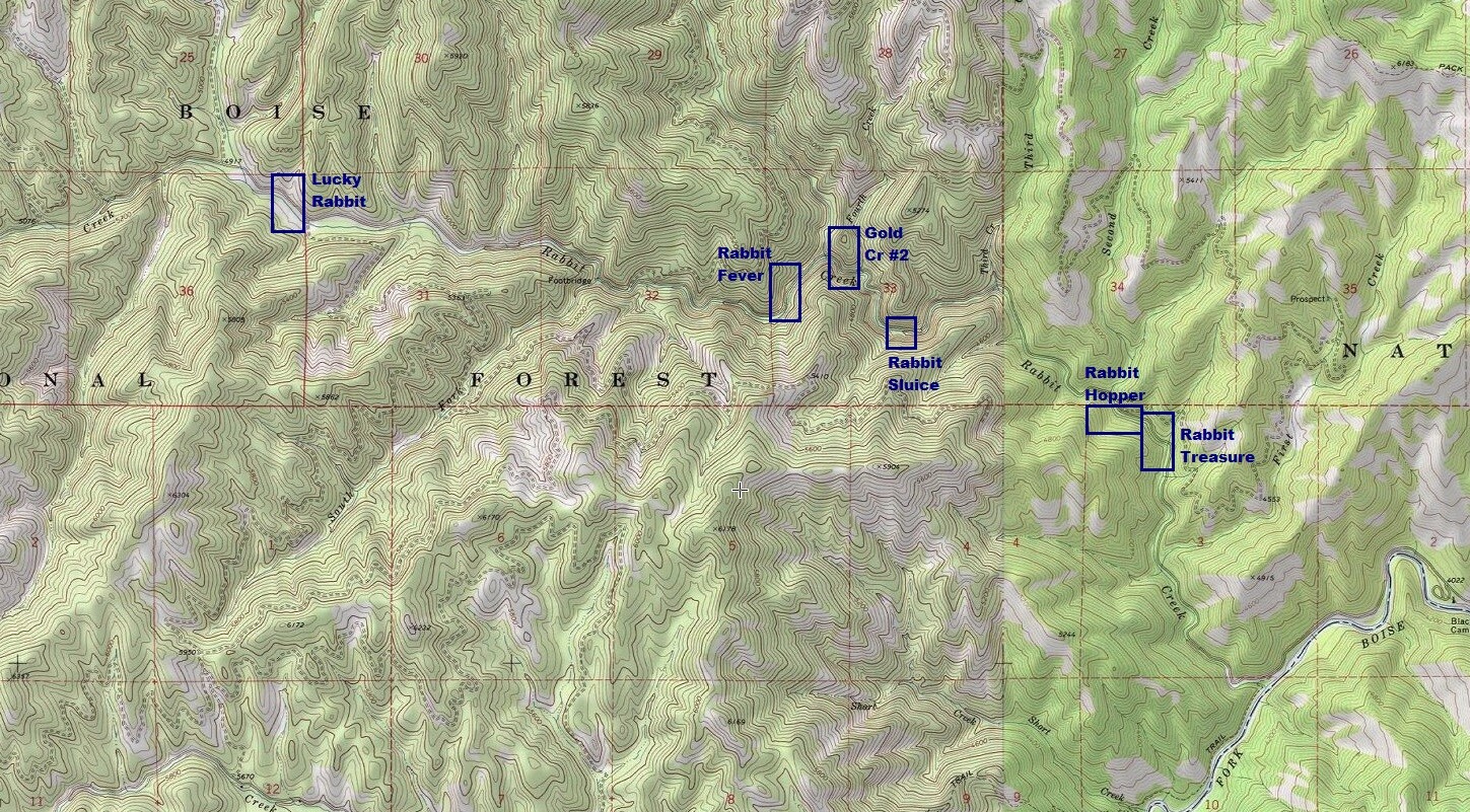
Map to Claim
Coordinates
Marker Latitude & Longitude
NW 43.81262’N, -115.63595’W
NE 43.81262’N, -115.63338’W
SE 43.81086’N, -115.63338’W
SW 43.81086’N, -115.63595’W
Marker Degrees, Minutes, Seconds
NW 43°48’45.4320″N, -115°38’09.4200″W
NE 43°48’45.4320″N, -115°38’00.1680″W
SE 43°48’39.0960″N, -115°38’00.1680″W
SW 43°48’39.0960″N, -115°38’09.4200″W
Driving direction insert **3.7** miles
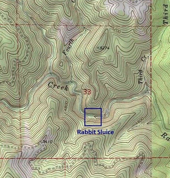
Aerial & Topo Images
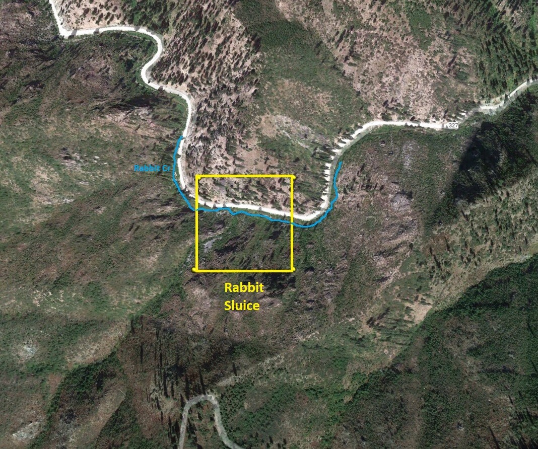
Images
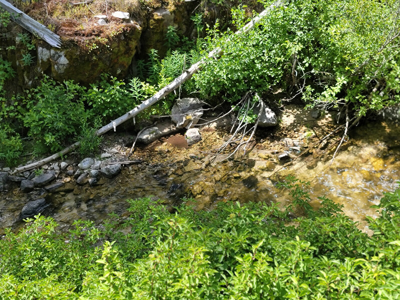
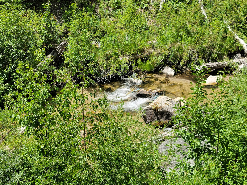
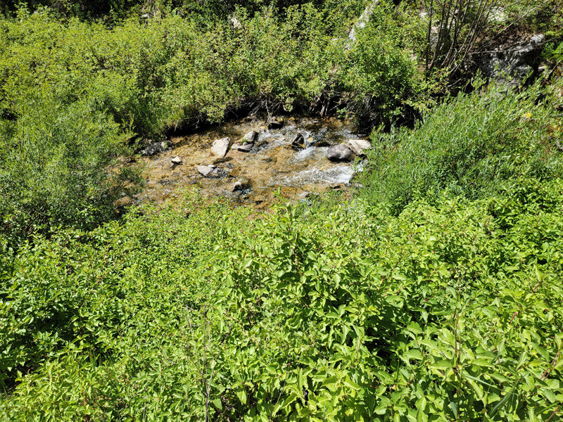
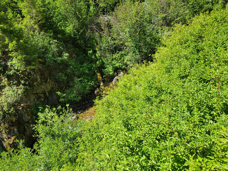
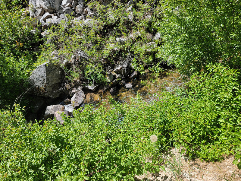
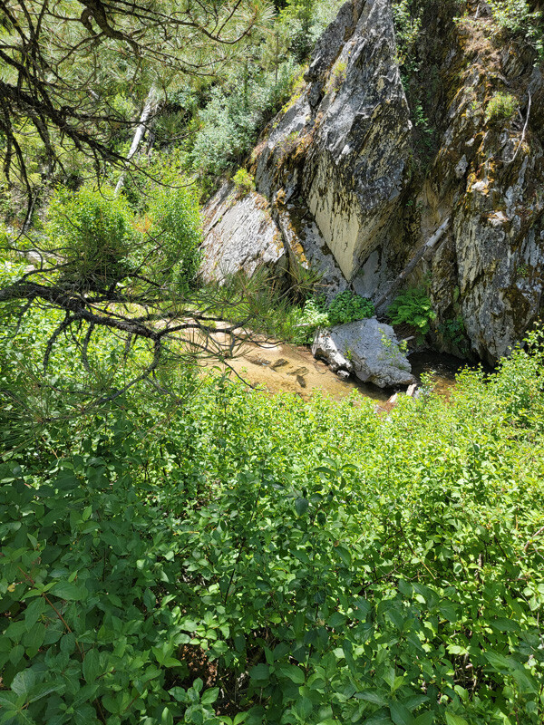
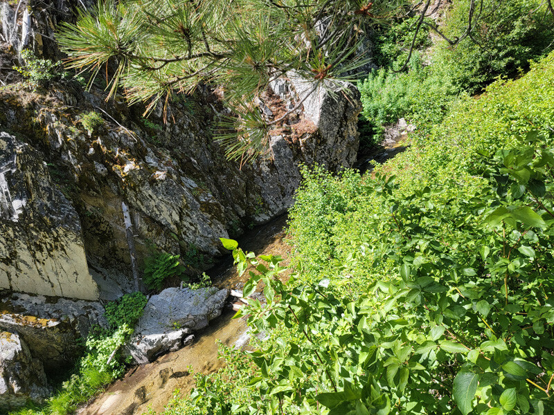
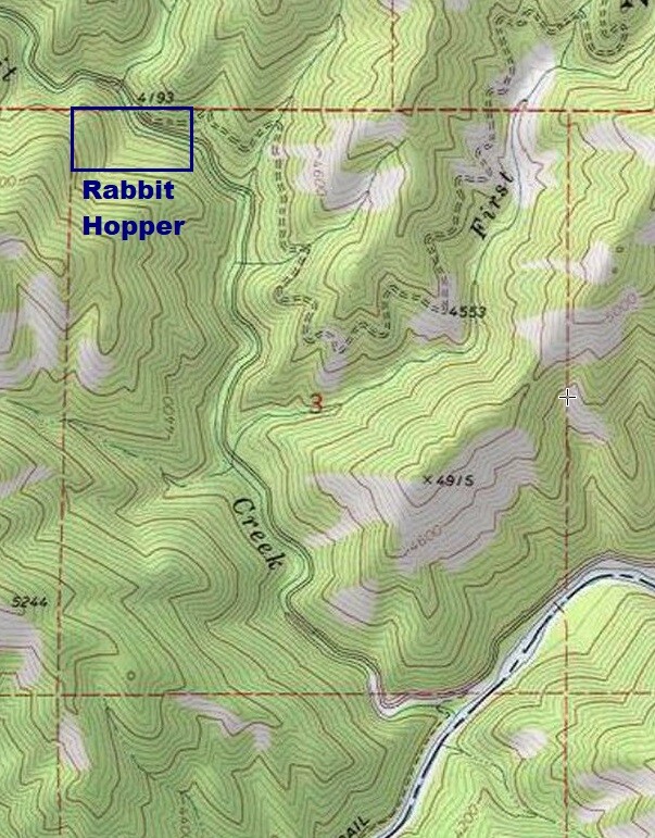
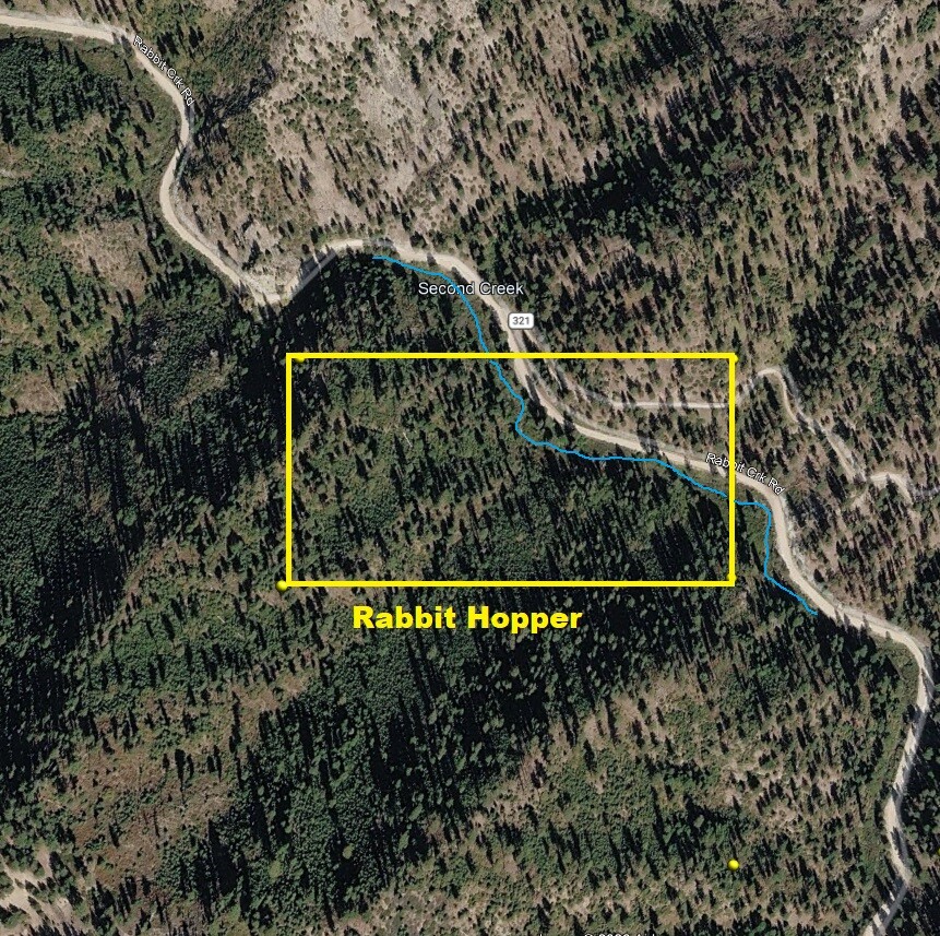
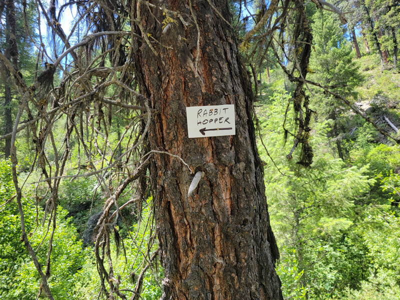
Rabbit Hopper
Sold
- Acreage: 20 acre unpatented placer claim
- River footage: 1050’ of Rabbit Creek - 1 Camping area off road
- Location: Boise County, Township 5N, Range 7E, Sec. 03, NW ¼
- Mining claim serial #: ID106812256
Map to Claim
Coordinates
Marker Degrees, Minutes, Seconds
NW 43°48’26.3880″N, -115°37’08.1120″W
NE 43°48’26.3880″N, -115°36’50.5440″W
SE 43°48’19.9080″N, -115°36’50.5440″W
SE 43°48’19.9080″N, -115°37’08.1120″W
Marker Latitude & Longitude
NW 43.80733’N, -115.61892’W
NE 43.80733’N, -115.61404’W
SE 43.80553’N, -115.61404’W
SW 43.80553’N, -115.61892’W
Driving direction insert **5.1** miles
Aerial & Topo Images
Images
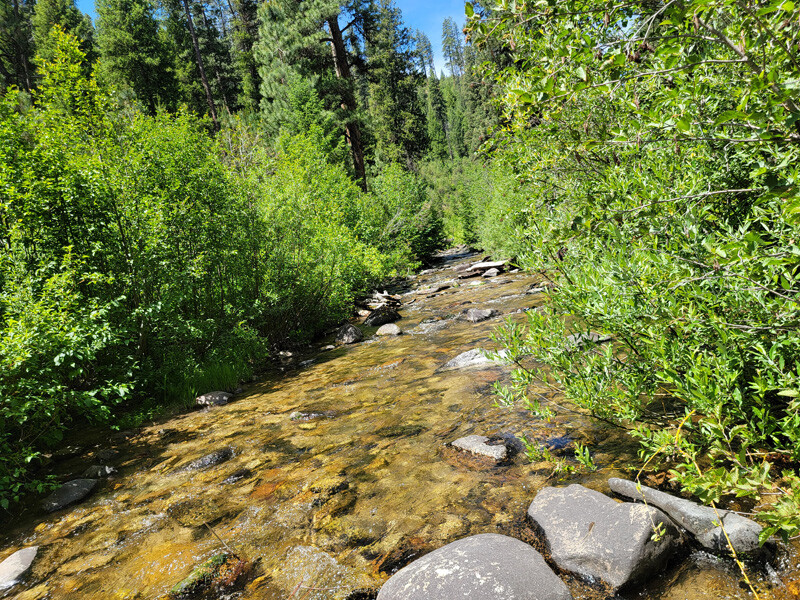
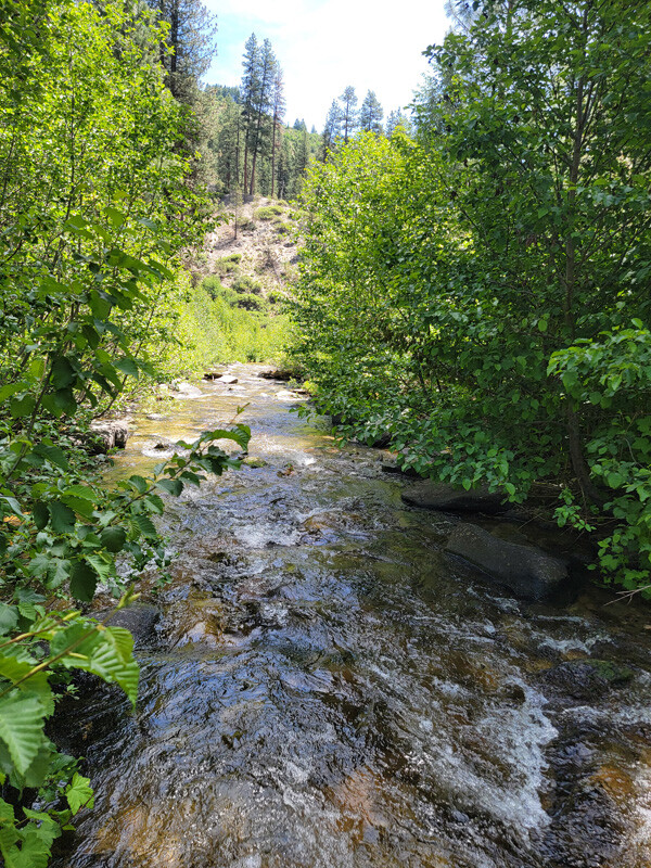
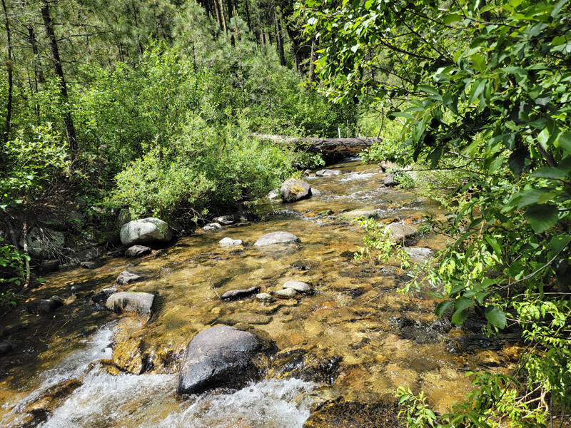
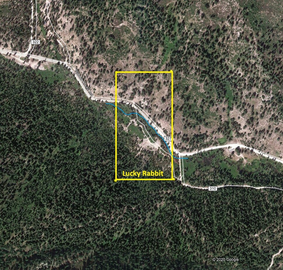
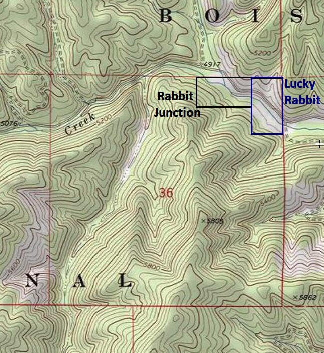
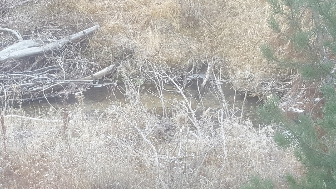
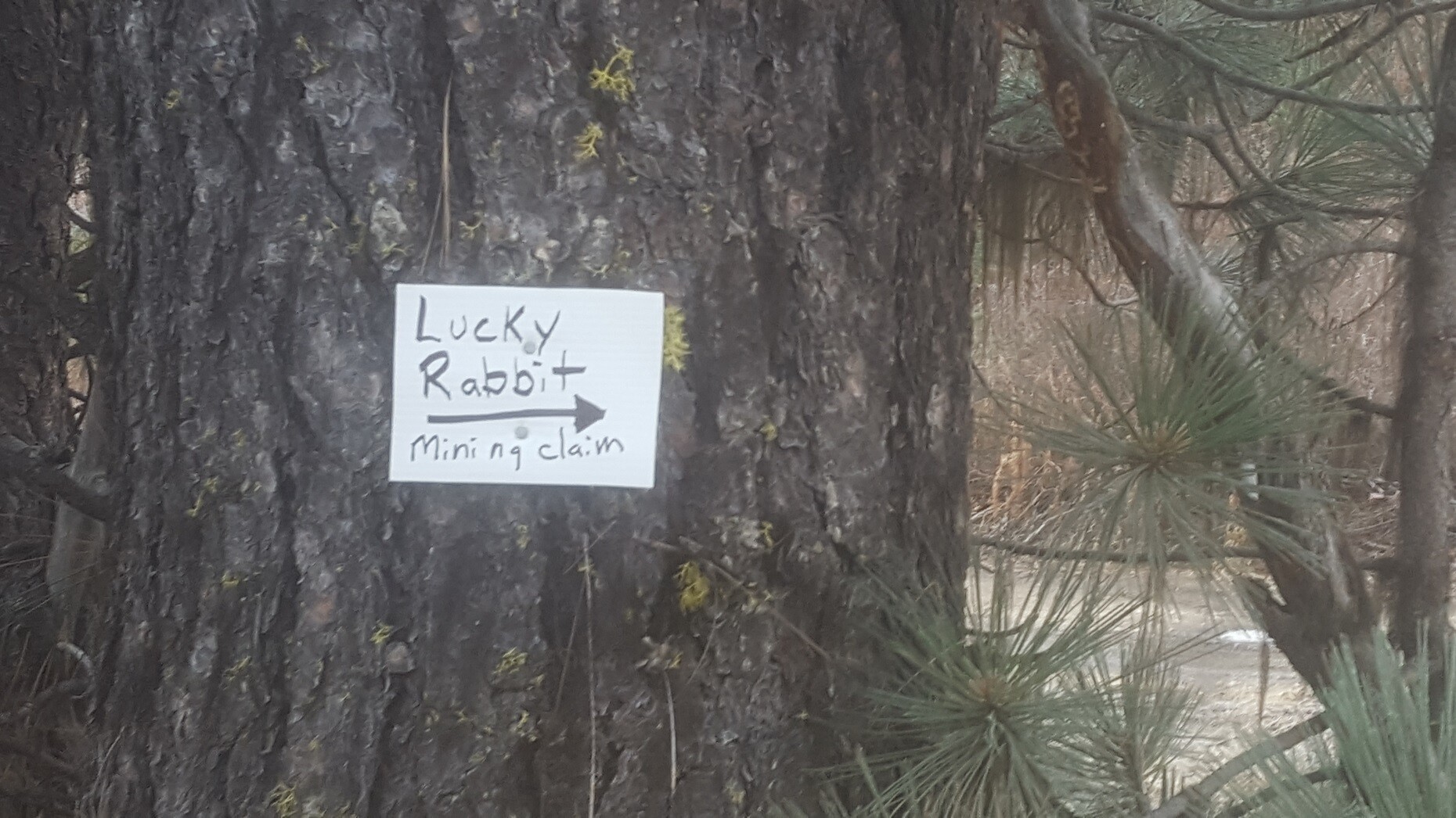
Lucky Rabbit
Sold
- Acreage: 20 acre unpatented placer claim
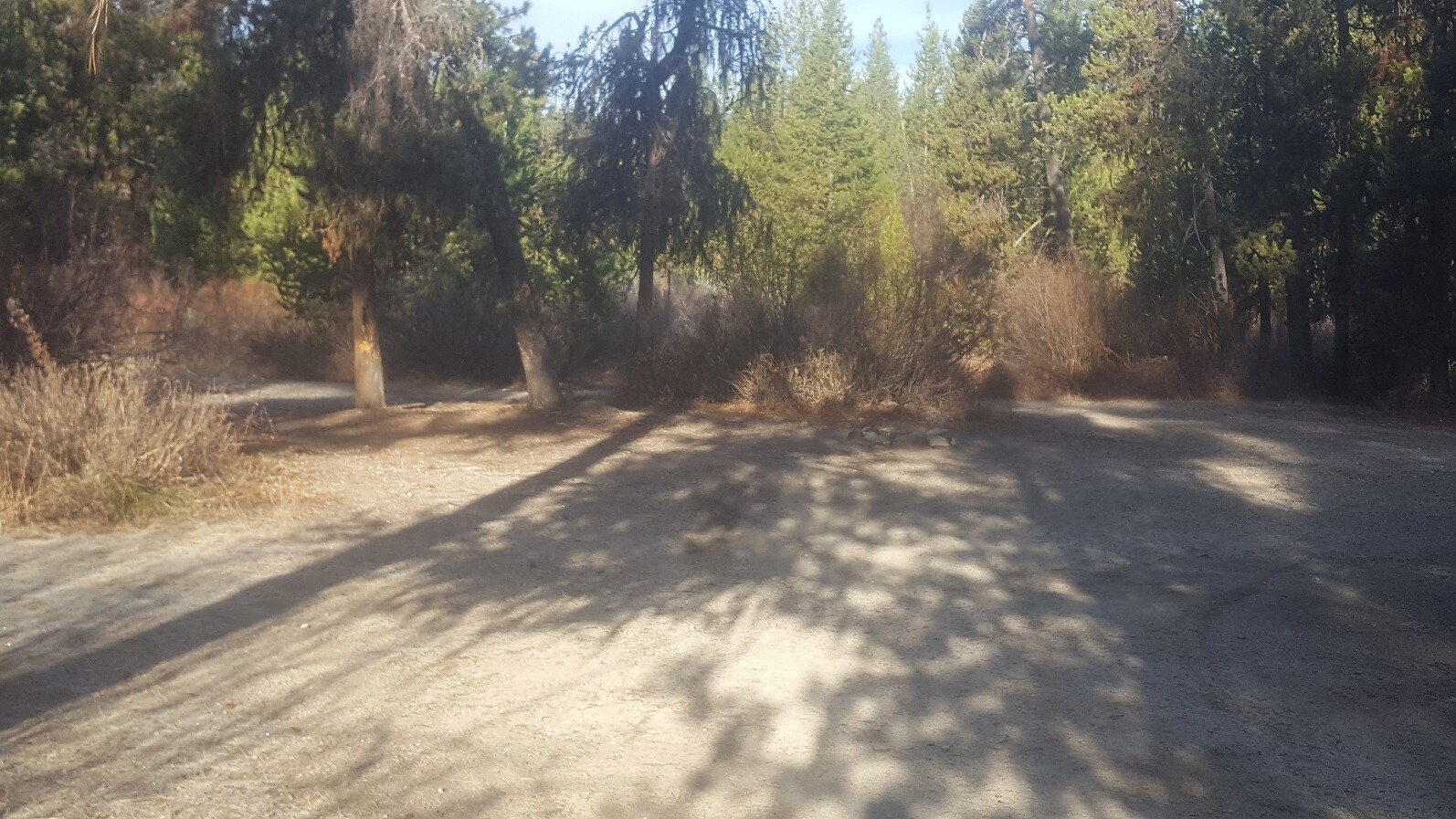
- River footage: 1100’ of Rabbit Creek - 3 large camping areas on claim
- Location: Boise County, Township 6N, Range 6E, Sec. 36 NE ¼
- Mining claim serial #: ID106812252
Map to Claim
Coordinates
Marker Degrees, Minutes, Seconds
NW 43°49’17.1120″N, -115°41’15.6120″W
NE 43°49’17.1120″N, -115°41’06.1800″W
SE 43°49’03.9360″N, -115°41’06.1800″W
SW 43°49’03.9360″N, -115°41’15.6120″W
Marker Latitude & Longitude
NW 43.82142’N, -115.68767’W
NE 43.82142’N, -115.68505’W
SE 43.81776’N, -115.68505’W
SW 43.81776’N, -115.68767’W
Driving direction insert **0.2** of mile
Aerial & Topo Images
Images
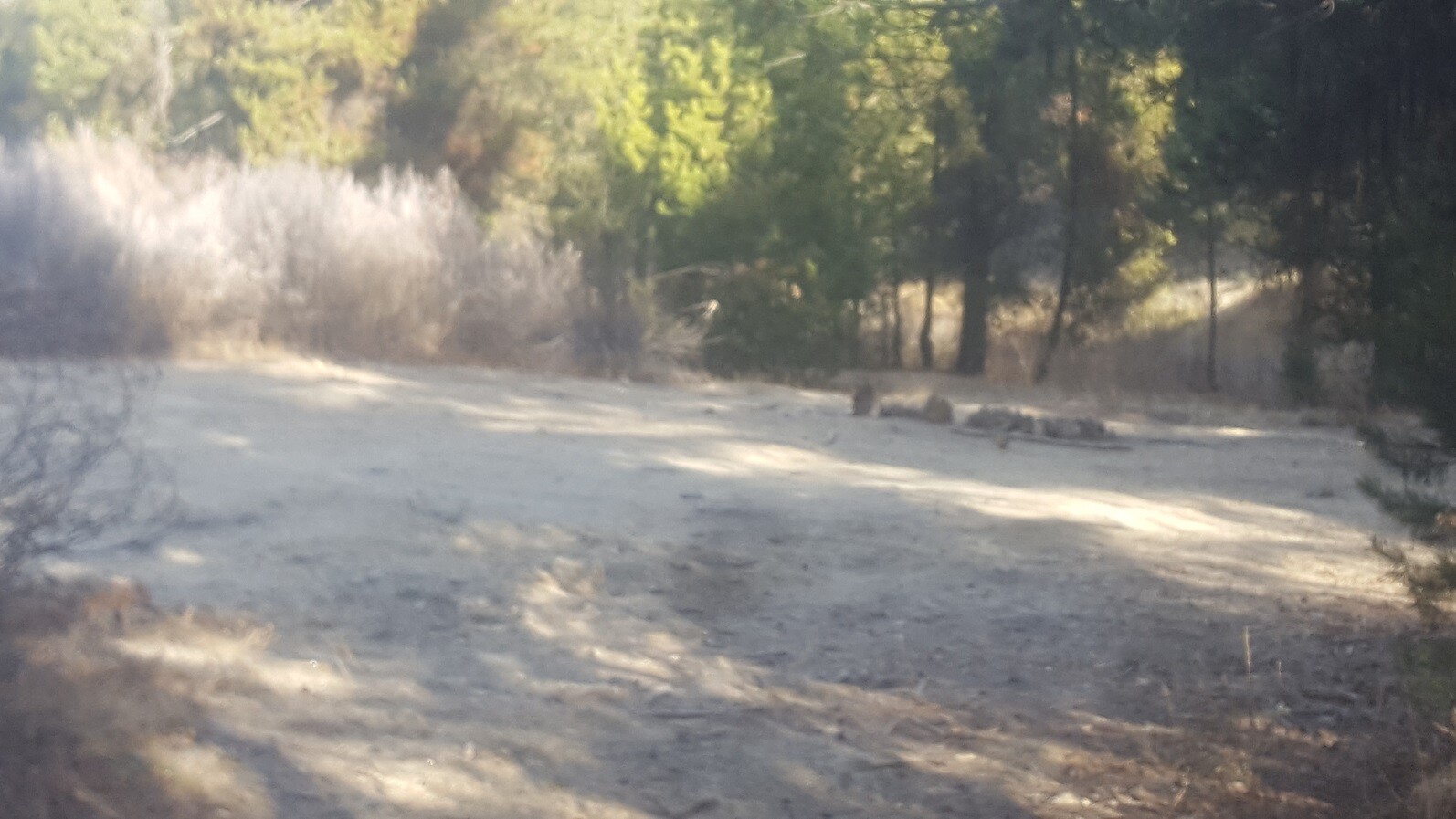
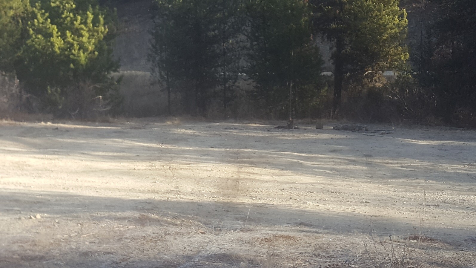
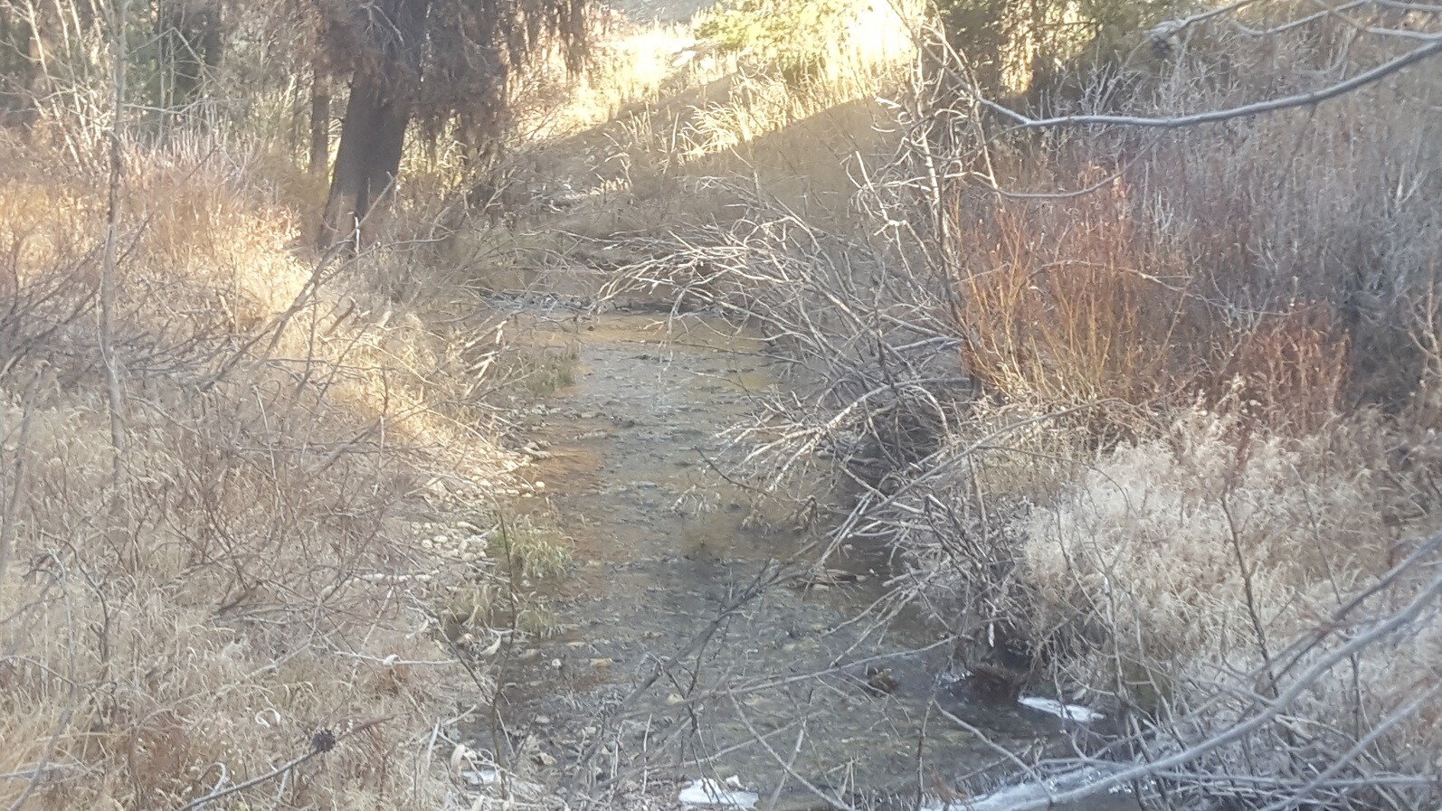
Rabbit Treasure
Sold
- Acreage: 20 acre unpatented placer claim
- River footage: 1475’ of Rabbit Creek - Flat area to make camping area
- Location: Boise County, Township 5N, Range 7E, Sec. 03, NW ¼
- Mining claim serial #: ID106812257
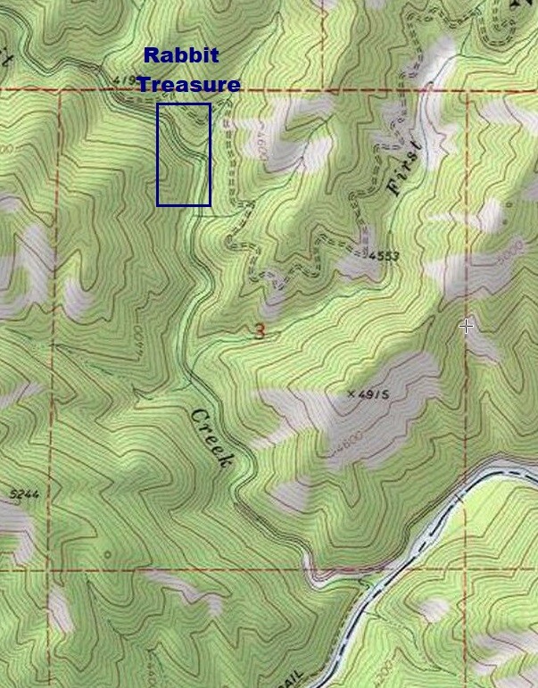
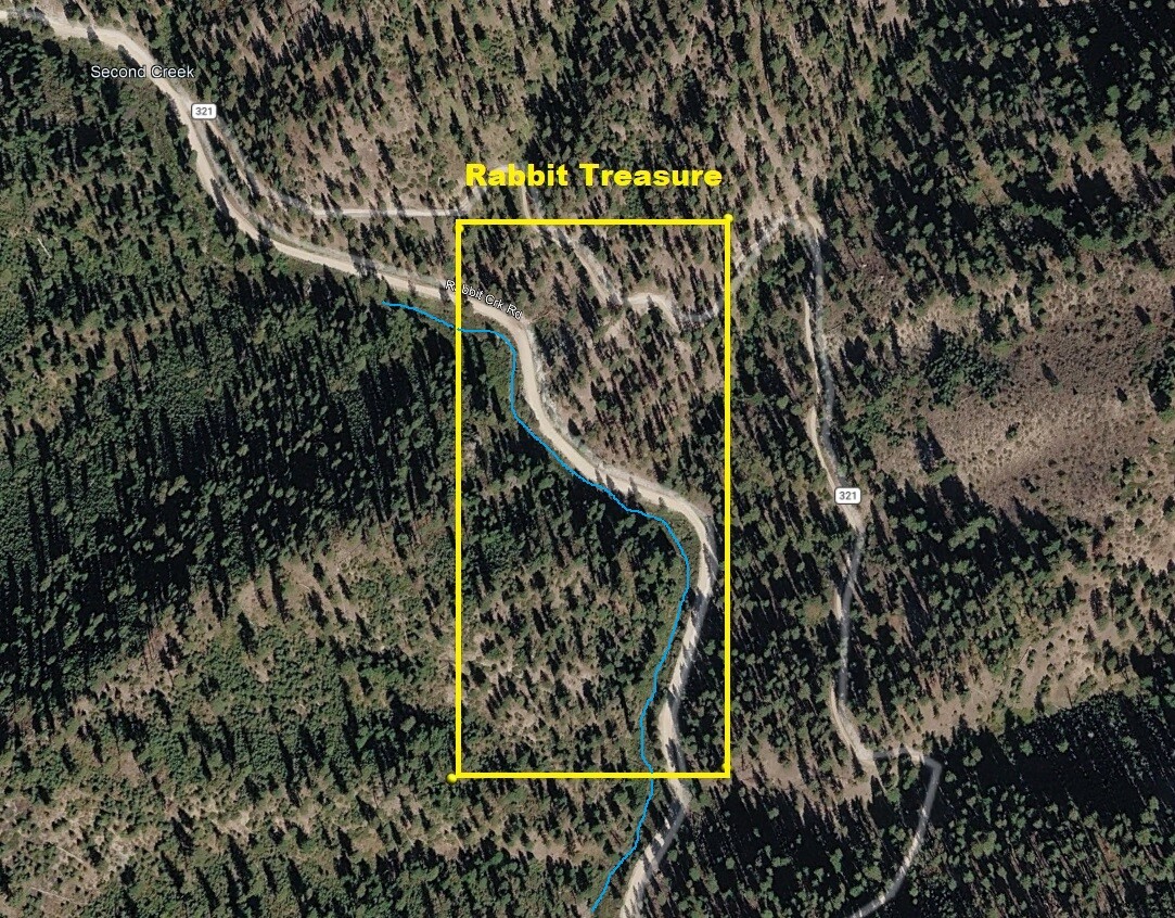
Map to Claim
Coordinates
Marker Degrees, Minutes, Seconds
NW 43°48’24.6960″N, -115°36’50.5440″W
NE 43°48’24.6960″N, -115°36’41.5440″W
SE 43°48’11.5560″N, -115°36’41.5440″W
SW 43°48’11.5560″N, -115°36’50.5440″W
Marker Latitude & Longitude
NW 43.80686’N, -115.61404’W
NE 43.80686’N, -115.61154’W
SE 43.80321’N, -115.61154’W
SW 43.80321’N, -115.61404’W
Driving direction insert **5.2** miles
Aerial & Topo Images
Images
Rabbit Fever
Sold
- Acreage: 20 acre unpatented placer claim
- River footage: 1200’ Rabbit Creek
- Unpatented/patented: unpatented
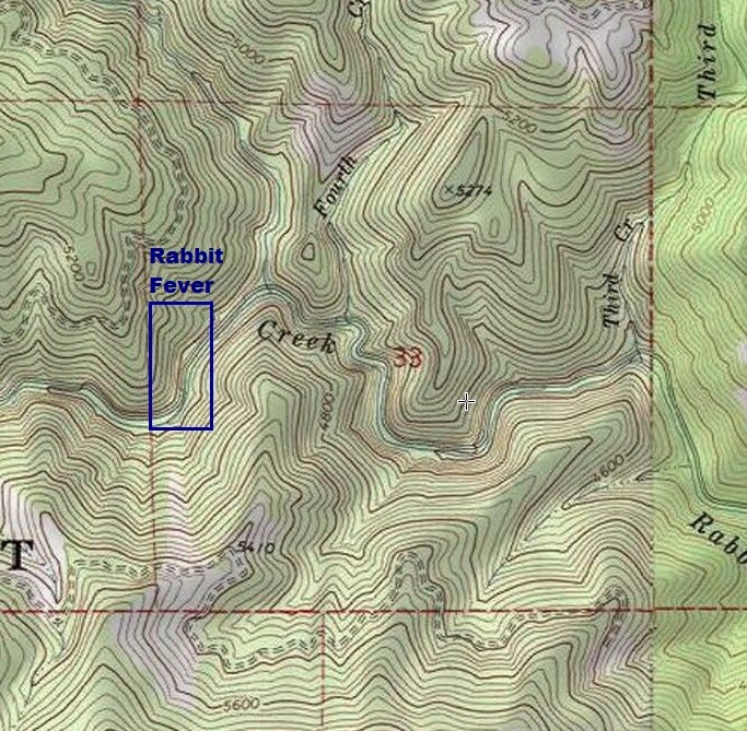
- Location: Boise County, Township 6N, Range 7E, Sec. 33, SW ¼ & NW ¼
- Mining claim serial #: ID106812253
Map to Claim
Coordinates
Marker Latitude & Longitude
NW 43.81605’N, -115.64565’W
NE 43.81605’N, -115.64323’W
SE 43.81245’N, -115.64323’W
SW 43.81245’N, -115.64565’W
Marker Degrees, Minutes, Seconds
NW 43°48’57.7800″N, -115°38’44.3400″W
NE 43°48’57.7800″N, -115°38’35.6280″W
SE 43°48’44.8200″N, -115°38’35.6280″W
SW 43°48’44.8200″N, -115°38’44.3400″W
Driving direction insert **2.8** miles
*** ***12.8 miles until you reach the mining claim.
Aerial & Topo Images
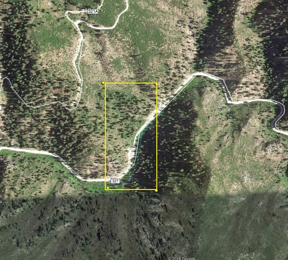
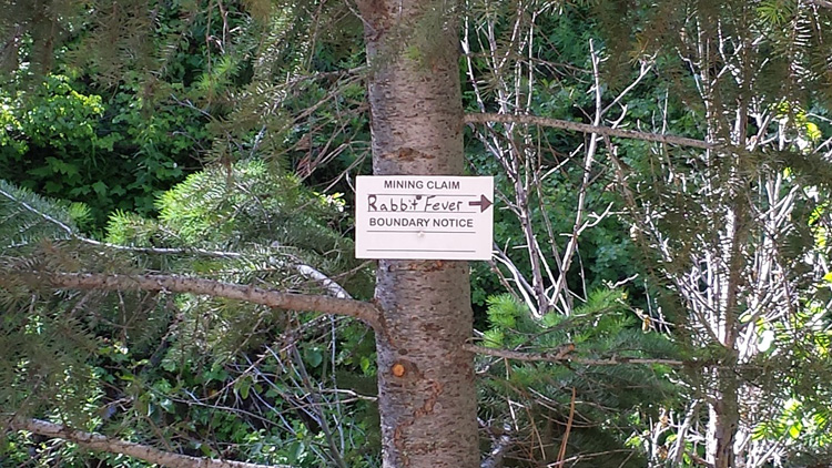
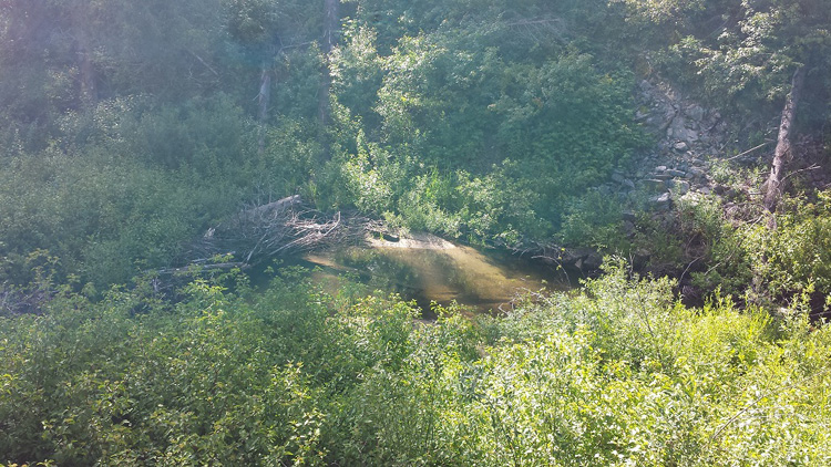
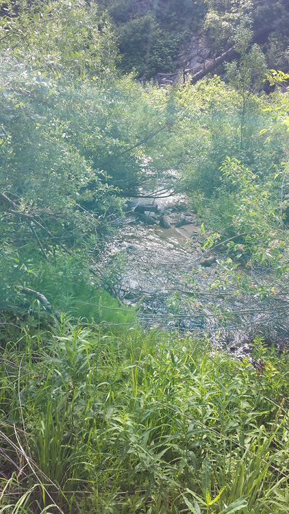
Images
Gold Cr #2
Sold
- Acreage: 20 acre unpatented placer claim
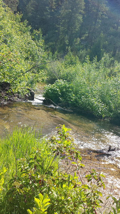
- River footage: 900’ Rabbit Creek
- Location: Boise County, Township 6N, Range 7E, Sec.33, NW ¼
- Mining claim serial #: ID106812254
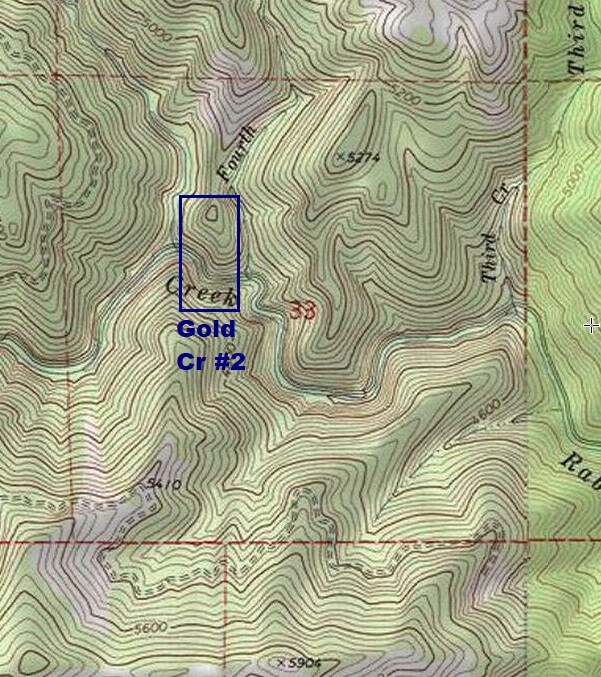
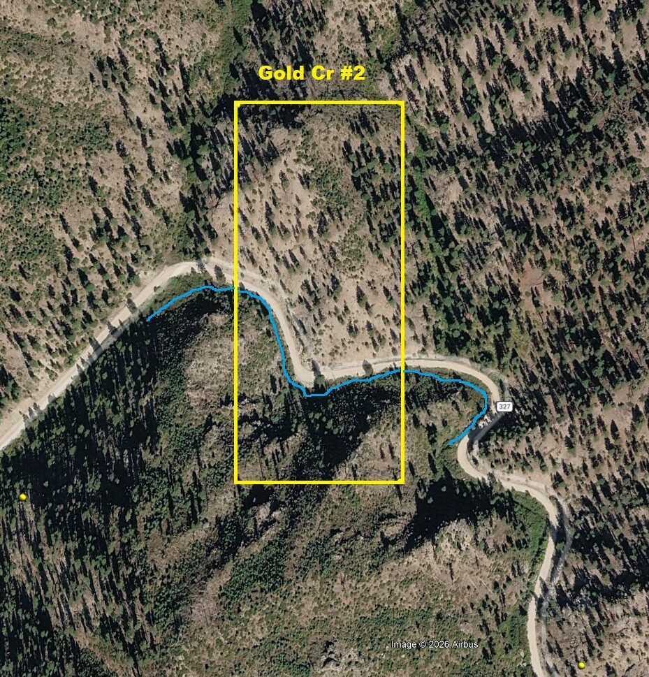
Map to Claim
Coordinates
Marker Latitude & Longitude
NW 43.81798’N, -115.64050’W
NE 43.81798’N, -115.63836’W
SE 43.81442’N, -115.63836’W
SW 43.81442’N, -115.64050’W
Marker Degrees, Minutes, Seconds
NW 43°49’04.7280″N, -115°38’25.8000″W
NE 43°49’04.7280″N, -115°38’18.0960″W
SE 43°48’51.9120″N, -115°38’18.0960″W
SW 43°48’51.9120″N, -115°38’25.8000″W
Driving direction insert **3.2** miles
Aerial & Topo Images
Images
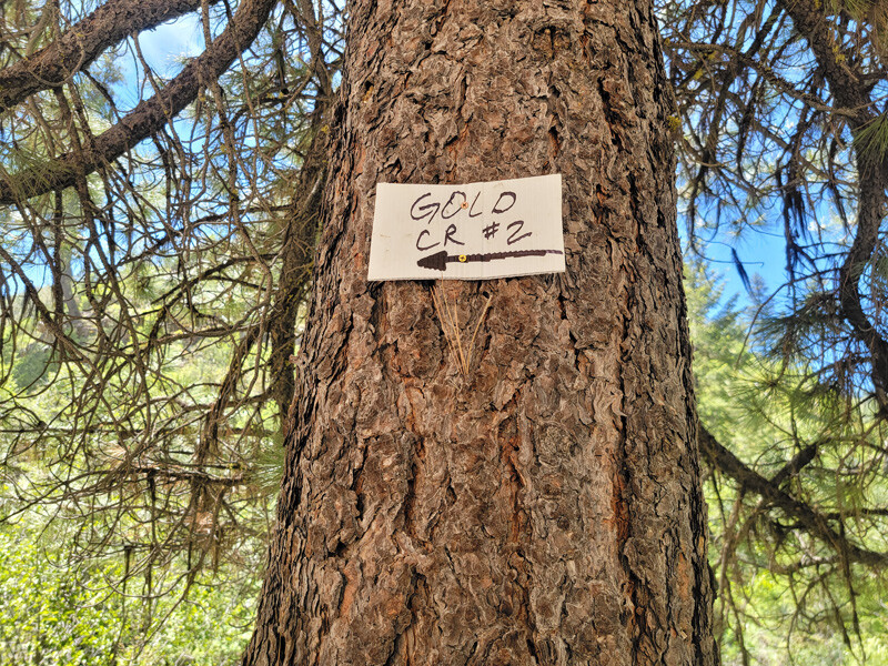
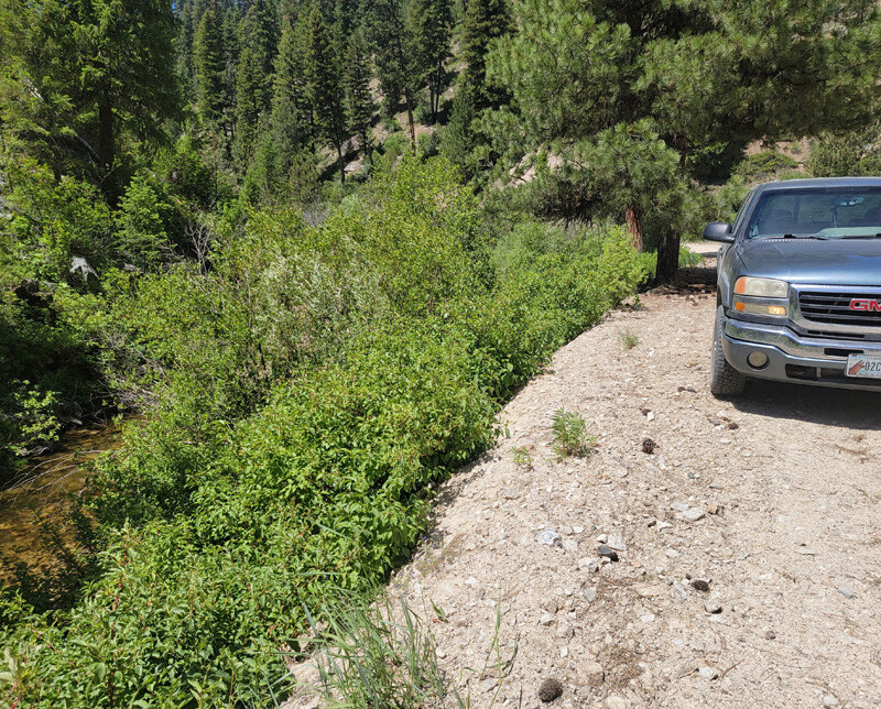
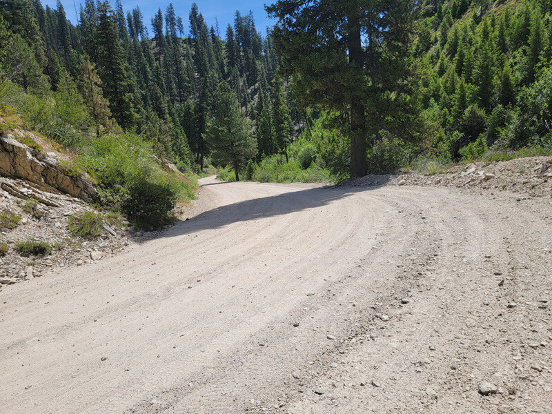
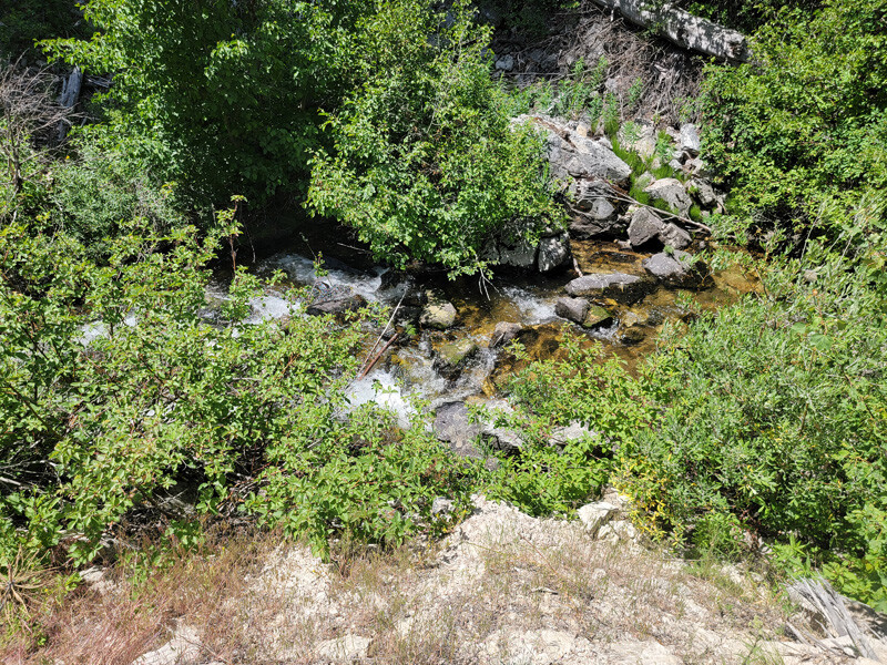
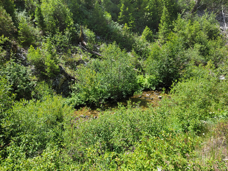
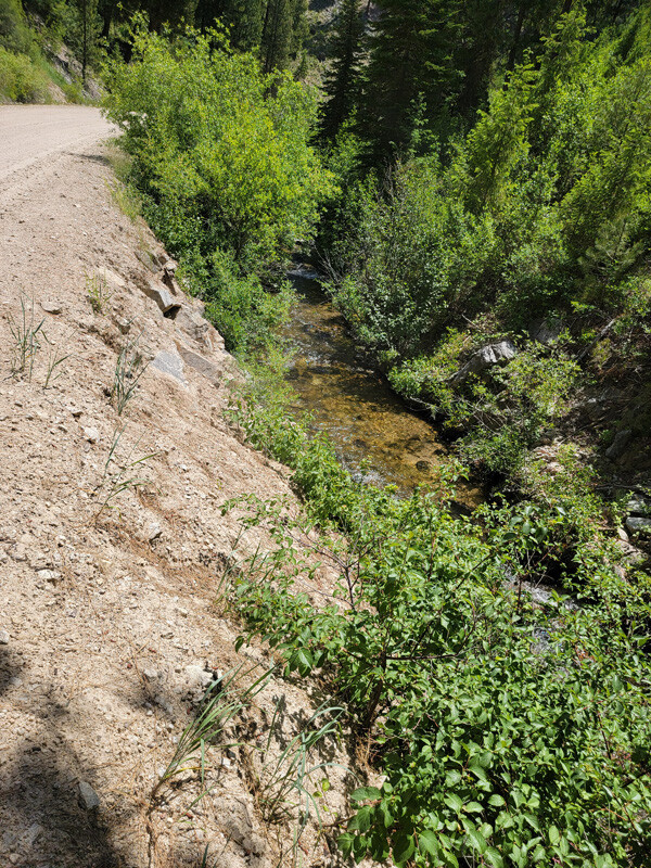
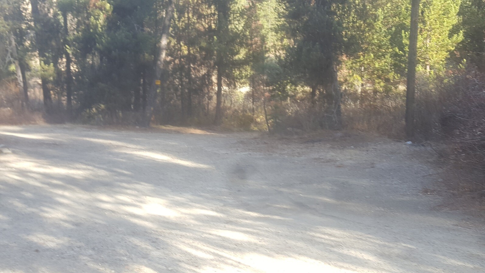
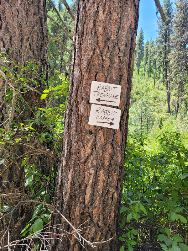
Driving Directions from Boise: Take HWY 21 north out of Boise towards Idaho City (35 miles), turning right on Granite Creek Road / NF 327 (about 2 miles past Idaho City). You will stay on NF 327 (which eventually turns into Rabbit Creek Road), the claims start at 10.3 miles or at the major junction of Rabbit Creek (NF 327) & NF Rabbit Creek (NF 322). Continue down Rabbit Creek Road / NF 327 an additional **(insert from above)** to reach the claims. The claim is marked on the side boundaries (east/west edges) along the road (on the creek side), as well as all of the corner markers.