Pikes Fork Trio
Crooked River Sold
Overview
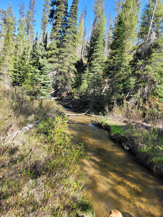
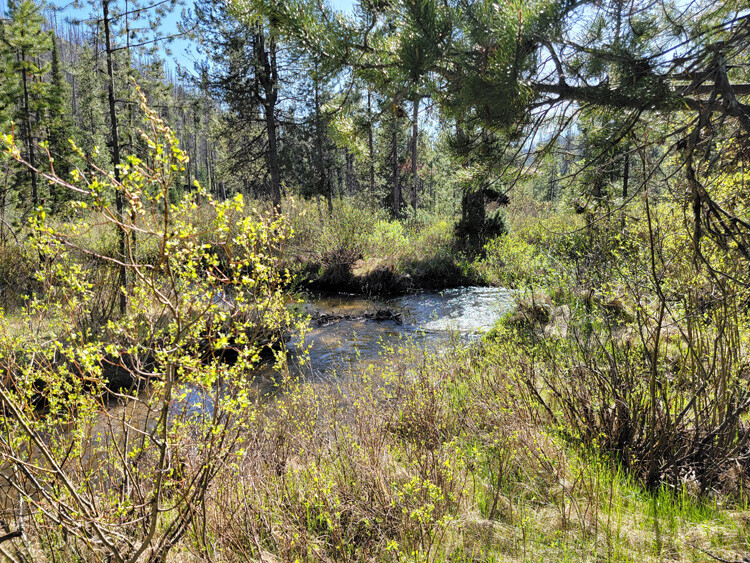
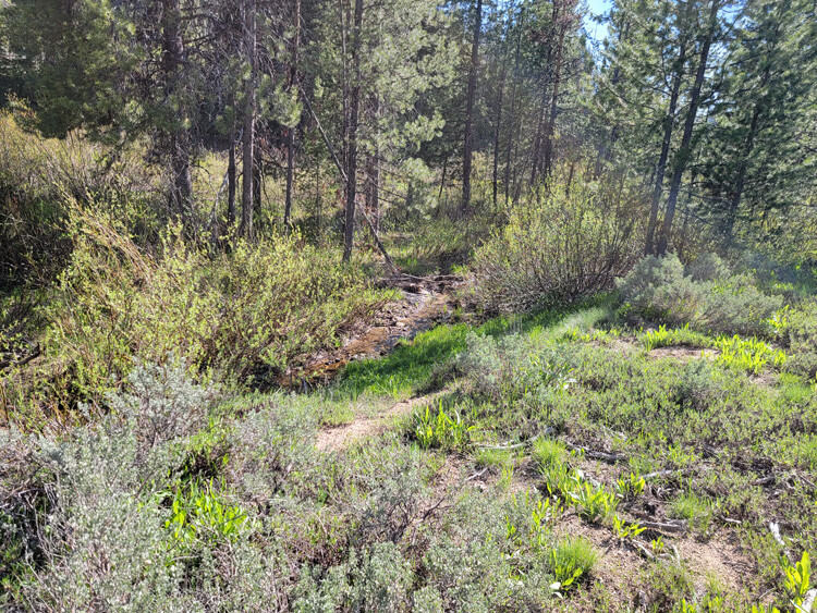
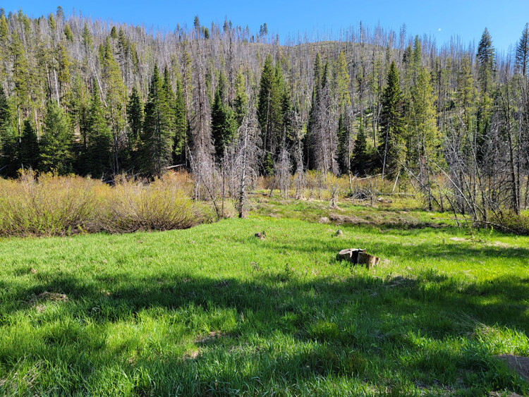
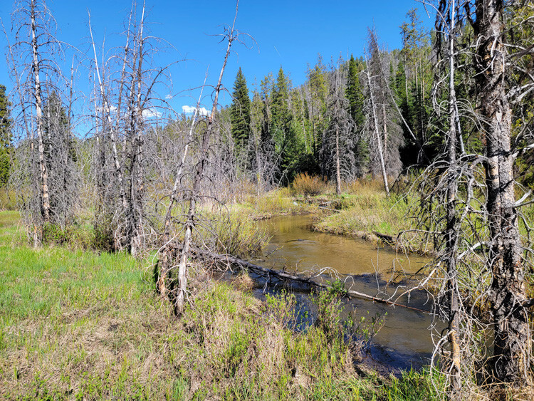
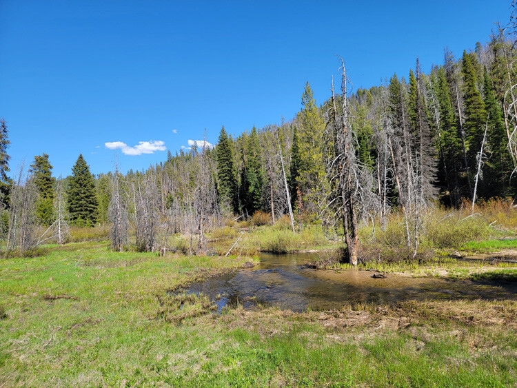
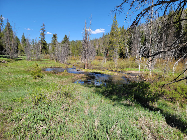
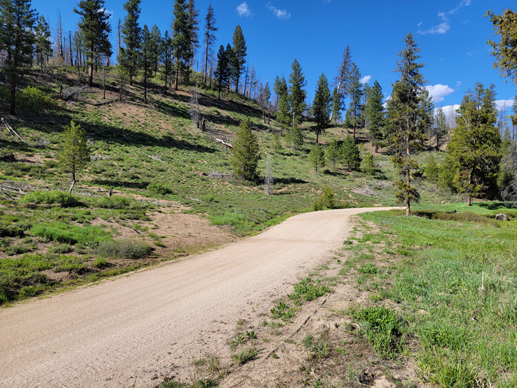
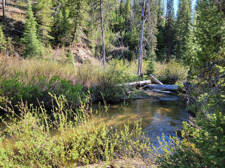
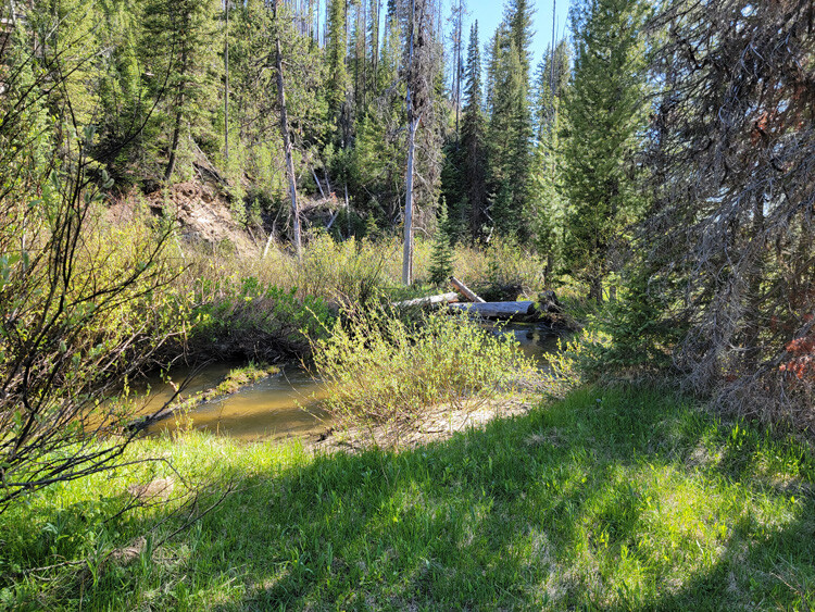
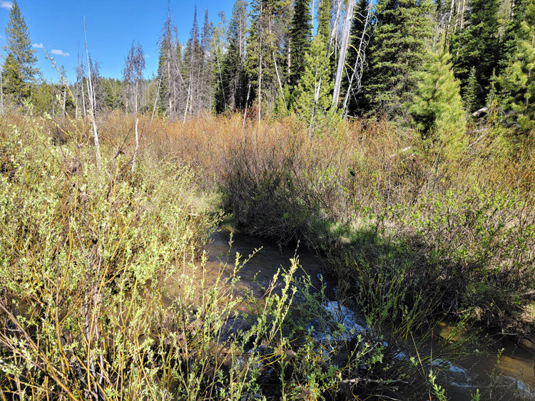
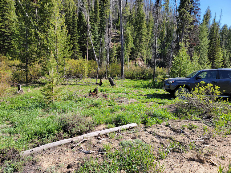
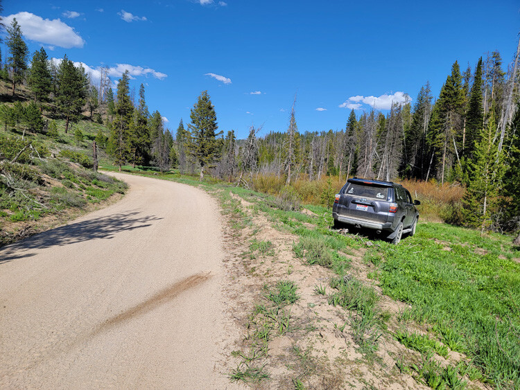
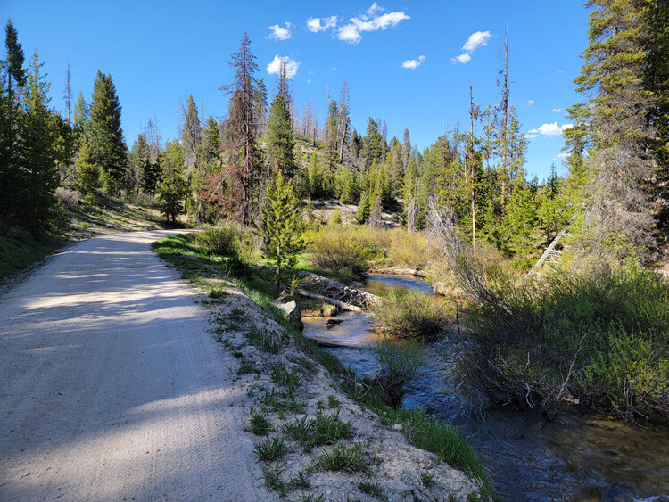
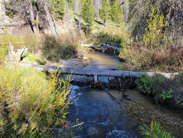
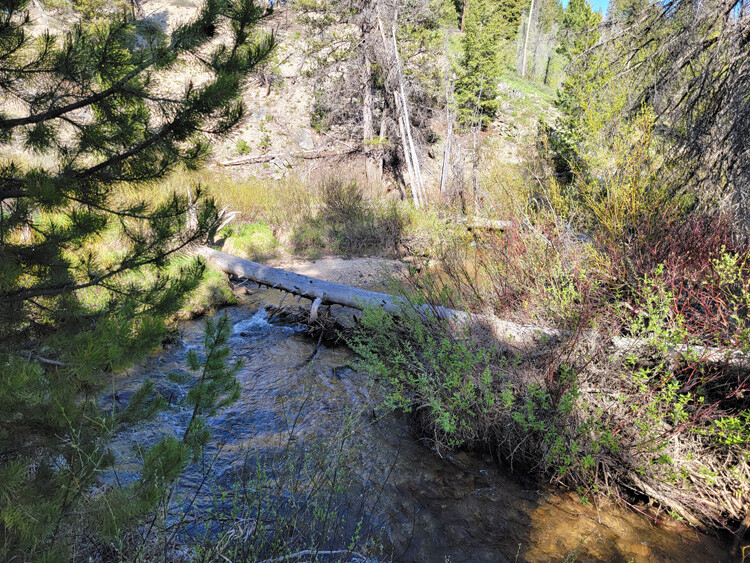
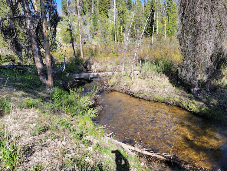
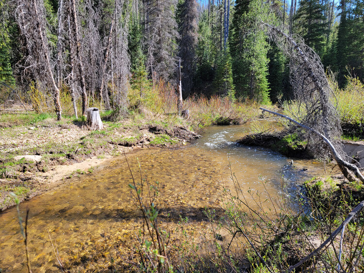
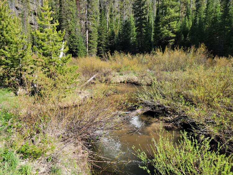
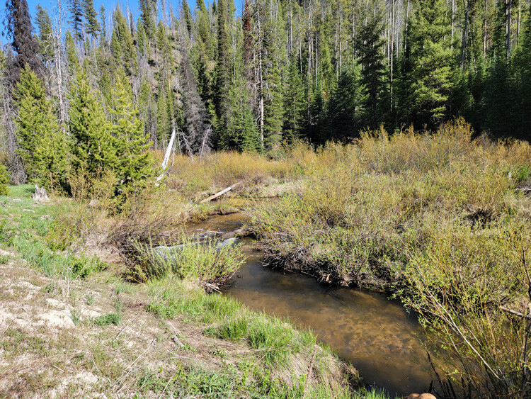
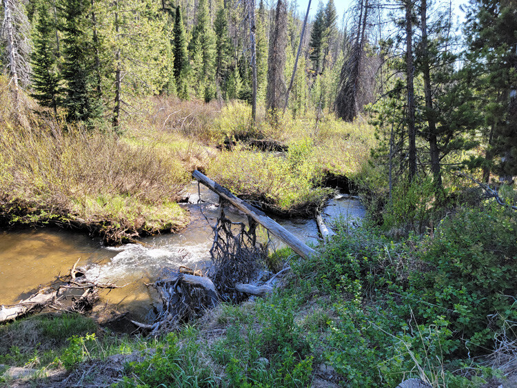
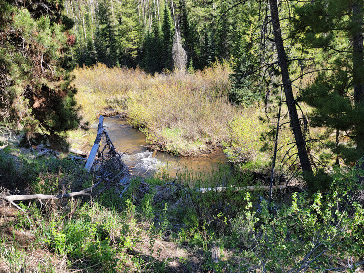
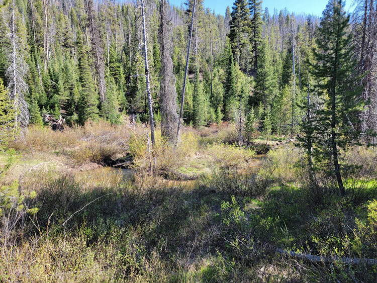
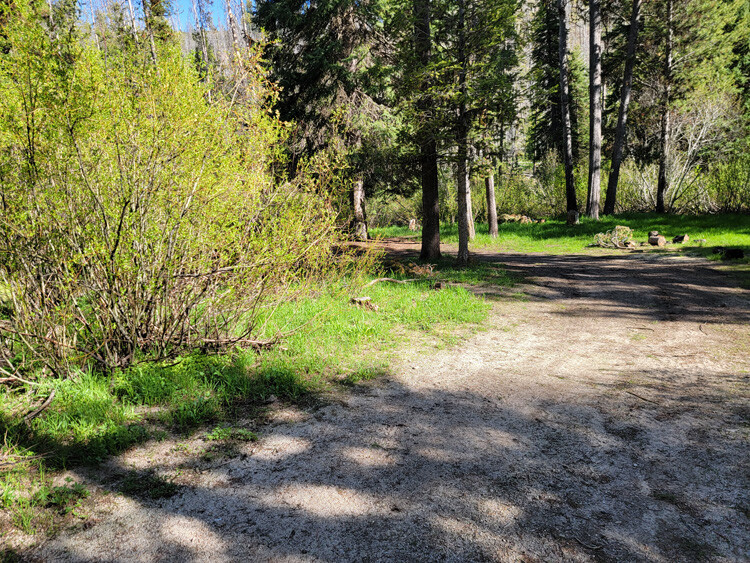
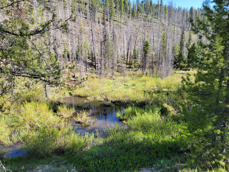
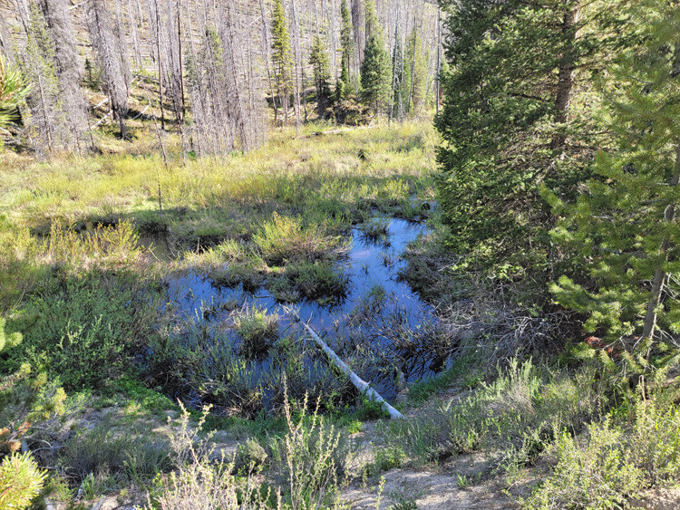
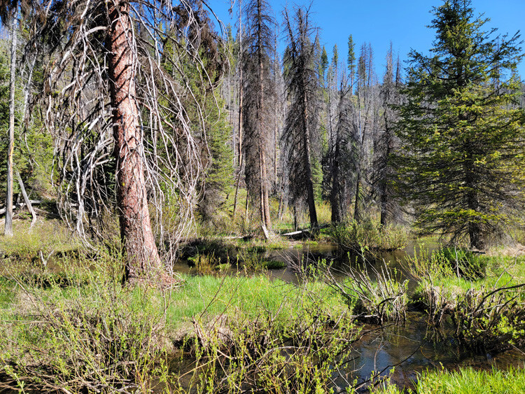
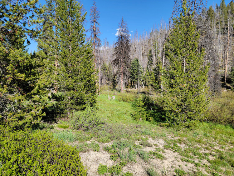
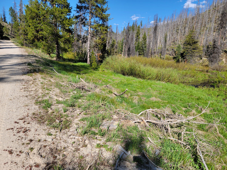
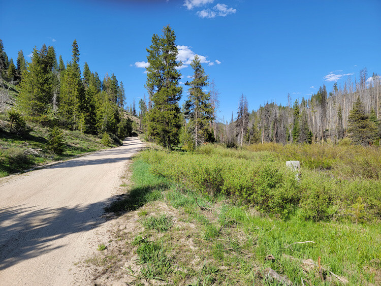
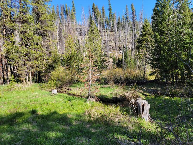
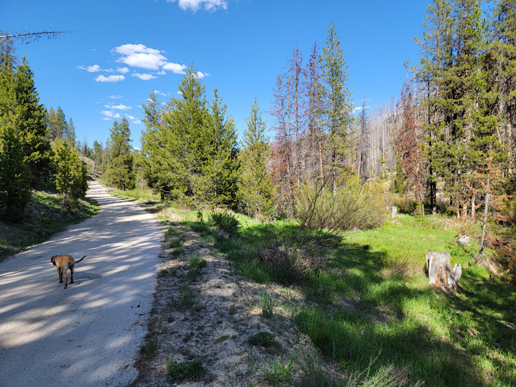
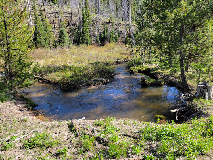
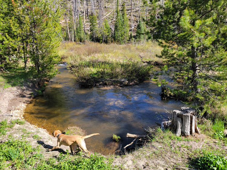
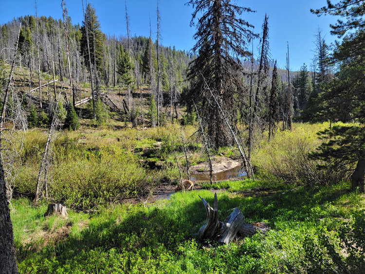
Pikes Fork is a historically rich tributary of the Crooked River drainage system. At the confluence of Pike Fork and Banner Creek, you can see the remanence of the old bucket dredging activity several hundred feet up into Pikes Fork. However, upstream at these mining claims, the terrain became too narrow to allow for this kind of mining, leaving this drainage a nice undisturbed yet great place to be working mostly virgin gold, with exceptional recovery rates. I would also note that I used to teach panning classes at this confluence, as it was an easy place for people to find color just by simple panning methods. These pictures where taken in the fall, so as you can see, there is ample year-round water, with a well graded road going across ALL of these mining claims.
Bundle price of $6,500 for all 3 claims, $4,500 for two claims, or individual prices listed below
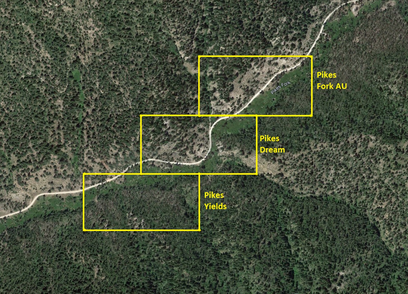
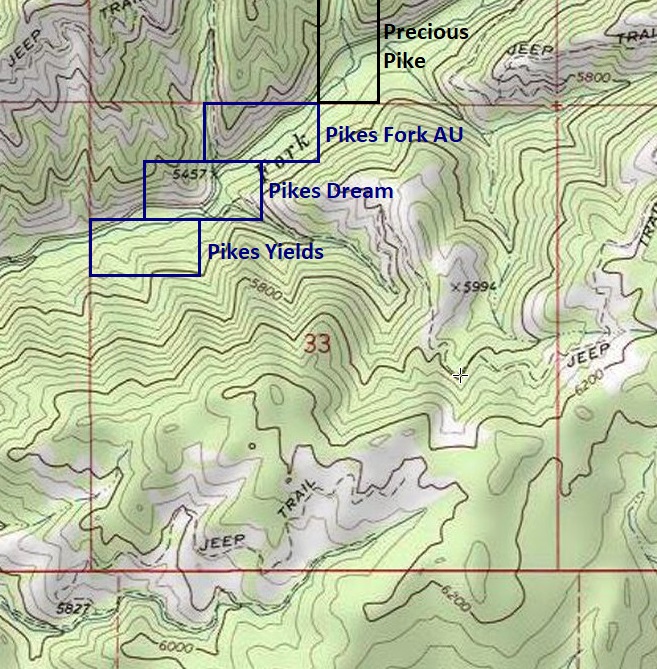
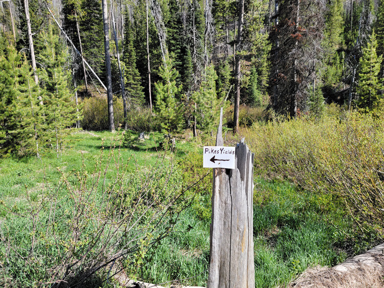
Pikes Yields
Sale Pending
Sold
- Acreage: 20 acre unpatented placer claim
- River footage: 1000‘ of Pikes Fork
- Location: Boise County, Township 8N, Range 8E, Sec. 33, NW ¼
- Mining claim serial #: ID106735114
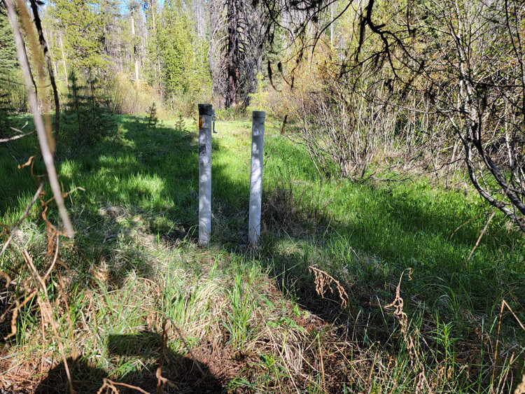
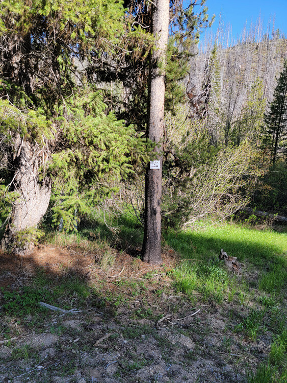
Map to Claim
Coordinates
Marker Degrees, Minutes, Seconds
NW 43°59’25.2960″N, -115°31’42.7440″W
NE 43°59’25.2960″N, -115°31’25.1040″W
SE 43°59’19.0680″N, -115°31’25.1040″W
SW 43°59’19.0680″N, -115°31’42.7440″W
Marker Latitude & Longitude
NW 43.99036°N, -115.52854°W
NE 43.99036°N, -115.52364°W
SE 43.98863°N, -115.52364°W
SW 43.98863°N, -115.52854°W
Images
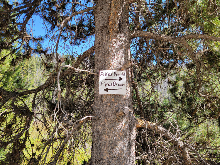
Pikes Dream
Sale Pending
Sold
- Acreage: 20 acre unpatented placer claim
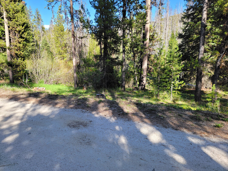
- River footage: 1500‘ of Pikes Fork - 1 camping area on claim
- Placer/lode: Boise County, Township 8N, Range 8E, Sec. 33, NW ¼
- Location:
- Mining claim serial #: ID106735115
Map to Claim
Coordinates
Marker Degrees, Minutes, Seconds
NW 43°59’31.7400″N, -115°31’34.0680″W
NE 43°59’31.7400″N, -115°31’16.3200″W
SE 43°59’25.2960″N, -115°31’16.3200″W
SW 43°59’25.2960″N, -115°31’34.0680″W
Marker Latitude & Longitude
NW 43.99215°N, -115.52613°W
NE 43.99215°N, -115.52120°W
SE 43.99036°N, -115.52120°W
SW 43.99036°N, -115.52613°W
Images
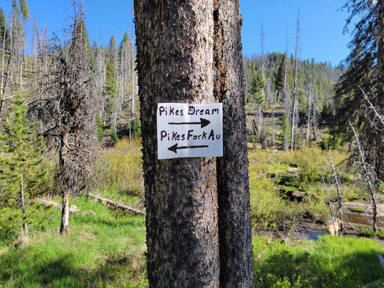

Pikes Fork AU
Sale Pending
Sold
- Acreage: 20 acre unpatented placer claim
- River footage: 1000‘ of Pikes Fork - 1 camping areas 300’ off claim
- Location: Boise County, Township 8N, Range 8E, Sec. 33, NW ¼
- Mining claim serial #: ID106735116
Map to Claim
Coordinates
Marker Degrees, Minutes, Seconds
NW 43°59’38.2920″N, -115°31’25.1040″W
NE 43°59’38.2920″N, -115°31’07.9680″W
SE 43°59’31.7400″N, -115°31’07.9680″W
SW 43°59’31.7400″N, -115°31’25.1040″W
Marker Latitude & Longitude
NW 43.99397°N, -115.52364°W
NE 43.99397°N, -115.51888°W
SE 43.99215°N, -115.51888°W
SW 43.99215°N, -115.52364°W
Images

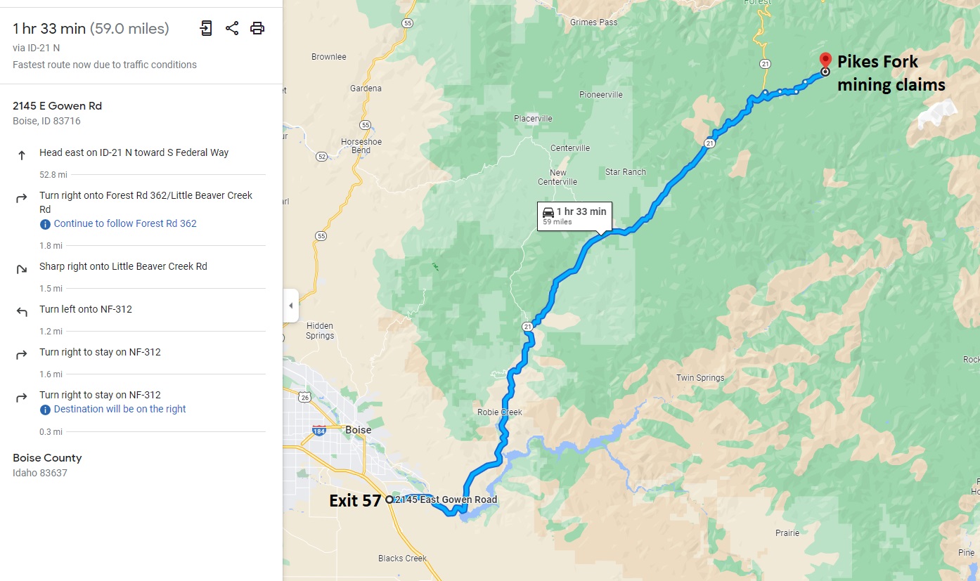
Show Me the Gold
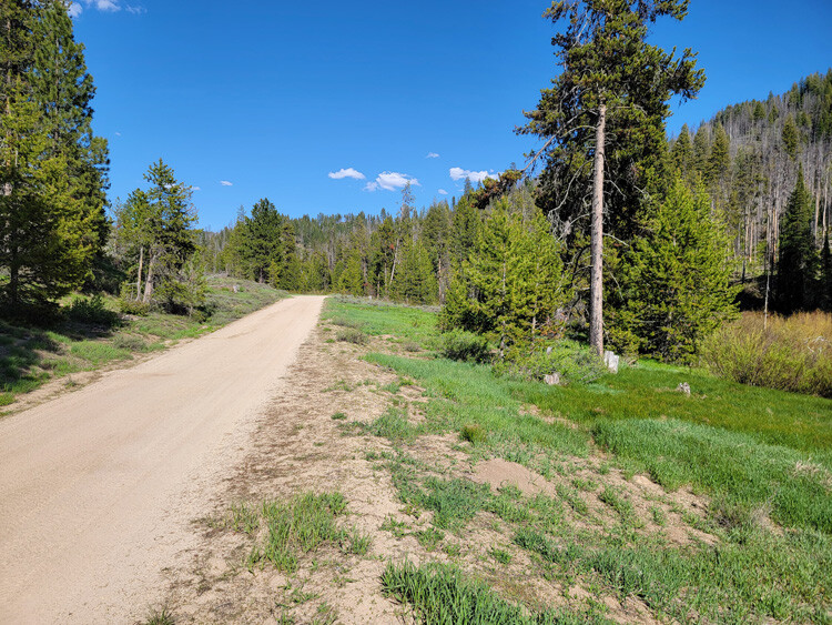
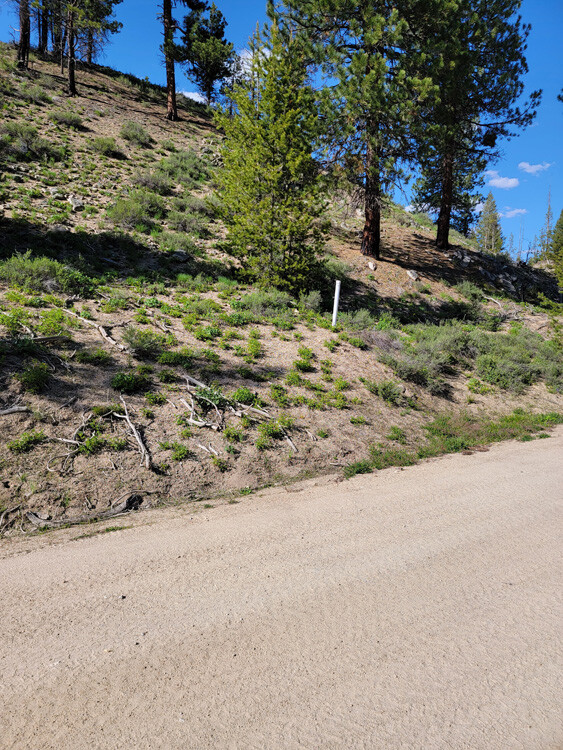
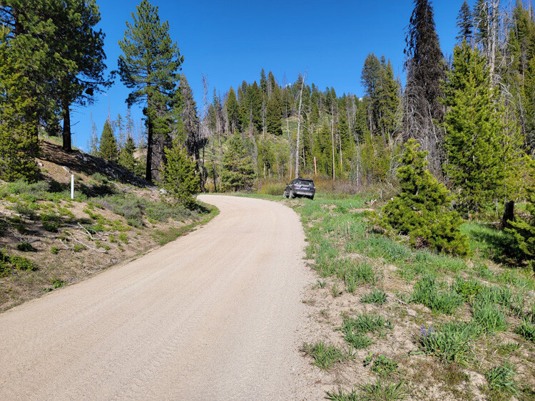
Driving Directions: The claims are located 23 miles outside the historic town of Idaho City. Driving directions to the claims: from Boise, travel north on HWY 21 to approximately 18 miles past Idaho City to the Jackson Peak Lookout turnout (Edna Creek Campground is at this junction). Turn right (east) on Crooked River Road (NF 384) for approximately 4 miles. Turn left (north) at the Jackson Peak turnoff onto NF 312. You will stay on this road for 1.1 miles turning right at the Pikes Fork Junction (which is still NF 312). You will continue on NF 312 for another 1.2 miles until you reach the Pikes Yields mining claim. These claims extend up for an additional 0.6 of a mile.