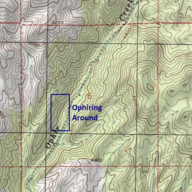
Ophiring Around
- Acreage: 20 acre unpatented placer claim
- River footage: 850’ of Ophir Creek
- Location: Boise County, Township 7N, Range 5E, Sec. 06, SW ¼
- Mining claim serial #: IMC232034
Map to Claim
Coordinates
Marker Degrees, Minutes, Seconds
NW 43°58’21.8280″N, -115°54’53.7120”W
NE 43°58’21.8280″N, -115°54’44.8560”W
SE 43°58’09.2640″N, -115°54’44.8560”W
SW 43°58’09.2640″N, -115°54’53.7120”W
Marker Latitude & Longitude
NW 43.97273°N, -115.91492°W
NE 43.97273°N, -115.91246°W
SE 43.96924°N, -115.91246°W
SW 43.96924°N, -115.91492°W
Maps

Images


Overview
Show me the Gold
These samples were collected from doing a short 3 hour sampling (using suction high-banker), but there is quite a bit more additional color I have collected on Ophir Creek, with having owned several miles of this drainage over many years. There is some amalgam present, but mostly clean color. Within the concentrates I have also found a LOT of PGMs, so be mindful of what you throw away.


Geological Reports
1915 Report
https://pubs.usgs.gov/bul/0640e/report.pdf
1947 Report
https://pubs.usgs.gov/bul/0944c/report.pdf (See pages 282 & 283)
Driving Directions: The claims are located, starting about 2 miles outside the historic mining town of Placerville. From the Boise area, Placerville can be reached from three different main routes (all about the same drive time…just depending on which side of Boise you are coming from).
Option 1) HWY 21 to Idaho City, then Centerville Rd. to Placerville.
Option 2) HWY 55 to Horseshoe Bend, then up Harris Creek Rd to Placerville.
Option 3) HWY 55, right at Banks to Garden Valley, then south across the Payette River to Placerville.
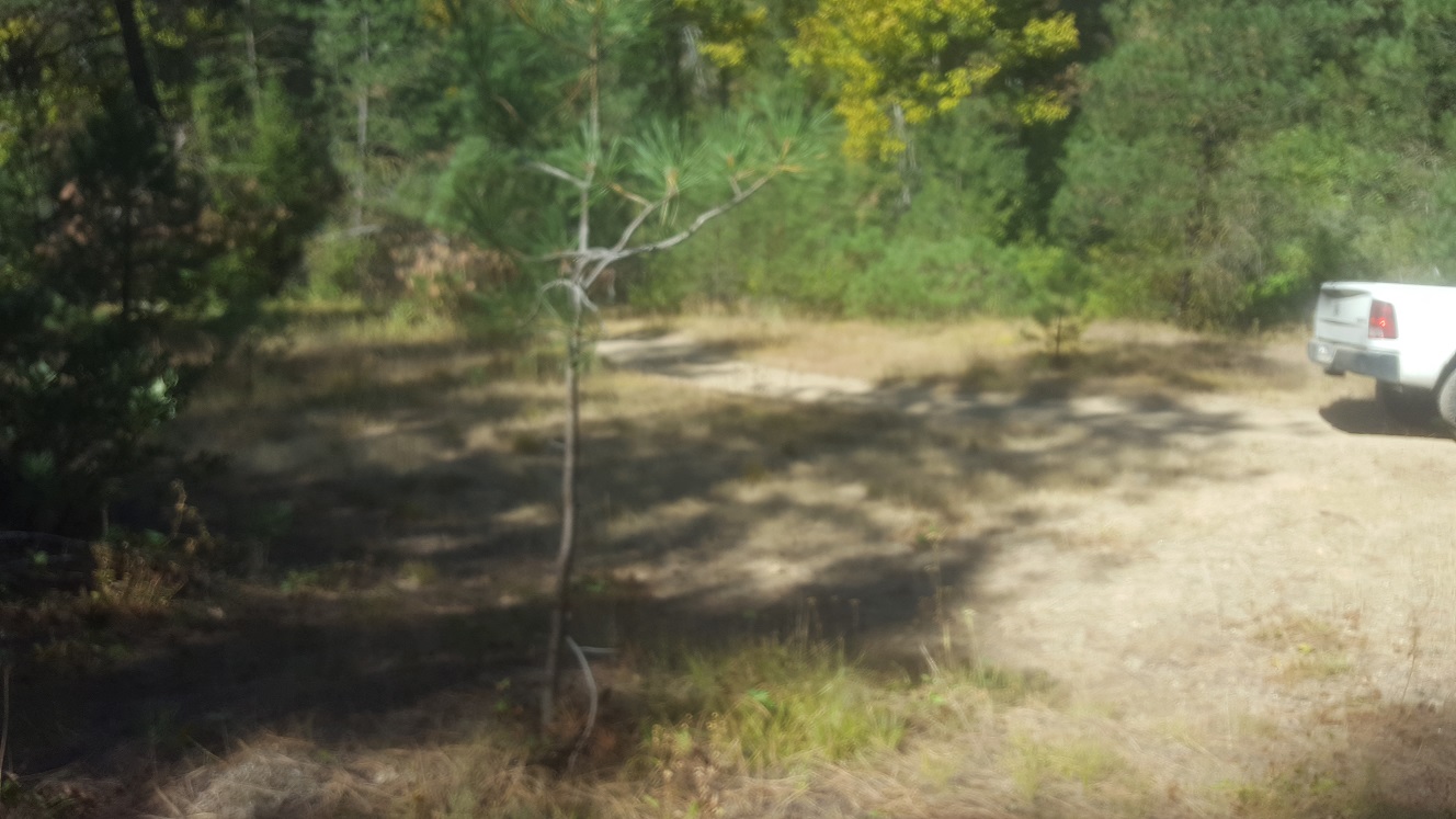
Driving directions to the claim: from Placerville, head northeast on NF 615 (towards Garden Valley), about 500’ as you head out of town, turn right (east) onto NF 349. Take this up and over the hill for approximately 0.4 of a mile, and turn left (before reaching the bottom of the draw) onto NF 386. You will stay on this road which follows along the northwest side of Ophir Creek for approximately 2 miles to where the road crosses Ophir Cr draw, stay left (on 386 at the fork), and continue on the 386 for 1 more mile. Turn right on the slightly overgrown road (which is the 386), which crosses Ophir Cr. (what appears to be the main road 386C continues straight, but is overgrown past the private property). The road has been cleared of vegetation to allow a vehicle up to the camping area on Ophir Fever (which is a good place to park a vehicle). The Ophiring Around mining claim is another 0.4 of a mile further down the 386 past this camping area. Signage has been posted along the road, showing where the mining claim boundaries are positioned.
I have taken trucks past this camp area, all the way up to the top at Mineral Mountain Mine, however, under it’s current condition (smaller vegetation growing out into the road), it is now more suitable for ATV/Razors. Like most roads of this nature (being originally created & maintained by miners), unless mining claim owners take the time to cut back the spring growth for access, roads start becoming harder to get through. As I lack the time to clear this portion of road, I am planning to offer the mining claims within this ATV access area at a lowered rate (than what historic gold bearing Ophir Cr. claims typically sell for).
