Price: $2,000 - $3,000
Sale PendingNorth Fork Boise River
Overview
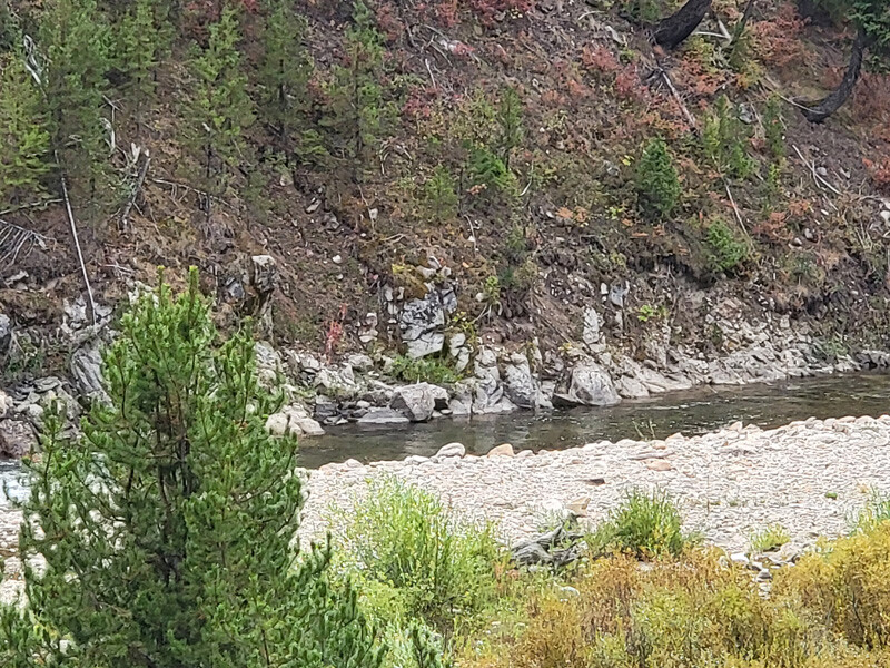
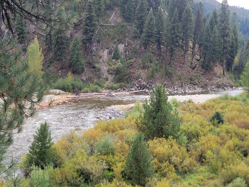
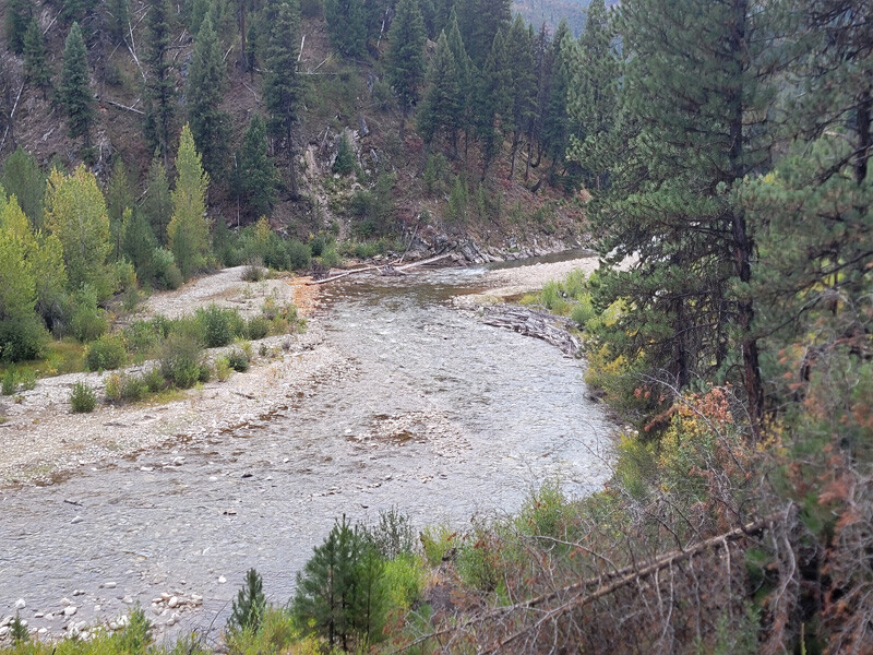
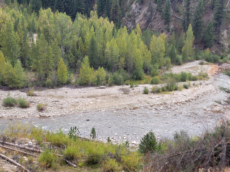
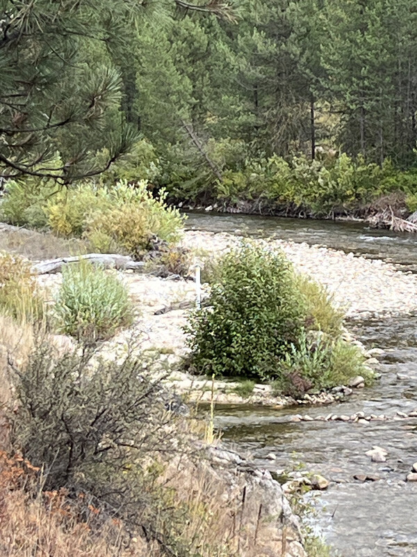
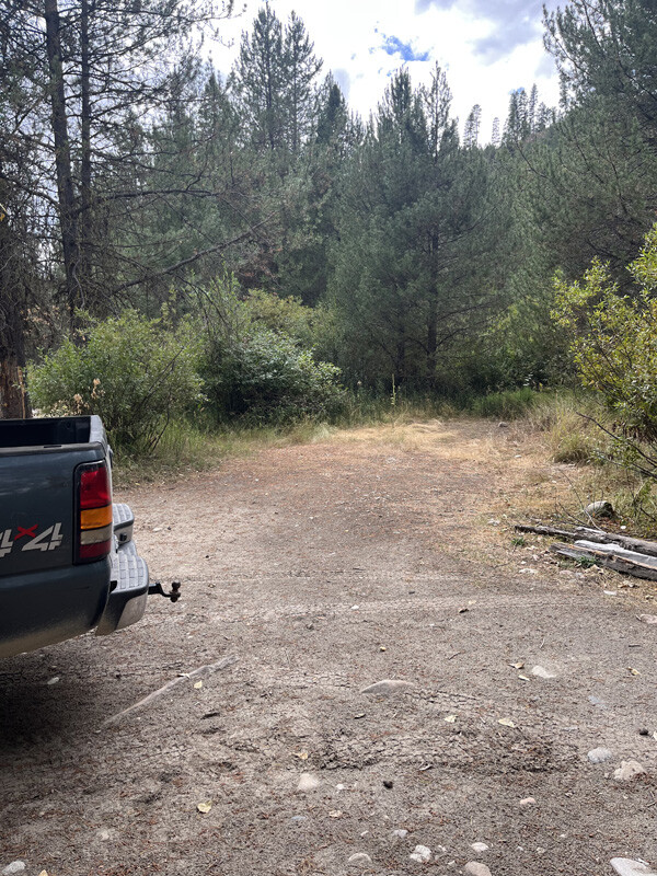
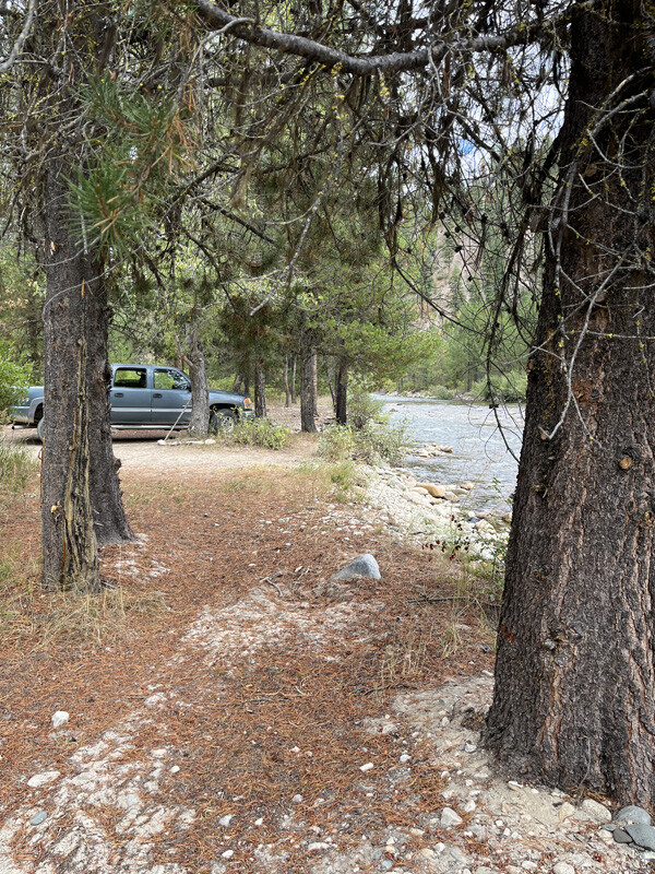
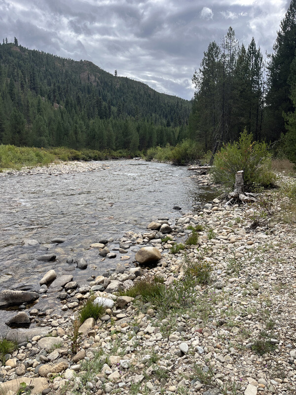
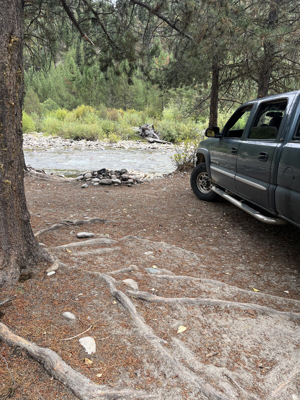
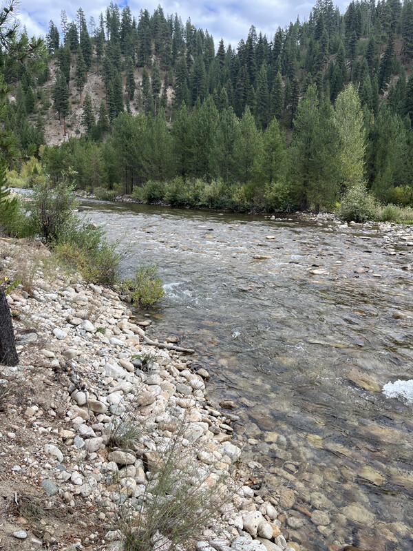
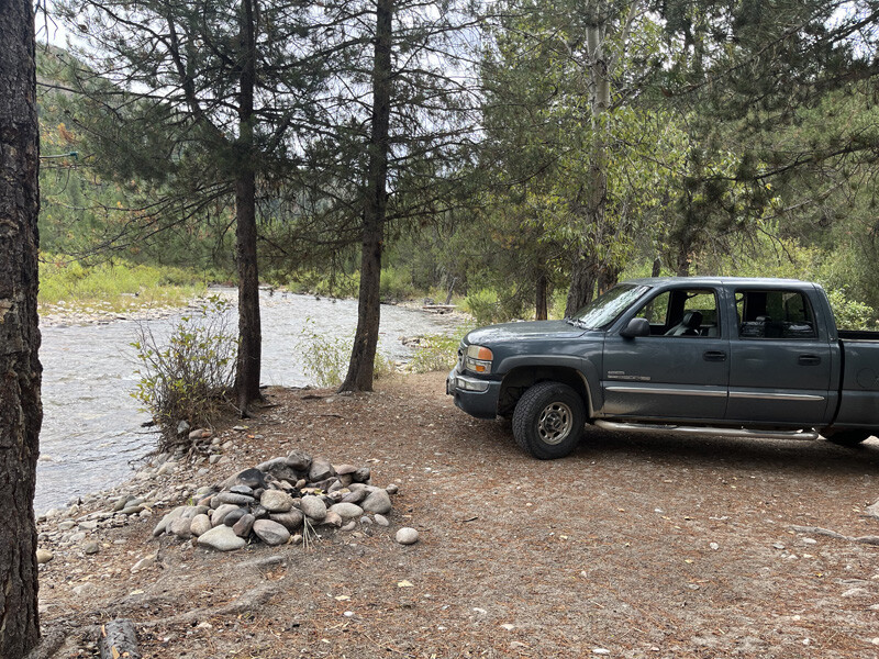
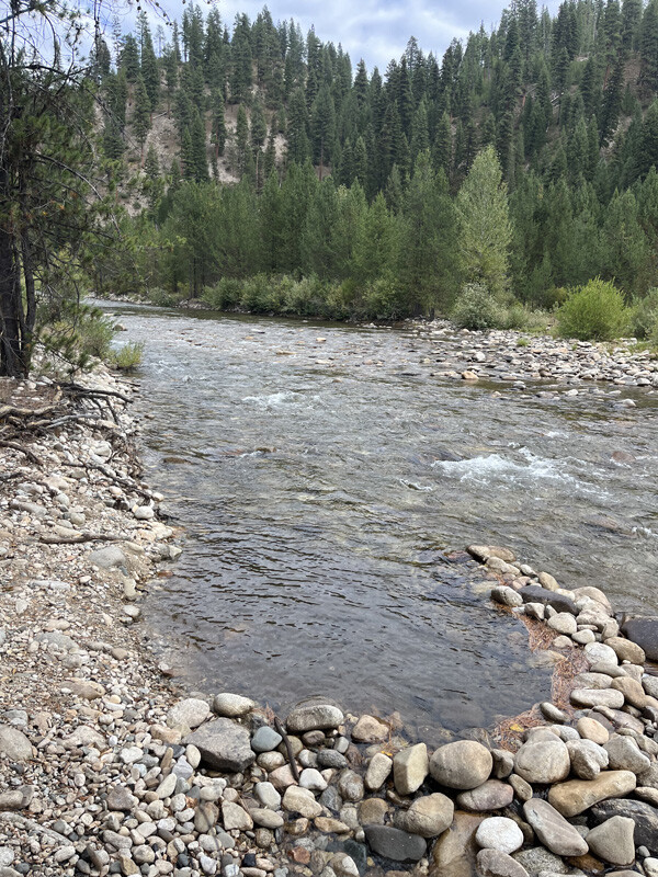
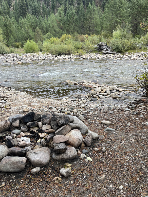
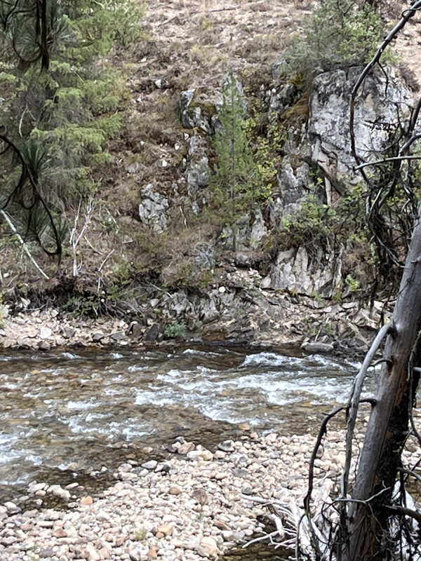
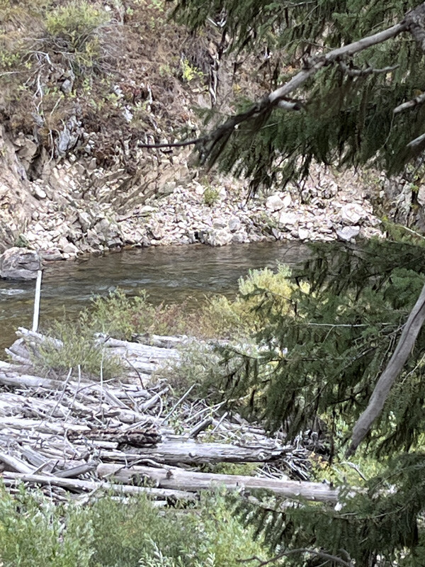
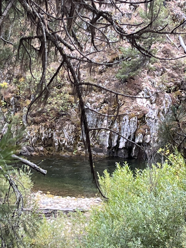
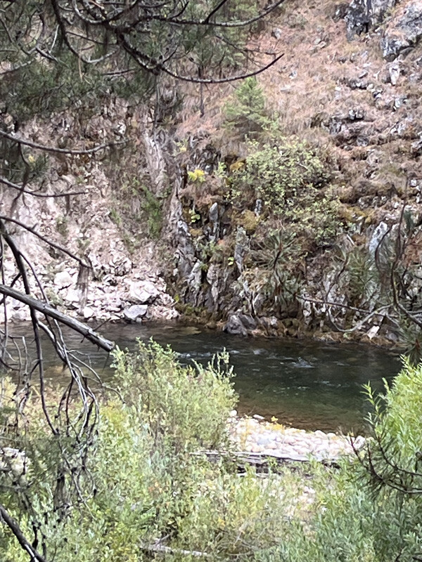
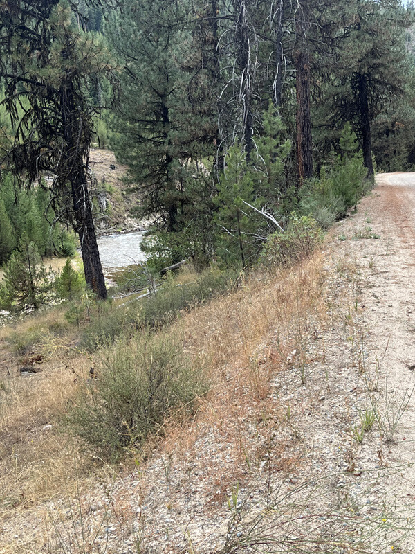
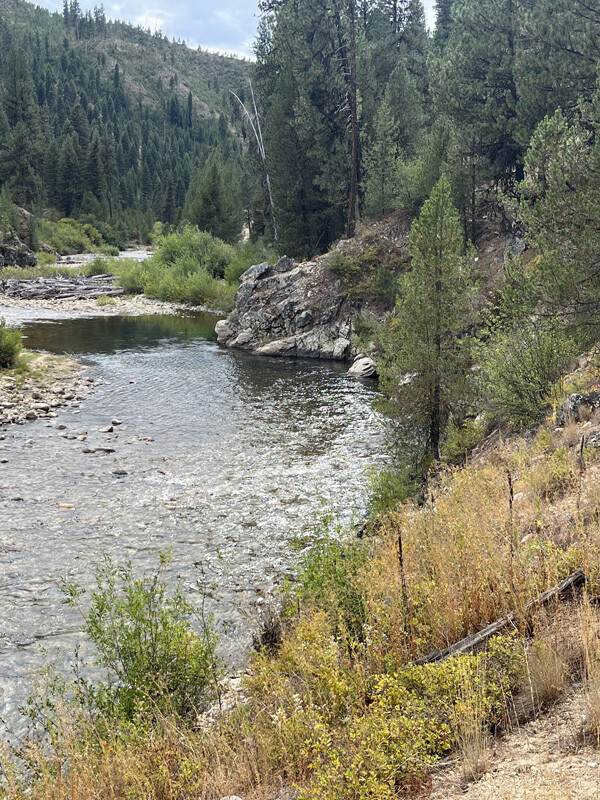
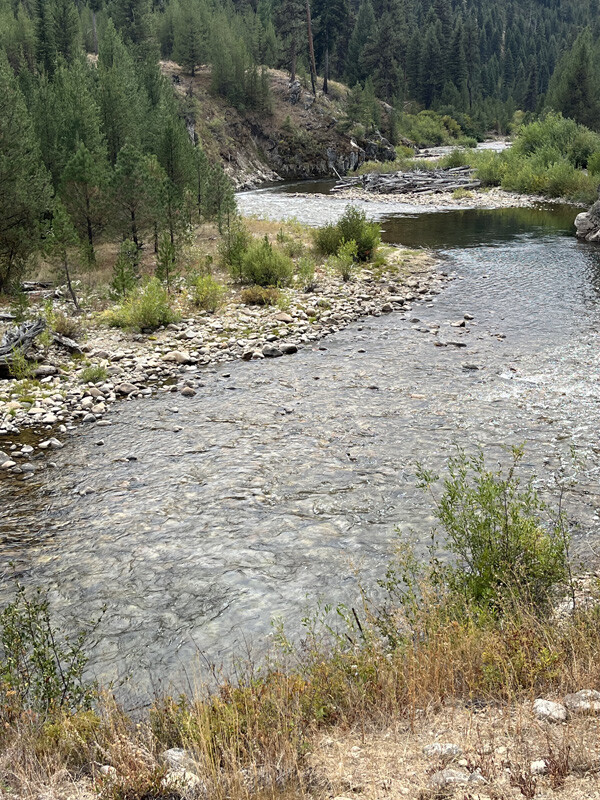
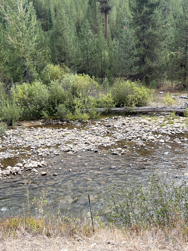
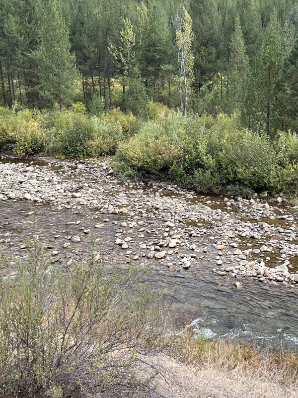
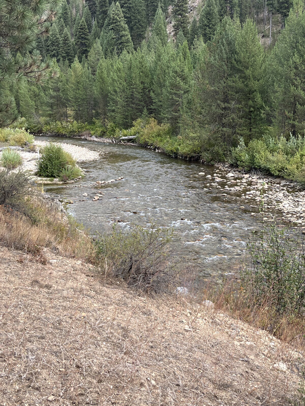
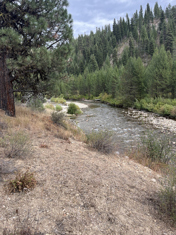
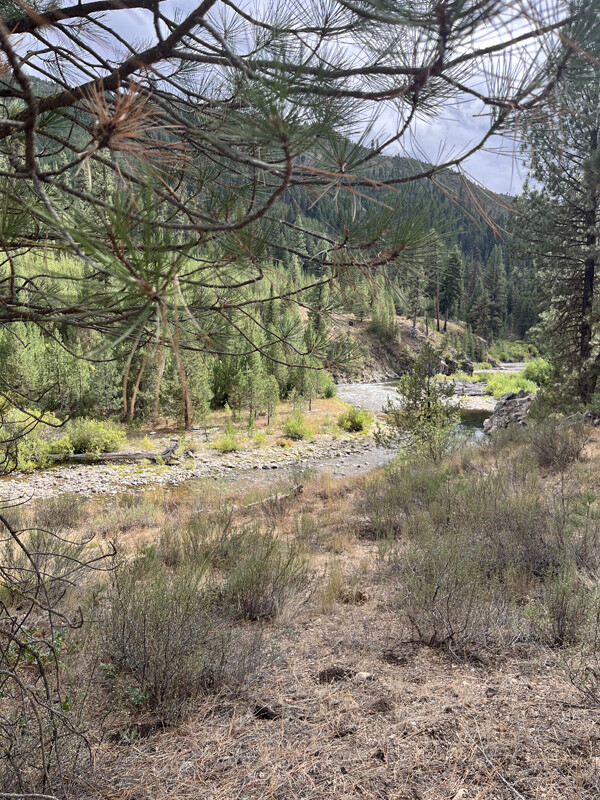
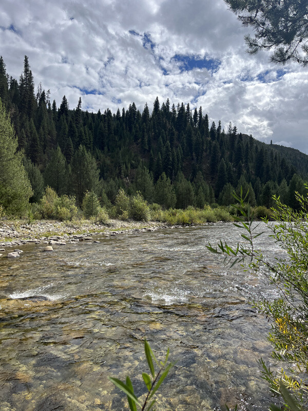
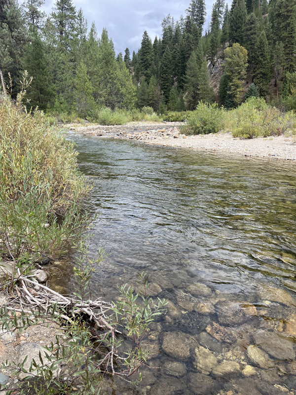
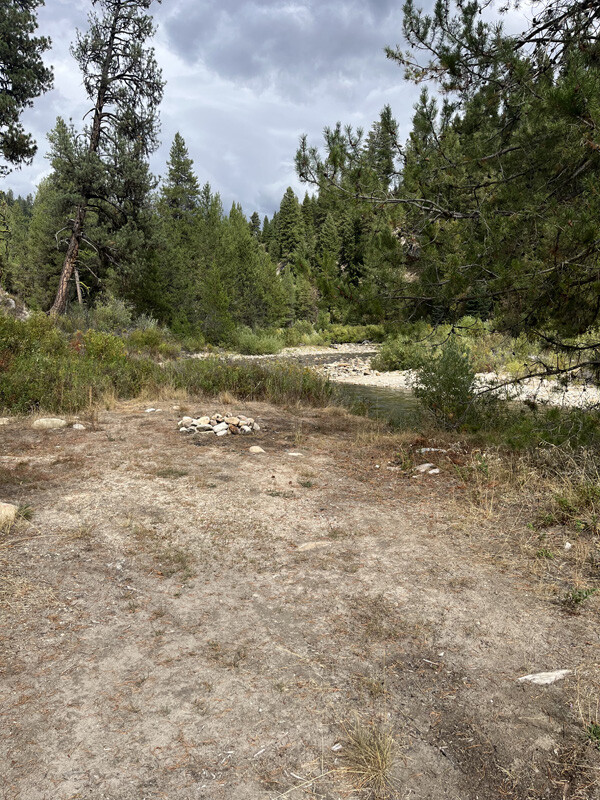
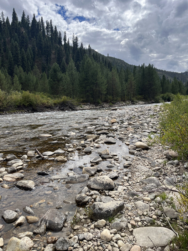
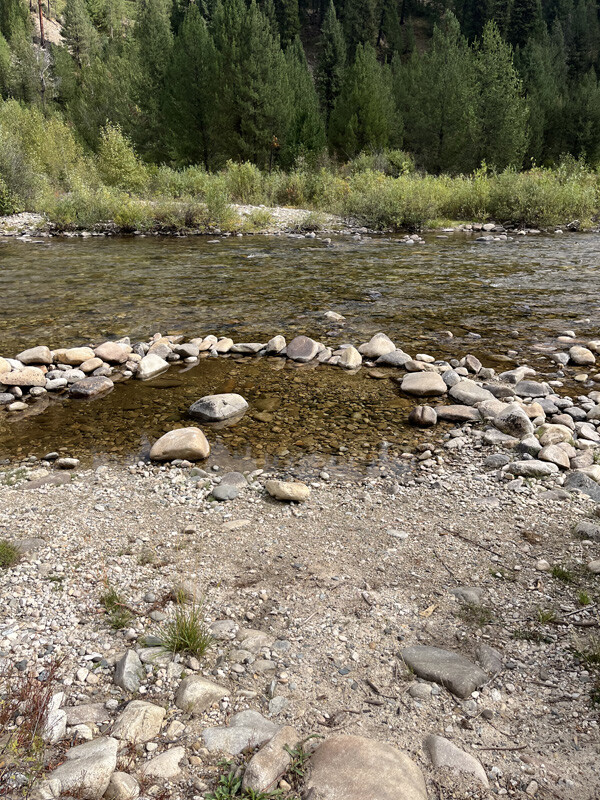
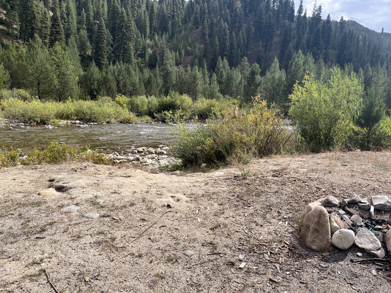
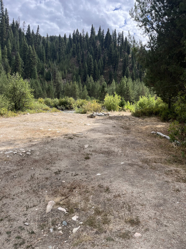
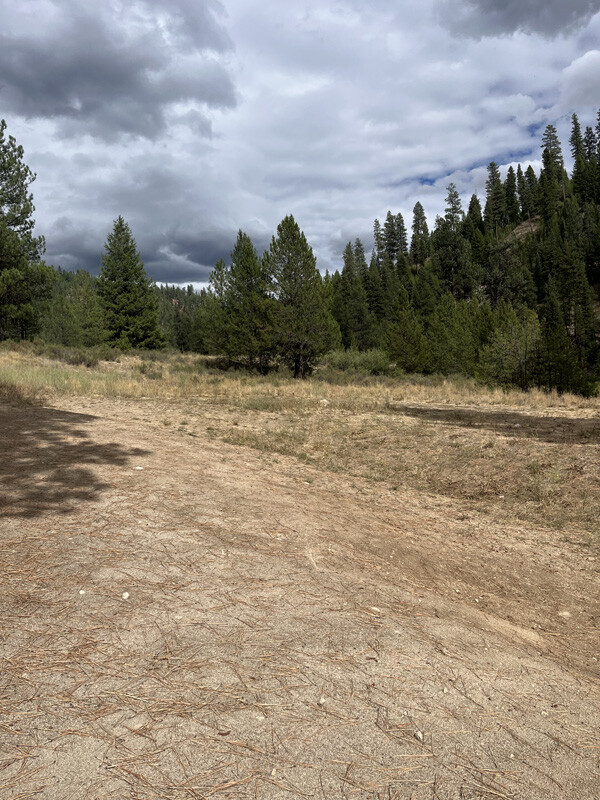
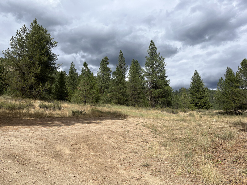
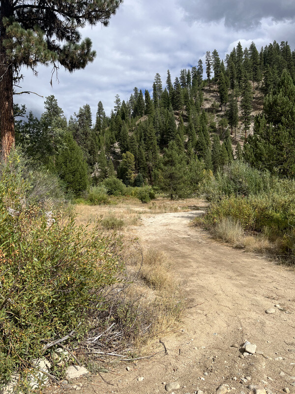
These four beautiful 15 – 20 acre unpatented mining claims have great access, on the North Fork of the Boise River. Each claim includes from 950’ up to 1150 feet of river, on a historic gold-bearing drainage on the NF Boise River, in the Boise Basin. Full services available in Idaho City, about 34 miles from the claim. Again excellent access suitable for a car, RV, trailers, with ample year round water across all of the claims. Incredible scenery, lots of trails and ATV roads, and hidden hot springs dotted across this are, for all kinds of recreational enjoyment nearby.
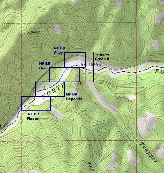
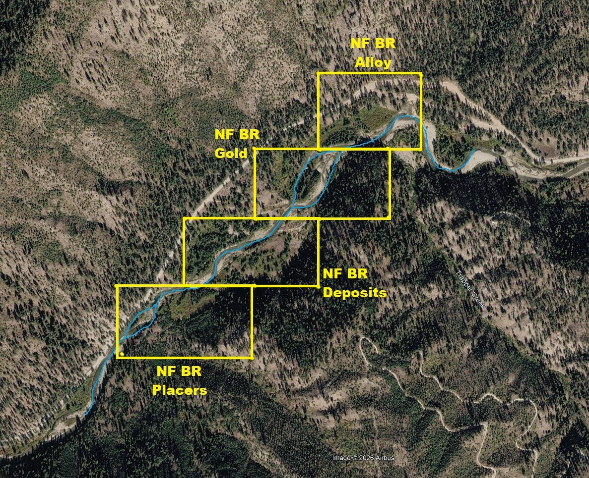
NF BR Alloy
Price: $2,250 $2,000 Sale Pending
Claim of the Month - Acreage: 15 acre unpatented placer claim
- River footage: 1100’ of the NF Boise River
- Location: Boise & Elmore County, Twn. 7N, Rng. 8E, Sec. 36, NW & NE ¼s
- Mining claim serial #: ID106847403
Map to Claim
Coordinates
Marker Latitude/ Longitude
NW 43.90375’N, -115.46082’W
NE 43.90375’N, -115.45716’W
SE 43.90187’N, -115.45716’W
SW 43.90187’N, -115.46082’W
Marker Degrees/Minutes/Seconds
NW 43°54’13.5000”N, -115°27’38.9520”W
NE 43°54’13.5000”N, -115°27’25.7760”W
SE 43°54’06.7320”N, -115°27’25.7760”W
SW 43°54’06.7320”N, -115°27’38.9520”W
Aerial & Topo Images
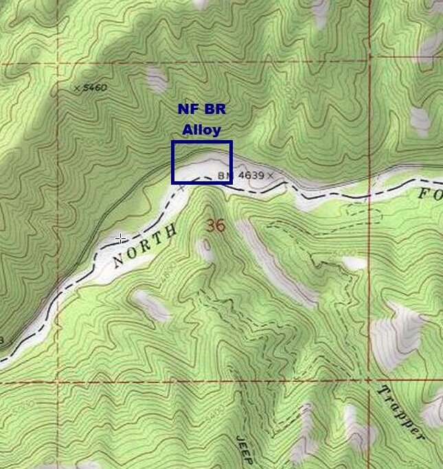
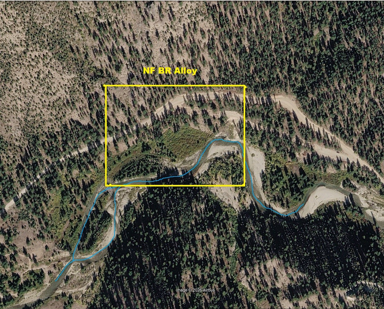
Images
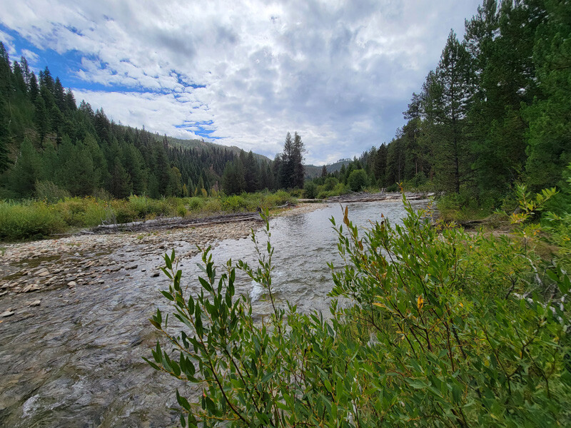
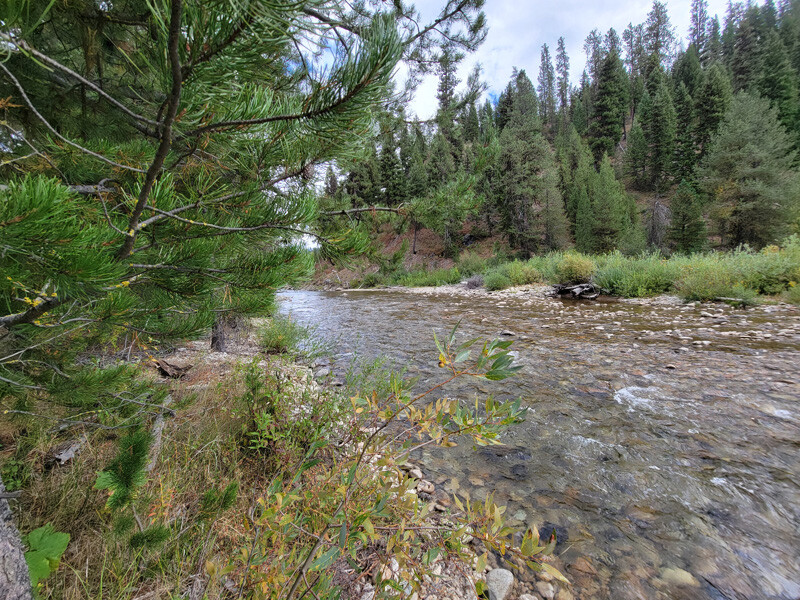
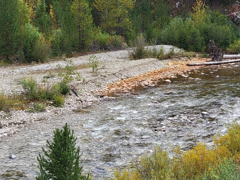
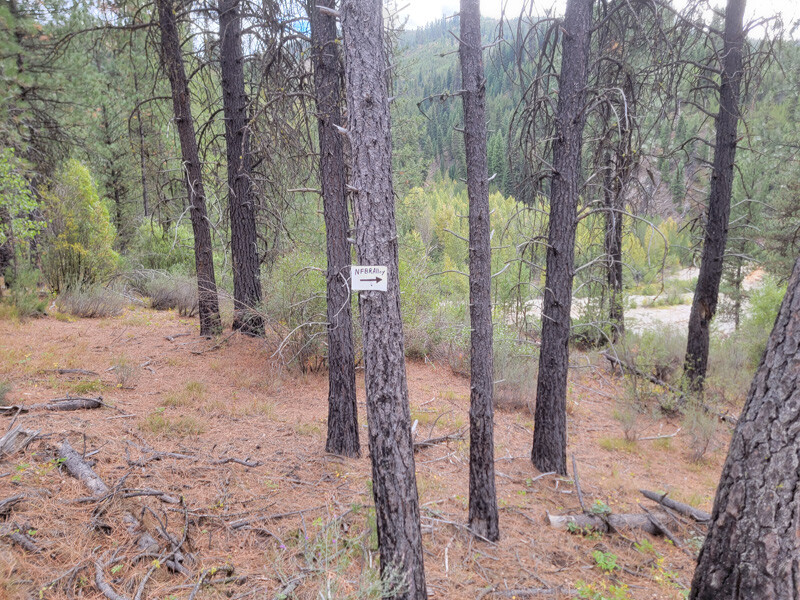
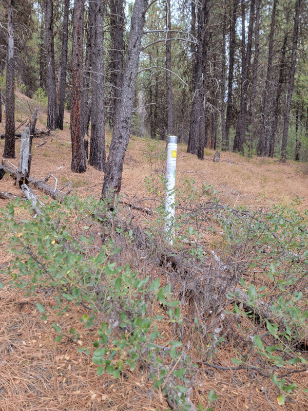
NF BR Deposits
Price: $3,000 Sale Pending
- Acreage: 20 acre unpatented placer claim
- River footage: 1050’ of the NF Boise River - 3 camping areas on claim
- Location: Boise & Elmore County, Twn. 7N, Rng. 8E, Sec. 36, SW ¼
- Mining claim serial #: ID106847405
Map to Claim
Coordinates
Marker Latitude/ Longitude
NW 43.90004’N, -115.46571’W
NE 43.90004’N, -115.46082’W
SE 43.89828’N, -115.46082’W
SW 43.89828’N, -115.46571’W
Marker Degrees/Minutes/Seconds
NW 43°54’00.1440”N, -115°27’56.5560”W
NE 43°54’00.1440”N, -115°27’38.9520”W
SE 43°53’53.8080”N, -115°27’38.9520”W
SW 43°53’53.8080”N, -115°27’56.5560”W
Aerial & Topo Images
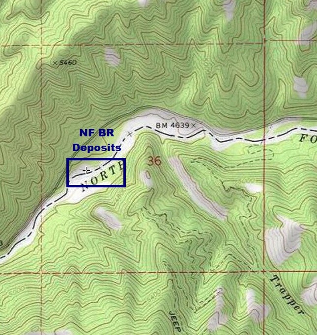
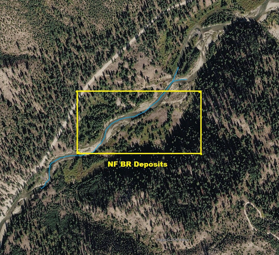
Images
NF BR Placers
Sold
- Acreage: 20 acre unpatented placer claim
- River footage: 1150’ of the NF Boise River
- Location: Boise & Elmore County, Twn. 7N, Rng. 8E, Sec. 36, SW ¼
- Mining claim serial #: ID106847406
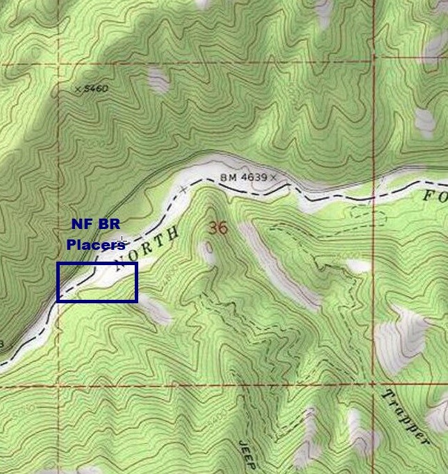
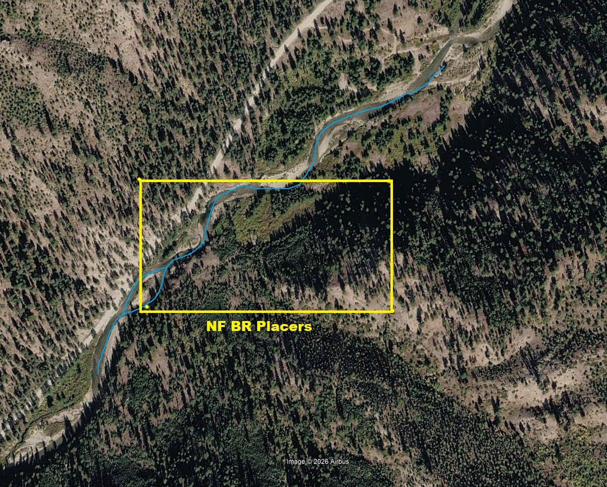
Map to Claim
Coordinates
Marker Latitude/ Longitude
NW 43.89828’N, -115.46811’W
NE 43.89828’N, -115.46318’W
SE 43.89645’N, -115.46318’W
SW 43.89645’N, -115.46811’W
Marker Degrees/Minutes/Seconds
NW 43°53’53.8080”N, -115°28’05.1960”W
NE 43°53’53.8080”N, -115°27’47.4480”W
SE 43°53’47.2200”N, -115°27’47.4480”W
SW 43°53’47.2200”N, -115°28’05.1960”W
Aerial & Topo Images
Images
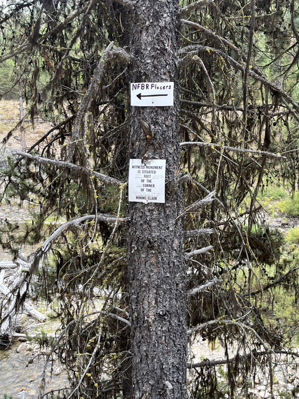
NF BR Gold
Sold
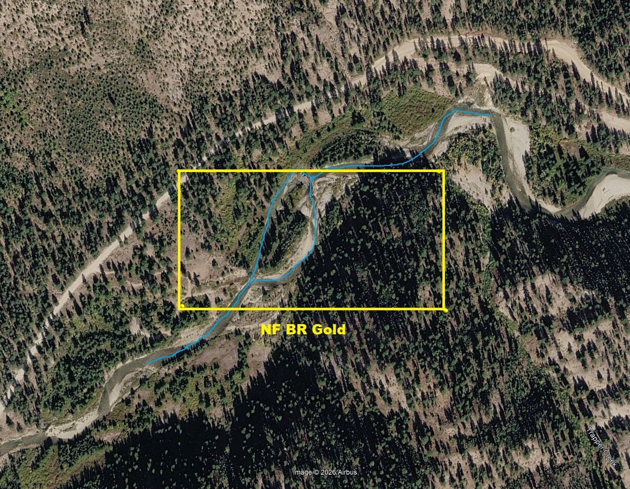
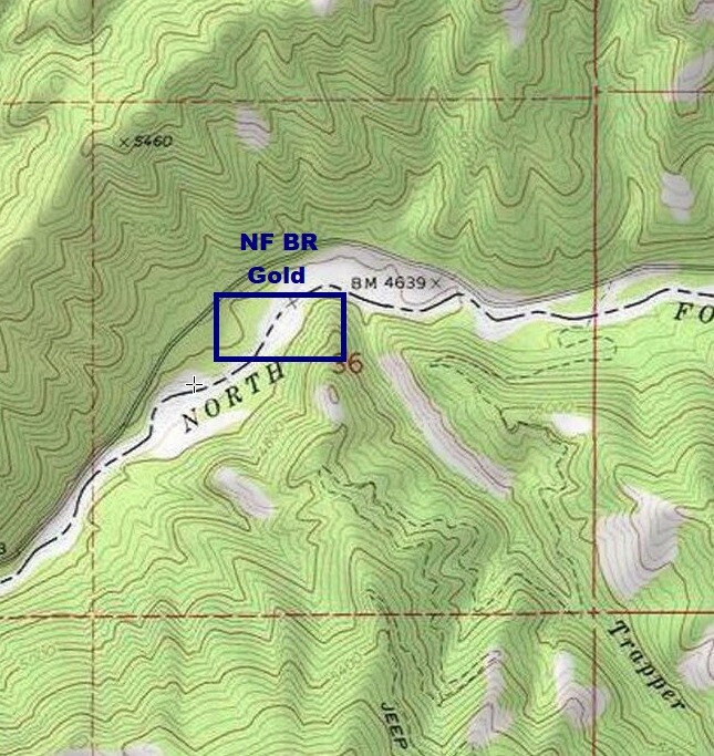
- Acreage: 20 acre unpatented placer claim
- River footage: 950’ of the NF Boise River - 2 camping areas on claim
- Location: Boise & Elmore County, Twn. 7N, Rng. 8E, Sec. 36, NW ¼
- Mining claim serial #: ID106847404
Map to Claim
Coordinates
Marker Latitude/ Longitude
NW 43.90187’N, -115.46318’W
NE 43.90187’N, -115.45833’W
SE 43.90004’N, -115.45833’W
SW 43.90004’N, -115.46318’W
Marker Degrees/Minutes/Seconds
NW 43°54’06.7320”N, -115°27’47.4480”W
NE 43°54’06.7320”N, -115°27’29.9880”W
SE 43°54’00.1440”N, -115°27’29.9880”W
SW 43°54’00.1440”N, -115°27’47.4480”W
Aerial & Topo Images
Images
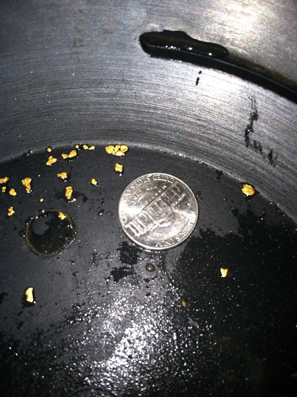
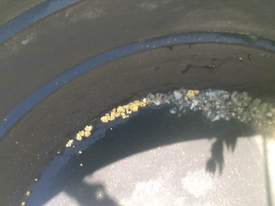
Show Me The Gold




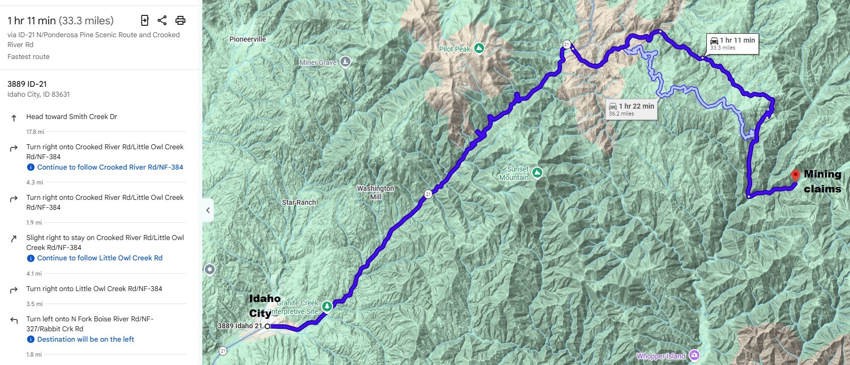
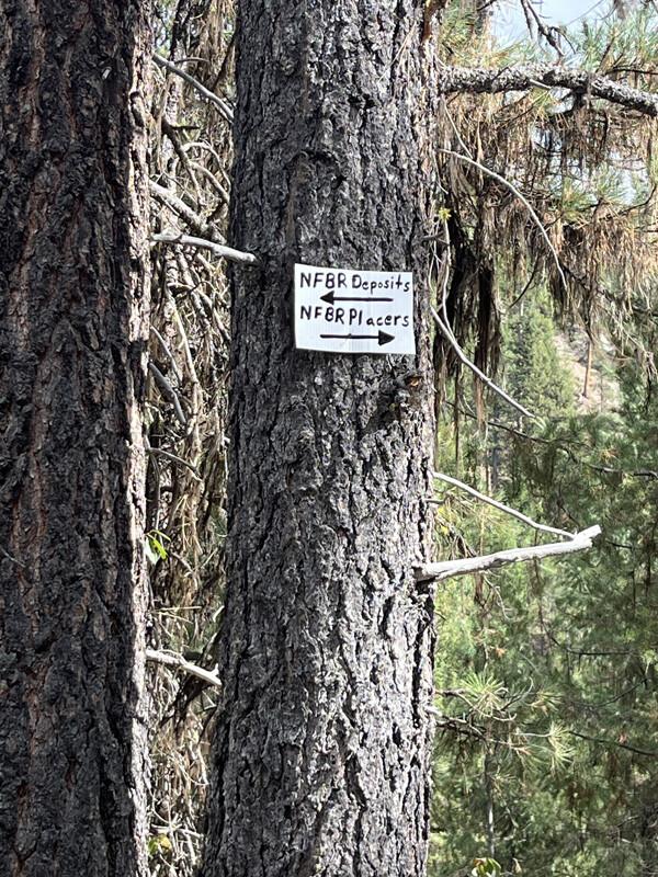
Fastest Driving directions to the claim: from Boise, travel north on HWY 21 to approximately 18 miles past Idaho City to the Jackson Peak Lookout turnout (Edna Creek Campground is at this junction). Head east on Crooked River Road (NF 384), you will stay on this road for approximately 13 miles, although there are some major junctions to be aware of; at 2 miles from HWY 21 you will come to the NF362 junction (stay right on main NF384 road), at 3.5 miles from HWY 21 you will be at the Jackson Peak junction (stay right on main NF384 road), at 5.5 miles you will come to the junction at Willow Creek Campground (stay right on main NF384 road), and at 8.5 miles from HWY 21, you will come to Little Owl Creek junction (keep forward on main road to NF Boise River/Atlanta). Once you have gone 13 miles on NF384 from HWY 21, you should reach NF327 junction (T intersection) which is at the NF of the Boise River, turn left on NF327, for approximately 1.8 miles to the start of the claims. Signage is posted clearly identifying the claim along the roadside.