Price: $13,500
Sale PendingMountain Chief / Mahogany
Overview
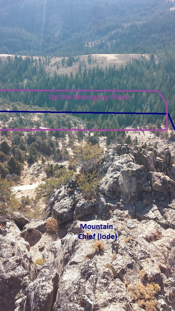
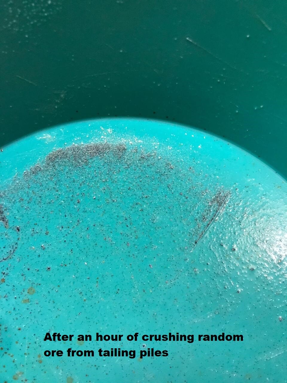
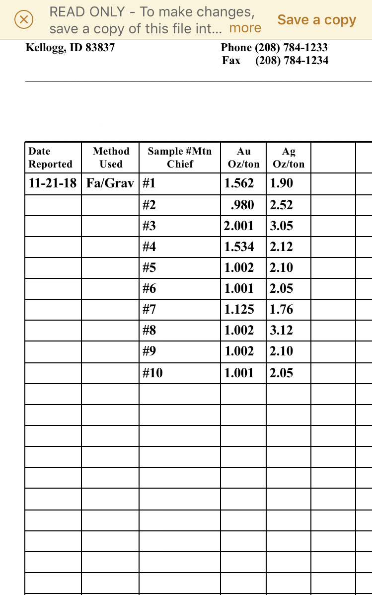
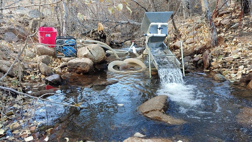
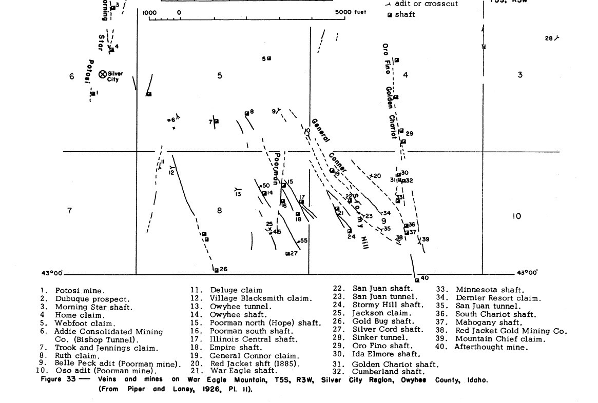
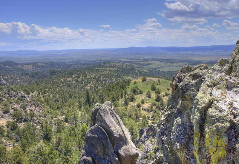
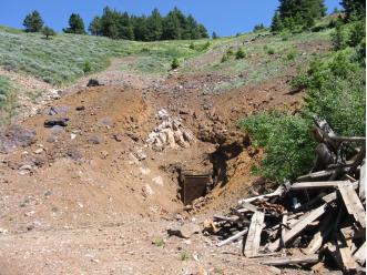
While as many of my clients can see, and what we “produce” for clients, are good viable mining claim in some exceptional areas for gold recovery. What we are often asked, is for me to “show” mining claims that we “don’t want to sell” which have proven ground and in areas that my company wants to hold onto. Here are two particular examples of mining claims (and you can verify on BLM’s website), that my company has been particularly holding onto (based on exceptional results) keeping these claims since early 2018 (which is the oldest mining claims for that section). People inquire about a placer recovery or lode recovery…well, this has BOTH. There is the 20+ acre Mountain Chief LODE mine, as well as the 19.6 acre “Up the Mahogany” placer mine (with BOTH being EXCEPTIONAL in the gold recovery). My company will only sell these together as a whole (not individually). While these were claims where we have been making improvements on for MANY years, you will see from the assays and gold content, why they have been “held onto”. This mine has its own road which deadends “at” the mine tunnel (just above Mahogany Gulch), with an old collapsed (from the late 1800s) stamp mill (giving own more isolated access). There are roughly 100 ton worth of ore from the lode mine staged next to the mill, where doing some basic assaying (see results below) had good results, but testing random exposed surface veins had some exceptional values. I have also done some additional “hand sampling” (picking at exposed vein structures and high-banking some placers) of both the hardrock material (of Mountain Chief) and placers (from Up the Mahogany), which the pictures should speak volumes. Yes, this claim is past the Fairview cemetery way up on War Eagle Mountain, but when you review the geological reports for Oro Fino Mine, the Chariot and the Cumberland mines… “Mountain Chief” (this lode) resides in alignment of all of those historic War Eagle establishments. Attached are also geological reports outlining these details so that you can see for yourself…and some of these maps of the claims are even printed onto some of those 50+ year old geological maps. Again, not a claim my company “wants” to sell, but will for the right price now.
Idaho Gold Mining is ONLY willing to sell these claims, being the lode of “Mountain Chief” and the placer “Up the Mahogany”, as a pair for $13,500
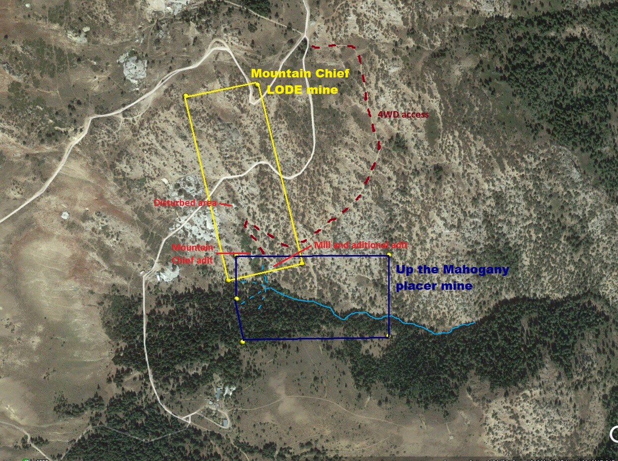
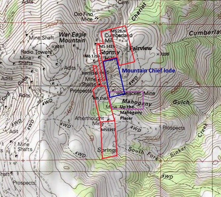
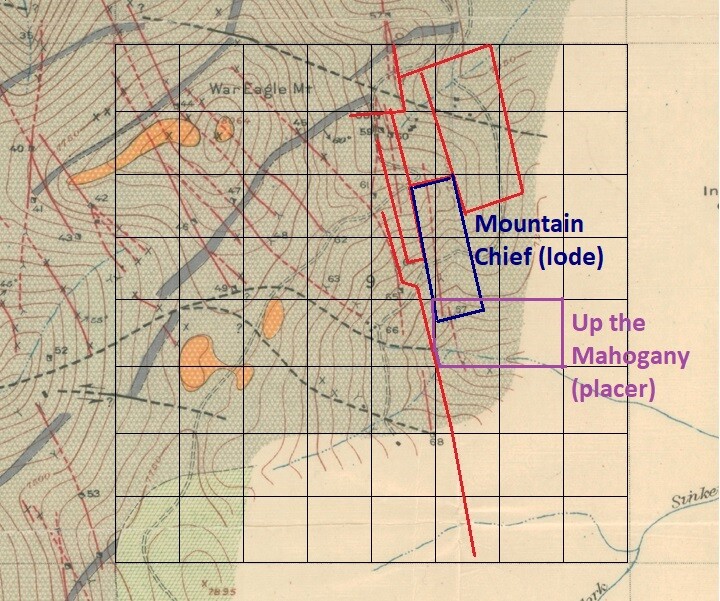
Mountain Chief
- Acreage: 20.66 acre unpatented lode claim
- River footage: “Mountain Chief” (aka Bluejacket) vein
- Location: Owyhee County, Township 5S, Range 3W, Sec. 09, NE & SE ¼
- Mining claim serial #: IMC225983 aka ID101763308
Map to Claim
Coordinates
Marker Latitude & Longitude
#1 NW 43.005570’N, -116.697510’W
#2 NE 43.005860’N, -116.695620’W
#3 SE 43.002150’N, -116.694460’W
#4 SW 43.001780’N, -116.696650’W
Marker Degrees, Minutes, Seconds
#1 NW 43°00’20.0520″N, -116°41’51.0360″W
#2 NE 43°00’21.0960″N, -116°41’44.2320″W
#3 SE 43°00’07.7400″N, -116°41’40.0560″W
#4 SW 43°00’06.4080″N, -116°41’47.9400″W
Up The Mahogany
- Acreage: 19.6 acre unpatented placer claim
- River footage: 750’ Mahogany Creek
- Location: Owyhee County, Township 5S, Range 3W, Sec. 09, SE ¼
- Mining claim serial #: IMC223850 aka ID101785304
Map to Claim
Coordinates
Marker Latitude & Longitude
NW 43.002320’N, -116.69640’W
NE 43.002320’N, -116.69185’W
SE 43.000470’N, -116.69185’W
SSW 43.000470’N, -116.69619’W
SWW 43.001380’N, -116.69640’W
Marker Degrees, Minutes, Seconds
NW 43°00’08.3520″N, -116°41’47.0400″W
NE 43°00’08.3520″N, -116°41’30.6600″W
SE 43°00’01.6920″N, -116°41’30.6600″W
SSW 43°00’01.6920″N, -116°41’46.2840″W
SWW 43°00’04.9680″N, -116°41’47.0400″W
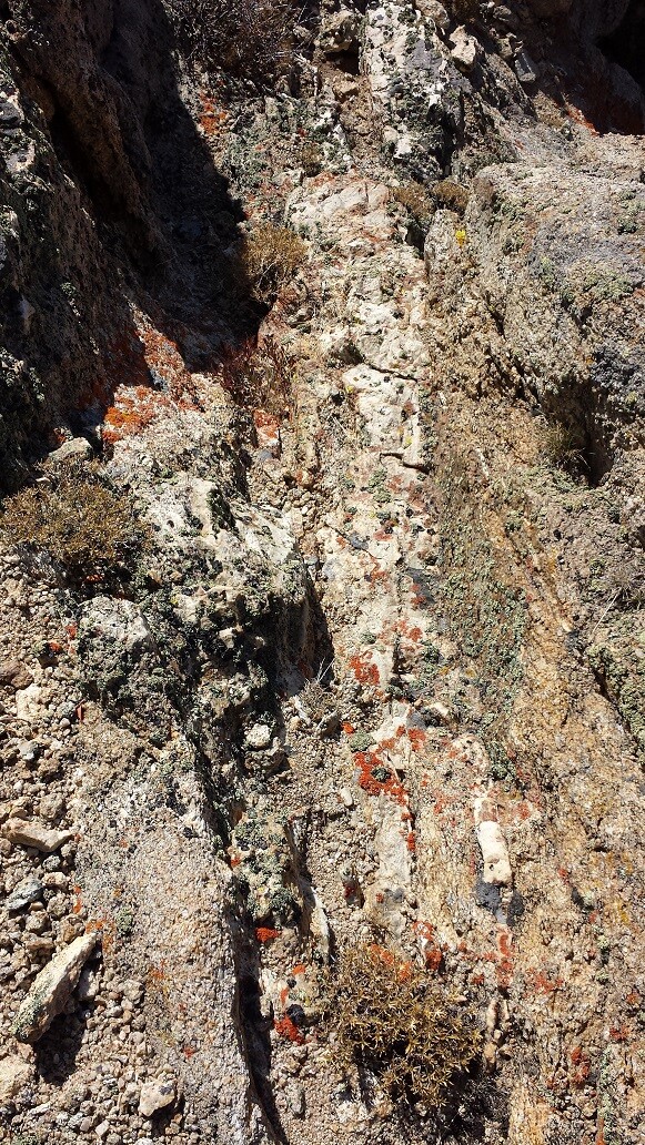
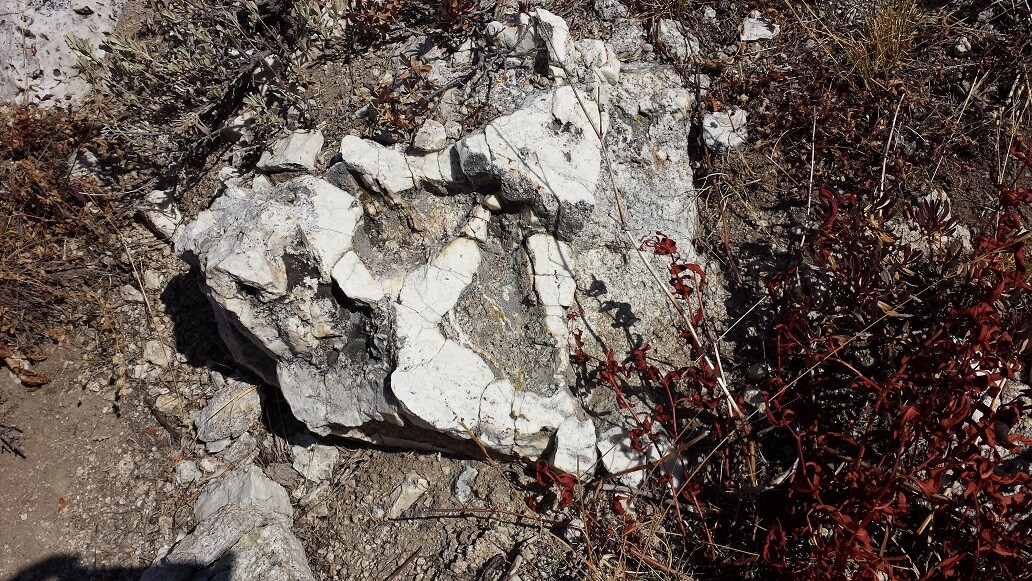
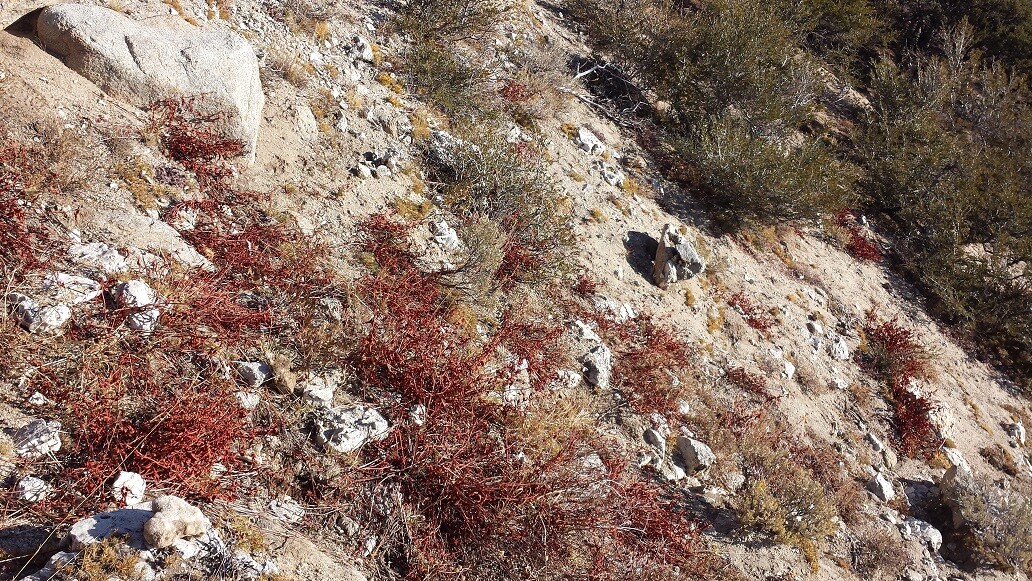
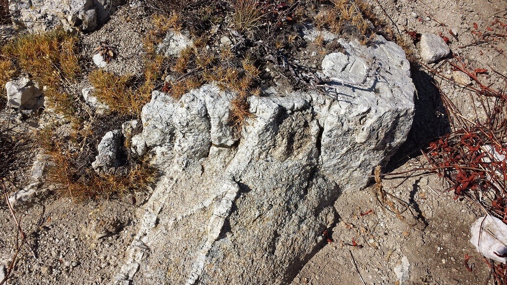
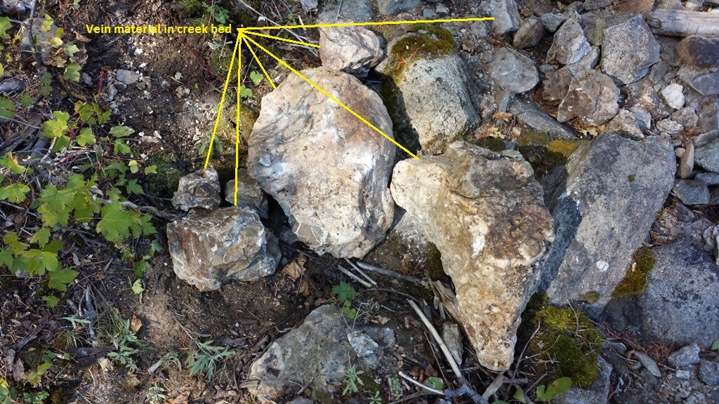
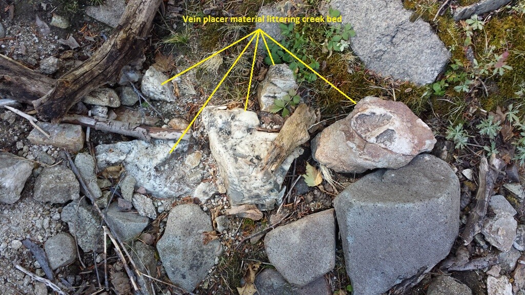
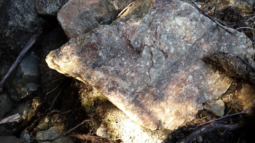
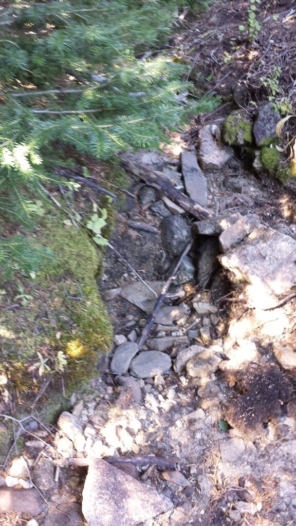
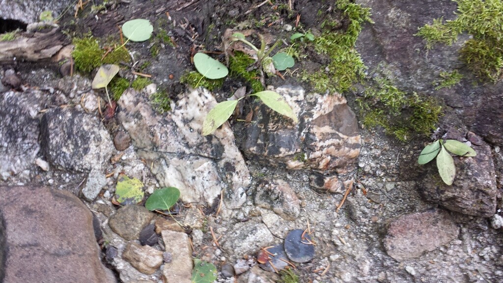
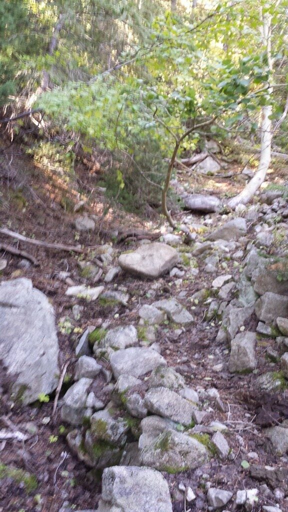
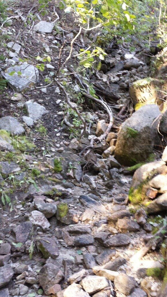
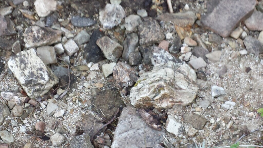
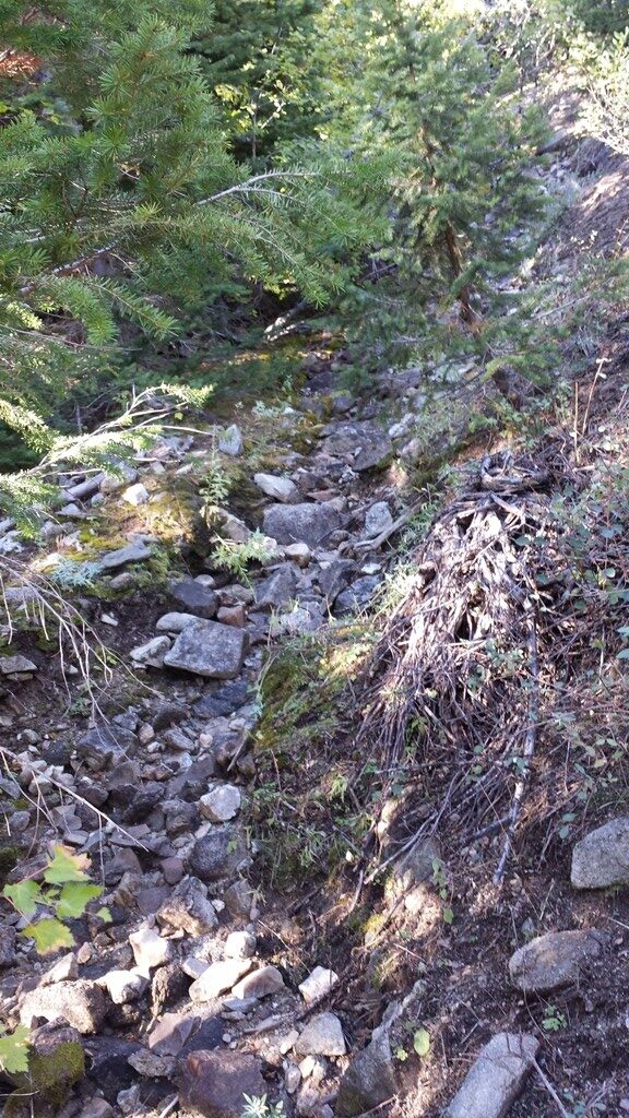
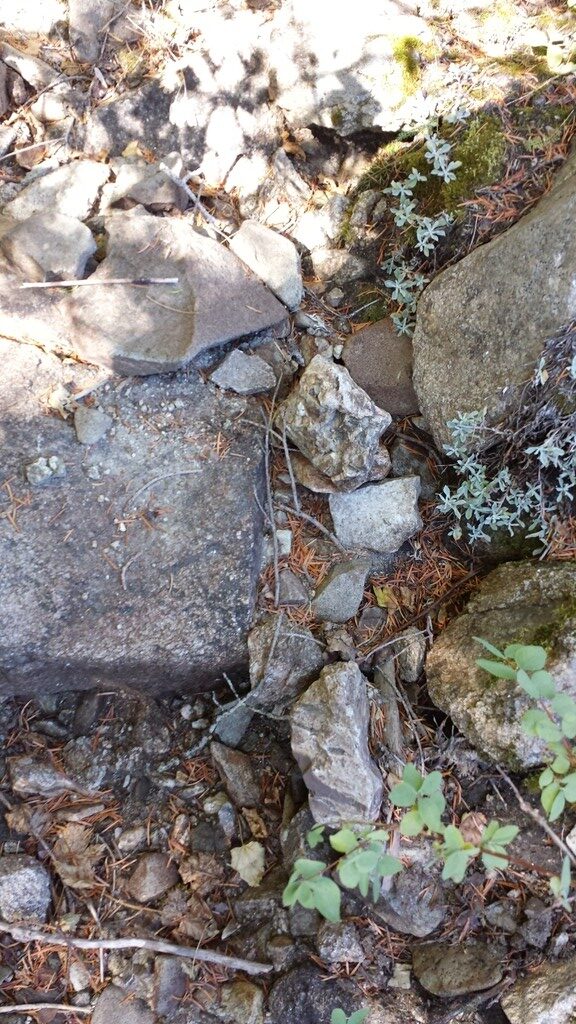
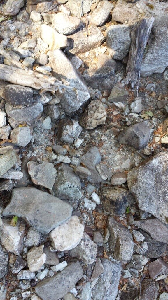
Show Me The Gold
Geological Reports:
P-138
TR-83-4
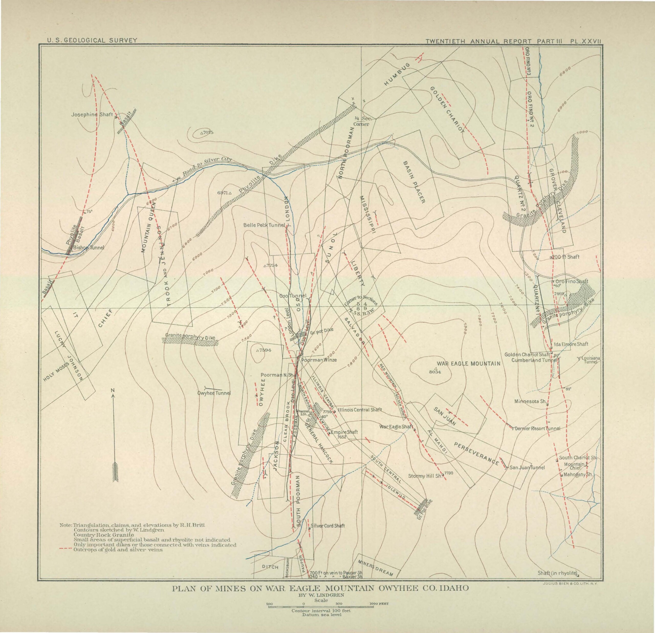

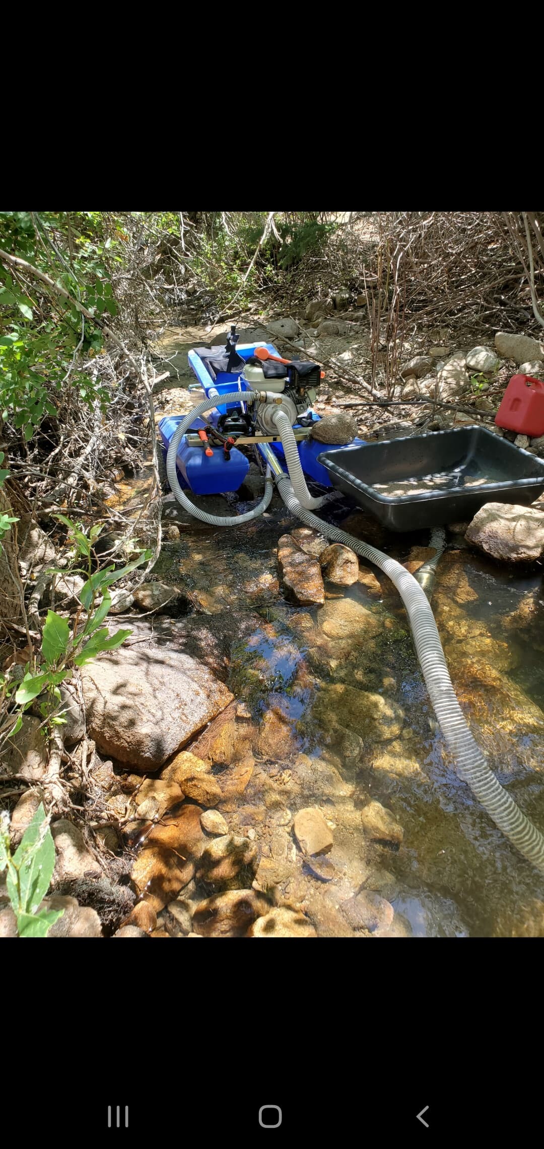
War Eagle Claim Area Images


Driving Directions: From Nampa, travel south on HWY 45 approximately 14 miles to the HWY 78 junction (road will naturally head east on HWY 78), head east on HWY 78 to approximately 4.5 miles past Murphy to the Silver City turnout, head southwest on the Silver City Road for approximately 18 & ½ miles (which is past the New York Summit pass & as you are heading down towards Silver City) turning left at Slaughterhouse Gulch. Take this main road for approximately 2.8 miles (stay on the main road, and left at the major forks). The last fork on the left is approximately 0.4 of a mile past the Fairview cemetery. From this location, turn left down on the 4WD road, and continue for approximately 0.3 of mile until the road ends. At this location, the mine shaft openings to Mountain Chief you already drove past (within 100’ walking distance) and the placer Up the Mahogany is approximately 200’ downhill. You will see a steady flow of water pouring out of the original mine opening (ample water to process lode or placer material) to Mountain Chief (with a secondary opening to the southwest higher up).