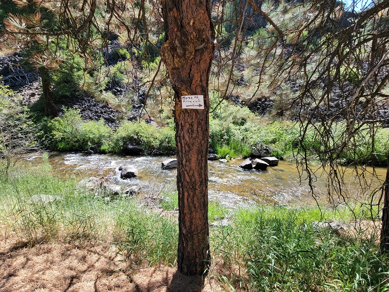
Mores #6
Grimes Creek Sold
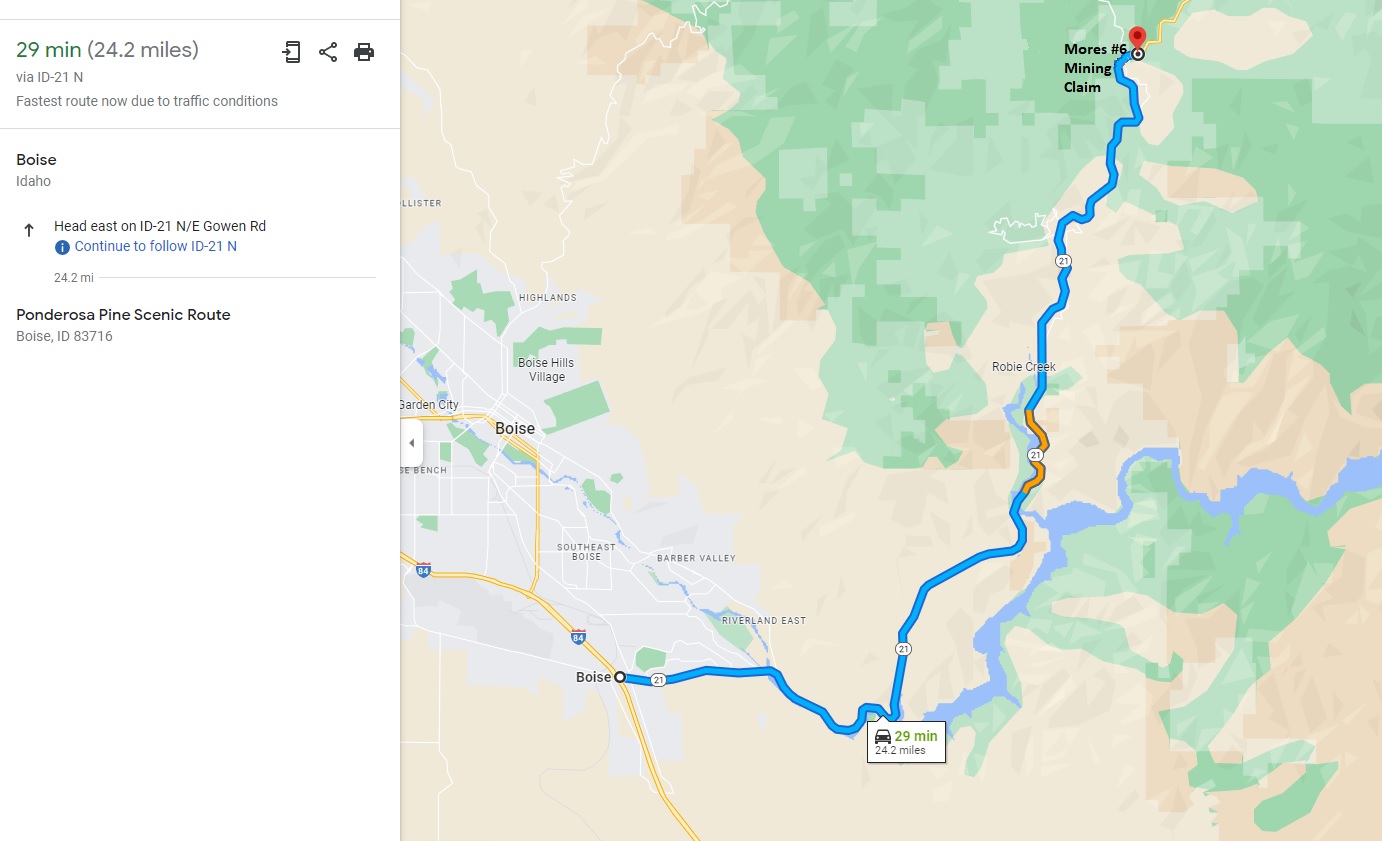
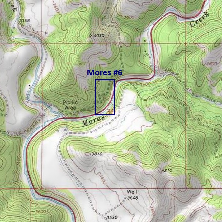
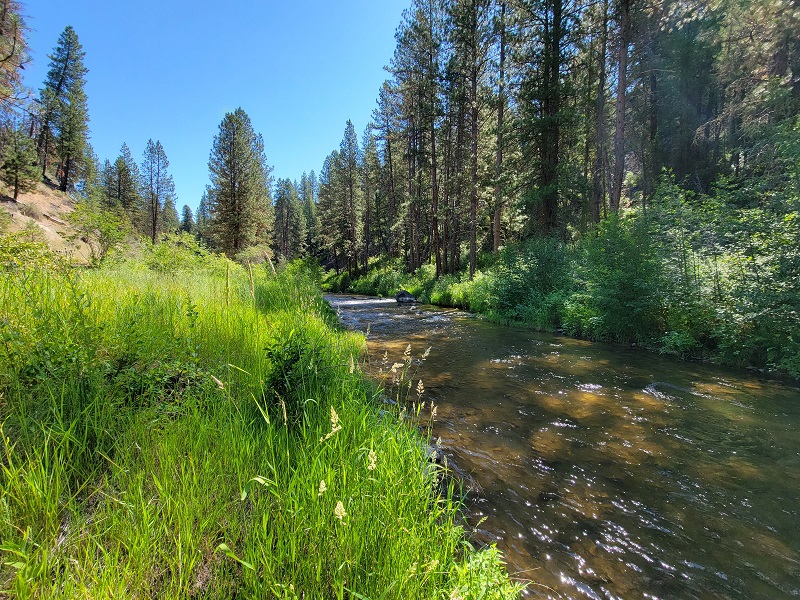
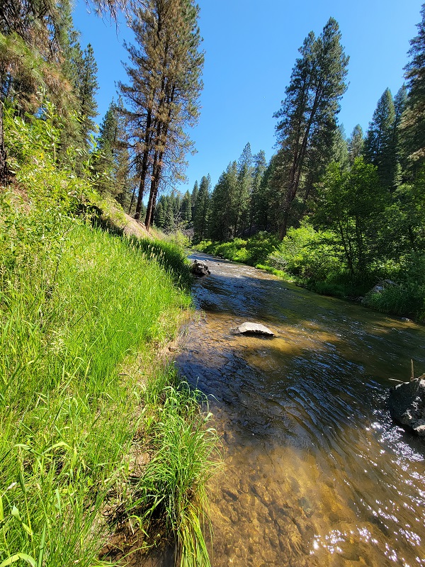
Mores #6 mining claim is located along the major gold bearing tributary directly on Mores Creek. This portion of Mores Creek is approximately 1000’ upstream of Grimes Creek. This rich gold bearing region, is the source of the countless deposits, making Mores Creek one of the most sought after areas, with high yields of gold to recover, for the various operations and productions that have occurred since the late 1800s. This claim is situated about 24 miles (about a 30 minute drive) outside of Boise directly off HWY 21. Did we mention dredging? This claim has an open dredging season to enable. So what are you waiting for? Grab that pick and shovel and unearth the mother lode.
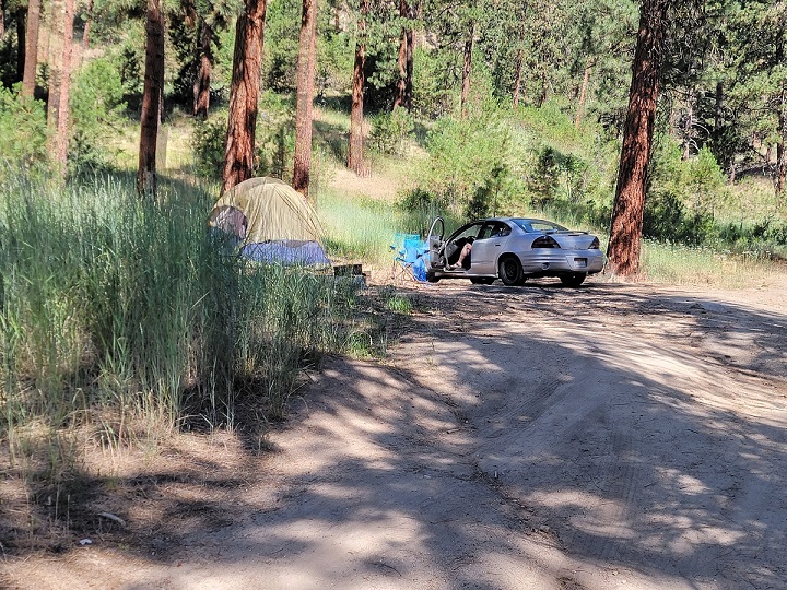
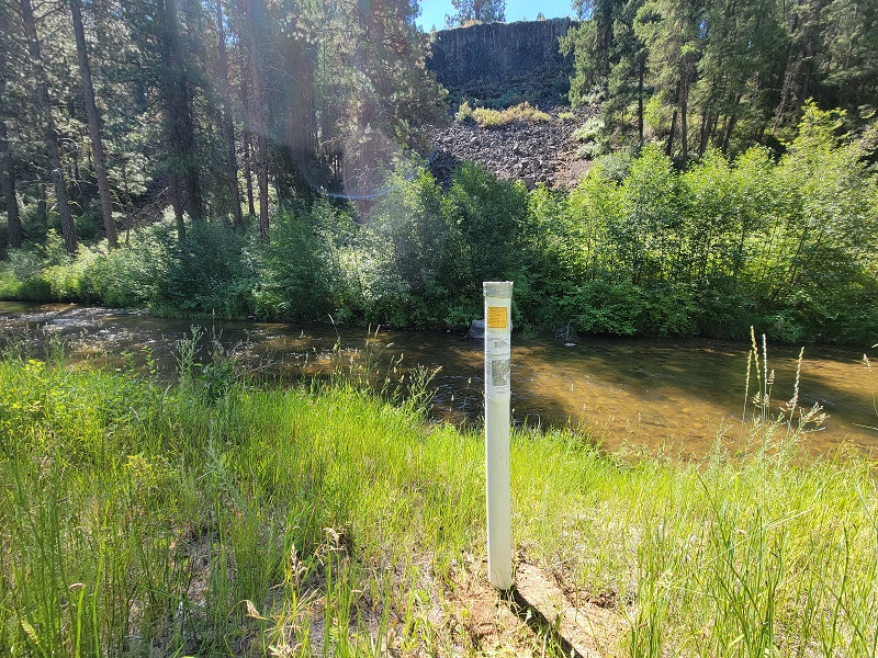
From the pictures below, it is clear to see why Mores Creek is a phenomenal area. On the claim is small pull out, large enough for a truck (to unload equipment), and at the junction at Grimes Creek there are ample places to park. On the northern end of the mining claim there is a camping spot off NF 311 (you can see from the aerial map below). Yes, HWY 21 is open year round, so while there is snow up in this area during the winter months, in late March it is mostly melted off in this elevation.
- Acreage: 20 acre unpatented placer claim
- River footage: 9000’ of Mores Creek
- Location: Boise County, Township 5N, Range 4E, Sec. 35 NW ¼
- Mining claim serial #: ID105816952
Map to Claim
Coordinates
Marker Degrees, Minutes, Seconds
NW 43°43’46.1280″N, -115°56’50.6040”W
NE 43°43’46.1280″N, -115°56’41.4960”W
SE 43°43’33.6000″N, -115°56’41.4960”W
SW 43°43’33.6000″N, -115°56’50.6040”W
Marker Latitude & Longitude
NW 43.72948°N, -115.94739°W
NE 43.72948°N, -115.94486°W
SE 43.72600°N, -115.94486°W
SW 43.72600°N, -115.94739°W
Maps

Images


Overview
Show Me The Gold


Driving Directions from I-84 in Boise: Take the Idaho City Exit 57 and turn left onto HWY 21. Stay on HWY 21 for approximately 24.3 miles until your reach the claim or approximately 1000’ past the Grimes Creek Junction.