Price: $2,000
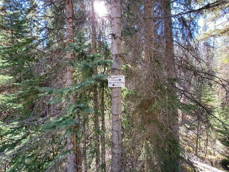
Sale PendingMayn Color
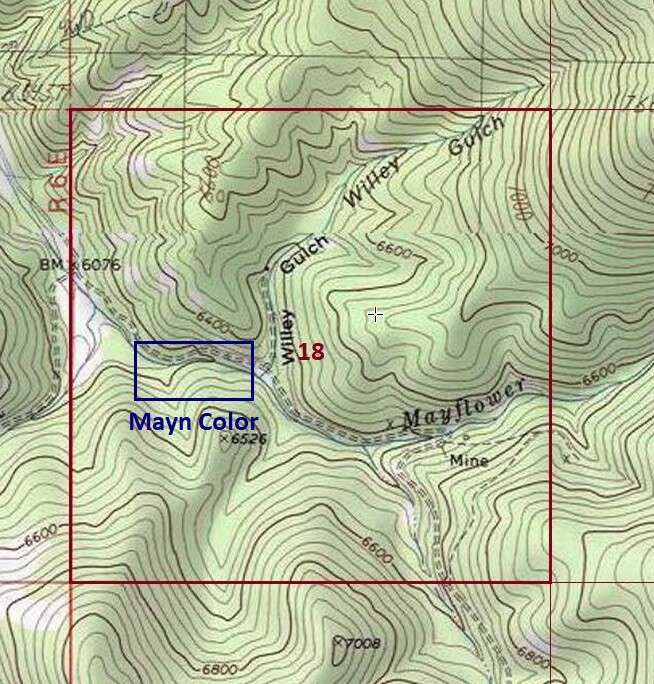
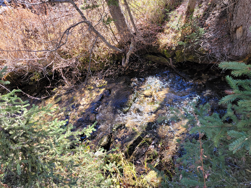
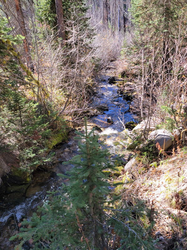
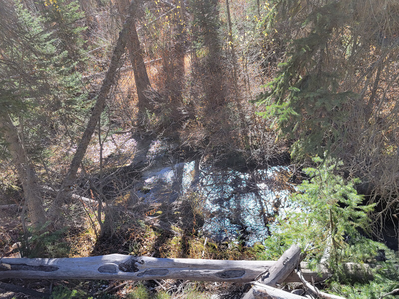
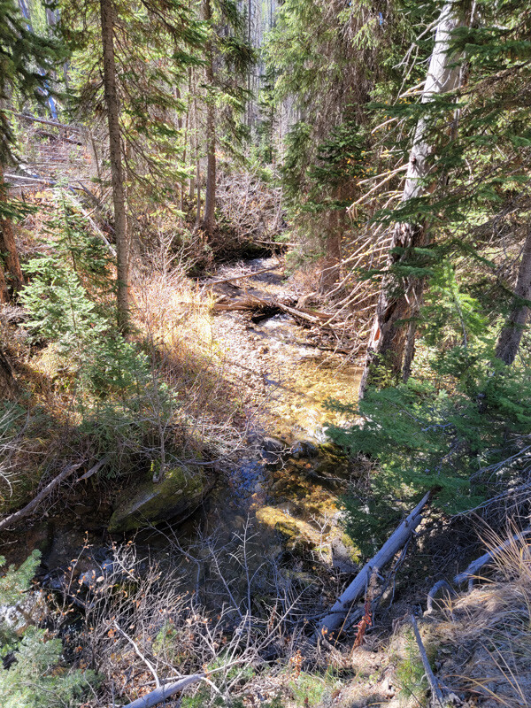
- Acreage: 20 acre unpatented placer claim
- River footage: 1350’ Mayflower Creek
- Location: Idaho County, Township 22N, Range 7E, Sec. 18, SW ¼
- Mining claim serial #: ID10632662
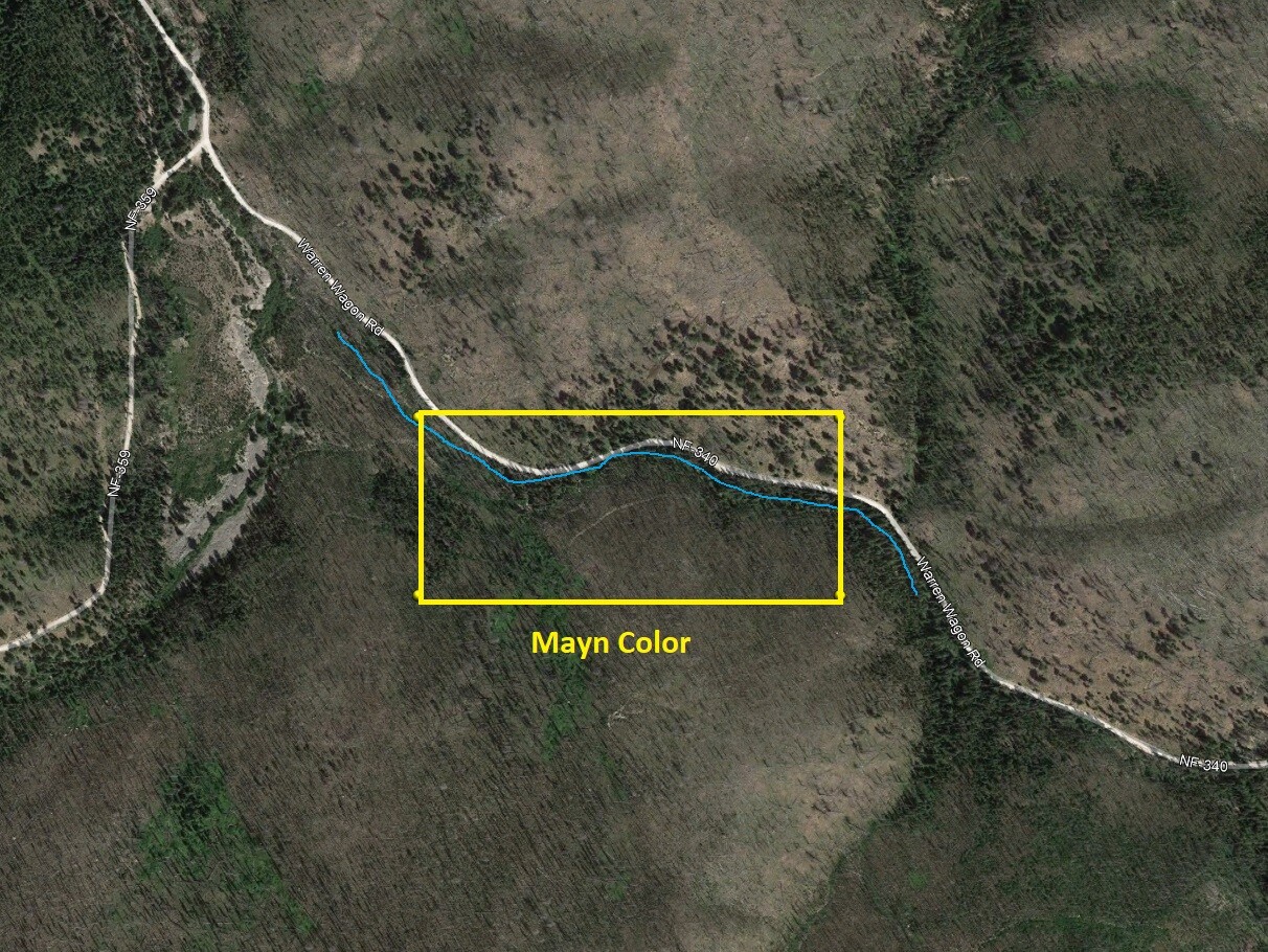
Map to Claim
Coordinates
Marker Degrees, Minutes, Seconds
NW 45°14’47.4360″N, -115°39’08.1360″W
NE 45°14’47.4360″N, -115°38’49.8480″W
SE 45°14’42.0000″N, -115°38’49.8480″W
SW 45°14’42.0000″N, -115°39’08.1360″W
Marker Latitude/Longitude
NW 45.24651’N, -115.65226’W
NE 45.24651’N, -115.64718’W
SE 45.24500’N, -115.64718’W
SW 45.24500’N, -115.65226’W
*Continue on NF 340 for 1.8 miles to claim (1000’ past NF 359 junction, & extends ¼ mile further up NF 340)
Maps
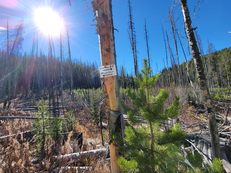
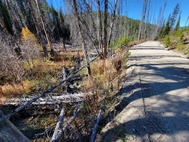
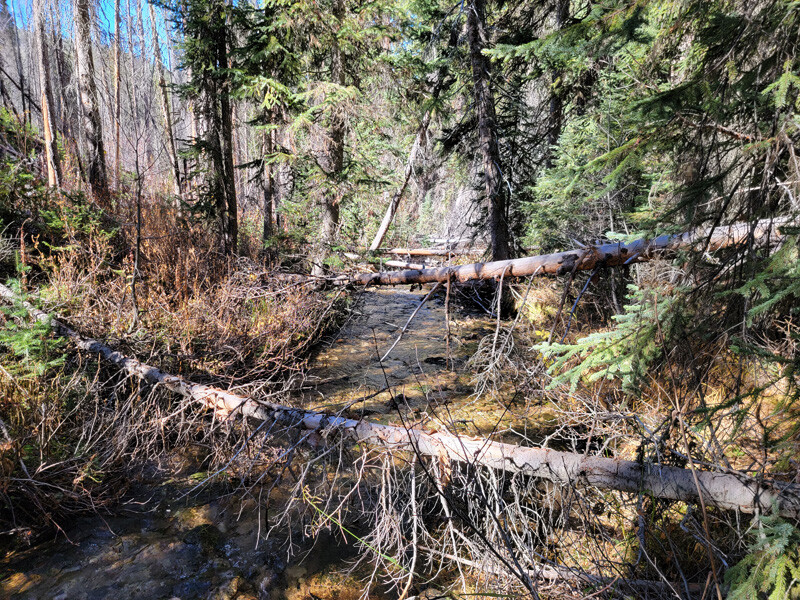
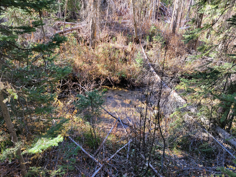
Images
Request more Information What's Included with Purchase FAQs