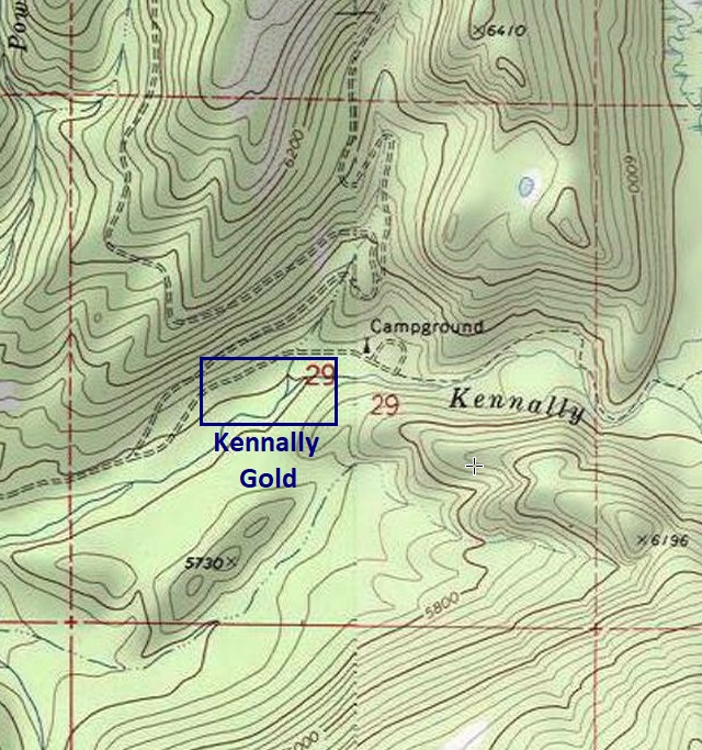
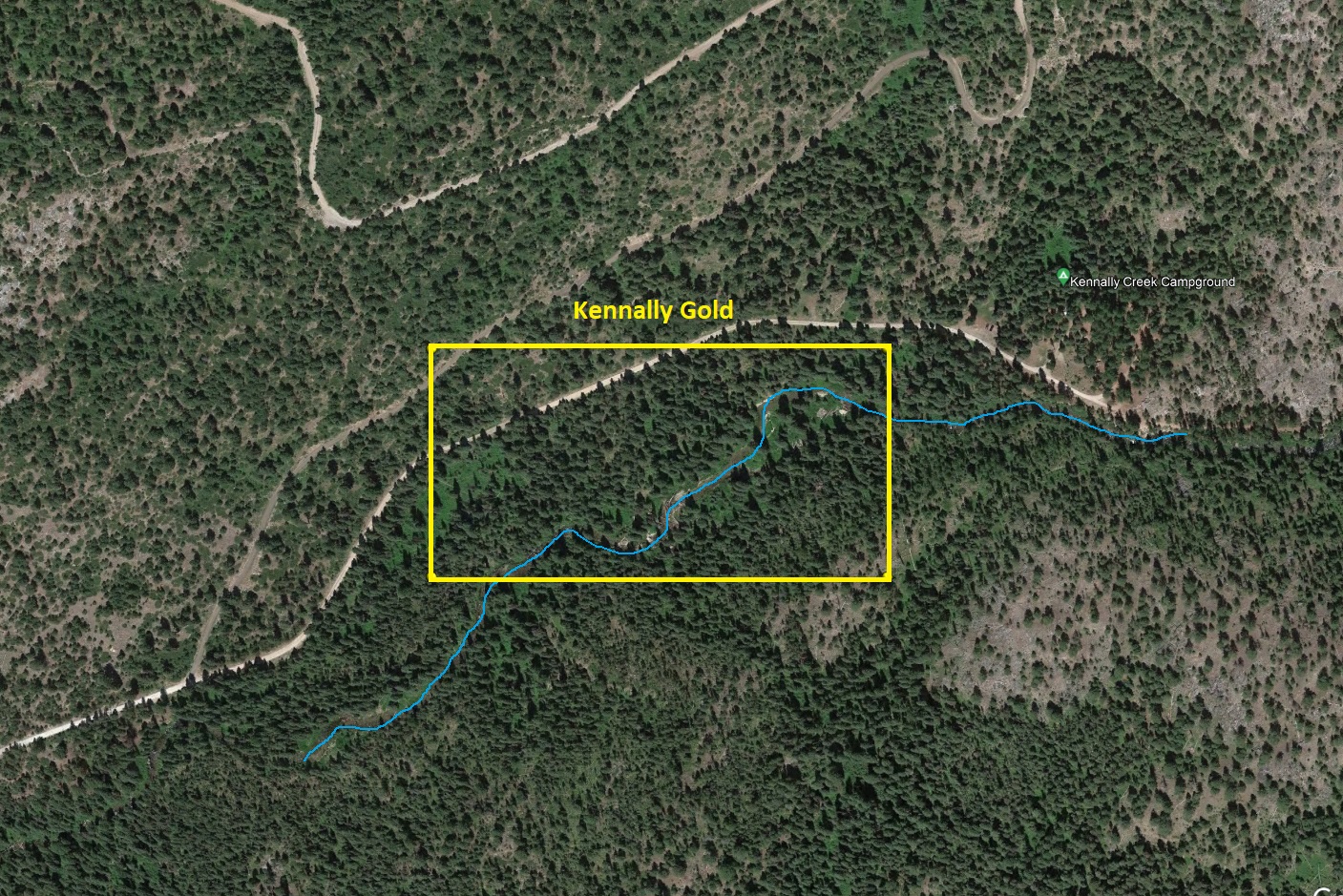
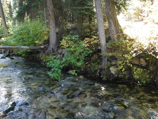
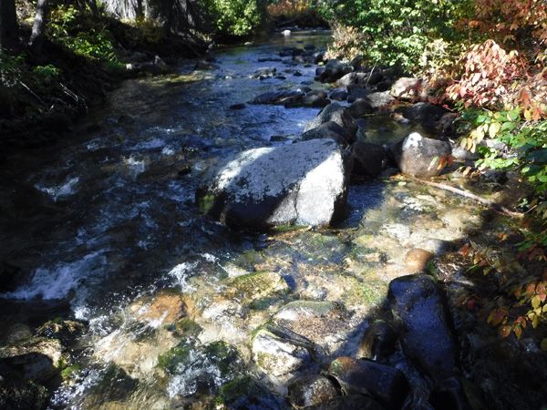
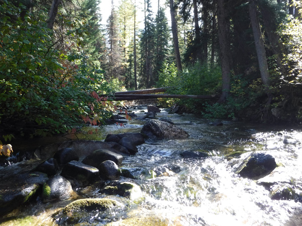
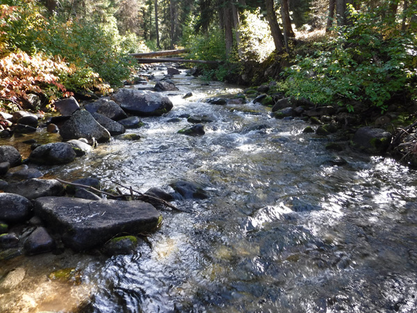
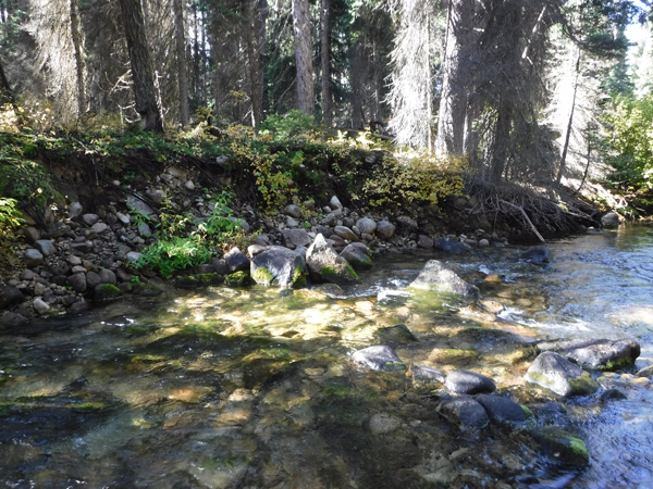
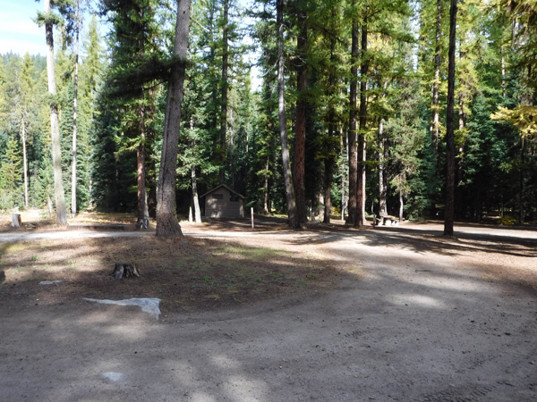
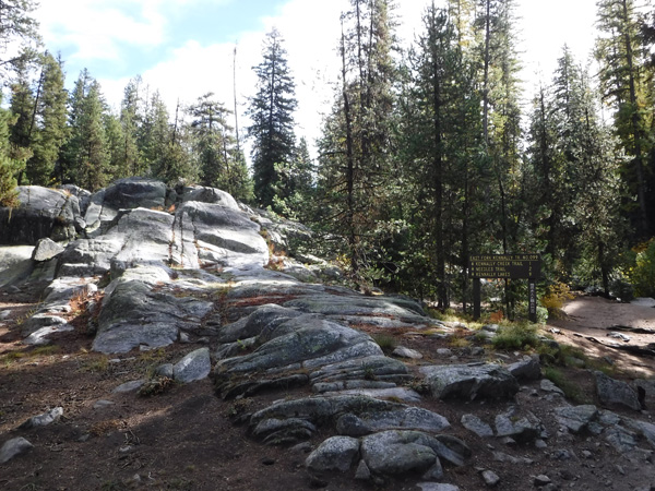
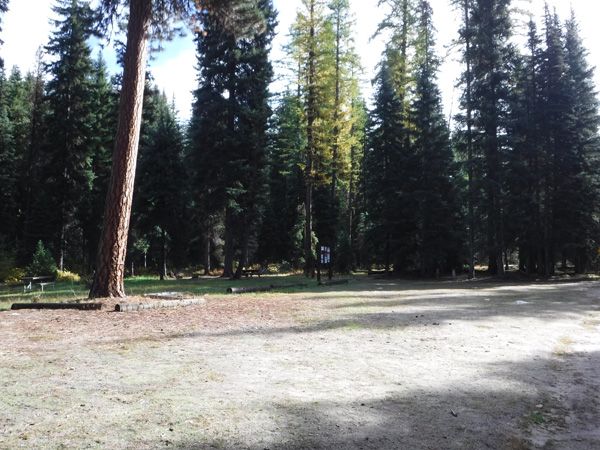
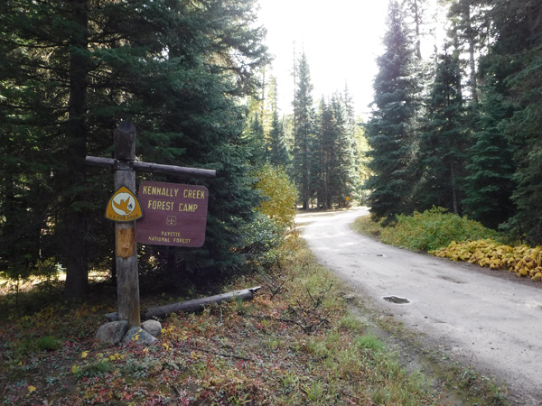
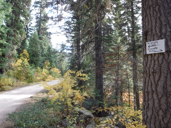
Kennally Gold
Paddy Flats Sold
- Acreage: 20 acre unpatented placer claim
- River footage: 1400’ Kennally Creek - Camping area “on” and the Kennally Creek Campground abutting claim
- Location: Valley County, Township 17N, Range 5E, Sec. 29, SW ¼
- Mining claim serial #: ID106322021
Map to Claim
Coordinates
Marker Degrees, Minutes, Seconds
NW 44°46’55.0920″N, -115°52’55.3080″W
NE 44°46’55.0920″N, -115°52’36.3000″W
SE 44°46’48.3960″N, -115°52’36.3000″W
SW 44°46’48.3960″N, -115°52’55.3080″W
Marker Latitude/Longitude
NW 44.78197’N, -115.88203’W
NE 44.78197’N, -115.87675’W
SE 44.78011’N, -115.87675’W
SW 44.78011’N, -115.88203’W
Maps
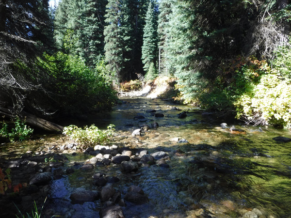
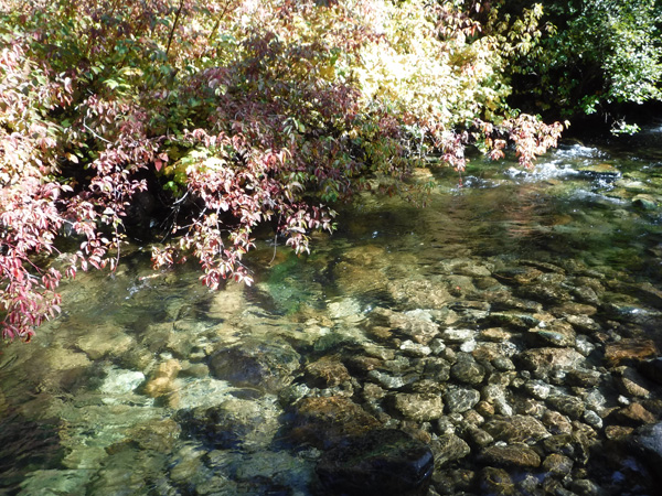
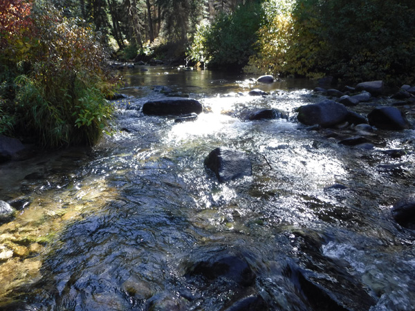
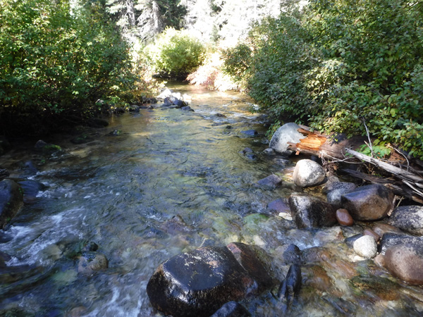
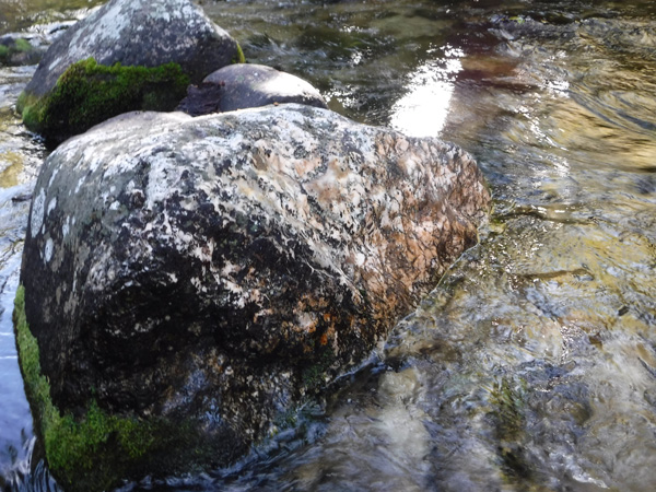
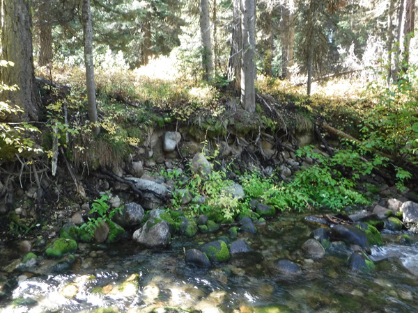
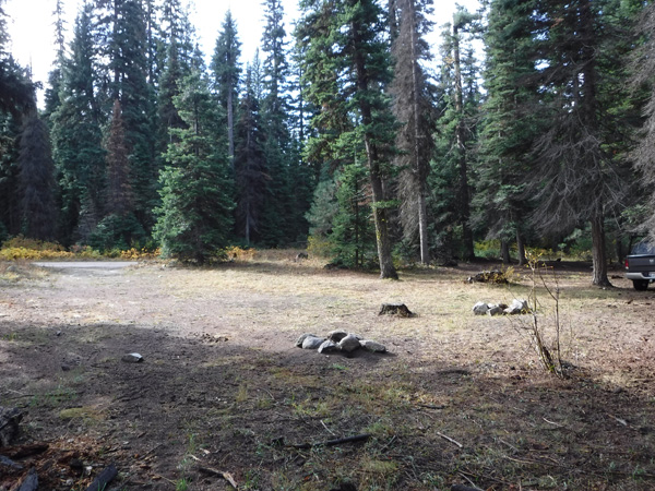
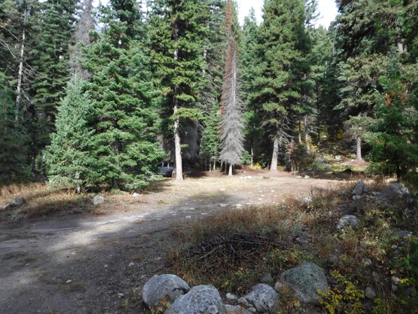
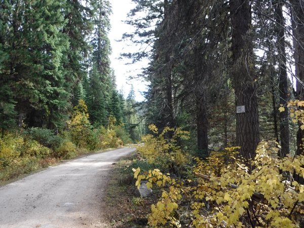
Images
Request more Information What's Included with Purchase FAQs