Rabbit Creek
Rabbit Creek Sold
Overview
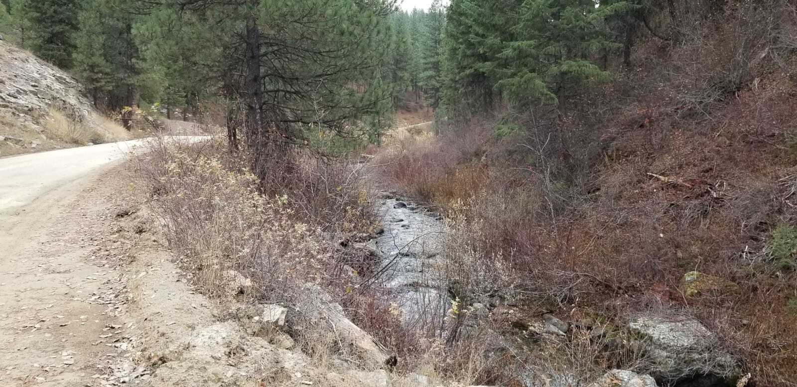
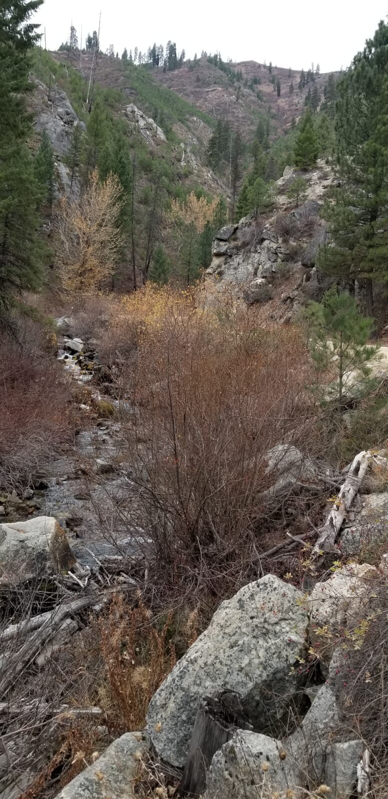
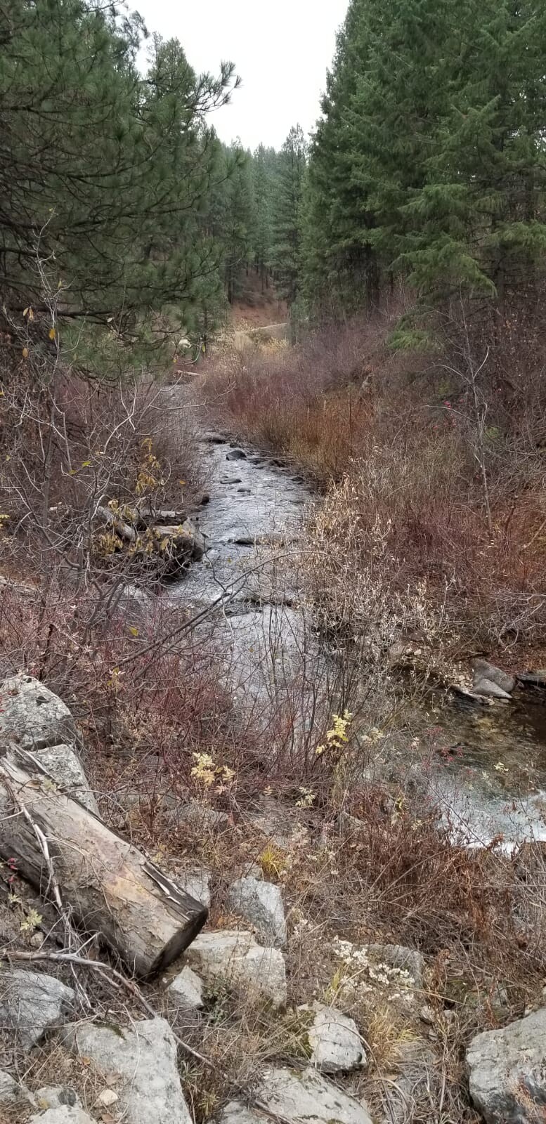
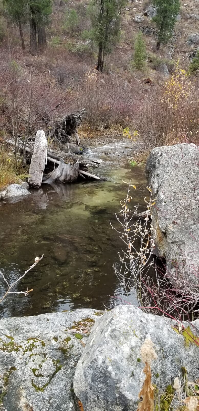
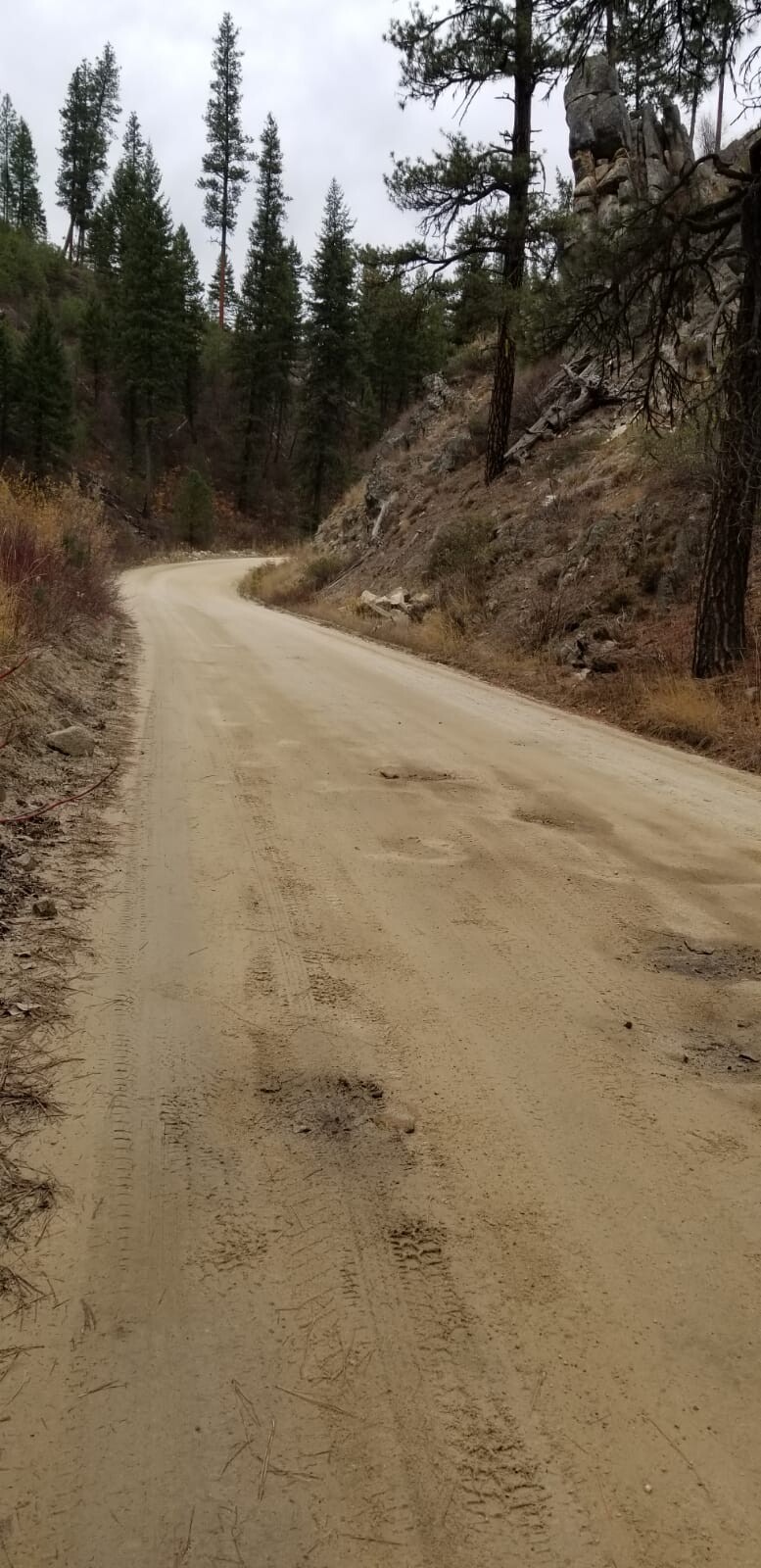
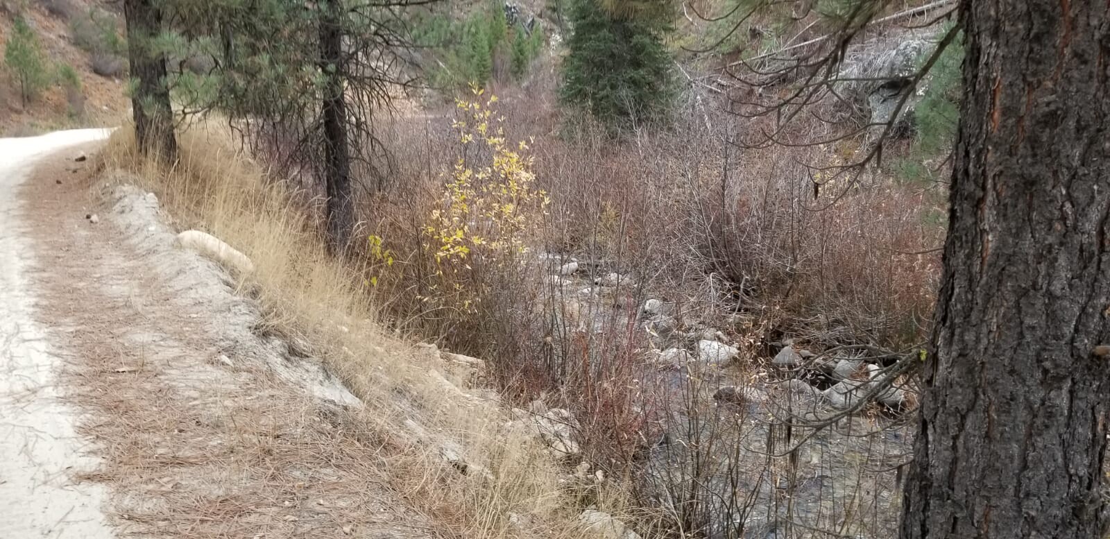
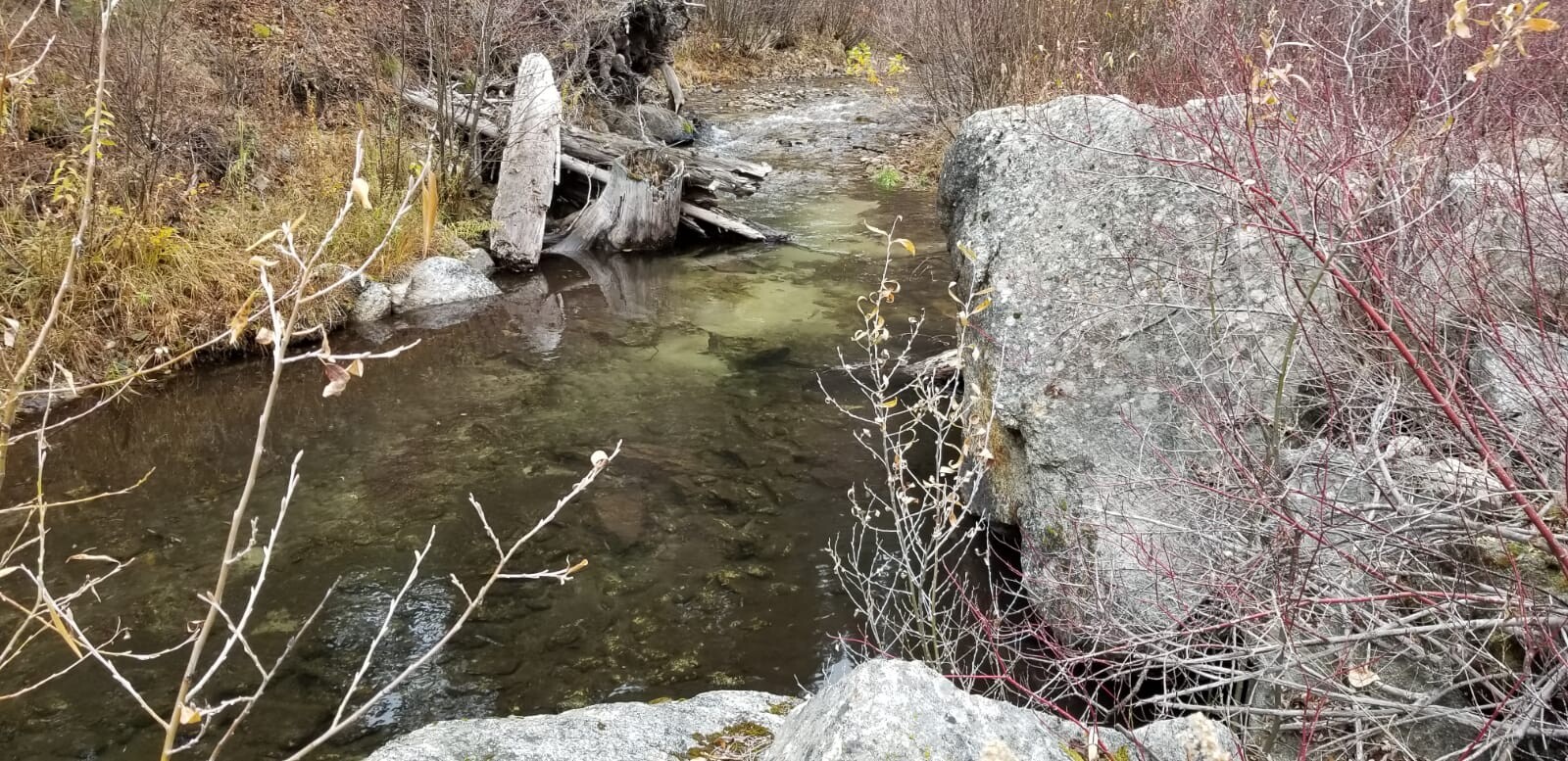
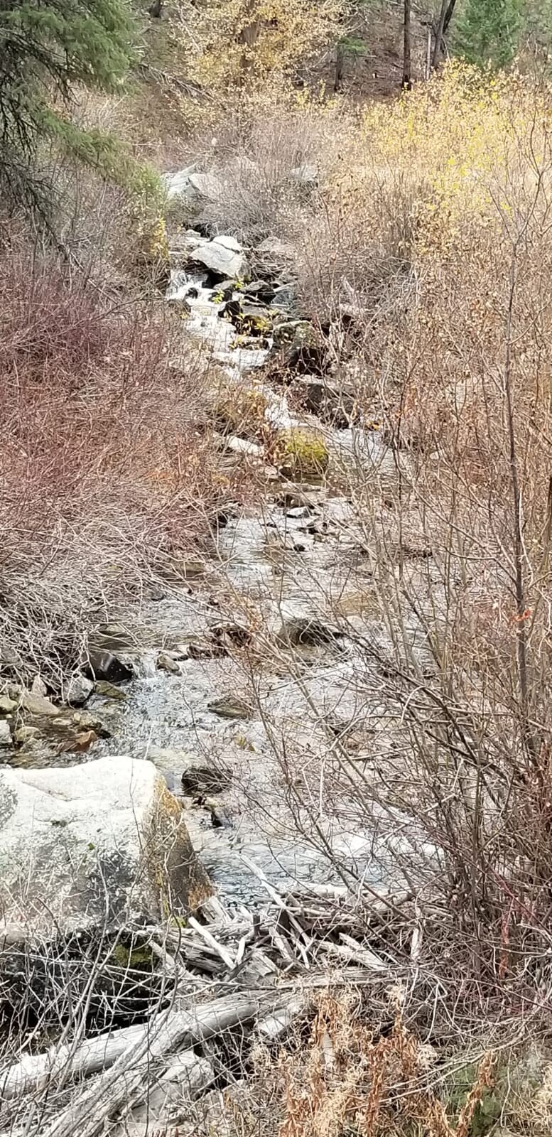
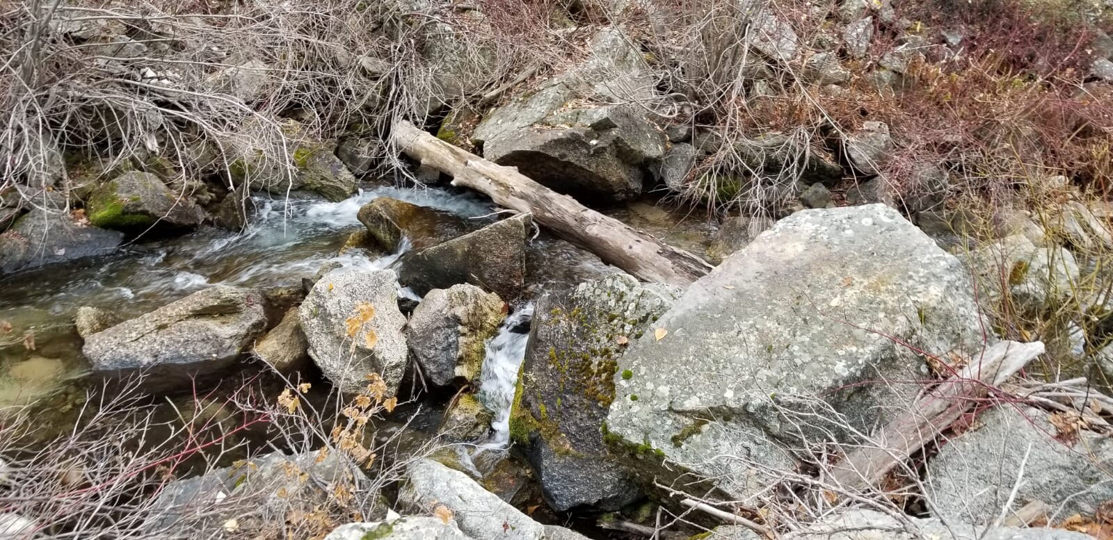
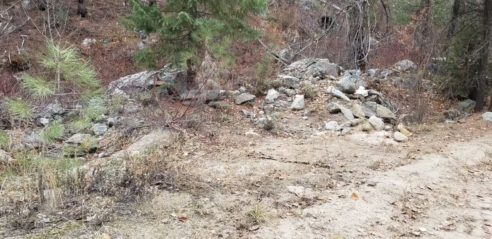
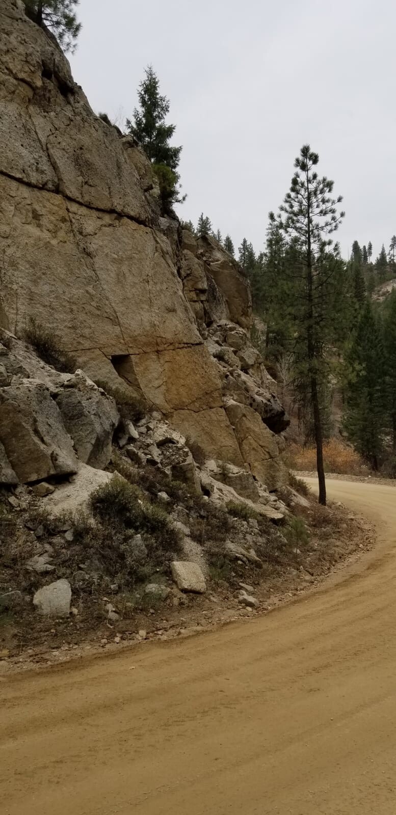
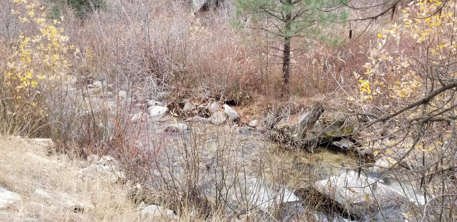
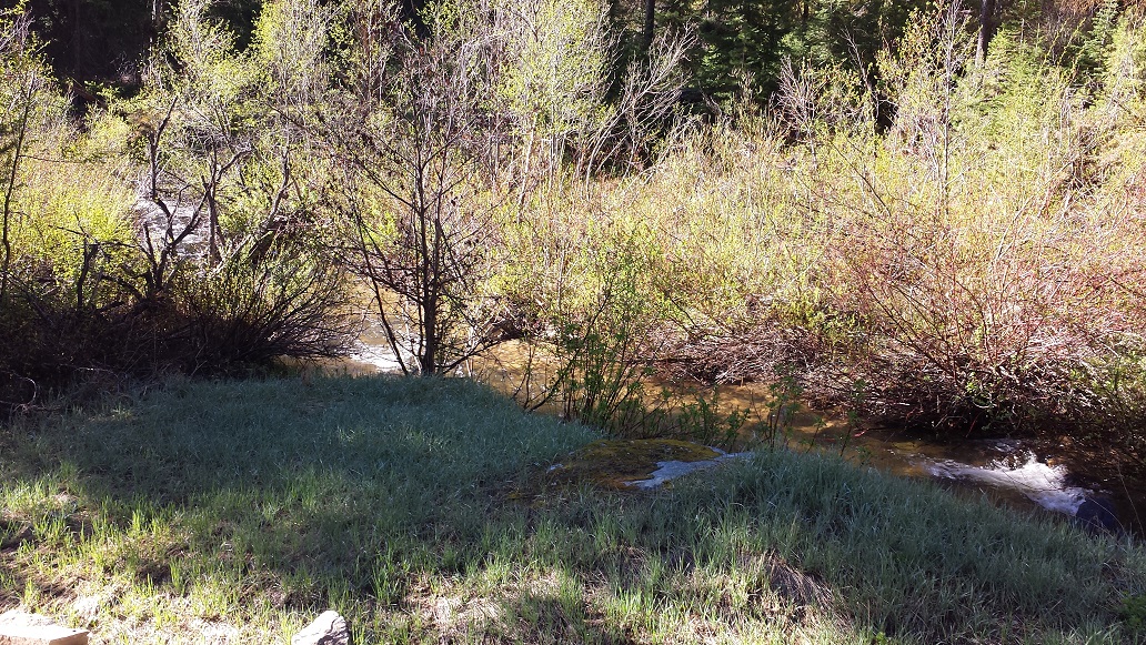
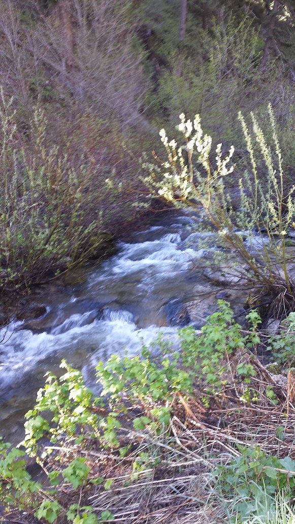
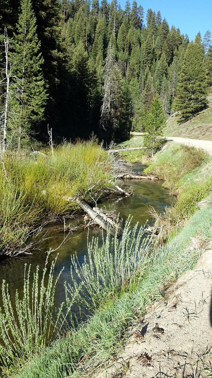
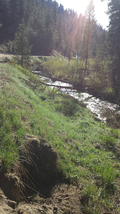
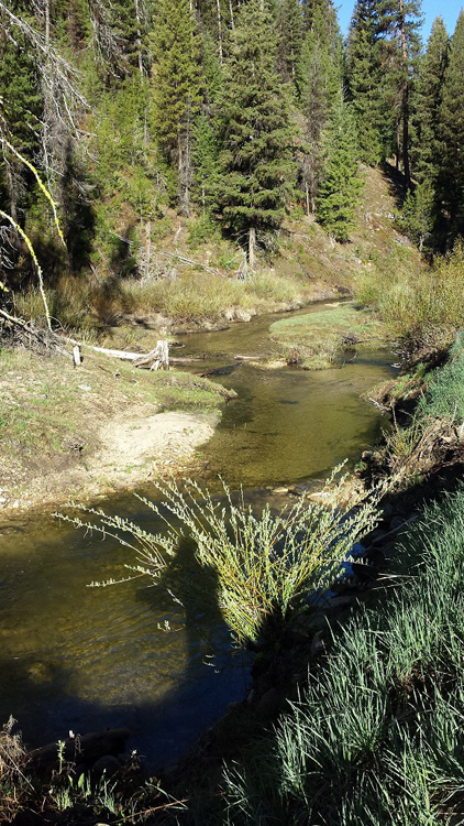
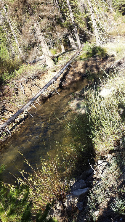
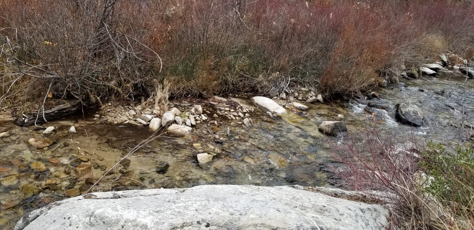
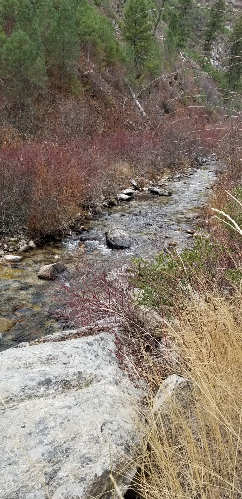
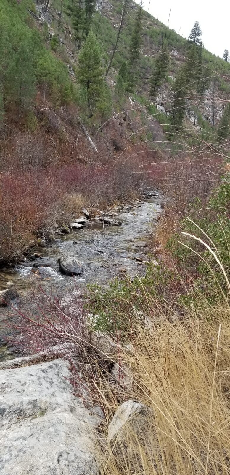
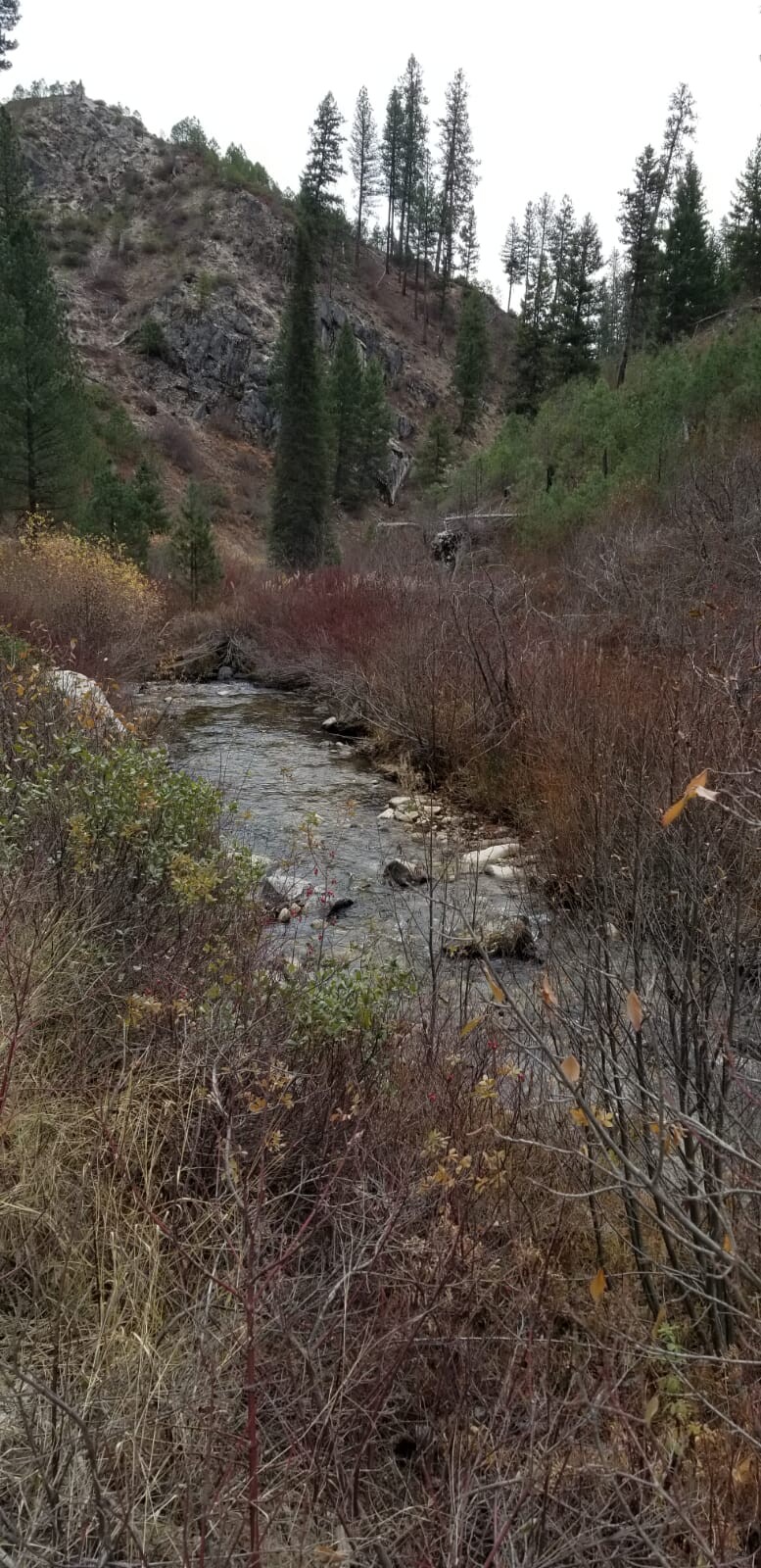
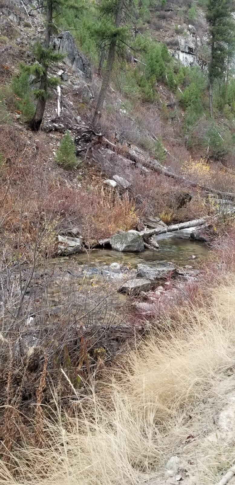
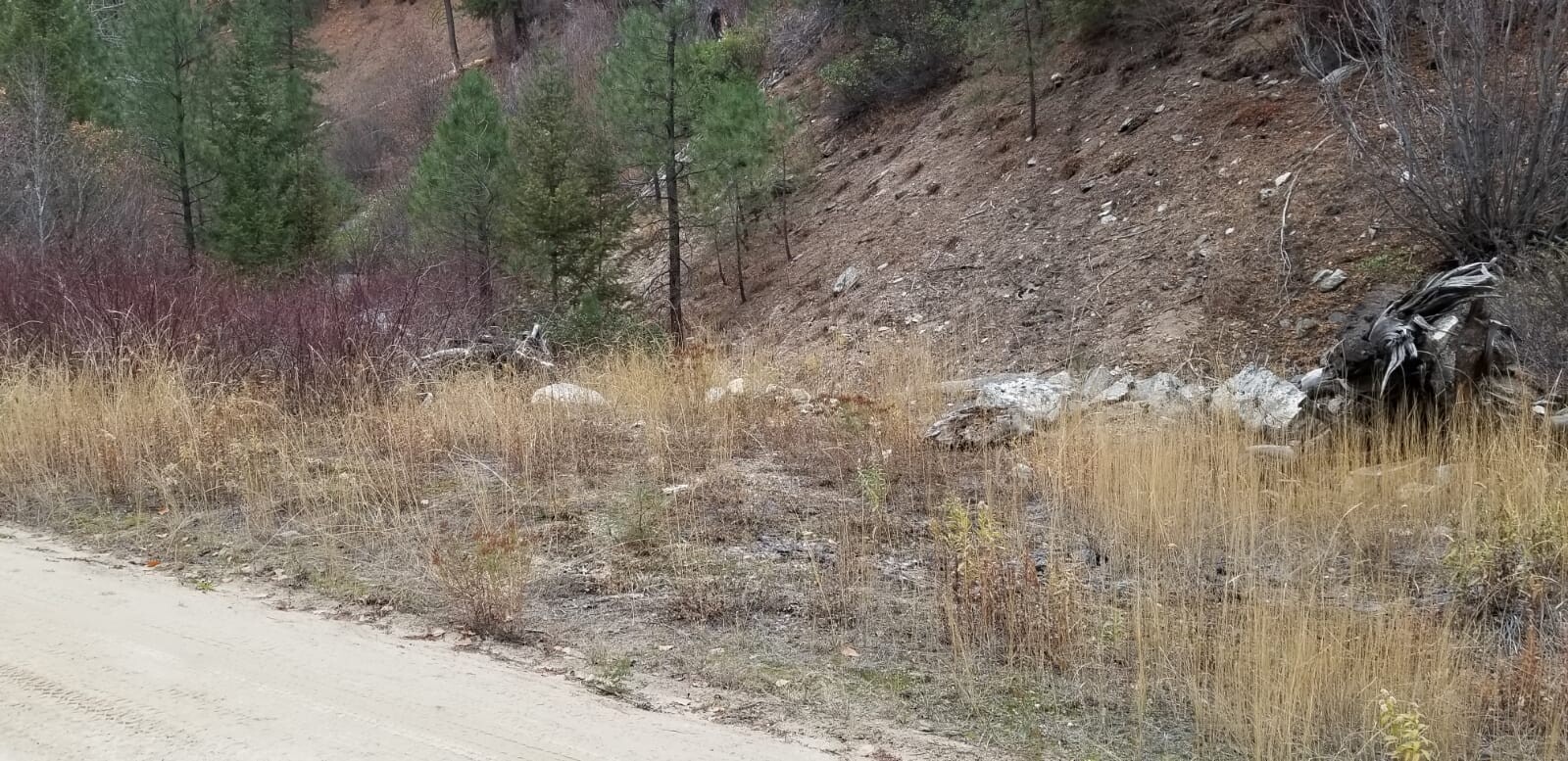
Rabbit Creek is an easy drive, about 12 miles outside the historic gold mining town of Idaho City. Located off the well maintained NF 327, I have accessed these mining claims in a 2WD car. Rabbit Creek has ample water for all kinds of possibilities. There are some old workings on the wide flats upstream of the claims, showing the rich values of deposits in this stream. Along these claims however, there aren’t the stacked rocks and tailings like you would typically see, from an area being gut punched…but with the equipment we have today, lots of working area and potential. Idaho City has full services, which again is only about a 20 to 30 minute drive from these claims. There are existing mining claims that encompass all up & down Rabbit Creek (abutting these claims to the east & west), and from the pictures illustrated in “Show me the Gold” (see below) & reports on the placers from the geological reports, it’s easy to understand how rich the prospects and potential is in here.
Idaho Gold Mining will offer bundle deals of $250 off each additional mining claim purchases.
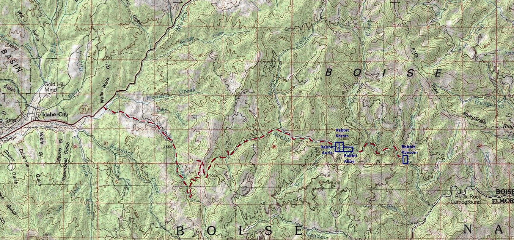
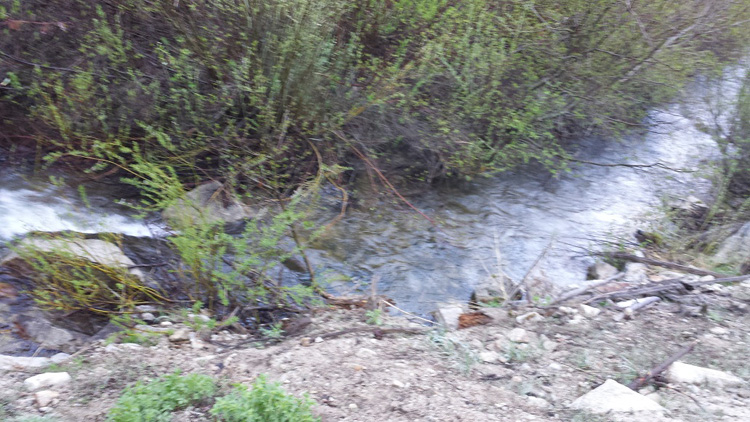
Rabbit Ransom
Sold
- Acreage: 20 acre unpatented placer claim
- River footage: 1300’ of Rabbit Creek
- Location: Boise County, Township 6N, Range 7E, Sec. 34, SW ¼
- Mining claim serial #: ID106778198
Map to Claim
Coordinates
Marker Degrees, Minutes, Seconds
NW 43°48’39.3120″N, -115°37’15.8160″W
NE 43°48’39.3120″N, -115°37’06.8520″W
SE 43°48’26.3880″N, -115°37’06.8520″W
SW 43°48’26.3880″N, -115°37’15.8160″W
Marker Latitude & Longitude
NW 43.81092’N, -115.62106’W
NE 43.81092’N, -115.61857’W
SE 43.80733’N, -115.61857’W
SW 43.80733’N, -115.62106’W
Aerial & Topo Images

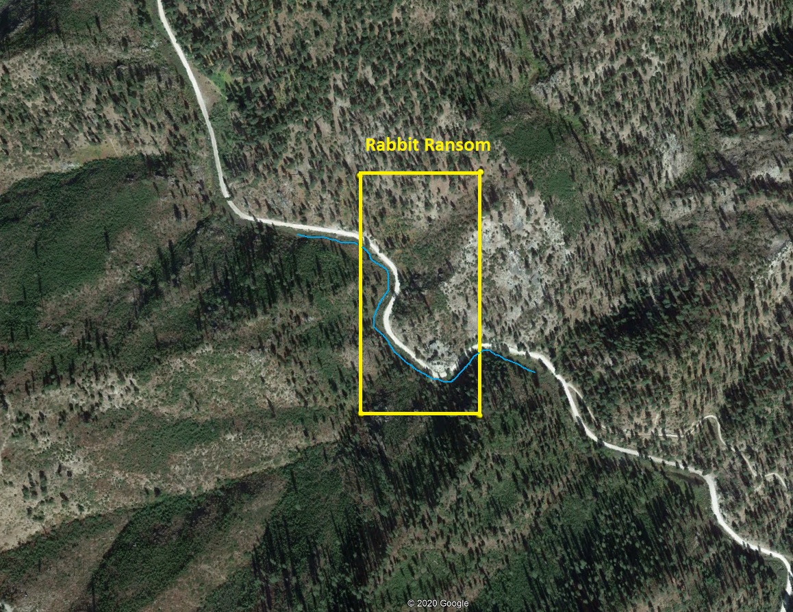
Images
Rabbit Alloy
Sold
- Acreage: 20 acre unpatented placer claim
- River footage: 1600’ Rabbit Creek
- Unpatented/patented: unpatented
- Location: Boise County, Township 6N, Range 7E, Sec.32, SE ¼
- Mining claim serial #: ID106778197
Map to Claim
Coordinates
Marker Latitude & Longitude
NW 43.81474’N, -115.65552’W
NE 43.81474’N, -115.65059’W
SE 43.81276’N, -115.65059’W
SW 43.81276’N, -115.65552’W
Marker Degrees, Minutes, Seconds
NW 43°48’53.0640″N, -115°39’19.8720″W
NE 43°48’53.0640″N, -115°39’02.1240″W
SE 43°48’45.9360″N, -115°39’02.1240″W
SW 43°48’45.9360″N, -115°39’19.8720″W
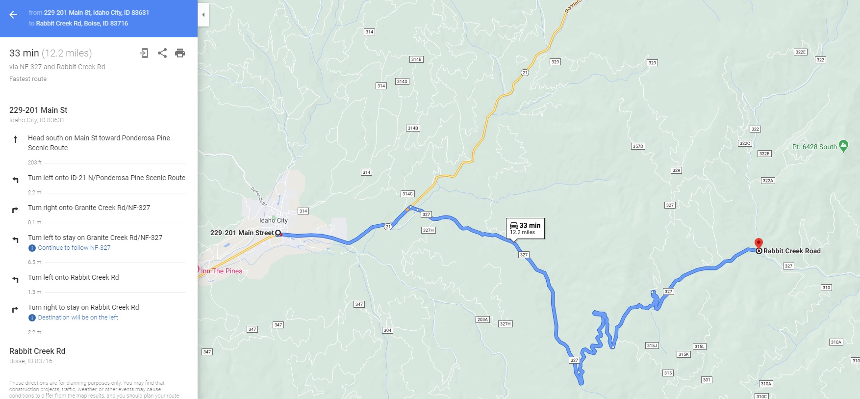
Driving direction insert **12.3** miles
Aerial & Topo Images


Images


Rabbit Auric
Sold
- Acreage: 20 acre unpatented placer claim
- River footage: 850’ Rabbit Creek
- Unpatented/patented: unpatented
- Location: Boise County, Township 6N, Range 7E, Sec.32, NW & SW ¼s
- Mining claim serial #: ID106735650
Map to Claim
Coordinates
NW 43.81614’N, -115.66029’W
NE 43.81614’N, -115.65788’W
SE 43.81276’N, -115.65788’W
SW 43.81276’N, -115.66029’W
NW 43°48’58.1040″N, -115°39’37.0440″W
NE 43°48’58.1040″N, -115°39’28.3680″W
SE 43°48’45.9360″N, -115°39’28.3680″W
SW 43°48’45.9360″N, -115°39’37.0440″W
Driving direction insert **12** miles
Aerial & Topo Images


Images


Rabbit Karats
Sold
- Acreage: 20 acre unpatented placer claim
- River footage: 800' Rabbit Creek - Camping area on claim (on side Rd)
- Unpatented/patented: unpatented
- Location: Boise County, Township 6N, Range 7E, Sec.32, NW & SW ¼s
- Mining claim serial #: ID106735651
Map to Claim
Coordinates
Marker Latitude & Longitude
NW 43.81614’N, -115.65788’W
NE 43.81614’N, -115.65552’W
SE 43.81276’N, -115.65552’W
SW 43.81276’N, -115.65788’W
Marker Degrees, Minutes, Seconds
NW 43°48’58.1040″N, -115°39’28.3680″W
NE 43°48’58.1040″N, -115°39’19.8720″W
SE 43°48’45.9360″N, -115°39’19.8720″W
SW 43°48’45.9360″N, -115°39’28.3680″W
Driving direction insert **12.2** miles
Aerial & Topo Images


Images


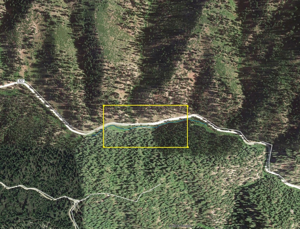
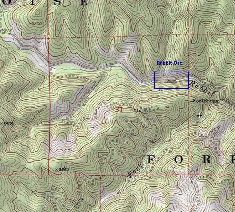
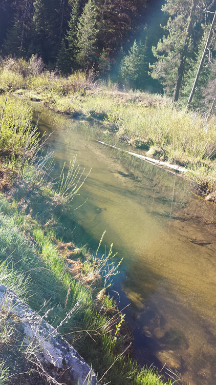
Rabbit Ore
Sold
- Acreage: 20 acre unpatented placer claim
- River footage: 1400’ Rabbit Creek - Camping area 150’ east of claim or additional camping areas about a ½ of a mile to the west of the claim
- Location: Boise County, Township 6N, Range 7E, Sec.31, NE ¼
- Mining claim serial #: ID106332617
Map to Claim
Coordinates
Marker Latitude & Longitude
NW 43.81787’N, -115.66998’W
NE 43.81787’N, -115.66509’W
SE 43.81614’N, -115.66509’W
SW 43.81614’N, -115.66998’W
Marker Degrees, Minutes, Seconds
NW 43°49’04.3320″N, -115°40’11.9280″W
NE 43°49’04.3320″N, -115°39’54.3240″W
SE 43°48’58.1040″N, -115°39’54.3240″W
SW 43°48’58.1040″N, -115°40’11.9280″W
*** ***11.4 miles until you reach the mining claim.
Aerial & Topo Images
Images

Royal Rabbit
Sold
- Acreage: 20 acre unpatented placer claim
- River footage: 1050’ of Rabbit Creek
- Location: Boise County, Township 6N, Range 7E, Sec. 34, SW ¼
- Mining claim serial #: ID106337152
Map to Claim
Coordinates
Marker Degrees, Minutes, Seconds
NW 43°48’39.3120″N, -115°37’33.2760″W
NE 43°48’39.3120″N, -115°37’15.8160″W
SE 43°48’33.1560″N, -115°37’15.8160″W
SW 43°48’33.1560″N, -115°37’33.2760″W
Marker Latitude & Longitude
NW 43.81092’N, -115.62591’W
NE 43.81092’N, -115.62106’W
SE 43.80921’N, -115.62106’W
SW 43.80921’N, -115.62591’W
Aerial & Topo Images


Images
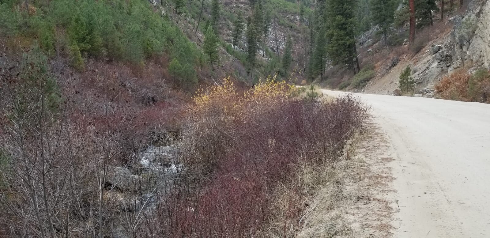
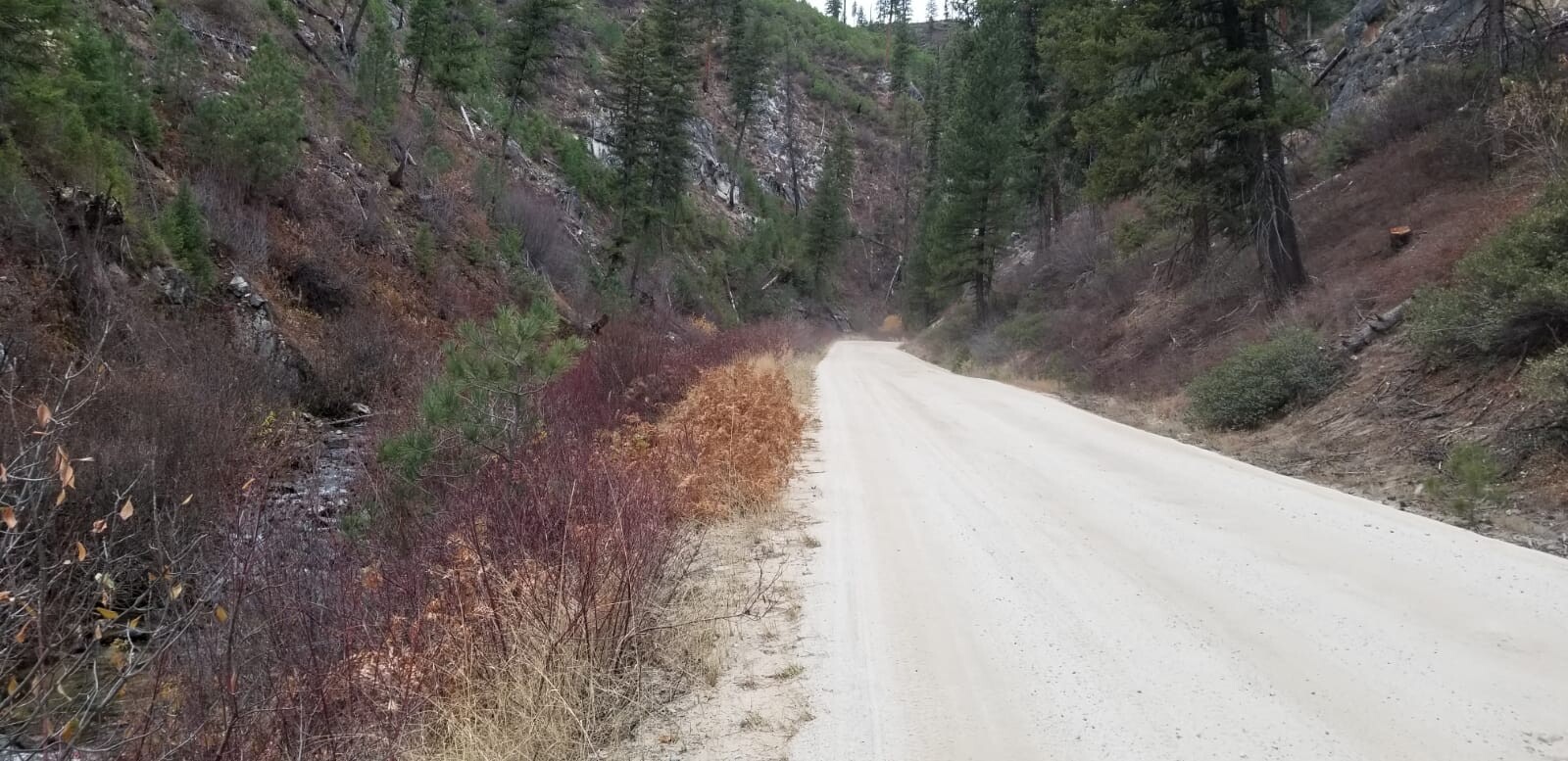
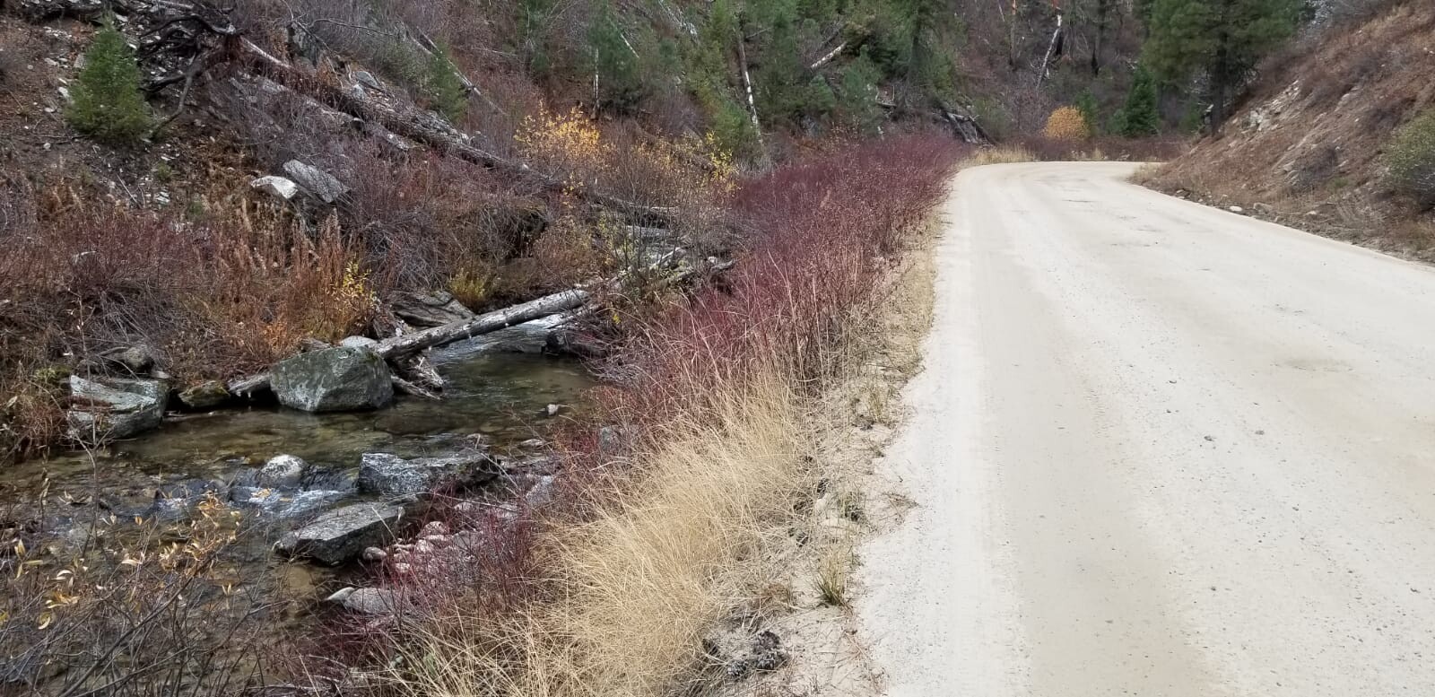
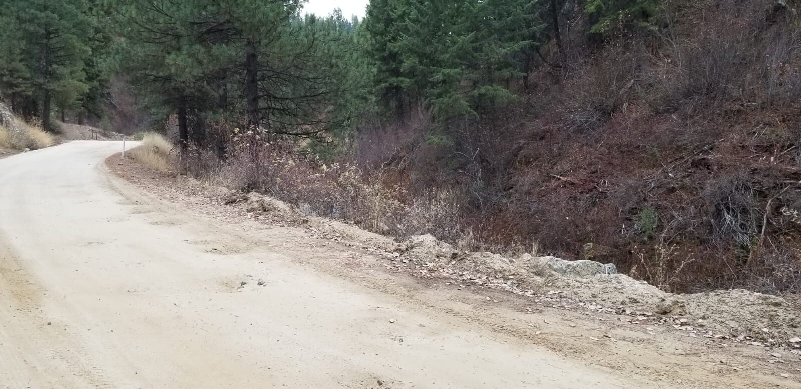
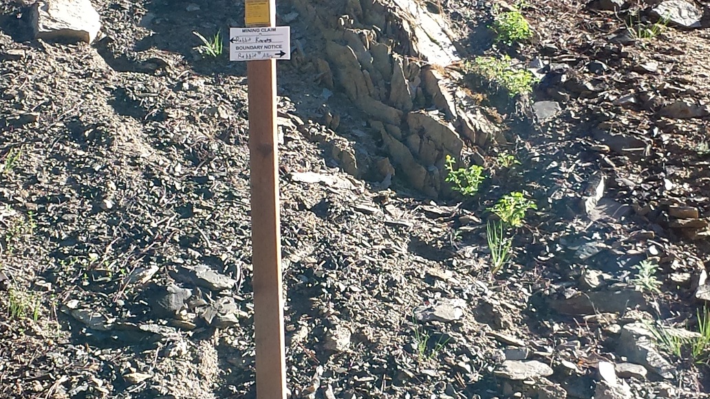
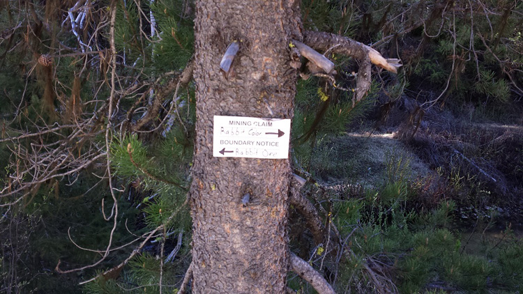
Driving Directions from Boise: Take HWY 21 north out of Boise towards Idaho City (35 miles), turning right on Granite Creek Road / NF 327 (about 2 miles past Idaho City). You will stay on NF 327 (which eventually turns into Rabbit Cr Road), the claim starts at 15 miles on NF 327 road (taking the route to the MF Boise River). The claim is marked (small signs) on the side boundaries (northwest and south edges) along t he road (on the creek side), as well as all of the corner markers.
Driving Directions from Boise: Take HWY 21 north out of Boise towards Idaho City (35 miles), turning right on Granite Creek Road / NF 327 (about 2 miles past Idaho City). You will stay on NF 327 (which eventually turns into Rabbit Cr Road), the claim starts at approximately 16.1miles on NF 327 road (taking the route to the MF Boise River). The claim is marked (small signs) on the side boundaries (northwest and southeast edges) along the road (on the creek side), as well as all of the corner markers.
Show me the Gold
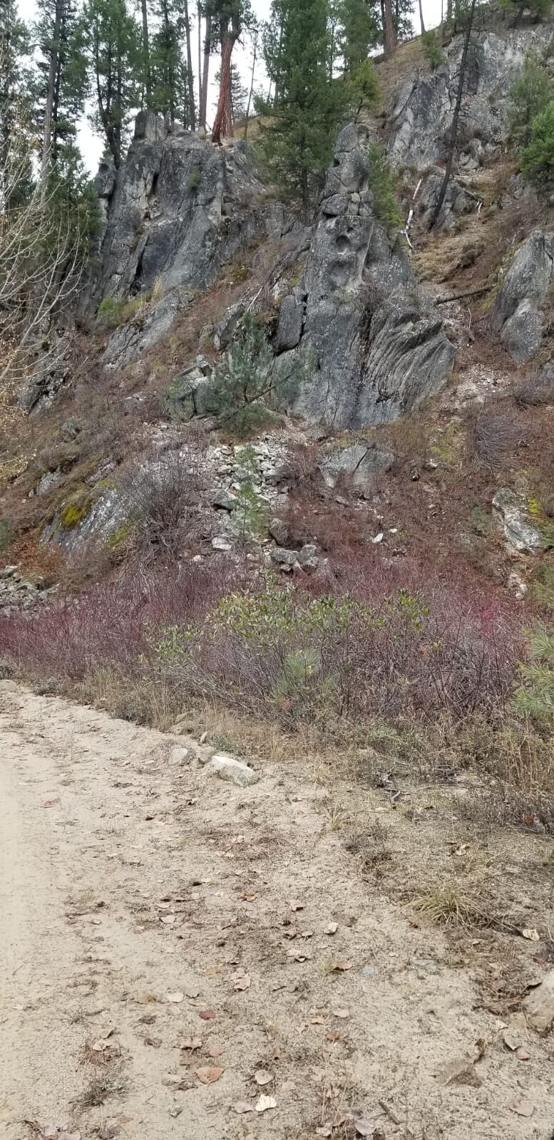
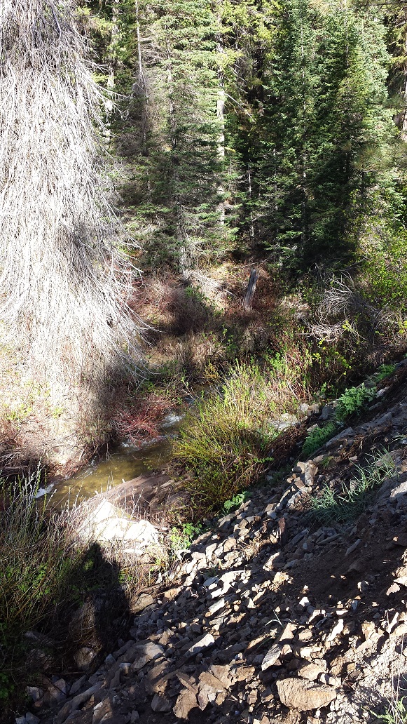
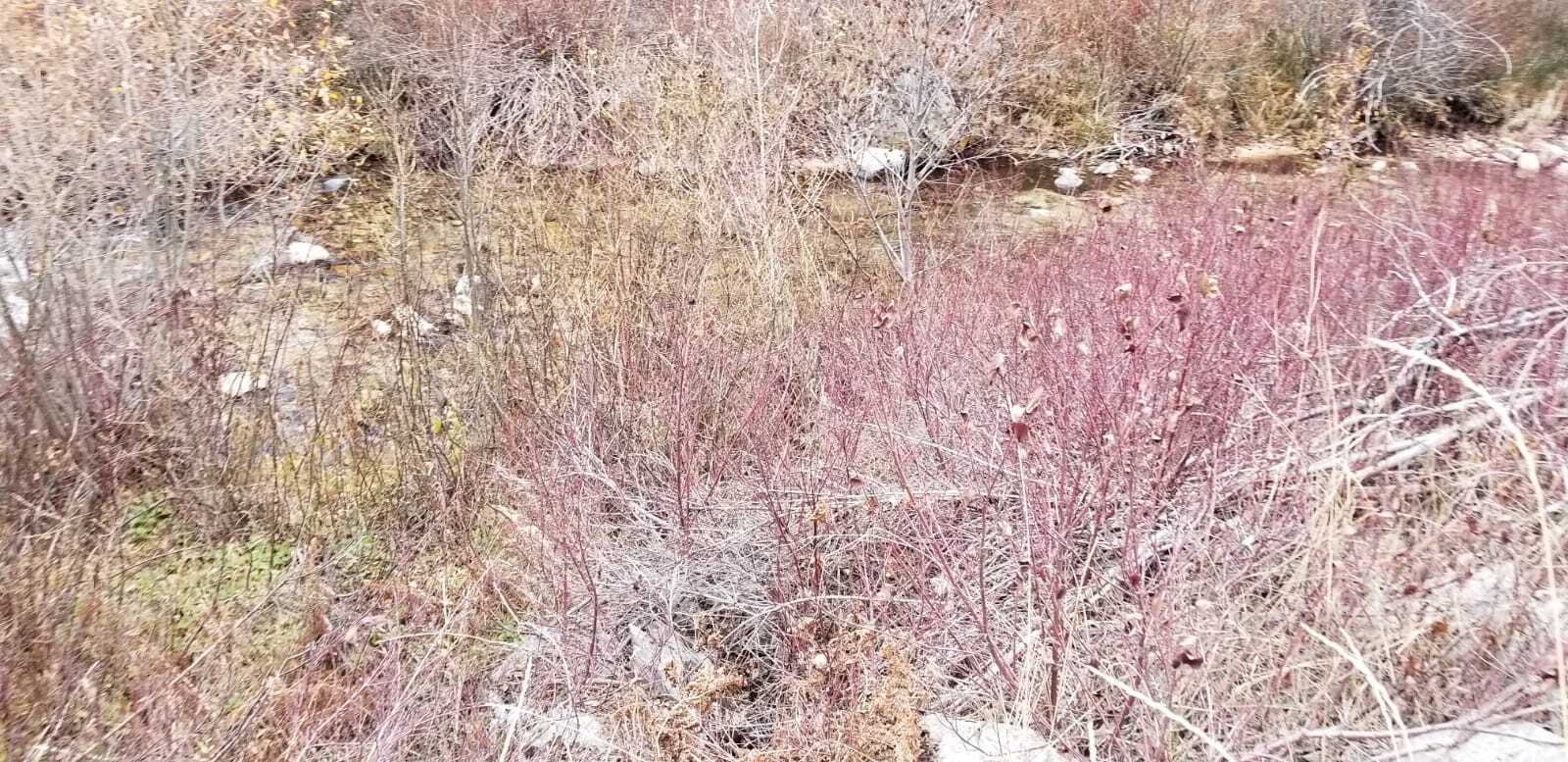
Where does the gold in Rabbit Creek come from? There are a couple vein workings on the North Fork Rabbit Creek (starts about a mile upstream of the claims). You can still see an old cabin on one site, and some tailings from some old mine dumps…gotta look carefully though, as the Forest Service has reclamated the sites. I have seen others selling claims on Rabbit Creek (a bit higher priced+fees), where names like Gambrinus mine, Mascot Mine, talking about the worthless details of any possible rock composition in a 20 mile radius…if you are savvy at all with maps, you would realize these far off mines had absolutely nothing to do with the drainage of Rabbit Creek or gold here, as they are in a completely different mountain range. Much of the rock composition on these claims is a granite base material, which makes working the bedrock a lot of fun with all that gold getting trapped up in the cracks.
http://www.idahogeology.org/services/minesandminerals/results.asp?switch=Reference&value=5804
We ran a test run for about an hour, just shoveling material into a high-banker and even with a simple quick test, still came up with some decent color…yep, awfully red from the garnet in the area. If I get more time over the summer, I was thinking of spending a couple days out here, see what the bedrock depth ranges at, and will post more pics of the color. We’ve already had one of the upper claims sale and another claim go pending (before we have had time to post these up), and the first buyer was tickled from finding 20 to 30 colors from some test pans he ran. I will also throw a hint out there, when running some sample pans on the South Fork on the Rabbit Gold claim, great color came up in that drainage too.