Idaho Gold Land
Sold Claims Sold
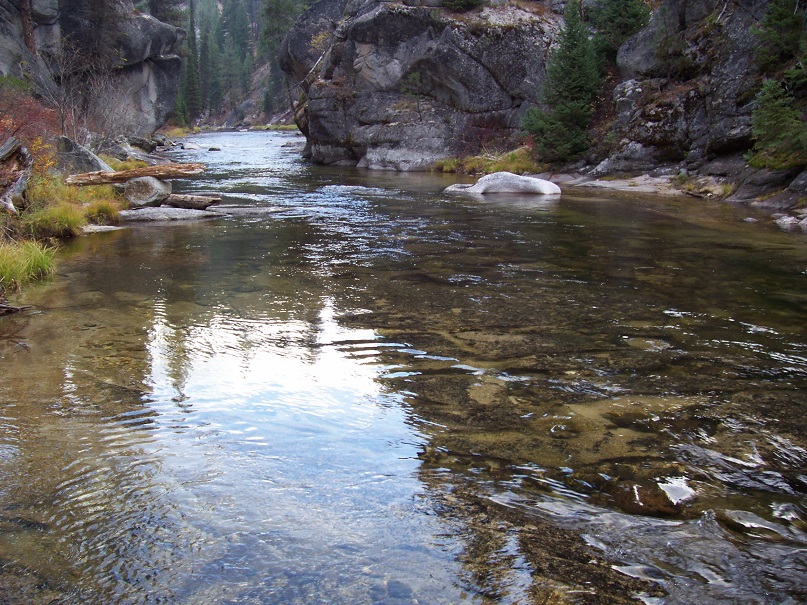
- Acreage: 20 acre unpatented placer claim
- River footage: 1000’ of MF Payette River (1 camping area on claim)
- Location: Valley County, Township 11N, Range 5E, Sec. 04, NE & NW ¼s
- Mining claim serial #: ID105228351
Map to Claim
Coordinates
Marker Degrees, Minutes, Seconds
NW 44°20’52.9800″N, -115°52’16.0680″W
NE 44°20’52.9800″N, -115°51’58.1400″W
SE 44°19’15.2040″N, -115°51’58.1400″W
SW 44°19’15.2040″N, -115°52’16.0680″W
Marker Latitude & Longitude
NW 44.32273’N, -115.87113’W
NE 44.32273’N, -115.86615’W
SE 44.32089’N, -115.86615’W
SW 44.32089’N, -115.87113’W
**19.4** (distance from driving directions below)
Maps


Images


Request more Information What's Included with Purchase FAQs