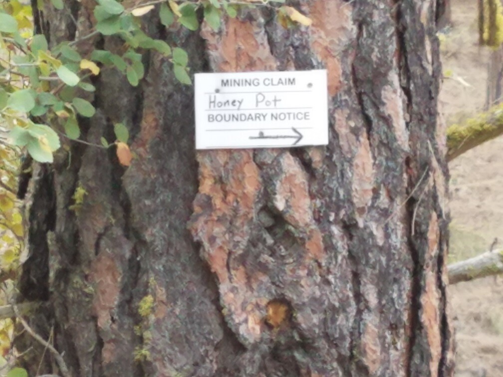
Honey Pot
Idaho City Sold
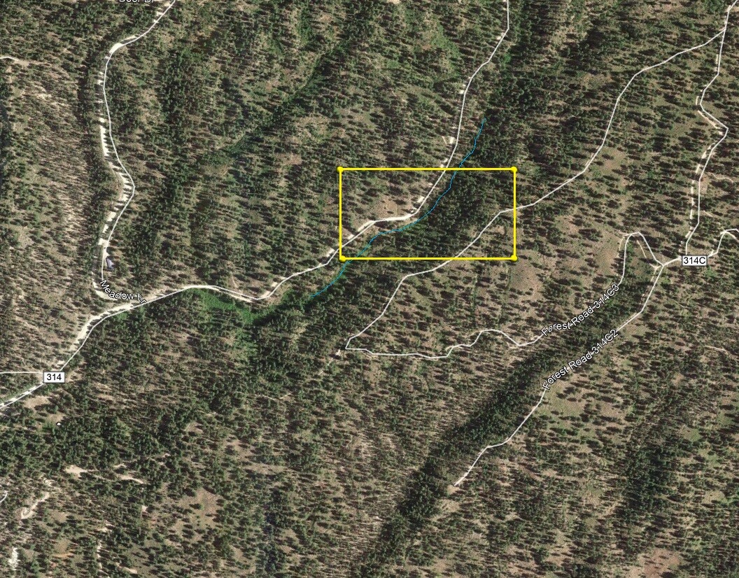
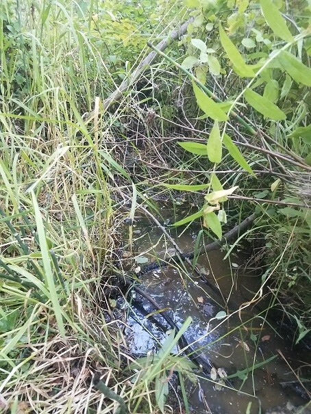
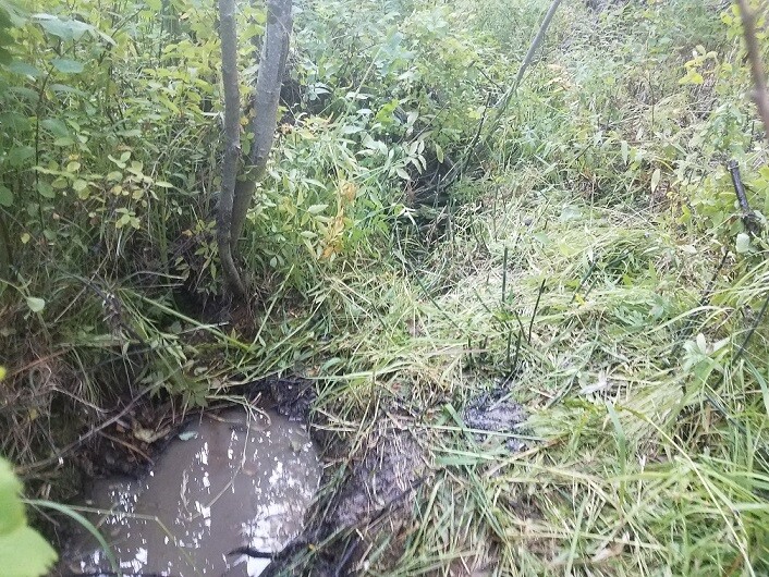
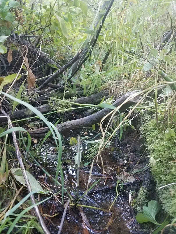
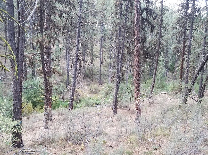
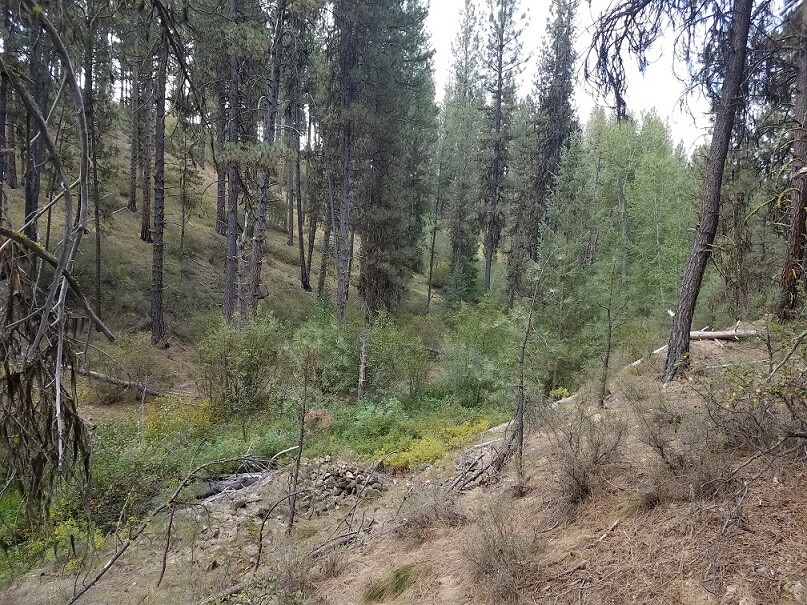
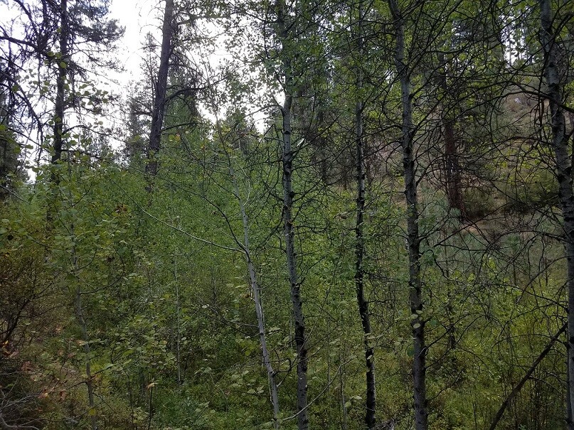
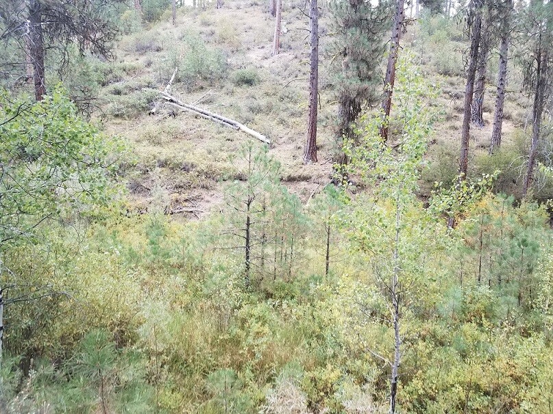
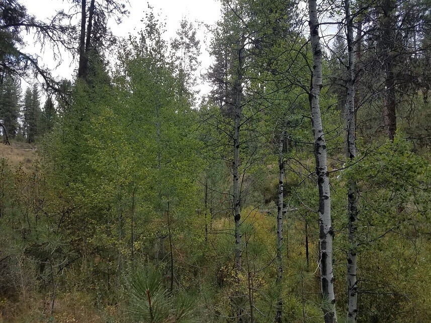
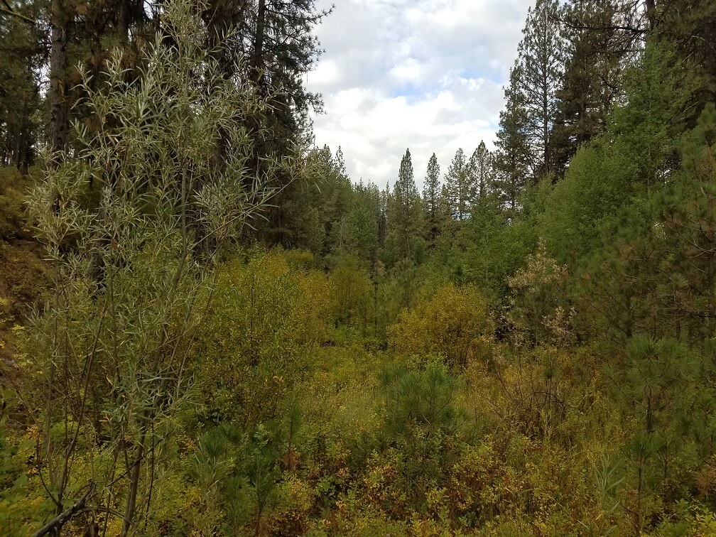
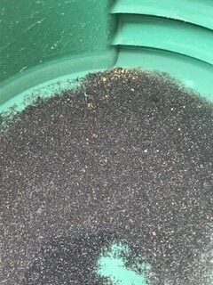
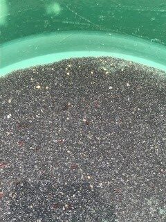
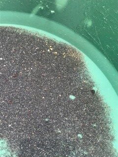
Idaho Gold Mining is happy to offer two great 20 acre mining claims just a half mile out of historic Idaho City. These claims are situated right off of Bear Run Road (NF 314 Forest Service road), so close and easy to get into, that even a car could access. These claims are open to dredging, but as you can see from the pictures (taken in early fall), it would be better to run high-banking equipment in the spring and early summer when there is adequate water flow. The pictures of color shown in the pans was material from 20 gallons of material (or 1/10 of a yard), so some pretty rich deposits left in the creek and along the benches. Full services in Idaho City, so close amenities walking distance from the claims.
- Acreage: 20 acre unpatented placer claim
- River footage: 1150’ Bear Run Creek
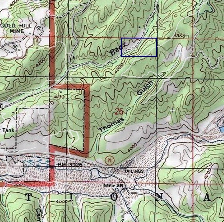
- Location: Boise County, Township 6N, Range 5E, Sec.25, NE ¼
- Mining claim serial #: ID106728917
Map to Claim
Coordinates
Marker Latitude & Longitude
NW 43.83683’N, -115.81092’W
NE 43.83683’N, -115.80598’W
SE 43.83501’N, -115.80598’W
SW 43.83501’N, -115.81092’W
Marker Degrees, Minutes, Seconds
NW 43°50’12.5880″N, -115°48’39.3120″W
NE 43°50’12.5880″N, -115°48’21.5280″W
SE 43°50’06.0360″N, -115°48’21.5280″W
SW 43°50’06.0360″N, -115°48’39.3120″W
Maps
Images
Overview
Driving Directions: The claims are located about a half of a mile outside the historic town of Idaho City. Driving directions to the claim: from Boise, travel north on HWY 21 to Idaho City (approximately 34 miles from I-84). Turn left (north) onto Main Street in Idaho City. A couple blocks into town, turn right (north) on Bear Run Road (NF 314). At 0.9 of a mile, you will come to a major junction, where the main road heads left, but you want to keep right (or straight) on NF 314. The claim start about 1,300’ past the junction. The mining claim has been signed along the creek side of NF 314 road to help identify where the mining claims start & end.