Hayfork
Idaho City Sold
Overview
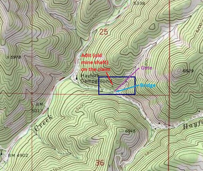
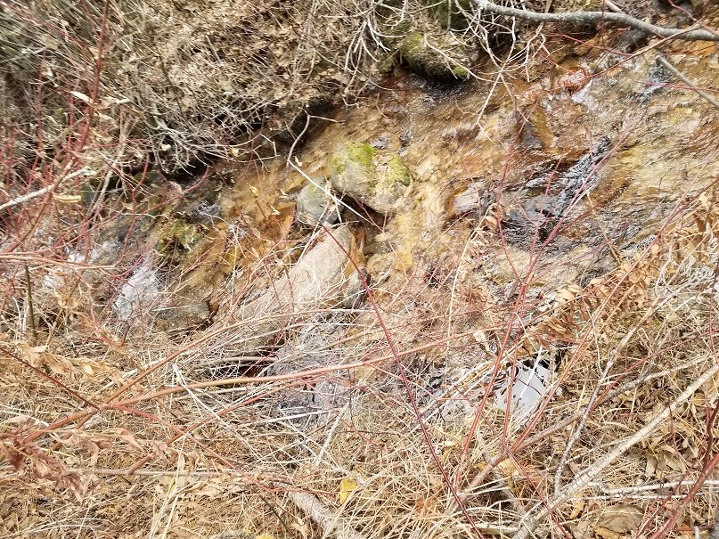
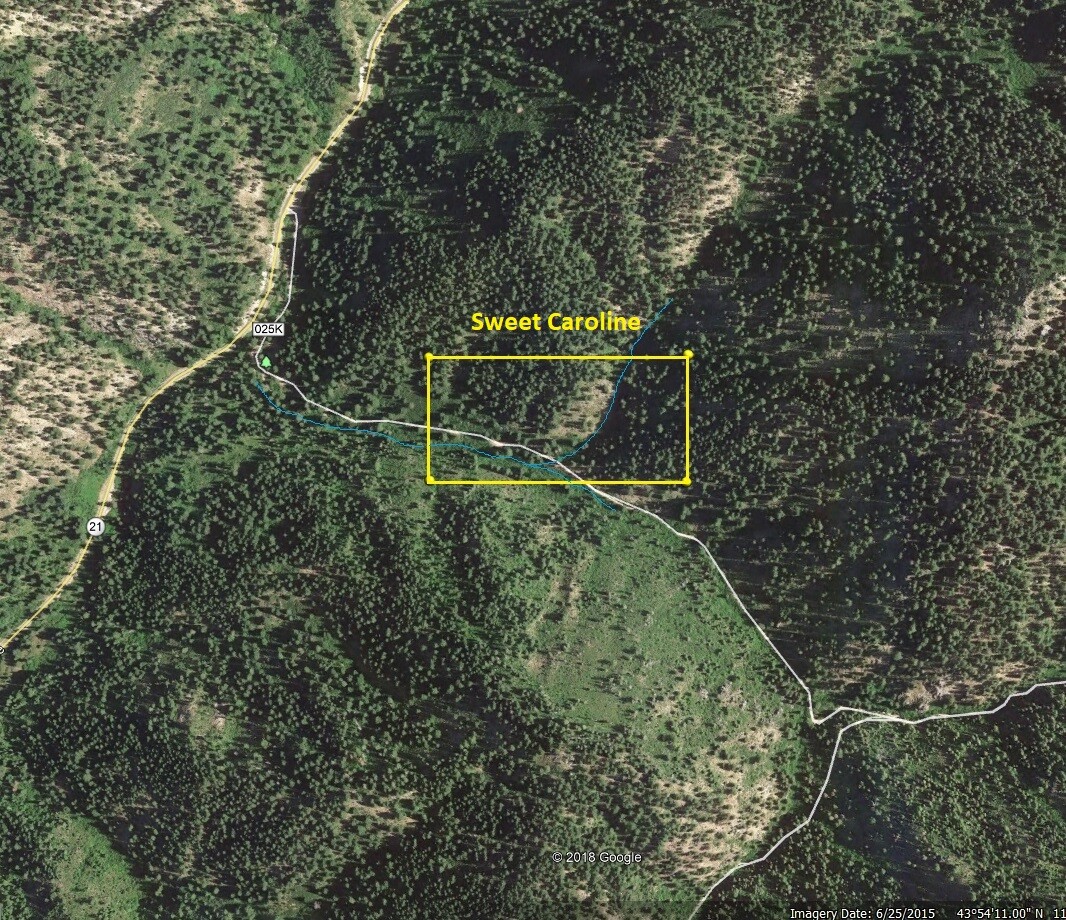
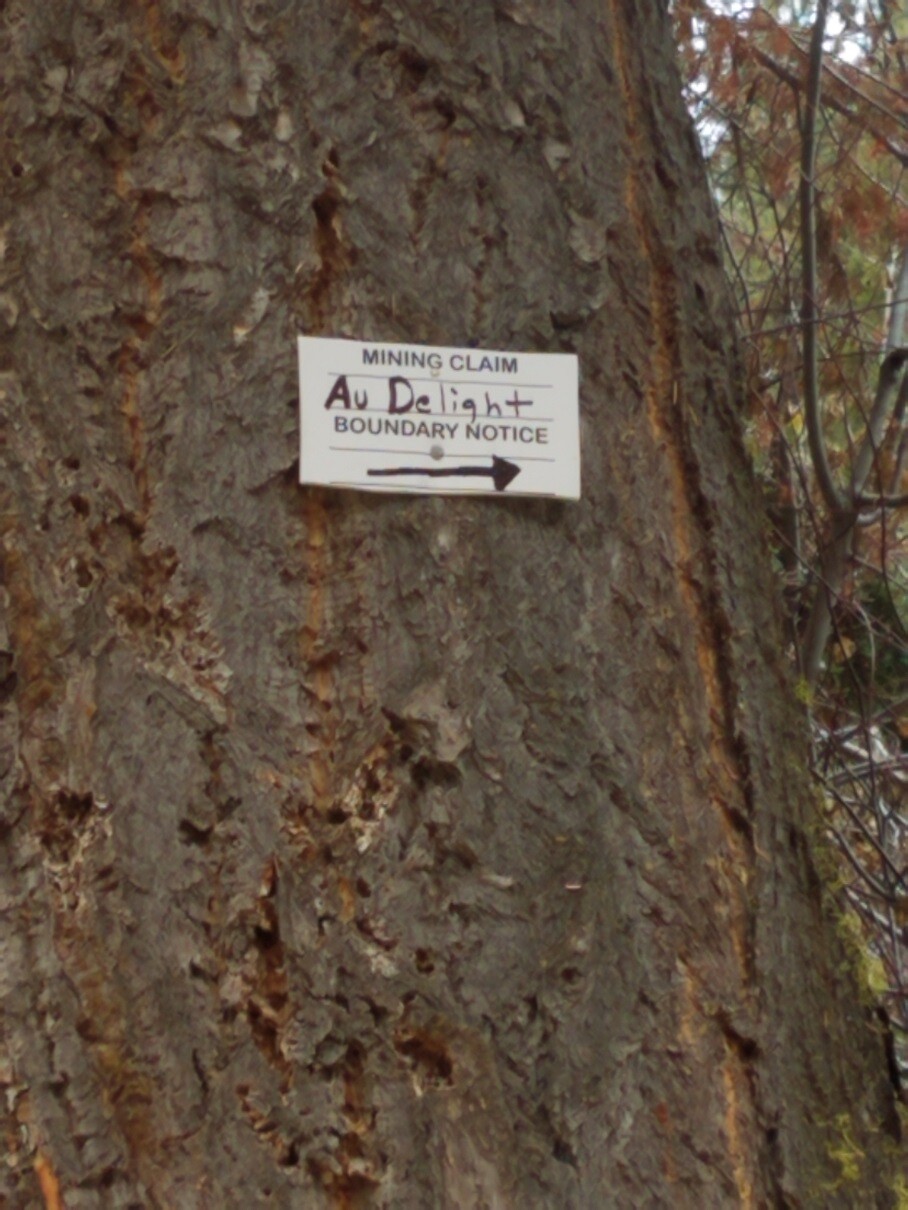
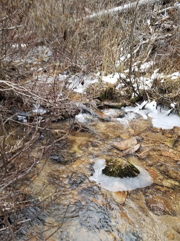
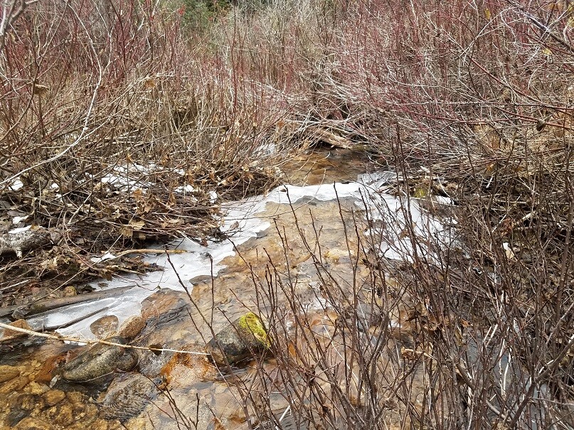
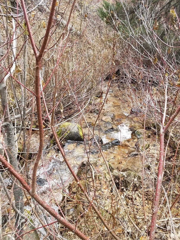
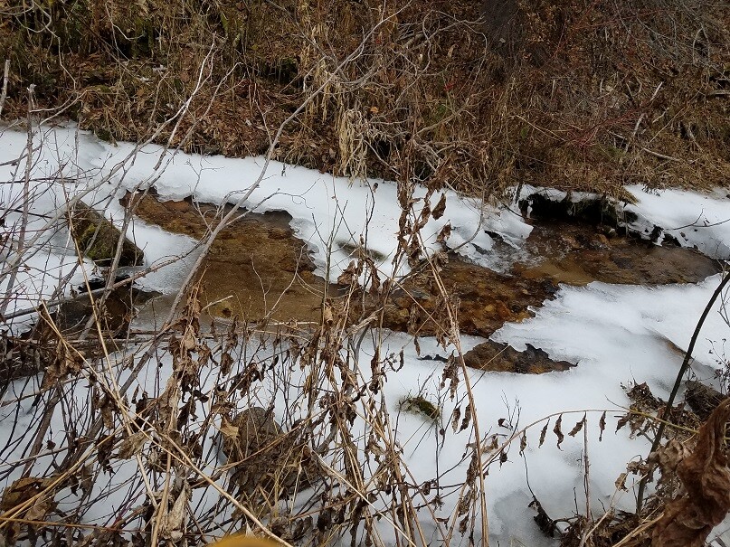
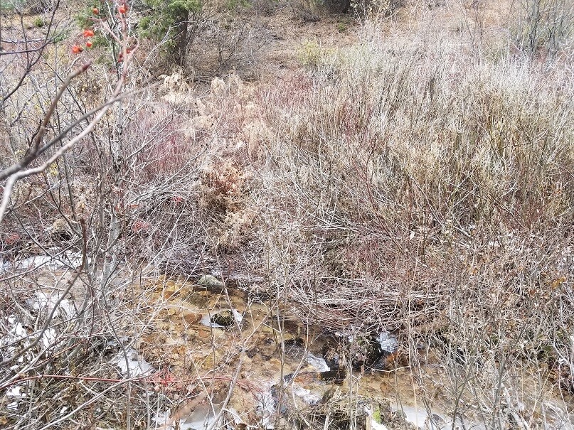
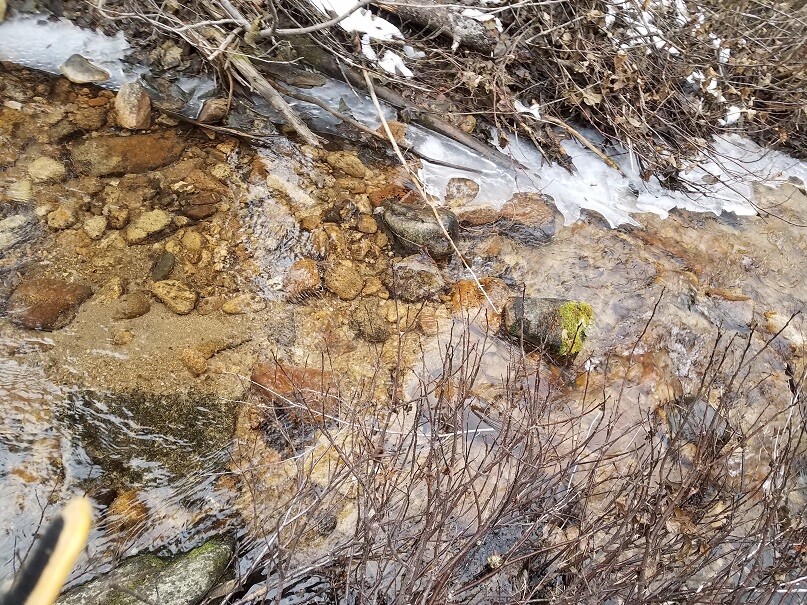
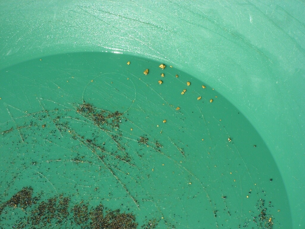
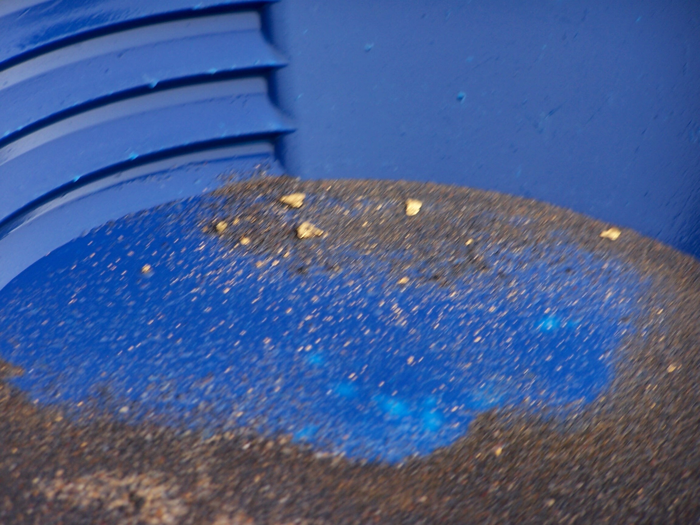
This 20 acre unpatented mining claim resides about 10 miles past Idaho City (off of HWY 21). It abuts the “Hayfork” Campground, and Hayfork Creek is open to dredging. Besides the placers along Hayfork, there is another gold bearing small tributary on this claim as well, along with an old mine adit (entrance is backfilled). As you will see in the driving directions and pictures, there is a private gate (which is in the center of this claim), where the actual “private property” doesn’t start for another ¼ mile back. That private area is the old patented mines (multiple) which distributed gold into Hayfork Creek.
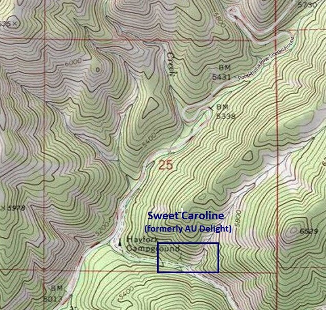
Sweet Caroline
Sold
Price: $2,500
- Acreage: 20 acre unpatented placer claim
- River footage: 900’ of Hayfork Cr + 850’ gold bearing tributary
- Location: Boise County, Township 7N, Range 6E, Sec.25, SE ¼
- Mining claim serial #: ID105795448
Map to Claim
Coordinates
Marker Latitude & Longitude
NW 43.90854’N, -115.69440’W
NE 43.90854’N, -115.68925’W
SE 43.90675’N, -115.68925’W
SW 43.90675’N, -115.69440’W
Marker Degrees, Minutes, Seconds
NW 43°54’30.7440″N, -115°41’39.8400″W
NE 43°54’30.7440″N, -115°41’21.3000″W
SE 43°54’24.3000″N, -115°41’21.3000″W
SW 43°54’24.3000″N, -115°41’39.8400″W
Aerial & Topo Images
Images
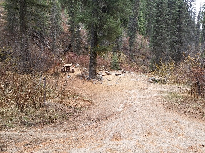
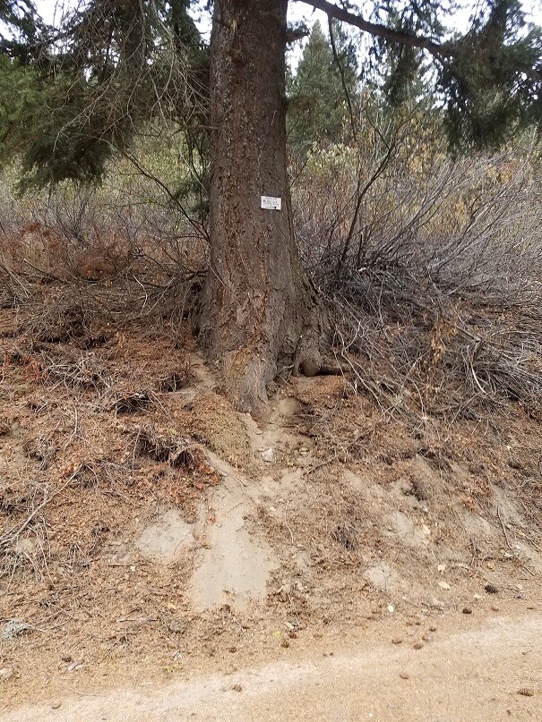
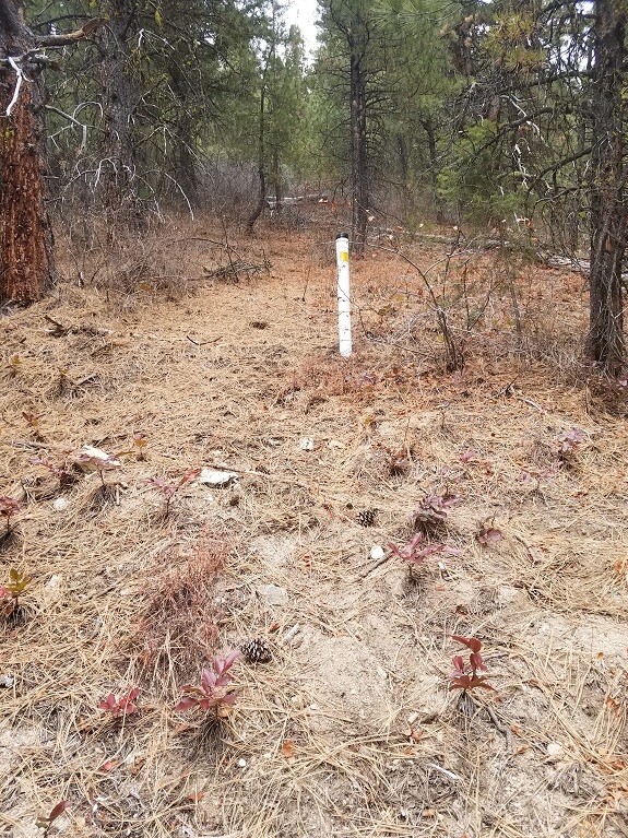
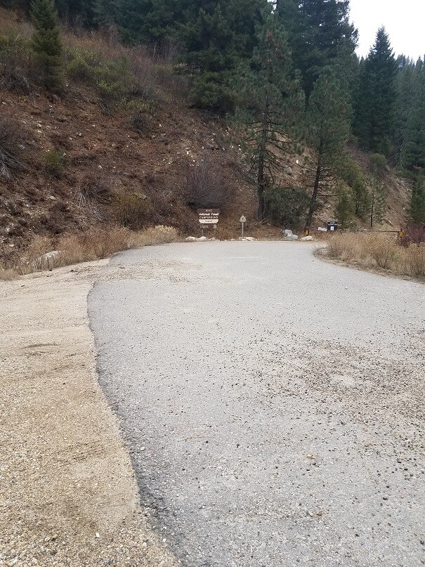
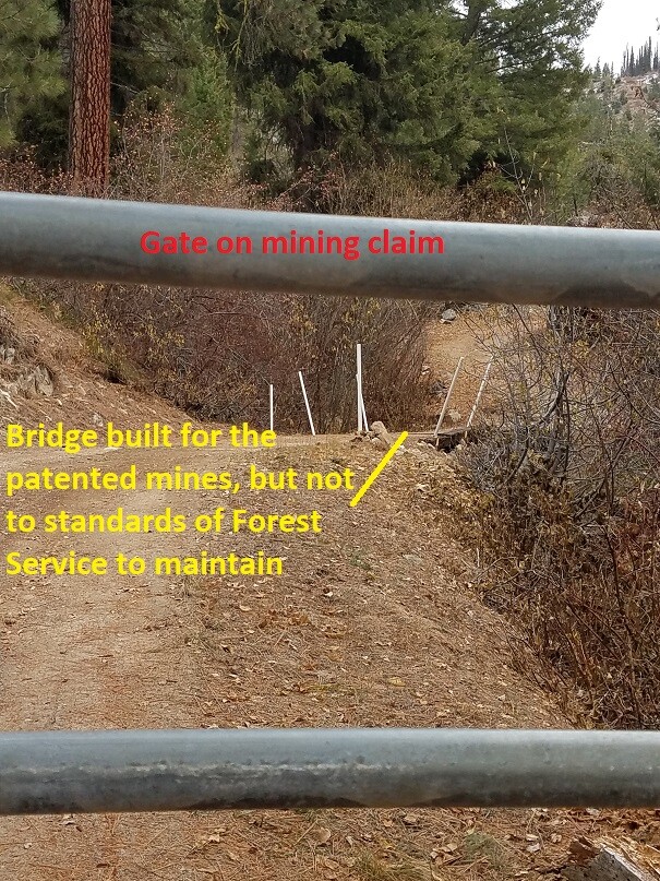

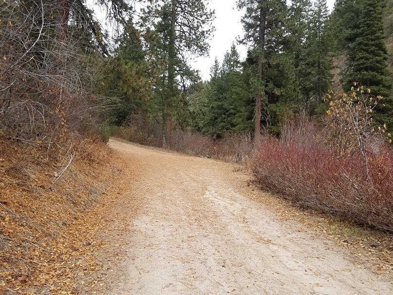
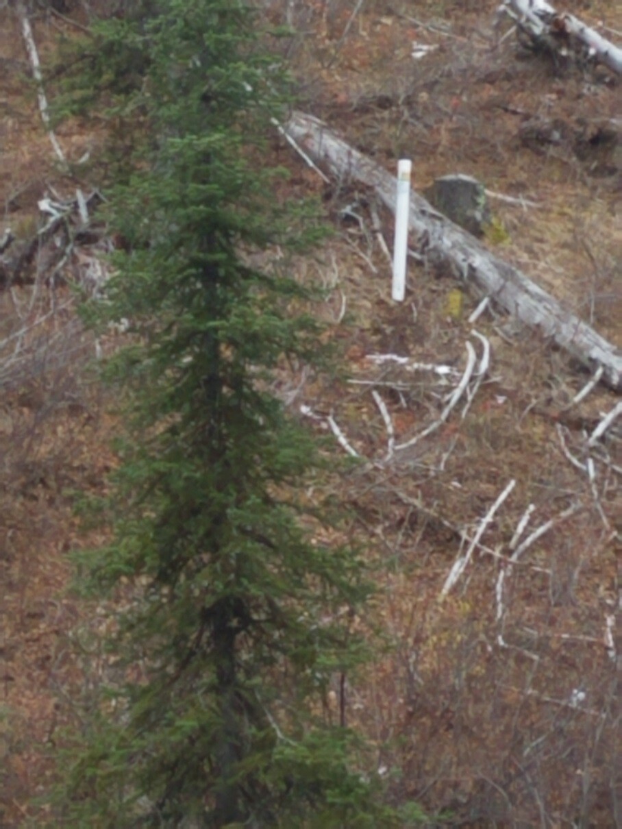
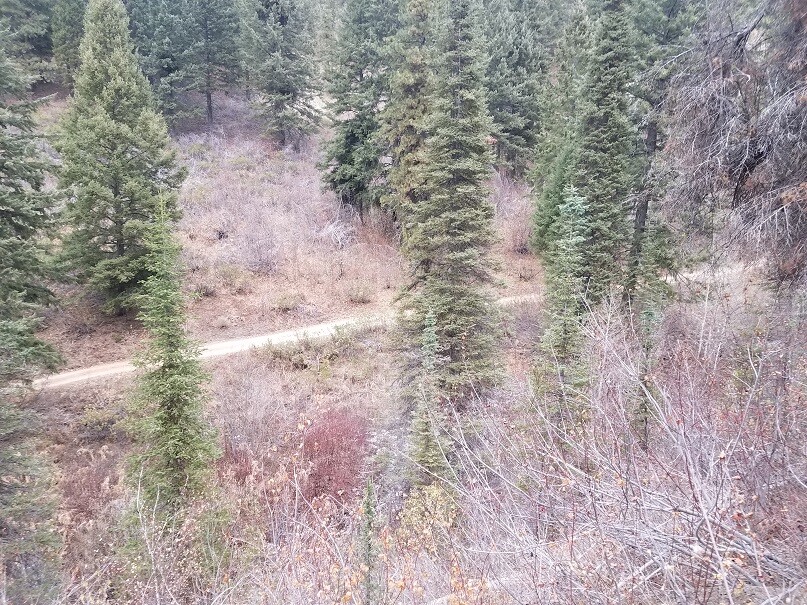
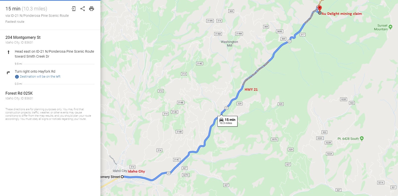
Driving Directions: The claims are located 4.3 miles outside the historic town of Idaho City. Driving directions to the claim: from Boise, travel north on HWY 21 to Idaho City (approximately 34 miles from I-84). Continue on HWY 21 for an additional 10 miles past Idaho City and turn right (east) onto NF 025K road “at” the Hayfork Campground. In about 1400’ up NF 025K, you will have reached the mining claim. There is a private gate with signs about 750’ into the mining claim, which is NOT on private property…the forest service only agreed to this so they would not have to maintain the bridge immediately past the gate. Private property does not start for another ¼ mile past the gate up the road. The mining claim extends for another 750’ past the gate. The claim is marked next to the road as entering and exiting the claim from the south and west sides.