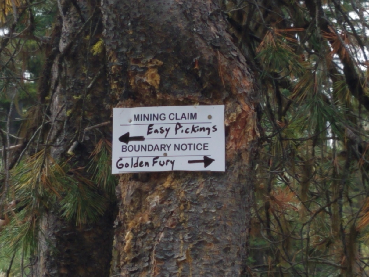
Golden Fury
Crooked River Sold
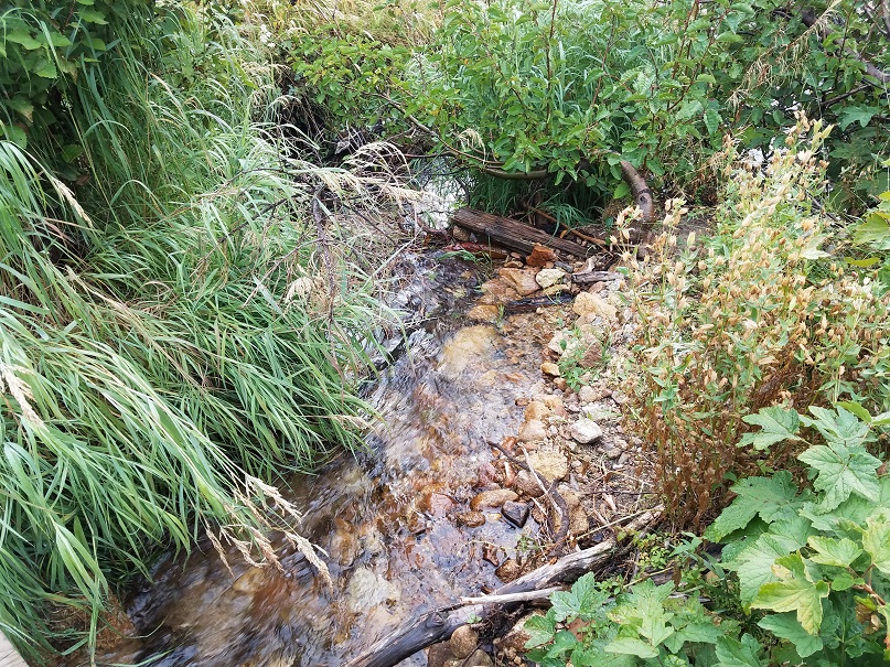
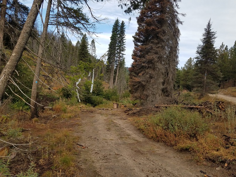
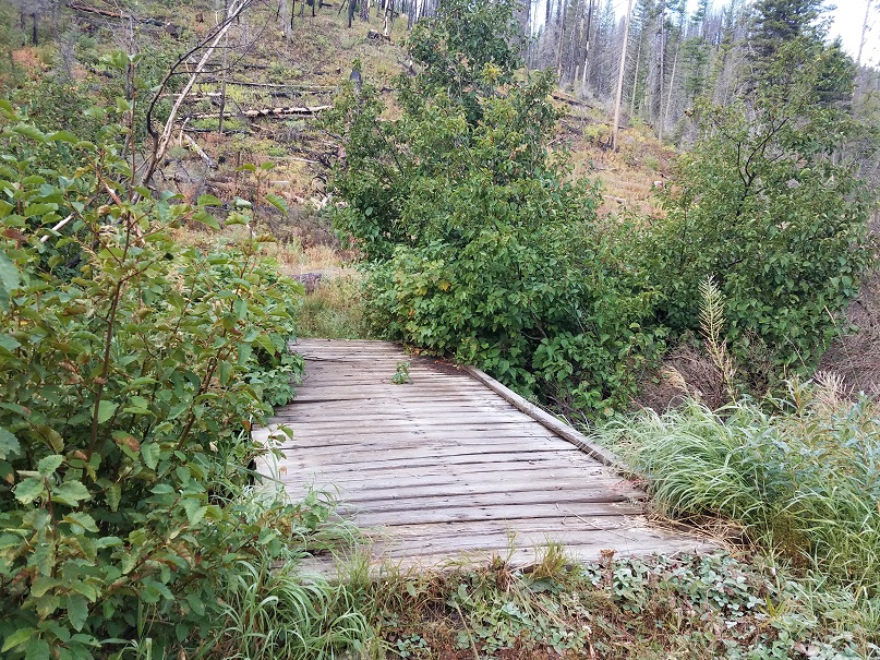
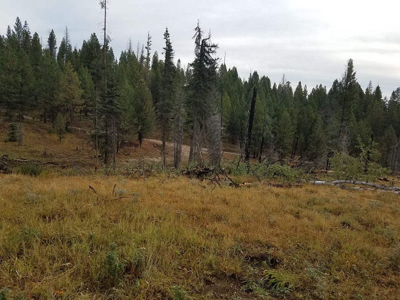
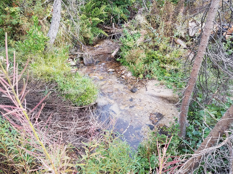
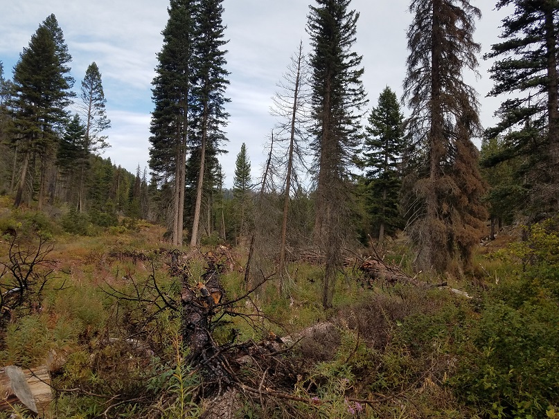
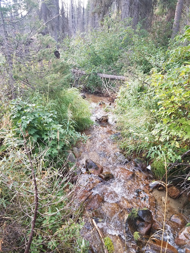
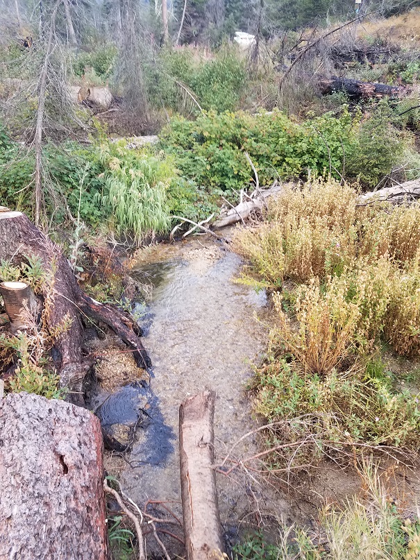
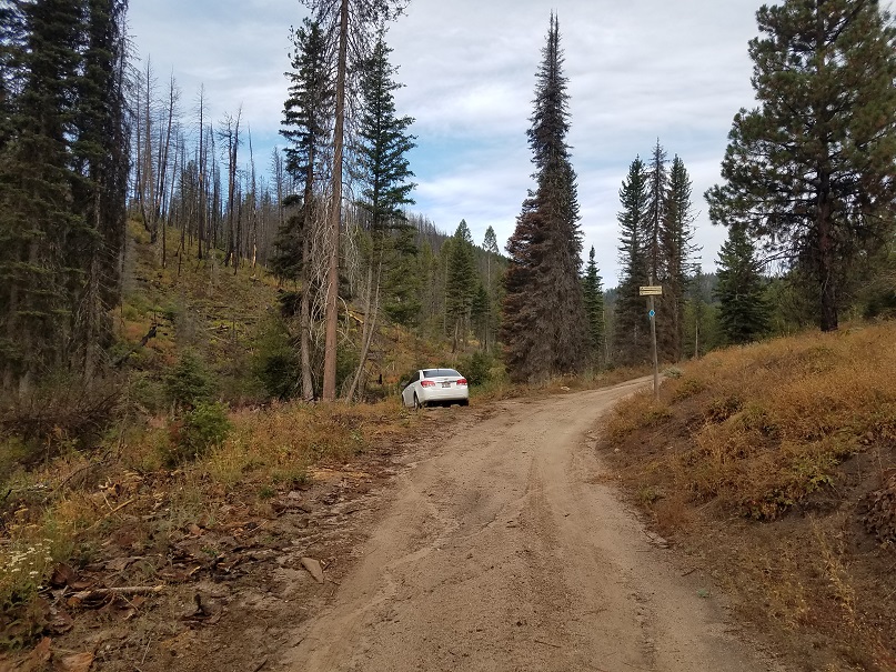
This claim is weekender’s paradise and has really good access (you can see from the pictures) along with ample room for RV parking at the camping spots, that even a car can access into these mining claims, with at least two camping area options along Whoop Um Up creek located “on” the claim. Foot bridges across Whoop Um Up Creek, for extremely easy foot travel. Ample plenty of year-round water to prospect, with a breathtaking scenic appeal. Excellent trout habitat to bring the fly pole on those lazy afternoons. With this mining claim being a short 30 minute drive from historic Idaho City (with full services), and yet the off-the-road outdoors appeal having all of the camping, hunting and fishing allure that the area has to offer…and let’s not forget about the gold (see “show me the gold” below)… the only thing this area is missing is you and your high-banker. :o)
- Acreage: 20 acres
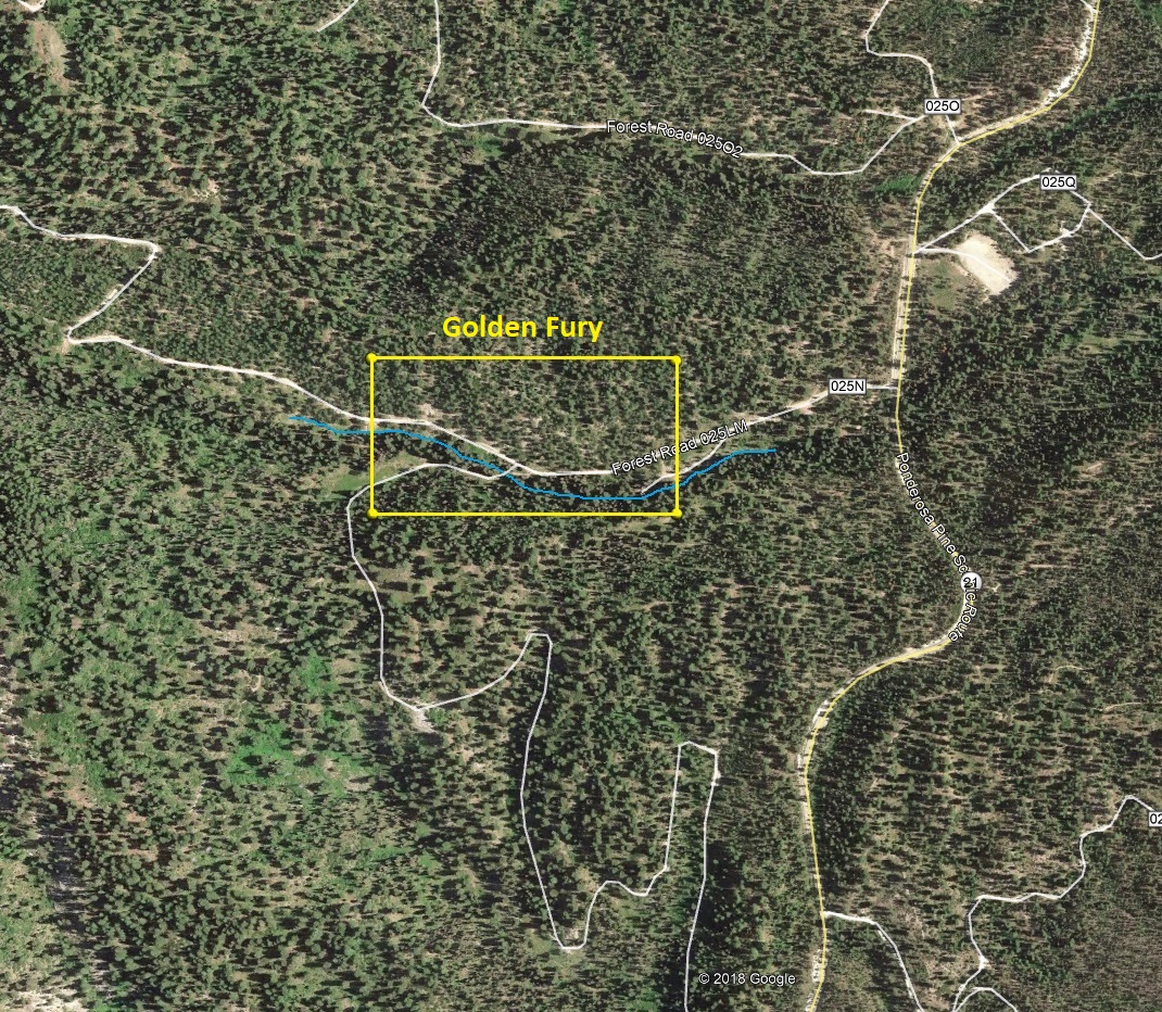
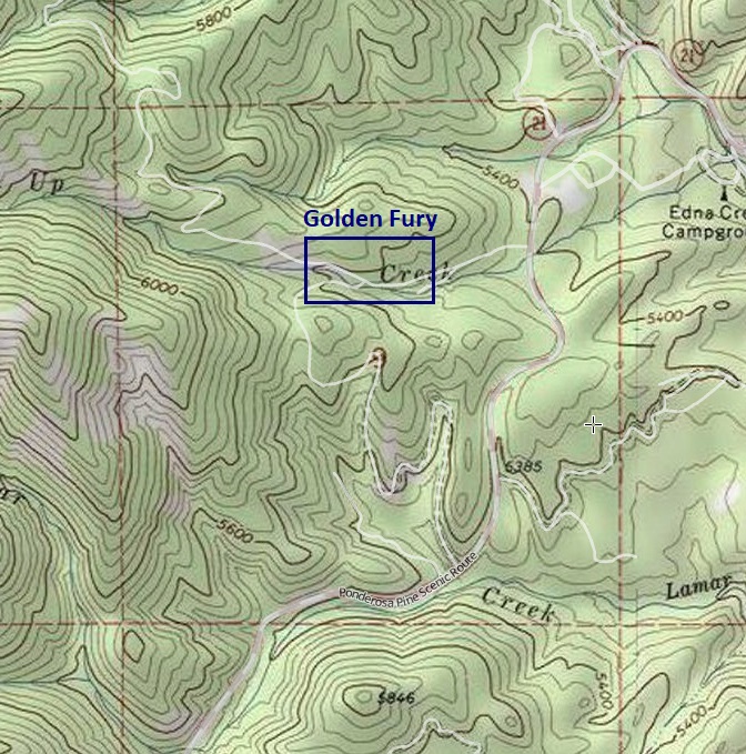
- River footage: 1350’ of Whoop Um Up Creek | 2 large designated camping spots
- Placer/lode: placer
- Location: Boise County, Township 7N, Range 7E, Sec.09, NE & NW ¼s
- Mining claim serial #: ID106332621
Map to Claim
Coordinates
NW 43.96127’N, -115.63870’W
NE 43.96127’N, -115.63376’W
SE 43.95945’N, -115.63376’W
SW 43.95945’N, -115.63870’W
NW 43°57’40.5720″N, -115°38’19.3200″W
NE 43°57’40.5720″N, -115°38’01.5360″W
SE 43°57’34.0200″N, -115°38’01.5360″W
SW 43°57’34.0200″N, -115°38’19.3200″W
Maps
Images

Overview
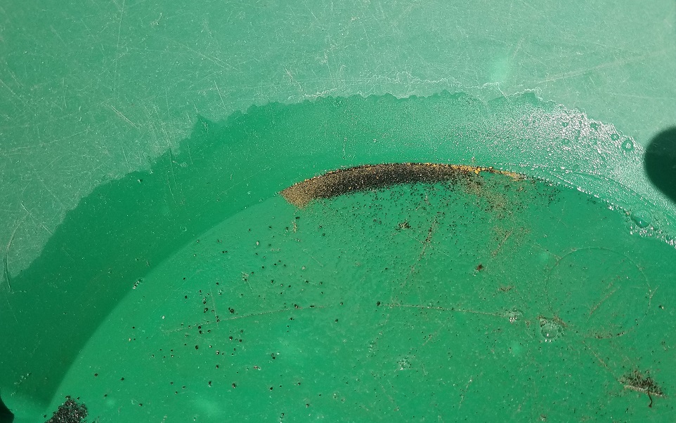
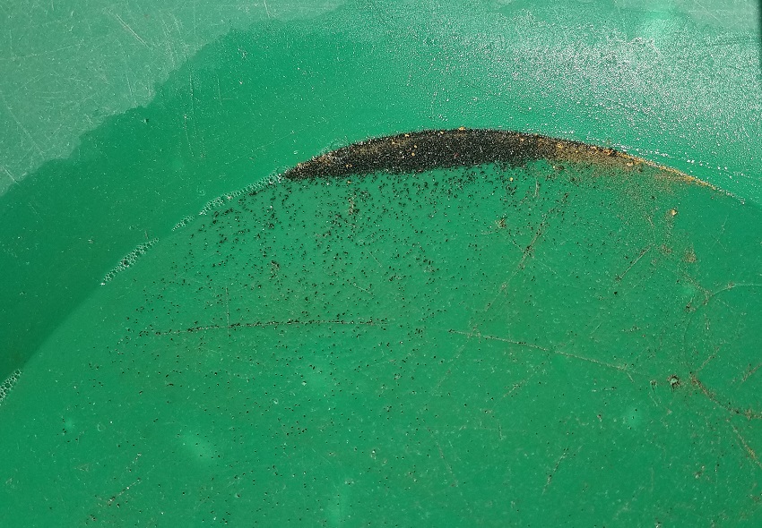
Show Me the Gold
Pictures from running a high-banker for approximately 2 hours only to a depth of about 3 feet deep. With this much color on the surface, no telling the kind of color that is bound to be at bedrock.

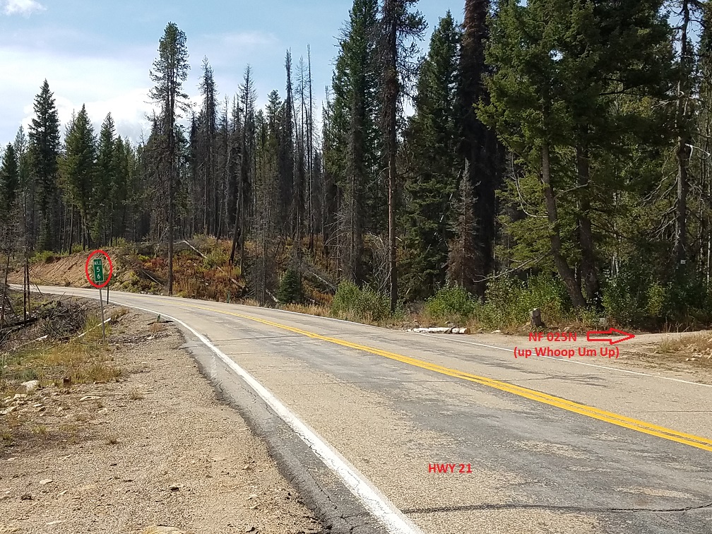
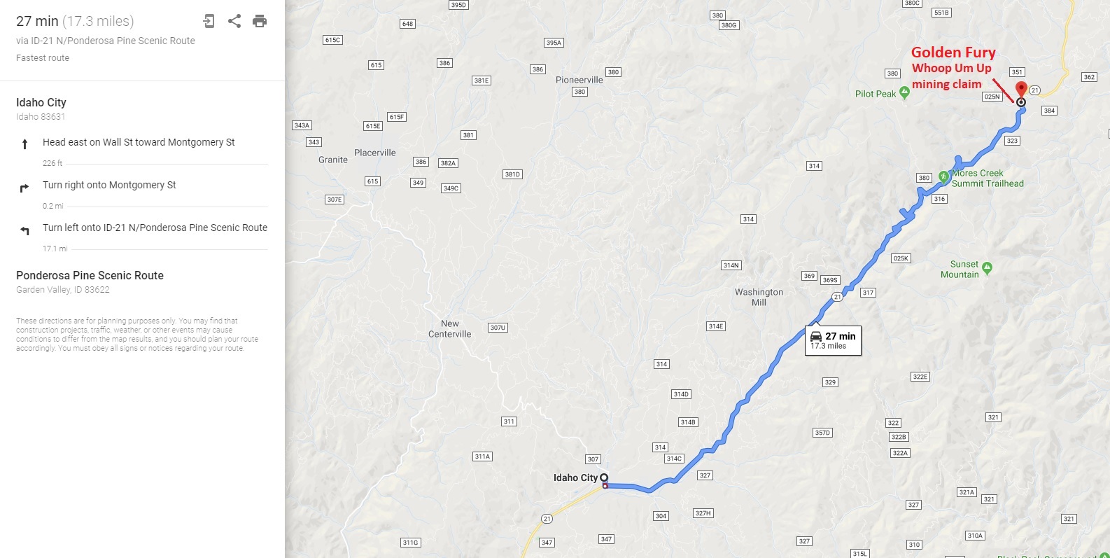
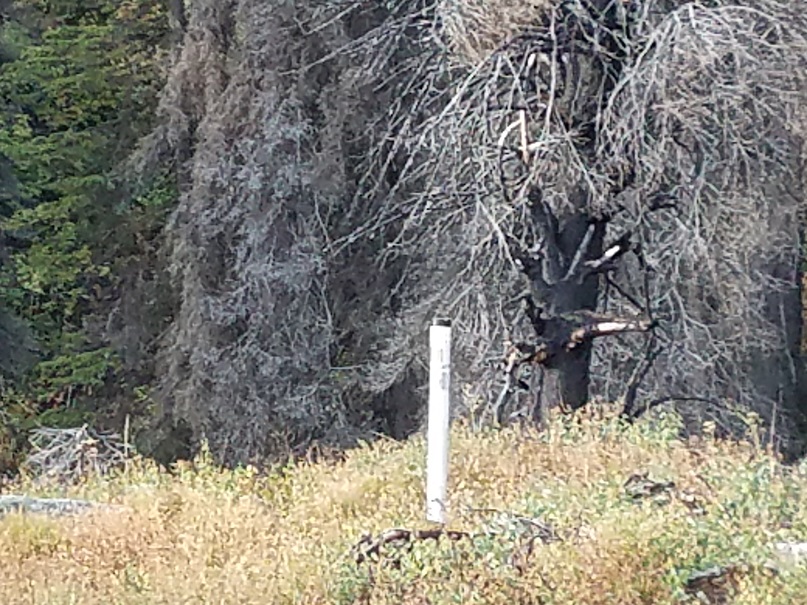
Driving Directions: The claim is located 17.3 miles outside the historic town of Idaho City. Driving directions to the claim: from Boise, travel north on HWY 21 to Idaho City (approximately 34 miles from I-84). Continue on HWY 21 for an additional 17 miles past Idaho City and turn left (west) at Mile Marker 56, onto NF 025LM road, (0.1 of mile before the Whoop Um UP pullout). This mining claim is approximately 1000’ (0.025 of a mile) after turning onto NF 025LM, and the road name changes to NF 025N. The mining claim has been signed along the creek side of the road to help identify where the mining claim starts & ends.