Price: $1,750 - $2,000
AvailableGold Strike & Easy Pickings
Overview
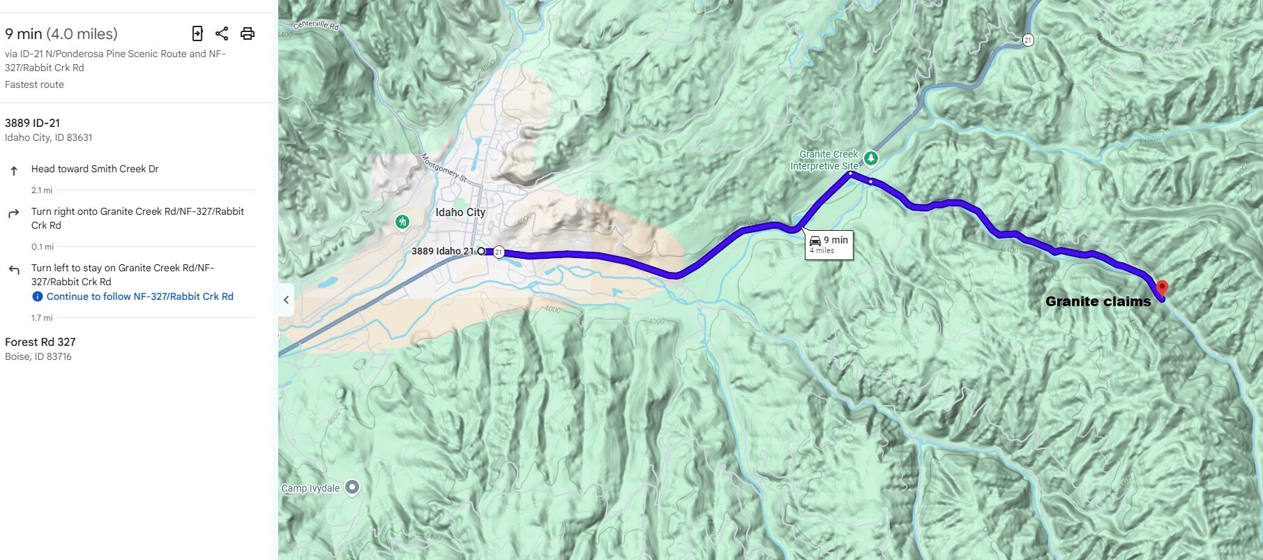
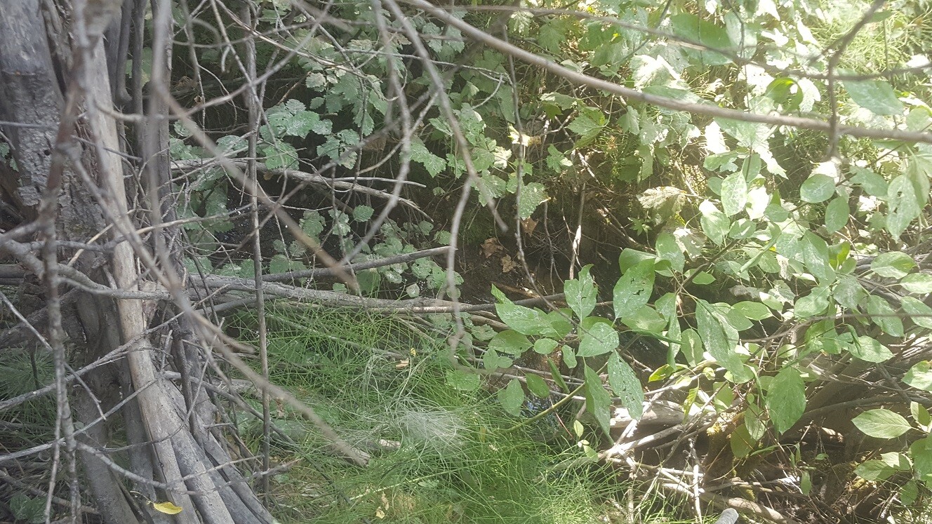
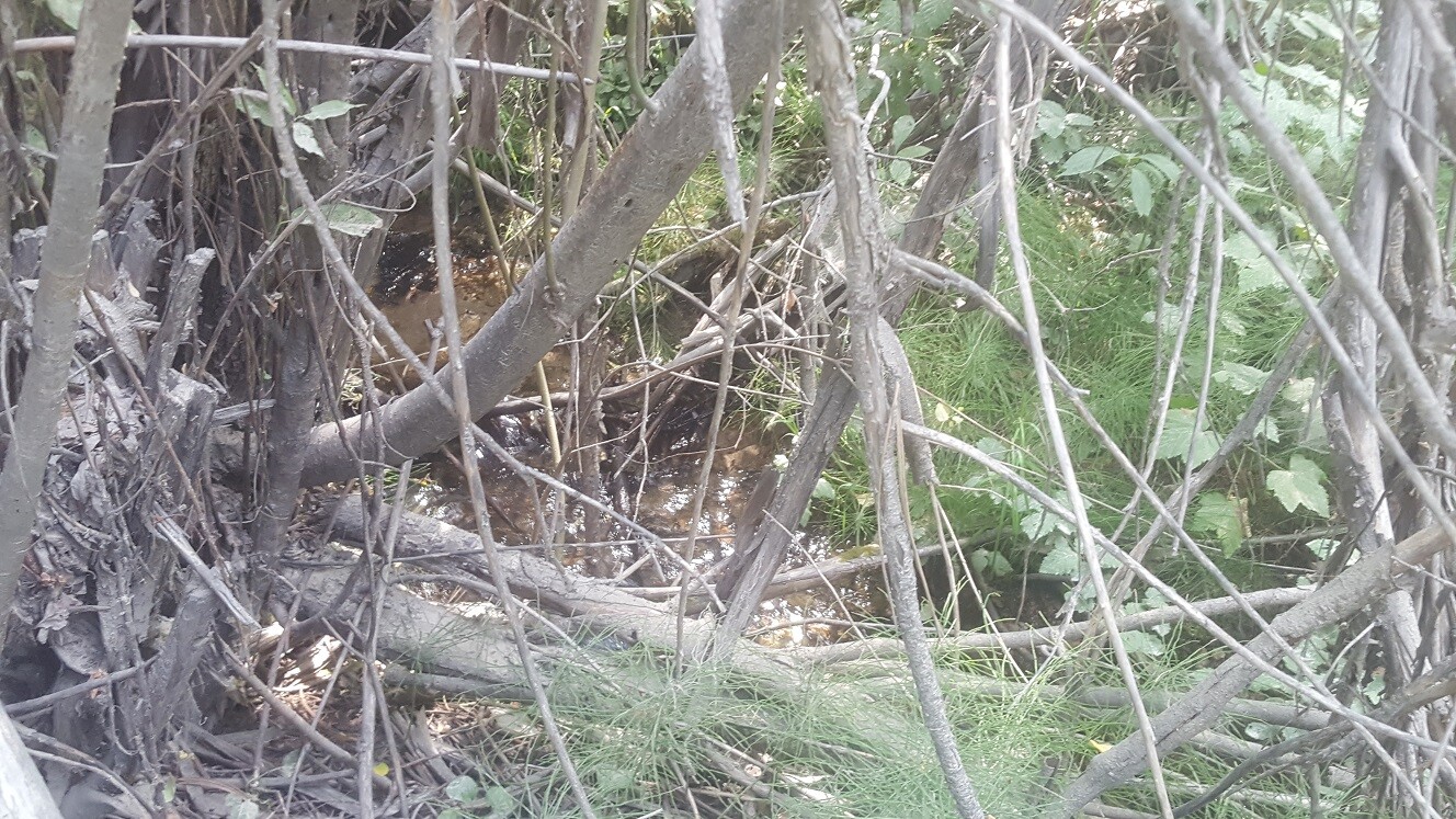
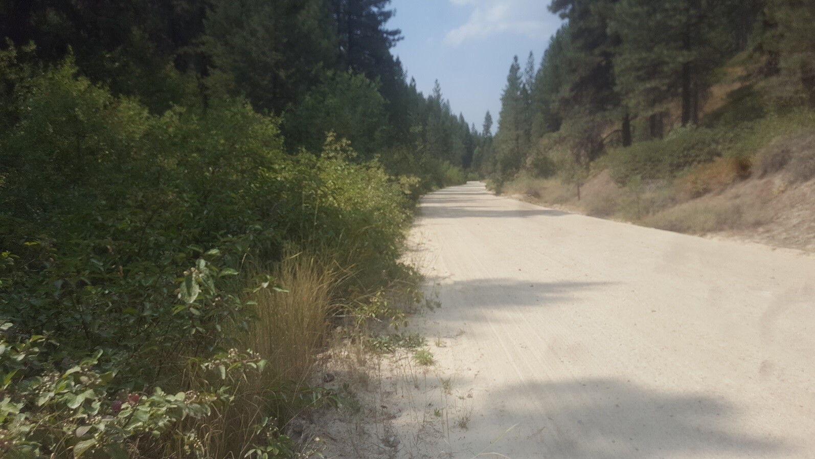
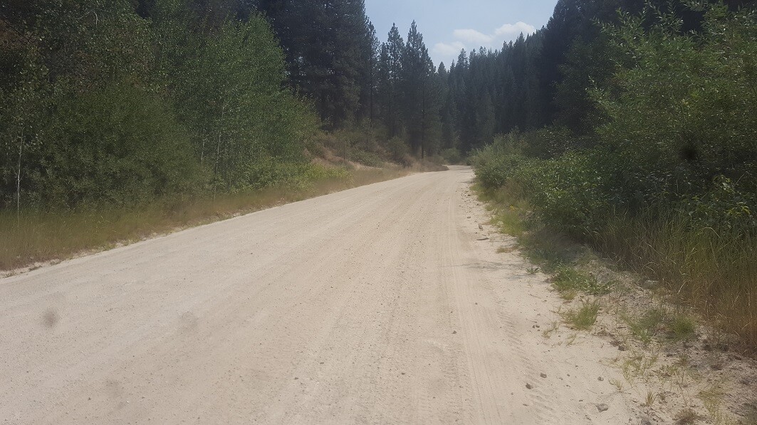
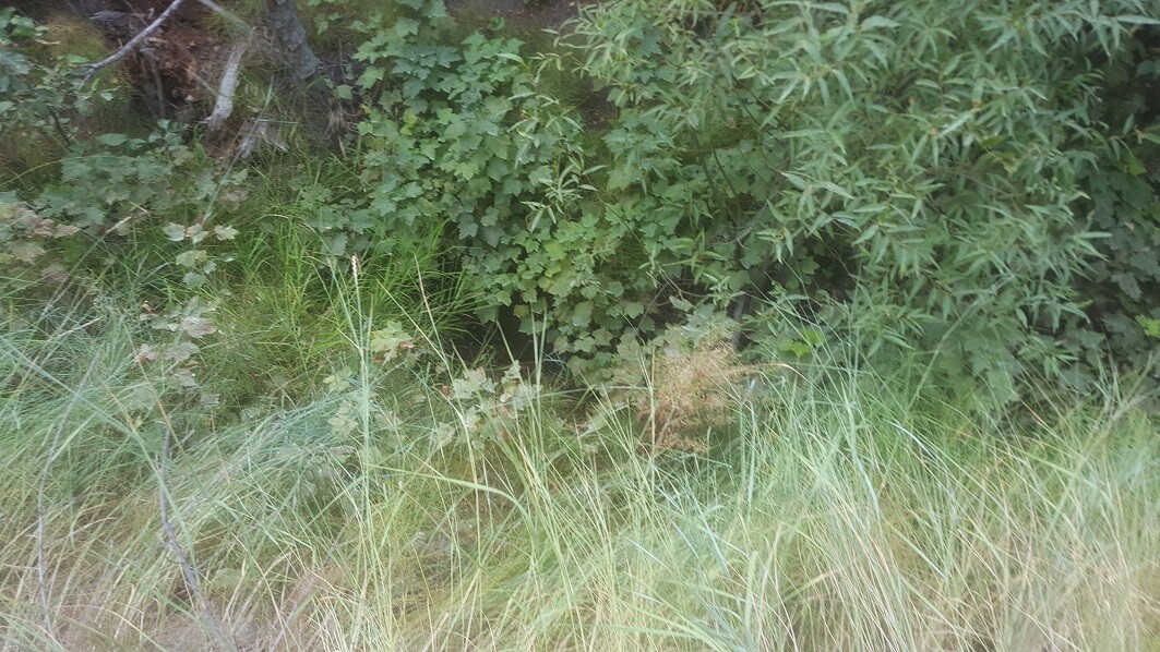
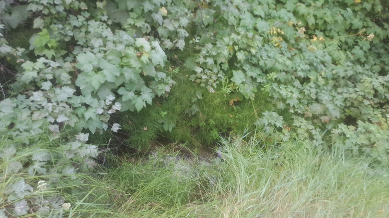
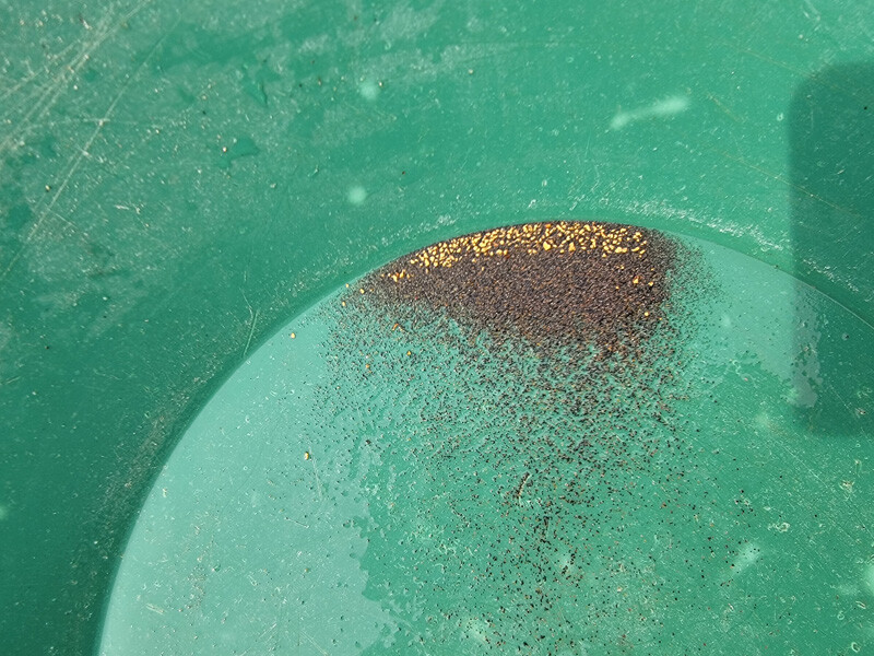
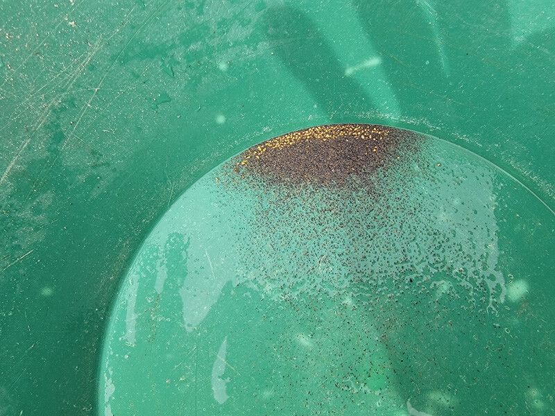
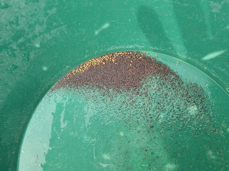
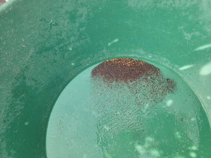
Idaho City sits in the heart of what is known as the Boise Basin, which was discovered & explored for the rich region and deposits that is blanketing throughout the area. Granite Creek, is one such gold bearing tributary, which flows into Mores Creek roughly two miles upstream from historic mining town of Idaho City, where there are full services and accommodations (about a 10 min drive from Idaho City). The NF 327 (aka Granite Cr. & Rabbit Creek Road), is a well-maintained gravel road which runs across the mining claims positioned on Granite Creek. While Granite Creek might not be an overly large creek, it tends to be more shallow getting down to bedrock cracks where gold can be trapped up. I would also note, that Granite Cr. is open to dredging, and as you can see below from just some quick sample runs, the bedrock does hold some nice color that can be recovered even from just short work of prospecting.
As these claims are adjoining, IGM will consider a bundle deal of $3,400.
Gold Strike
Dredging Season
Price: $1,750
- Acreage: 10 acre unpatented placer claim
- River footage: 950’ of Granite Creek
- Location: Boise County, Township 6N, Range 6E, Sec. 33, NW ¼
- Mining claim serial #: ID106852226
Map to Claim
Coordinates
Marker Degrees, Minutes, Seconds
NW 43°49’19.0920″N, -115°45’43.4880″W
NE 43°49’19.0920″N, -115°45’34.6680″W
SE 43°49’12.3960″N, -115°45’34.6680″W
SW 43°49’12.3960″N, -115°45’43.4880″W
Marker Latitude & Longitude
NW 43.82197’N, -115.76208’W
NE 43.82197’N, -115.75963’W
SE 43.82011’N, -115.75963’W
SW 43.82011’N, -115.76208’W
Aerial & Topo Images


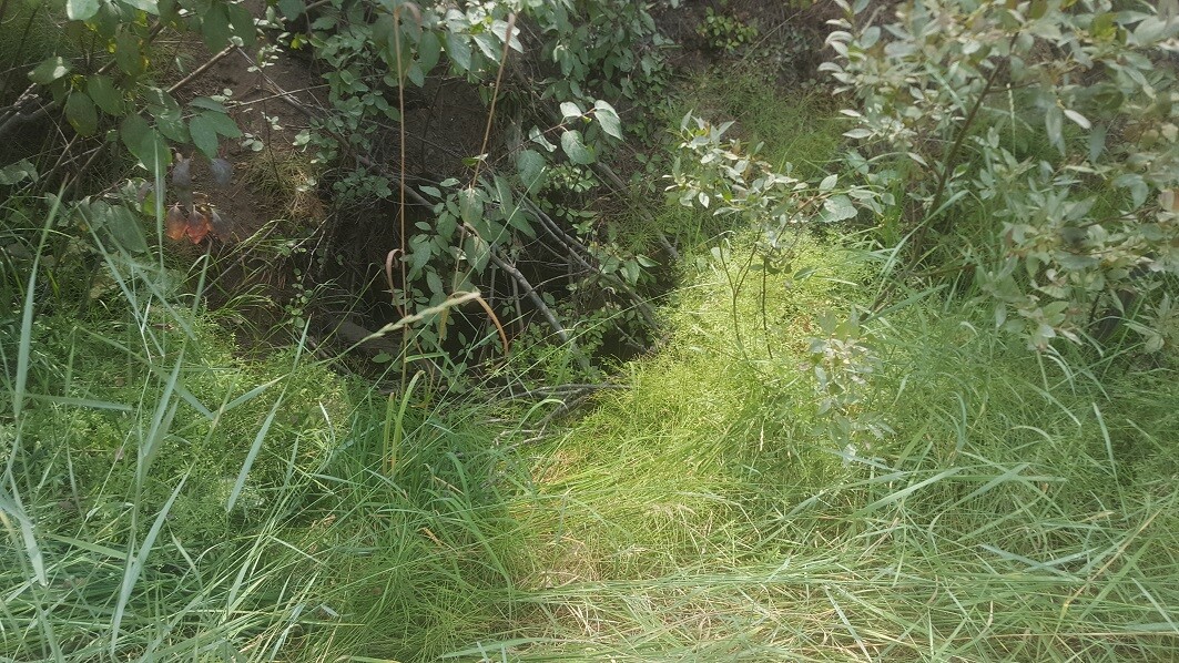
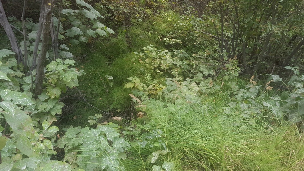
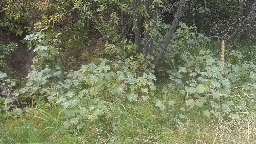
Images
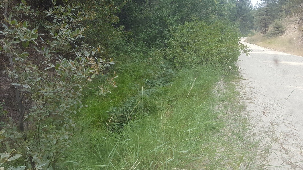
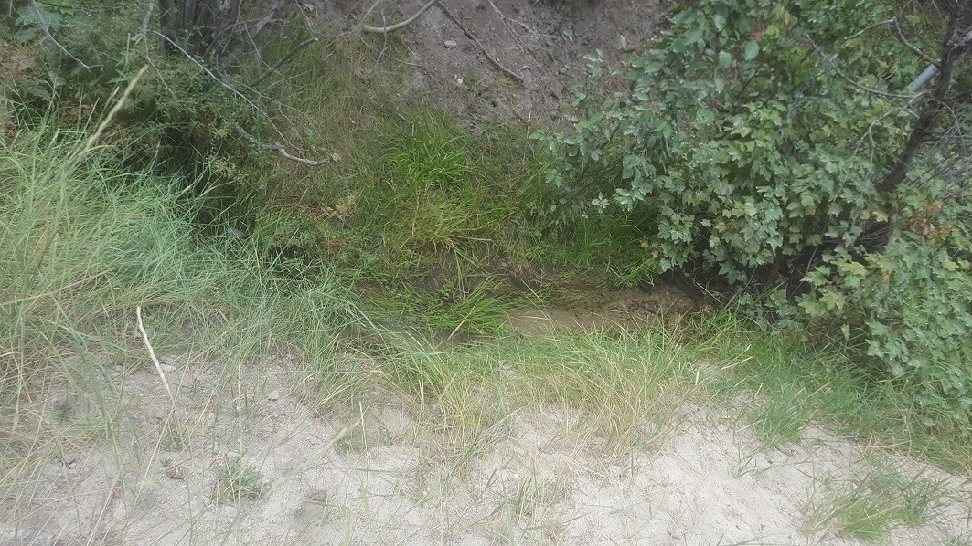
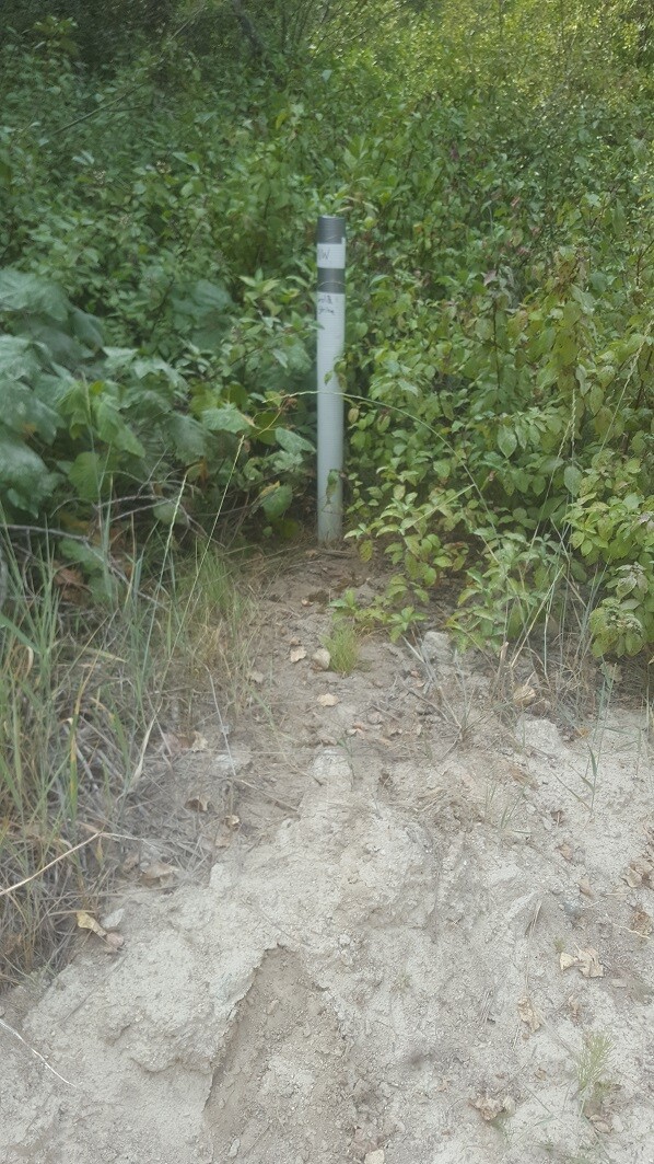
Easy Pickings
Dredging Season
Price: $2,000
- Acreage: 20 acre unpatented placer claim
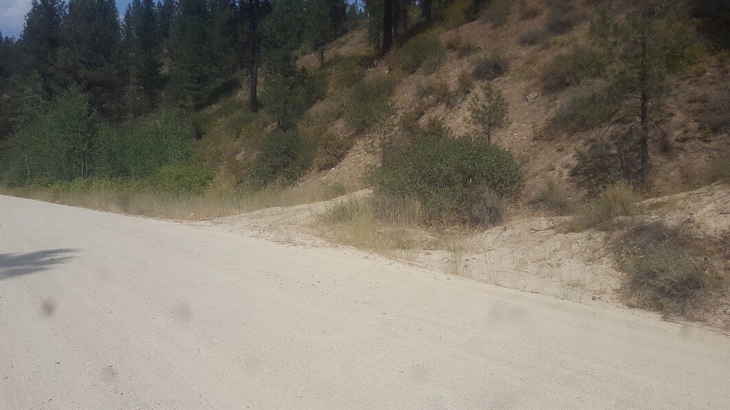
- River footage: 950’ of Granite Creek - Pullouts to develop camping
- Unpatented/patented: unpatented
- Location: Boise County, Township 6N, Range 6E, Sec. 33, NW ¼
- Mining claim serial #: IMC229019
Map to Claim
Coordinates
Marker Degrees, Minutes, Seconds
NW 43°49’12.3960″N, -115°45’34.6680″W
NE 43°49’12.3960″N, -115°45’26.3520″W
SE 43°48’59.6880″N, -115°45’26.3520″W
SW 43°48’59.6880″N, -115°45’34.6680″W
Marker Latitude & Longitude
NW 43.82011’N, -115.75963’W
NE 43.82011’N, -115.75732’W
SE 43.81658’N, -115.75732’W
SW 43.81658’N, -115.75963’W
Aerial & Topo Images
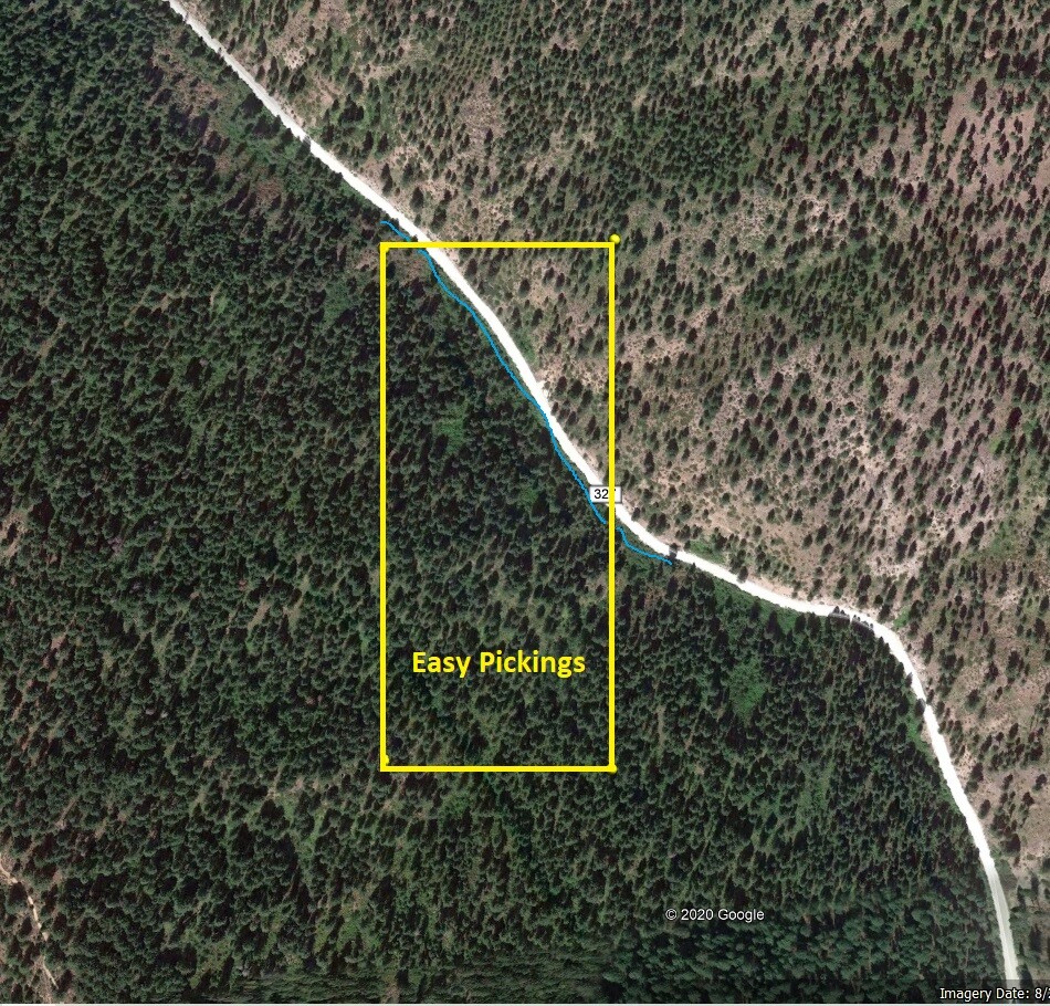
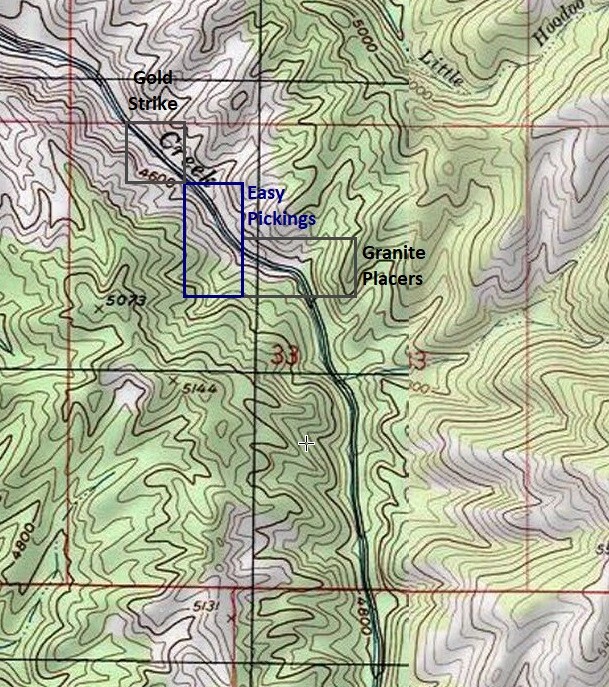
Images
Show me the Gold
We ran a high-banker for about 2.5 hours, getting down around 2.5’ feet (about the same diameter).
Driving Directions from Boise: Take HWY 21 (from I-84 Exit 57), north out of Boise for 36 miles, or about 2 miles past Idaho City. Turn right (east) onto Granite Creek / Rabbit Creek Road (NF327), and stay on this for about 1.7 miles until you reach the mining claims. The claims are marked on the side boundaries (east/west or north/south edges) along the road (normally on the creek side).