Gold S’mores
Grimes Creek Sold
Gold S’Mores mining claim is located in the Idaho City mining district, along the major gold bearing tributary directly on Mores Creek. This portion of Mores Creek is approximately 5 miles downstream of Grimes Creek, so a collection from both major gold bearing tributaries. This rich gold bearing region, is the source of the countless deposits, making Grimes Creek & Mores Creek one of the most sought after areas, with high yields of gold to recover, for the various operations and productions that have occurred since the late 1800s. This claim is situated about 18 miles (about a 30 minute drive) outside of Boise directly off Highway 21. Did we mention dredging? This claim has an open dredging season to enable . So what are you waiting for? Grab that pick and shovel and earth the mother lode. From the pictures below pulled in just a couple hours, it is clear to see why this is a phenomenal area.
On the claim is a large pull out on either side of Highway 21 with adequate parking for start setting up your operation. The old mining town of Idaho City is only 15 miles away where provisions are available, or scattered around even closer, are several old mining ghost towns, like Pioneerville, Centerville, Placerville, Grimes Pass, Quartzburg. Check out Gold S’Mores today! Yes, Highway 21 is open year round, so while there is snow up in this area during the winter months, in late March it is mostly melted off in this elevation.
- Acreage: 17.35 acre unpatented placer claim
- River footage: 700’+ Mores Creek drainage
- Location: Boise County, Township 4N, Range 4E, Section 15
- Mining claim serial #: IMC218665 (aka ID10556255)
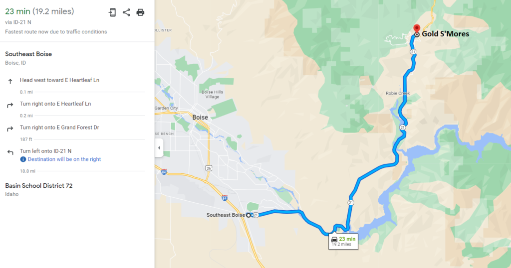
Map to Claim
Coordinates
Marker Degrees/Minutes/Seconds
NW 43°40’40.111”N, -115°58’33.428”W
NE 43°40’36.718”N, -115°58’15.300”W
SE 43°40’34.296”N, -115°58’15.300”W
SW 43°40’34.296”N, -115°58’33.428”W
Marker Latitude/ Longitude
NW 43.6778086°N, -115.9759522°W
NE 43.6768661°N, -115.9709167°W
SE 43.6761933°N, -115.9709167°W
SW 43.6761933°N, -115.9759522°W
Maps


Images


Overview
Driving Directions: Vehicle access to the claim is via asphalt highway which you can drive virtually up to the riverside. The claim is located 16 miles outside Boise or 15 miles downstream from the historic town of Idaho City. Driving directions to the claim: from Boise, travel north on HWY 21 to approximately 16 miles (past mile marker 16). Signage is posted clearly identifying the claim along the roadside.