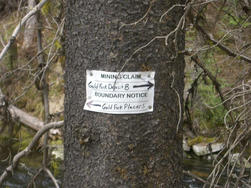
Gold Fork Placers
Gold Fork Sold
- Acreage: 20 acre unpatented placer claim
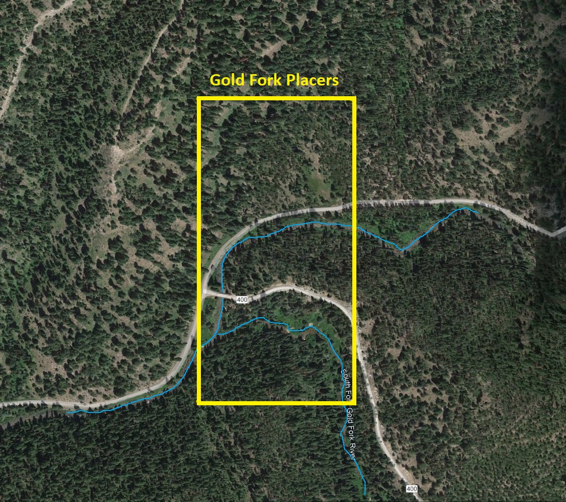
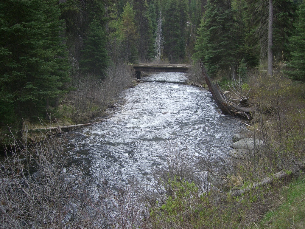
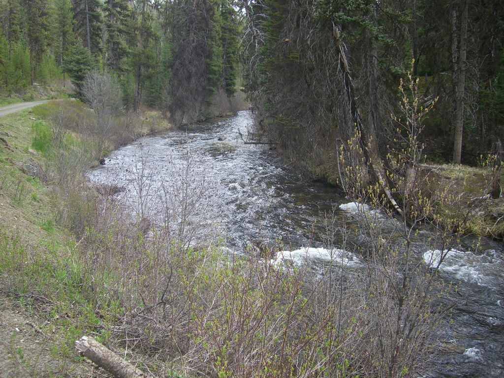
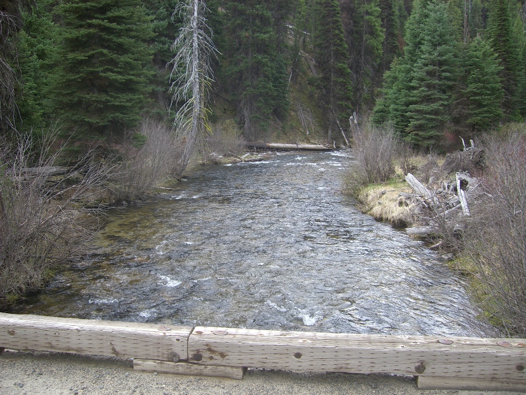
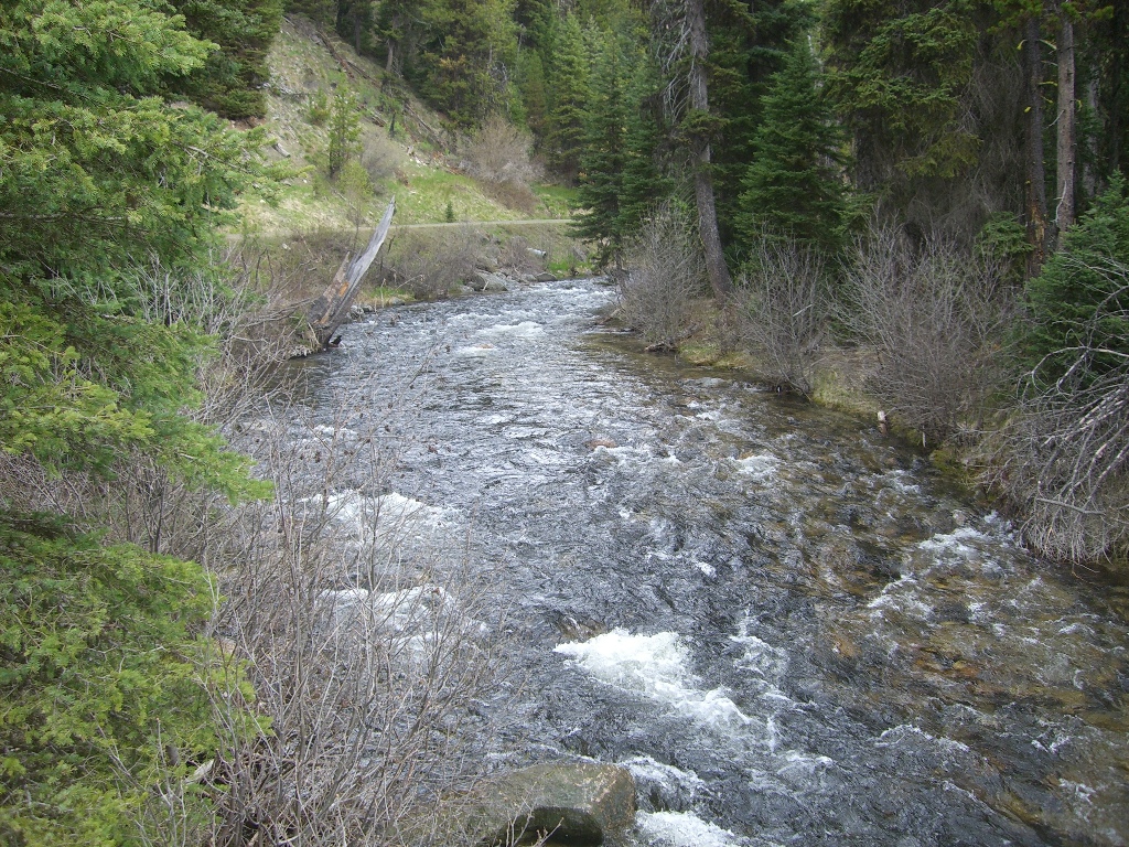
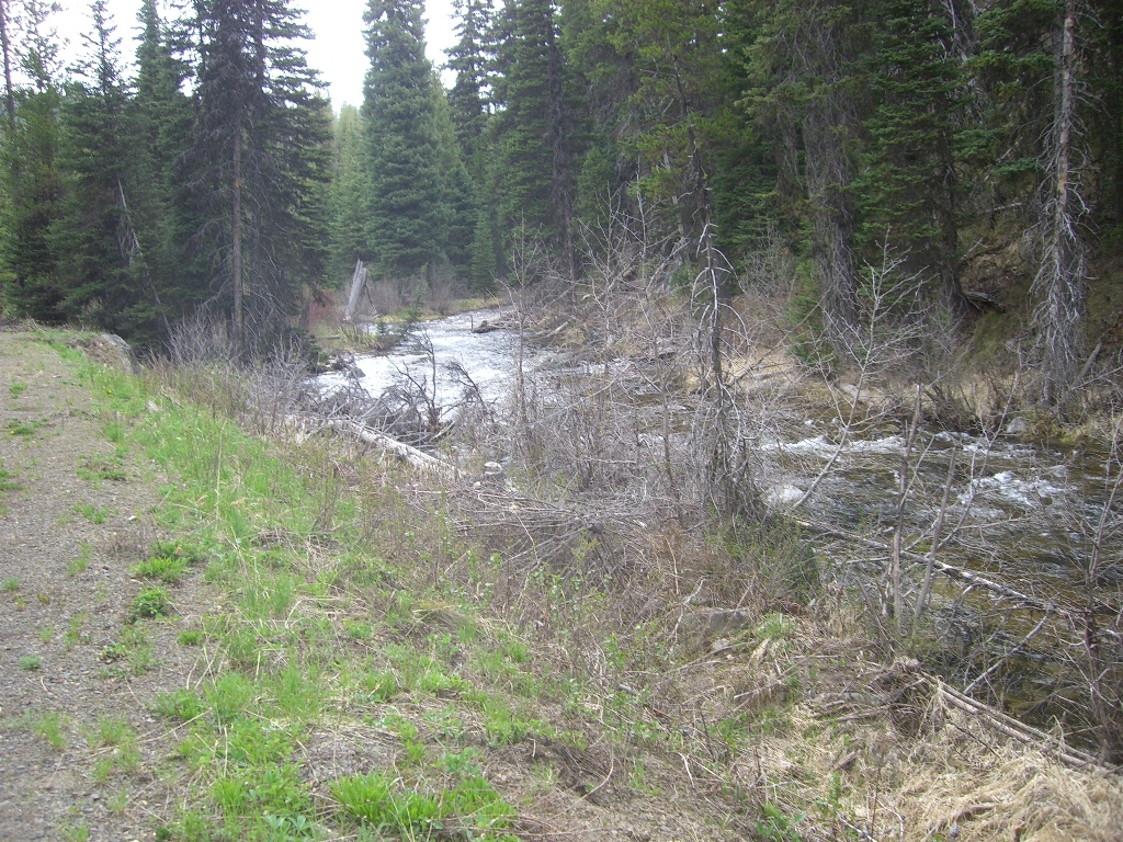
- River footage: 150’ main Gold Fork, 950’ of North Fork & 850’ of South Fork Gold Fork River - Large area “on” the claim
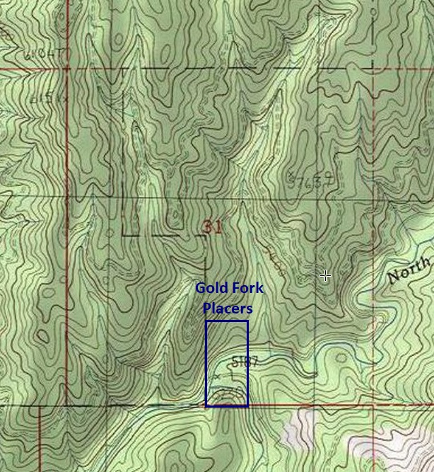
- Location: Valley County, Township 16N, Range 5E, Sec. 31, SE ¼
- Mining claim serial #: ID106332625
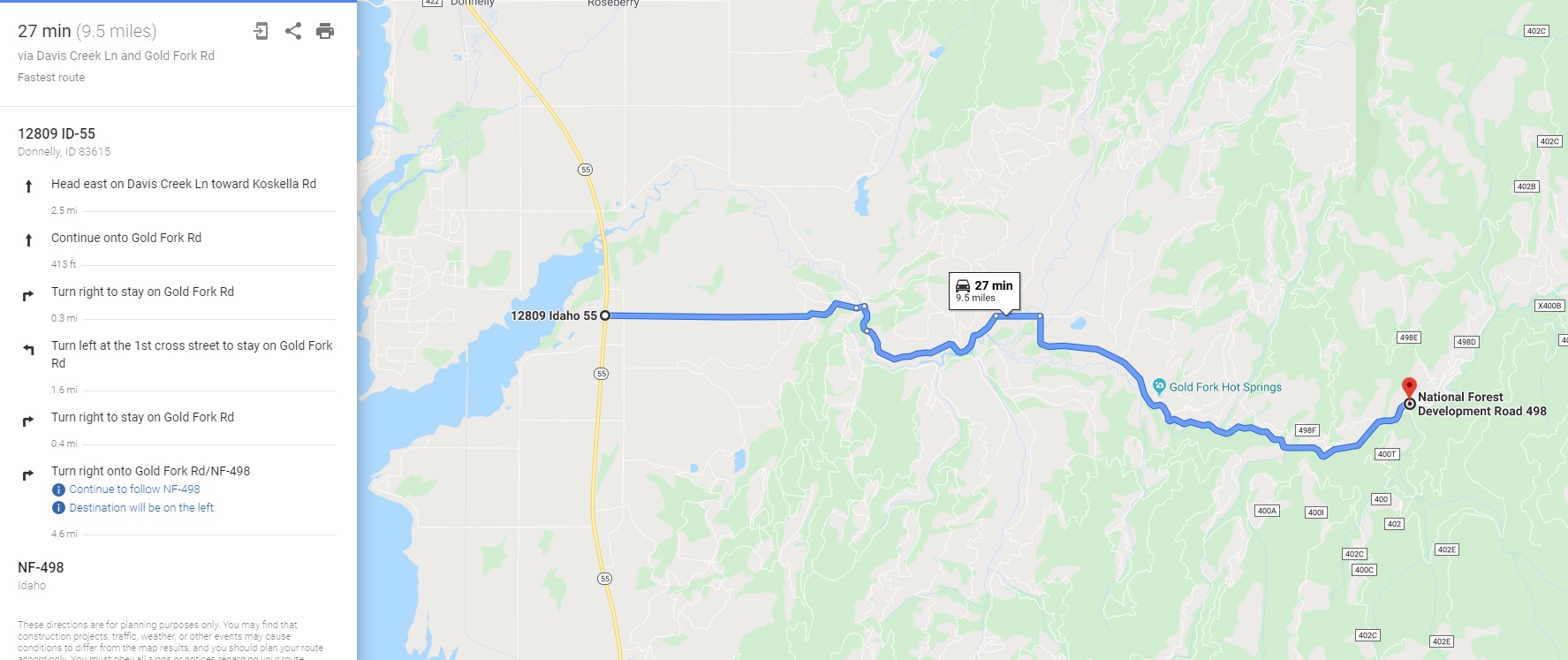
Map to Claim
Coordinates
Marker Degrees, Minutes, Seconds
NW 44°40’35.6520″N, -115°53’50.1072″W
NE 44°40’35.6520″N, -115°53’40.9164″W
SE 44°40’22.7568″N, -115°53’40.9164″W
SW 44°40’22.7568″N, -115°53’50.1072″W
Marker Latitude/Longitude
NW 44.67657’N, -115.89725’W
NE 44.67657’N, -115.89470W
SE 44.67298’N, -115.89470’W
SW 44.67298’N, -115.89725’W
Maps
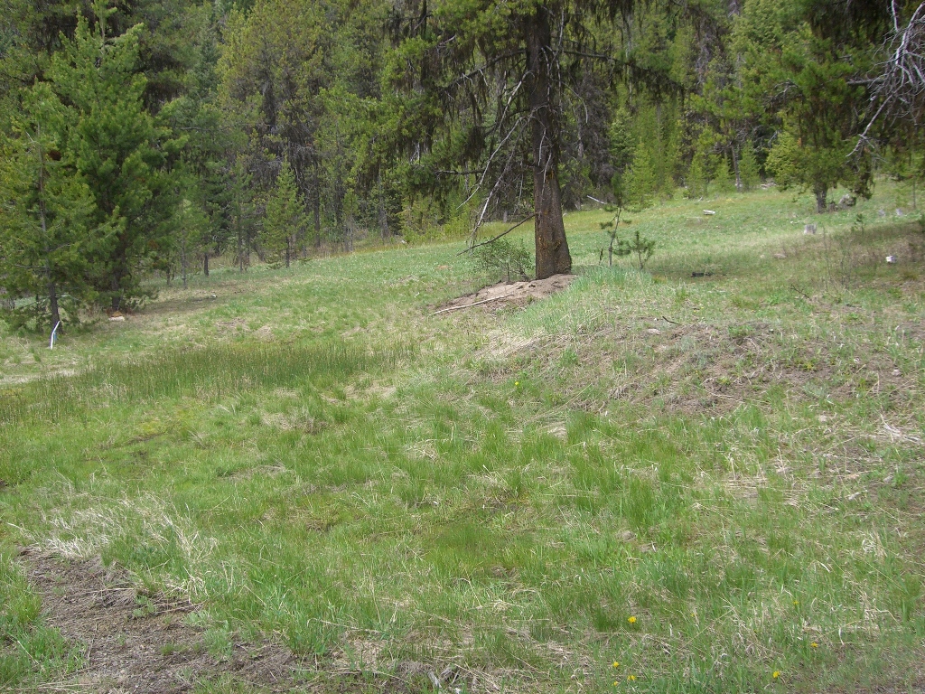
Images
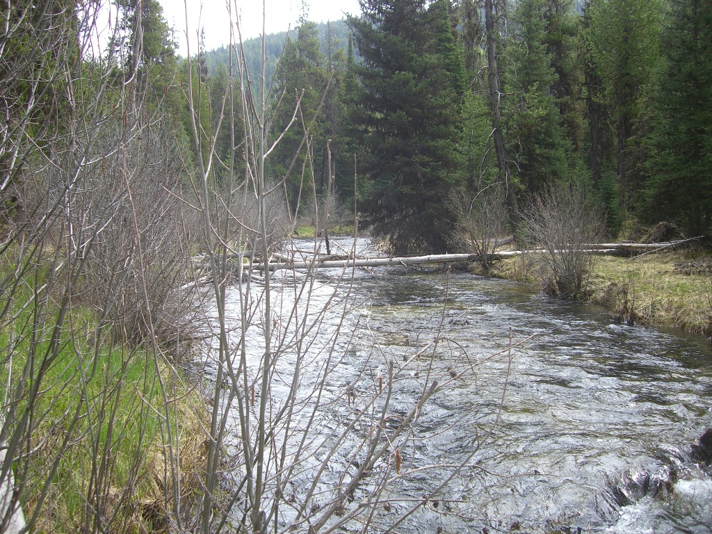
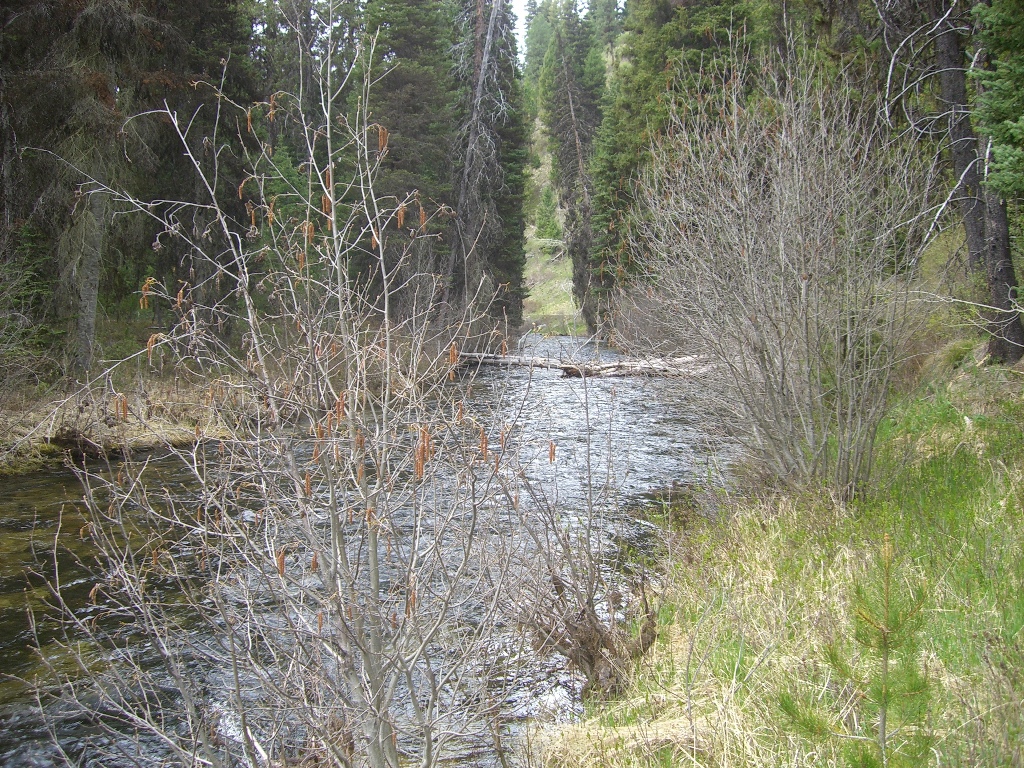
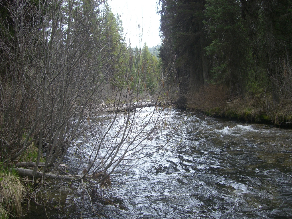
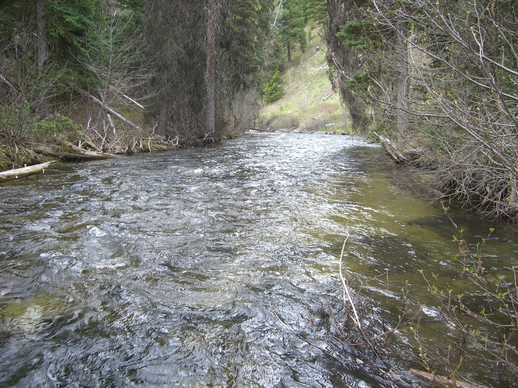
Overview
Driving Directions from Boise: Take HWY 55 (from State Street aka HWY 44), north out of Boise towards McCall. You will stay on HWY 55 for approximately 83 miles, which is roughly 13 miles past Cascade (or 3 miles south of before reaching Donnelly). You will turn right (east) on Davis Creek Lane (Gold Fork Hot Springs and River access sign). Stay on this road for approximately 2.5 miles, then turn right at the T (just after the bridge) on Gold Fork Rd. The name of the road eventually changes to NF Road-498, after following this for another approximately 7 miles, you will have reached the claim. The claim is approximately 2.5 miles past the Gold Fork Hot Springs establishment. On the claim there is a bridge to access both sides of the river. Signage is posted clearly identifying the claim along the river side of the roadway.