Gold Fork Ore A & B
Gold Fork Sold
Overview
Gold Fork Ore B
- Acreage:
- River footage:
- Location:
- Mining claim serial #:
Gold Fork Ore A
Sold
- Acreage: 20 acres
- River footage: 1000 feet of Gold Fork River
- Placer/lode: placer
- Unpatented/patented: unpatented
- Location: Valley County, Township 15N, Range 4E, Section 01 NE 1/4
- Mining claim serial #: IMC218817 aka ID101551694
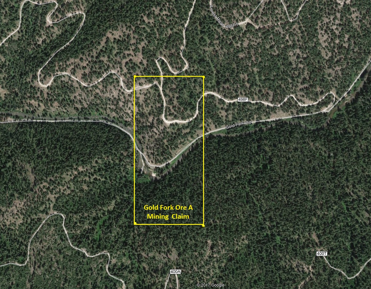
Map to Claim
Coordinates
NW 44°40’13.6200″N, -115°54’45.4320″W
NE 44°40’13.6200″N, -115°54’36.1800″W
SE 44°39’59.4720″N, -115°54’36.1800″W
SW 44°39’59.4720″N, -115°54’45.4320″W
NW 44.67045ºN, -115.91262ºW
NE 44.67045ºN, -115.91005ºW
SE 44.66652ºN, -115.91005ºW
SW 44.66652ºN, -115.91262ºW
Aerial & Topo Images

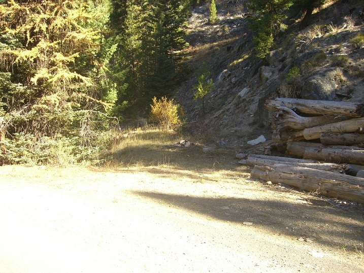
Images