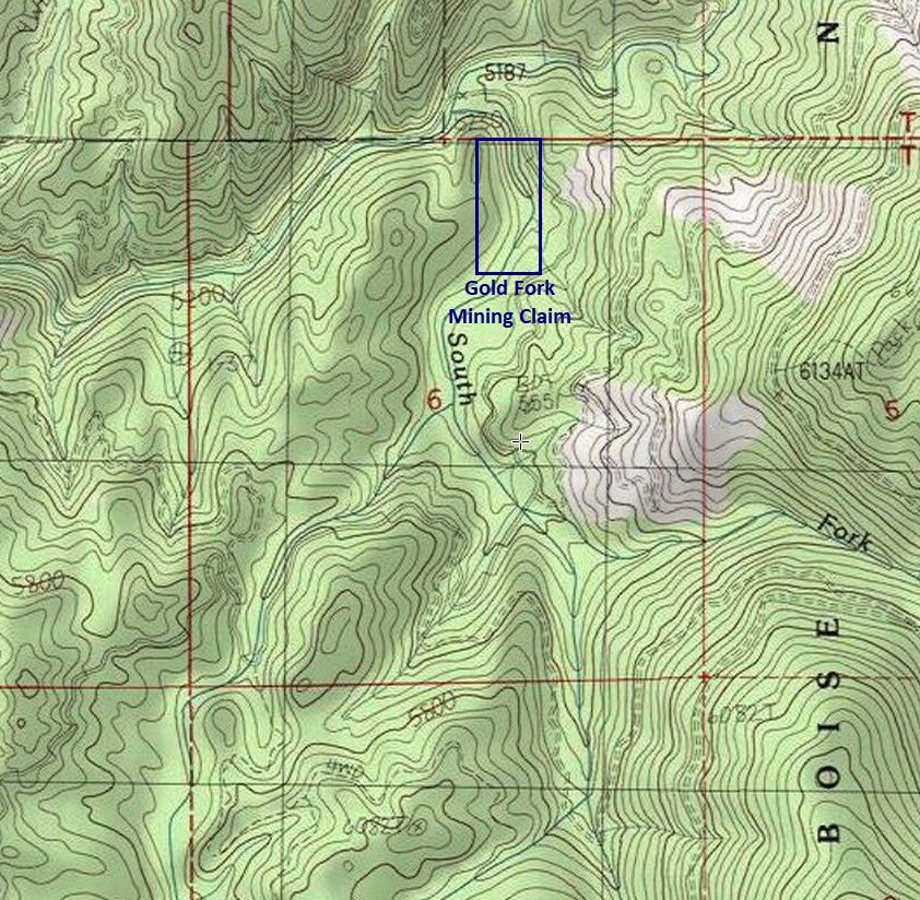
Gold Fork Mining Claims
Gold Fork Sold
Overview
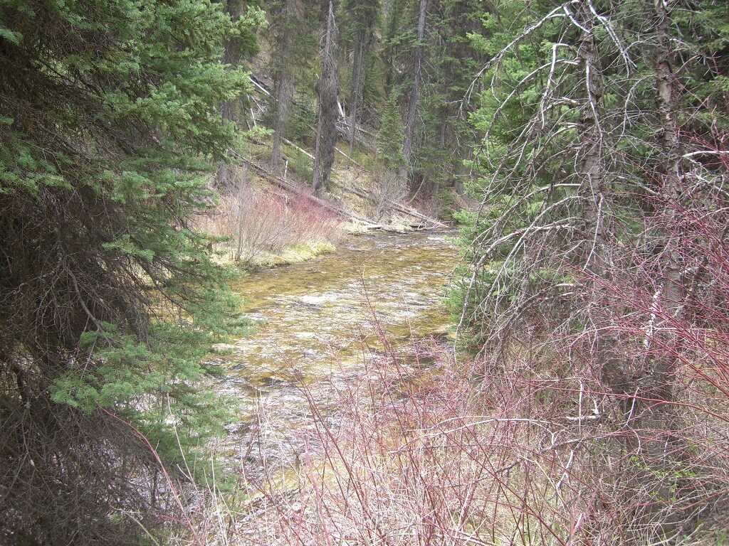
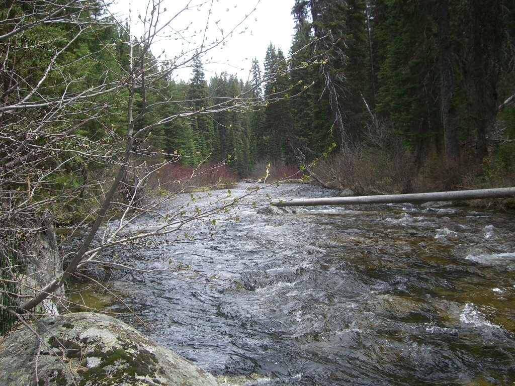
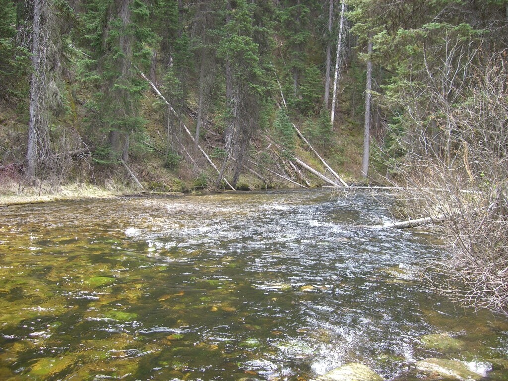
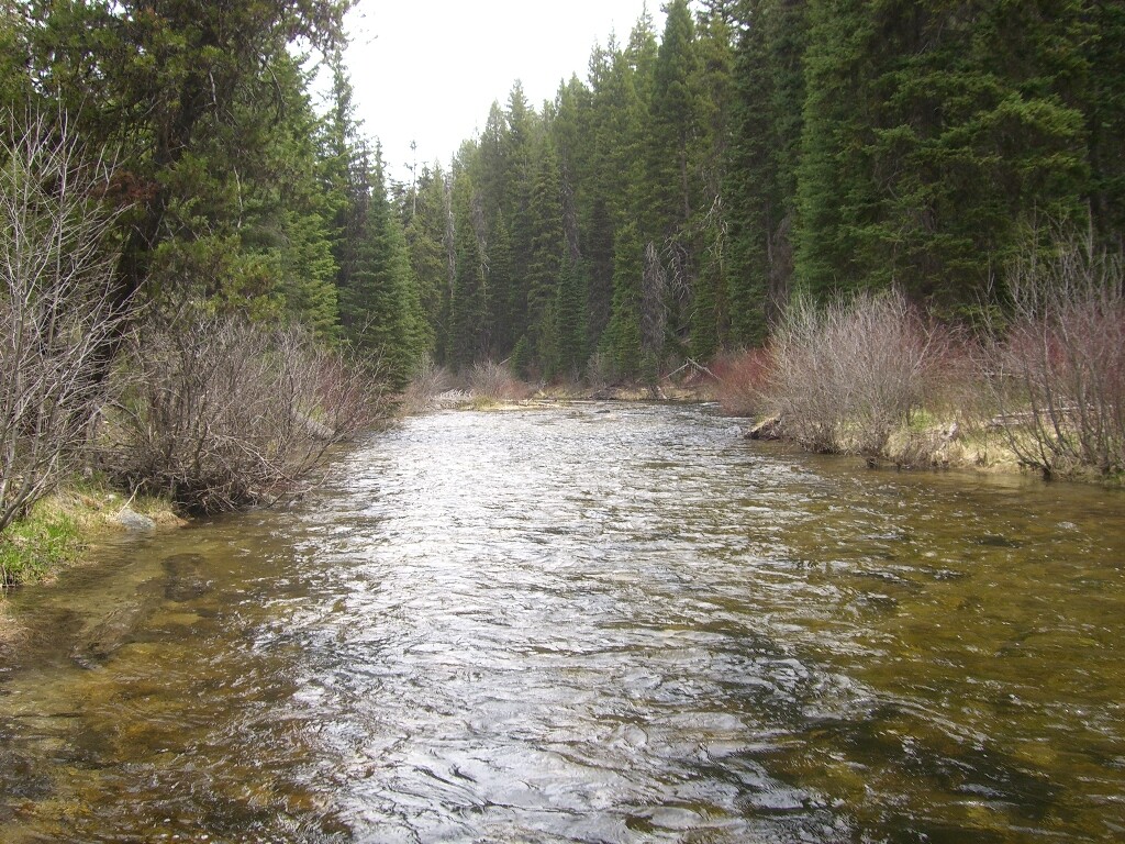
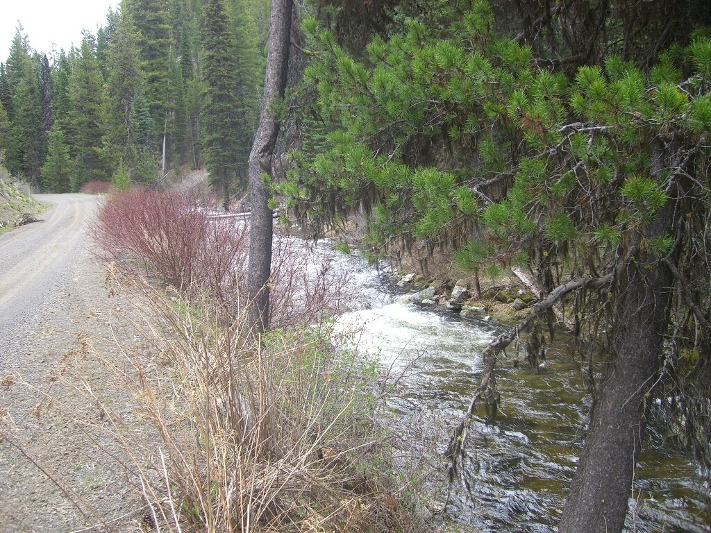
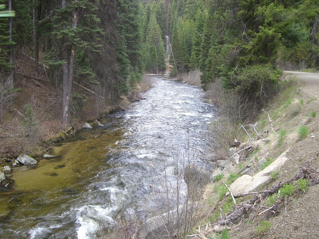
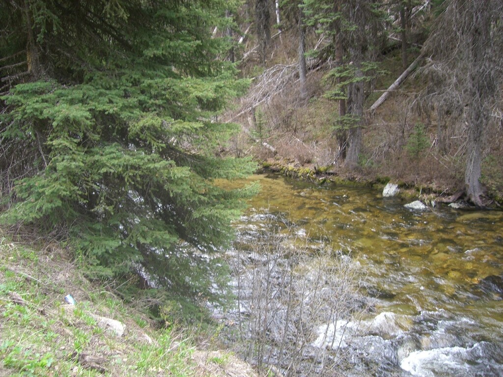
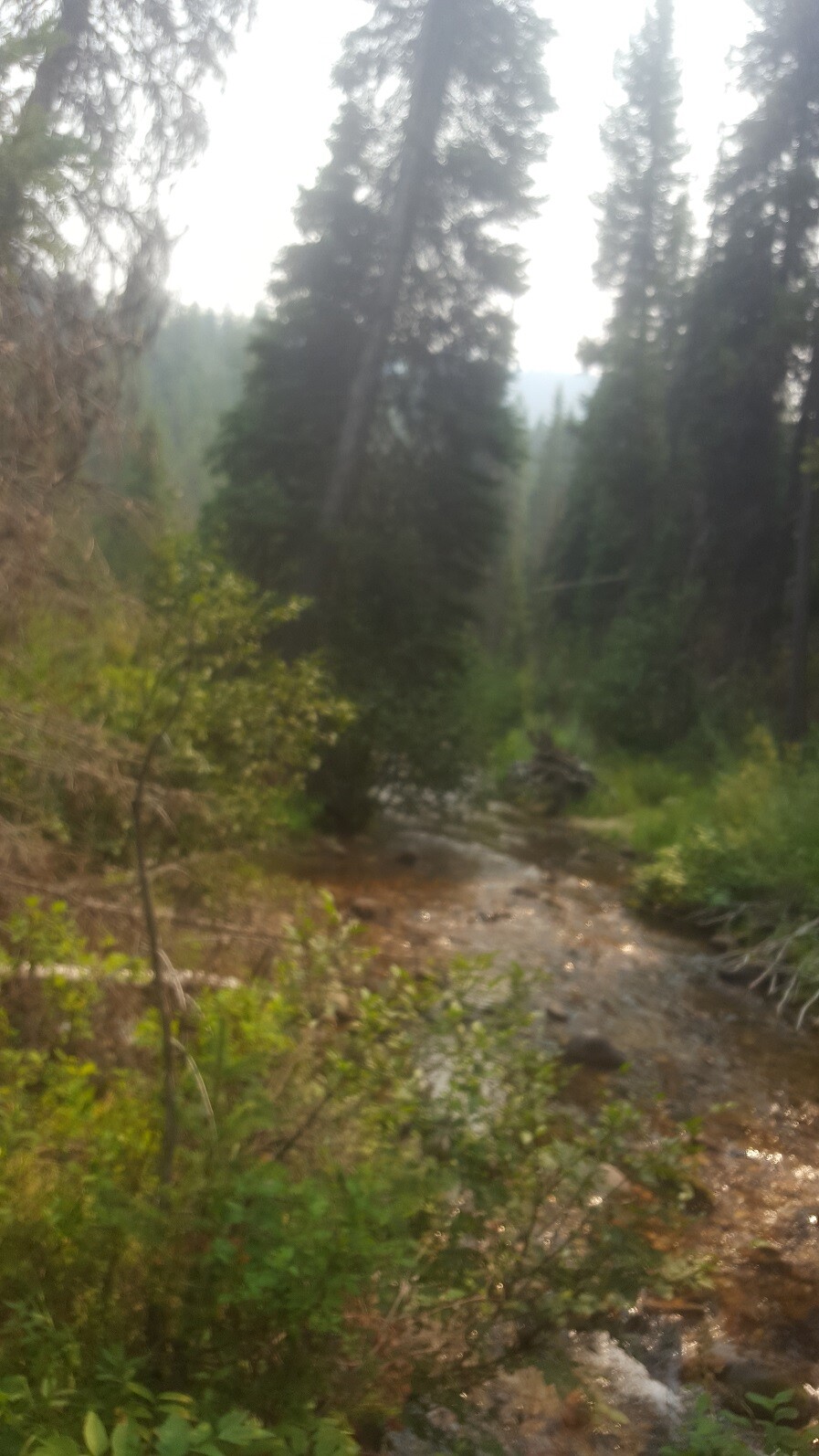
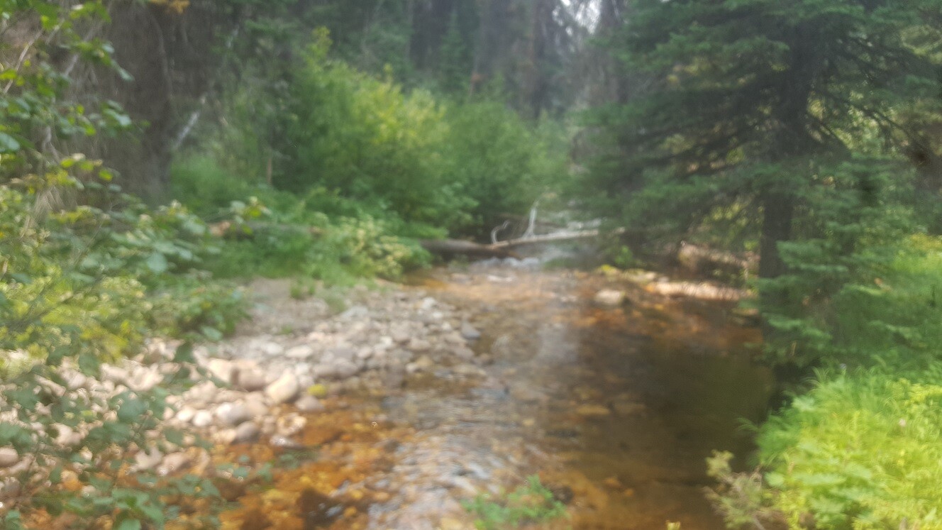
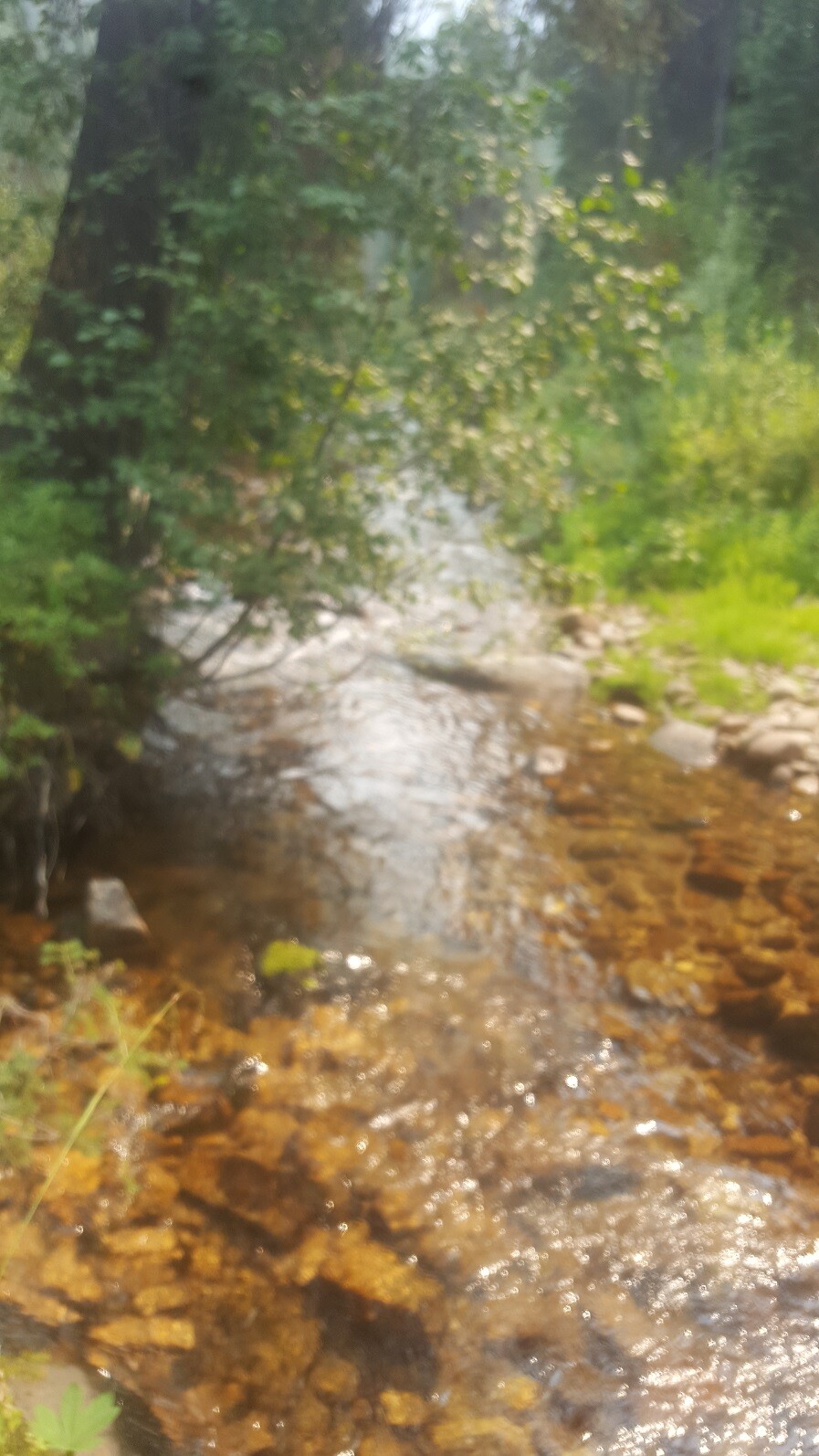
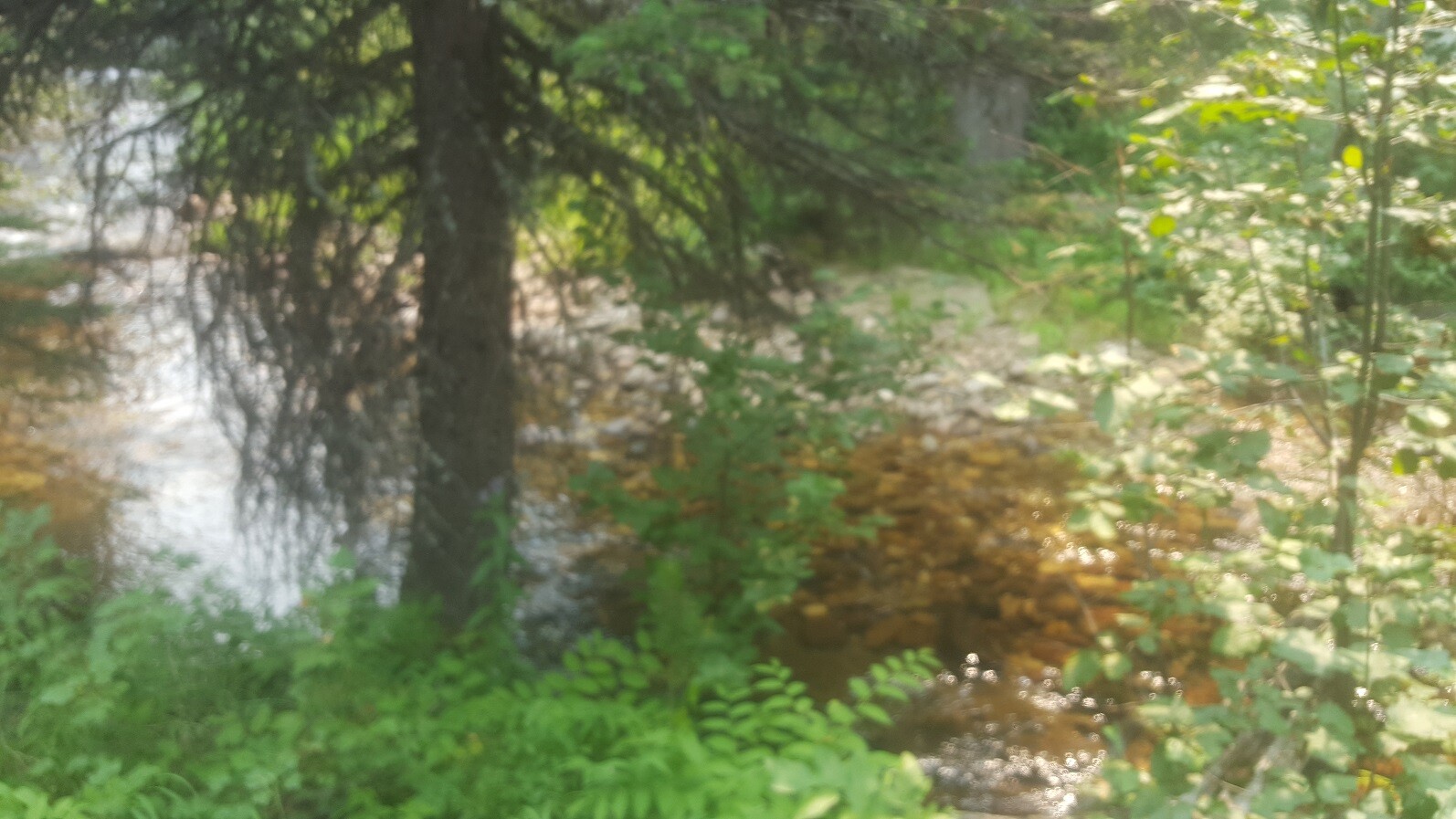
Idaho Gold Mining is proud to be offering up these three mining claims on the Gold Fork River. This is up in the Cascade/McCall region on the Gold Fork River, which has a very strong and rich history. My company gets asked multiple times a year, whether I have or will have more claims coming available on this amazing stretch or river. From just the incredible scenery alone, it is well worth the drive, but then look what others are also recovering from their Gold Fork mining claims (see testimonials and “SHOW ME THE GOLD” link). All of these mining claims have exceptional access, even a 2WD vehicle can get into. Did I also mention the Gold Fork Hot Springs establishment, which is only about 2 & ½ miles from these claims? So a LOT of recreational opportunities out here on these claims.
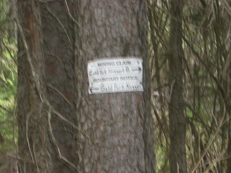
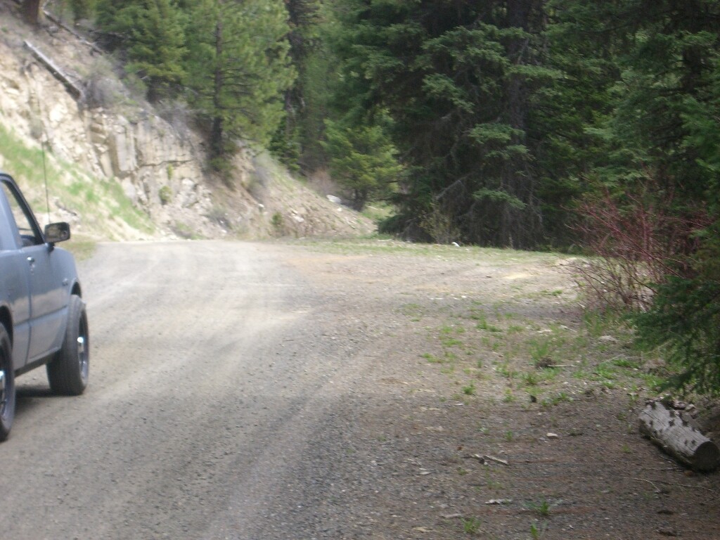
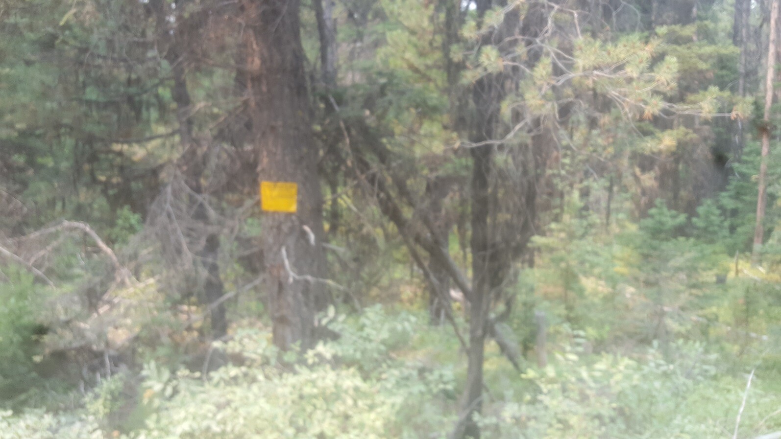
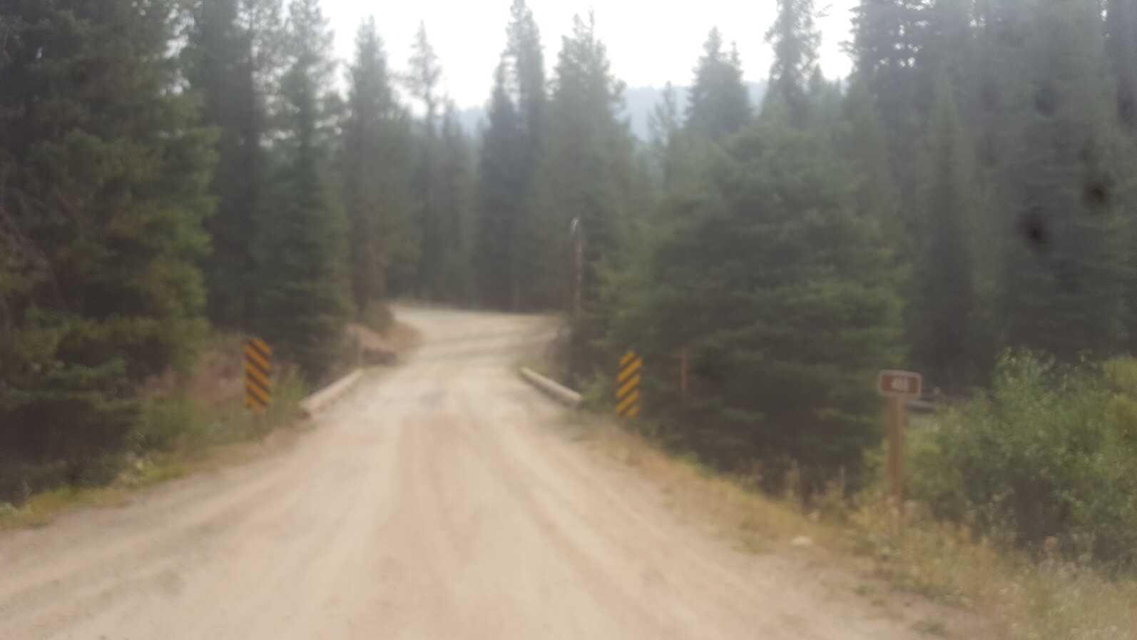
There are ample places to park (pullout along the road “on” the claims) and camp randomly along the Gold Fork Road, but there hasn’t been designated camping areas established directly “on” these claims yet (although some within just 500’ of these claims). While signs were placed along the road years ago showing the boundaries to these claims, they might be a bit faded, but some very specific driving direction listed below to make finding the claims very easy.
Idaho Gold Mining will consider bundle prices; $500 off the total purchase price of 2 mining claims, or $6,750 for all 3 mining claims.
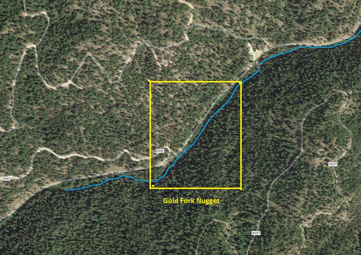
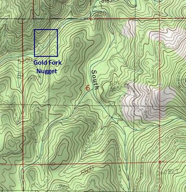
Gold Fork Nugget
Sold
- Acreage: 20 acre unpatented placer claim
- River footage: 1350’ of Gold Fork River
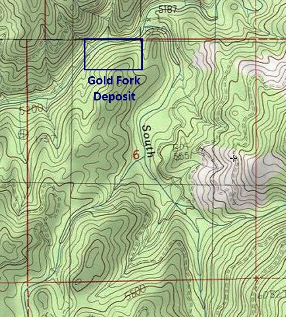
- Location: Valley County, Township 15N, Range 5E, Sec. 06, NE ¼
- Mining claim serial #: ID106740328
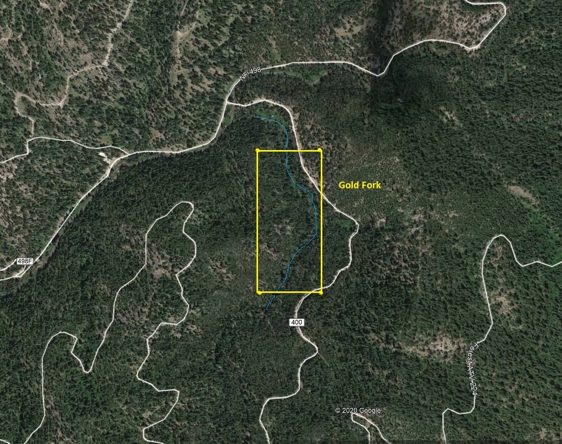
Map to Claim
Coordinates
Marker Degrees, Minutes, Seconds
NW 44°40’18.7428″N, -115°54’20.2118″W
NE 44°40’18.7428″N, -115°54’07.8732″W
SE 44°40’08.3645″N, -115°54’07.8732″W
SW 44°40’08.3645″N, -115°54’20.2118″W
Marker Latitude/Longitude
NW 44.671873°N, -115.905614°W
NE 44.671873°N, -115.902187°W
SE 44.668869°N, -115.902187°W
SW 44.668869°N, -115.905614°W
Aerial & Topo Images
Images


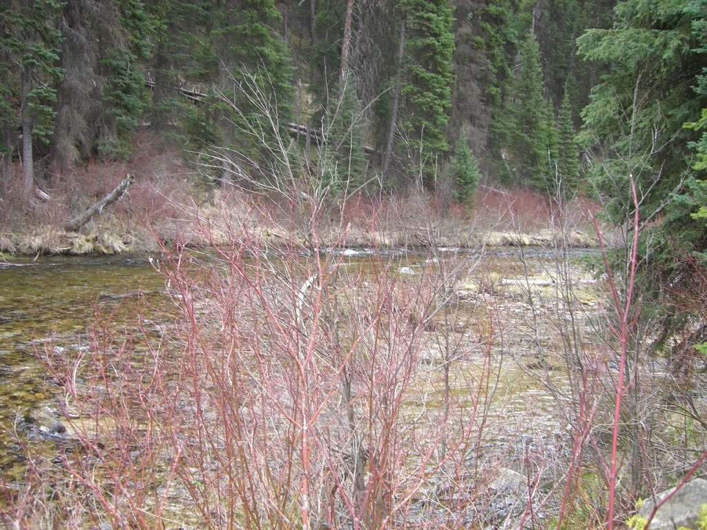
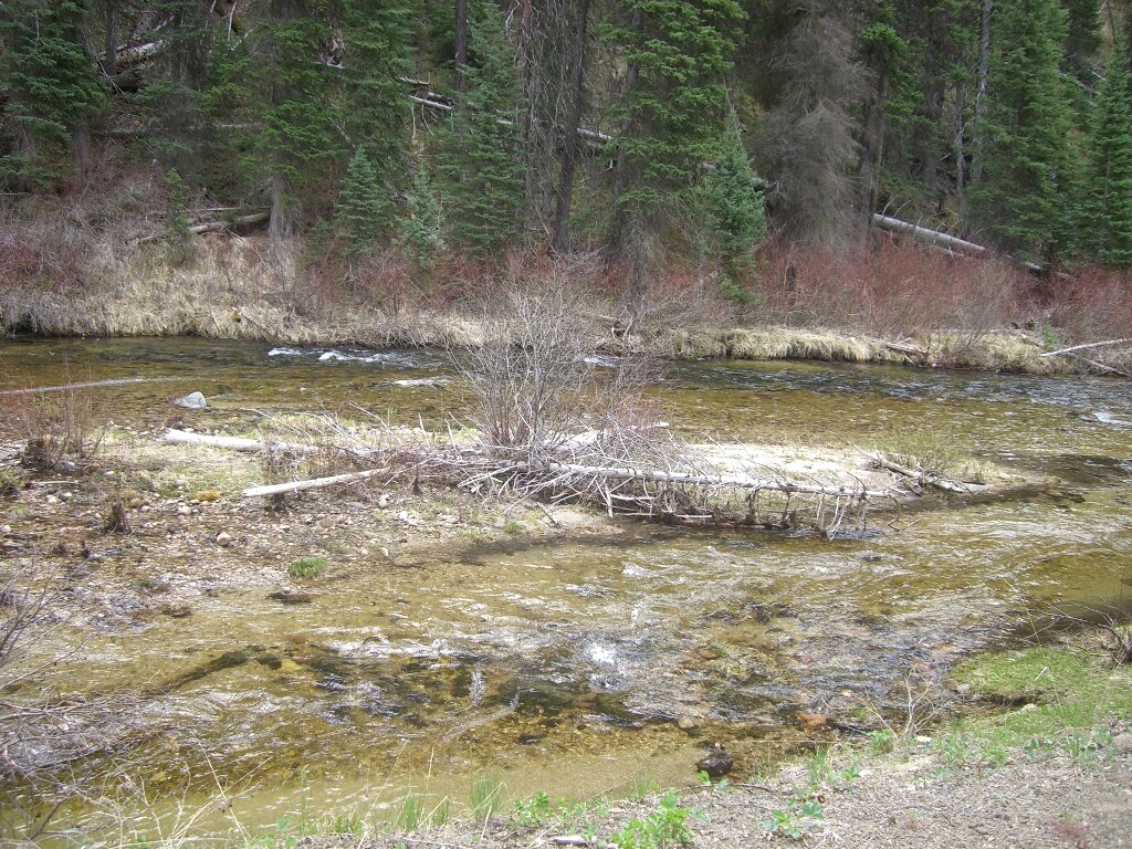

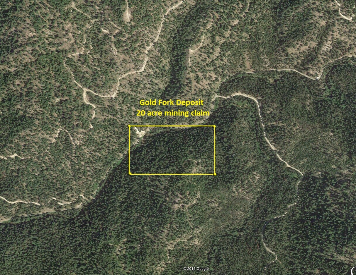
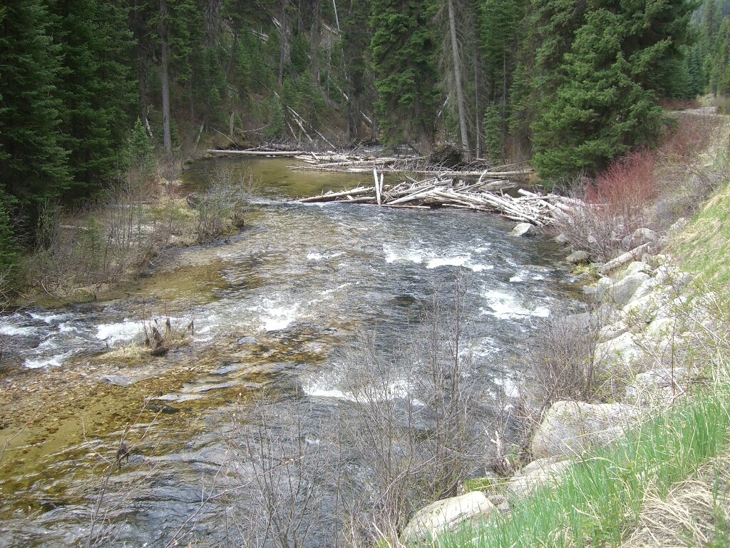
Gold Fork Deposit
Sold
- Acreage: 20 acre unpatented placer claim
- River footage: 1250’ of Gold Fork River
- Location: Valley County, Township 15N, Range 5E, Sec. 06, NE ¼
- Mining claim serial #: ID106740329
Map to Claim
Coordinates
Marker Degrees, Minutes, Seconds
NW 44°40’22.7568″N, -115°54’07.8732″W
NE 44°40’22.7568″N, -115°53’50.1072″W
SE 44°40’15.6504″N, -115°53’50.1072″W
SW 44°40’15.6504″N, -115°54’07.8732″W
Marker Latitude/Longitude
NW 44.672988°N, -115.902187°W
NE 44.672988°N, -115.897252°W
SE 44.671014°N, -115.897252°W
SW 44.671014°N, -115.902187°W
Aerial & Topo Images
Images

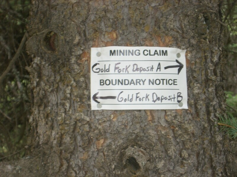


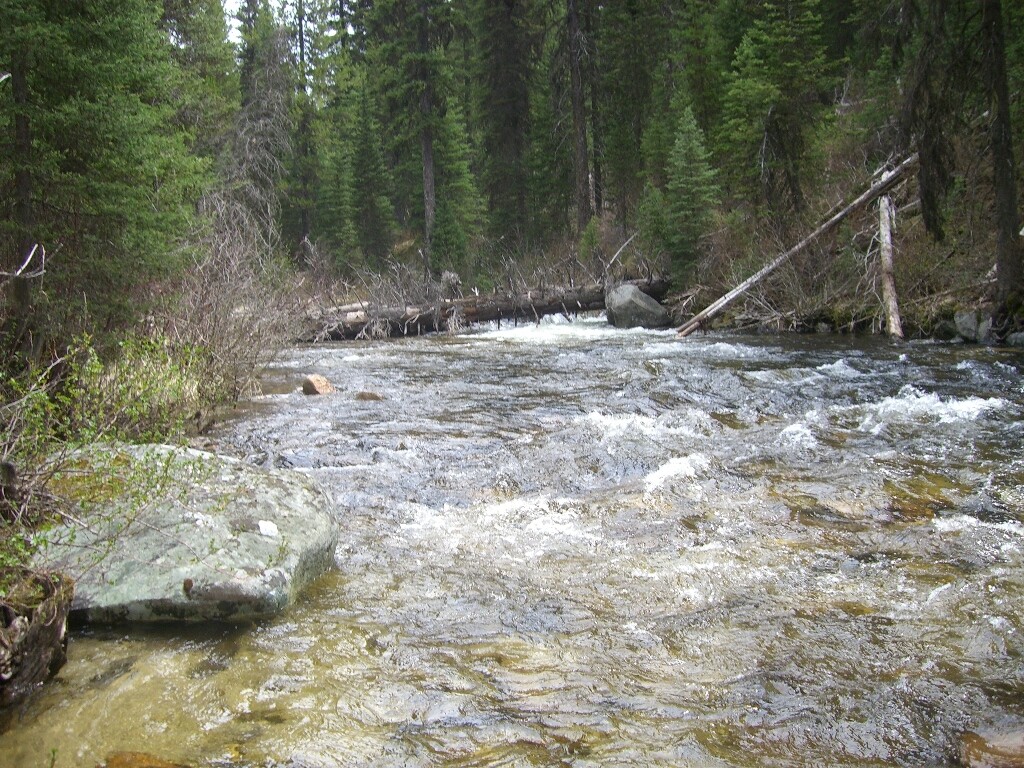

Gold Fork
Sold
- Acreage: 20 acre unpatented placer claim
- River footage: 1400’ of Gold Fork South
- Location: Valley County, Township 15N, Range 5E, Sec. 06, NE ¼
- Mining claim serial #: ID106739326
Map to Claim
Coordinates
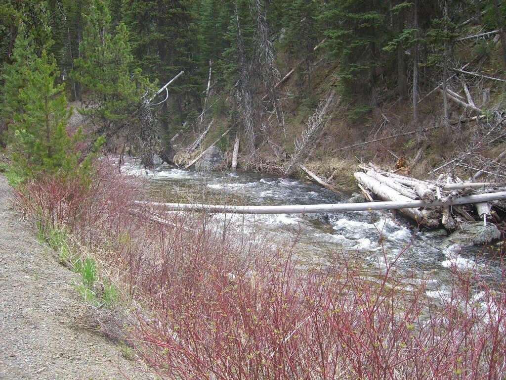
While the main road does travel across the “Gold Fork” mining claim (on the east side), working this claim gives you more seclusion as the actual Gold Fork South River ranges from 50’ to 200’ away from the road (on the west side). There is also an old abandoned cabin on this claim which might be good to metal detect around.
Marker Degrees, Minutes, Seconds
NW 44°40’22.7568″N, -115°53’43.9804″W
NE 44°40’22.7568″N, -115°53’34.7896″W
SE 44°40’07.4172″N, -115°53’34.7896″W
SW 44°40’07.4172″N, -115°53’43.9804″W
Marker Latitude/Longitude
NW 44.672988’N, -115.895550’W
NE 44.672988’N, -115.892997’W
SE 44.668727’N, -115.892997’W
SW 44.668727’N, -115.895550’W
Aerial & Topo Images
Images
Show Me The Gold
Driving Directions from Boise: Take HWY 55 (from State Street aka HWY 44), north out of Boise towards McCall. You will stay on HWY 55 for approximately 83 miles, which is roughly 13 miles past Cascade (or 3 miles south of before reaching Donnelly). You will turn right (east) on Davis Creek Lane (Gold Fork Hot Springs and River access sign). Stay on this road for approximately 2.5 miles, then turn right at the T (just after the bridge) on Gold Fork Rd. The name of the road eventually changes to NF Road-498, after following this for another approximately 6.2 miles (or 2.2 miles past Gold Fork Hot Springs), to Gold Fork Nugget mining claim. Or at about 2.2 miles past Gold Fork Hot Springs, you will see NF 498F road that shoots off to the left (do not take this road), but this is approximately the start (west side) of the Gold Fork Nugget claim and extends another 0.2 of a mile further. Gold Fork Deposit is adjacent to Gold Fork Nugget, so approximately 0.2 of a mile past the NF 498F junction. To get to the “Gold Fork” mining claim you will continue approximately 0.6 of a mile past the NF 498F junction (or 2.7 miles past Gold Fork Hot Springs) you will come to the NF 400 junction, turn right (across the bridge). The claim is located approximately 600 feet past the bridge, and extends another 1320 feet (further south).