Gold Fork Fever
Gold Fork Sold
- Acreage: 20 acres
- River footage: 900 feet of Gold Fork River
- Placer/lode: placer
- Location: Valley County, Township 15N, Range 4E, Section 01 NW ¼
- Mining claim serial #: IMC220467
Map to Claim
Coordinates
NW 44.67219’N, -115.91988’W
NE 44.67219’N, -115.91729’W
SE 44.66847’N, -115.91729’W
SW 44.66847’N, -115.91988’W
NW 44°40’19.8840″N, -115°55’11.5680″W
NE 44°40’19.8840″N, -115°55’02.2440″W
SE 44°40’06.4920″N, -115°55’02.2440″W
SW 44°40’06.4920″N, -115°55’11.5680″W
Maps


Images

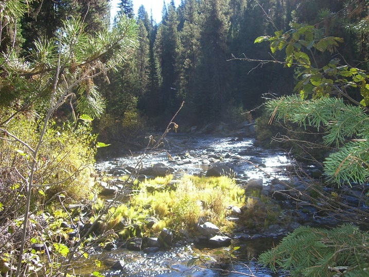

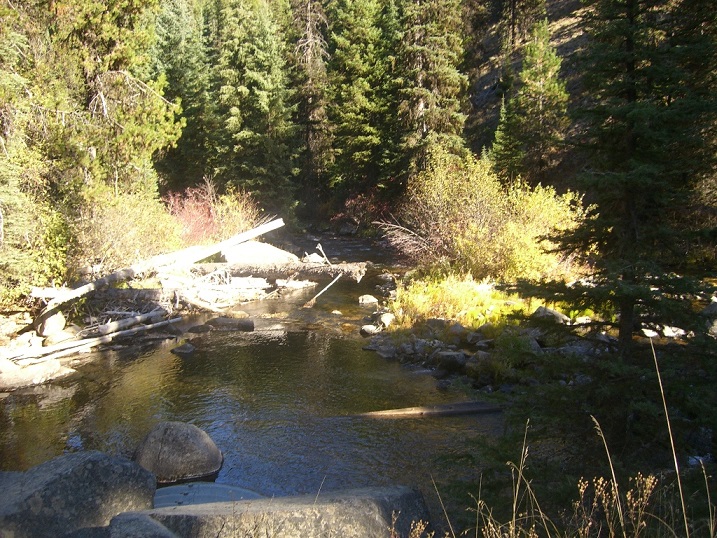


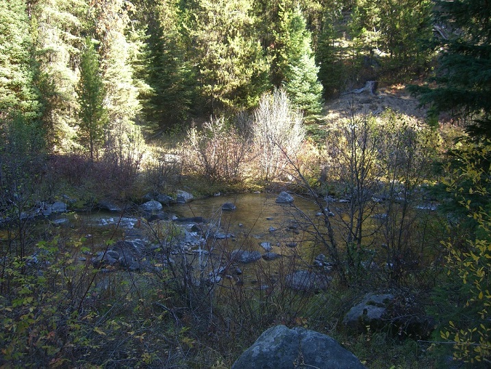
Overview
Driving Directions from Boise: Take HWY 55 (from State Street aka HWY 44), north out of Boise towards McCall. You will stay on HWY 55 for approximately 83 miles, which is roughly 13 miles past Cascade (or 3 miles south of before reaching Donnelly). You will turn right (east) on Davis Creek Lane (Gold Fork Hot Springs and River access sign). Stay on this road for approximately 2.5 miles, then turn right at the T (just after the bridge) on Gold Fork Rd. The name of the road eventually changes to NF 498, after following this for another approximately 5.5 miles, you will have reached the claim. The claim is approximately 1 mile past the Gold Fork Hot Springs establishment, or at the first bridge crossing past the hot springs. Signage is posted clearly identifying the claim along the river side of the roadway.