First Prospect #1
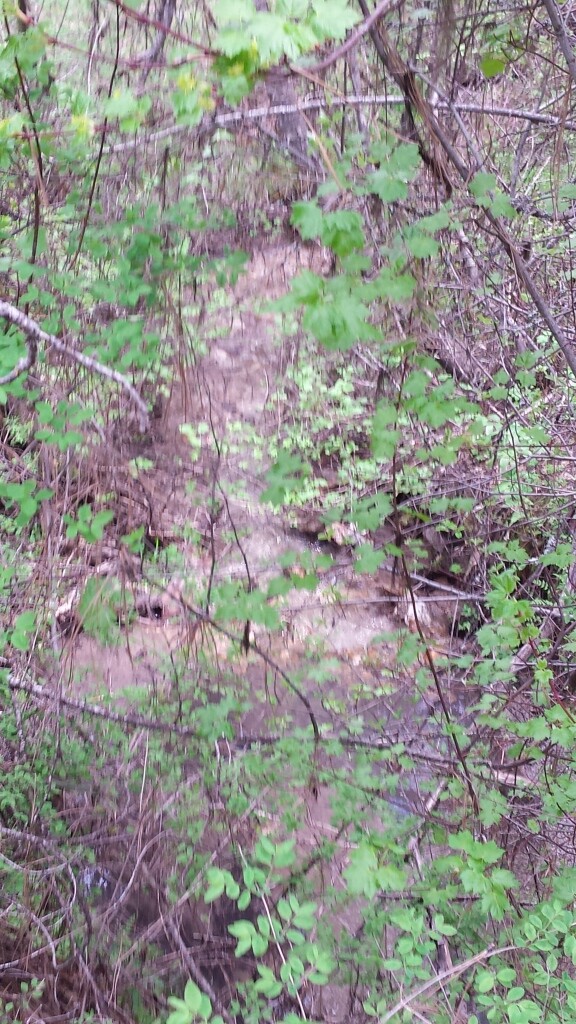
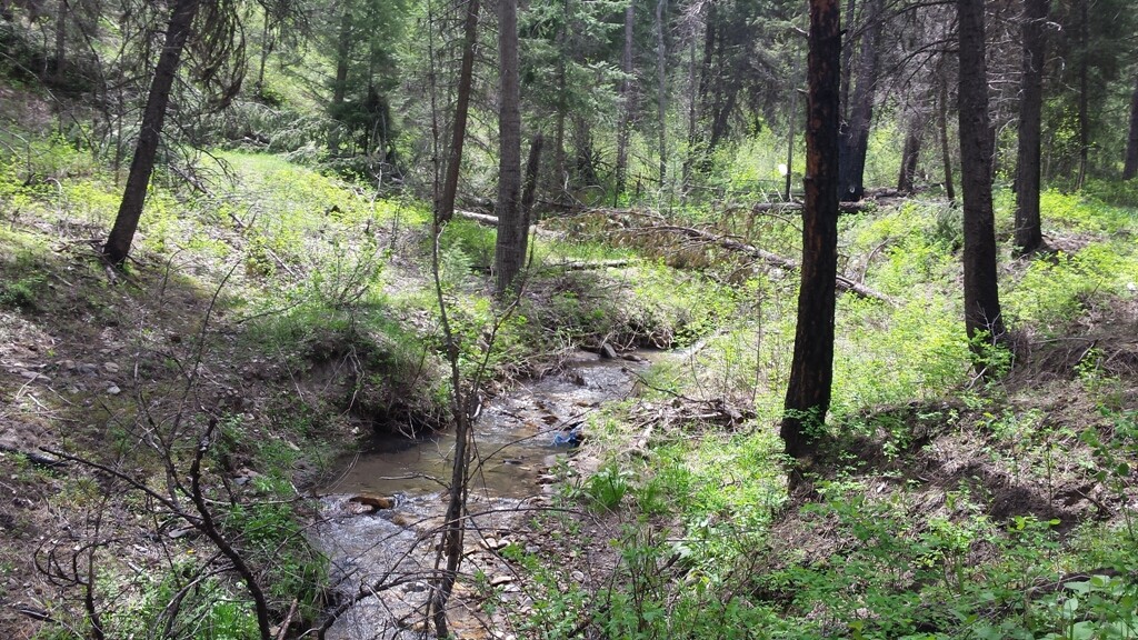
Wash Creek Sold
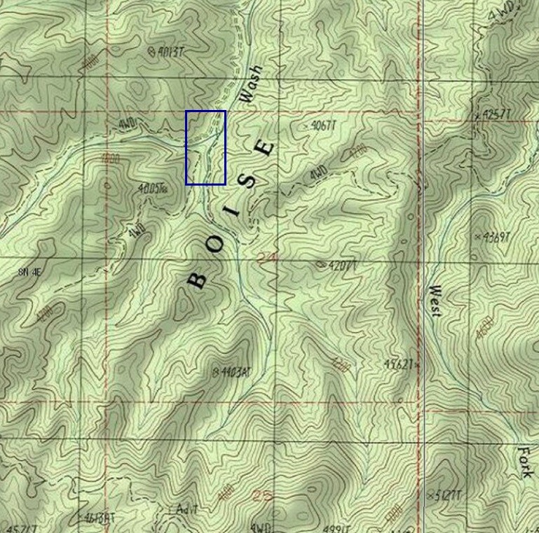
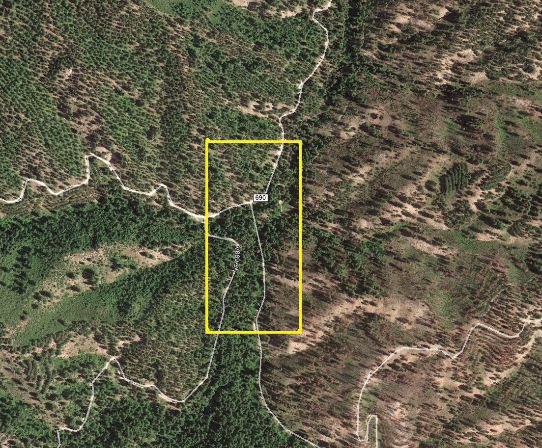
- Acreage: 20 acre unpatented placer claim
- River footage: 1350 feet of Wash Creek
- Location: Boise County, Township 8N, Range 4E, Section 24 NW 1/4
- Mining claim serial #: ID106727262
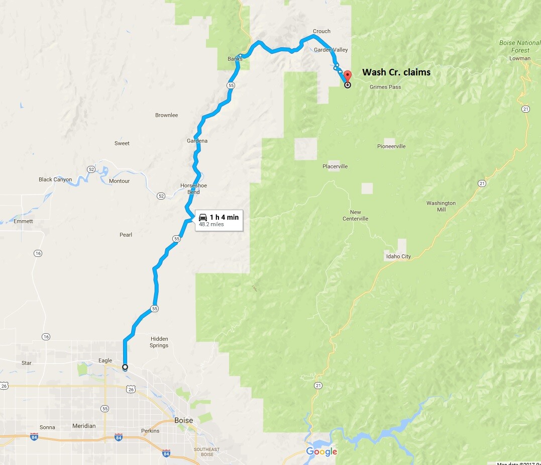
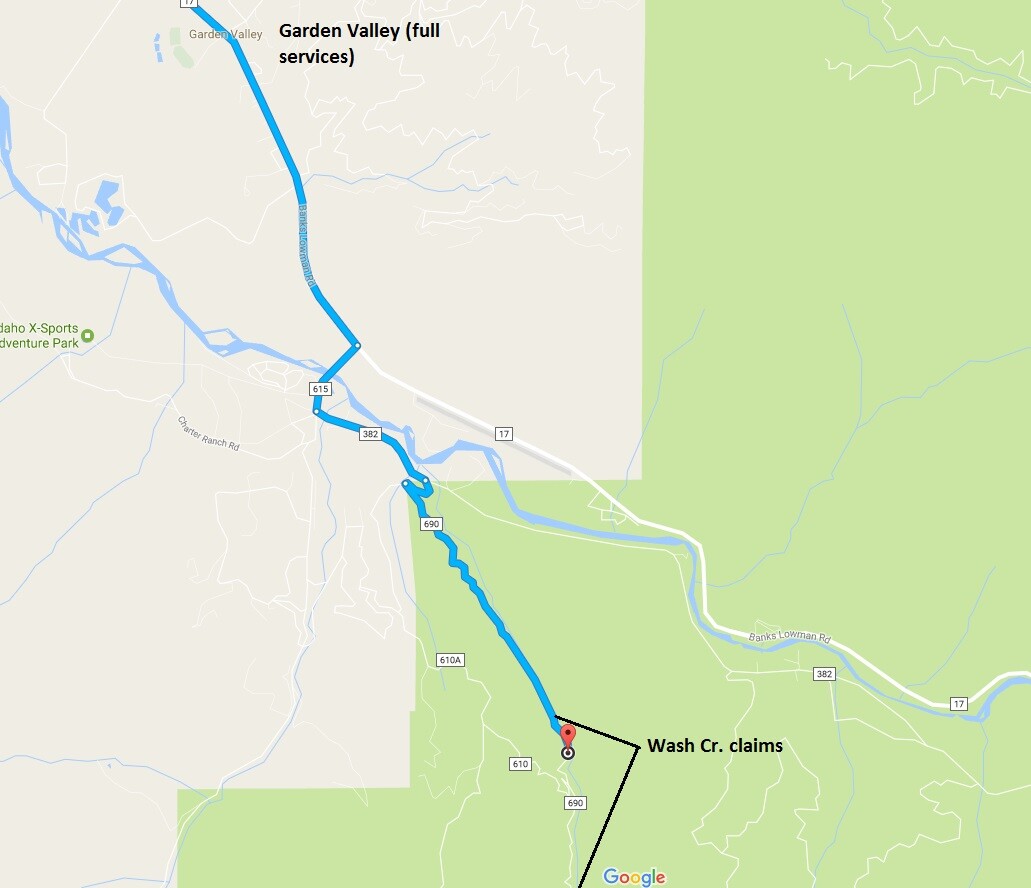
Map to Claim
Coordinates
Marker Latitude & Longitude
NW 44.02331’N, -115.93383’W
NE 44.02331’N, -115.93134’W
SE 44.01961’N, -115.93134’W
SW 44.01961’N, -115.93383’W
Marker Degrees, Minutes, Seconds
NW 44°01’23.9160″N, -115°56’01.7880″W
NE 44°01’23.9160″N, -115°55’52.8240″W
SE 44°01’10.5960″N, -115°55’52.8240″W
SW 44°01’10.5960″N, -115°56’01.7880″W
Maps
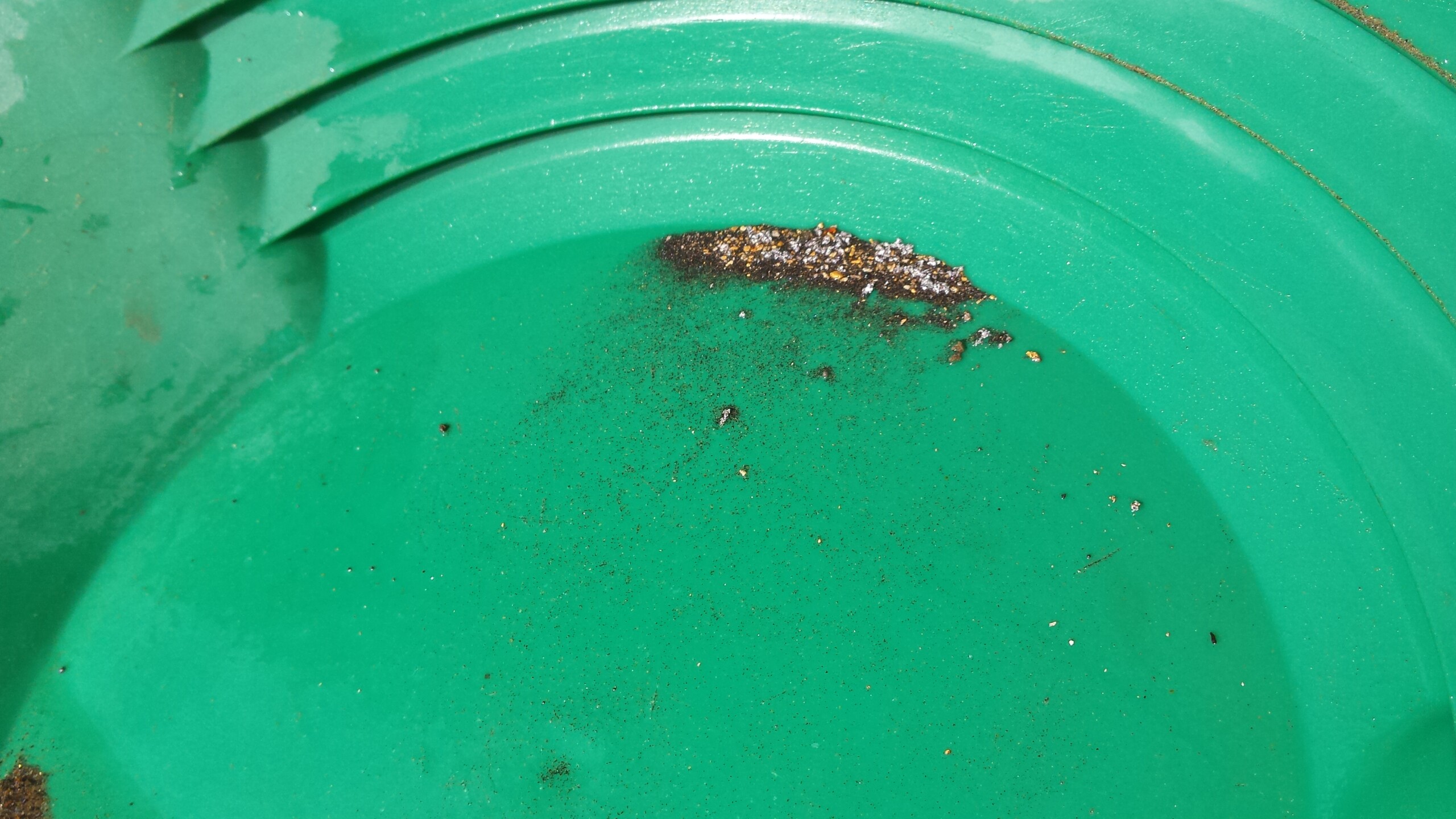
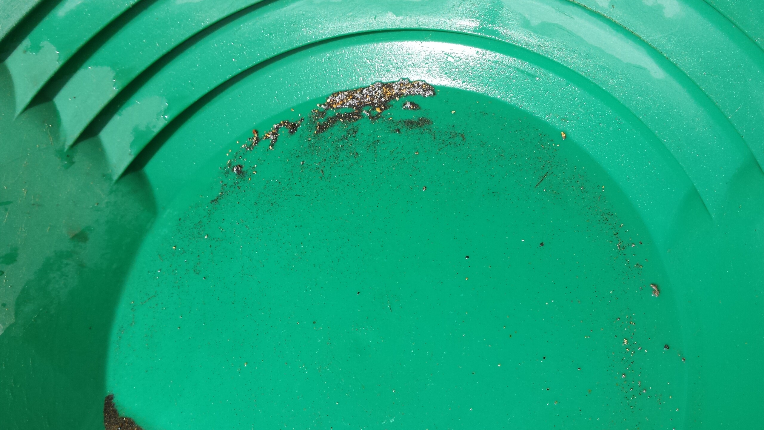
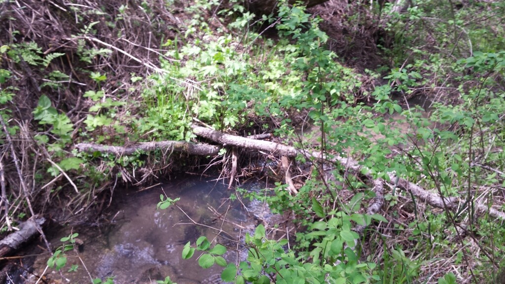
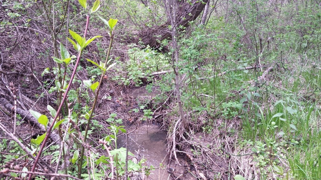
Images
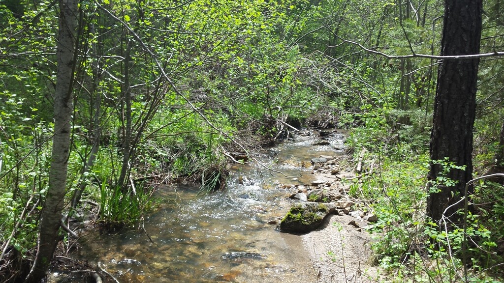
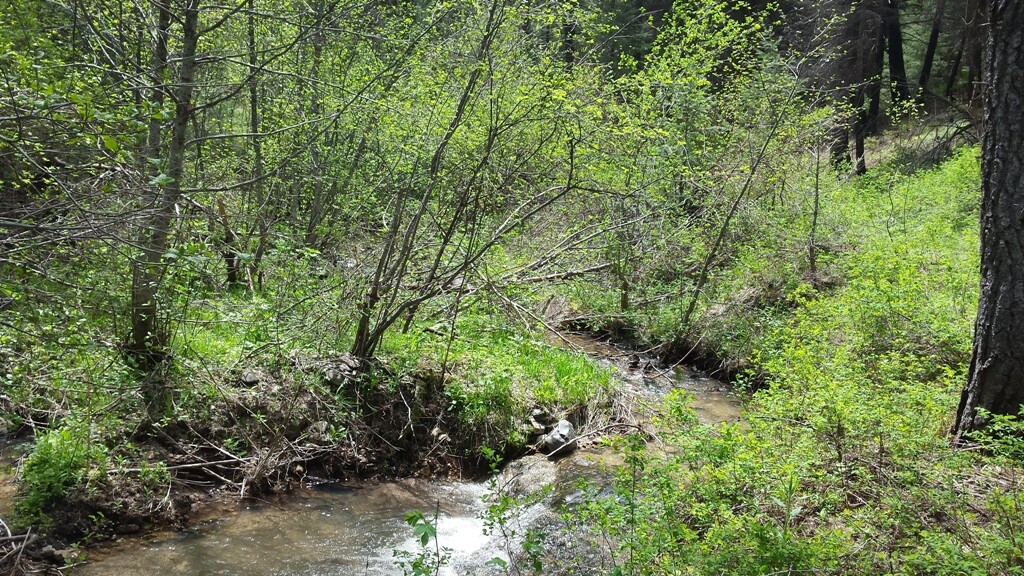
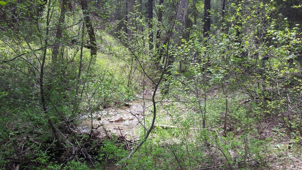
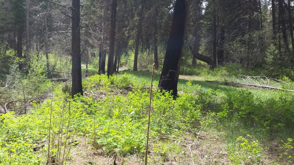
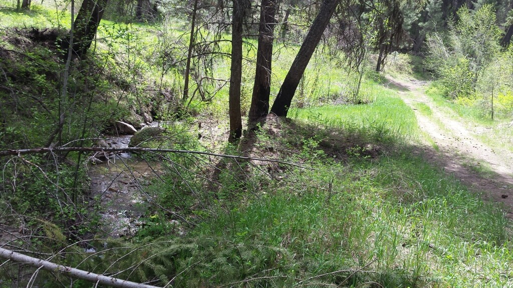
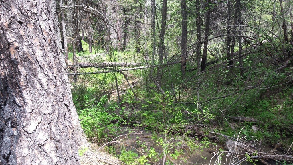
Overview
Driving Directions from Boise: Take HWY 55 (from State Street aka HWY 44), north out of Boise towards McCall. You will stay on HWY 55 for approximately 42 miles, and make a right onto HWY 17 at Banks (heading towards Garden Valley/Lowman). Continue on HWY 17 for approximately 11.5 miles (about a mile past Garden Valley), turning right (south) on the Meadow Creek Rd. (NF615 that heads to Placerville). Stay on this for only a ¼ mile (just past the bridge over the Payette River), and make a left (east) onto South Fork Road and stay on this road for 0.6 miles. You will right (south) onto NF-690, and stay on this road for about 3.2 miles until you reach the mining claim. The claim is marked on the north and south boundaries along the road (on the creek side).