Edna Creek Claims
Overview
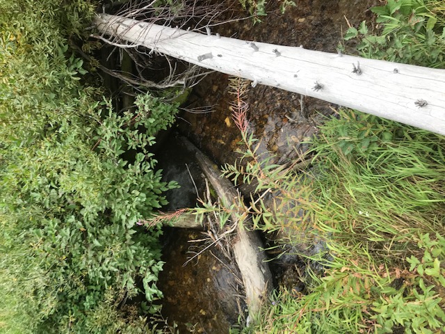
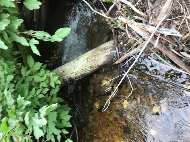
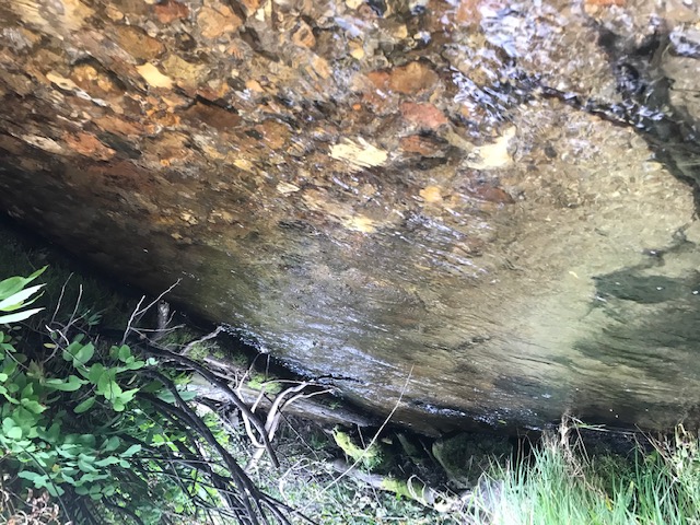
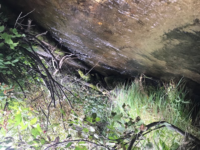
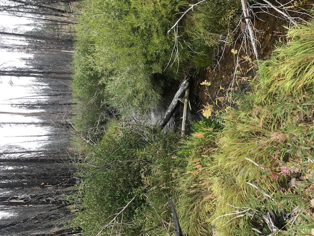
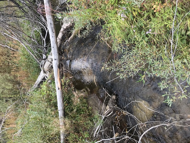
You may have seen other recent postings on Edna Creek, yes, this is a very well-known area for prospecting and mining in the Boise Basin above Idaho City. These claims are positioned below (downstream) of the Edna lode mine (how this drainage got its name) and where the ore was processed at the mill. Some of these have incredible camping areas “on” the claim, or another option is that these claims are short distance from the Edna Creek Campground. These claims are a short 30 minute drive from historic Idaho City (with full services), with a well maintained Forest Service road accessing the length of the mining claim, for easy access. From the rich history of this area (including abutting mining claims the extent of this drainage), and having all of the outdoors appeal this area has to offer, this is indeed a great prospector’s dream site. See our notes under “Crooked River” about the glacial activity and deposits, as this can even be found along the hillsides “on” these claims, giving all kinds of avenues to prospect and explore.
Edna’s Destiny
Sold
- Acreage: 10 acre unpatented placer claim
- River footage: 800’ of Edna Creek
- Location: Boise County, Township 7N, Range 7E, Sec. 10, SE ¼
- Mining claim serial #: IMC231988
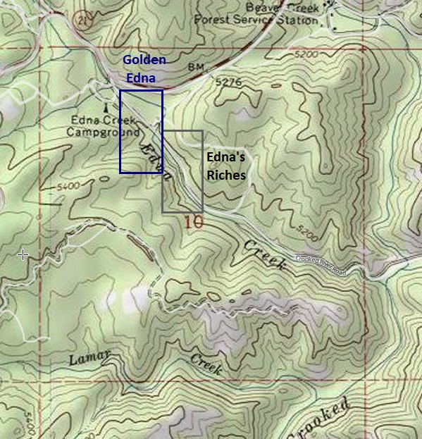
Map to Claim
Coordinates
Marker Degrees, Minutes, Seconds
NW 43°57’28.6200″N, -115°36’51.2640″W
NE 43°57’28.6200″N, -115°36’41.9760″W
SE 43°57’21.8160″N, -115°36’41.9760″W
SW 43°57’21.8160″N, -115°36’51.2640″W
Marker Latitude & Longitude
NW 43.95795’N, -115.61651’W
NE 43.95795’N, -115.61424’W
SE 43.95606’N, -115.61424’W
SW 43.95606’N, -115.61651’W
Aerial & Topo Images


Images


This claim is situated about ½ mile from HWY 21 continuing down the well graded NF 384 forest service road.
Edna Placer
Sold
- Acreage: 20 acre unpatented placer claim
- River footage: 1400’ of Edna Creek
- Location: Boise County, Township 7N, Range 7E, Sec. 10, SE ¼
- Mining claim serial #: IMC231989
Map to Claim
Coordinates
Marker Degrees, Minutes, Seconds
NW 43°57’21.8160″N, -115°36’41.9760″W
NE 43°57’21.8160″N, -115°36’24.3720″W
SE 43°57’14.9400″N, -115°36’24.3720″W
SW 43°57’14.9400″N, -115°36’41.9760″W
Marker Latitude & Longitude
NW 43.95606’N, -115.61166’W
NE 43.95606’N, -115.60677’W
SE 43.95415’N, -115.60677’W
SW 43.95415’N, -115.61166’W
Aerial & Topo Images


Images


This claim is situated about 0.7 of a mile from HWY 21 continuing down the well graded NF 384 forest service road.
Golden Edna
Sold
- Acreage: 20 acre unpatented placer claim
- River footage: 1350’ of Edna Creek (2 camping areas on claim)
- Location: Boise County, Township 7N, Range 7E, Sec. 10, NW ¼
- Mining claim serial #: IMC231984
Map to Claim
Coordinates
Marker Degrees, Minutes, Seconds
NW 43°57’47.3040″N, -115°37’17.2200″W
NE 43°57’47.3040″N, -115°37’08.1120″W
SE 43°57’34.8480″N, -115°37’08.1120″W
SW 43°57’34.8480″N, -115°37’17.2200″W
Marker Latitude & Longitude
NW 43.96314’N, -115.62145’W
NE 43.96314’N, -115.61892’W
SE 43.95968’N, -115.61892’W
SW 43.95968’N, -115.62145’W
Aerial & Topo Images

Images


Edna’s Riches
Sold
- Acreage: 20 acre unpatented placer claim
- River footage: 1250’ of Edna Creek
- Location: Boise County, Township 7N, Range 7E, Sec. 10, NW ¼
- Mining claim serial #: IMC231985
Map to Claim
Coordinates
Marker Degrees, Minutes, Seconds
NW 43°57’41.4000″N, -115°37’08.1120″W
NE 43°57’41.4000″N, -115°36’59.4360″W
SE 43°57’28.6200″N, -115°36’59.4360″W
SW 43°57’28.6200″N, -115°37’08.1120″W
Marker Latitude & Longitude
NW 43.96150’N, -115.61892’W
NE 43.96150’N, -115.61651’W
SE 43.95795’N, -115.61651’W
SW 43.95795’N, -115.61892’W
Aerial & Topo Images


Images


Show me the Gold
Driving Directions: from Boise, travel north on HWY 21 to Idaho City (approximately 34 miles from I-84). Continue on HWY 21 for an additional 18 miles past Idaho City and turn right (south) onto NF 384 road, (at the Edna Creek Campground). The mining claims starts approximately 350 feet after turning onto NF 384 and further down this well graded forest service road (accessible even with a car). Signs have been posted along NF 384 (typically on the creek-side), identifying where the claims start and end, and as always the corner markers have been placed.
