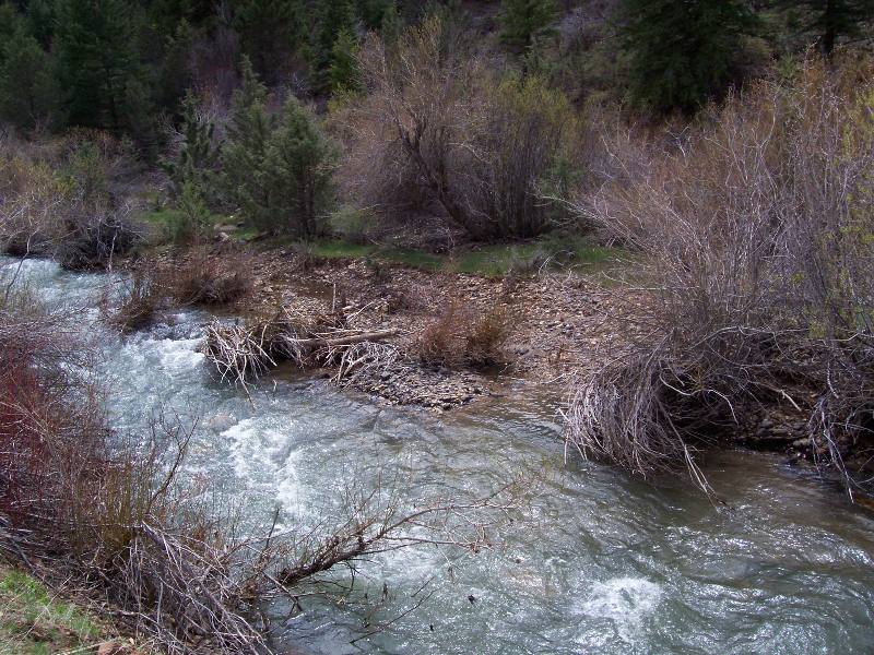
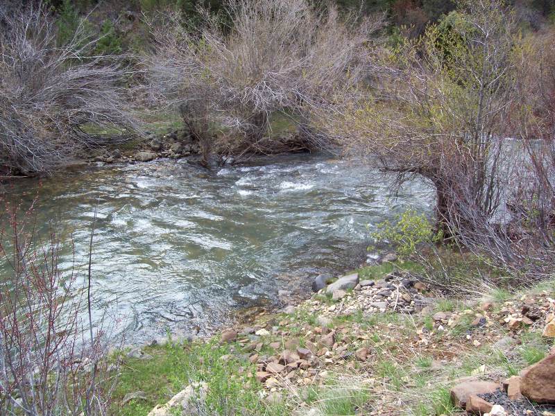
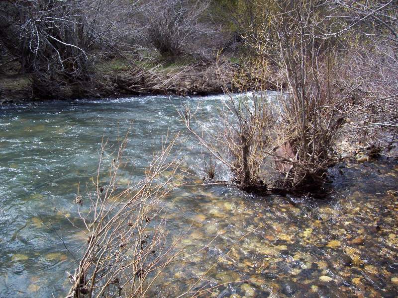
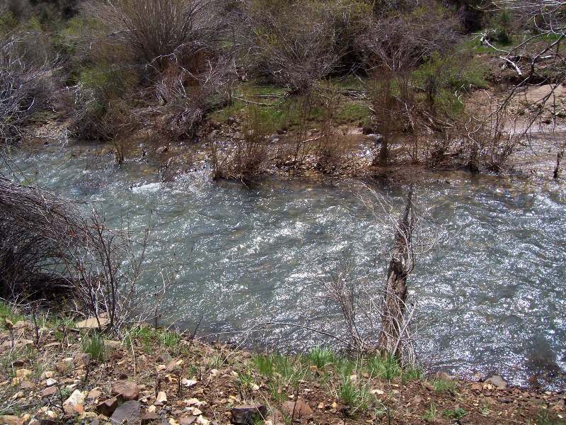
DeLamar Gold 1
- Acreage: 20 acres
- River footage: 950’ Jordan Creek
- Placer/lode: Placer
- Location: Township 4S, Range 4W, Section 32, SW 1/4
- Mining claim serial #: IMC217212
Map to Claim
Coordinates
NW 43°01’35.5440″N, -116°50’48.9480″W
NE 43°01’35.5440″N, -116°50’31.0920″W
SE 43°01’28.9560″N, -116°50’31.0920″W
SW 43°01’28.9560″N, -116°50’48.9480″W
NW 43.0265400’N, -116.8469300’W
NE 43.0265400’N, -116.8419700’W
SE 43.0247100’N, -116.8419700’W
SW 43.0247100’N, -116.8469300’W
Images


Request more Information What's Included with Purchase FAQs