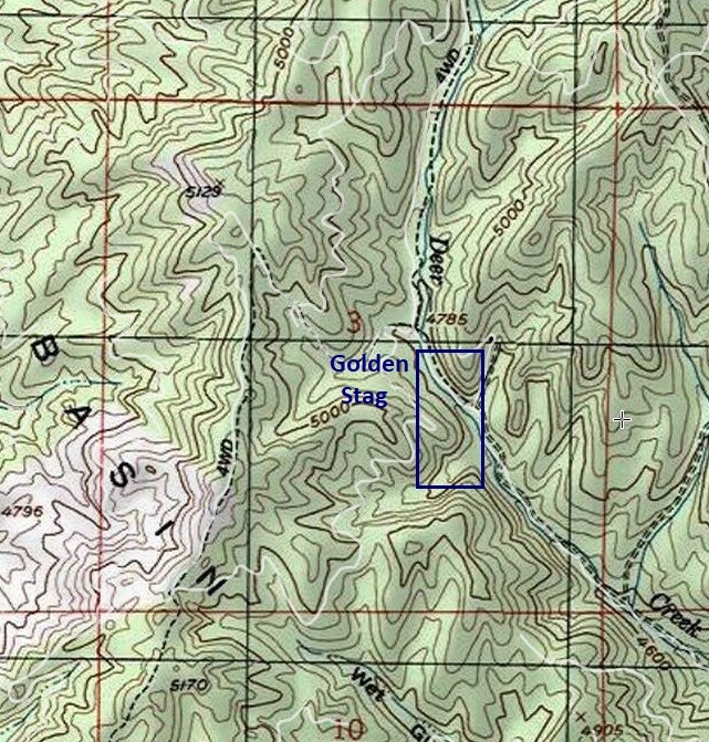
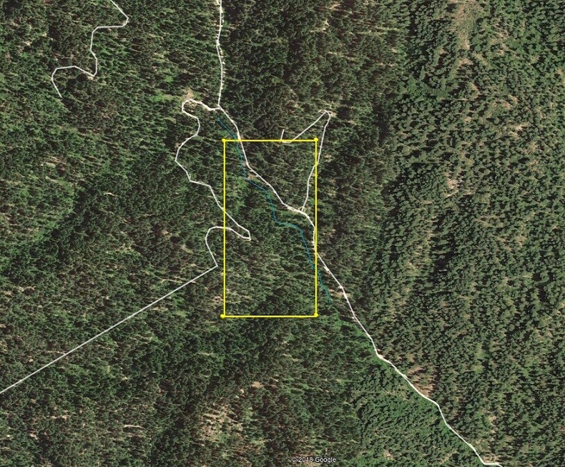
Deer Creek Claims
Idaho City Sold
Overview
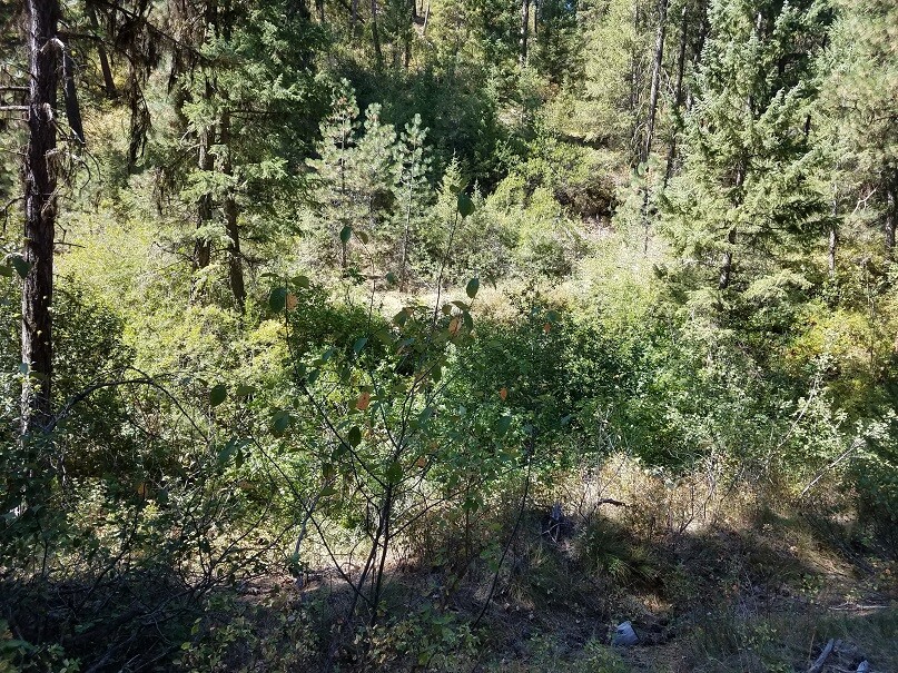
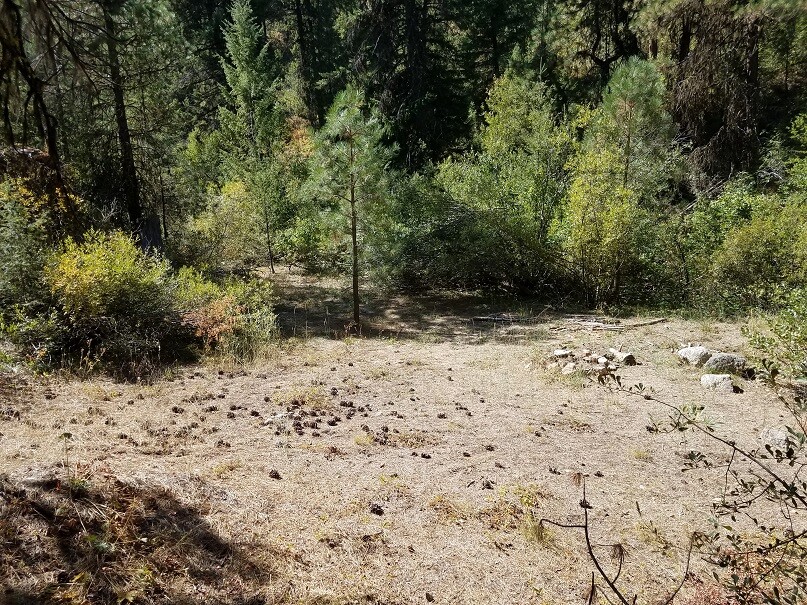
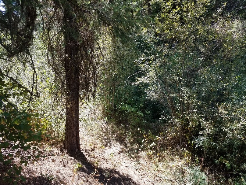
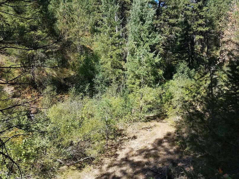
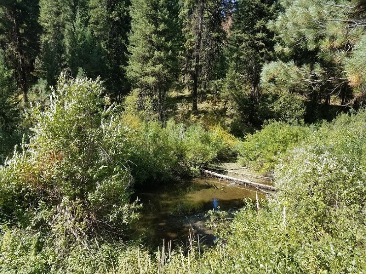
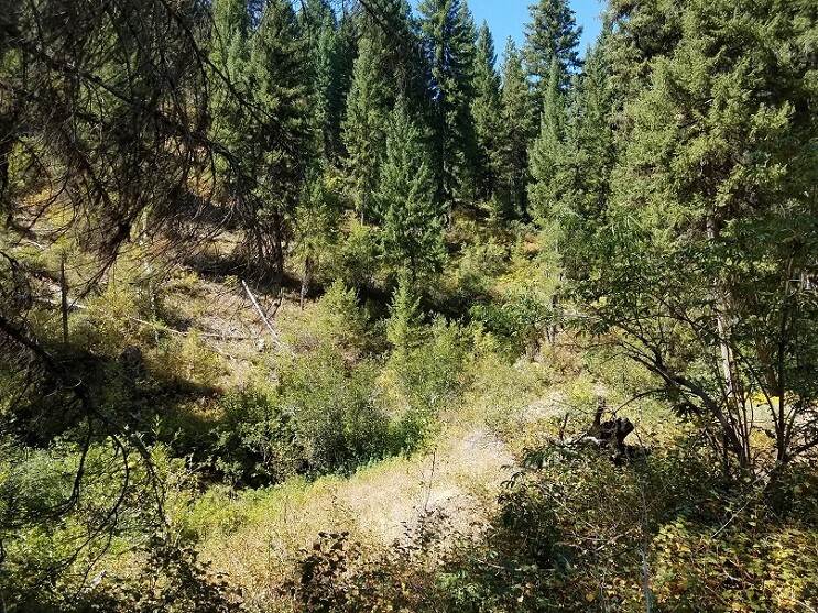
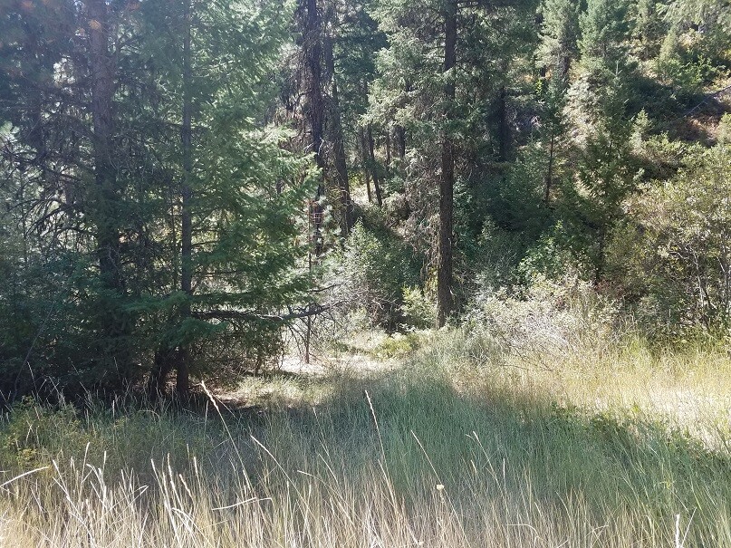
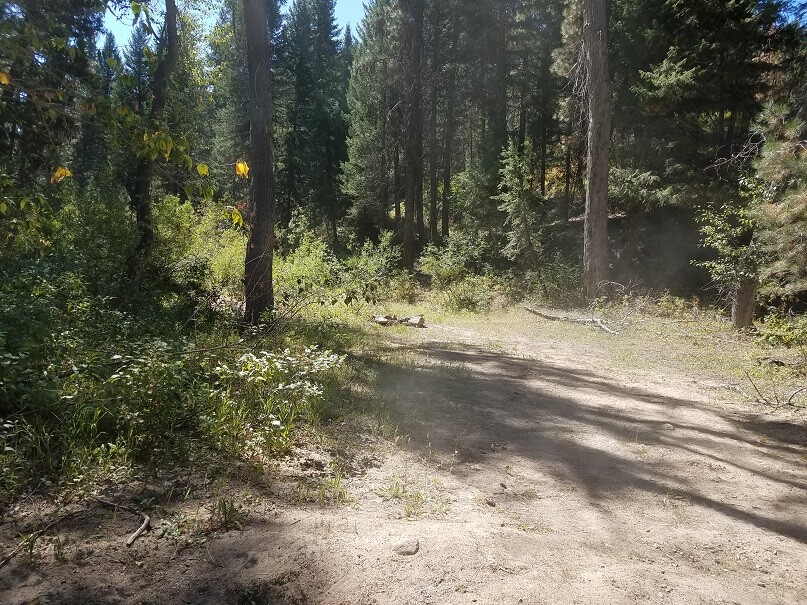
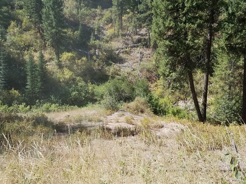
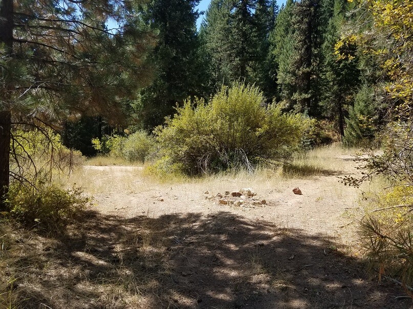
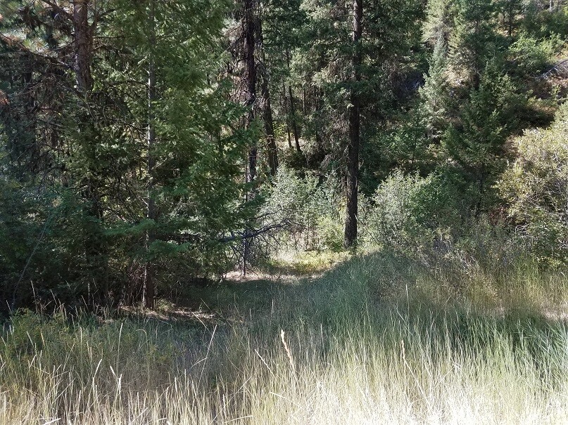
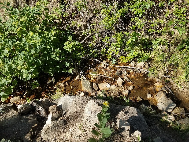
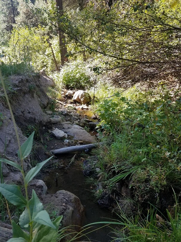
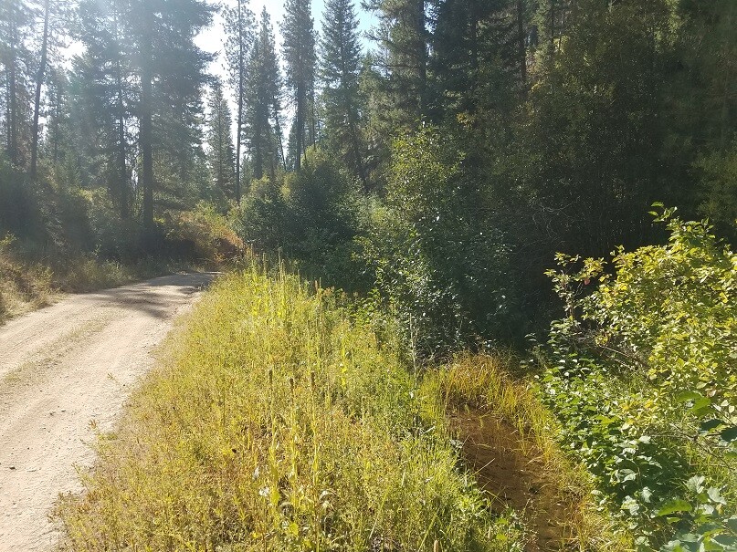
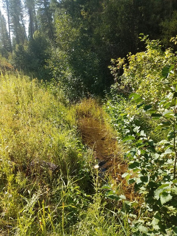
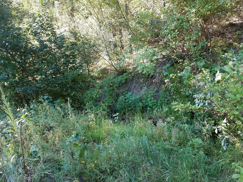
I’m often asked what inventory of claim that is dredgeable along with ones in the Idaho City gold bearing basin… Deer Creek is one of the prominent gold bearing drainages of well-known Elk Creek & Mores Creek tributaries. With as popular as this area is, not much really needs to be mentioned, as it does have a rich history…and the color in this creek goes right along with it. These claims are situated just 4 miles out of Idaho City on a well maintained Forest Service Road, so good access, and easy to get into, with close amenities (full services in Idaho City). Deer Creek isn’t a huge drainage, but can sustain 2 & ½” or 3” dredge easily in the spring and early summer…or bring out your high-banker combo to work year-round. Another excellent perk, is there are a few camping areas “on” the claims (two on Golden Stag & at least two good areas to set up on Karat King). We are willing to sell these individually or as a package deal.
Bundle price of $5,750 for all 3 claims, $4,750 for two claims, or individual prices listed below.
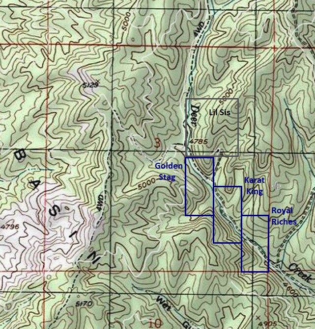
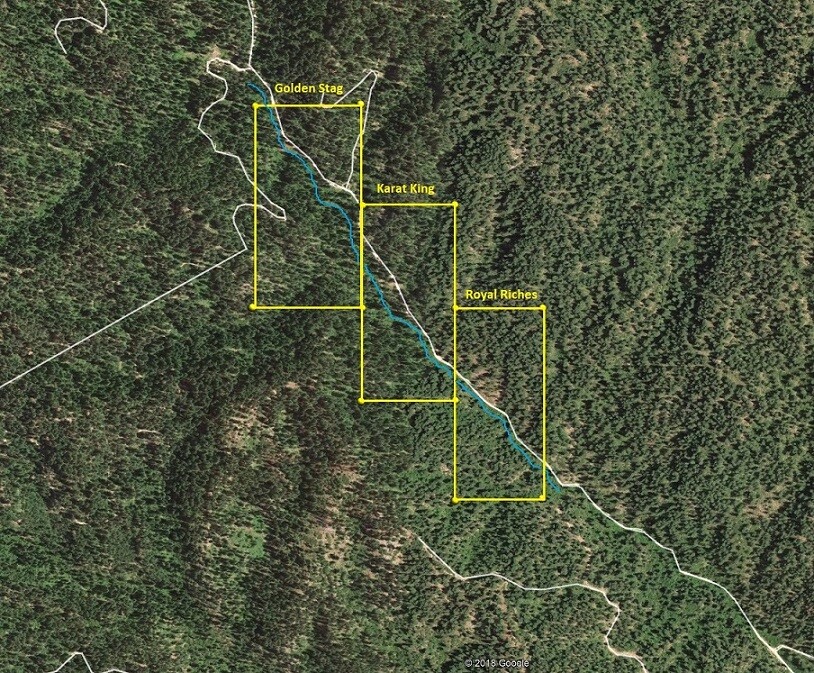
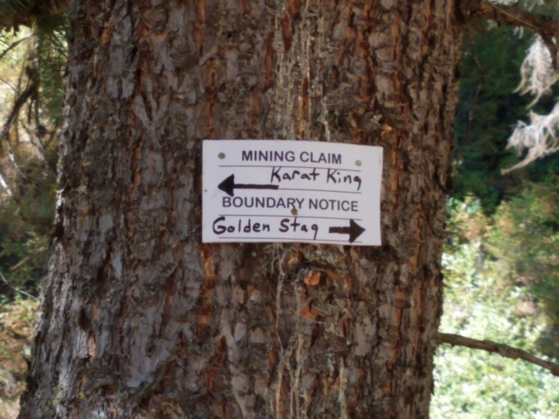
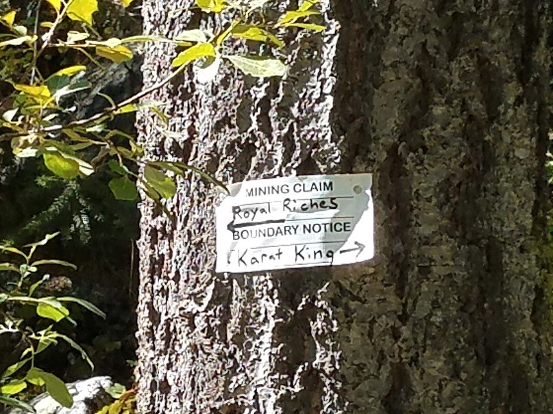
Karat King
Sold
Price: $2,250
- Acreage: 20 acre unpatented placer claim
- River footage: 1000’ Deer Creek - Camping areas on claim
- Location: Boise County, Township 6N, Range 5E, Sec.03, SE ¼
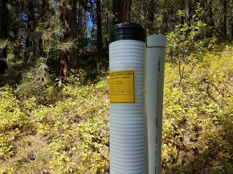
- Mining claim serial #: ID106735119
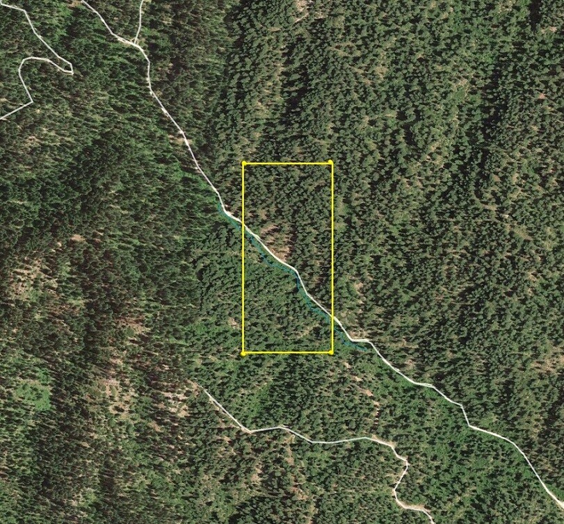
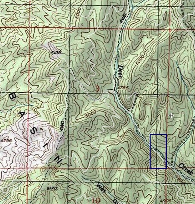
Map to Claim
Coordinates
Marker Latitude & Longitude
NW 43.88513’N, -115.84568’W
NE 43.88513’N, -115.84332’W
SE 43.88155’N, -115.84332’W
SW 43.88155’N, -115.84568’W
Marker Degrees, Minutes, Seconds
NW 43°53’06.4680″N, -115°50’44.4480″W
NE 43°53’06.4680″N, -115°50’35.9520″W
SE 43°52’53.5800″N, -115°50’35.9520″W
SW 43°52’53.5800″N, -115°50’44.4480″W
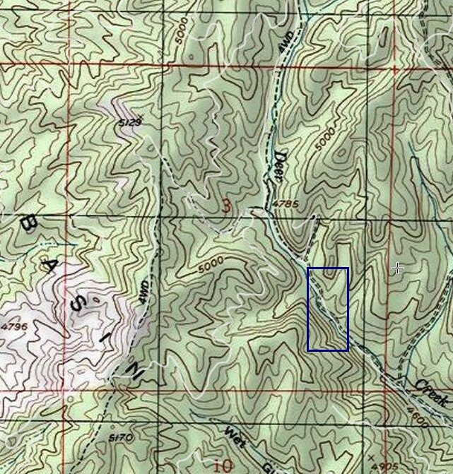
Aerial & Topo Images
Images

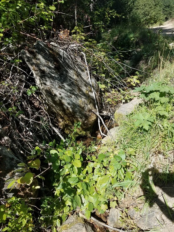
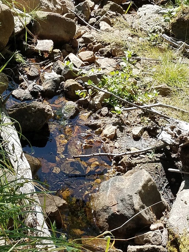

Golden Stag
Sold
Price: $2,500
- Acreage: 20 acre unpatented placer claim
- River footage: 1350’ of Deer Creek - Camping areas on claim
- Unpatented/patented: unpatented
- Location: Boise County, Township 6N, Range 5E, Sec. 03, NE ¼
- Mining claim serial #: ID106735120
Map to Claim
Coordinates
Marker Latitude & Longitude
NW 43.88693’N, -115.84838’W
NE 43.88693’N, -115.84568’W
SE 43.88325’N, -115.84568’W
SW 43.88325’N, -115.84838’W
Marker Degrees, Minutes, Seconds
NW 43°53’12.9480″N, -115°50’54.1680″W
NE 43°53’12.9480″N, -115°50’44.4480″W
SE 43°52’59.7000″N, -115°50’44.4480″W
SW 43°52’59.7000″N, -115°50’54.1680″W
Aerial & Topo Images
Images
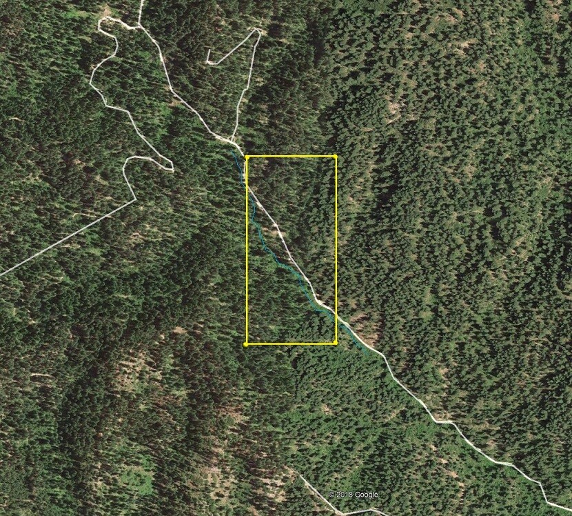
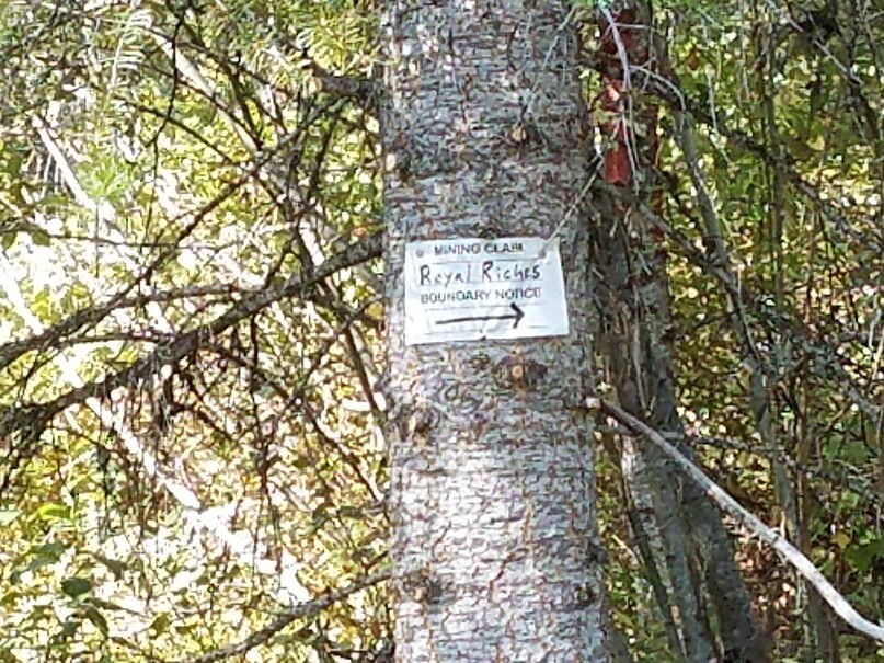
Royal Riches
Sold
- Acreage: 20 acre unpatented placer claim
- River footage: 1000’ Deer Creek
- Unpatented/patented: unpatented
- Location: Boise County, Township 6N, Range 5E, Sec.03, SE ¼
- Mining claim serial #: ID106735118
Map to Claim
Coordinates
NW 43.88325’N, -115.84332’W
NE 43.88325’N, -115.84109’W
SE 43.87972’N, -115.84109’W
SW 43.87972’N, -115.84332’W
NW 43°52’59.7000″N, -115°50’35.9520″W
NE 43°52’59.7000″N, -115°50’27.9240″W
SE 43°52’46.9920″N, -115°50’27.9240″W
SW 43°52’46.9920″N, -115°50’35.9520″W
Aerial & Topo Images
Images
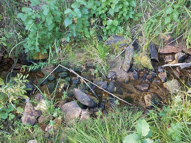
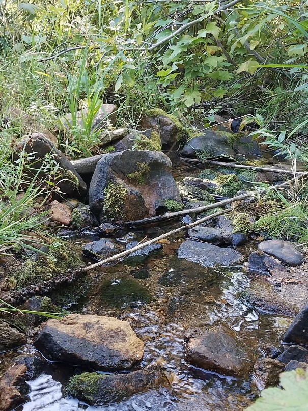
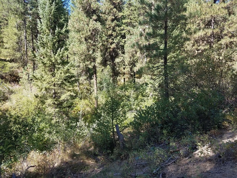
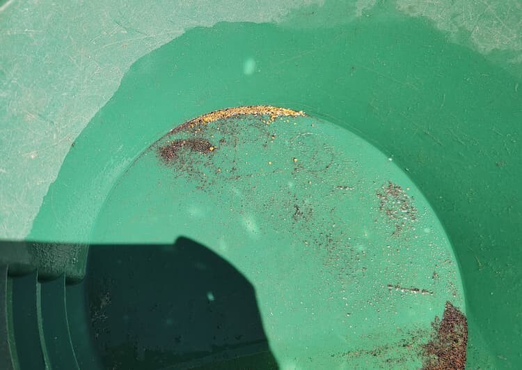
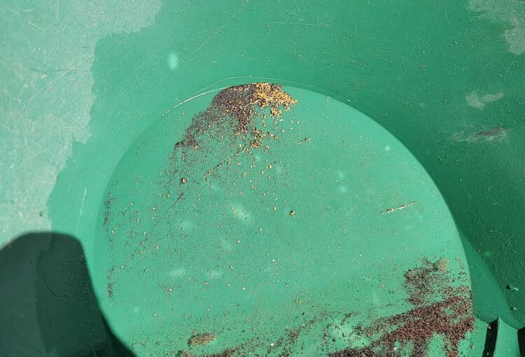
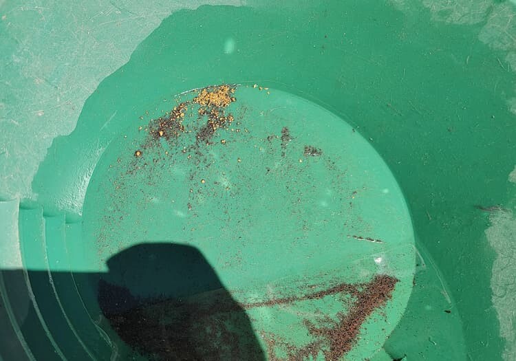
Show Me The Gold
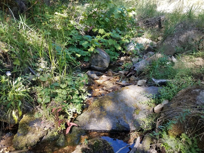
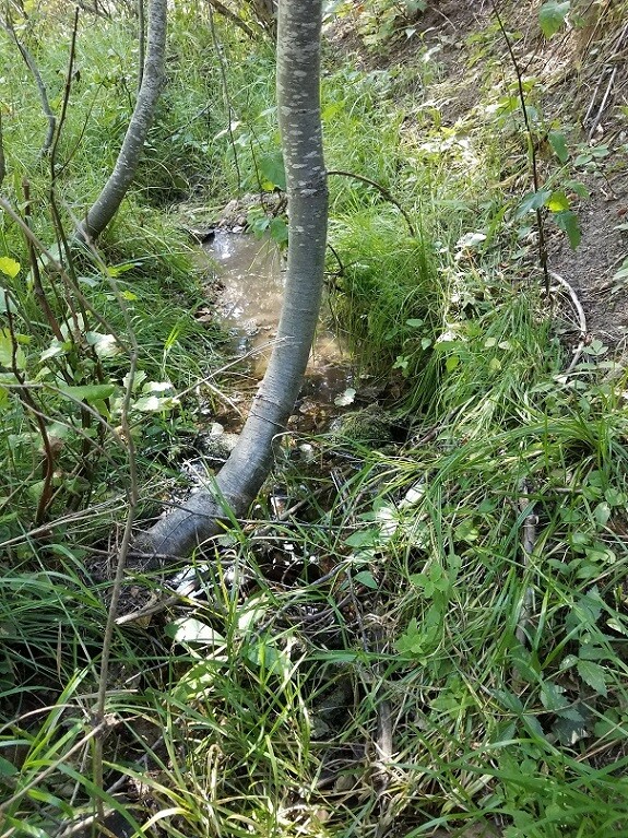
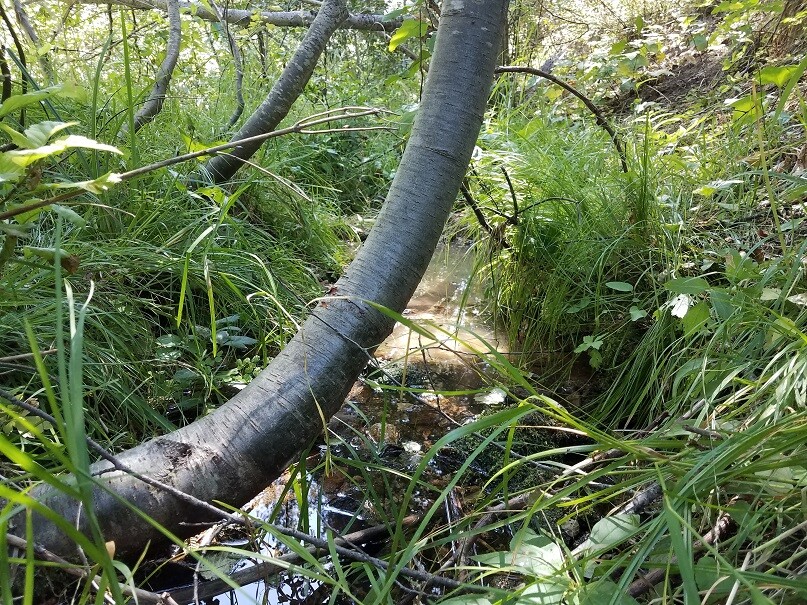
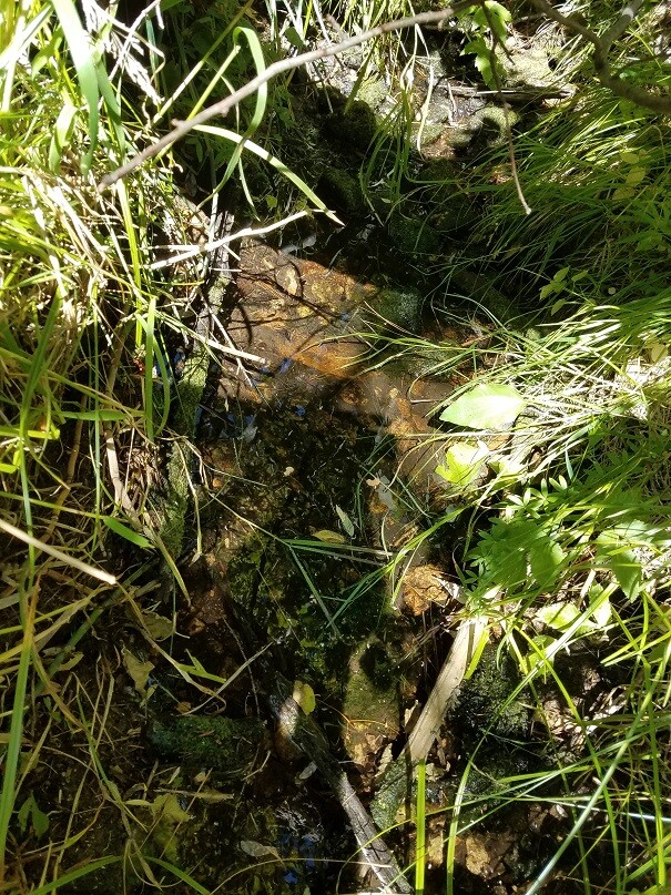
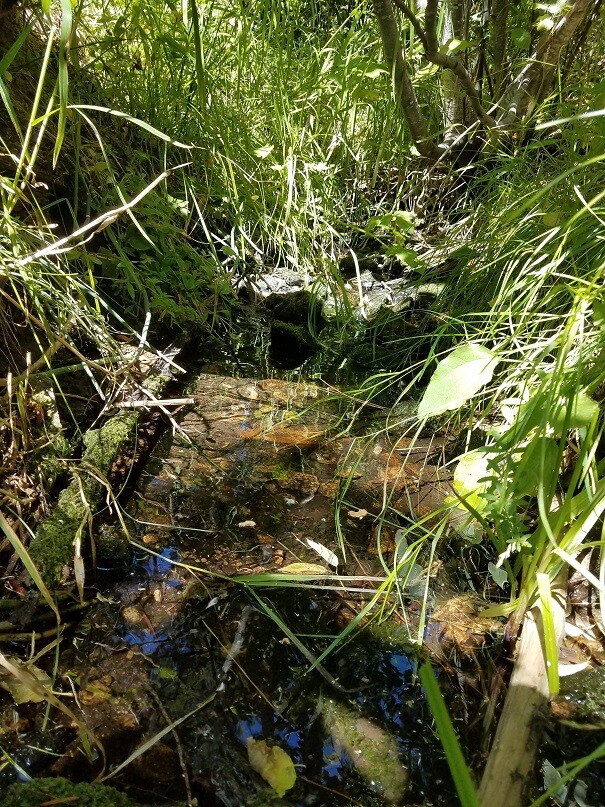
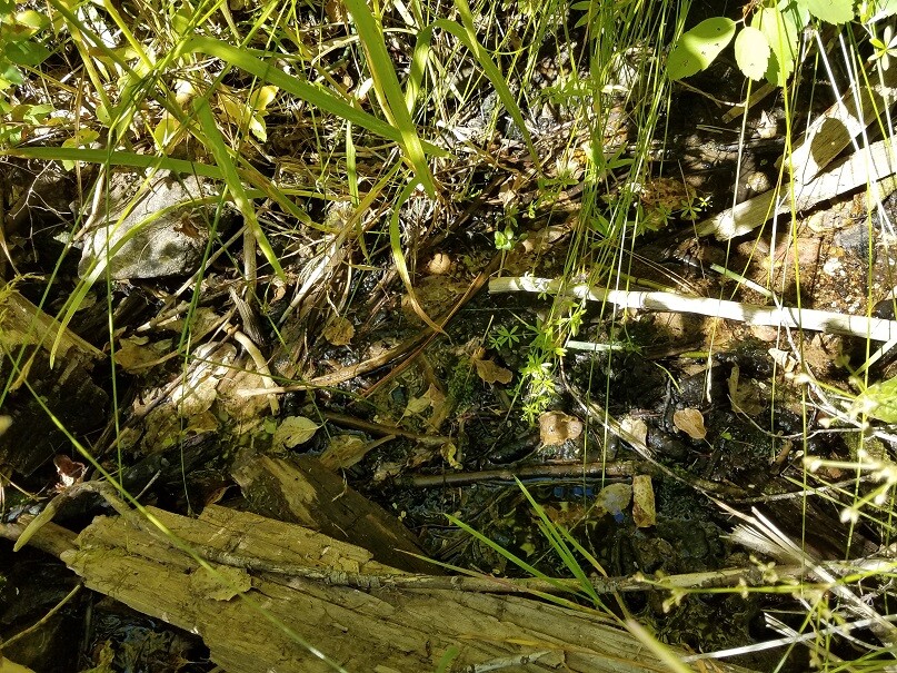
As you can see from setting up with a high-banker in late summer, you will want to have a hole established in spring for adequate water to run for the year. On Golden Stag there is a larger pond to pull water for high-banking in case the creek drops. Due to experience (working various areas of Deer Cr for 30+ years and KNOWING its rich history), with these gold pics, I only ran the high-banker for about an hour to come up with these results (only getting down about 1.5’), deeper you get the quantity/yield of gold and size of pieces increases exponentially (same is true on ANY drainage with gold being one of the heaviest elements in the creek).
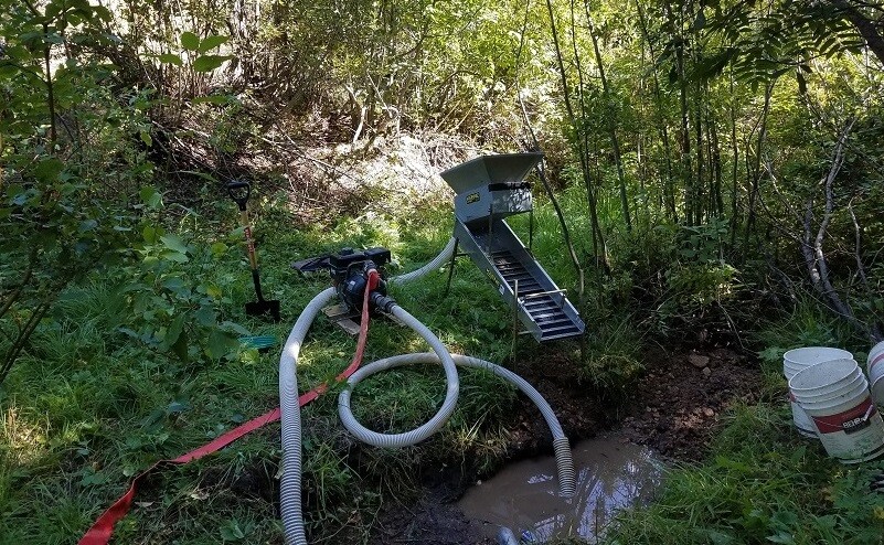
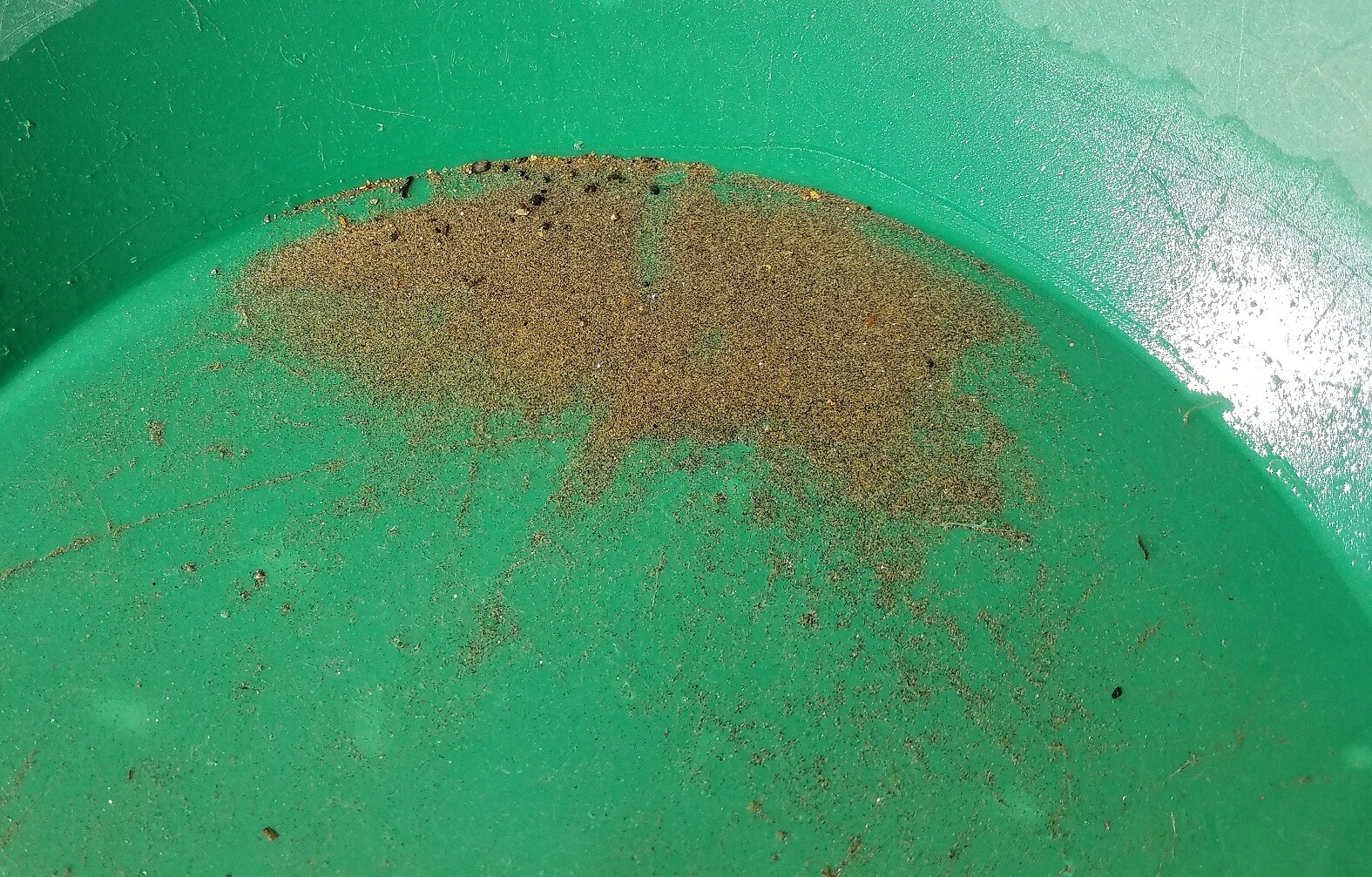
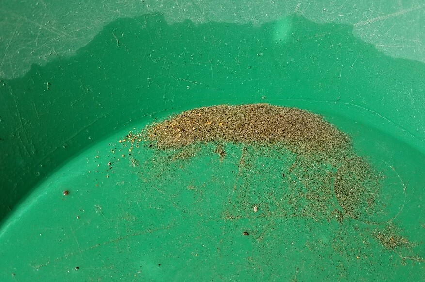
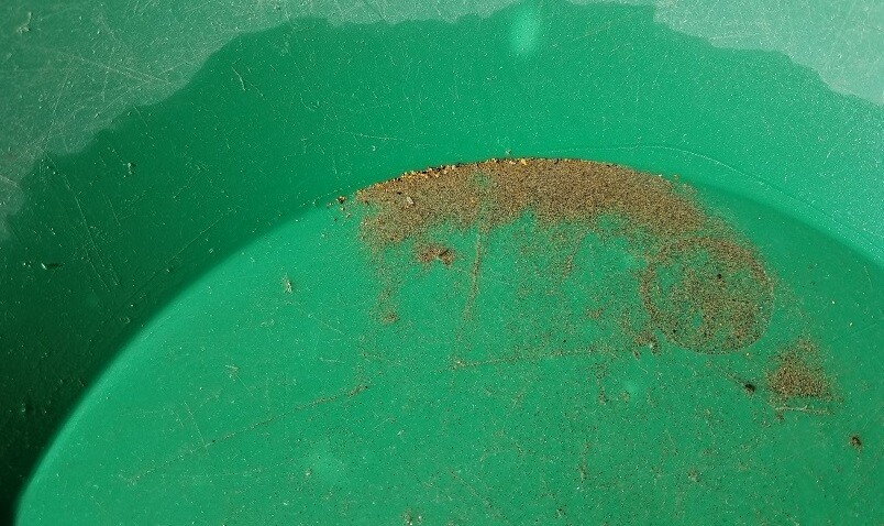
From recent 4 hour high-banking in 2025
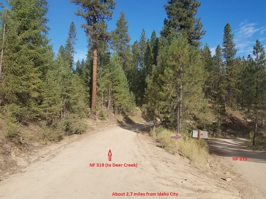
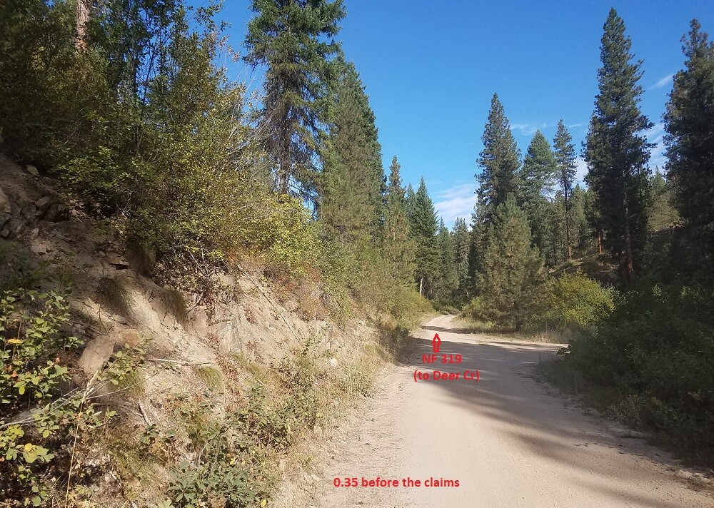
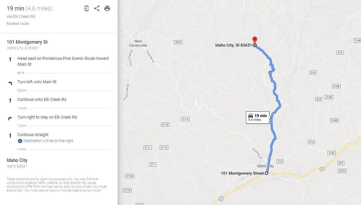
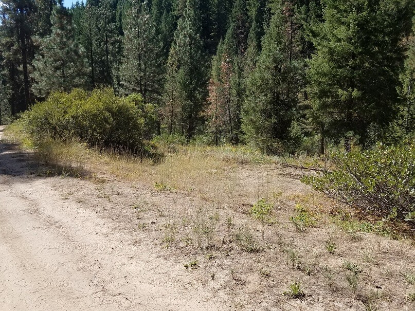
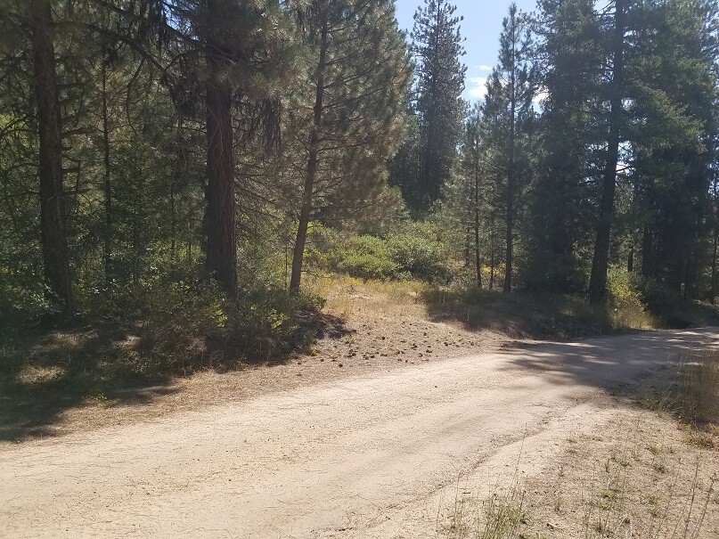
Driving Directions: The claims are located 4.3 miles outside the historic town of Idaho City. Driving directions to the claim: from Boise, travel north on HWY 21 to Idaho City (approximately 34 miles from I-84). Turn left (north) onto Main Street in Idaho City. Through the north end as you leave town, you will pass trailers and rustic places (lot of old equipment), with speed limit of 15, and private signs, just stay on the main road all the way through and keep following it straight. The name of the road changes to Elk Creek Road…which you will stay on for about 2.7 miles. You will come to a fork (NF 319 left and NF 379 right), take the fork on the left. There is also a sign at this junction that shows Deer Cr. to the left. In about one mile the main NF 319 road will continue up the Deer Cr. drainage or fork to the right, continue forward up the drainage for about a ½ mile until you reach the claims. The claims are marked on the creek side, next to the road.