Price: $2,750
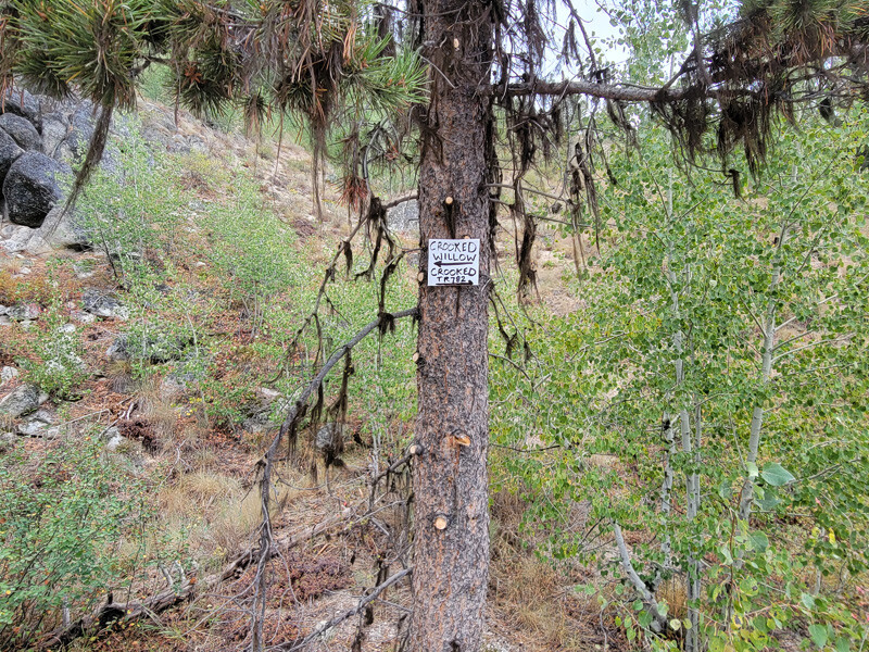
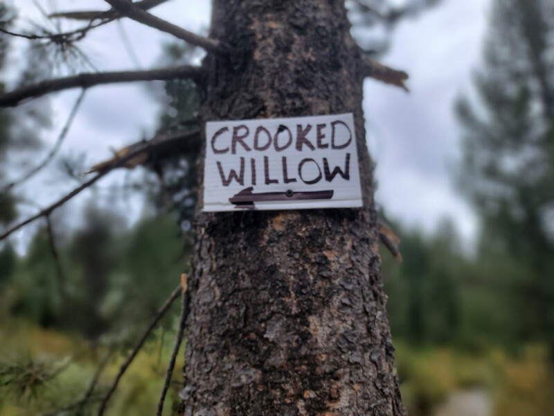
Sale PendingCrooked Willow
- Acreage: 20 acre unpatented placer claim
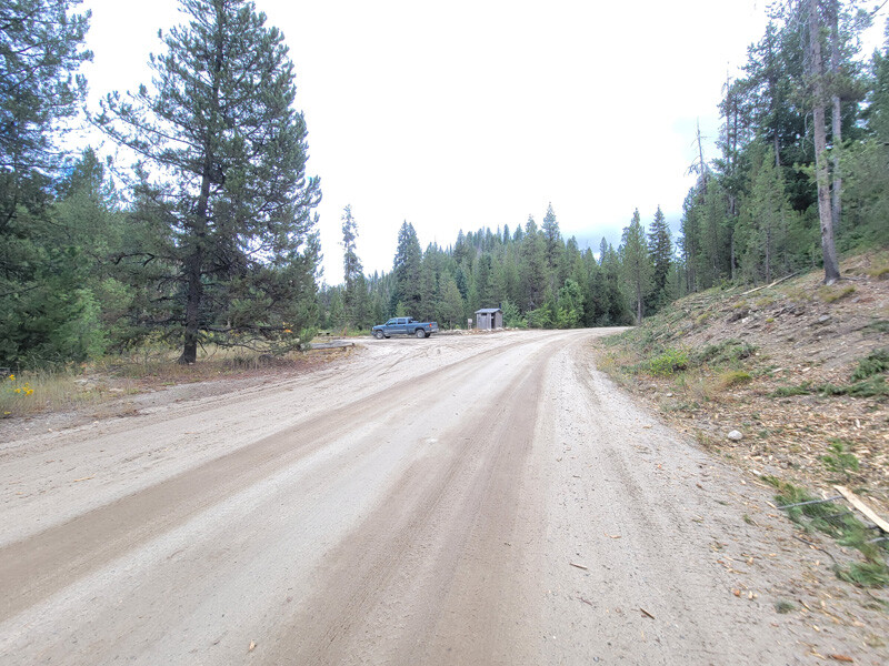
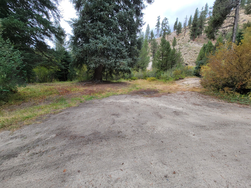
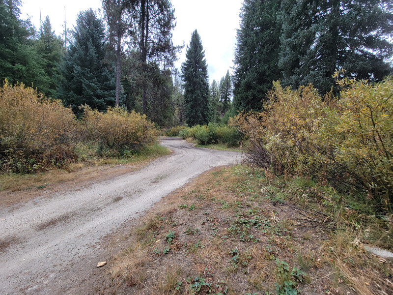
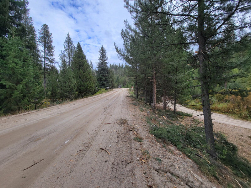
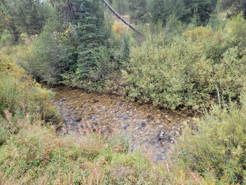
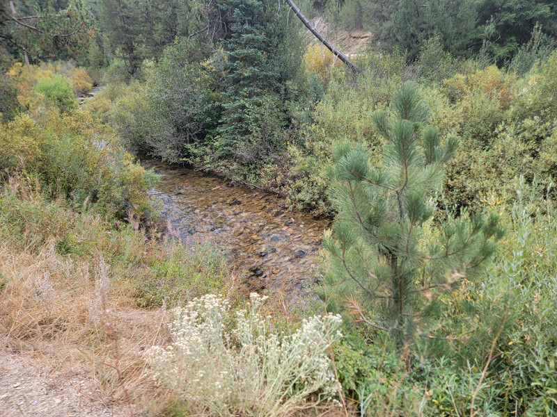
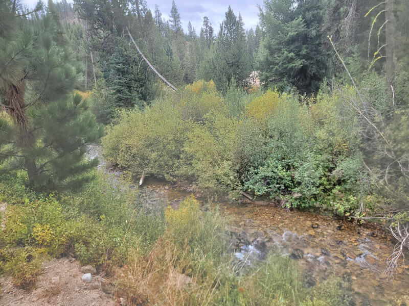
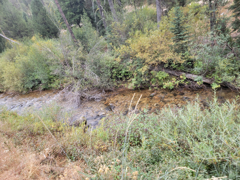
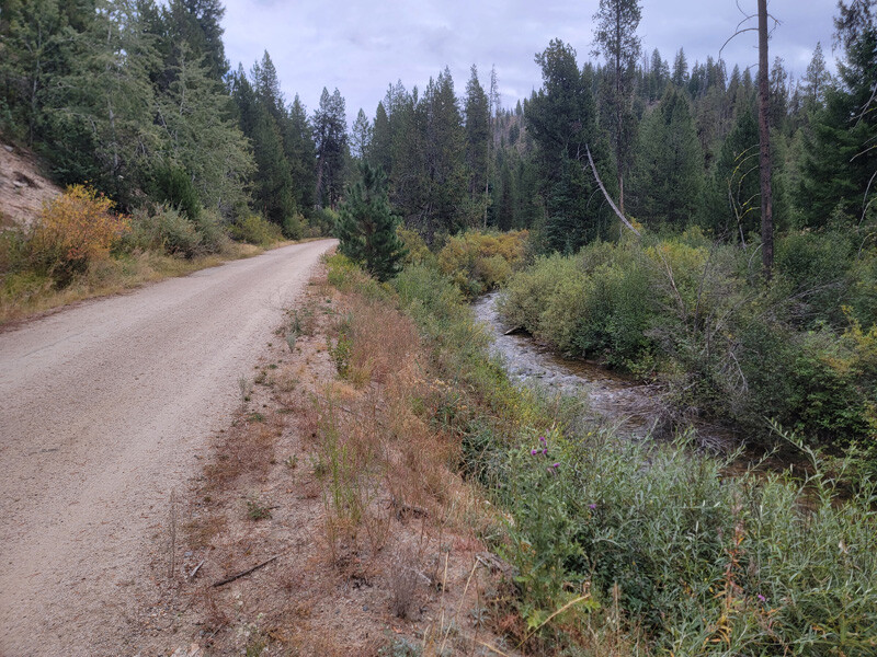
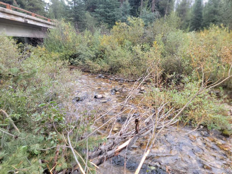
- River footage: 850‘ of the Crooked River & 300’ of Willow Creek - LARGE Camping area on claim & adjacent
- Location: Boise County, Township 7N, Range 8E, Sec. 08, NE ¼
- Mining claim serial #: ID106843605
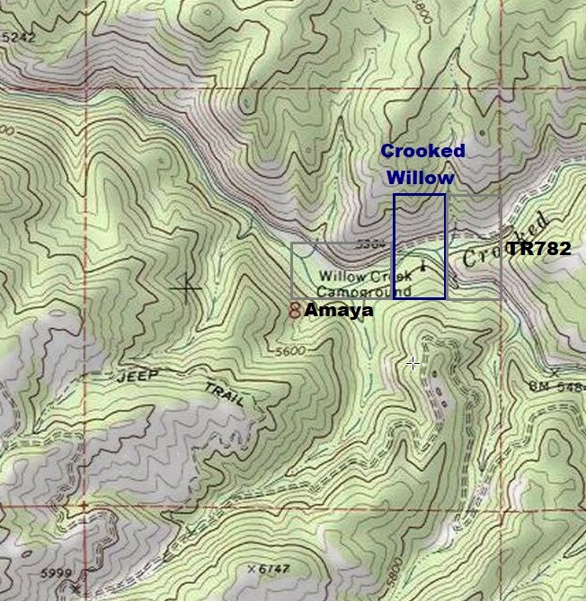
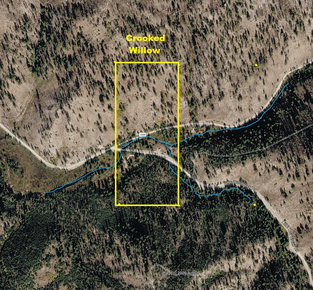
Map to Claim
Coordinates
Marker Degrees, Minutes, Seconds
NW 43°57’41.3280”N, -115°31’56.9280″W
NE 43°57’41.3280”N, -115°31’49.0800″W
SE 43°57’28.3320”N, -115°31’49.0800″W
SW 43°57’28.3320”N, -115°31’56.9280″W
Marker Latitude & Longitude
NW 43.96148°N, -115.53248°W
NE 43.96148°N, -115.53030°W
SE 43.95787°N, -115.53030°W
SW 43.95787°N, -115.53248°W
Maps
Images
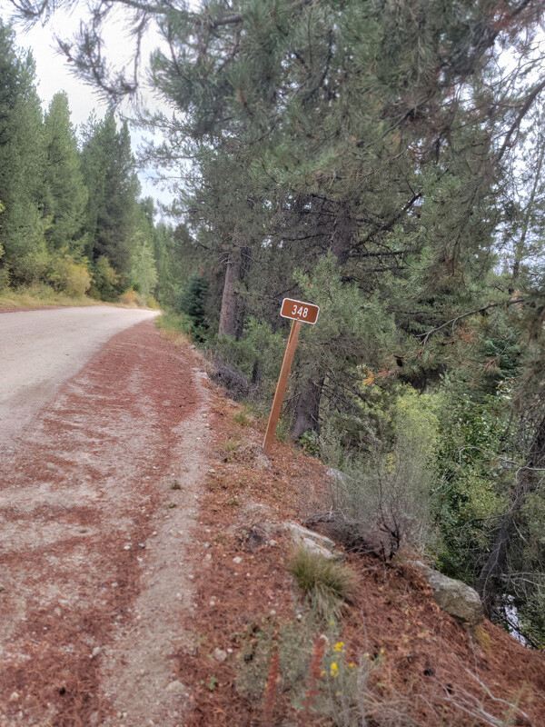
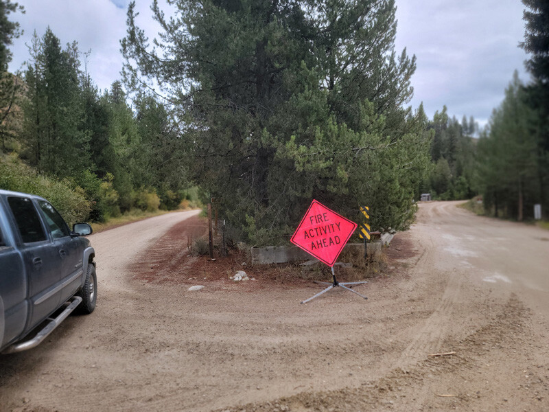
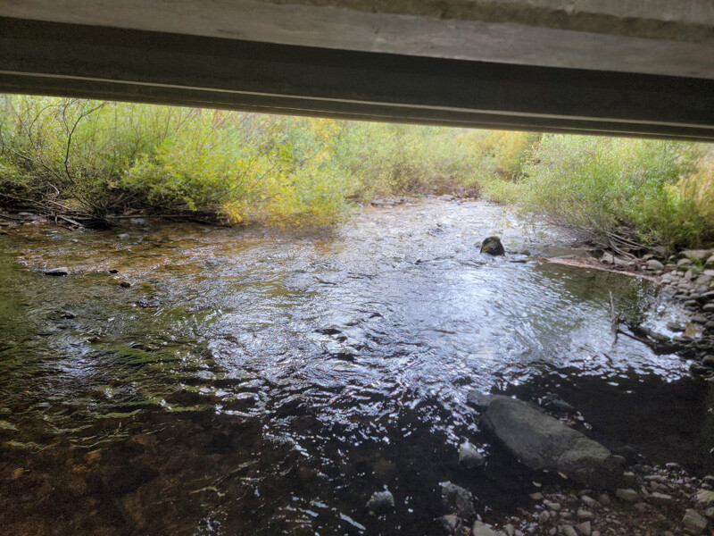
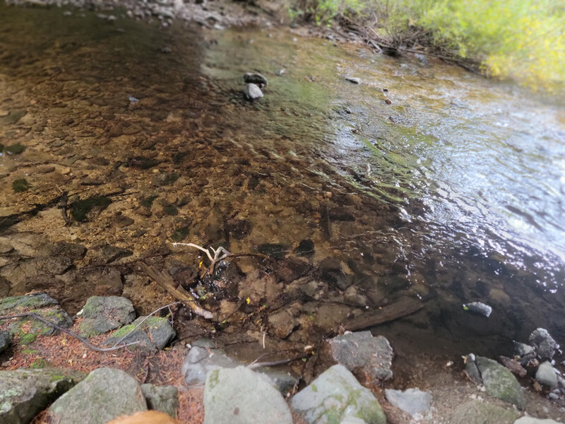
Request more Information What's Included with Purchase FAQs