Cayuse Claims
Rocky Bar Sold
Maps
Images

Overview
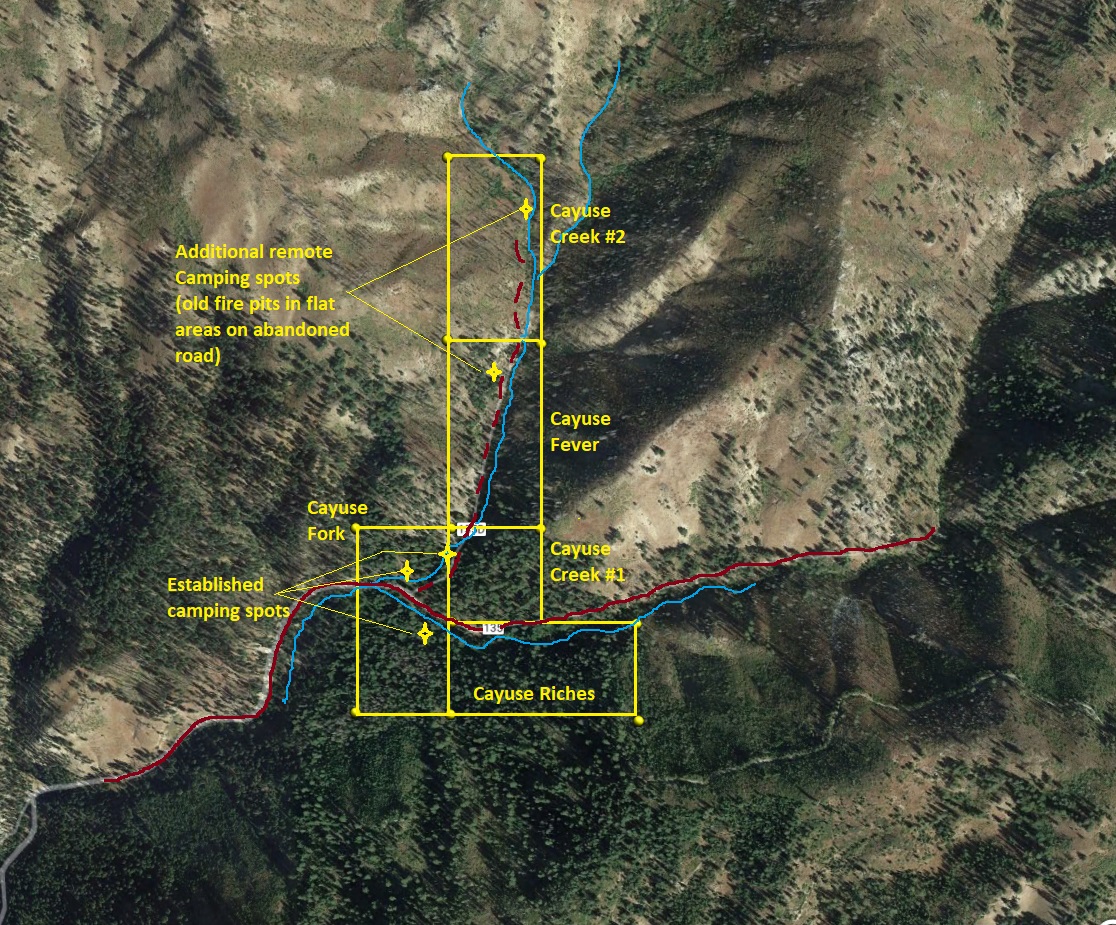
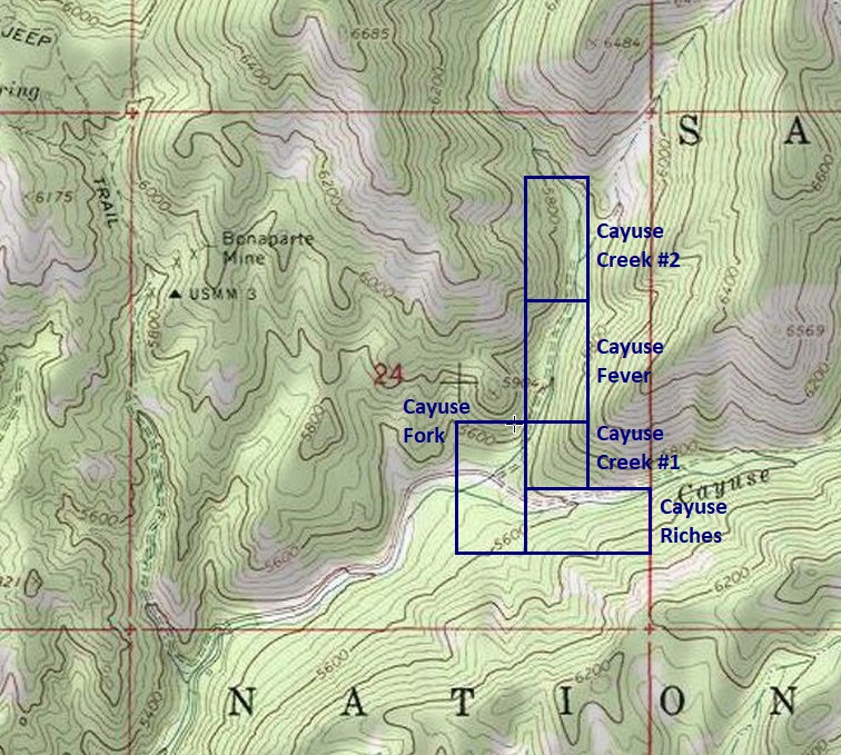
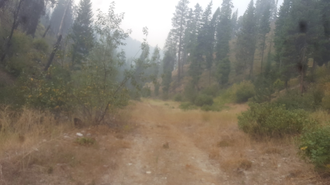
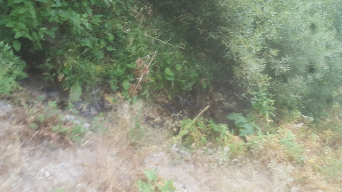
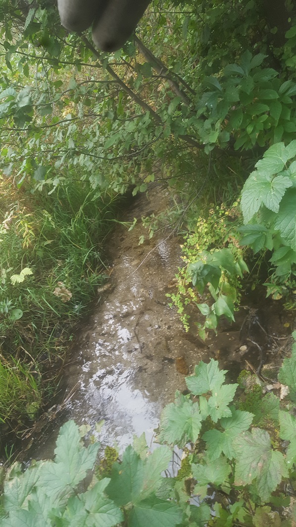
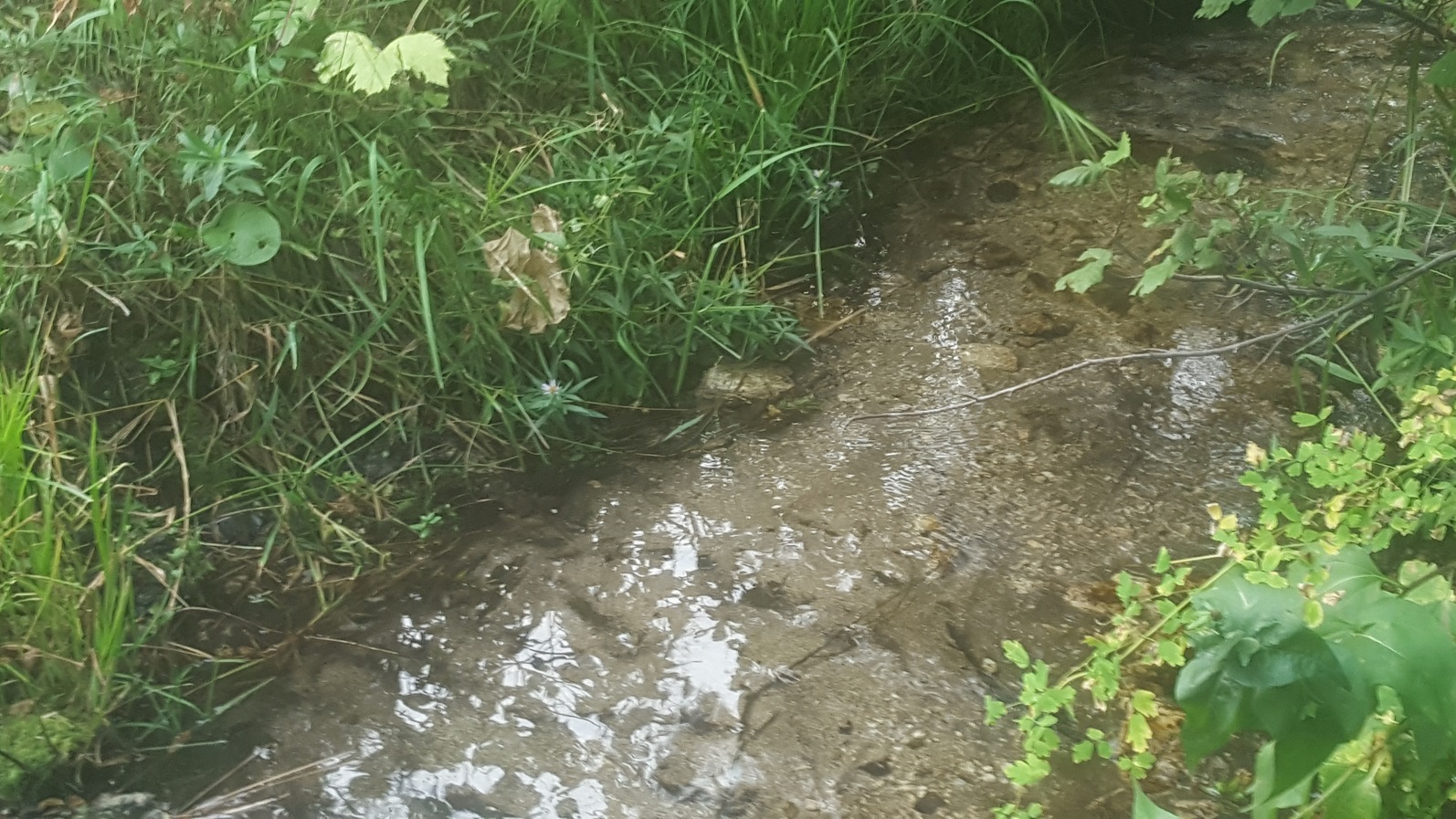
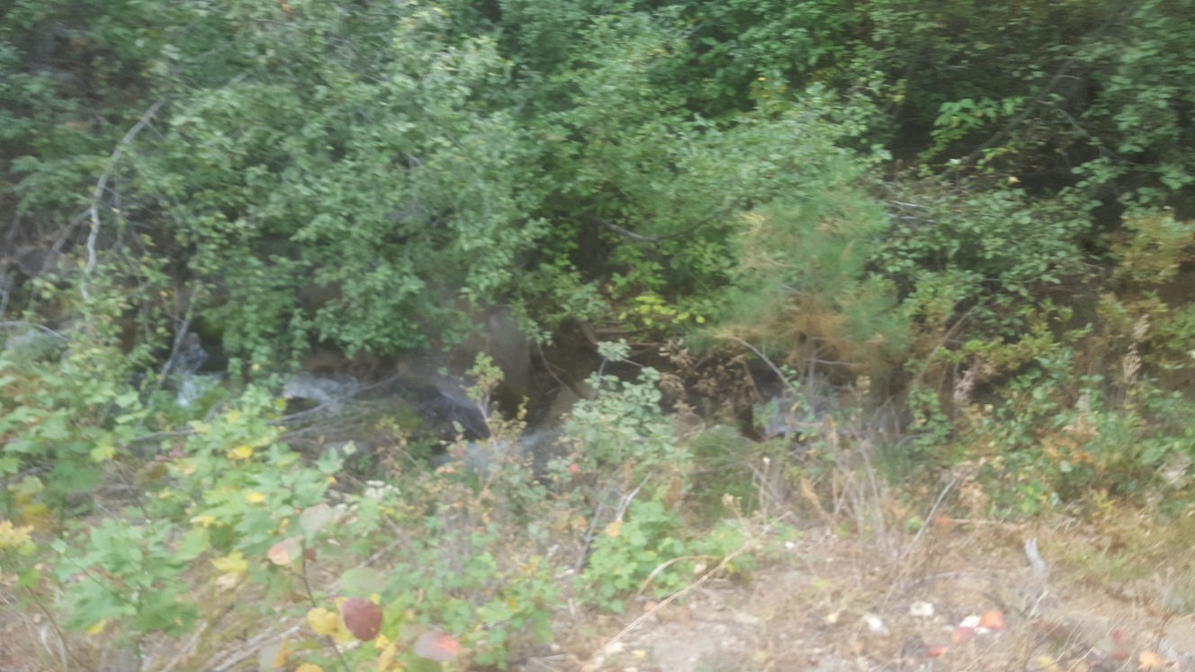
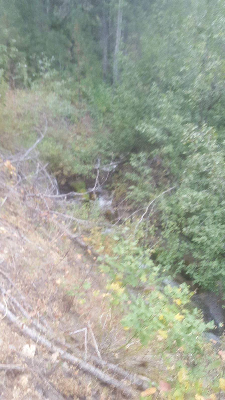
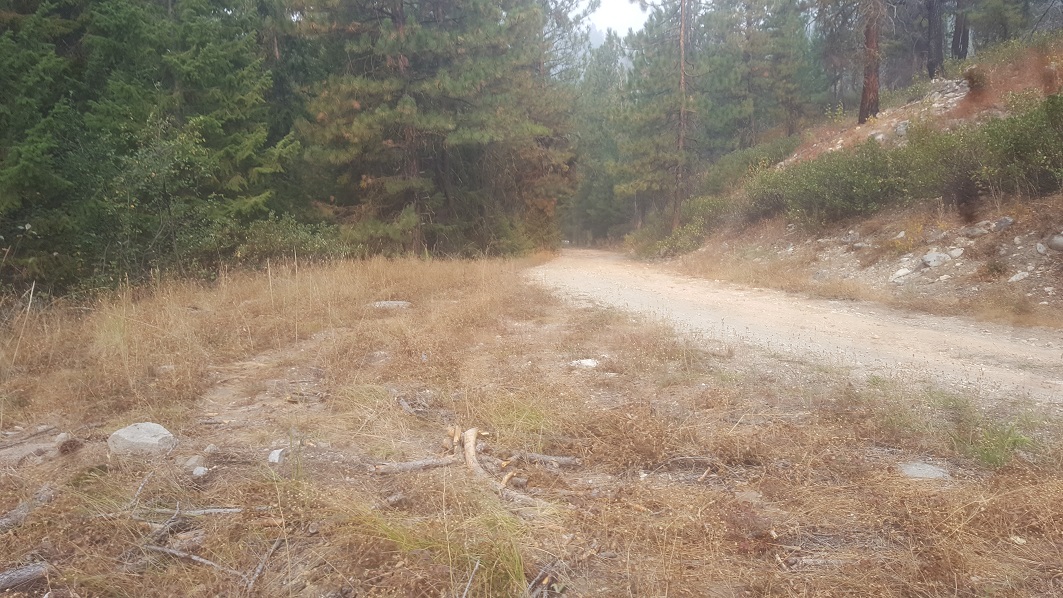
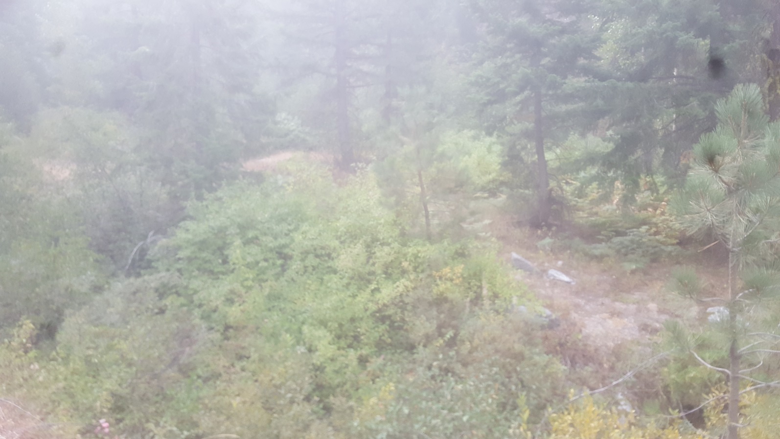
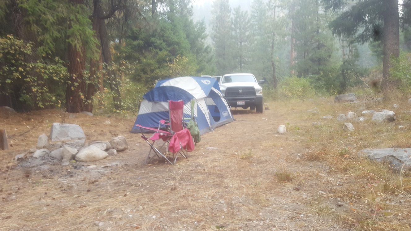
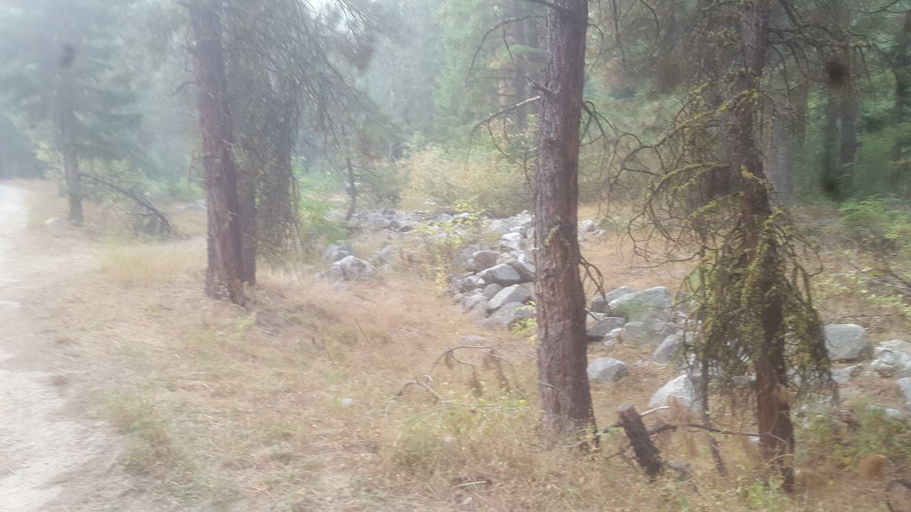
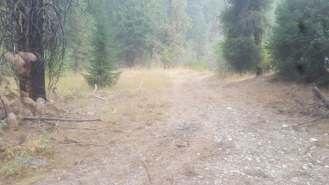
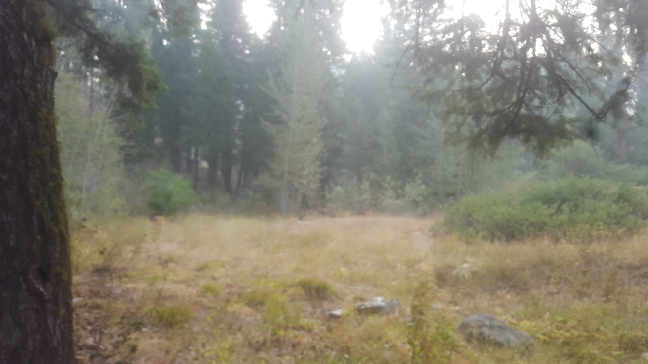
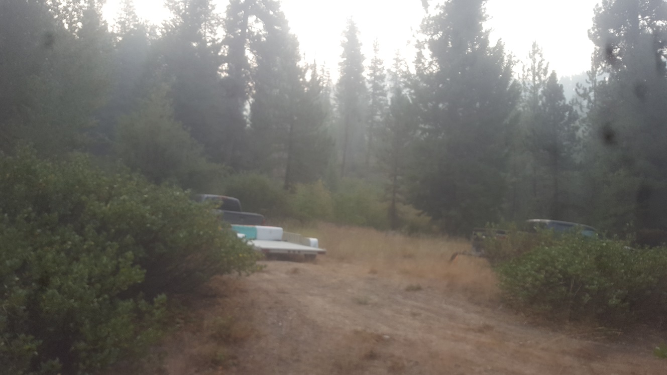
These 5 mining claims are situated in the Rocky Bar mining district which is north of Featherville, more specifically part of the Bonaparte Mine vein structure deposit (which runs east & west). Originally Idaho Gold Mining created 3 of these claims, which never got advertised on the website, as we had a client wanting a more isolated and great work area who acquired these claims before they could be listed. Over the years through his own efforts and exploration finding more viable ground on adjacent sites, IGM assisted him in establishing two more claims (five total now). The Cayuse Fork and Cayuse Riches has road access going through the claims, and the road dead ends about another mile to the east. At this junction (at Cayuse Fork), there is another main tributary and old abandoned road that extends further north, where more deposit has been found. There is a large tree that has fallen crossing the old road, which is virtually the only main thing that is blocking vehicle access…however once this is cleared it may invite others to also use this area. There are multiple existing camping areas directly on these claims (which I have plotted on the aerial map). While the client is reluctant to do so, due to recent family health issues, he is needing to sell these claims.
Currently the seller wishes to sell all 5 claims (90 acres) as a bundle for $11,000, however he “may” consider selling some claims individually.
Cayuse Fork
- Acreage: 20 acre unpatented placer claim
- River footage: 800’ each fork Cayuse Cr. (3 large designated camping areas)
- Location: Elmore County, Township 4N, Range 10E, Sec. 24, SE ¼
- Mining claim serial #: ID101959761 (aka IMC232059)
Map to Claim
Coordinates
Marker Degrees, Minutes, Seconds
NW 43°39’54.9000”N, -115°12’34.0560”W
NE 43°39’54.9000”N, -115°12’24.8040”W
SE 43°39’42.0480”N, -115°12’24.8040”W
SW 43°39’42.0480”N, -115°12’34.0560”W
Marker Latitude/Longitude
NW 43.66525’N, -115.20946’W
NE 43.66525’N, -115.20689’W
SE 43.66168’N, -115.20689’W
SW 43.66168’N, -115.20946’W
Cayuse Riches
- Acreage: 20 acre unpatented placer claim
- River footage: 1350’ of Cayuse Cr.
- Location: Elmore County, Township 4N, Range 10E, Sec. 24, SE ¼
- Mining claim serial #: ID101958172 (aka IMC232060)
Map to Claim
Coordinates
Marker Degrees, Minutes, Seconds
NW 43°39’48.3120”N, -115°12’24.8040”W
NE 43°39’48.3120”N, -115°12’07.0200”W
SE 43°39’42.0480”N, -115°12’07.0200”W
SW 43°39’42.0480”N, -115°12’24.8040”W
Marker Latitude/Longitude
NW 43.66342’N, -115.20689’W
NE 43.66342’N, -115.20195’W
SE 43.66168’N, -115.20195’W
SW 43.66168’N, -115.20689’W
Cayuse Fever
- Acreage: 20 acre unpatented placer claim
- River footage: 1400’ trib of Cayuse Cr.
- Location: Elmore County, Township 4N, Range 10E, Sec. 24, SE & NE ¼s
- Mining claim serial #: ID101958173 (aka IMC232061)
Map to Claim
Coordinates
Marker Degrees, Minutes, Seconds
NW 43°40’07.6440”N, -115°12’24.8040”W
NE 43°40’07.6440”N, -115°12’16.1280”W
SE 43°39’54.9000”N, -115°12’16.1280”W
SW 43°39’54.9000”N, -115°12’24.8040”W
Marker Latitude/Longitude
NW 43.66879’N, -115.20689’W
NE 43.66879’N, -115.20448’W
SE 43.66525’N, -115.20448’W
SW 43.66525’N, -115.20689’W
Cayuse Creek #1
- Acreage: 10 acre unpatented placer claim
- River footage: 150’ trib of Cayuse Cr.
- Location: Elmore County, Township 4N, Range 10E, Sec. 24, SE ¼
- Mining claim serial #: ID105228501
Map to Claim
Coordinates
Marker Degrees, Minutes, Seconds
NW 43°39’54.9000”N, -115°12’24.8040”W
NE 43°39’54.9000”N, -115°12’16.1280”W
SE 43°39’48.3120”N, -115°12’16.1280”W
SW 43°39’48.3120”N, -115°12’24.8040”W
Marker Latitude/Longitude
NW 43.66525’N, -115.20689’W
NE 43.66525’N, -115.20448’W
SE 43.66342’N, -115.20448’W
SW 43.66342’N, -115.20689’W
Cayuse Creek #2
- Acreage: 20 acre unpatented placer claim
- River footage: 1350’ trib of Cayuse Cr
- Placer/lode: ID105234904
- Location: Elmore County, Township 4N, Range 10E, Sec. 24, NE ¼
- Mining claim serial #:
Map to Claim
Coordinates
Marker Degrees, Minutes, Seconds
NW 43°40’20.0280”N, -115°12’24.8040”W
NE 43°40’20.0280”N, -115°12’16.1280”W
SE 43°40’07.6440”N, -115°12’16.1280”W
SW 43°40’07.6440”N, -115°12’24.8040”W
Marker Latitude/Longitude
NW 43.67223’N, -115.20689’W
NE 43.67223’N, -115.20448’W
SE 43.66879’N, -115.20448’W
SW 43.66879’N, -115.20689’W
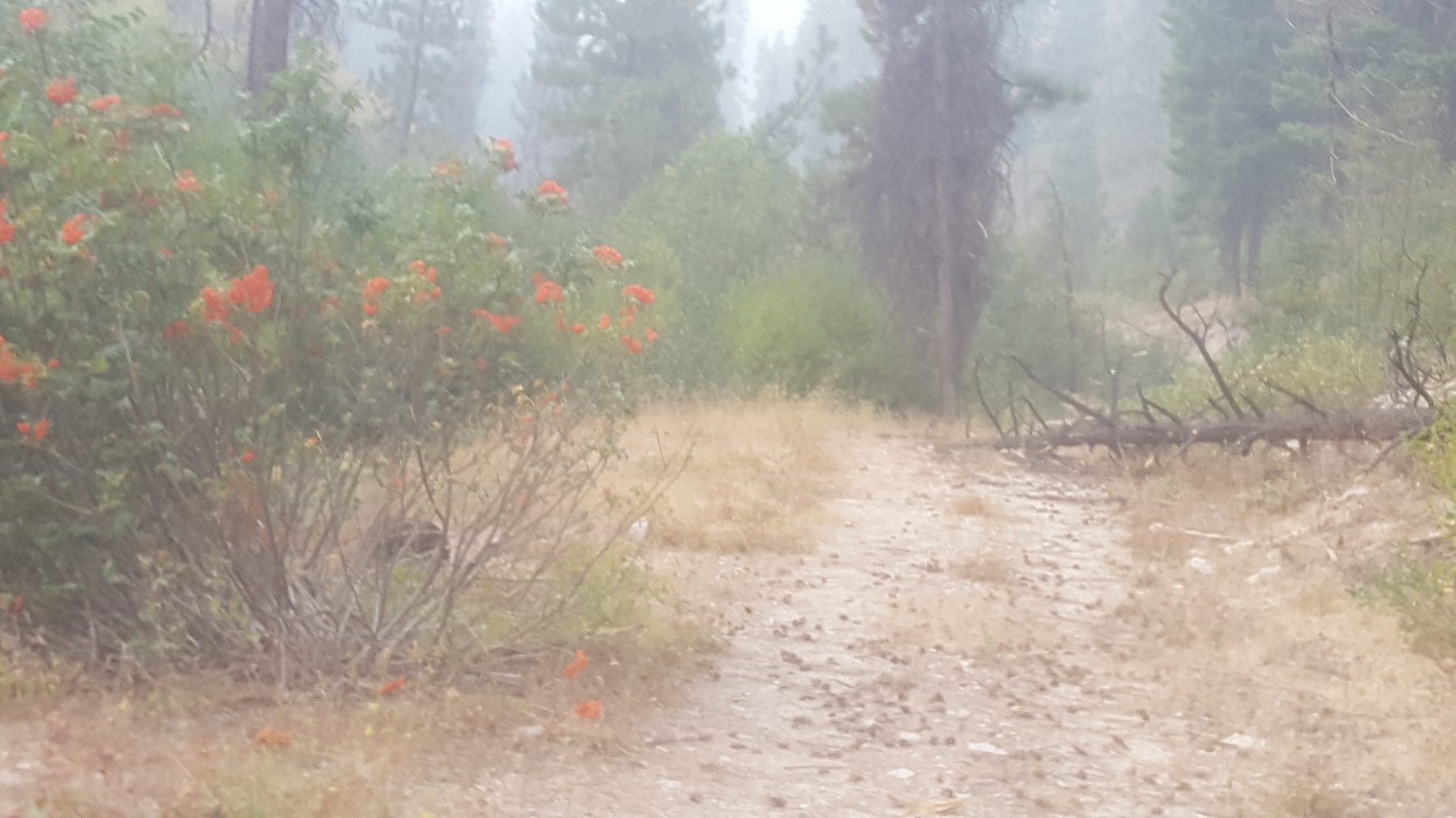
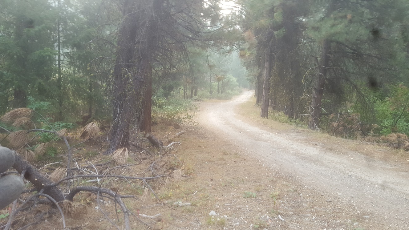
To locate these claims, it is pavement for all but the last 6 miles. Driving Directions from Mountain Home: Take HWY 20 (from I-84 Exit 95), north out of Mountain Home for 31.5 miles. Turn left (north) onto NF 61 (AKA Pine-Featherville Rd, signs for Anderson Ranch) and stay on this road for 28.6 miles. I will note that in Pine at the T looking intersection (at 18 miles), the main road (without stop sign), veers to the right by the Pine diner…so just stay on the main road. After entering the original older town of Featherville (at approximately 28.7 miles from HWY 20), you will make a left (north) after the bridge (over Feather River) onto the well graded dirt road NF 135. You will continue on this main road for approximately 4.9 miles until reaching the Cayuse Fork mining claim. There will be some side road junctions, but the main road extends up along Feather River for 1.8 miles (river & massive tailing piles on the left), and then follow the Cayuse drainage the remaining way to the claims. The claims have been marked (signs on the trees) on the east and west ends along the road, for easier reference.