Cabin Fork Claims
Overview
“Ophir Creek” is one of those top historically well-known gold bearing tributaries of the Boise Basin as a source of phenomenal color in the center of prime gold country. The surrounding mountains which are littered with lode mines and other adits illustrates multiple accounts of Ophir Creek having cut many of these veins, with rich deposits laying within its gravels. Ophir Creek is also a tributary that is open to dredging.
- These two prized mining claims are positioned 600’ downstream of the “Mineral Hill Mine” (patented lode mine) on Mineral Mountain. These claims are positioned;
- Just a short 4 miles to the northeast is the rich lode activity of historic Grimes Pass
- Three miles to the east is historic mining town of Pioneerville, with Muddy Creek and Grimes Creek
- Less than a mile north is the rich lode mines of Mineral Mountain (that feed this drainage).
- Four miles to the west is the historic Quartzburg mines
- Three miles to the southwest is the historic mining town of Placerville (where Ophir Creek flows into Woof Creek)
The surrounding area is also known for it’s glacial till (appears in the form of river cobble), which blanket over many sections around Placerville and Mineral Mountain.
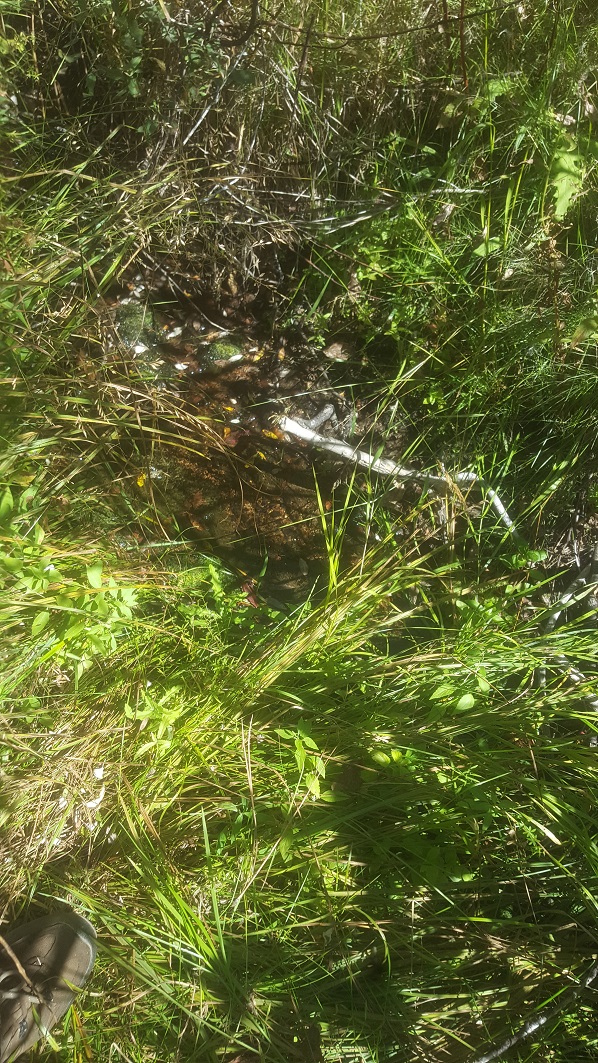
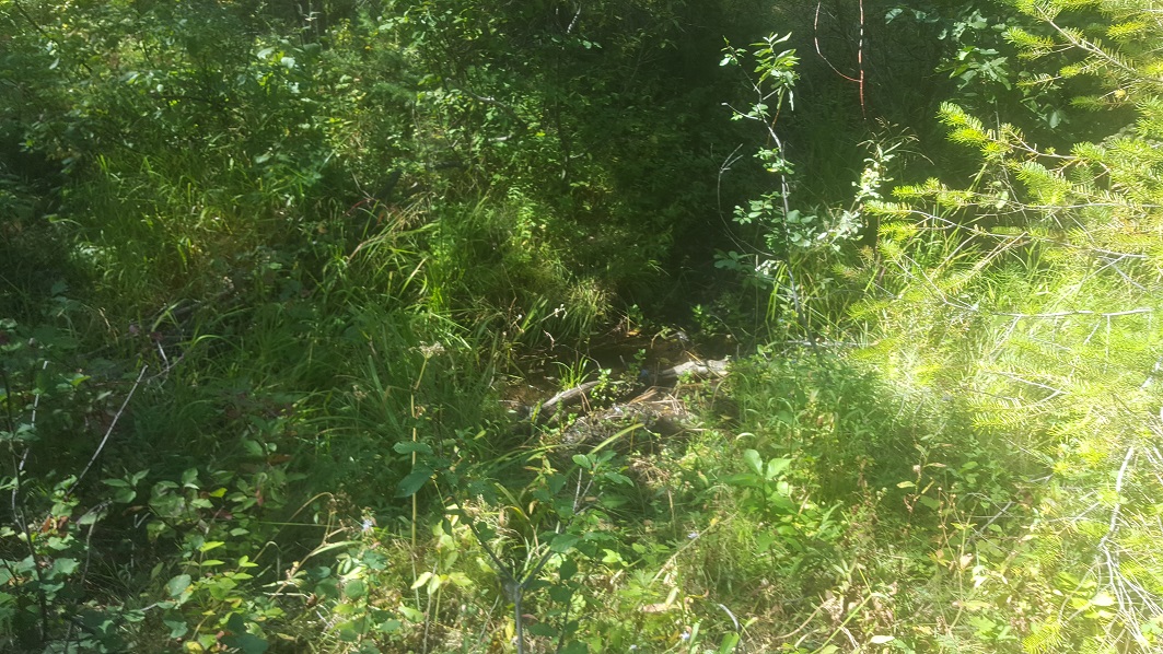
These are two 20 acre placer mining claims (40 acres total), that will be sold together as a pair. “Cabin Fork A” mining claim has the main road access into Ophir Creek to the mining claims. From “Cabin Fork A”, there is an overgrown old mining road, which extends up the bottom of Ophir Creek through “Cabin Fork B” mining claim. Both main tributaries on Cabin Fork B are gold bearing. These sites were named (for last 20 years) “Cabin Fork” as there was an older mining cabin at the fork of these two larger tributaries, however, fires in the area destroyed most of the structure, leaving only remnants of an old foundation.
Cabin Fork A & B
Sold
- Acreage: 40 acres unpatented placer claims
- River footage: 1850’ of Ophir Creek & 1550’ gold bearing tribs (1 camping area on claim)
- Location: Boise County, Township 8N, Range 5E, Sec. 31, SE ¼
- Mining claim serial #: IMC232031 & IMC232033
Map to Claim
Coordinates
Marker Degrees, Minutes, Seconds
NW 43°59’13.7400″N, -115°54’17.6400”W
NE 43°59’13.7400″N, -115°54’08.6760”W
SE 43°58’47.3880″N, -115°54’08.6760”W
SW 43°58’47.3880″N, -115°54’17.6400”W
Marker Latitude & Longitude
NW 43.98715°N, -115.90490°W
NE 43.98715°N, -115.90241°W
SE 43.97983°N, -115.90241°W
SW 43.97983°N, -115.90490°W
Aerial & Topo Images


Images


For the purchase of “Cabin Fork A & B”, while it lasts, Idaho Gold Mining will also include (for free) the 10 acre Ophir Riches mining claim, which is just downstream from the “Cabin Fork A” mining claim along NF 386. Or individually priced below.
Ophir Riches
Sold
- Acreage: 10 acre unpatented placer claim
- River footage: 850’ of Ophir Creek
- Location: Boise County, Township 7N, Range 5E, Sec. 06, NE ¼
- Mining claim serial #: IMC232036
Map to Claim
Coordinates
Marker Degrees, Minutes, Seconds
NW 43°58’40.9440″N, -115°54’35.1720”W
NE 43°58’40.9440″N, -115°54’25.7760”W
SE 43°58’34.3920″N, -115°54’25.7760”W
SW 43°58’34.3920″N, -115°54’35.1720”W
Marker Latitude & Longitude
NW 43.97804°N, -115.90977°W
NE 43.97804°N, -115.90716°W
SE 43.97622°N, -115.90716°W
SW 43.97622°N, -115.90977°W
Aerial & Topo Images


Images


Show me the Gold
These samples were collected from doing a short 3 hour sampling (using suction high-banker), but there is quite a bit more additional color I have collected on Ophir Creek, with having owned several miles of this drainage over many years. There is some amalgam present, but mostly clean color. Within the concentrates I have also found a LOT of PGMs, so be mindful of what you throw away.


Geological Reports
1915 Report
https://pubs.usgs.gov/bul/0640e/report.pdf
1947 Report
https://pubs.usgs.gov/bul/0944c/report.pdf (See pages 282 & 283)
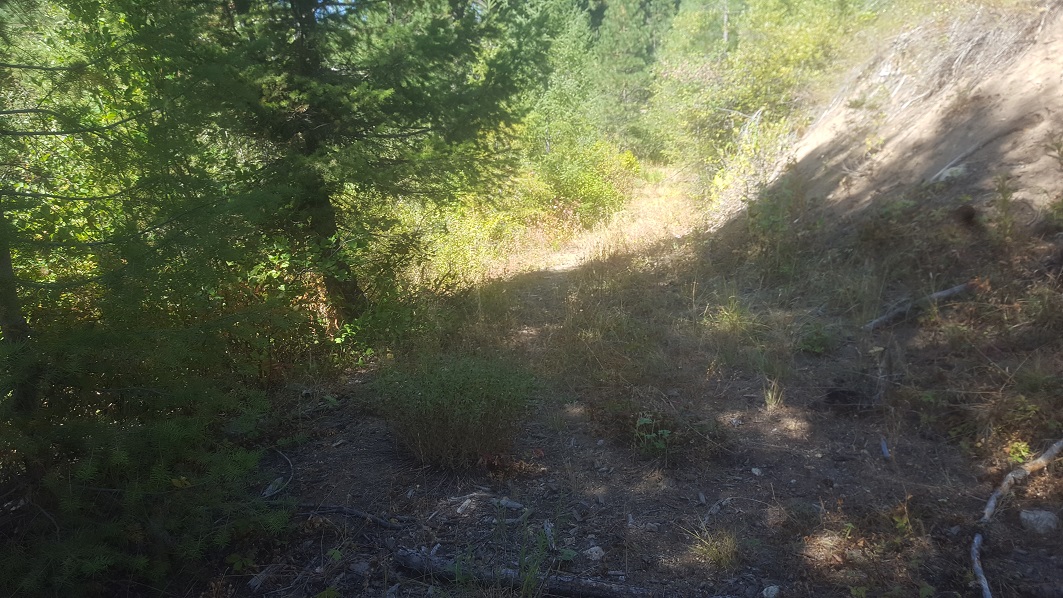
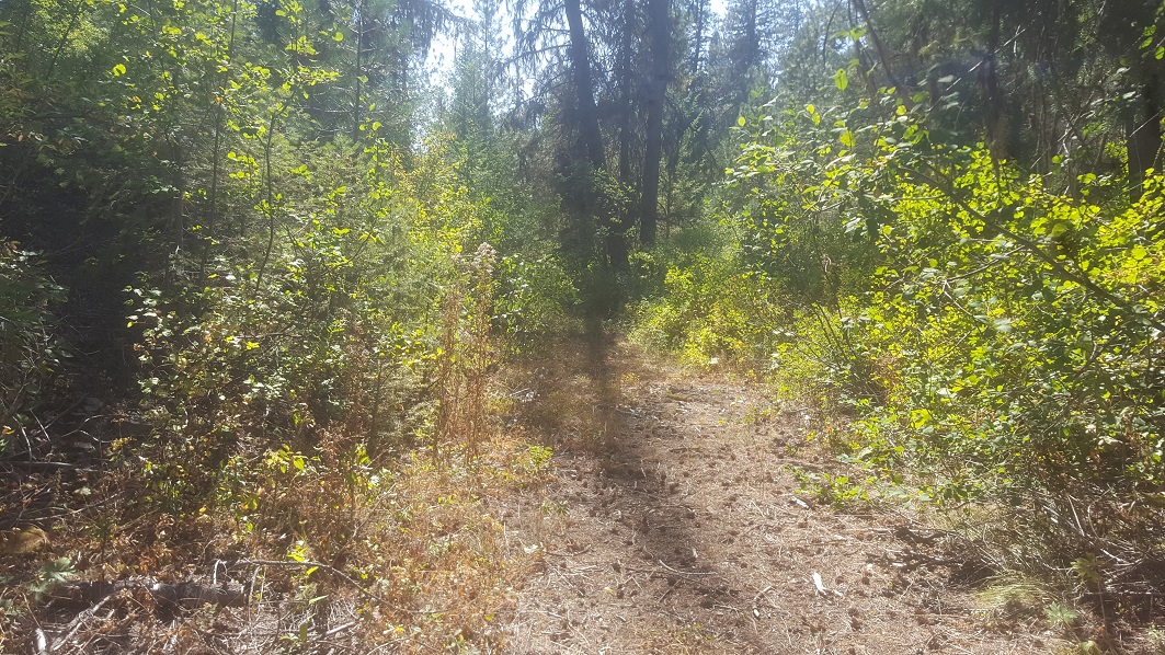
Driving Directions: The claims are located 18 miles outside the historic mining town of Idaho City (which has full services) or about 3 miles outside of Pioneerville. Driving directions to the claim: from Boise, travel north on HWY 21 to Idaho City (approximately 34 miles from I-84). Turn left (north) onto Main Street in Idaho City. In ¼ of a mile turn left on Centerville Road (signs to Centerville). Stay on Centerville Road for 7.5 miles and turn right onto Grimes Pass Road (NF 384). Continue for 6.6 and turn left on NF 386 aka Buckskin Road (if you get to Pioneerville you will have gone ¼ mile past the turn). Stay on the NF 386 for 3.4 miles (do not turn left on NF 381E at 2.5 miles where NF 386 crosses Buckskin Cr.). At 3.4 miles, the road will continue straight as well as be a switchback to the right, stay on the road that continues straight. In about 200 feet the road will fork again, stay to the right (on NF 386). You will continue on this for 0.2 of a mile until you reach Ophir Creek, where at this location you will be well into Cabin Fork A mining claim. There is also a camping area on an overgrown road at this location. The main road (currently more accessible by ATV…but I have taken trucks even this last mining season through here), will continue along Ophir Creek and comes out at Placerville. From the camp location, there is an overgrown road that can easily be cut back (for vehicle access) that extends up to Cabin Fork B. You can also access the northern portion of Cabin Fork B from back at the switchback (about 0.2 of a mile towards Pioneerville) and taking the switchback road. However this upper road stays on the ridge above the draw, although there is a service road (off of the NF 386) close to Mineral Hill Mine at Ophir Creek, that extends downstream (along the creek).
