Price: $2,250 - $3,000
AvailableBogie 1 & 2
Overview
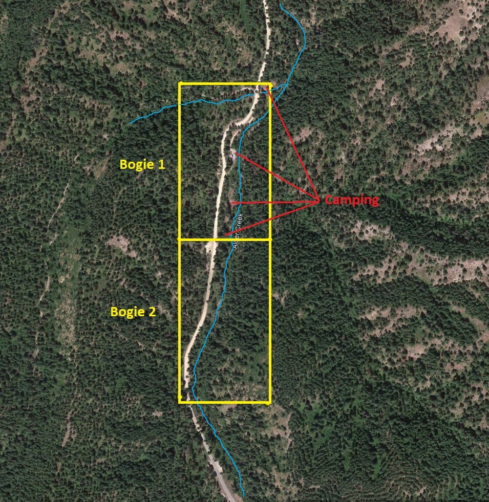
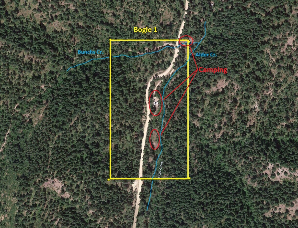
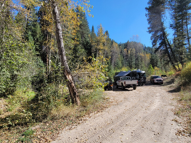
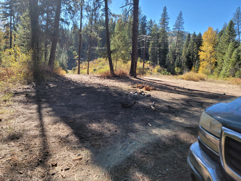
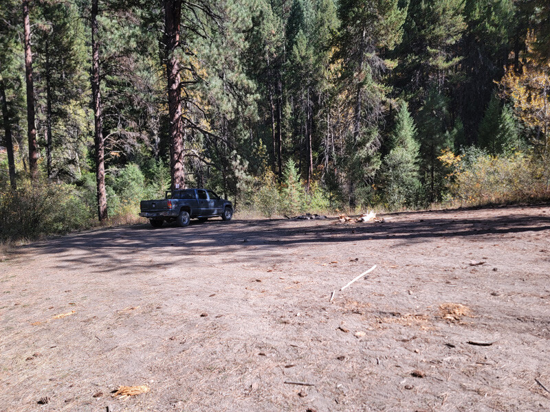
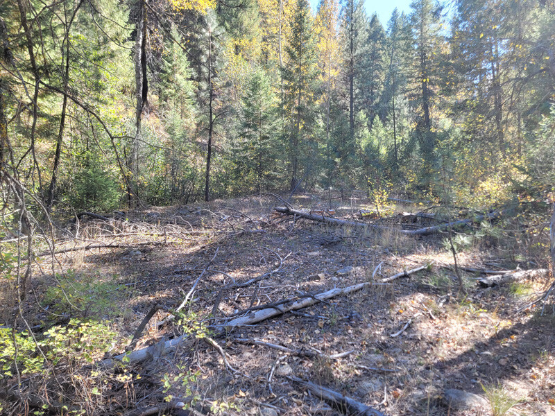
These two mining claims reside about 5 miles outside of Garden Valley (with full services & cell reception). Ample camping on Bogie 1, with a side road which could be better developed (cutting back brush) for camping to Bogie 2.
There is already a big write up on & about “Alder Creek” on the main page. So please visit here for more data, geological reports and the “Show me the Gold” of what Alder Creek produces.
IGM will consider a bundle price of $4,500 for both mining claims.
Bogie 1
Price: $3,000
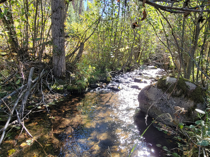
- Acreage: 20 acre unpatented placer claim
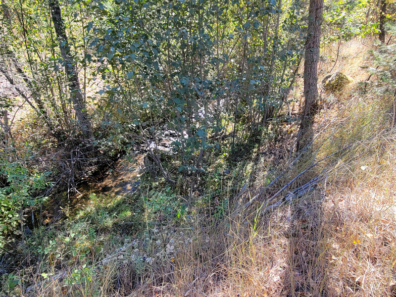
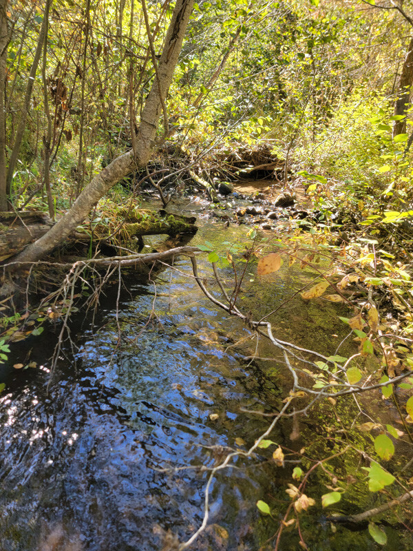
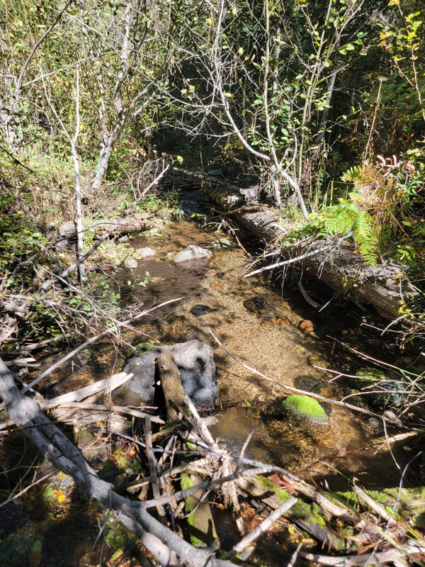
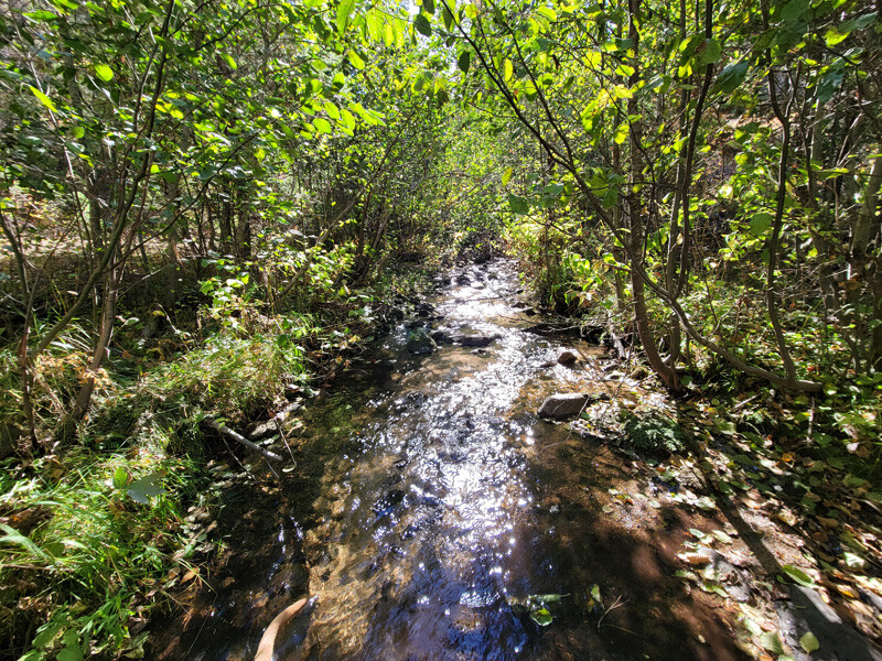
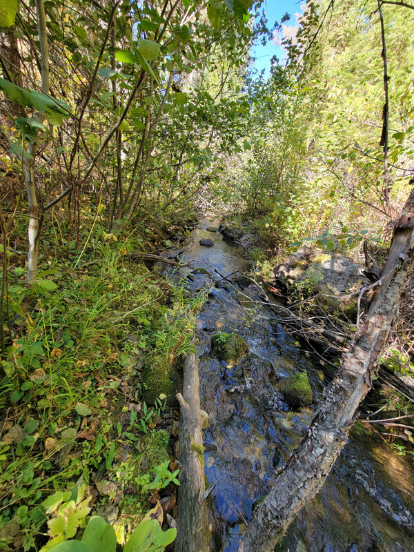
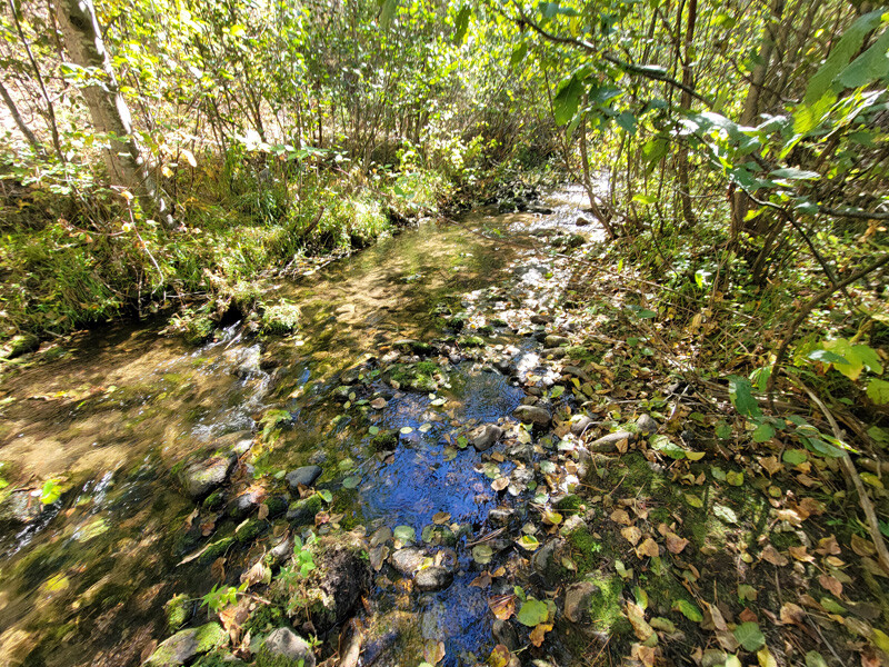
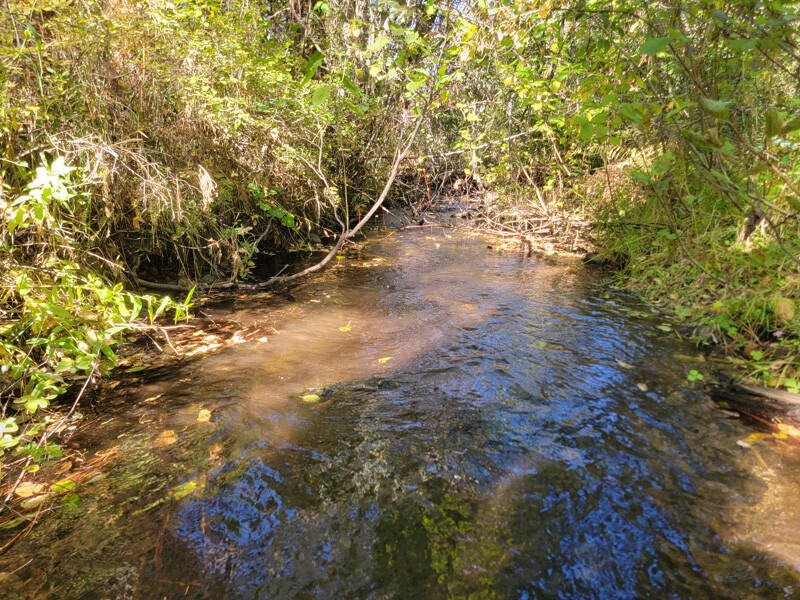
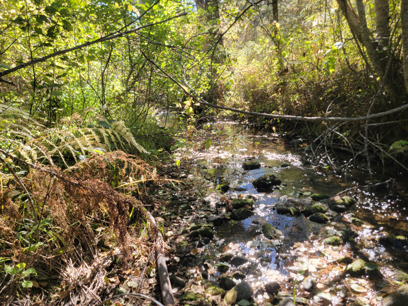
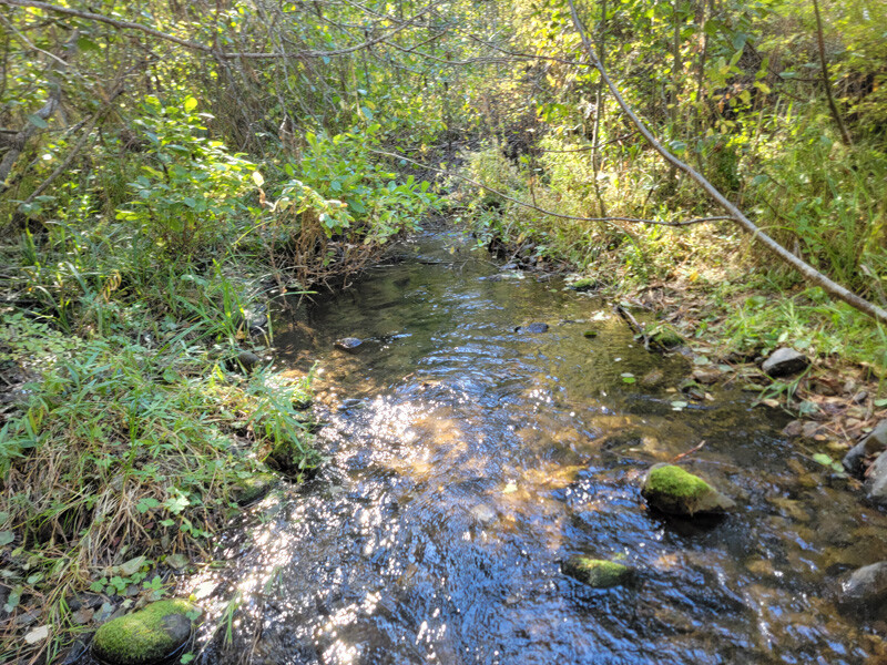
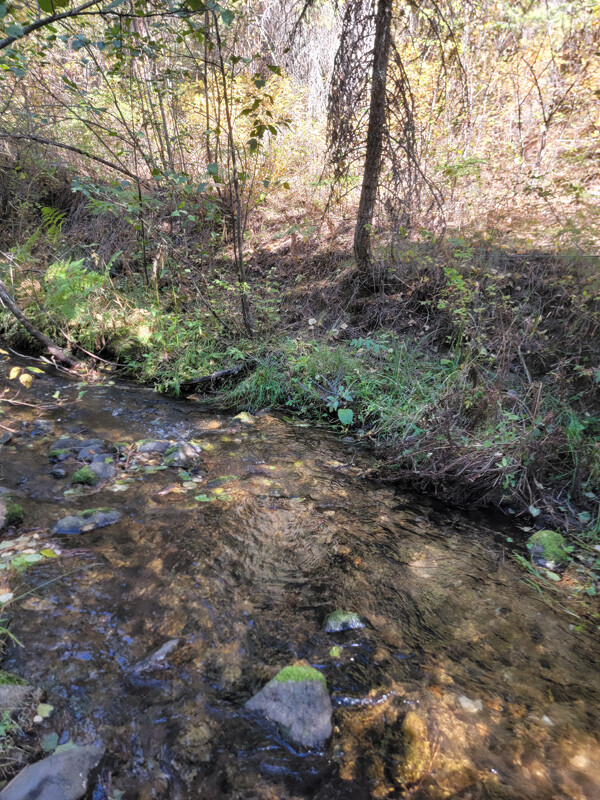
- River footage: 1,200’ of Alder Creek & 3 large camping areas “on” claim
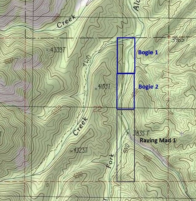
- Location: Boise County, Township 8N, Range 4E, Sec. 22 NE ¼
- Mining claim serial #: ID106852224
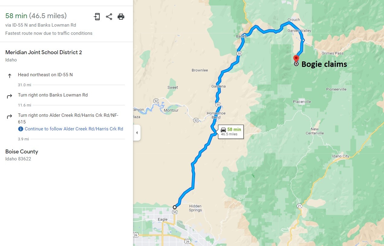
Map to Claim
Coordinates
Marker Degrees, Minutes, Seconds
NW 44°01’23.7000″N, -115°57’58.8960”W
NE 44°01’23.7000″N, -115°57’48.7080”W
SE 44°01’10.8120″N, -115°57’48.7080”W
SW 44°01’10.8120″N, -115°57’58.8960”W
Marker Latitude & Longitude
NW 44.02325°N, -115.96636°W
NE 44.02325°N, -115.96353°W
SE 44.01967°N, -115.96353°W
SW 44.01967°N, -115.96636°W
Aerial & Topo Images
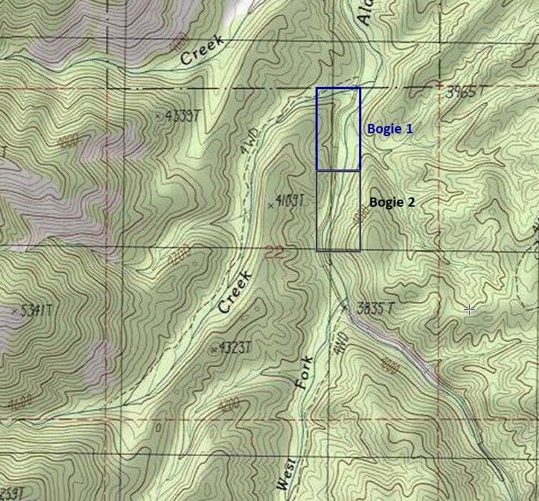
Images
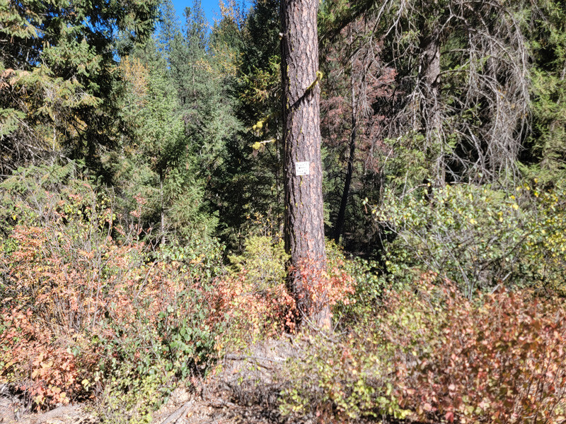
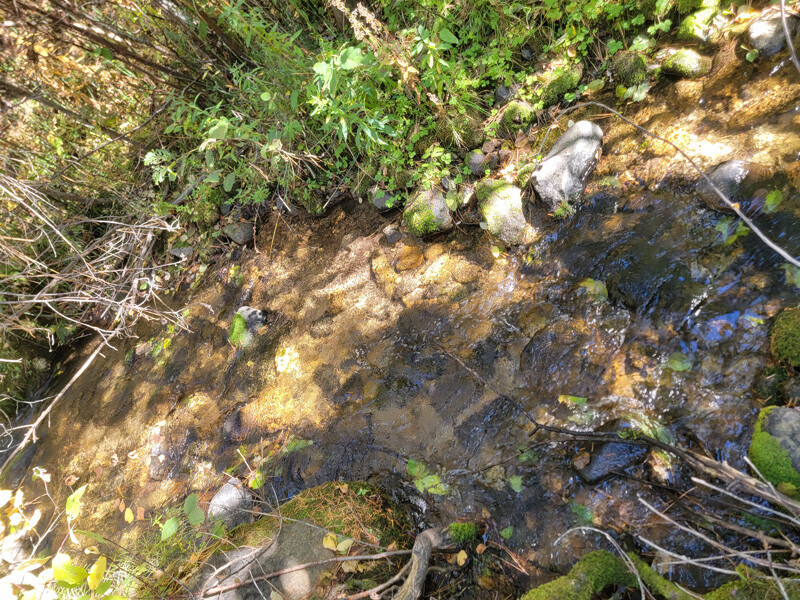
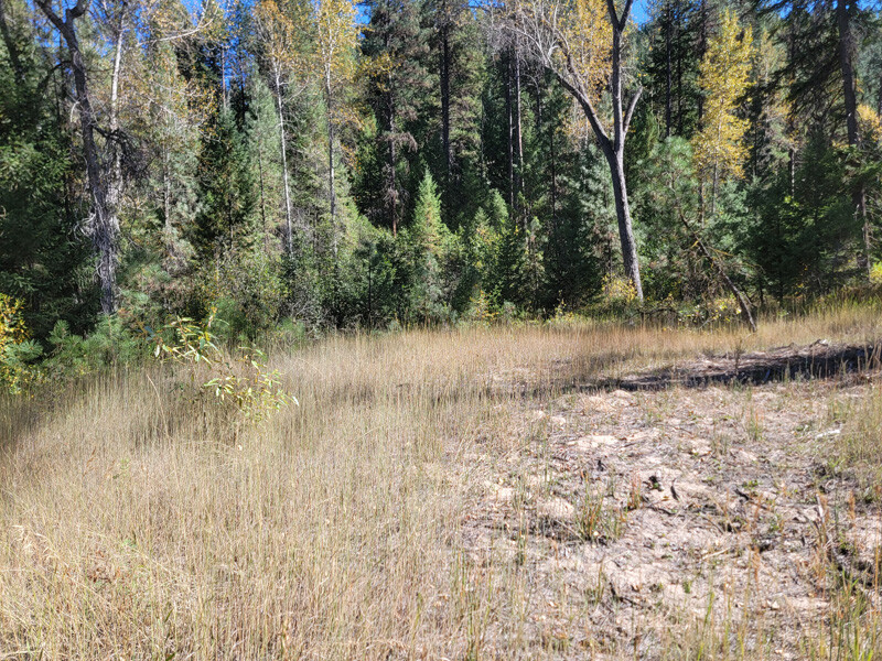
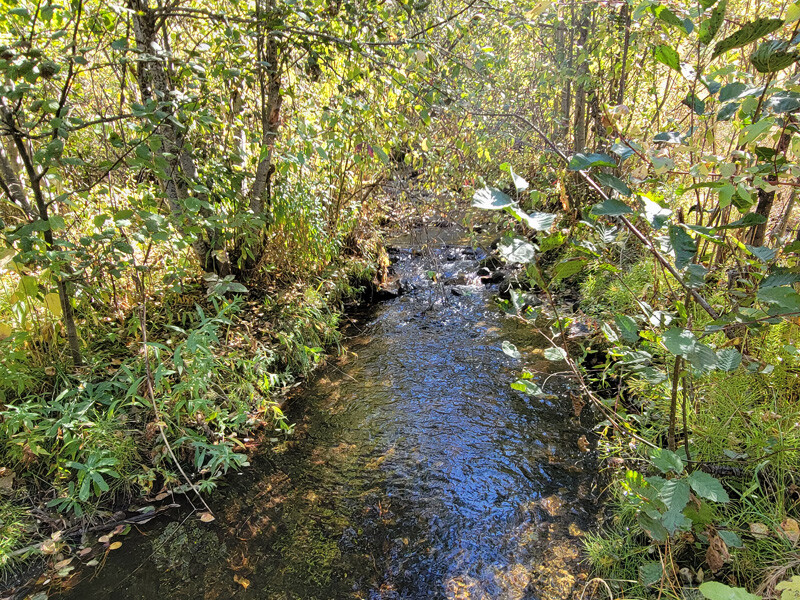
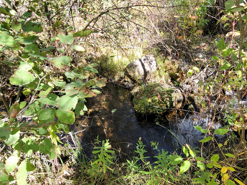
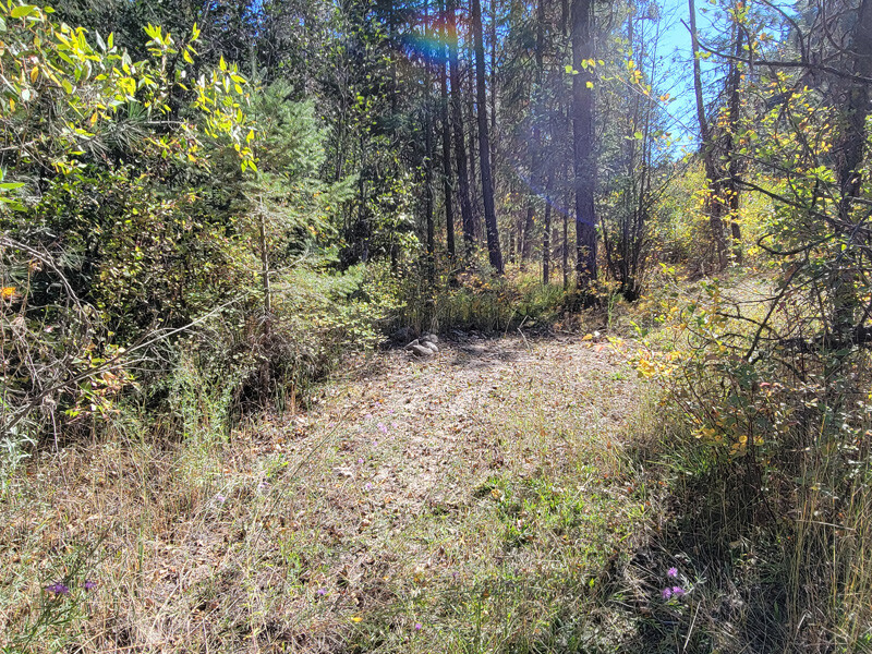
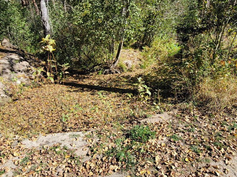
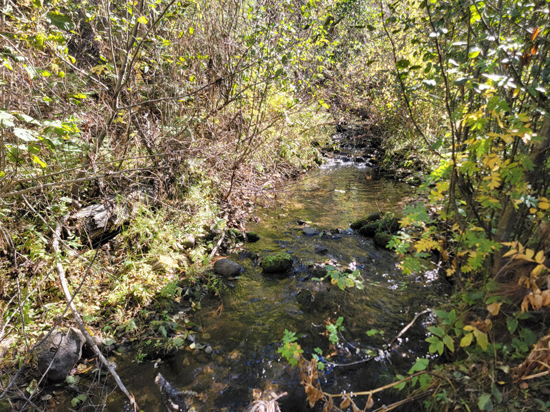
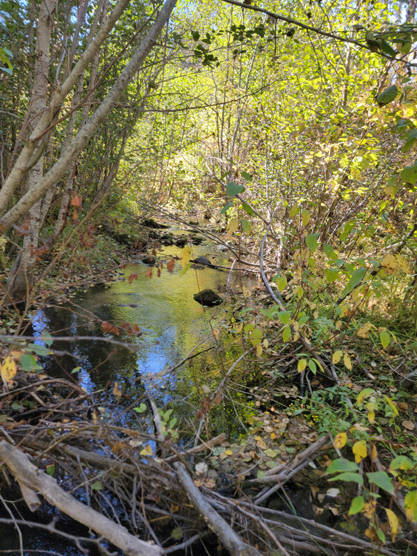
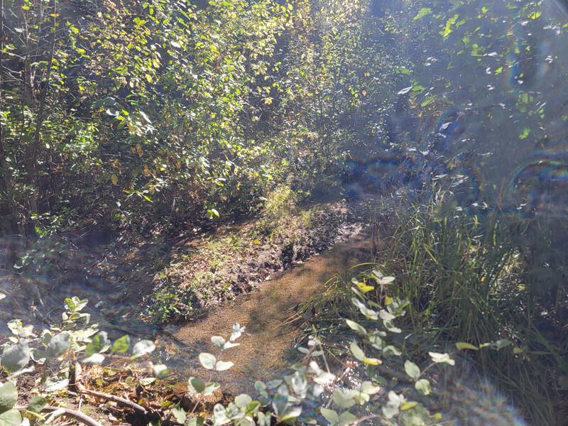
Bogie 2
Price: $2,250
- Acreage: 20 acre unpatented placer claim
- River footage: 1350’ of Alder Creek
- Location: Boise County, Township 8N, Range 4E, Sec. 22 NE ¼
- Mining claim serial #: ID106852225
Map to Claim
Coordinates
Marker Degrees, Minutes, Seconds
NW 44°01’10.8120″N, -115°57’58.8960”W
NE 44°01’10.8120″N, -115°45’39.6360”W
SE 44°00’57.9240″N, -115°45’39.6360”W
SW 44°00’57.9240″N, -115°57’58.8960”W
Marker Latitude & Longitude
NW 44.01967°N, -115.96636°W
NE 44.01967°N, -115.96353°W
SE 44.01609°N, -115.96353°W
SW 44.01609°N, -115.96636°W
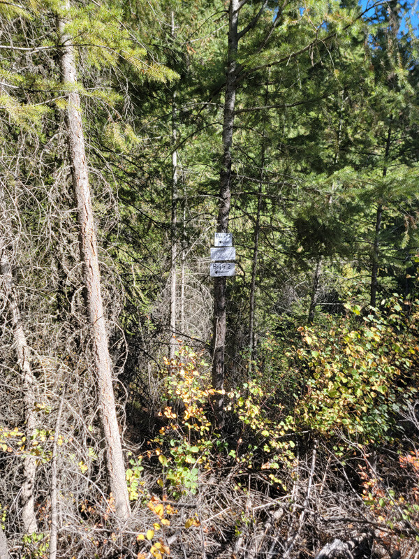
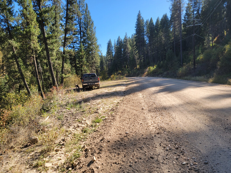
Aerial & Topo Images
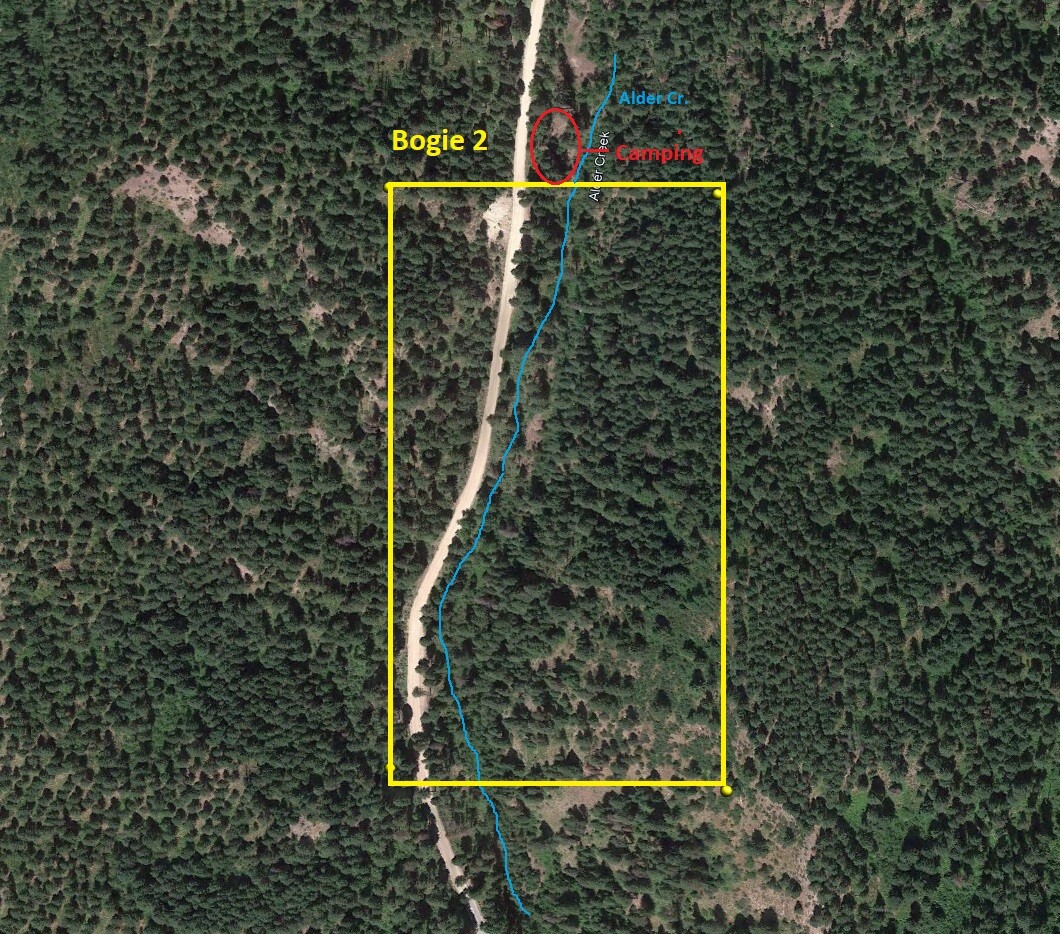
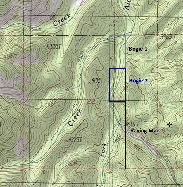
Images
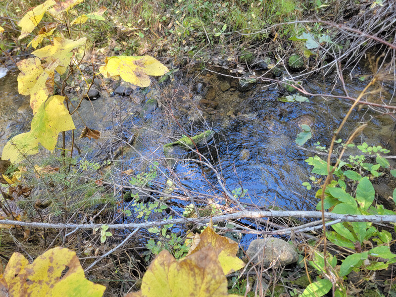
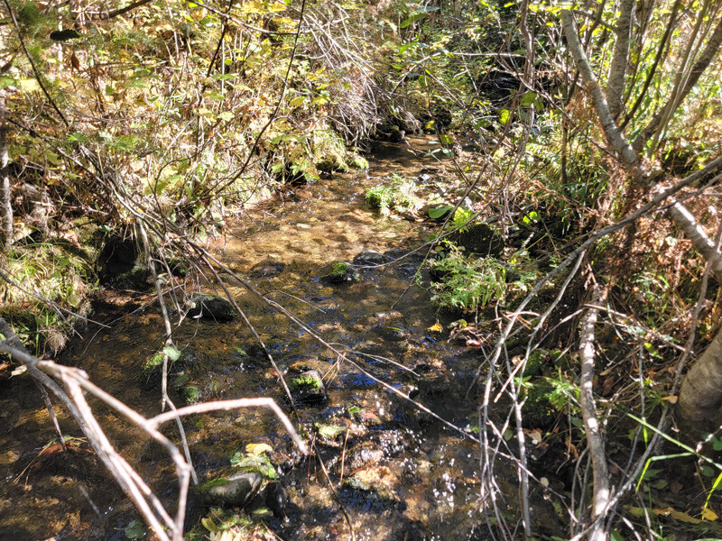
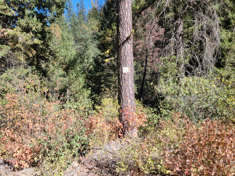
Show Me The Gold
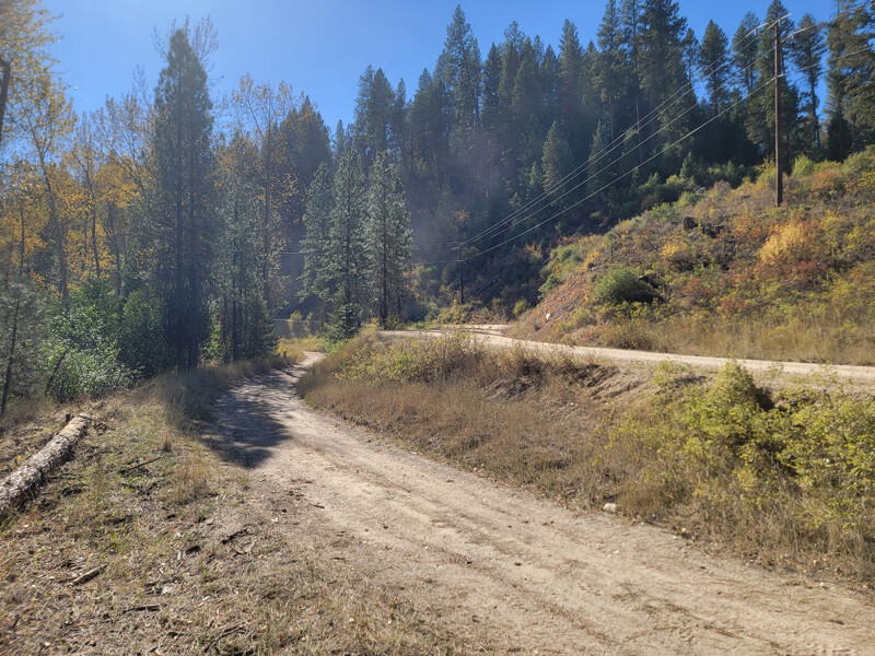
Driving Directions from Boise: Take HWY 55 (from State Street aka HWY 44), north out of Boise towards McCall. You will stay on HWY 55 for approximately 42 miles, and make a right onto HWY 17 at Banks (heading towards Garden Valley/Lowman). Continue on HWY 17 for approximately 11.5 miles (about a mile past Garden Valley), turning right (south) on the Meadow Creek Rd. (NF 615 aka Alder Creek Rd. that heads to Placerville). In a ¼ mile you will cross the bridge over the SF Payette River. Stay on this for 3.9 miles (from HWY 17), to the mining claims