Beaver Creek Claims
Crooked River Sold
Overview
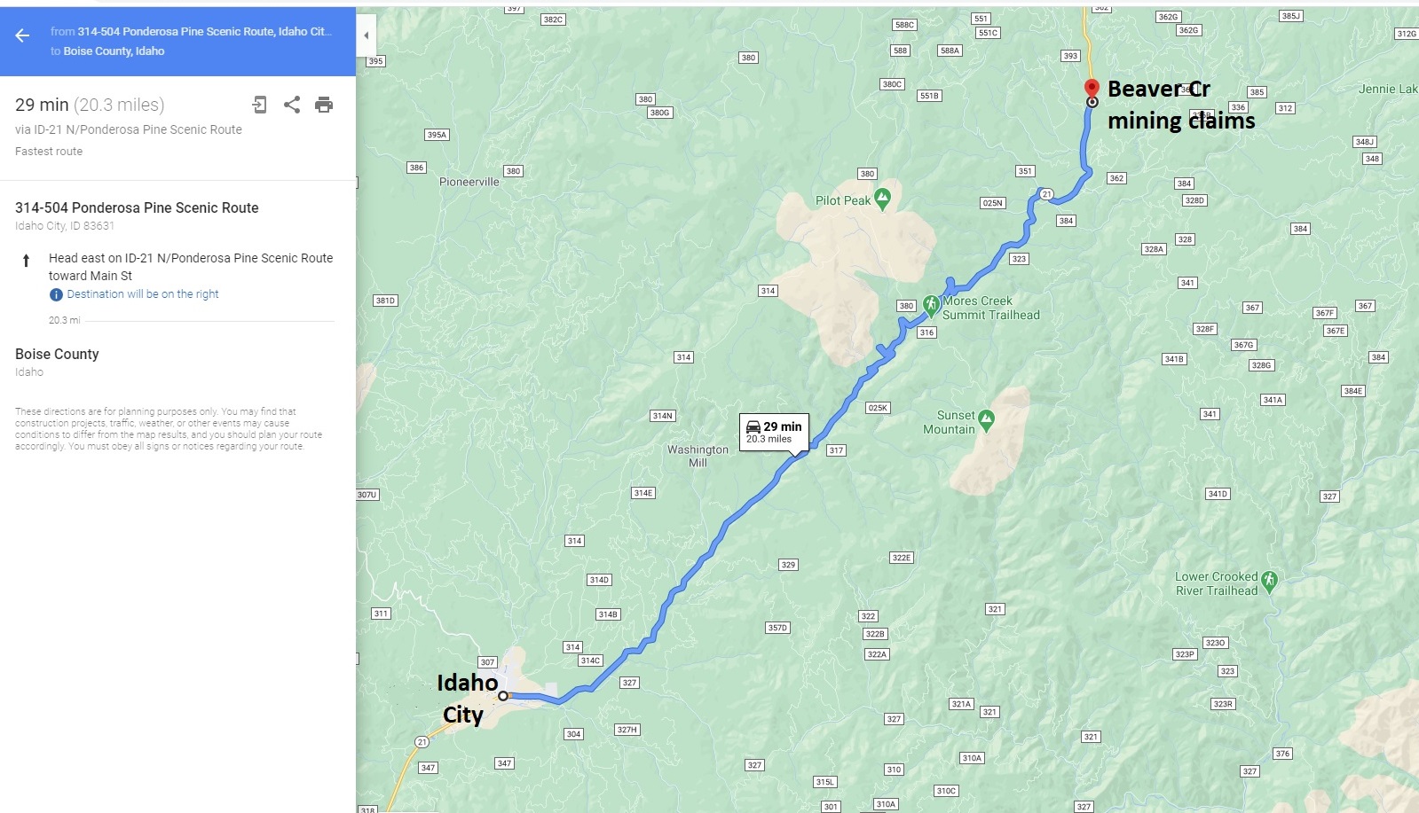
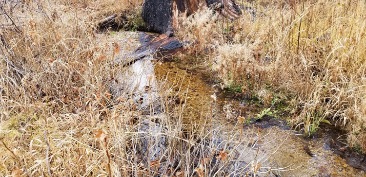
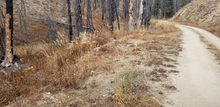
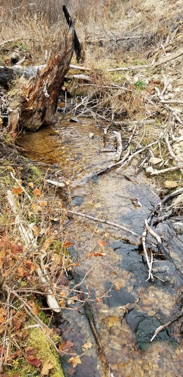
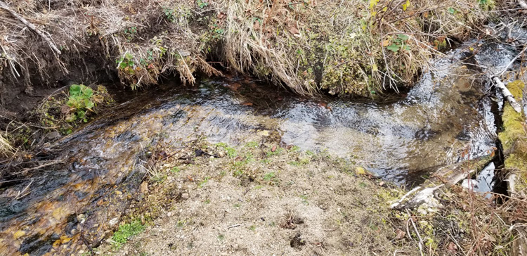
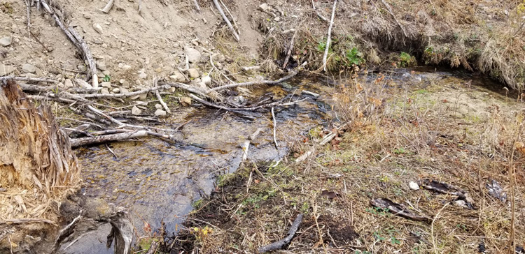
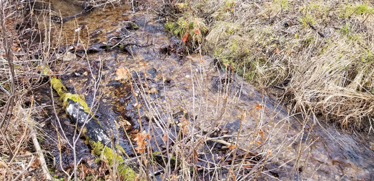
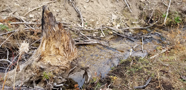
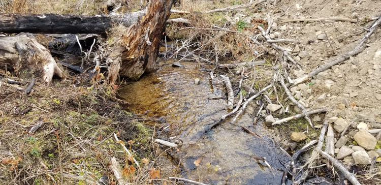
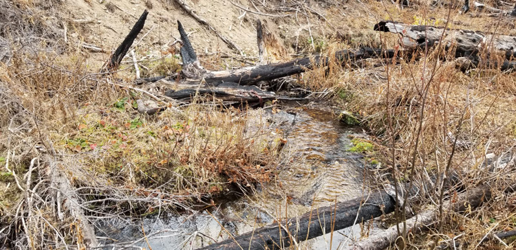
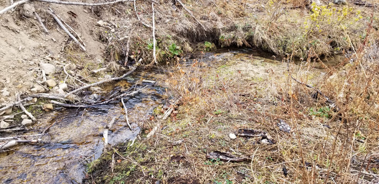
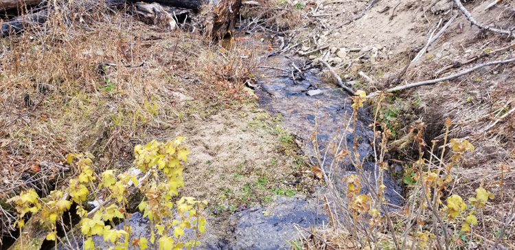
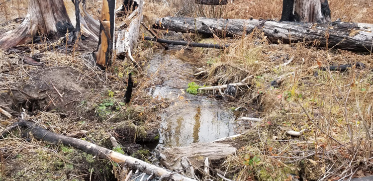
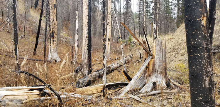
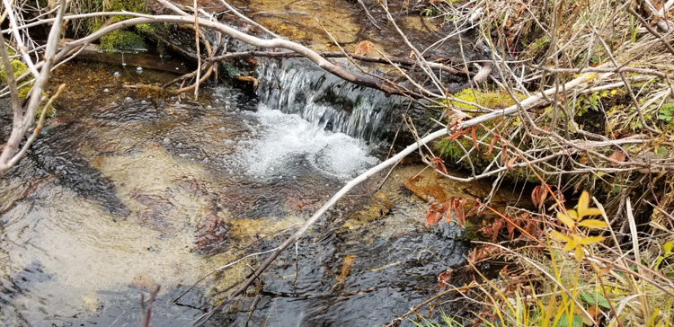
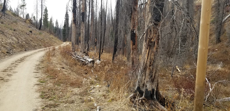
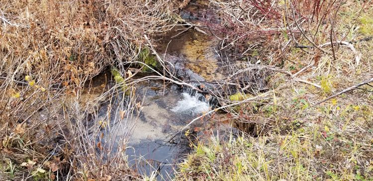
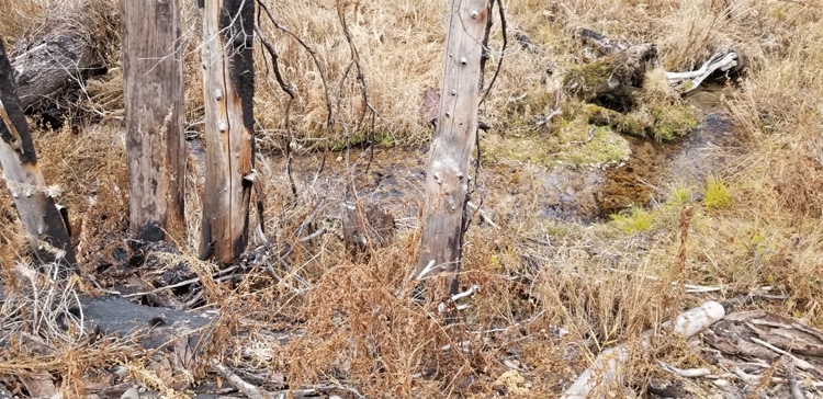
These mining claims are situated on West Beaver Creek, which is positioned about 20 miles outside of the historic mining town of Idaho City. With easy access and pavement (HWY 21) to all but the last few feet to the claims, with a well-maintained NF 393 forest service access road that extends up Beaver Creek through the claims. Beaver Creek has a strong history of prospecting during various gold rush eras (late 1800s, 1930s & 1980s), which is one of the many gold bearing tributaries of the “Crooked River” drainage, contributing to the wealth of gold discovered in the Boise Basin. But don’t just take our word for it, seeing nice color in each pan sample, speaks for itself. It is also well known for its recreational activities, with cross country skiing, fishing, hunting, mountain biking, atving trails & snowshoeing along with public yurts scattered throughout the area. Again just a short 30 min (21 mile) drive outside of Idaho City.
These two mining claims (equaling 30 acres total) are being sold as a bundle for $3,500, but offers, to purchase the mining claims individually could also be considered.
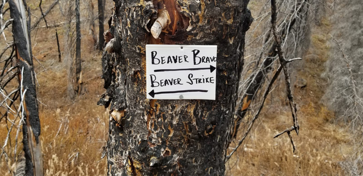
Beaver Strike
Sold
- Acreage: 20 acre unpatented placer claim
- River footage: 1400’ of Beaver Creek
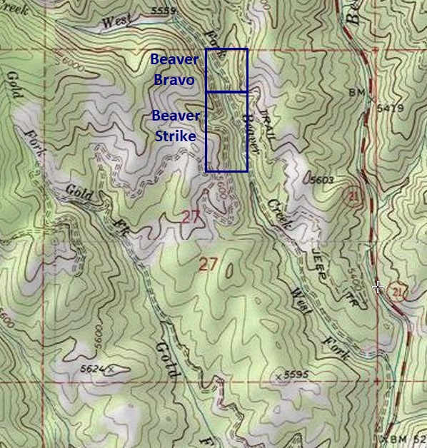
- Location: Boise County, Township 8N, Range 7E, Sec. 27 NE ¼
- Mining claim serial #: ID106332601
Map to Claim
Coordinates
Marker Degrees, Minutes, Seconds
NW 44°00’23.0760″N, -115°37’00.5160″W
NE 44°00’23.0760″N, -115°36’51.7320″W
SE 44°00’10.4040″N, -115°36’51.7320″W
SW 44°00’10.4040″N, -115°37’00.5160″W
Marker Latitude & Longitude
NW 44.00641’N, -115.61681’W
NE 44.00641’N, -115.61437’W
SE 44.00289’N, -115.61437’W
SW 44.00289’N, -115.61681’W
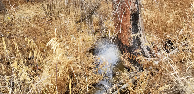
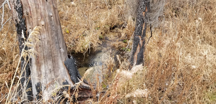
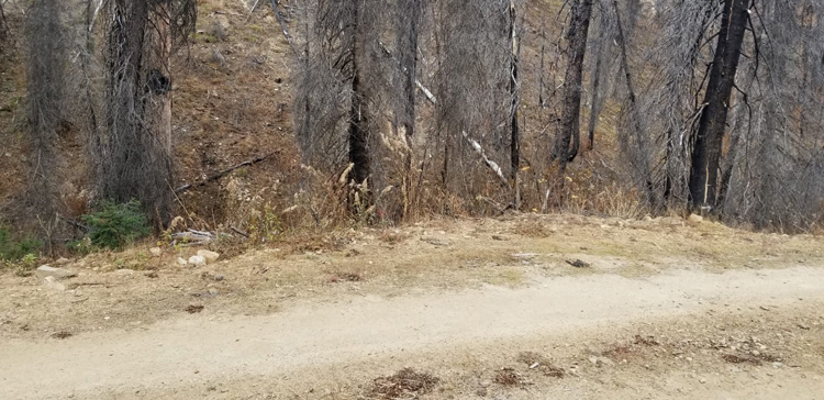
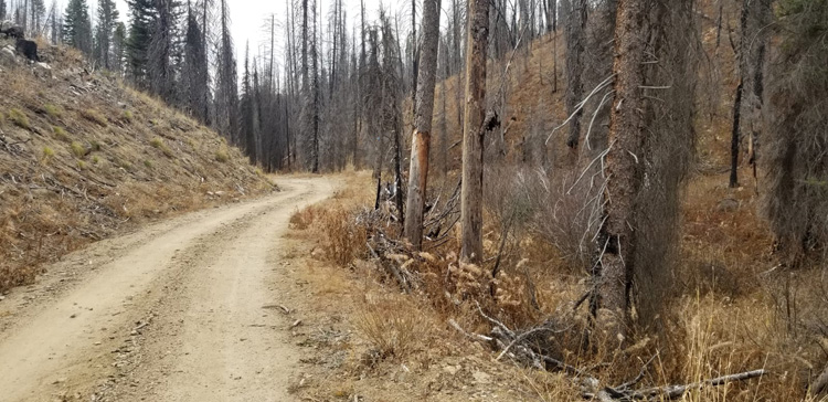
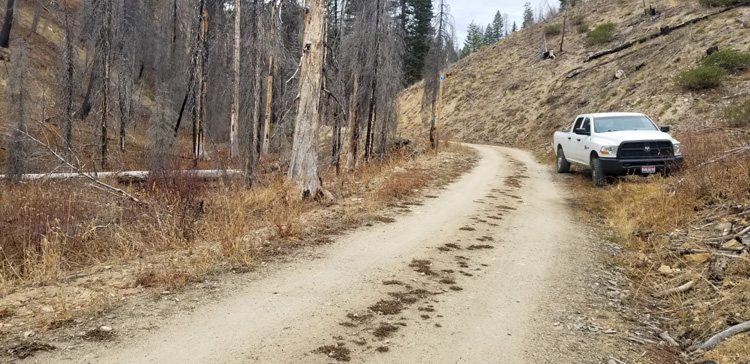
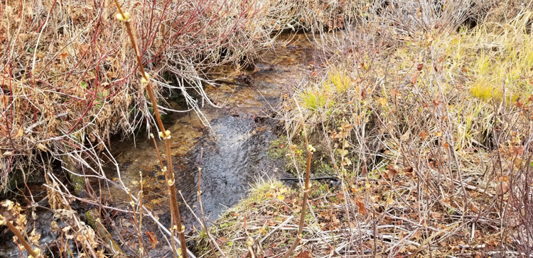
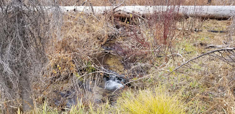
Images
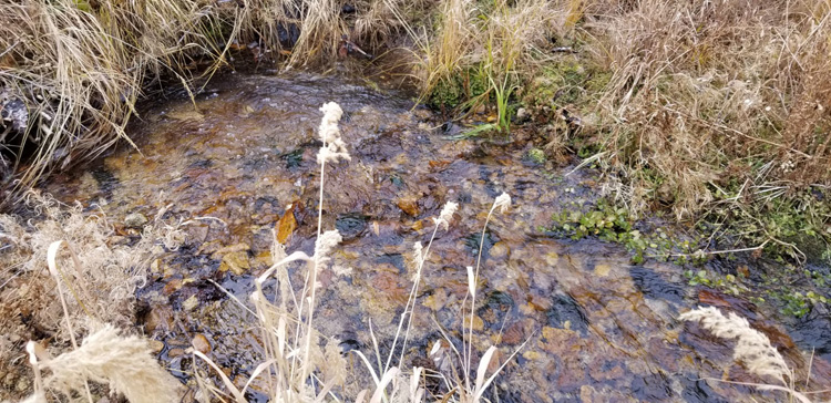
Beaver Bravo
Sold
- Acreage: 10 acre unpatented placer claim
- River footage: 750’ of Beaver Creek
- Location: Boise County, Township 8N, Range 7E, Sec. 27 NE ¼
- Mining claim serial #: ID106332602
Map to Claim
Coordinates
Marker Degrees, Minutes, Seconds
NW 44°00’29.6280″N, -115°37’00.5160″W
NE 44°00’29.6280″N, -115°36’51.7320″W
SE 44°00’23.0760″N, -115°36’51.7320″W
SW 44°00’23.0760″N, -115°37’00.5160″W
Marker Latitude & Longitude
NW 44.00823’N, -115.61681’W
NE 44.00823’N, -115.61437’W
SE 44.00641’N, -115.61437’W
SW 44.00641’N, -115.61681’W
Aerial & Topo Images


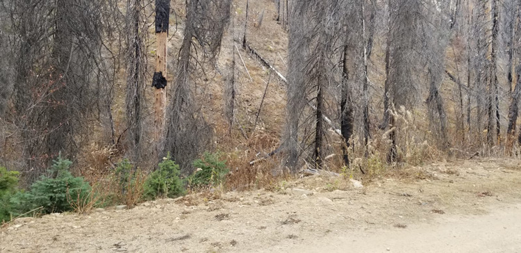
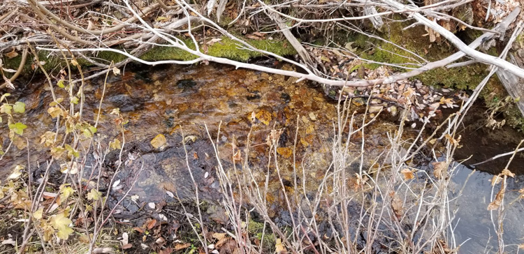
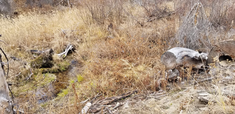
Images
Show me the Gold
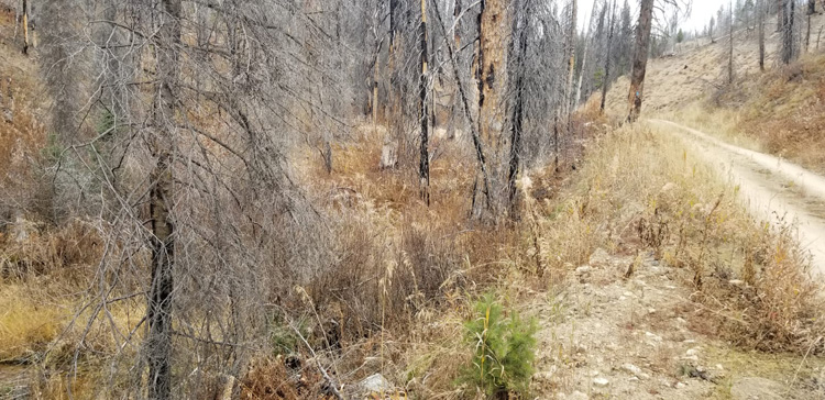
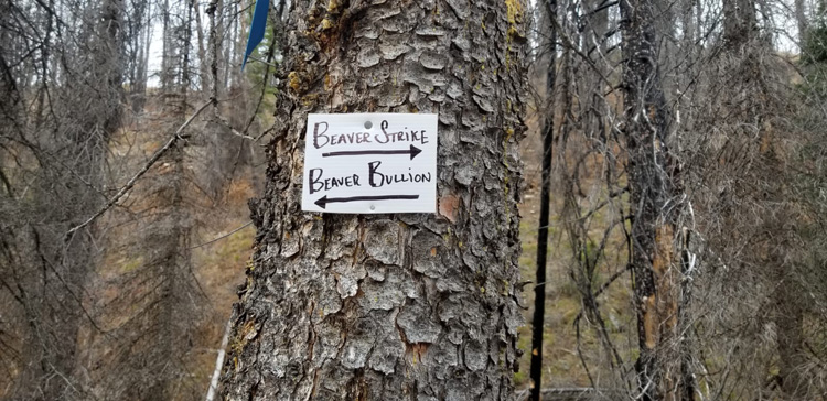
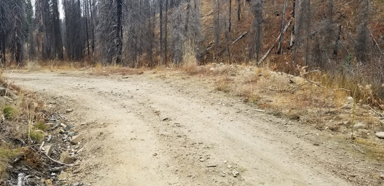
Driving Directions: from Boise, travel north on HWY 21 to Idaho City (approximately 34 miles from I-84 Continue on HWY 21 for an additional 20 miles past Idaho City and turn left (northwest) onto NF 393 road, (about 2.5 miles past Edna Creek Campground), there is a large park & ski area at this turn. Continue on the NF 393 for approximately 0.8 of a mile to the Beaver Strike mining claim. Signs have been placed on the creek side of the road identifying the side boundaries, along with corner markers posts.