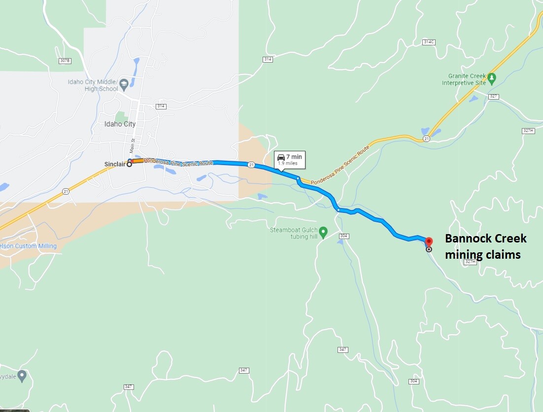
Bannock Creek Claims
Idaho City Sold
Overview
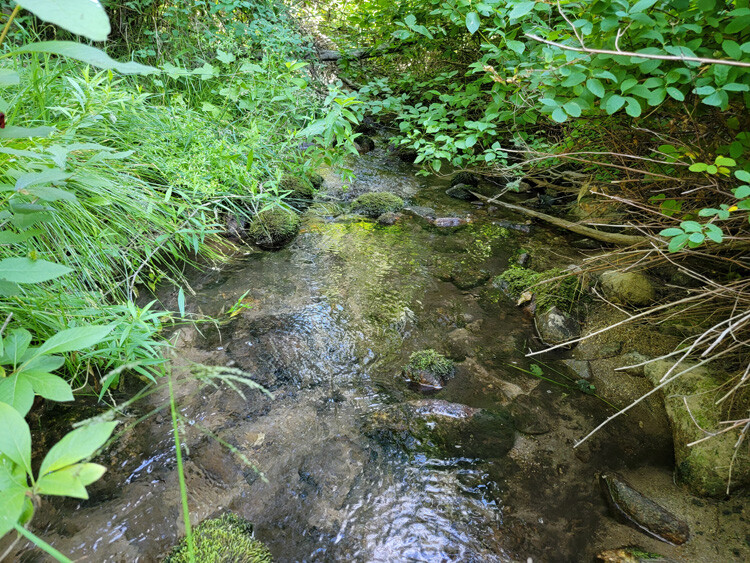
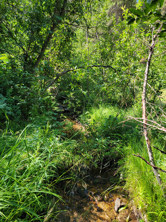
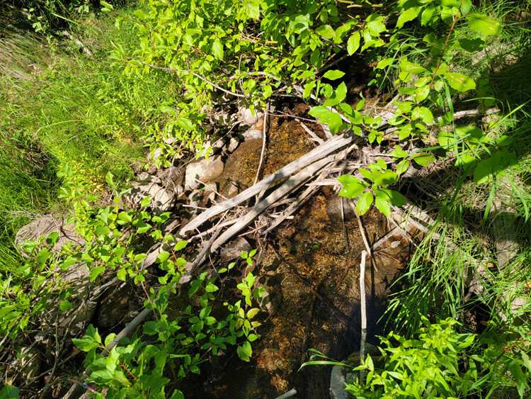
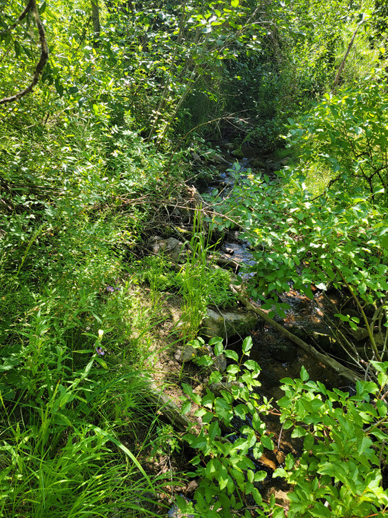
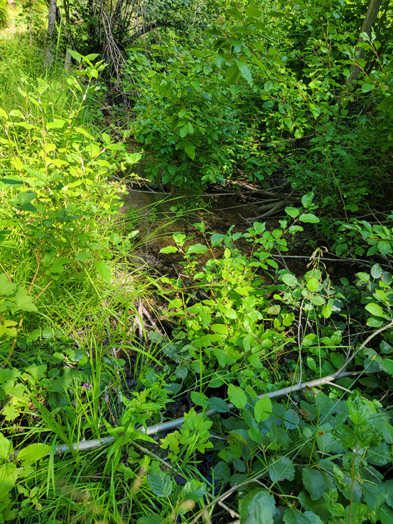
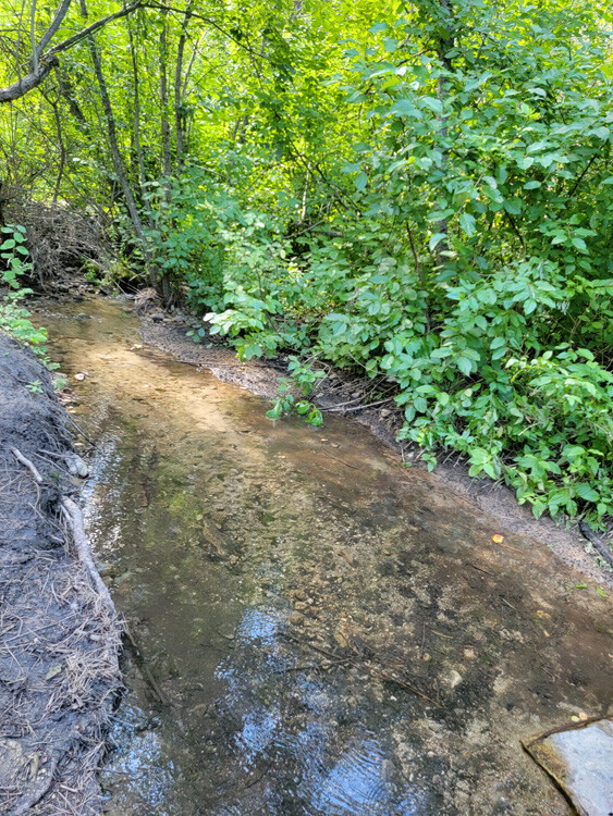
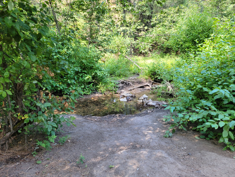
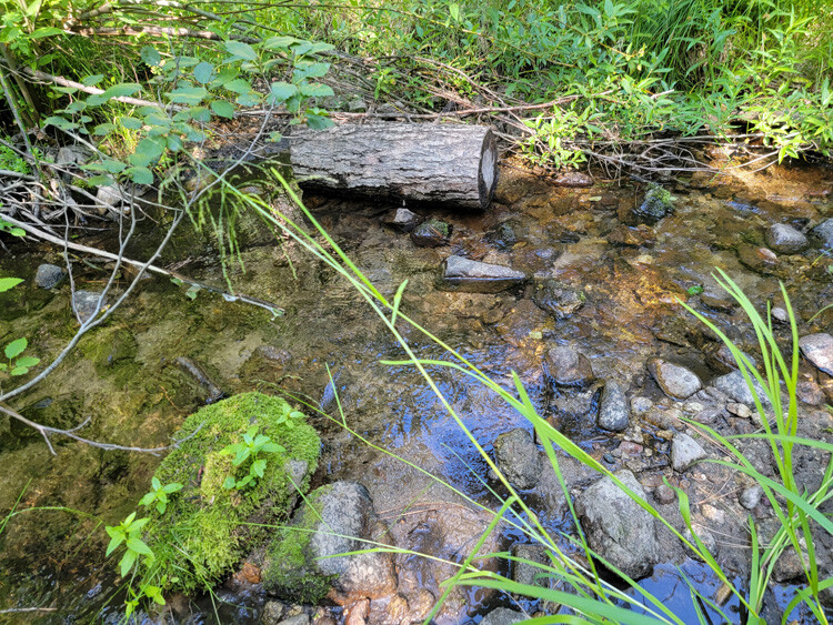
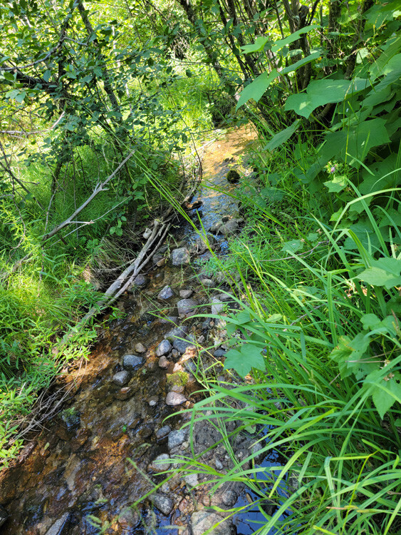
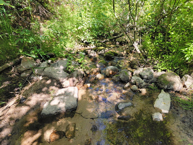
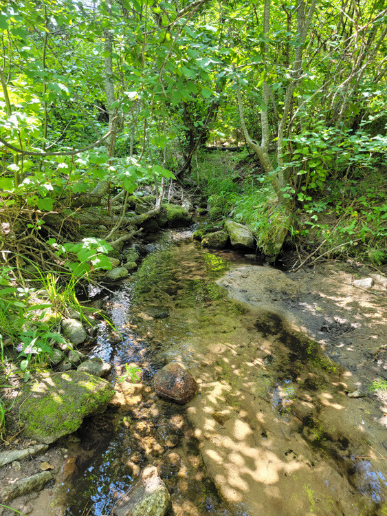
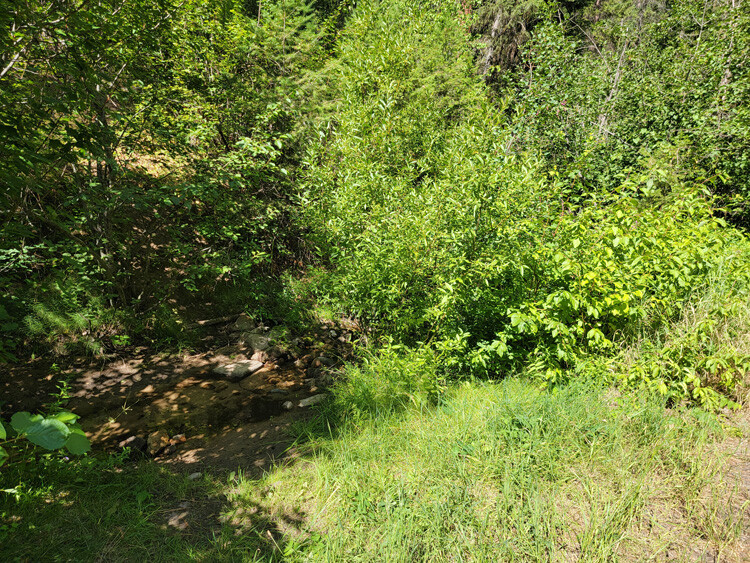
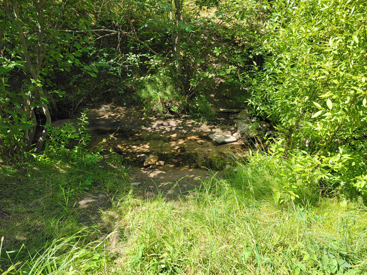
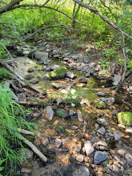
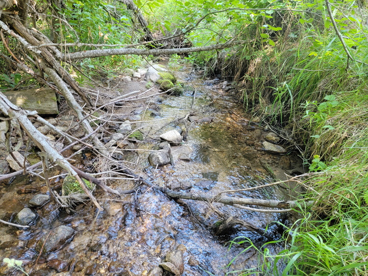
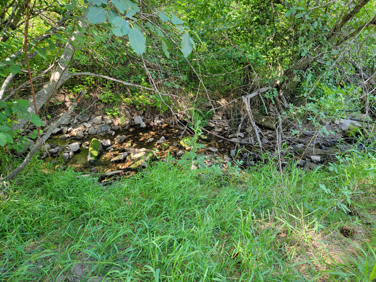
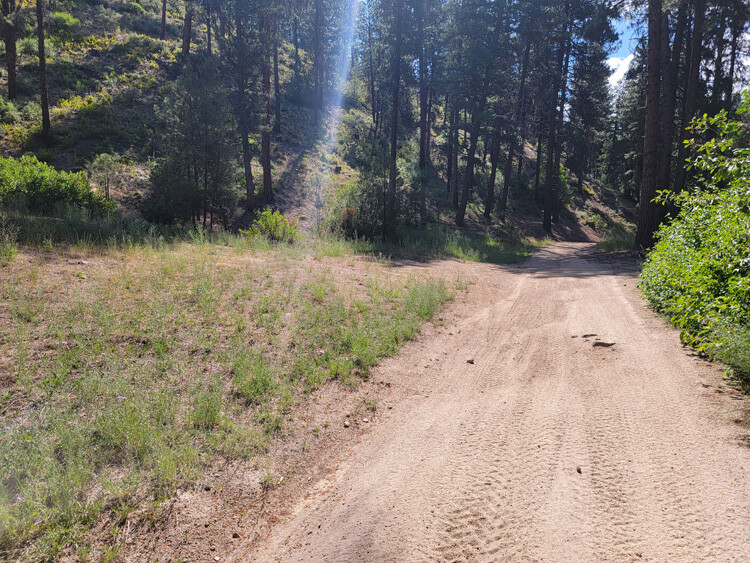
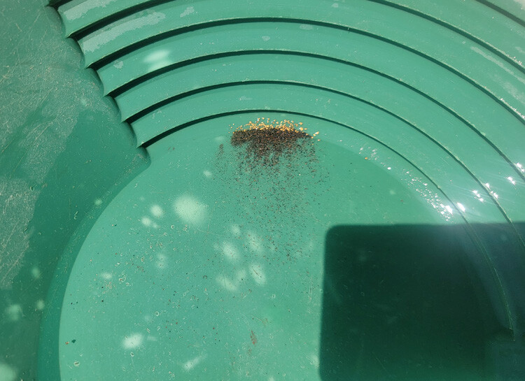
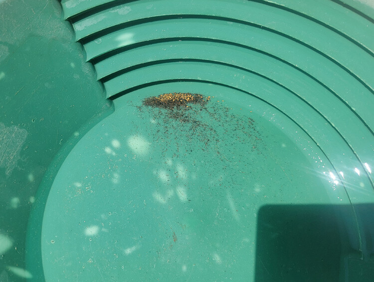
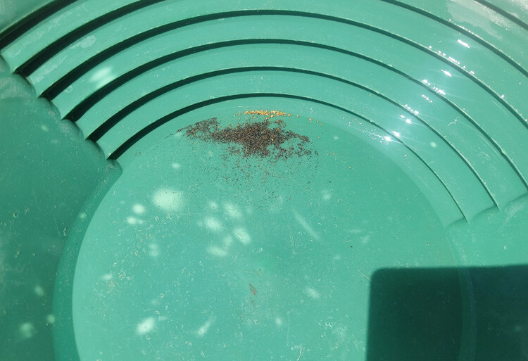
These mining claims are situated on Bannock Creek, which is a gold bearing tributary of Mores Creek. Another nice feature, is they are situated only about 2 miles outside of Idaho City (which has full services) on a body of water that is also open to dredging. There are a few camping areas directly “on” these two remaining available mining claims, so lots of options for your camping needs. The pictures were taken in mid-summer, so as you can see, ample water for dredging or high-banking. The gold in the pictures was taken from a 2.5 hour high-banking operation.
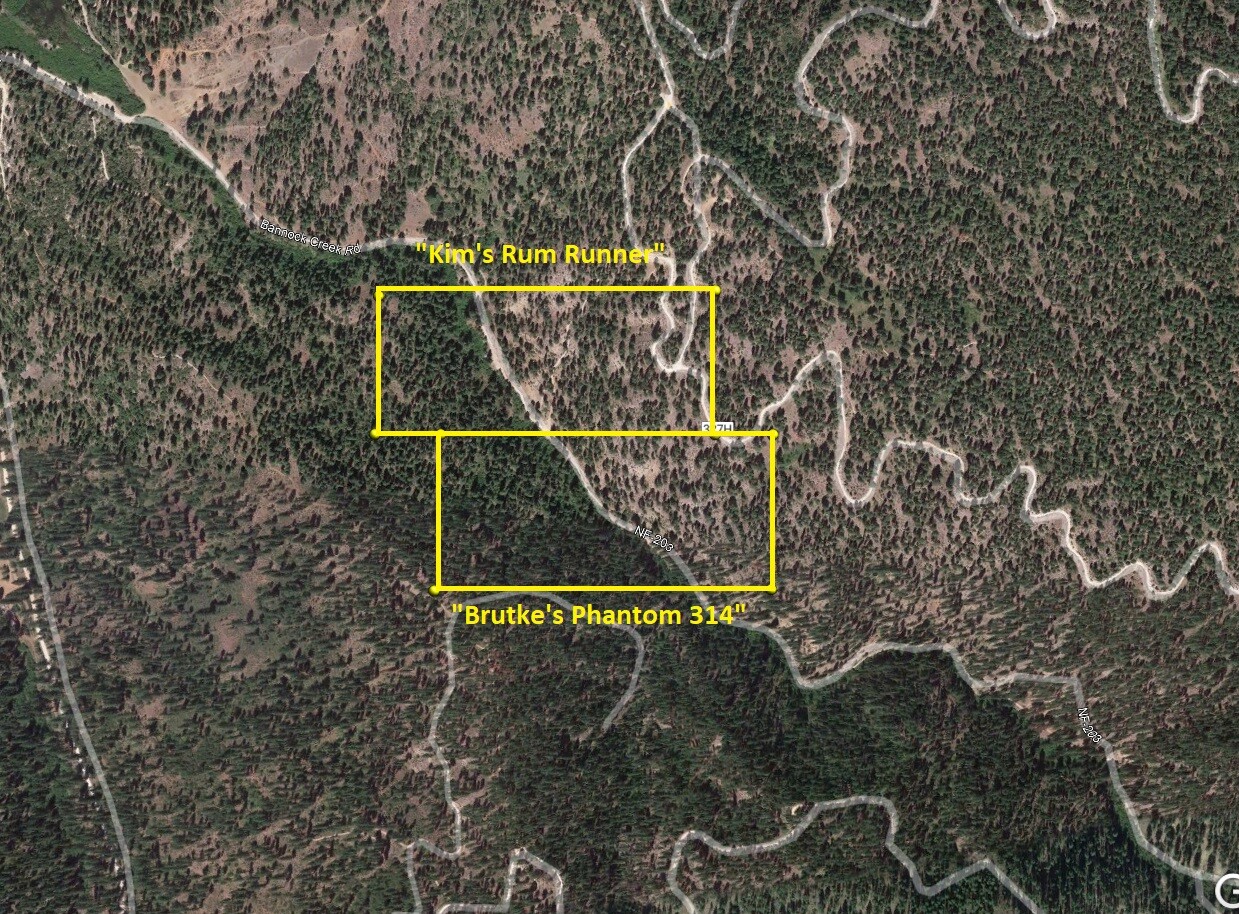
Kim’s Rum Runner
Sold
- Acreage: 20 acre unpatented placer claim
- River footage: 750’ + Bannock Creek - Camping area on claim
- Location: Boise County, Township 6N, Range 6E, Sec.31, NW ¼
- Mining claim serial #: ID105296302
Map to Claim
Coordinates
Marker Latitude & Longitude
NW 43.81850’N, -115.80101’W
NE 43.81850’N, -115.79547’W
SE 43.81685’N, -115.79547’W
SW 43.81685’N, -115.80101’W
Marker Degrees, Minutes, Seconds
NW 43°49’06.6000″N, -115°48’03.6360″W
NE 43°49’06.6000″N, -115°47’43.6920″W
SE 43°49’00.6600″N, -115°47’43.6920″W
SW 43°49’00.6600″N, -115°48’03.6360″W
Images
Brutke’s Phantom 314
Sold
- Acreage: 20 acre unpatented placer claim
- River footage: 900’ + Bannock Creek - Camping area on claim
- Location: Boise County, Township 6N, Range 6E, Sec.31, NW ¼
- Mining claim serial #: ID105296300
Map to Claim
Coordinates
Marker Latitude & Longitude
NW 43.81685’N, -115.79993’W
NE 43.81685’N, -115.79455’W
SE 43.81505’N, -115.79455’W
SW 43.81505’N, -115.79993’W
Marker Degrees, Minutes, Seconds
NW 43°49’00.6600″N, -115°47’59.7480″W
NE 43°49’00.6600″N, -115°47’40.3800″W
SE 43°48’54.1800″N, -115°47’40.3800″W
SW 43°48’54.1800″N, -115°47’59.7480″W
Images
Bannock Riches
Sold
- Acreage: 20 acre unpatented placer claim
- River footage: 1300’ Bannock Creek
- Location: Boise County, Township 6N, Range 6E, Sec.31, SW ¼
- Mining claim serial #: ID105296301
Map to Claim
Coordinates
Marker Latitude & Longitude
NW 43.81505’N, -115.79719’W
NE 43.81505’N, -115.79212’W
SE 43.81322’N, -115.79212’W
SW 43.81322’N, -115.79719’W
Marker Degrees, Minutes, Seconds
NW 43°48’54.1800″N, -115°47’49.8840″W
NE 43°48’54.1800″N, -115°47’31.6320″W
SE 43°48’47.5920″N, -115°47’31.6320″W
SW 43°48’47.5920″N, -115°47’49.8840″W
Show Me The Gold
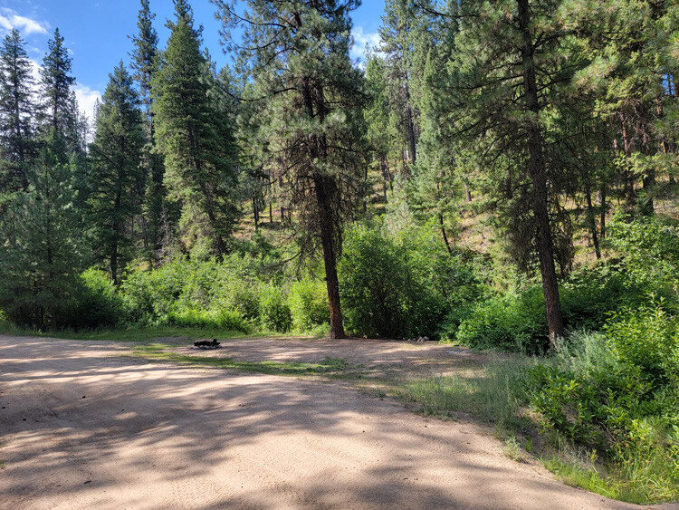
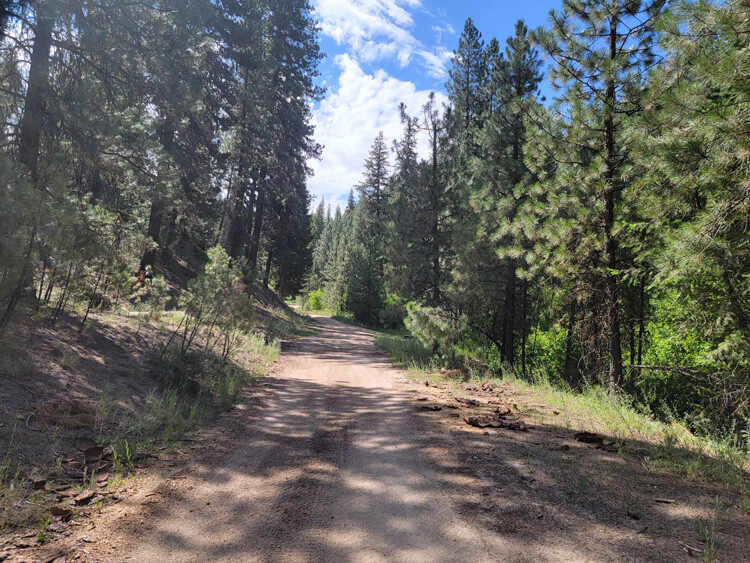
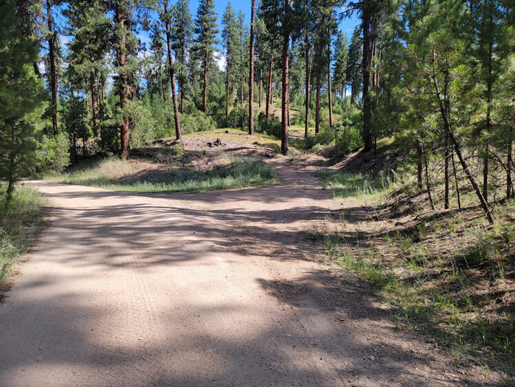
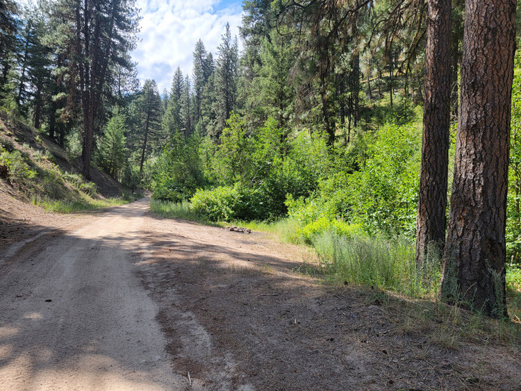
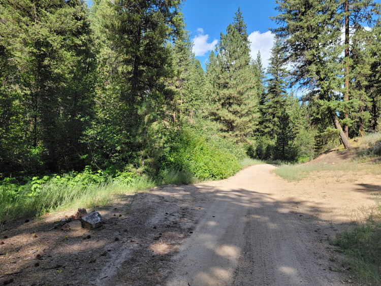
Driving Directions from Boise: Take HWY 21 (from I-84 Exit 57), north out of Boise for 35 miles, or about 1 miles past Idaho City. Turn right (east) onto Bannock Creek Road (NF304 turning into NF203), and stay on this for about 0.9 of a mile until you reach the mining claims. Just after the bridge, you will come to a junction (looks like a fork), the main NF 203 (to these claims) is on the left fork. You will also come to an opening (just past the state cabled off fence on the right), where it appears there is another fork, stay right. After going around the bend, be looking for a faded steel sign on the left (says Ace In the Hole III), this is the north boundary to Kim’s Run Runner. The road eventually tapers down to more of an ATV trail (midway through Brutke’s Phantom 314), where you will also find an open gate.