Price: $2,000 - $3,000
AvailableBanner Creek
Overview
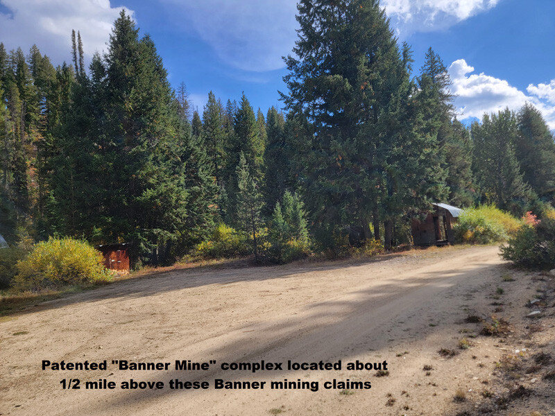
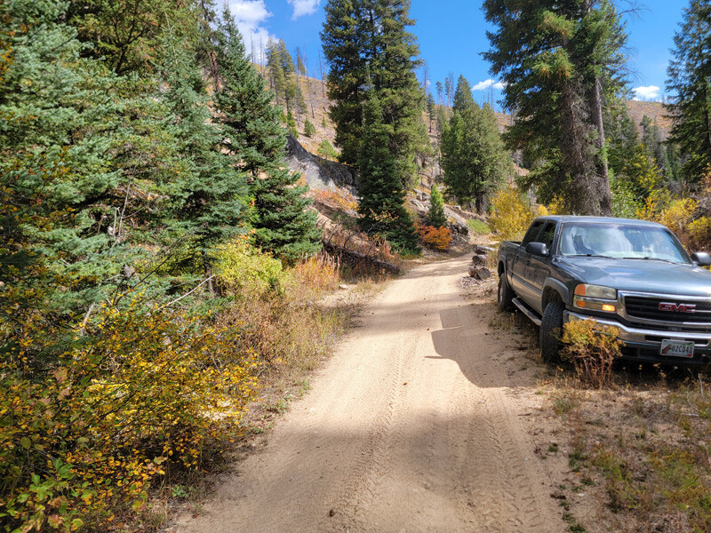
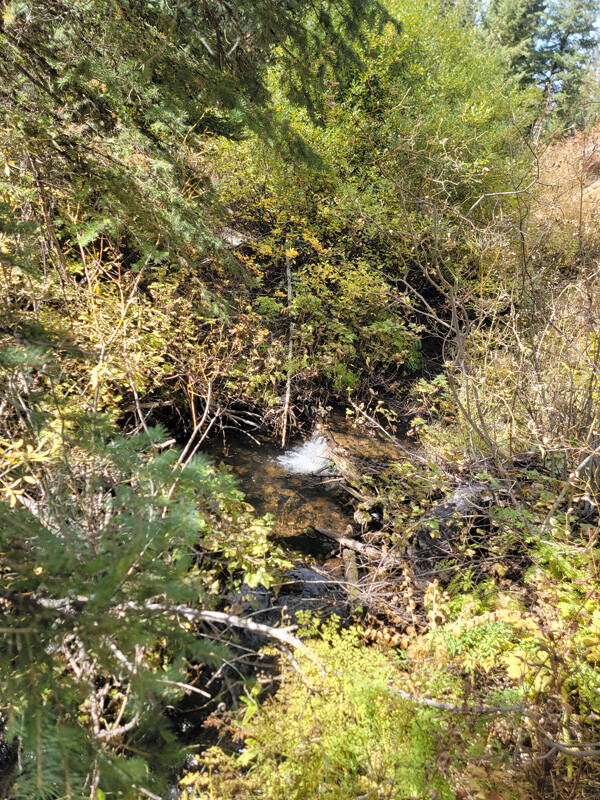
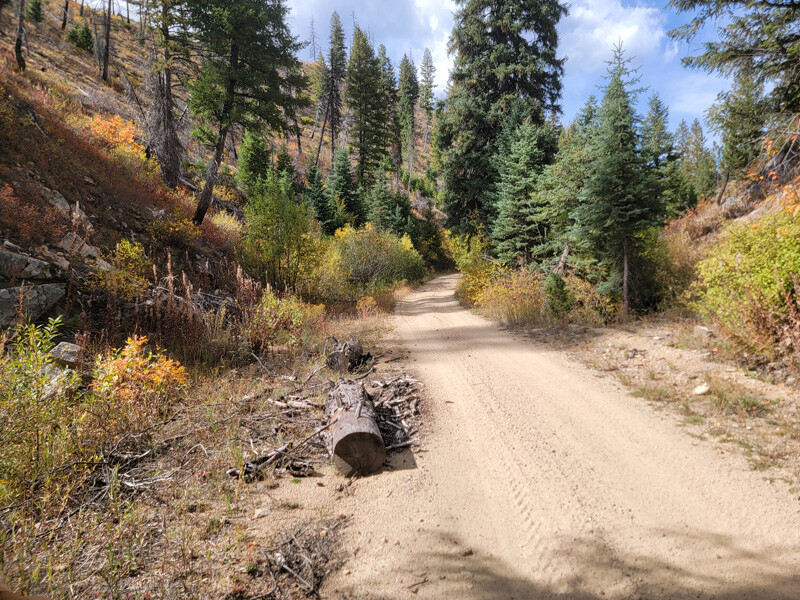
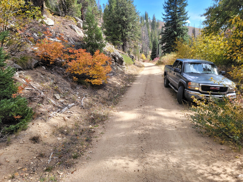
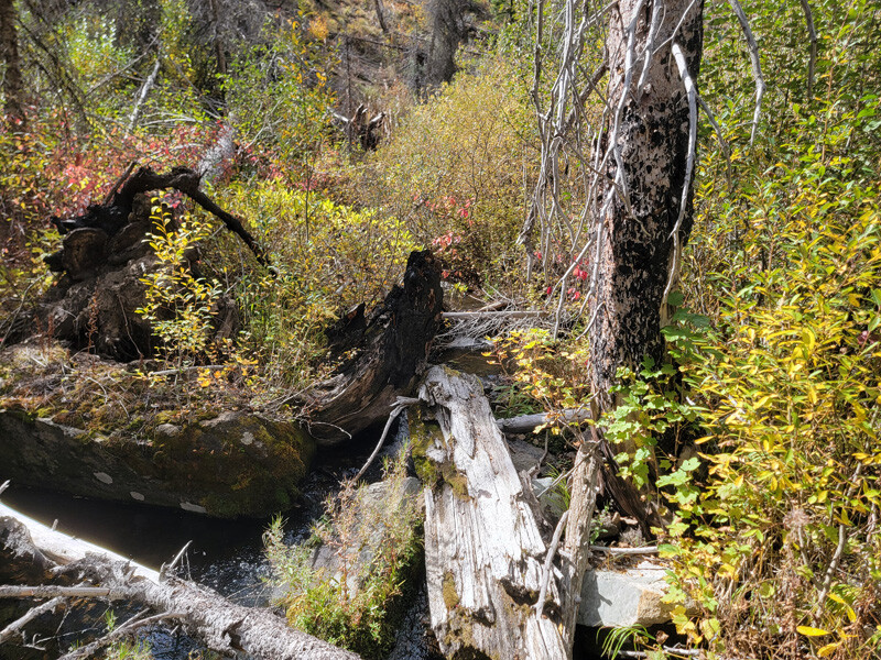
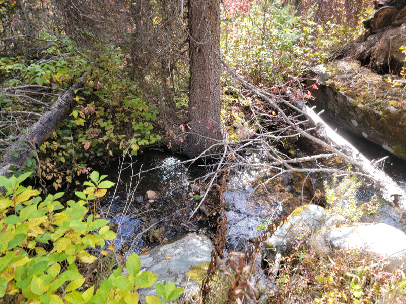
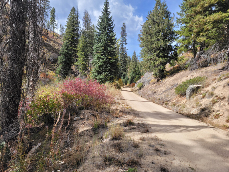
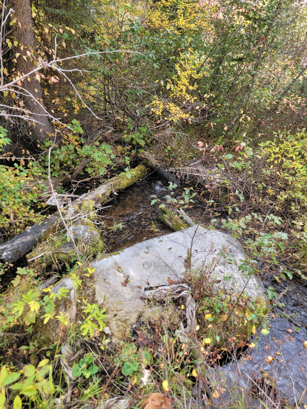
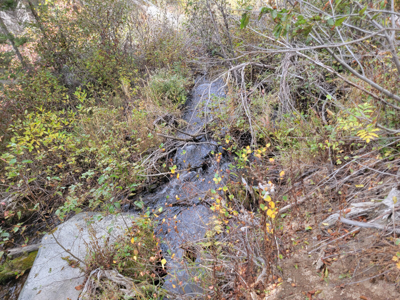
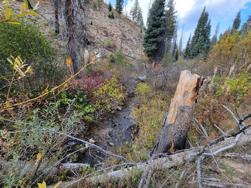
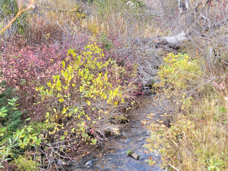
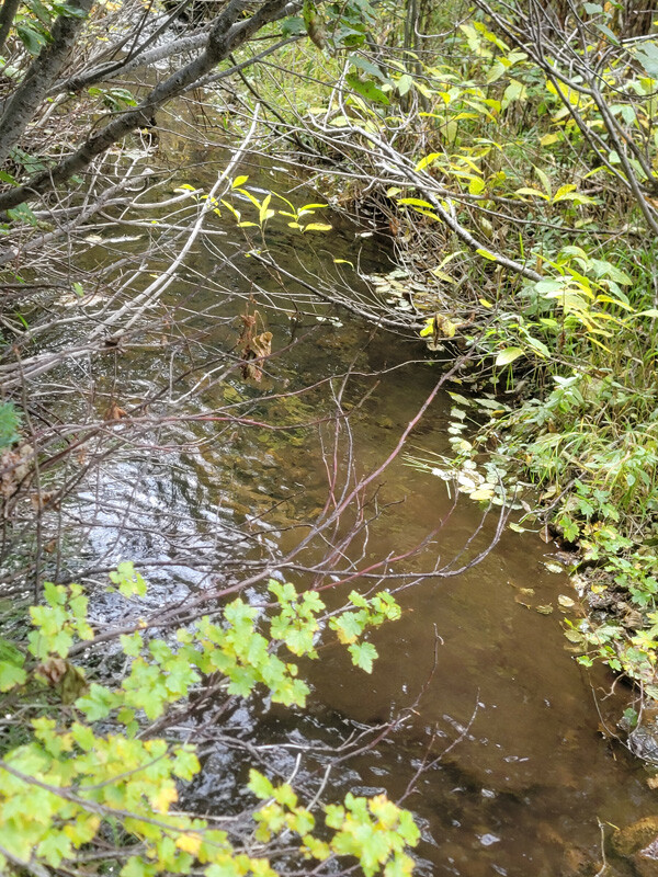
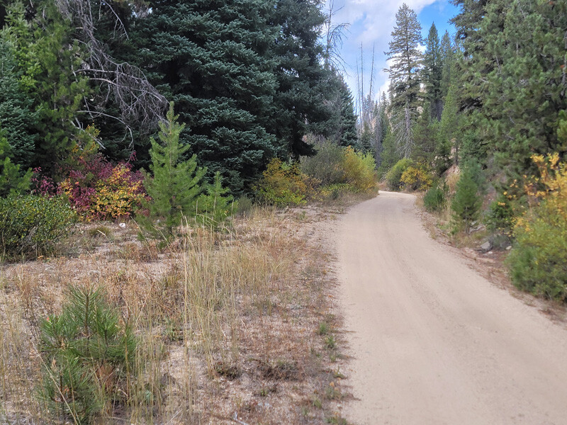
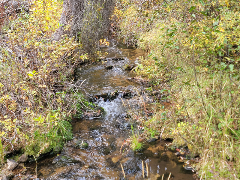
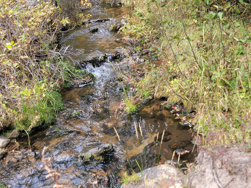
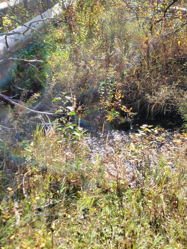
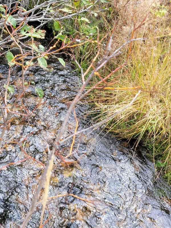
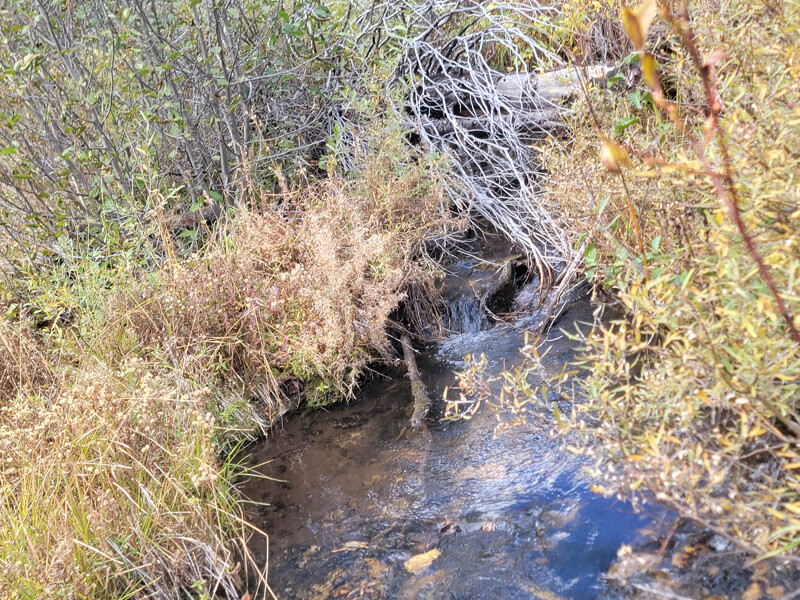
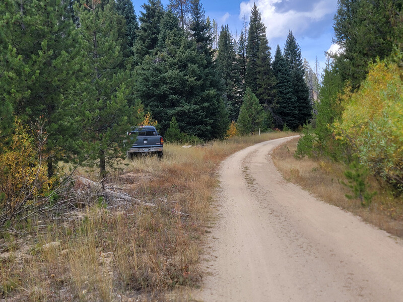
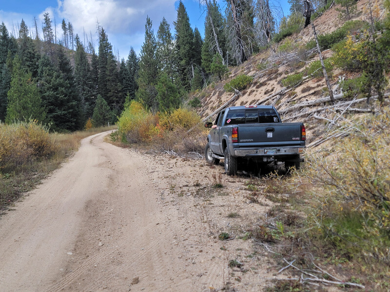
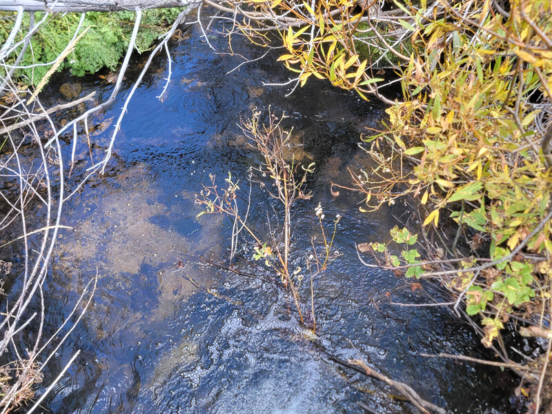
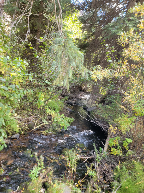
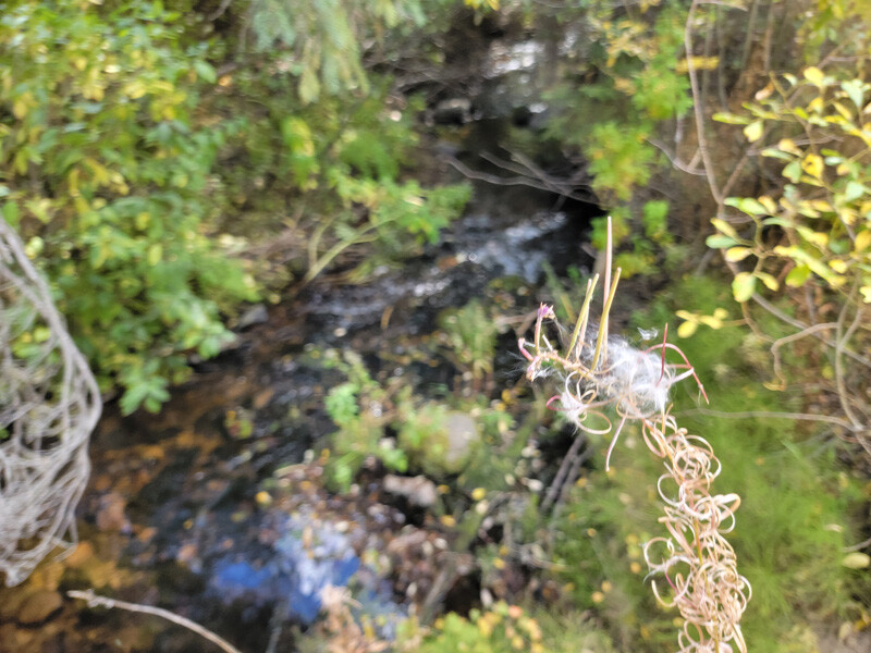
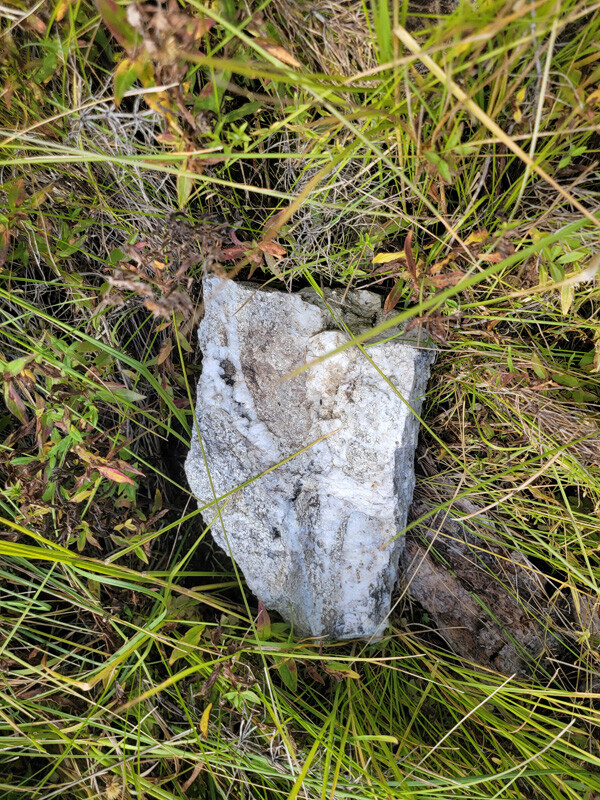
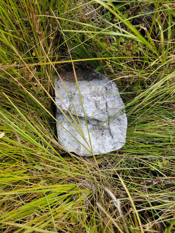
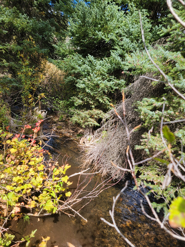
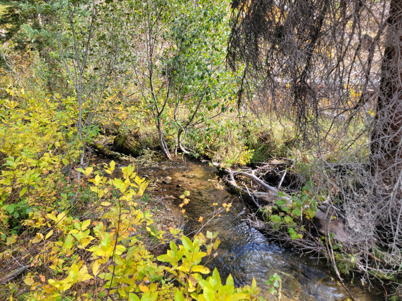
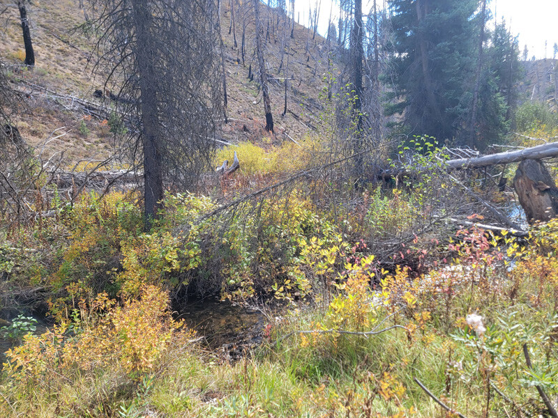
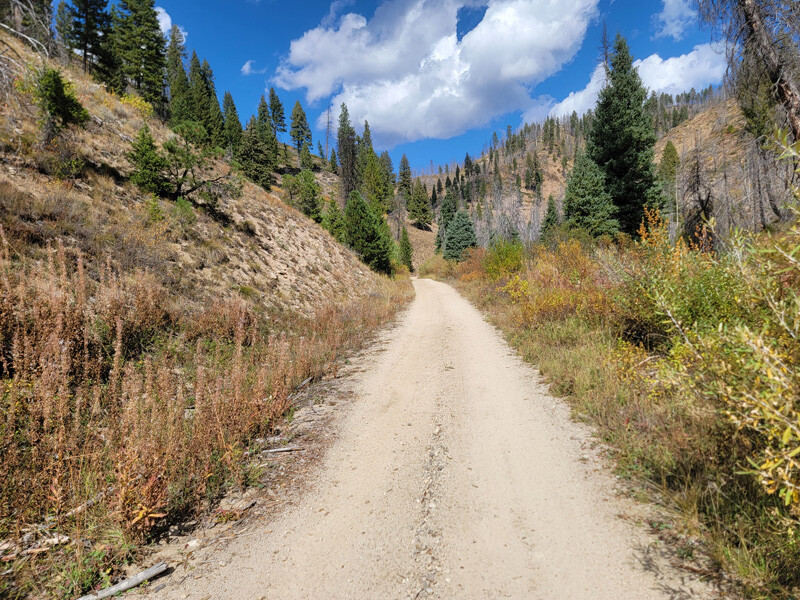
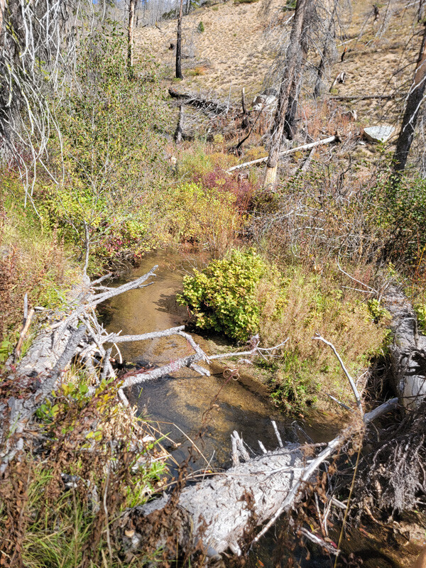
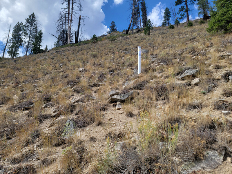
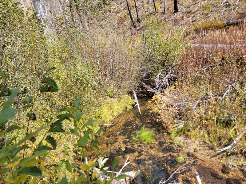
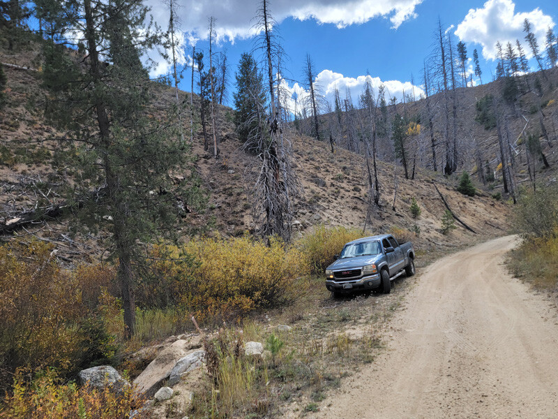
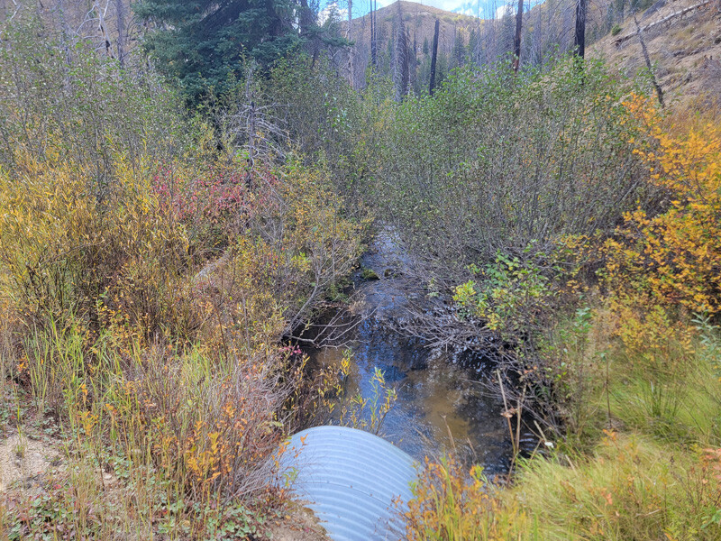
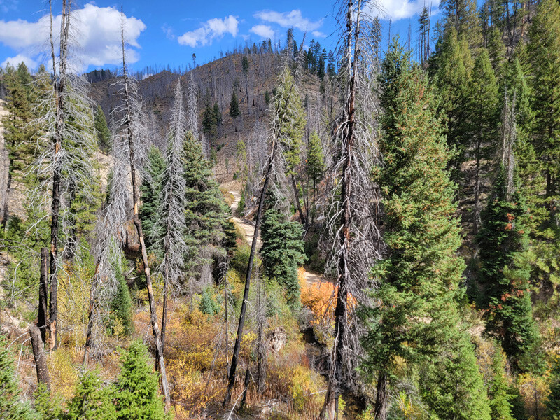
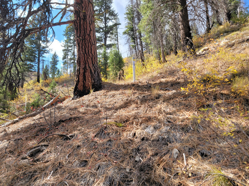
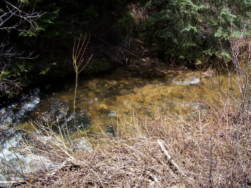
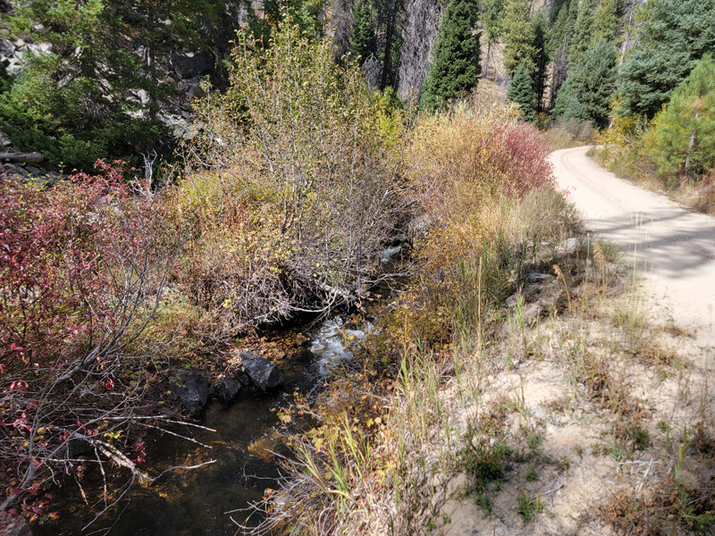
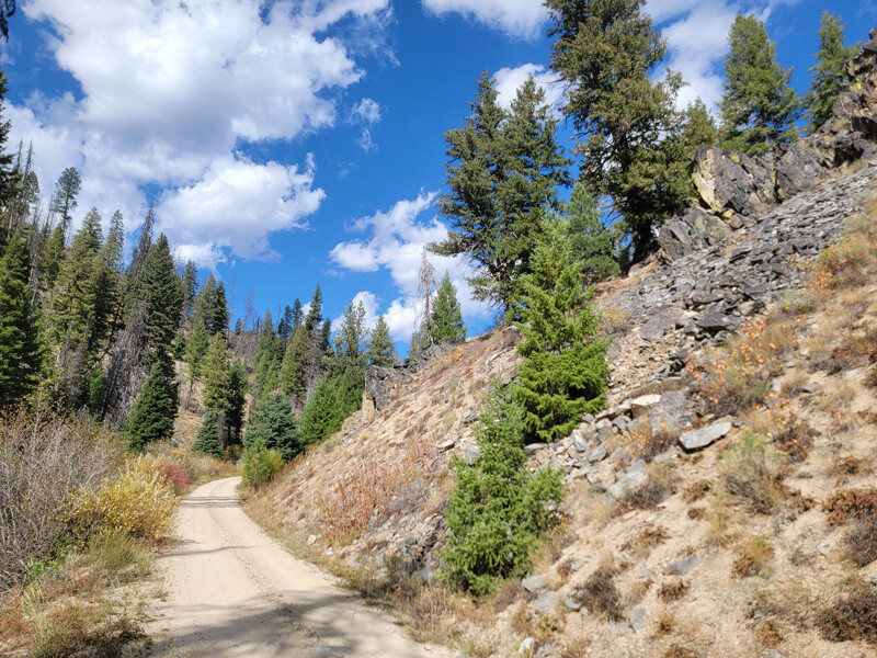
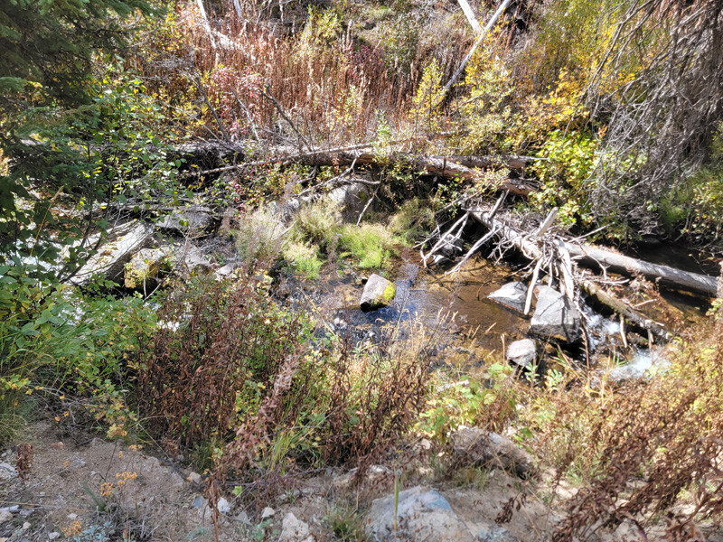
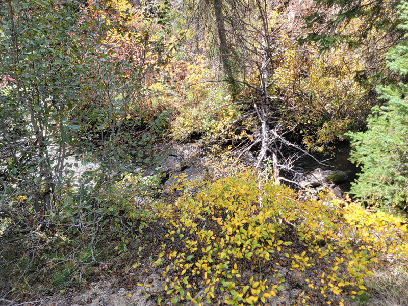
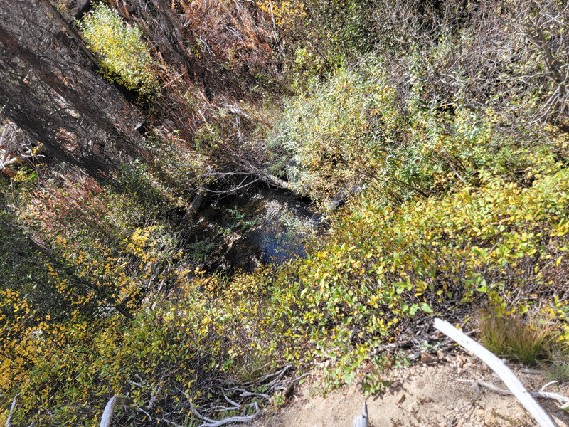
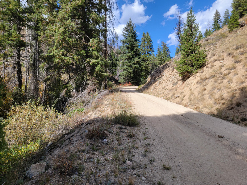
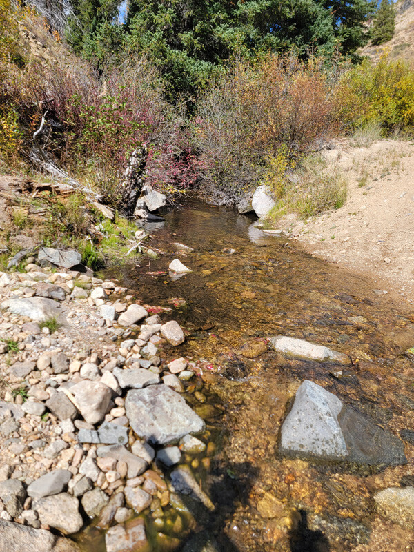
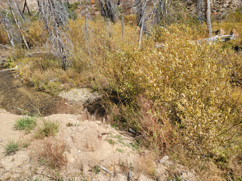
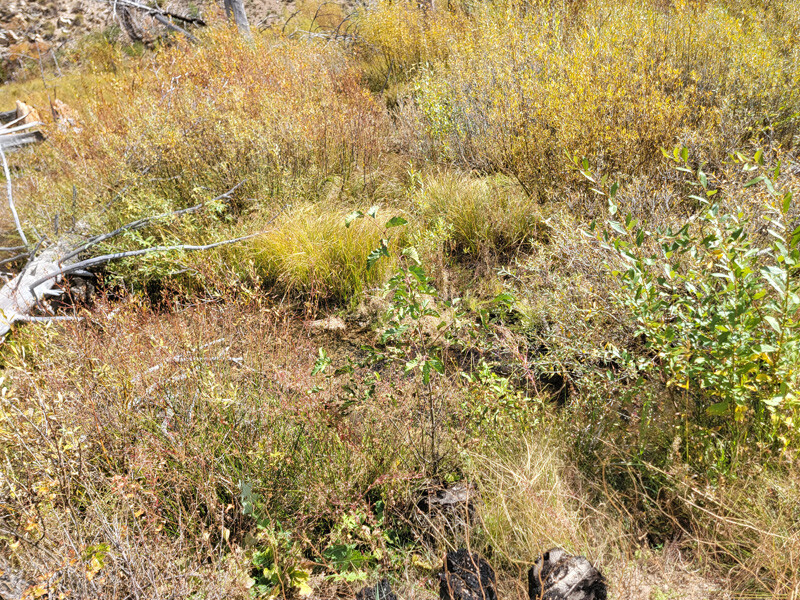
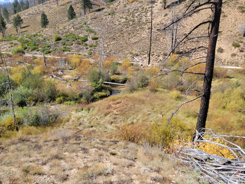
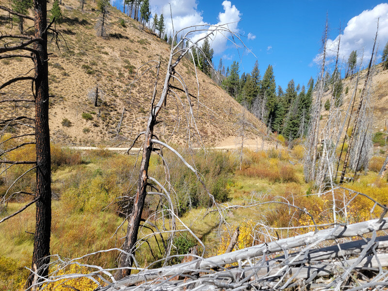
These 5 mining claims are located on Banner Creek approximately ¾ of a mile below the patented Banner mine, which is a gold bearing tributary of the Crooked River. With the amount of history that this drainage already has, from the dozens of mining claims we have listed over the years, not much more really needs said. These pictures where taken in the fall (2026 when water is at its lowest), so as you can see, there is ample year-round water. These claims have a well graded road going across both of these mining claims. Most of the claims have pullouts or areas to set up camp (with very minimal work).
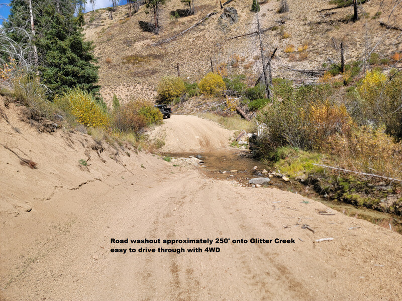
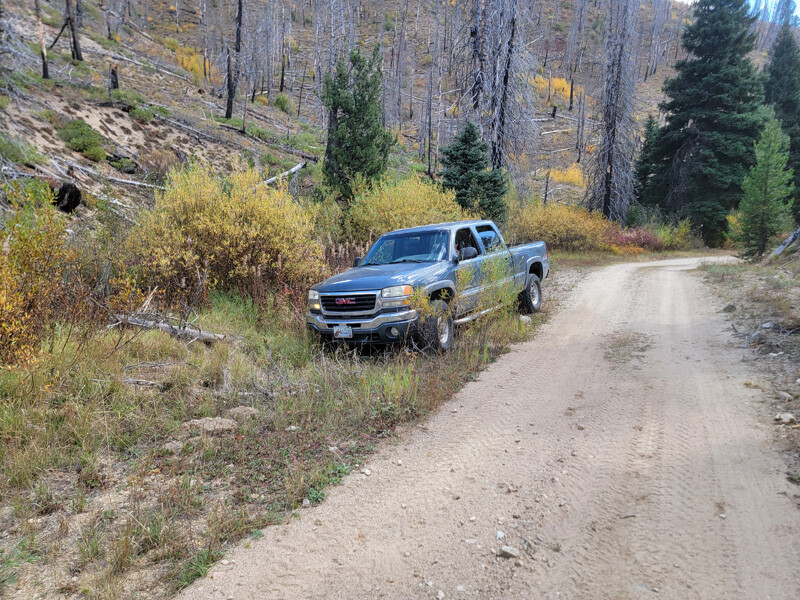
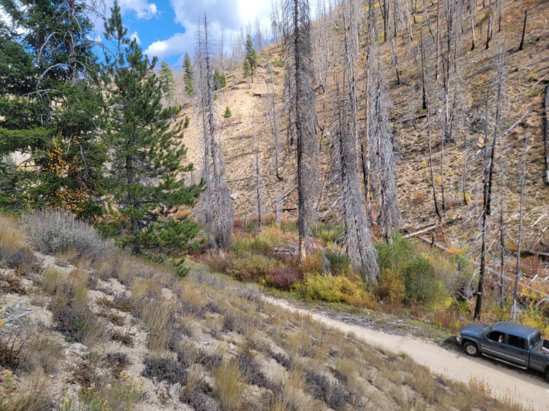
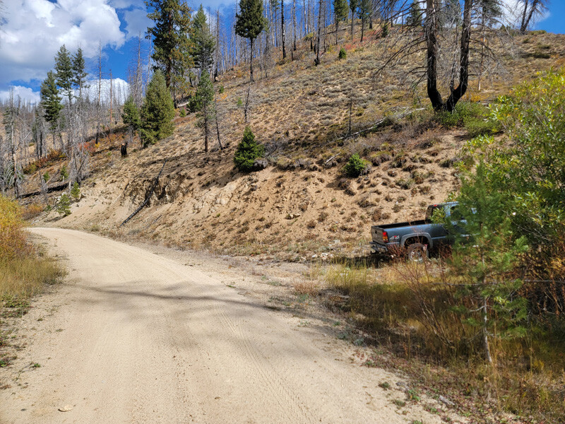
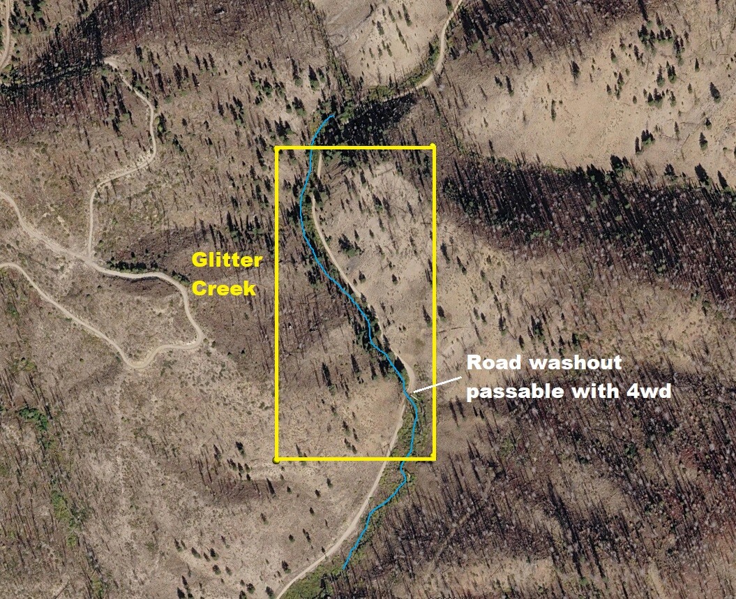
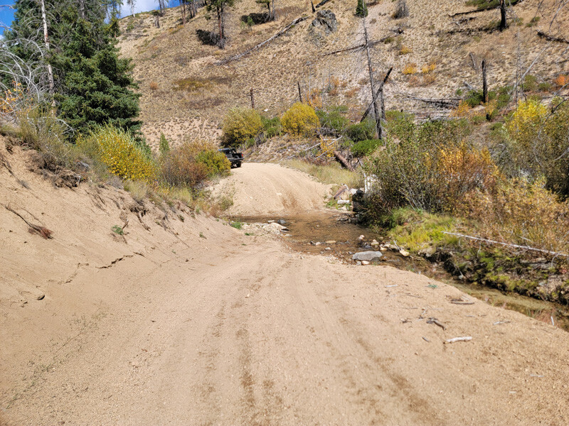
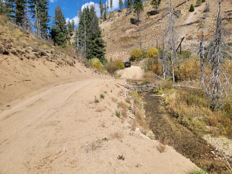
At the Pikes Fork junction the Forest Service has put up an A-frame road closed sign off of the road (about 0.75 of a mile before reaching the claims), this was due to the bridge culvert washing out in the spring of 2017. Around that same time, in late 2016, the Pioneer Fire came through and you will see how much of the vegetation had been burned out. However, as a mining claim owner, you are allowed to be back on your claim, while the general public has to abide by these closures. Later the Forest Service also put up new gates (just on either side of this washout), to again keep the general public out. However, over the last couple years, Forest Service has reopened those gates and also graded the washout on either side, so that 4WD can still pass through. So while the A-frame road closed sign is still up (because the culvert hasn’t been replaced), the road is still open. There is a second route accessing these claims from NF 385 (further north), coming from this direction there are no signs restricting access to the general public (all the way to the washout). We witnessed several vehicles passing through the washout as these pictures were taken.
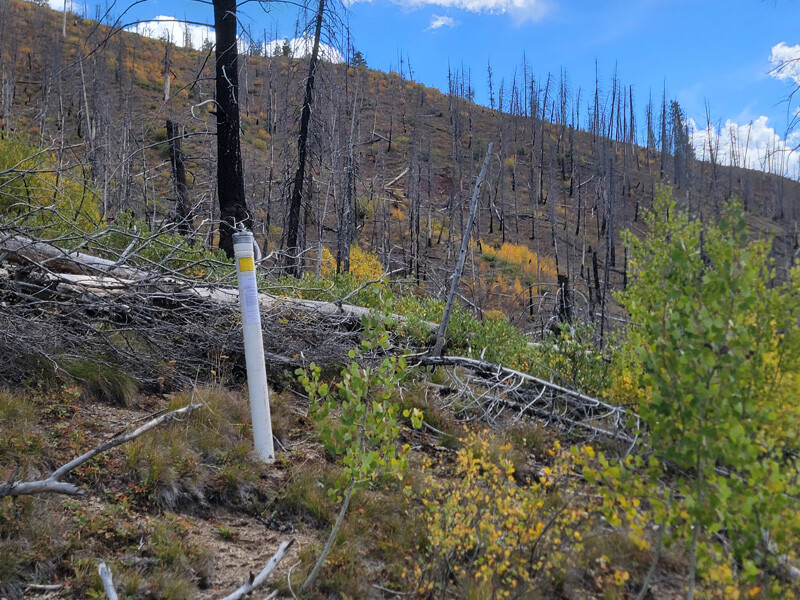
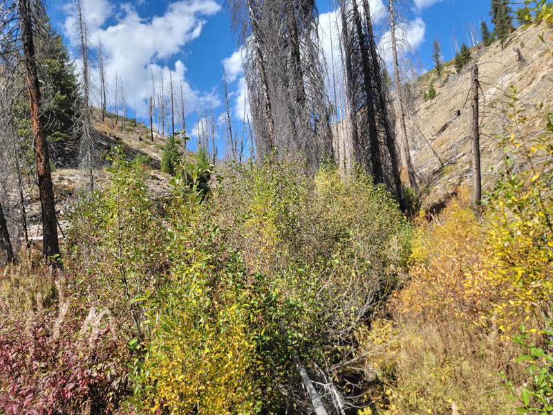
As it has been 10 years since the fire, you will see from the recent pictures, this area has already started to green up and come back. You can also read more about the “Crooked River”, but clicking directly on the highlighted “Crooked River” region name.
We will offer bundle of $250 off each additional mining claim.
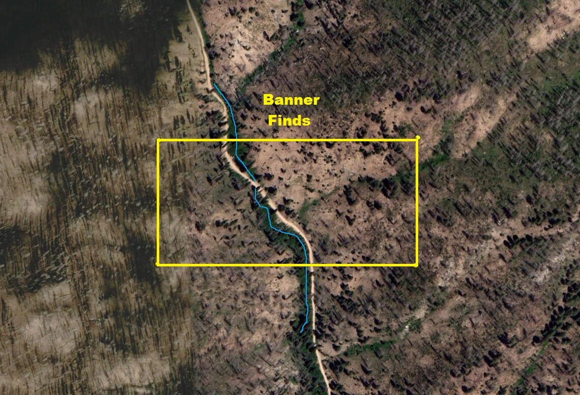
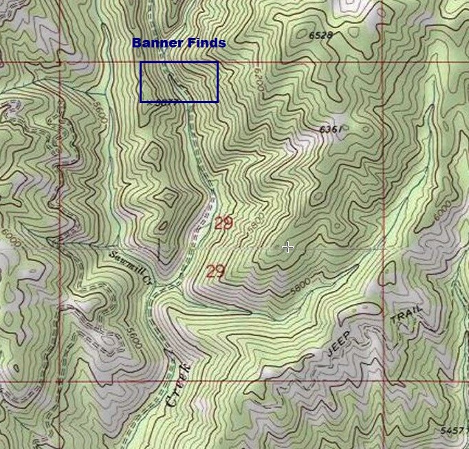
Banner Finds
Price: $2,000
- Acreage: 20 acre unpatented placer mining claim
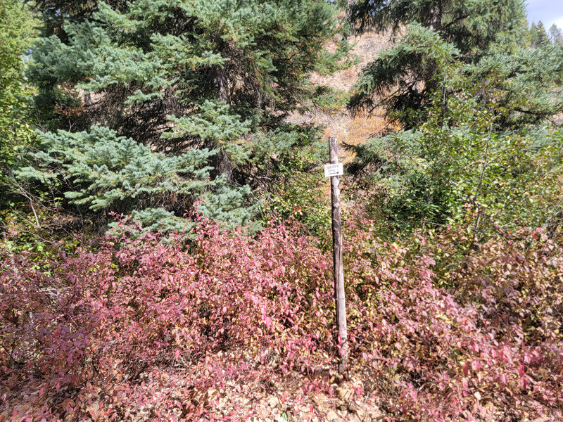
- River footage: 850‘ of Banner Creek Couple pullouts on claim
- Location: Boise County, Township 8N, Range 8E, Sec. 29, NW & SW ¼s
- Mining claim serial #: ID106852028
Map to Claim
Coordinates
Marker Degrees, Minutes, Seconds
NW 44°00’29.9880”N, -115°32’37.2480″W
NE 44°00’29.9880”N, -115°32’18.7440″W
SE 44°00’23.5440”N, -115°32’18.7440″W
SW 44°00’23.5440”N, -115°32’37.2480″W
Marker Latitude & Longitude
NW 44.00833°N, -115.54368°W
NE 44.00833°N, -115.53854°W
SE 44.00654°N, -115.53854°W
SW 44.00654°N, -115.54368°W
Aerial & Topo Images
Images
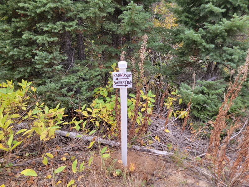
Banner Gold
Price: $3,000
- Acreage: 20 acre unpatented placer claim
- River footage: 1500‘ of Banner Creek - 2 Large camping areas & pullouts on claim
- Location: Boise County, Township 8N, Range 8E, Sec. 29, NW & NE ¼s
- Mining claim serial #: ID10685202
Map to Claim
Coordinates
Marker Degrees, Minutes, Seconds
NW 44°00’23.5440”N, -115°32’28.4640″W
NE 44°00’23.5440”N, -115°32’18.7440″W
SE 44°00’10.4040”N, -115°32’18.7440″W
SW 44°00’10.4040”N, -115°32’28.4640″W
Marker Latitude & Longitude
NW 44.00654°N, -115.54124°W
NE 44.00654°N, -115.53854°W
SE 44.00289°N, -115.53854°W
SW 44.00289°N, -115.54124°W
Aerial & Topo Images
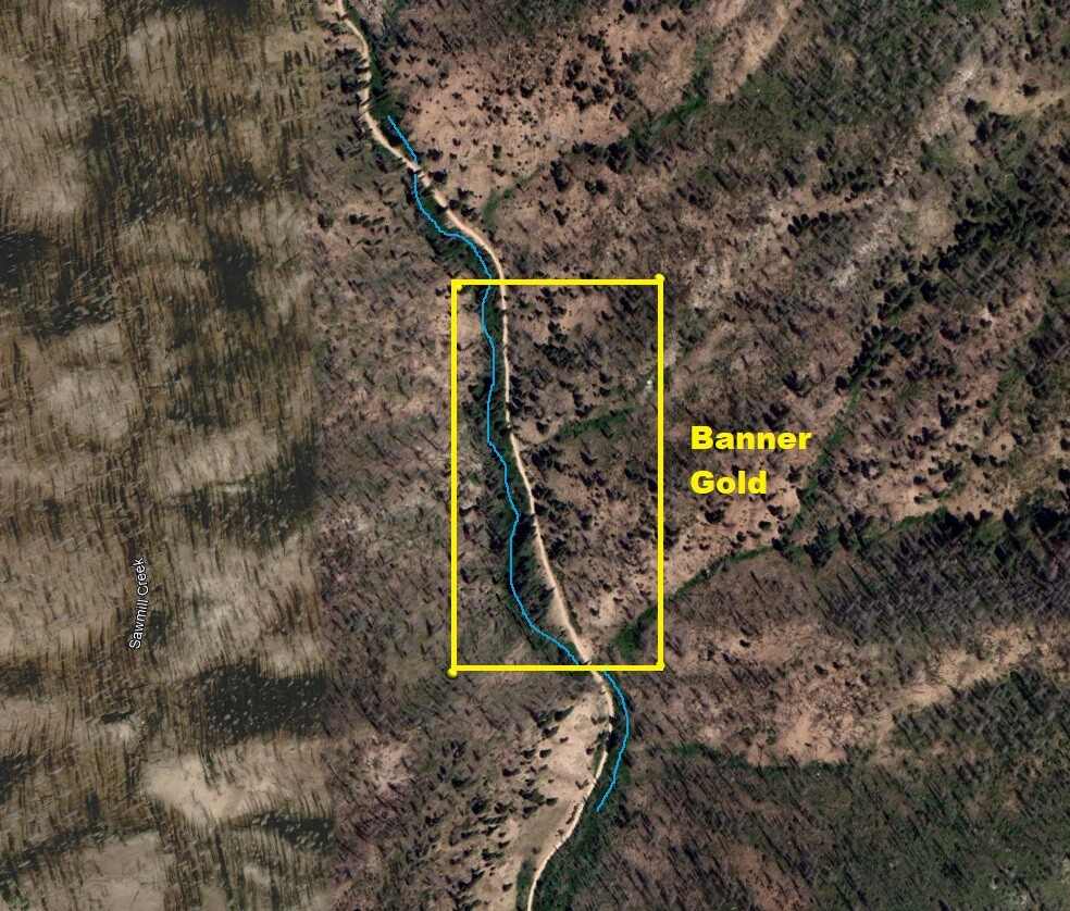
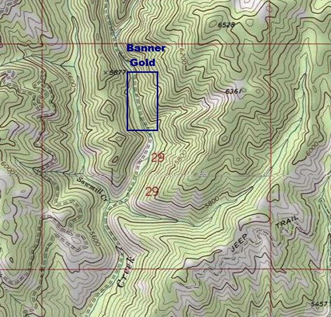
Images
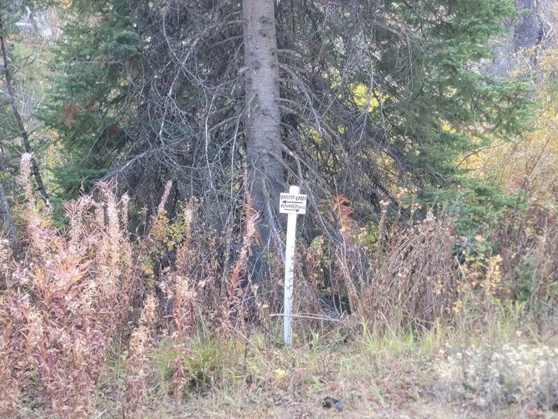
Banner Karats
Price: $2,500
- Acreage: 20 acre unpatented placer claim
- River footage: 1500‘ of Banner Creek - Couple pullouts on claim to develop camp
- Location: Boise County, Township 8N, Range 8E, Sec. 29, NE ¼
- Mining claim serial #: ID106852026
Map to Claim
Coordinates
Marker Degrees, Minutes, Seconds
NW 44°00’10.4040”N, -115°32’28.4640″W
NE 44°00’10.4040”N, -115°32’18.7440″W
SE 43°59’57.5160”N, -115°32’18.7440″W
SW 43°59’57.5160”N, -115°32’28.4640″W
Marker Latitude & Longitude
NW 44.00289°N, -115.54124°W
NE 44.00289°N, -115.53854°W
SE 43.99931°N, -115.53854°W
SW 43.99931°N, -115.54124°W
Aerial & Topo Images
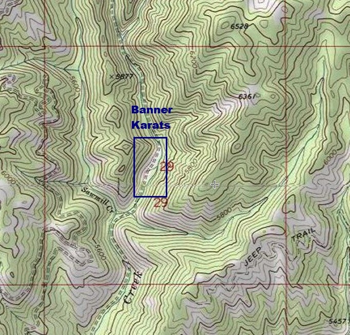
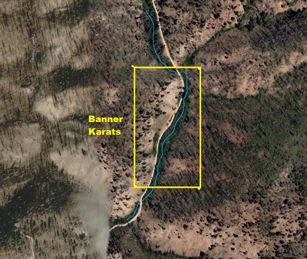
Images
Banner Placers
Price: $2,750
- Acreage: 20 acre unpatented placer claim
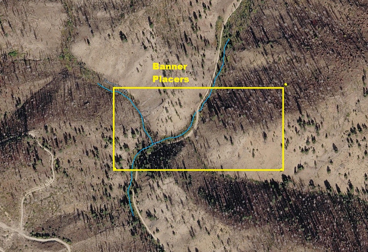
- River footage: 1050‘ of Banner Creek & 550’ of Sawmill Creek - camping area & pullouts on claim
- Location: Boise County, Township 8N, Range 8E, Sec. 29, NE ¼
- Mining claim serial #: ID106852024
Map to Claim
Coordinates
Marker Degrees, Minutes, Seconds
NW 43°59’57.5160”N, -115°32’37.2480″W
NE 43°59’57.5160”N, -115°32’18.7440″W
SE 43°59’50.9640”N, -115°32’18.7440″W
SW 43°59’50.9640”N, -115°32’37.2480″W
Marker Latitude & Longitude
NW 43.99931°N, -115.54368°W
NE 43.99931°N, -115.53854°W
SE 43.99749°N, -115.53854°W
SW 43.99749°N, -115.54368°W
Aerial & Topo Images
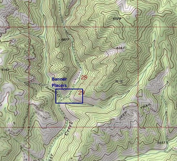
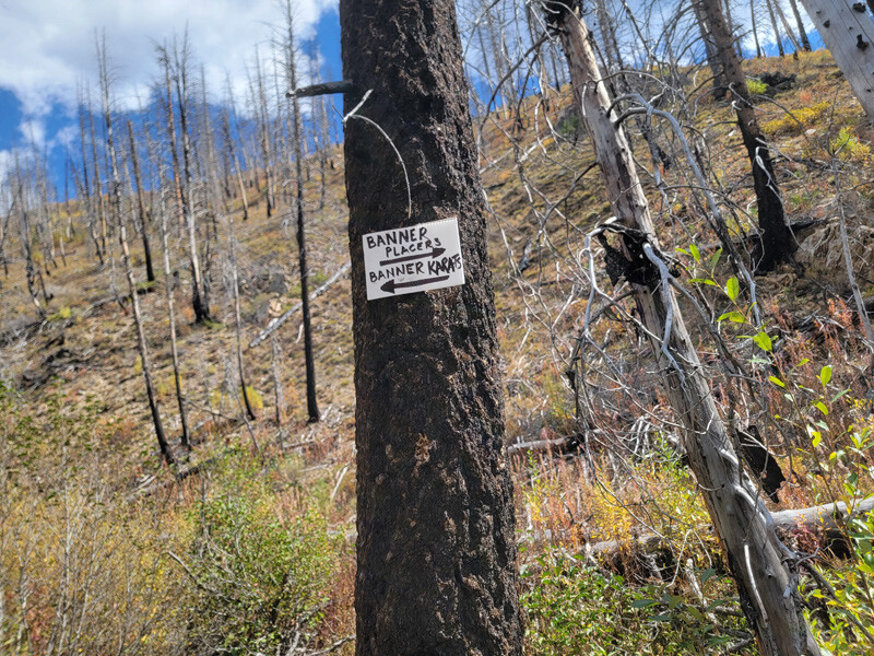
Images
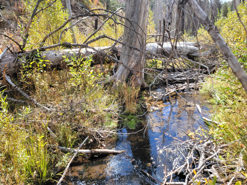
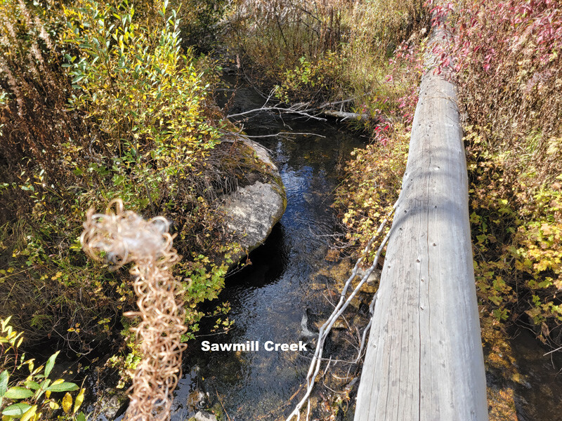
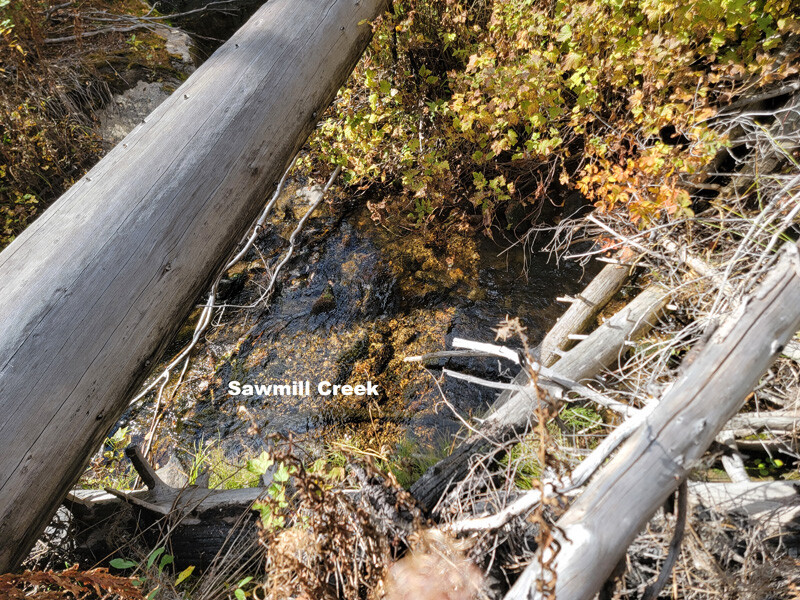
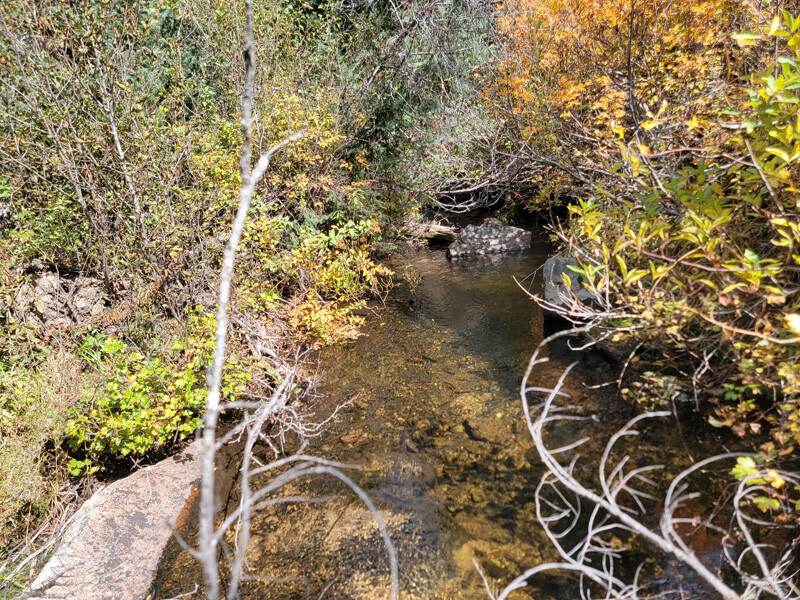
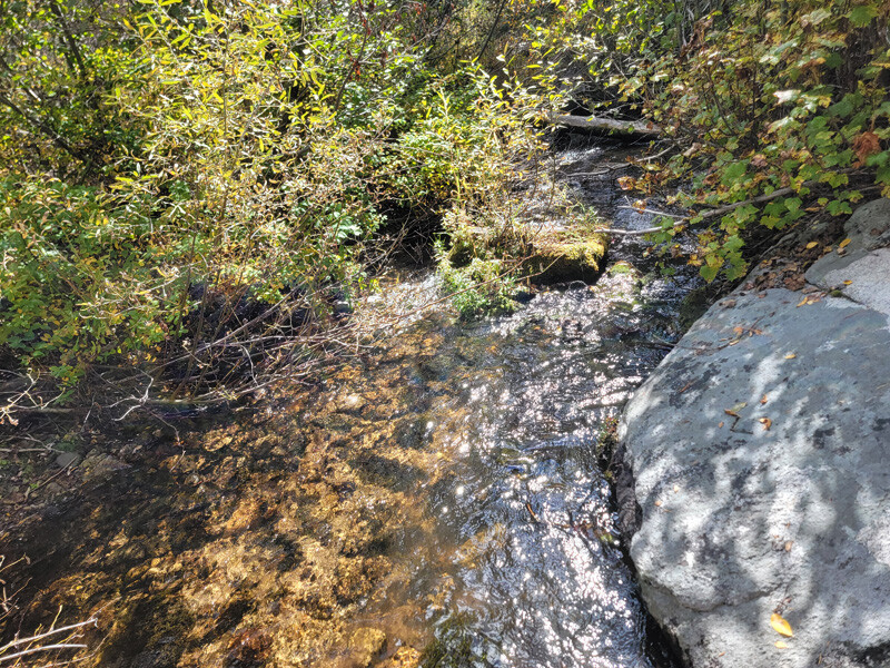
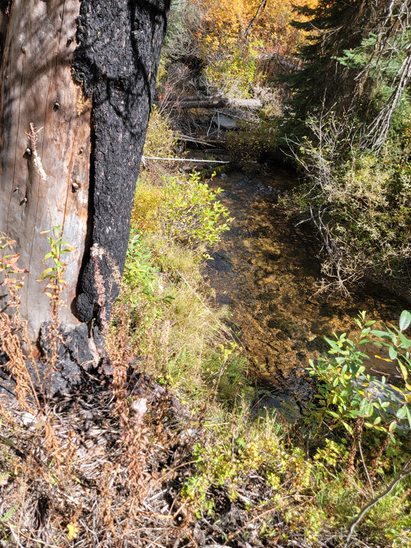
You should consider testing/sampling Sawmill Creek (drainage is just as large as Banner Creek). While IGM has not sampled this, based on the Banner Mine vein structure, it would “appear” this could be extremely gold bearing as well.
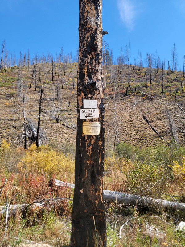
Glitter Creek
Price: $2,500
- Acreage: 20 acre unpatented placer claim
- River footage: 1500‘ of Banner Creek - Pullouts on claim
- Location: Boise County, Township 8N, Range 8E, Sec. 29, NE ¼
- Mining claim serial #: ID106852025
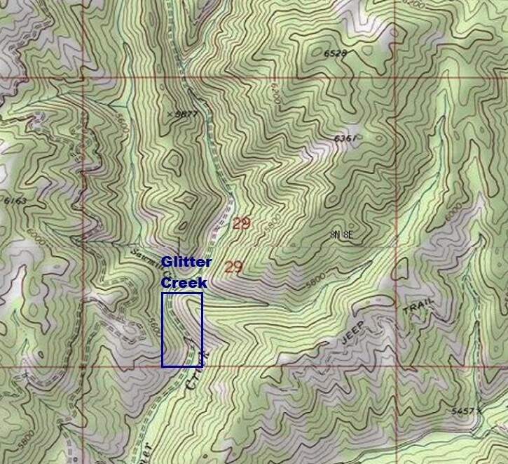
Map to Claim
The washout is approximately 250’ after getting onto the Glitter Creek mining claim (from the south).
Coordinates
Marker Degrees, Minutes, Seconds
NW 43°59’50.9640”N, -115°32’37.2480″W
NE 43°59’50.9640”N, -115°32’28.4640″W
SE 43°59’38.4000”N, -115°32’28.4640″W
SW 43°59’38.4000”N, -115°32’37.2480″W
Marker Latitude & Longitude
NW 43.99749°N, -115.54368°W
NE 43.99749°N, -115.54124°W
SE 43.99400°N, -115.54124°W
SW 43.99400°N, -115.54368°W
Aerial & Topo Images
Images
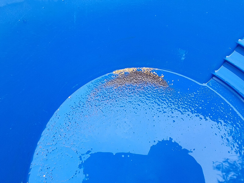
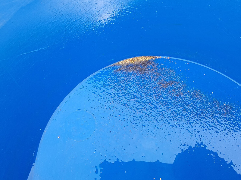
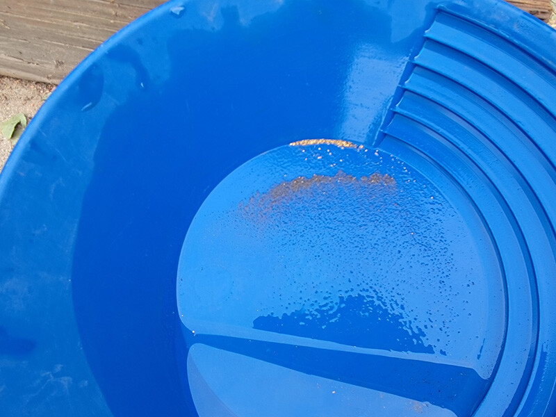
Show Me The Gold
Collected from 3.5 hours using a high-banker, depth about 3’ deep (3’ diameter).
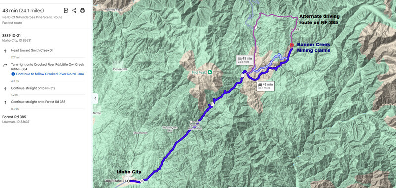
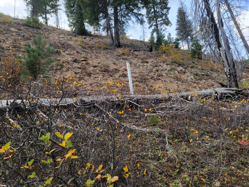
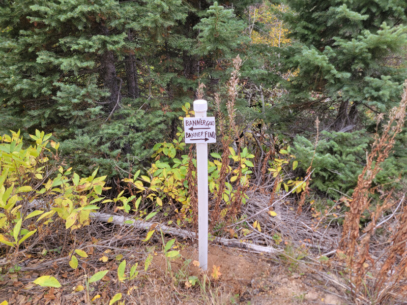
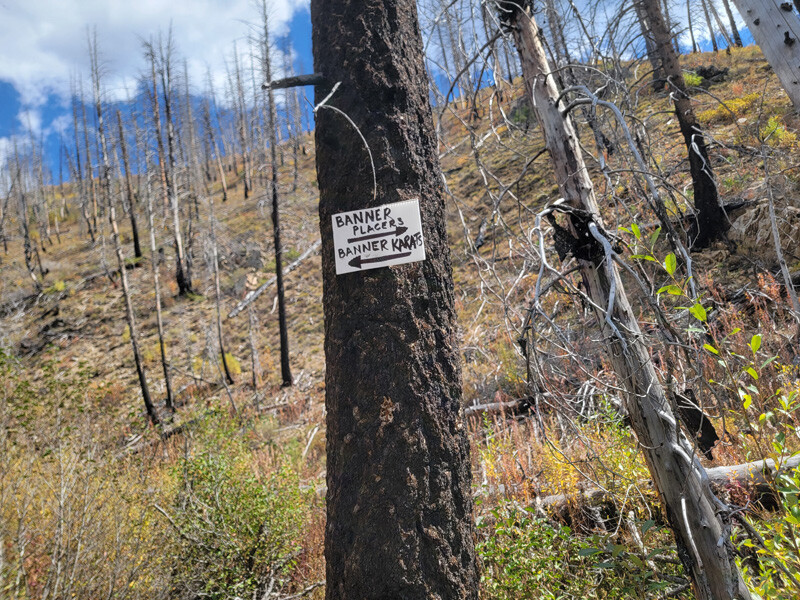
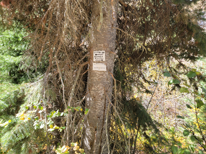
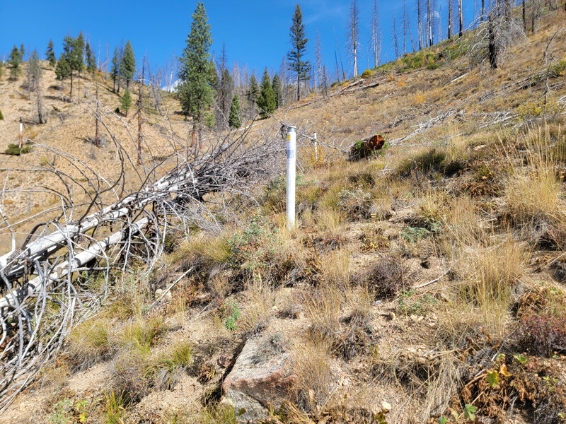
Driving Directions: The claims are located 24 miles outside the historic town of Idaho City. Driving directions to the claims: from Boise, travel north on HWY 21 to approximately 18 miles past Idaho City to the Jackson Peak Lookout turnout (Edna Creek Campground is at this junction). Turn right (east) on Crooked River Road (NF 384) for approximately 4 miles. Turn left (north) at the Jackson Peak turnoff onto NF 312. You will stay on this road for 1.1 miles (at the Pikes Fork junction) heading straight onto NF 385 (this is where the road closed sign is). You will continue on NF 385 for another 0.9 of a mile until you reach the mining claims. There are markers along the road showing the boundaries between the mining claims.
Second Driving option (north of claims): travel north on HWY 21 to approximately 22.6 miles past Idaho City to the NF 385 road (outhouse at this junction). Turn right (north) on NF 385 and stay on this “main” road for approximately 9 miles until you reach the mining claims. Coming from this direction, you will see the Banner Mine about ¾ of a mile before reaching the claims. I would advise that you turn on Google maps going this route, as there are several side road/junctions through this stretch.