Auric Pickings
Idaho City Sold
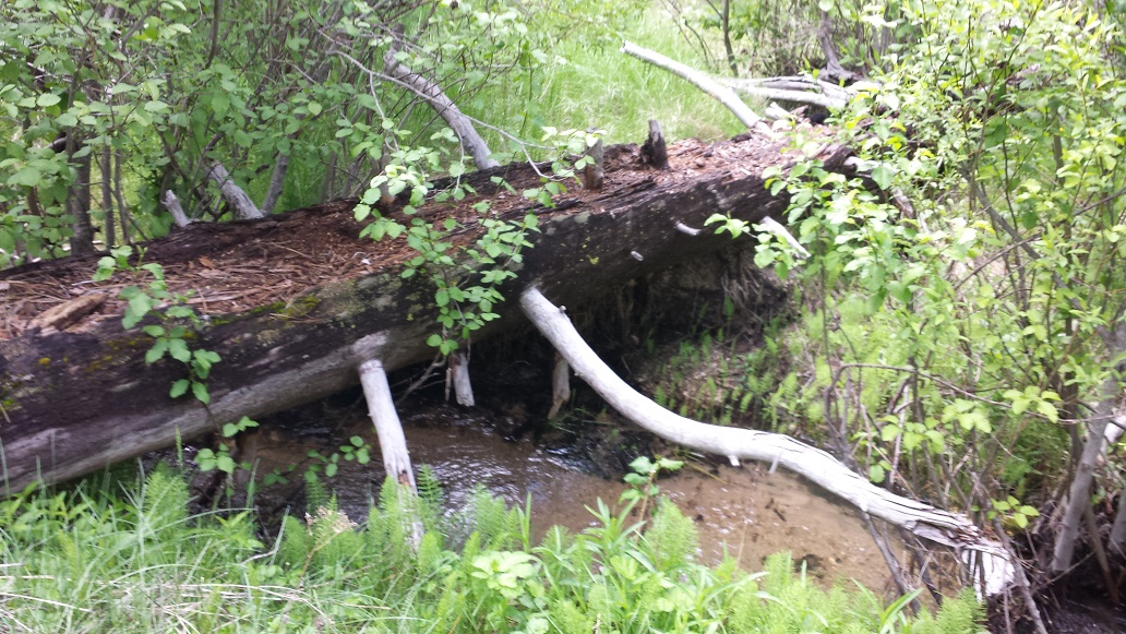
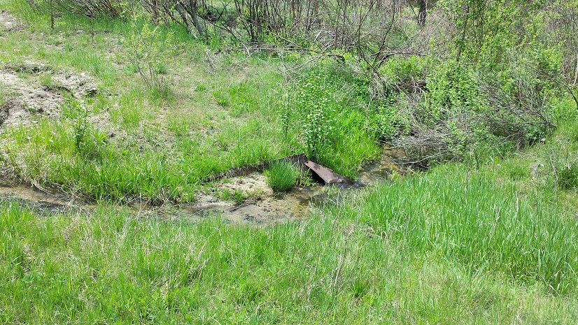
This is a very unique mining claim for a few different reasons. For starters, Hoodoo Creek is open to dredging & ample water for the maximum size dredge. Now, who doesn’t love a great legend? Well this specific drainage holds a very unique tale indeed.
***Around 40+ years ago, a ranger doing some field work back on Hoodoo Creek, came across some exposed material and saw a bright shiny rock, realizing this looked an awful lot like gold, he planted his pickaxe into the tree to mark the location. Taking this into Idaho City to a local mineral shop, they confirmed indeed that it was gold with a weight of little more than an ounce!!! While the ranger himself was not allowed to have a mining claim (based on federal regulations to keep his job), he abandoned the idea of going back in there to search for more gold.***
The next enticing feature is that while the road going all the way into the mining claim is in really good shape, the Forest Service has gated off the road right off of NF 327…yet with owning a mining claim you have rights to access back into these nice little hidden treasures. So this creates a secluded area to work where you won’t have to fight the typical weekend riff-raff. There are two ways into this claim, by either walking up Hoodoo Creek from the bridge, or taking the upper road (accessible by vehicle to the camping area), where there is a built in atv road going downhill and directly into the claim. Will you be the one to find the old pickaxe?
- Acreage: 20 acre unpatented placer claim
- River footage: 1450’ Hoodoo Creek - Camping adjacent to claim – gated area (no vehicle traffic) so private limited access
- Location: Boise County, Township 6N, Range 6E, Sec.29, NE & Sec.28 NW
- Mining claim serial #: ID105795446
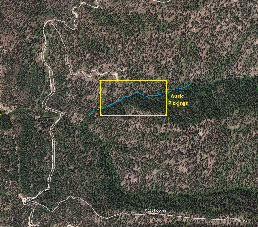
Map to Claim
Coordinates
Marker Latitude & Longitude
NW 43.83471’N, -115.76693’W
NE 43.83471’N, -115.76212’W
SE 43.83289’N, -115.76212’W
SW 43.83289’N, -115.76693’W
Marker Degrees, Minutes, Seconds
NW 43°50’04.9560″N, -115°46’00.9480″W
NE 43°50’04.9560″N, -115°45’43.6320″W
SE 43°49’58.4040″N, -115°45’43.6320″W
SW 43°49’58.4040″N, -115°46’00.9480″W
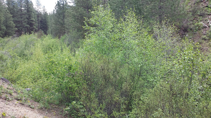
We apologize for not having better pictures of the access road, camping and so forth, but the files were lost with when my phone died. I did save the gold collected out of Hoodoo Creek and will get pictures uploaded soon.
Maps


Images

Overview
Route of Access: Access to the “Auric Pickings” from HWY 21 to NF 327 (Granite Creek Road / Rabbit Creek Road), travelling approximately 1.6 miles to 327A (from FS maps) Forest Service road, and then 1.2 miles to the Hoodoo Creek crossing. The Auric Pickings mining claim is approximately 600’ east on the trail from the Hoodoo Creek crossing (NF 327A crosses the creek). Or for access driving into the claim, continue uphill on NF 327A for an additional 0.5 of a mile and make a right onto the side road (close to the saddle) & then take this service road for another ½ mile to the camping area. From here you will be overlooking Hoodoo Creek and the claim & the atv road (down to the creek) is slightly to the east.