Ace N Hole II
Sold
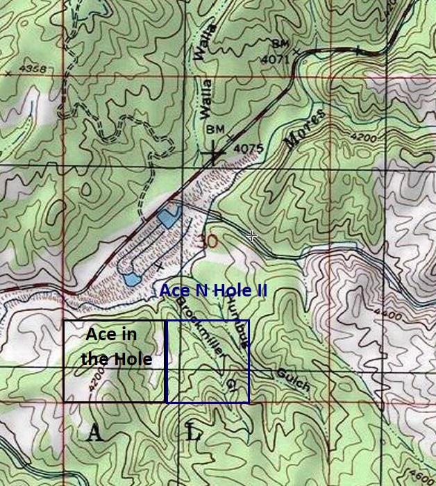
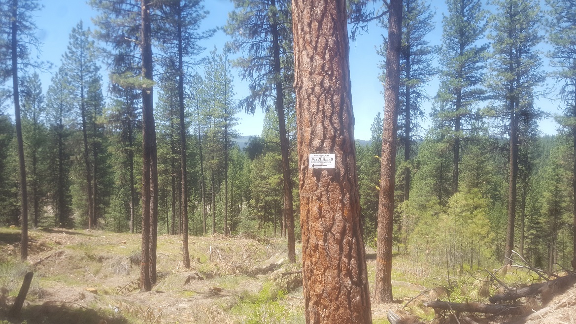
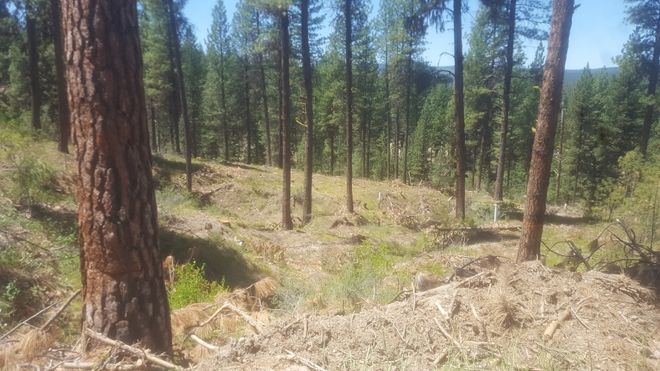
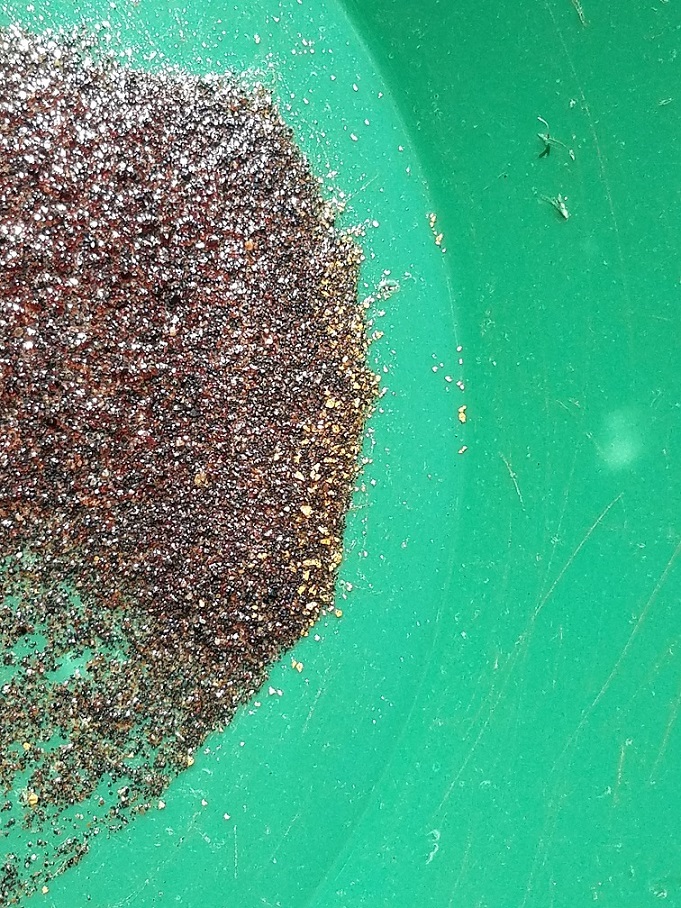
Ace N Hole II is a very unique mining claim located about 3 miles outside of the historic gold mining town of Idaho City and in the Mores Creek drainage (but not “on” Mores Creek itself). I am often asked if I have any more dry-washing style mining claims, and this site is targeted for that particular use. There are some smaller seasonal drainages (Humbug & Brockmiller Gulches) on the claim, but these are dry most of the year. There is public access to Mores Creek which is 400’ from the claim, so pumping water up (for high-banking or potentially larger operations) is also an option. These high benches along Mores Creek had lots of pay material, and while you can see some old workings across the mining claim, areas of undisturbed virgin ground can also be found.
- Acreage: 40 acre unpatented placer claim, Drywashing mining claim within rich
- River footage: Mores Creek basin with 1400’ of Brockmiller Gulch & 700’ Humbug Gulch
- Location: Boise County, Township 6N, Range 6E, Sec.30, SE & SW ¼s
- Mining claim serial #: ID105233401
Map to Claim
Coordinates
Marker Latitude & Longitude
NW 43.82586’N, -115.79465’W
NE 43.82586’N, -115.78993’W
SE 43.82219’N, -115.78993’W
SW 43.82219’N, -115.79465’W
Marker Degrees, Minutes, Seconds
NW 43°49’33.0960″N, -115°47’40.7400″W
NE 43°49’33.0960″N, -115°47’23.7480″W
SE 43°49’19.8840″N, -115°47’23.7480″W
SW 43°49’19.8840″N, -115°47’40.7400″W
Maps

Images


Overview
Show Me The Gold

I would also point out, if you are into the “Gold Rush” show and familiar about the recent show they put out working in Idaho, this claim is situated 1320’ east of that operation, along the same upper benches. https://www.youtube.com/watch?v=n-6Uj7sPX8A So this could also be a great site for proposing a larger plan of operations.
Driving directions to the claim:
From Boise, travel north on HWY 21 to Idaho City (approximately 34 miles from I-84). Continue on HWY 21 for an additional 2.2 miles past Idaho City and turn right (south) onto NF 327 road (Granite Creek/ Rabbit Creek road). In about 0.4 of a mile turn right onto NF 327H, and in about ½ of a mile you will have reached the mining claim. The NF 314H road meanders through the mining claim. I would also point out that the Forest Service at times will close the NF 327H road (to the general public), however under mining law “rights”, existing access roads cannot be restricted to a mining claim owner’s site. The claim is marked next to the road as entering and exiting the claim from the east and west sides along NF327H.