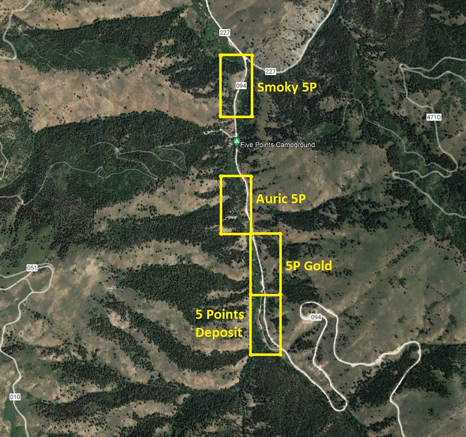
5 Points Claims
Five Points Sold
Overview
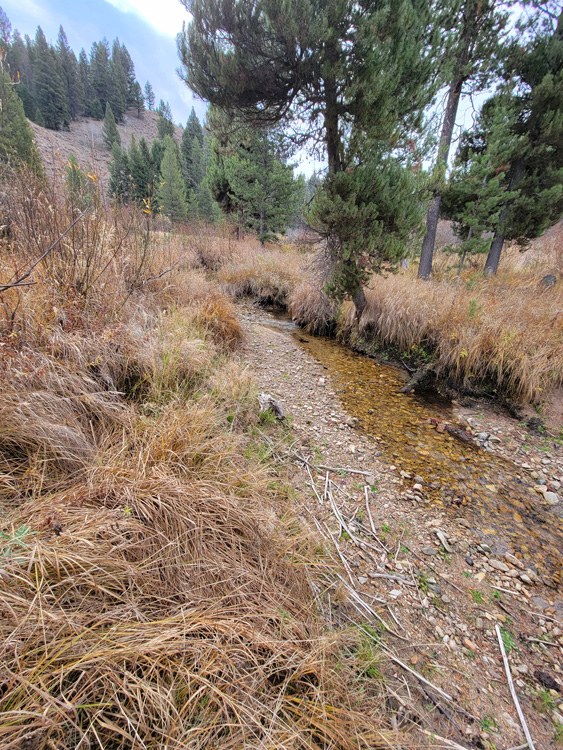
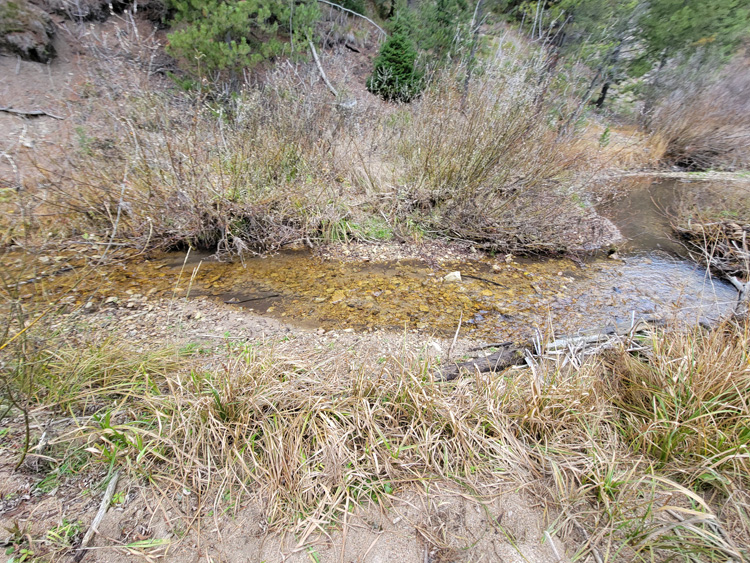
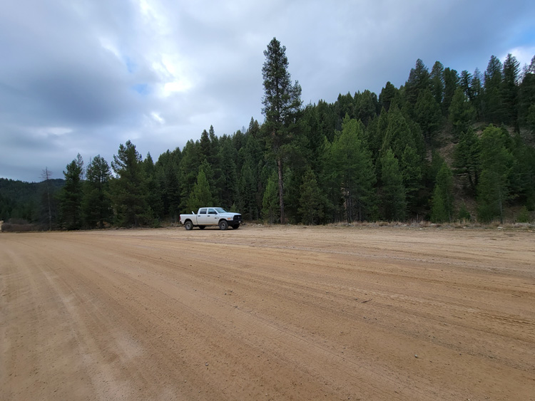
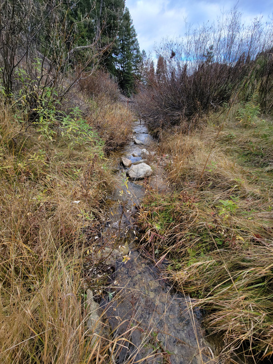
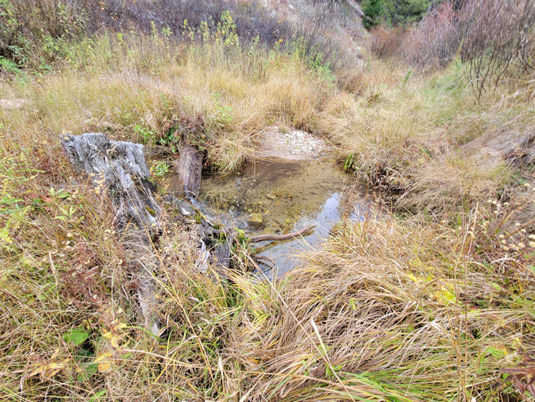
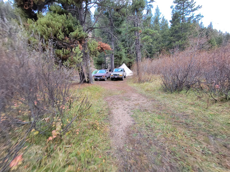
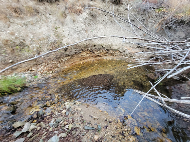
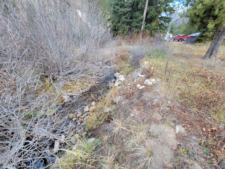
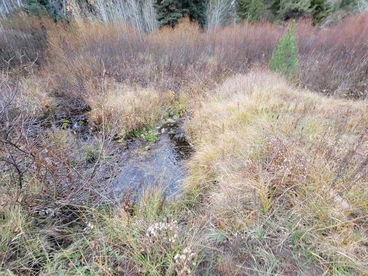
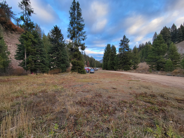
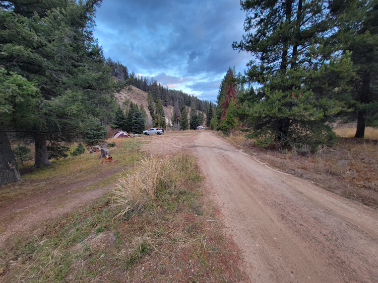
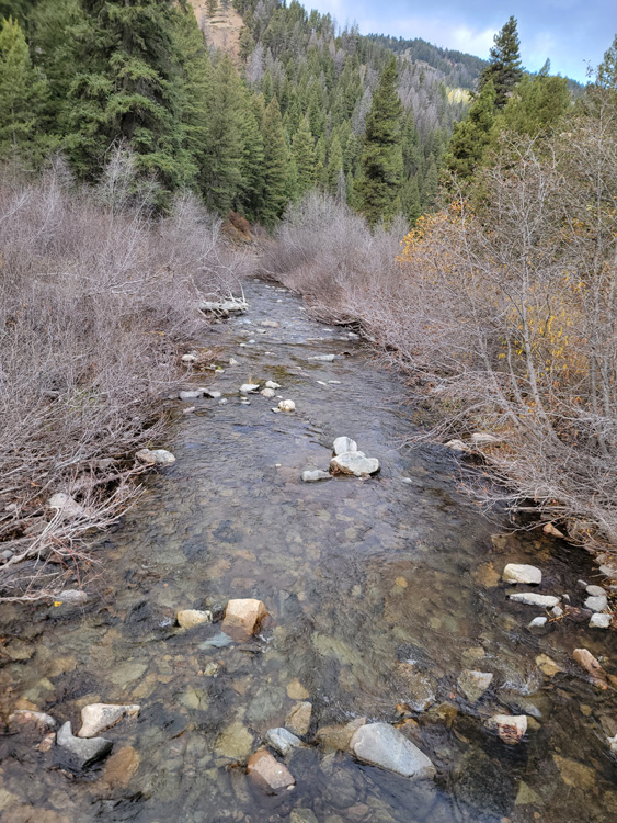
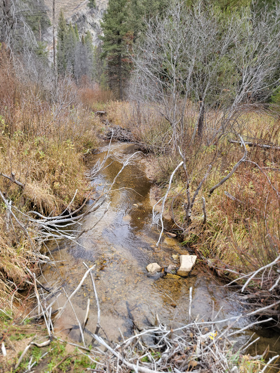
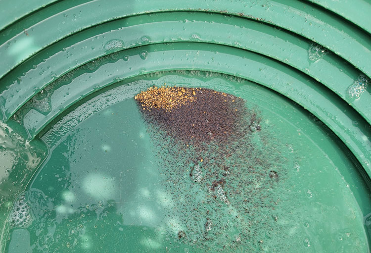
These 4 unique mining claims are located just a short 30 minutes from Fairfield Idaho on the Five Points Creek abutting up to the gold laden Five Points Mine. This area has an excessive amount of camping and parking areas already existing up along Five Points Creek, along with the Five Points Campground abutting the claims. In talking with several hunters utilizing the camping spots this fall, they had bagged out in the first couple hours of opening day of season. This area has a lot to offer the outdoorsman with exceptional fishing, hunting, atv trails and the forested surroundings for an excellent outdoors trip. When taking these pictures, I bumped into a group of old-timers panning the creek (on these claims)…where even with their inexperience, their pans showed nice fine gold (I did educate them about being on an active mine). So a lot of interest and reasons to be drawn to be prospecting gold out here on 5 Points. Full services are available in Fairfield which is roughly 17.5 miles from the claims.

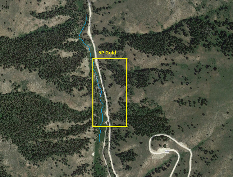
5P Gold
Sold
- Acreage: 20 acre unpatented placer claim
- River footage: 1350’ of Five Points Creek - 2 camping areas on claim
- Location: Camas County, Township 2N, Range 14E, Sec. 05, SE ¼
- Mining claim serial #: ID106322004
Map to Claim
Coordinates
Marker Degrees, Minutes, Seconds
NW 43°32’11.6160″N, -114°49’00.8760″W
NE 43°32’11.6160″N, -114°48’51.6240″W
SE 43°31’58.3680″N, -114°48’51.6240″W
SW 43°31’58.3680″N, -114°49’00.8760″W
Marker Latitude & Longitude
NW 43.53656’N, -114.81691’W
NE 43.53656’N, -114.81434’W
SE 43.53288’N, -114.81434’W
SW 43.53288’N, -114.81691’W
Aerial & Topo Images
Images


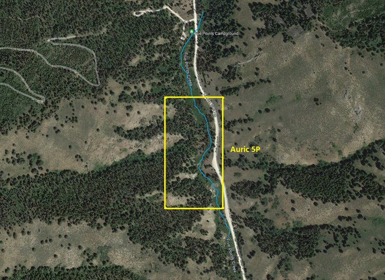
Auric 5P
Sold
- Acreage: 20 acre unpatented placer claim
- River footage: 1450’ of Five Points Creek - Large pullout area on claim or 700’ from Five Points Campground
- Location: Camas County, Township 2N, Range 14E, Sec. 05, NW ¼
- Mining claim serial #: ID106322005
Map to Claim
Coordinates
Marker Degrees, Minutes, Seconds
NW 43°32’24.9360″N, -114°49’10.4520″W
NE 43°32’24.9360″N, -114°49’00.8760″W
SE 43°31’58.3680″N, -114°49’00.8760″W
SW 43°31’58.3680″N, -114°49’10.4520″W
Marker Latitude & Longitude
NW 43.54026’N, -114.81957’W
NE 43.54026’N, -114.81691’W
SE 43.53656’N, -114.81691’W
SW 43.53656’N, -114.81957’W
Aerial & Topo Images
Images


5 Points Deposit
Sold
- Acreage: 20 acre unpatented placer claim
- River footage: 1400’ of Five Points Creek - 4 camping areas on claim
- Location: Camas County, Township 2N, Range 14E, Sec. 05, SE ¼
- Mining claim serial #: ID106322003
Map to Claim
Coordinates
Marker Degrees, Minutes, Seconds
NW 43°31’58.3680″N, -114°49’00.8760″W
NE 43°31’58.3680″N, -114°48’51.6240″W
SE 43°31’45.4080″N, -114°48’51.6240″W
SW 43°31’45.4080″N, -114°49’00.8760″W
Marker Latitude & Longitude
NW 43.53288’N, -114.81691’W
NE 43.53288’N, -114.81434’W
SE 43.52928’N, -114.81434’W
SW 43.52928’N, -114.81691’W
Aerial & Topo Images

Images


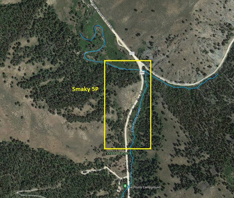
Smoky 5P
Sold
- Acreage: 20 acre unpatented placer claim
- River footage: 1250’ of Five Points Creek & 700’ of Little Smoky - 1 small camping area on claim or 400’ from Five Points Campground
- Location: Camas County, Township 3N, Range 14E, Sec. 32, SW ¼
- Mining claim serial #: ID106322006
Map to Claim
Coordinates
Marker Degrees, Minutes, Seconds
NW 43°32’50.4600″N, -114°49’10.4520″W
NE 43°32’50.4600″N, -114°49’00.8760″W
SE 43°32’37.1400″N, -114°49’00.8760″W
SW 43°32’37.1400″N, -114°49’10.4520″W
Marker Latitude & Longitude
NW 43.54735’N, -114.81957’W
NE 43.54735’N, -114.81687’W
SE 43.54365’N, -114.81687’W
SW 43.54365’N, -114.81957’W
Aerial & Topo Images
Images


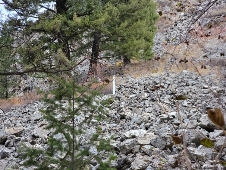


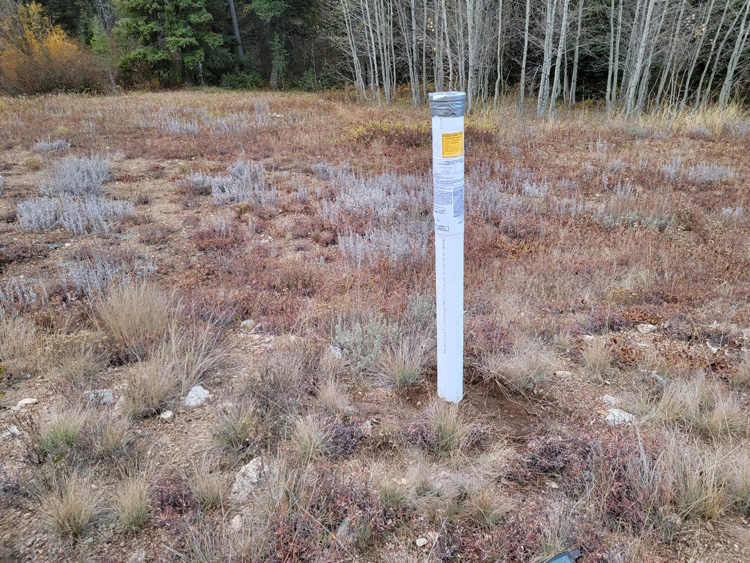
Show Me The Gold


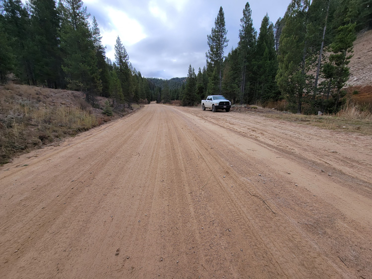
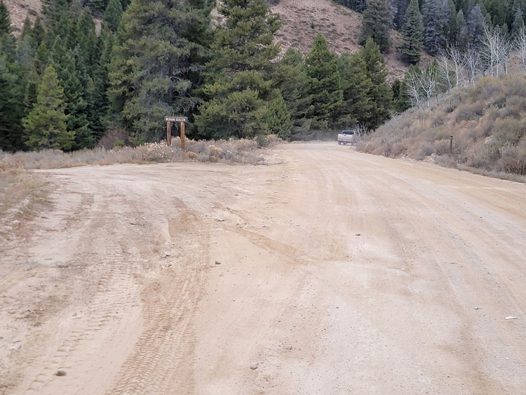
Driving Directions from Mountain Home: Take HWY 20 (from I-84 Exit 95), north out of Mountain Home for 56.4 miles. Once in Fairfield turn left (north) onto Center St (AKA Center St) Rd, and stay on this road for 1.9 miles. Turn right at the T intersection onto W 200N (AKA Base Line Rd, aka Center St), and stay on this road for 0.3 of a mile. Turn left onto Soldier Creek Rd (aka NF-094 aka Center St) and stay on this for 7.7 miles. Turn right onto Couch Summit Road (aka NF-094) and stay on this main road for another 7.6 miles until you reach the mining claims. The mining claims extend for another 1 mile downstream (along NF 094) all the way to Little Smoky (NF 227) junction. The mining claims are labeled along the road on the creek-side of the road, showing where each claim starts & ends.
