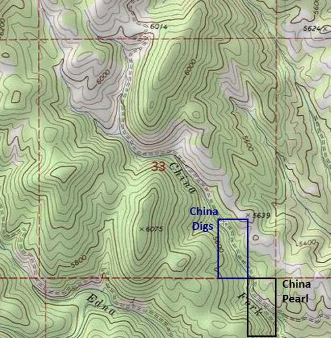
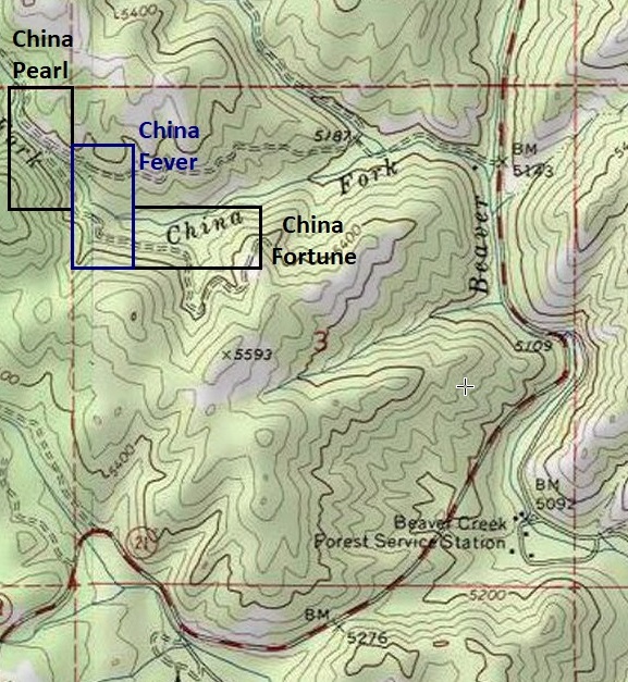
China Fork Claims
Crooked River Sold
Overview
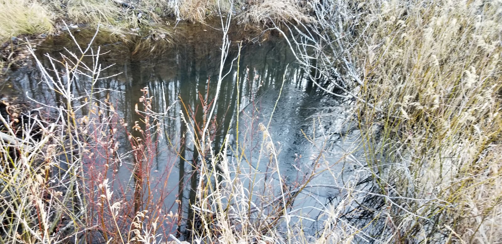
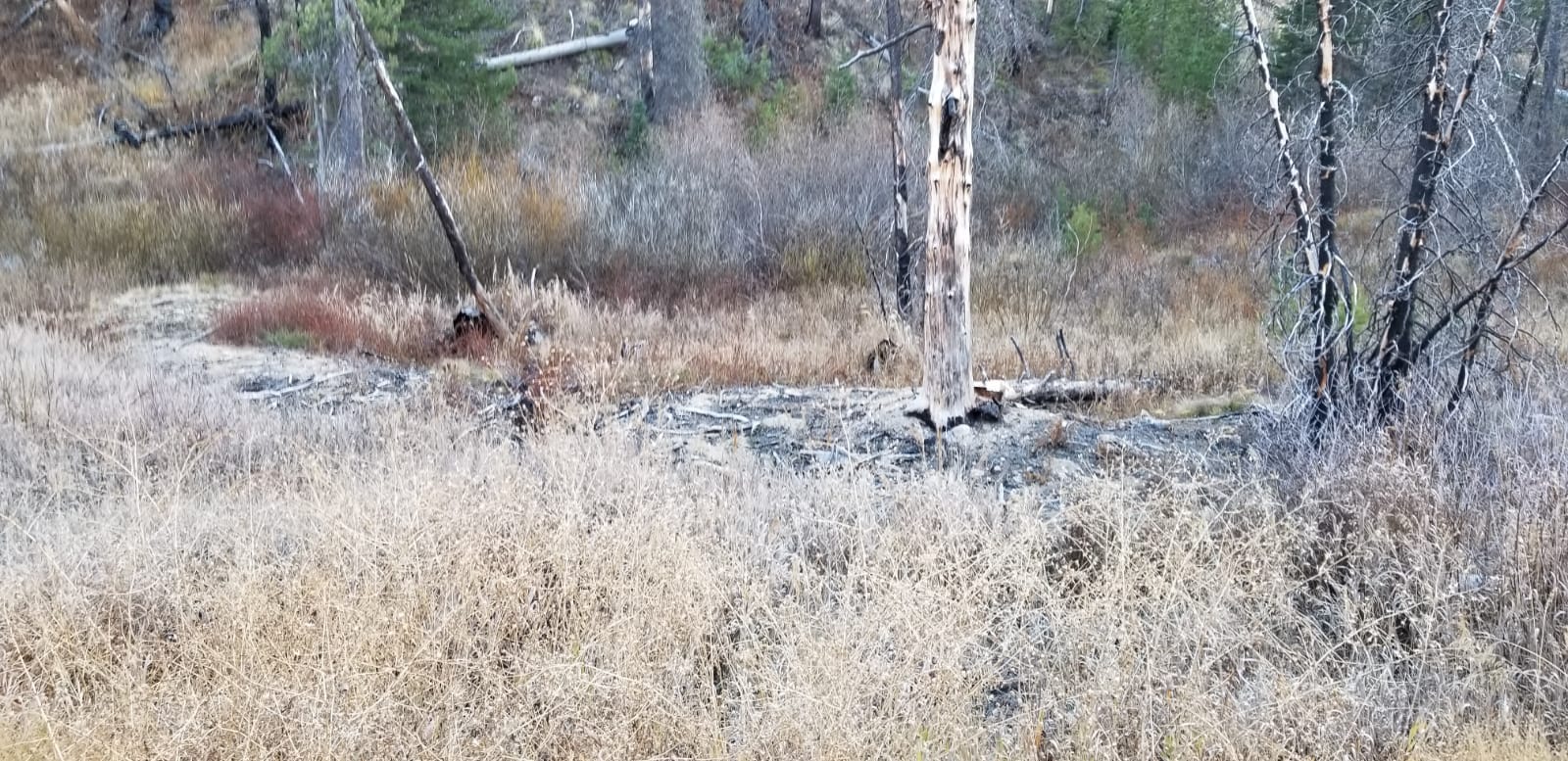
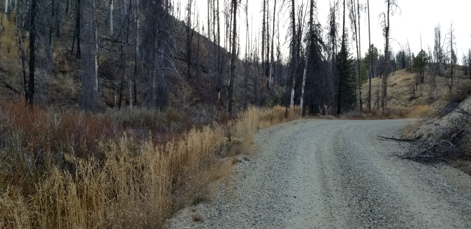
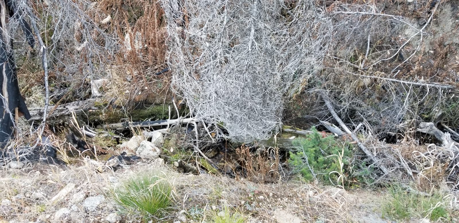
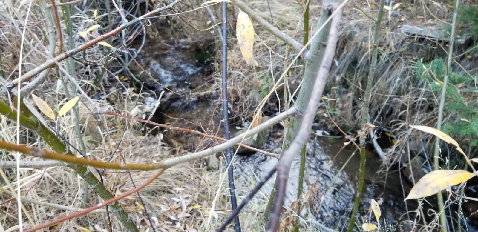
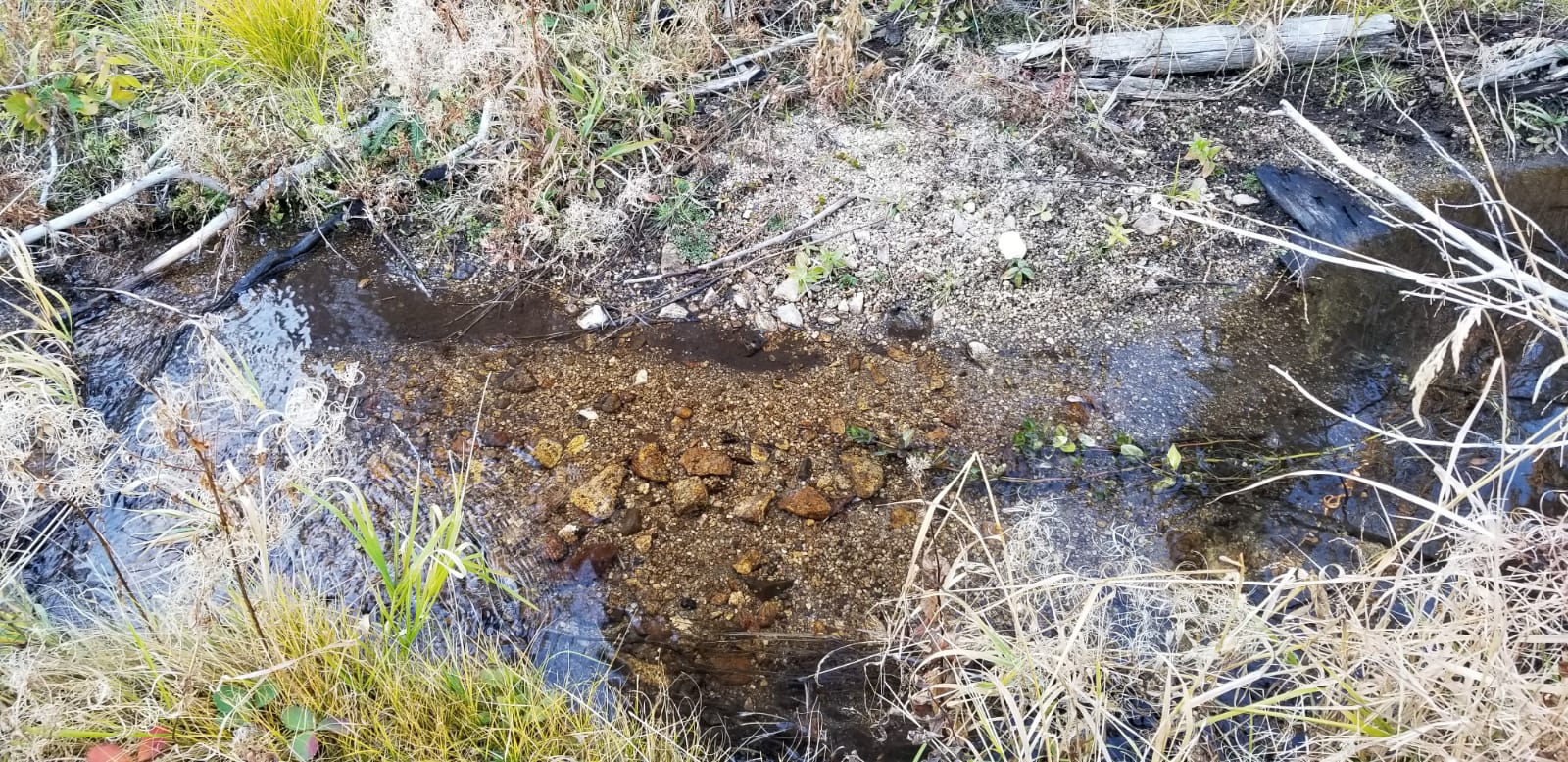
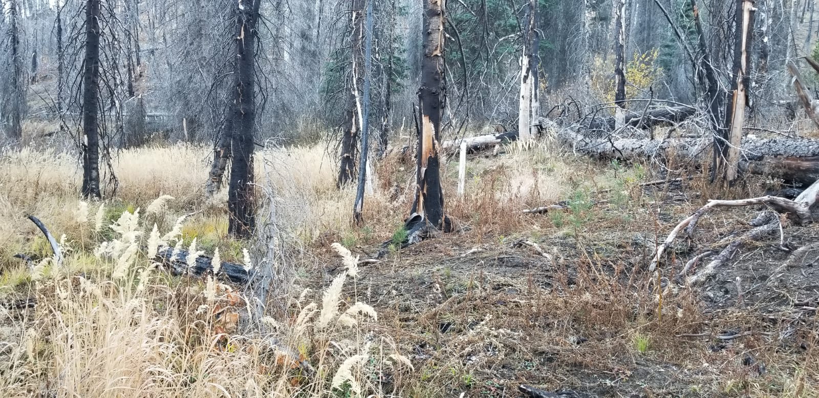
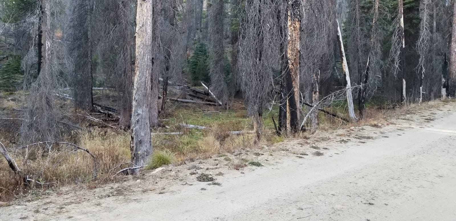
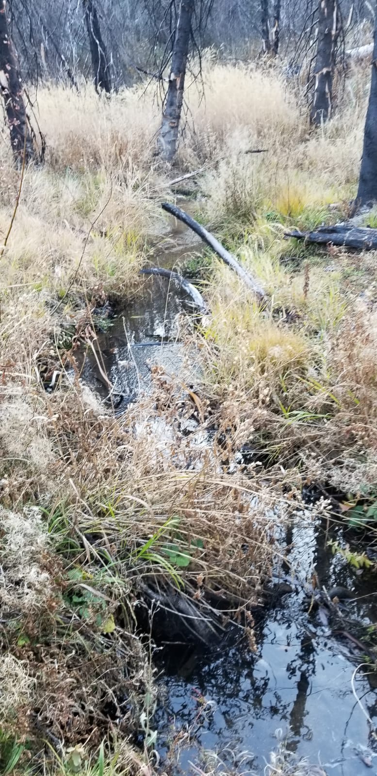
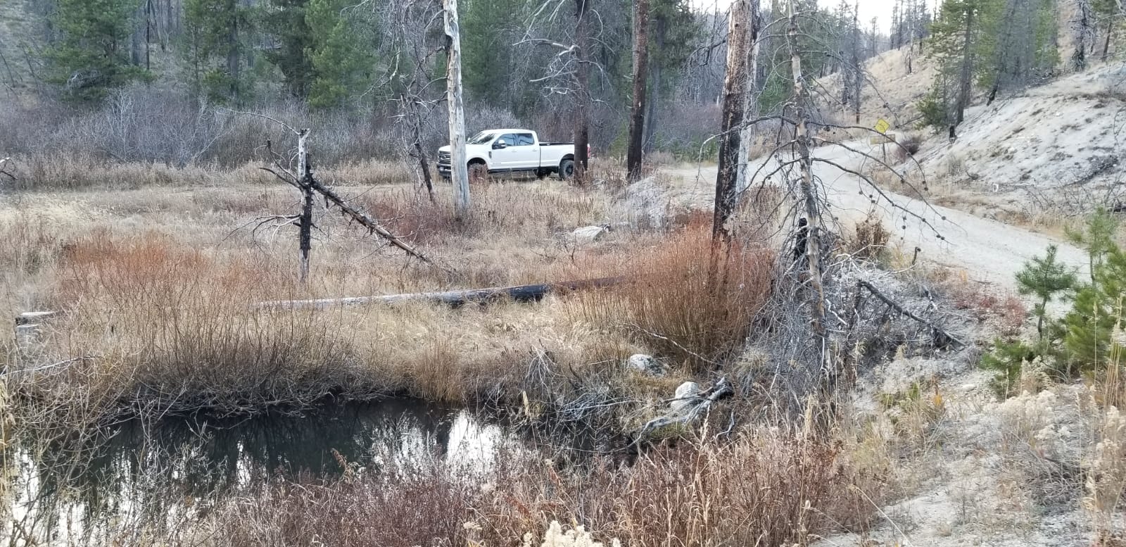
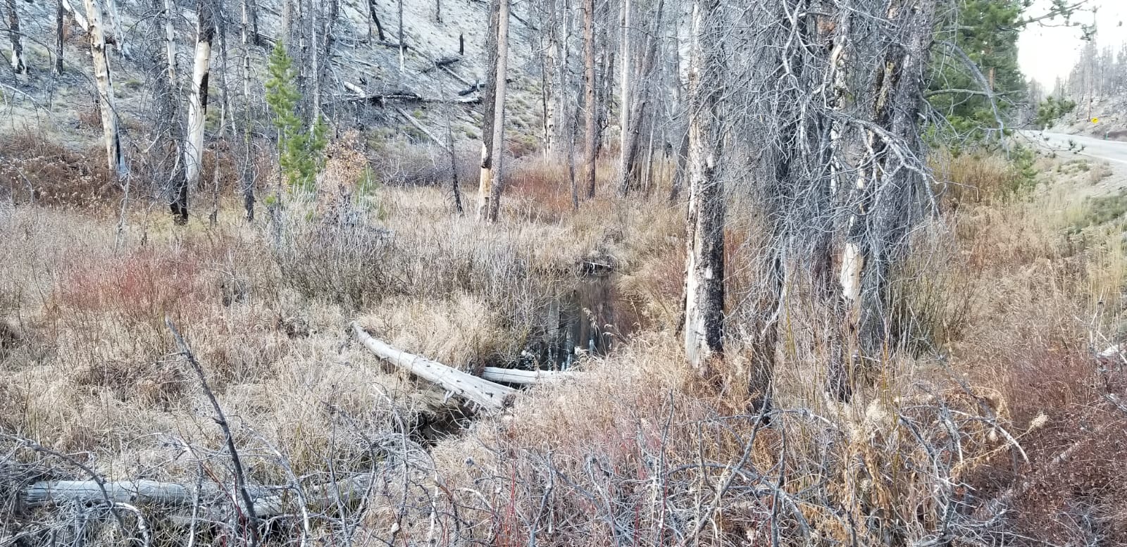
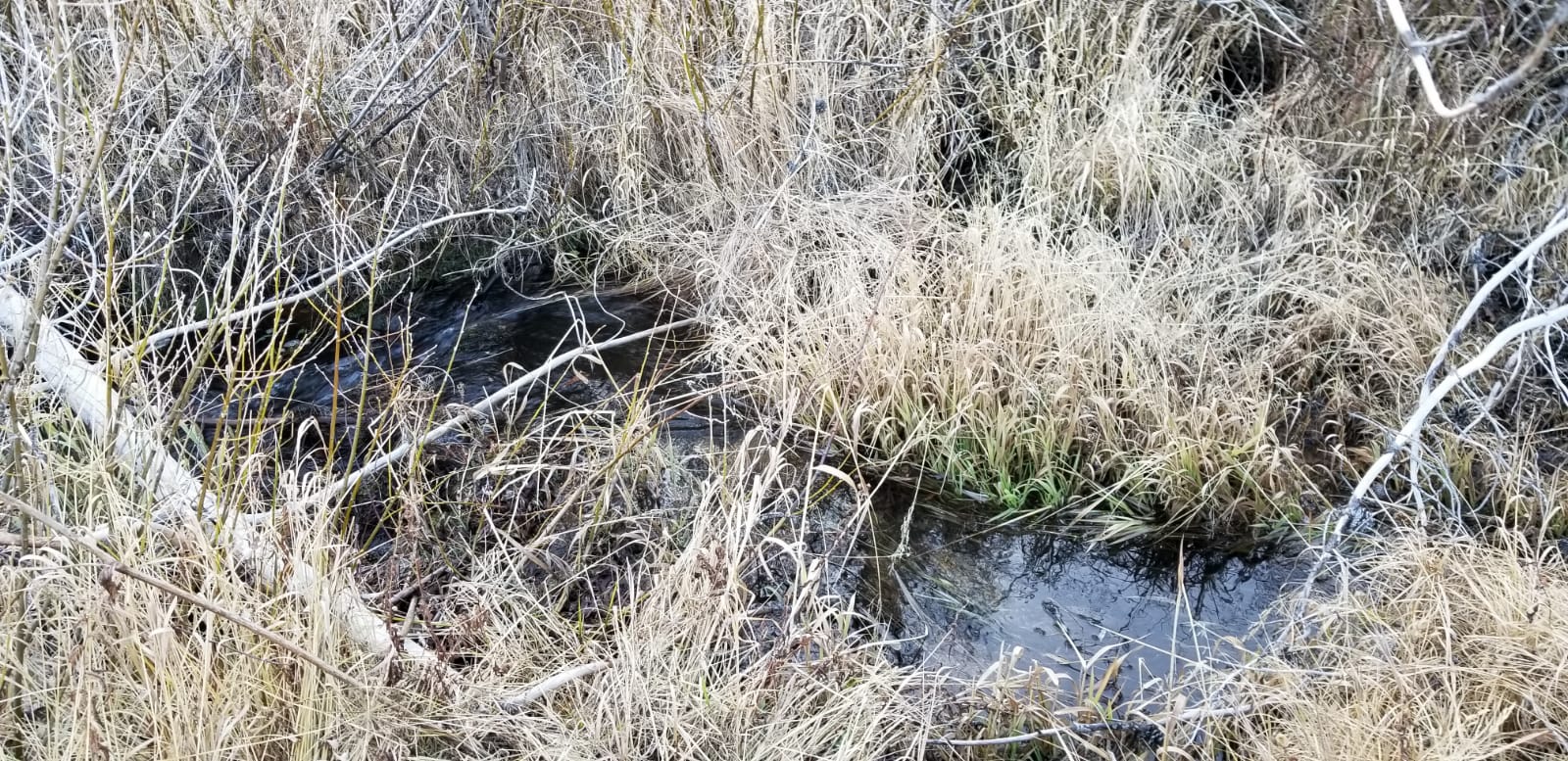
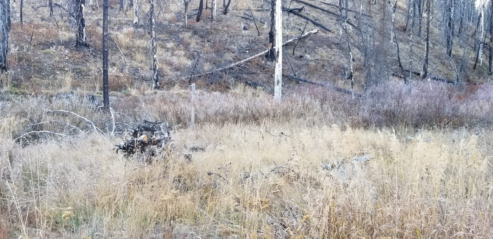
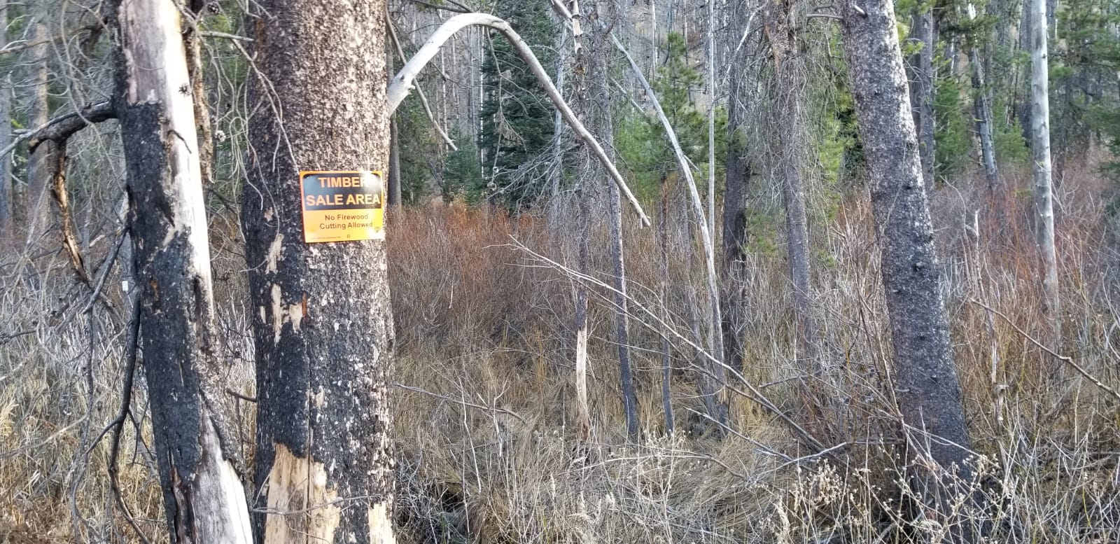
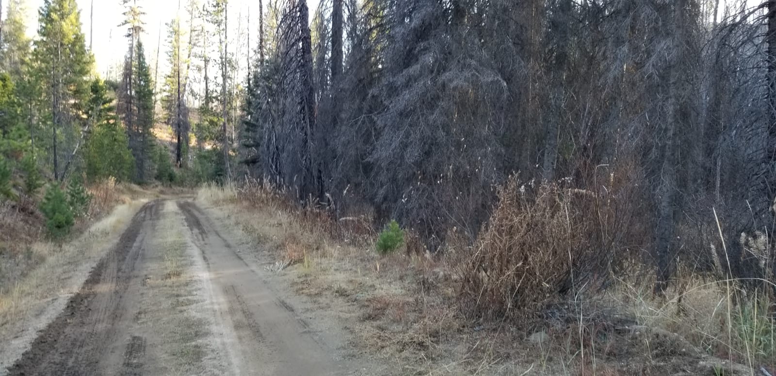
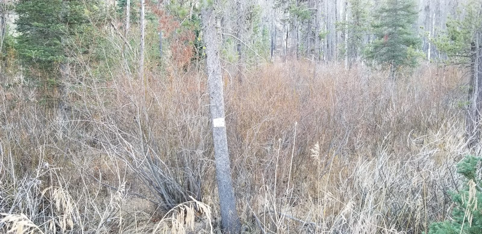
These mining claims are situated on China Fork, which is positioned about 19 miles outside of the historic mining town of Idaho City. With easy access and pavement (HWY 21) to all but the last few feet to the claims, with a well-maintained NF 393 forest service access road that extends up China Fork through the claims. China Fork has a strong history of prospecting during various gold rush eras (late 1800s, 1930s & 1980s), with evidence of hand workings, which is one of the many gold bearing tributaries of the “Crooked River” drainage, contributing to the wealth of gold discovered in the Boise Basin. But don’t just take our word for it, seeing nice color in each pan sample, speaks for itself. It is also well known for its recreational activities, with cross country skiing & snowshoeing trails along with yurts scattered throughout the area. A few of the mining claims do have good camping areas which have been labeled below.
Idaho Gold Mining may have additional abutting mining claims not listed, and will offer discounts for multiple purchases.
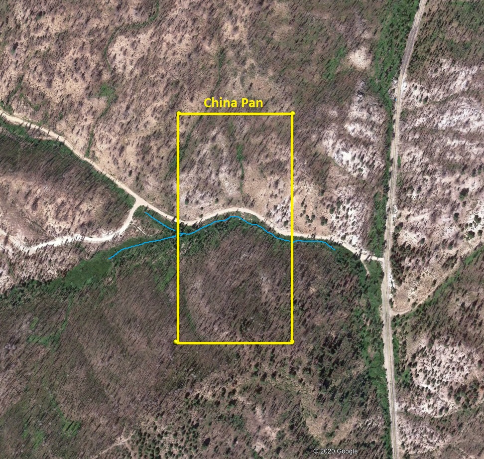
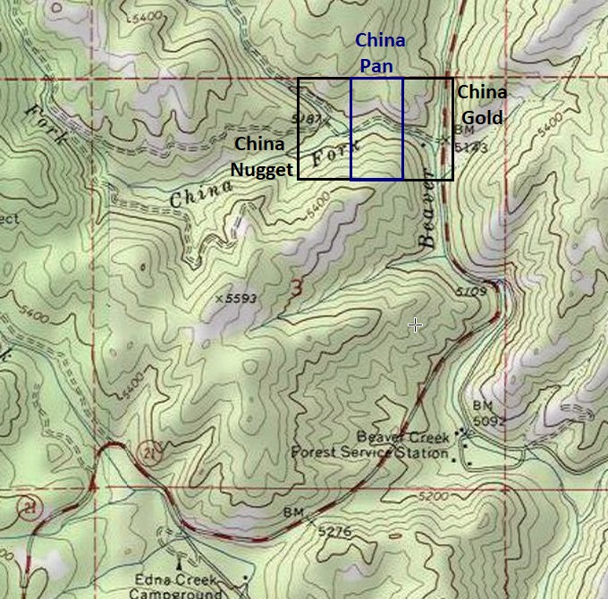
China Pan
Sold
- Acreage: 19.50 acre unpatented placer claim
- River footage: 750’ of China Fork Creek
- Location: Boise County, Township 7N, Range 7E, Sec. 03, NE ¼
- Mining claim serial #: ID106319164
Map to Claim
Coordinates
Marker Degrees, Minutes, Seconds
NW 43°58’45.5160″N, -115°36’51.0840″W
NE 43°58’45.5160″N, -115°36’42.3000″W
SE 43°58’32.9520″N, -115°36’42.3000″W
SW 43°58’32.9520″N, -115°36’51.0840″W
Marker Latitude & Longitude
NW 43.97931’N, -115.61419’W
NE 43.97931’N, -115.61175’W
SE 43.97582’N, -115.61175’W
SW 43.97582’N, -115.61419’W
Aerial & Topo Images
Images


China Pearl
Sold
- Acreage: 20 acre unpatented placer claim
- River footage: 1350’ of China Fork Creek - 1 nice secluded camping area on claim
- Location: Boise County, Township 7N, Range 7E, Sec. 04, NE ¼
- Mining claim serial #: ID106332605
Map to Claim
Coordinates
Marker Degrees, Minutes, Seconds
NW 43°58’45.5160″N, -115°37’45.0120″W
NE 43°58’45.5160″N, -115°37’36.2280″W
SE 43°58’32.9520″N, -115°37’36.2280″W
SW 43°58’32.9520″N, -115°37’45.0120″W
Marker Latitude & Longitude
NW 43.97931’N, -115.62917’W
NE 43.97931’N, -115.62673’W
SE 43.97582’N, -115.62673’W
SW 43.97582’N, -115.62917’W
Aerial & Topo Images


Images


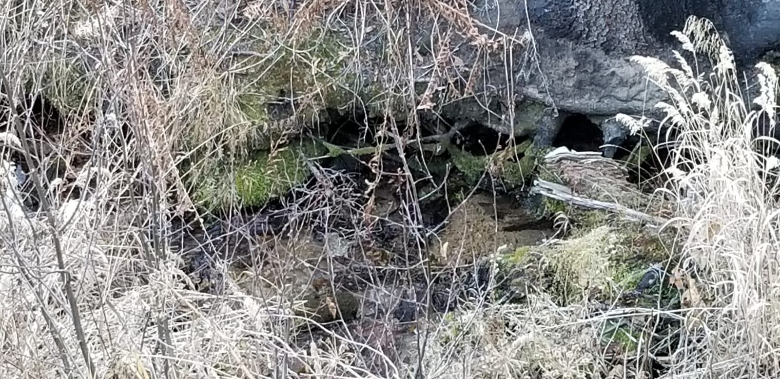

China Digs
Sold
- Acreage: 20 acre unpatented placer claim
- River footage: 1350’ of China Fork Creek - Large flat to establish camping
- Location: Boise County, Township 8N, Range 7E, Sec. 33, SE ¼
- Mining claim serial #: ID106332604
Map to Claim
Coordinates
Marker Degrees, Minutes, Seconds
NW 43°58’58.1880″N, -115°37’53.6880″W
NE 43°58’58.1880″N, -115°37’45.0120″W
SE 43°58’45.5160″N, -115°37’45.0120″W
SW 43°58’45.5160″N, -115°37’53.6880″W
Marker Latitude & Longitude
NW 43.98283’N, -115.63158’W
NE 43.98283’N, -115.62917’W
SE 43.97931’N, -115.62917’W
SW 43.97931’N, -115.63158’W
Aerial & Topo Images

Images


China Gold
Sold
- Acreage: 19.66 acre unpatented placer claim
- River footage: 600’ of China Fork Creek & 1300’ of Beaver Creek (1 camping areas on claim)
- Location: Boise County, Township 7N, Range 7E, Sec. 03, NE ¼
- Mining claim serial #: IMC232590
Map to Claim
Coordinates
Marker Degrees, Minutes, Seconds
NW 43°58’45.5160″N, -115°36’42.3000″W
NE 43°58’45.5160″N, -115°36’33.6600″W
SE 43°58’32.9520″N, -115°36’33.6600″W
SW 43°58’32.9520″N, -115°36’42.3000″W
Marker Latitude & Longitude
NW 43.97931’N, -115.61175’W
NE 43.97931’N, -115.60935’W
SE 43.97582’N, -115.60935’W
SW 43.97582’N, -115.61175’W
Aerial & Topo Images


Images


China Strike
Sold
- Acreage: 20 acre unpatented placer claim
- River footage: 1100’ of the China Fork Cr.
- Location: Boise County, Township 7N, Range 7E, Sec. 03, NW ¼
- Mining claim serial #: ID105242583
Map to Claim
Coordinates
Marker Degrees, Minutes, Seconds
NW 43°58’39.1800″N, -115°37’18.1560″W
NE 43°58’39.1800″N, -115°37’00.2280″W
SE 43°58’32.9520″N, -115°37’00.2280″W
SW 43°58’32.9520″N, -115°37’18.1560″W
Marker Latitude & Longitude
NW 43.97755’N, -115.62171’W
NE 43.97755’N, -115.61673’W
SE 43.97582’N, -115.61673’W
SW 43.97582’N, -115.62171’W
Aerial & Topo Images


Images
China Fever
Sold
- Acreage: 20 acre unpatented placer claim
- River footage: 1000’ of the China Fork Cr.
- Location: Boise County, Township 7N, Range 7E, Sec. 03, NW ¼
- Mining claim serial #: ID105242585
Map to Claim
Coordinates
Marker Degrees, Minutes, Seconds
NW 43°58’39.1800″N, -115°37’36.2280″W
NE 43°58’39.1800″N, -115°37’27.2640″W
SE 43°58’26.7240″N, -115°37’27.2640″W
SW 43°58’26.7240″N, -115°37’36.2280″W
Marker Latitude & Longitude
NW 43.97755’N, -115.62673’W
NE 43.97755’N, -115.62424’W
SE 43.97409’N, -115.62424’W
SW 43.97409’N, -115.62673’W
Aerial & Topo Images

Images


China Finds
Sold
- Acreage: 19.36 acre unpatented placer
- River footage: 950’ of the China Forks Cr. (1 camping areas on claim)
- Location: Boise County, Twn. 7N, Rng. 7E, Sec. 03, NW ¼ & Twn. 8N, Rng. 7E, Sec. 34, SW ¼
- Mining claim serial #: ID105243005
Map to Claim
Coordinates
Marker Degrees, Minutes, Seconds
NW 43°58’52.1040″N, -115°37’09.0120″W
NE 43°58’52.1040″N, -115°37’00.2280″W
SE 43°58’39.1800″N, -115°37’00.2280″W
SW 43°58’39.1800″N, -115°37’09.0120″W
Marker Latitude & Longitude
NW 43.98114’N, -115.61917’W
NE 43.98114’N, -115.61673’W
SE 43.97755’N, -115.61673’W
SW 43.97755’N, -115.61917’W
Aerial & Topo Images


Images


Show me the Gold
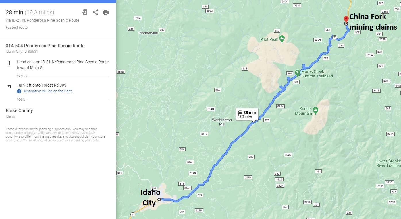
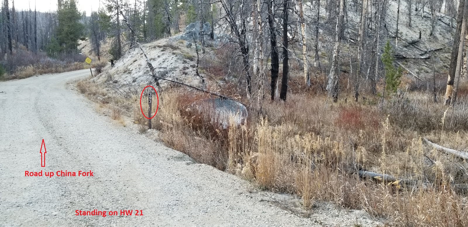
Driving Directions: from Boise, travel north on HWY 21 to Idaho City (approximately 34 miles from I-84). Continue on HWY 21 for an additional 19 miles past Idaho City and turn left (west) onto NF 393 road, (about 1.5 miles past Edna Creek Campground). The mining claim starts immediately after turning onto NF 393. Signs have been placed on the creek side of the road identifying the side boundaries, along with corner markers posts.