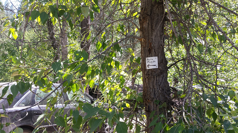
Auric Magda
This claim may be purchased as a whole or partial claim
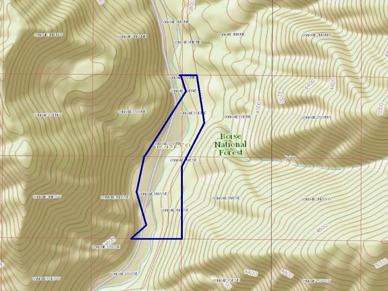
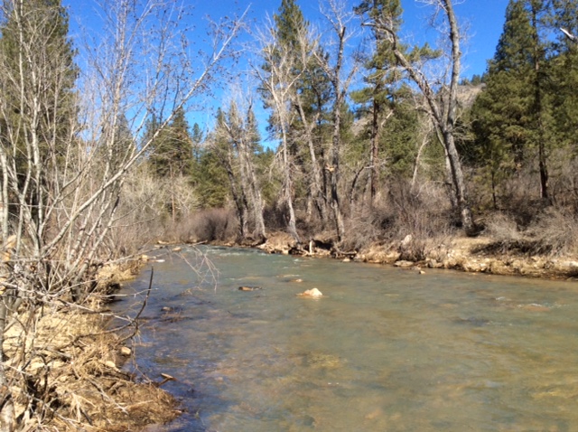
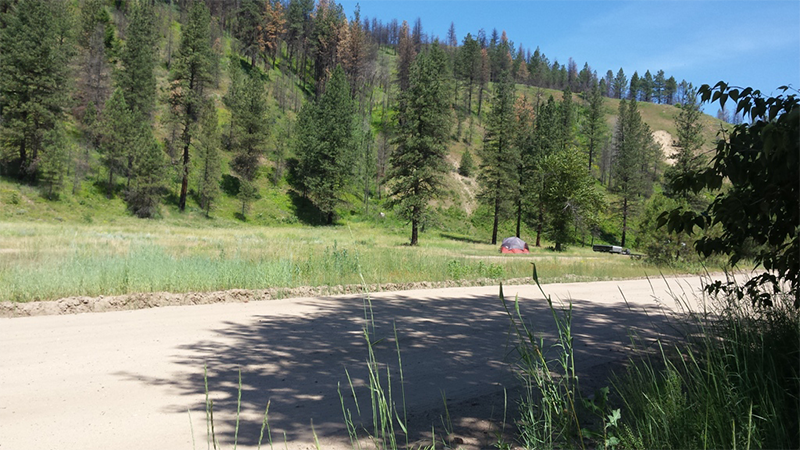
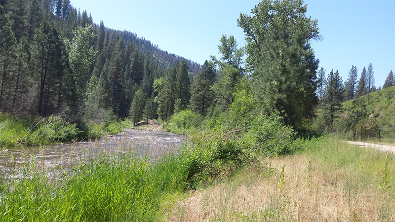
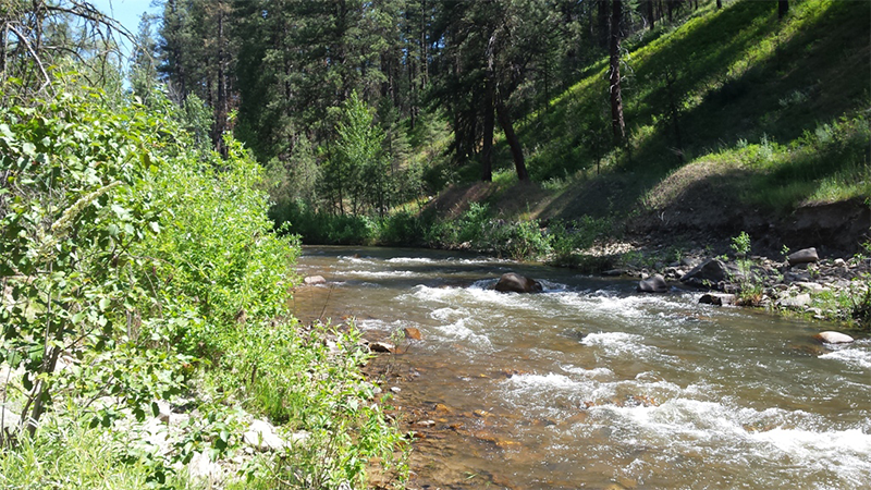
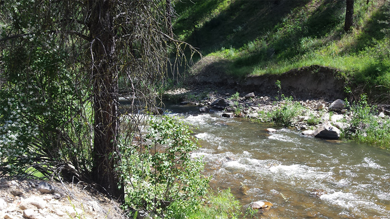
Gold Placer Mining Claim, just southwest of historic Idaho City, Idaho, also downstream of the historic Placerville and Centerville mining operations. Includes over 2300 feet of creek, on a historic gold-bearing drainage of Grimes Creek with open dredging season in the Boise Basin. Several nice camping areas located right on the claim, and other camping spots within eyesite of claim. Full services available in Idaho City, 13 miles from the claim.
- Acreage: 32.9 acres
- River footage: 2300 feet of Grimes Creek
- Placer/lode: placer
- Location: Boise County, Township 5N, Range 4E, Section 03 NE & SE 1/4
- Mining claim serial #: Claim Serial IMC 209147
Map to Claim
Coordinates
NW 43°48’06.6960”N, -115°57’35.8560”W
NE 43°48’06.6960”N, -115°57’30.6000”W
SE 43°47’40.5960”N, -115°57’34.1640”W
SW 43°47’40.5960”N, -115°57’44.3520”W
NW 43.80186°N, -115.95996°W
NE 43.80186°N, -115.95850°W
SE 43.79461°N, -115.95949°W
SW 43.79461°N, -115.96232°W
Maps
Complete Claim
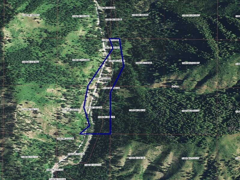

Auric Magda I (partial)


Auric Magda II (partial)


Images


Auric Magda II Images


Overview
Partial Claim Availability
Auric Magda I – $3,250 $2,925
13.7 acre placer claim
930 feet of Grimes Creek
Boise County, Township 5N, Range 4E, Section 03 NE 1/4
Segregation of Claim Serial IMC 209147
GPS Coordinates
NW 43°48’06.6960”N, -115°57’35.8560”W
NE 43°48’06.6960”N, -115°57’30.6000”W
SE 43°47’53.3040”N, -115°57’32.9400”W
SW 43°47’53.3040”N, -115°57’41.5800”W
NW 43.80186°N, -115.95996°W
NE 43.80186°N, -115.95850°W
SE 43.79814°N, -115.95915°W
SW 43.79814°N, -115.96155°W
Auric Magda II – $3,750 $3,375
19.2 acre placer claim
1400 feet of Grimes Creek
Boise County, Township 5N, Range 4E, Section 03 SE 1/4
Segregation of Claim Serial IMC 209147
GPS Coordinates
NW 43°47’53.3040”N, -115°57’41.5800”W
NE 43°47’53.3040”N, -115°57’32.9400”W
SE 43°47’40.5960”N, -115°57’34.1640”W
SW 43°47’40.5960”N, -115°57’44.3520”W
NW 43.79814°N, -115.96155°W
NE 43.79814°N, -115.95915°W
SE 43.79461°N, -115.95949°W
SW 43.79461°N, -115.96232°W
Driving Directions: The claim is located 13 miles outside the historic town of Idaho City or approximately 45 minutes from Boise. Driving directions to the claim: From Boise (off I-84), travel north on HWY 21 to Grimes Creek Road (approximately 23 miles from I-84). Turn left (north) onto Grimes Creek Road, which you will stay on for 7 miles until you reach the mining claim. Signage is posted clearly identifying the claim along the roadside.